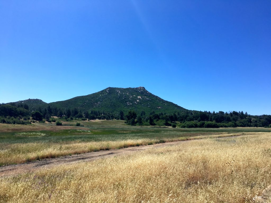
I have a multiple-day hiking adventure planned in a few weeks to start hiking some of the peaks on the inaugural Central Coast Six Pack of Peak Challenge. One of the peaks, Alan Peak, is an 11-mile round-trip hike. So far, I had not hiked anything more than about 6.5 miles, so I wanted to get in one longer, harder hike before I committed to the drive up to the central coast. I figured summiting Cuyamaca Peak would be the perfect test of my foot and my fitness. This was going to be a solo trip as my usual hiking partners had other commitments. I decided to do my traditional route from Milk Ranch Road. I pulled into the parking area just before 6:30. It was a little brisk, but I knew that was going to quickly change once I started. I cruised along Milk Ranch Road at a nice pace. One of the things I was focusing on was keeping a more steady and measured pace with my hiking. I am still rebuilding from almost a year off the trails, so I need to be mindful of this. Another thing I wanted to do on this hike was not look at my real pace or my location. I knew this trail well, so there was no need to know exactly where I was. I decided to just listen to my heart rate and my breathing and let the trail come as it may.


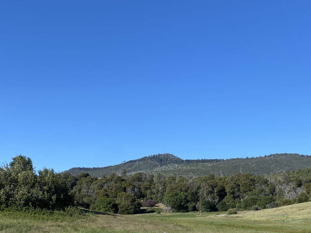
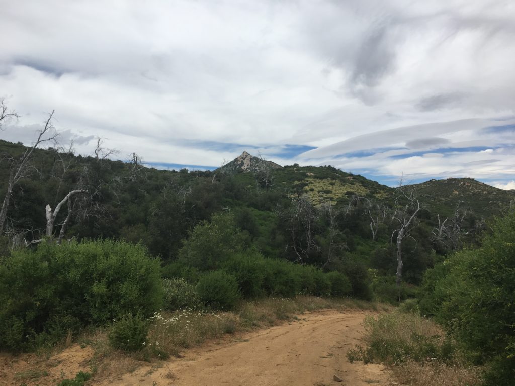
Not long after starting up the road, a gaggle of wild turkeys ran off the road into a clearing nearby. On the drive in, I spotted a lone deer in the meadow. I wondered if I was going to encounter any other wildlife today. The nice thing about this route is that the 1.6 miles along the road is a nice steady grade and a wonderful way to warm up everything before you start making some serious elevation gain.


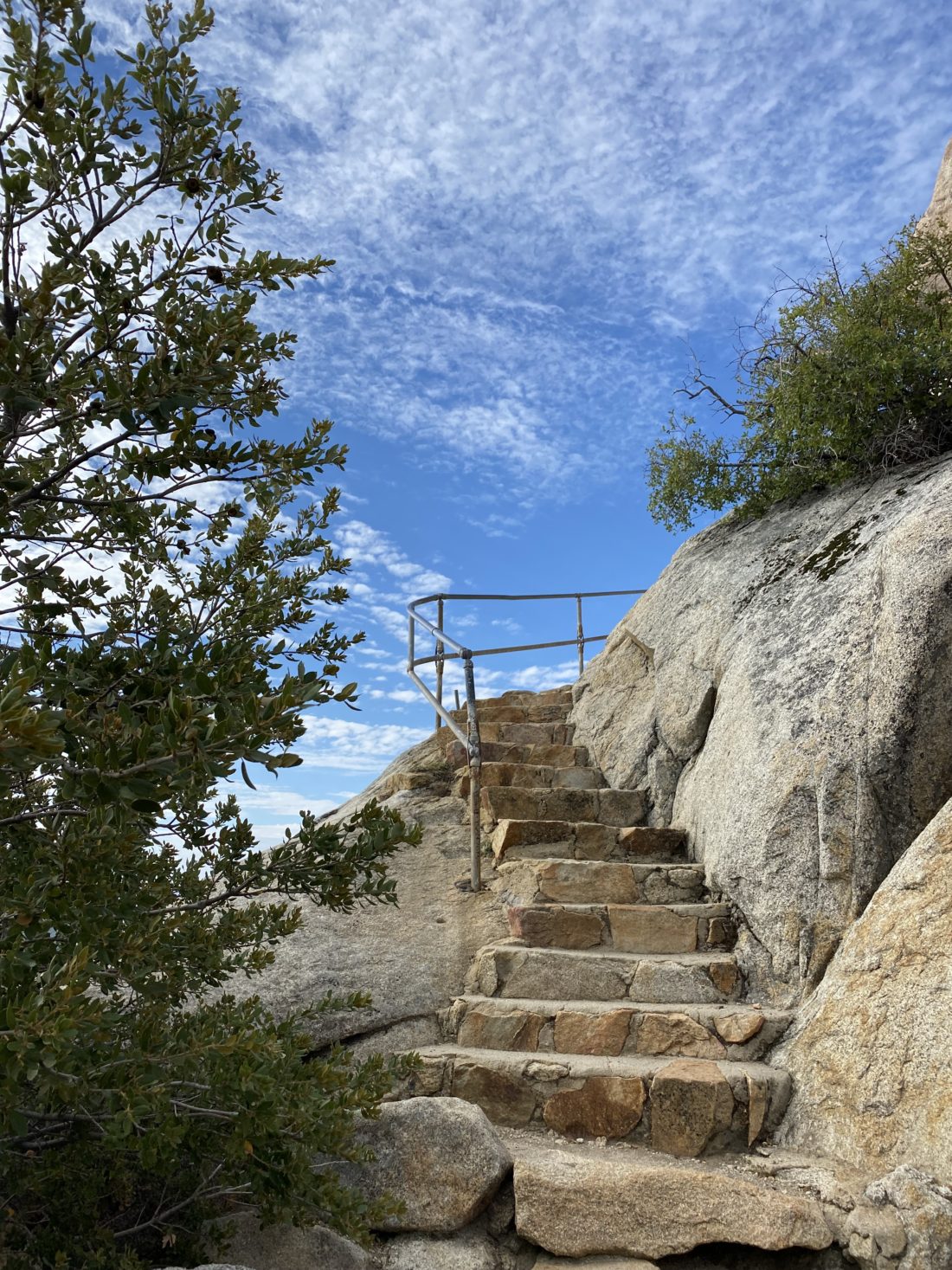
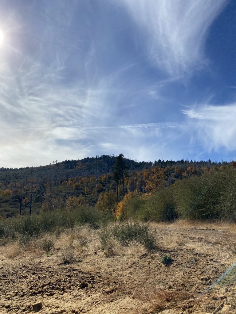
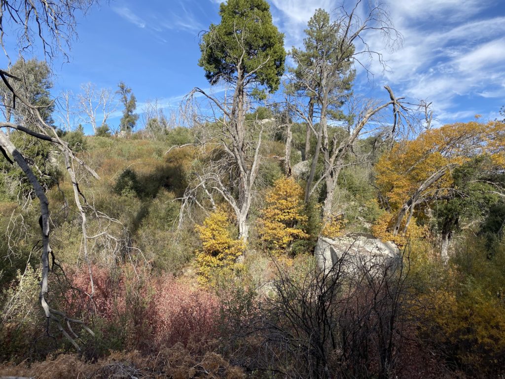
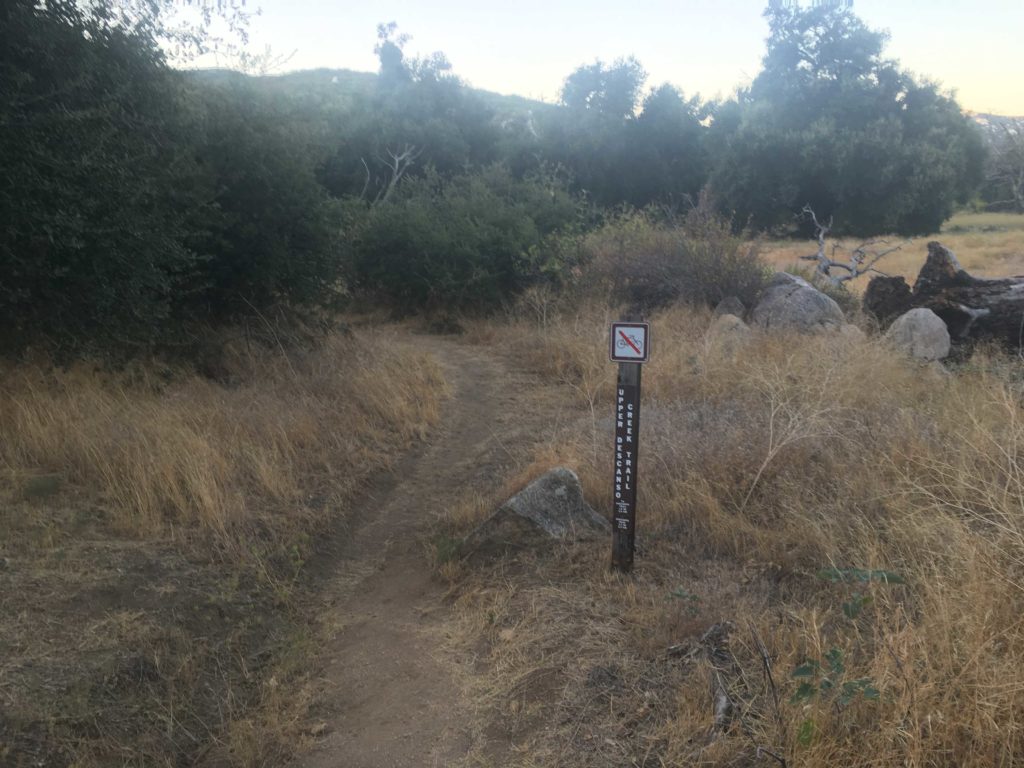
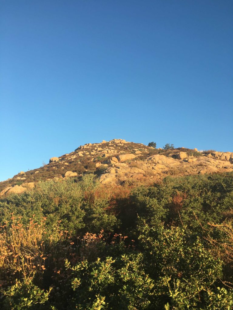
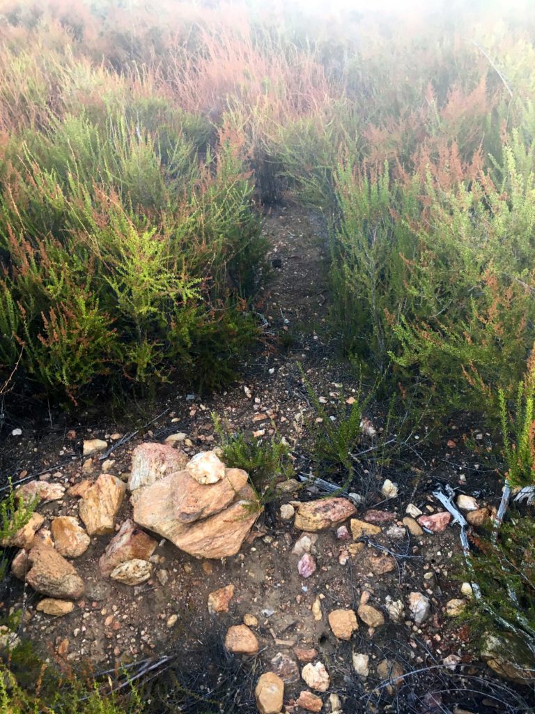
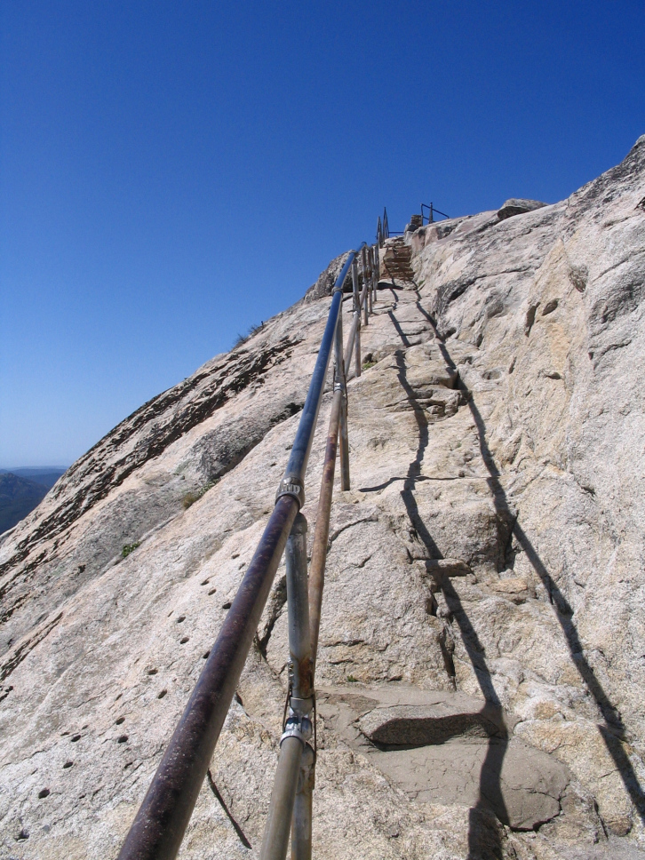
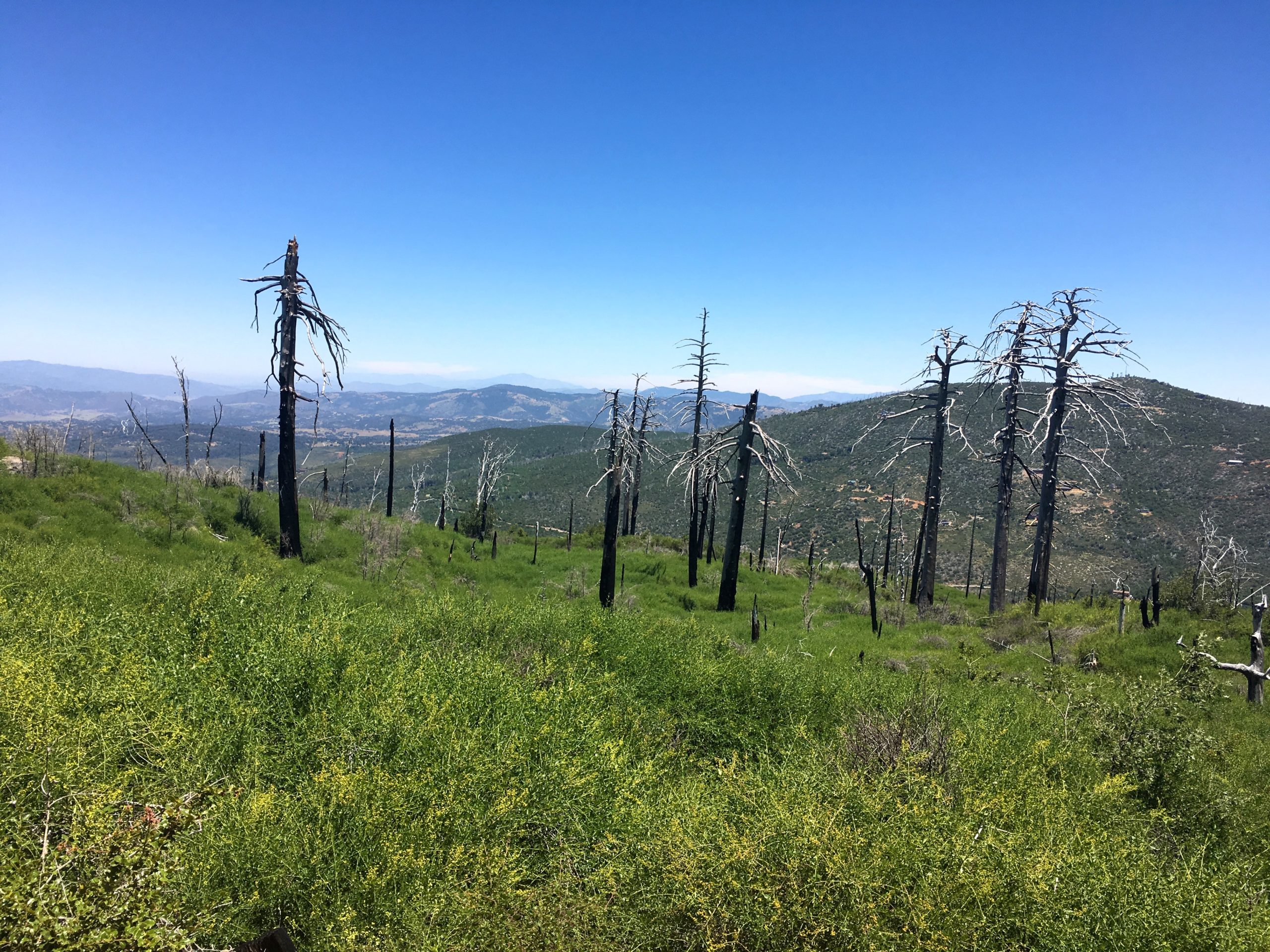
I turned on the Azalea Spring Fire Road and had that first steep section to push through before reaching the junction with the Conejos Trail. The beginning of the trail was a tad overgrown, and if you were not looking for it or the trail sign poles, you might miss it. The overgrowth soon faded, and the steep and rocky aspects of the trail took over. I wondered if Hurricane Hillary had done any damage to the trail, and if the storm had done any, if the repairs were already done. I kept an ear out as I passed near Conejo Spring to hear if it might still be flowing, but I only heard the sound of some birds. Along the way, I encountered a backpacker who had spent the night at the summit (which I believe is not allowed). We chatted some, and he was planning to head over to Middle Peak. While it had been a few years since I did it, I gave him a few bits of information. The key point I stressed to him is there is almost no view at the summit! He asked about water, so I told him I did not think the spring was running, so he would have to continue on to another water source.


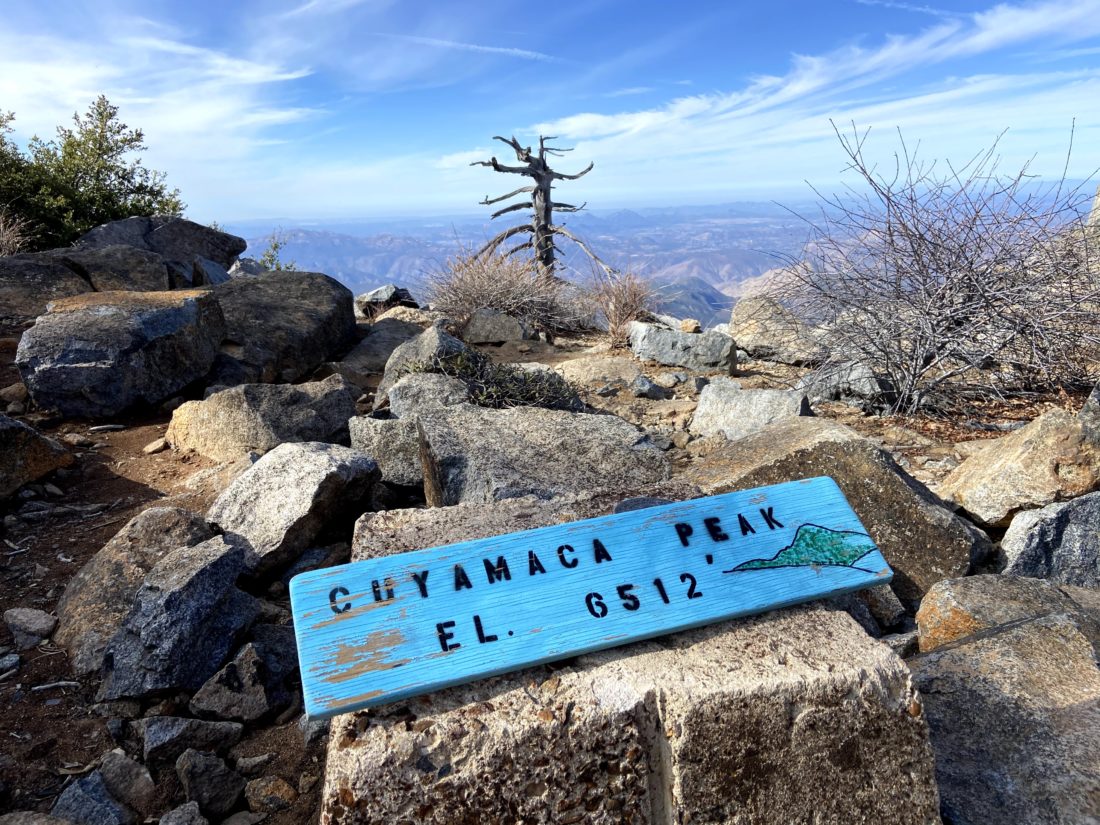
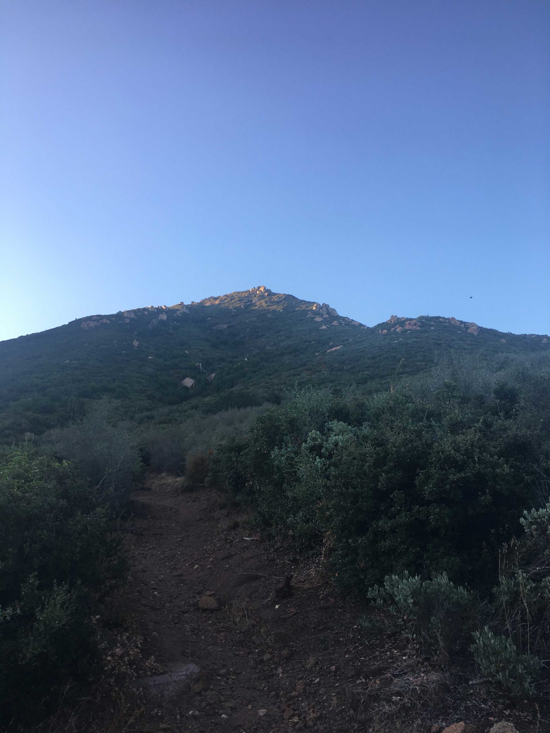
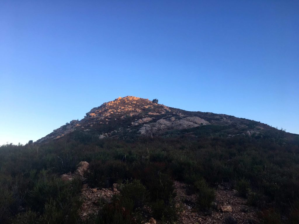
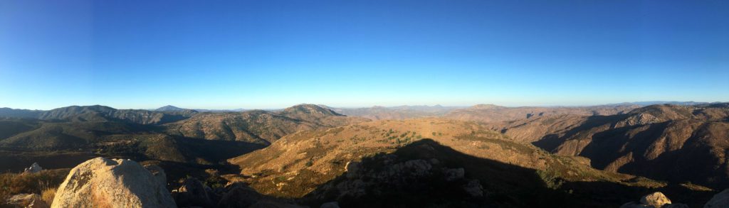
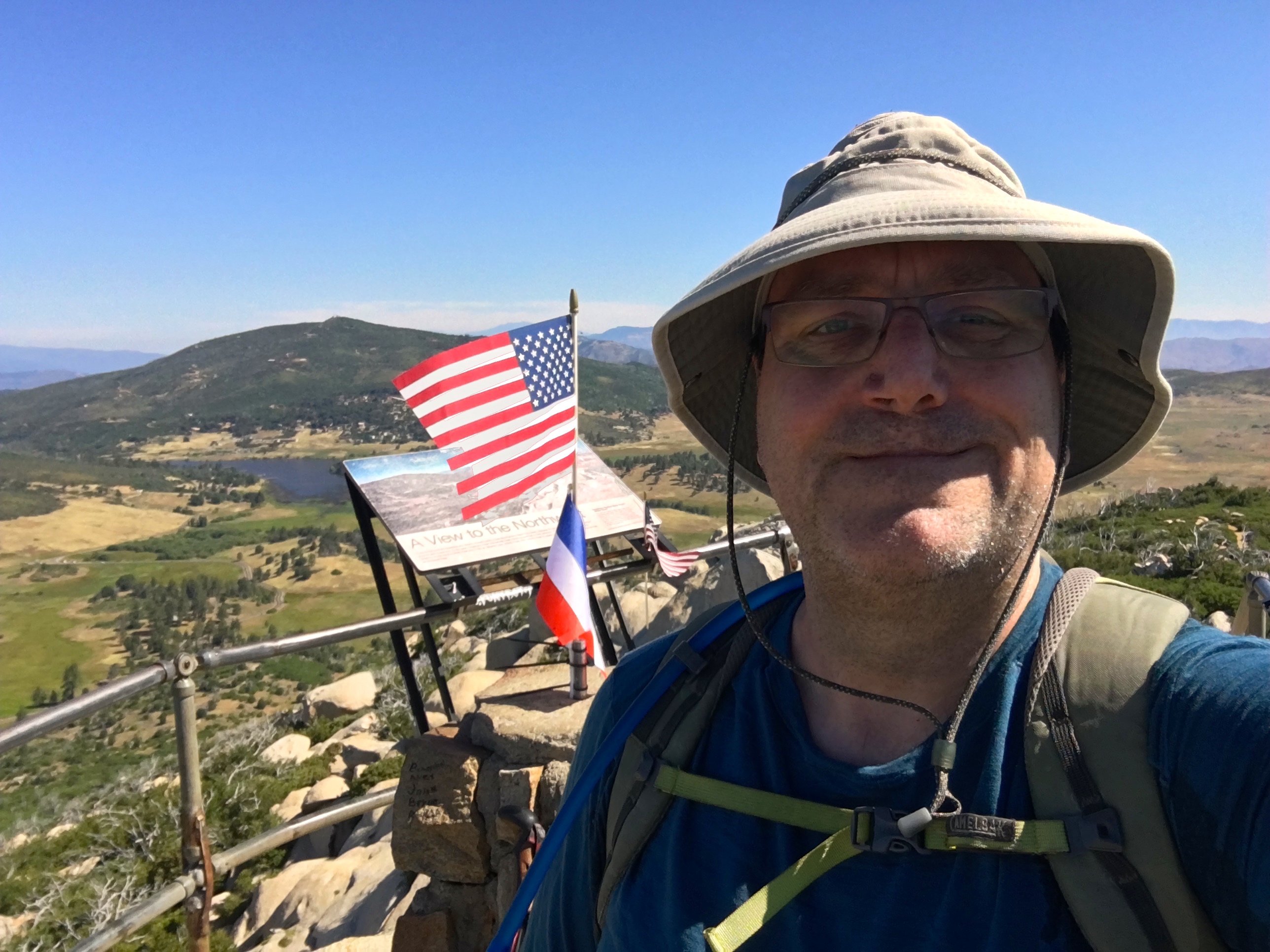
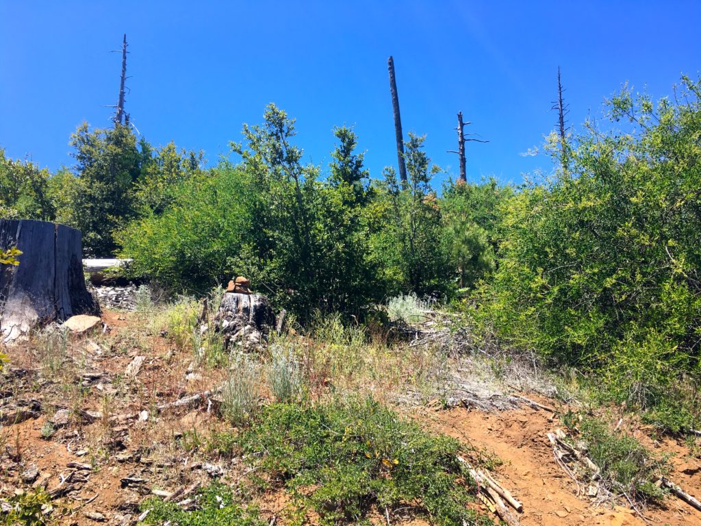
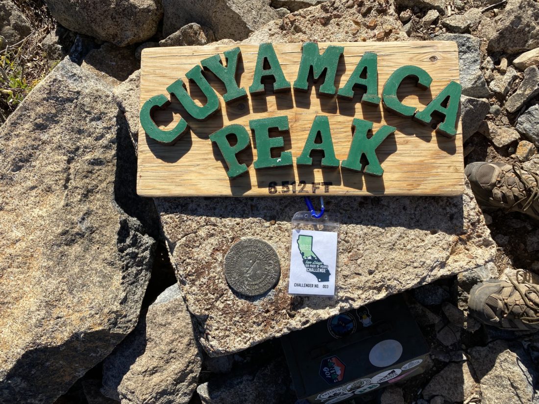
The trail reached the service road, and I took a quick break. I needed to take care of a hot spot that was forming and to put on the rubber tips for my trekking poles. No need to wear down the tips on the pavement. While I knew I was not quite at the summit, as I still had about 1/2 mile to go, I was feeling good about the effort so far. I plodded up the road, and green pine cones were scattered around. Some damage from the storm I suspected. Soon, the end of the road came into view and after a short bit of off-trail, I was at the summit of San Diego’s second highest peak.


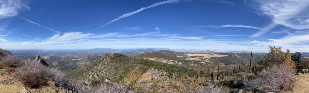
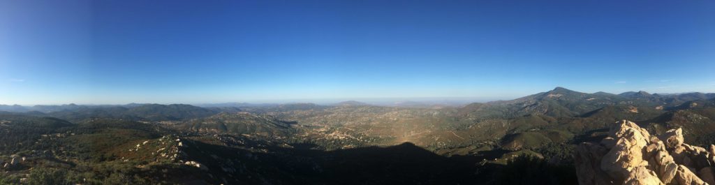
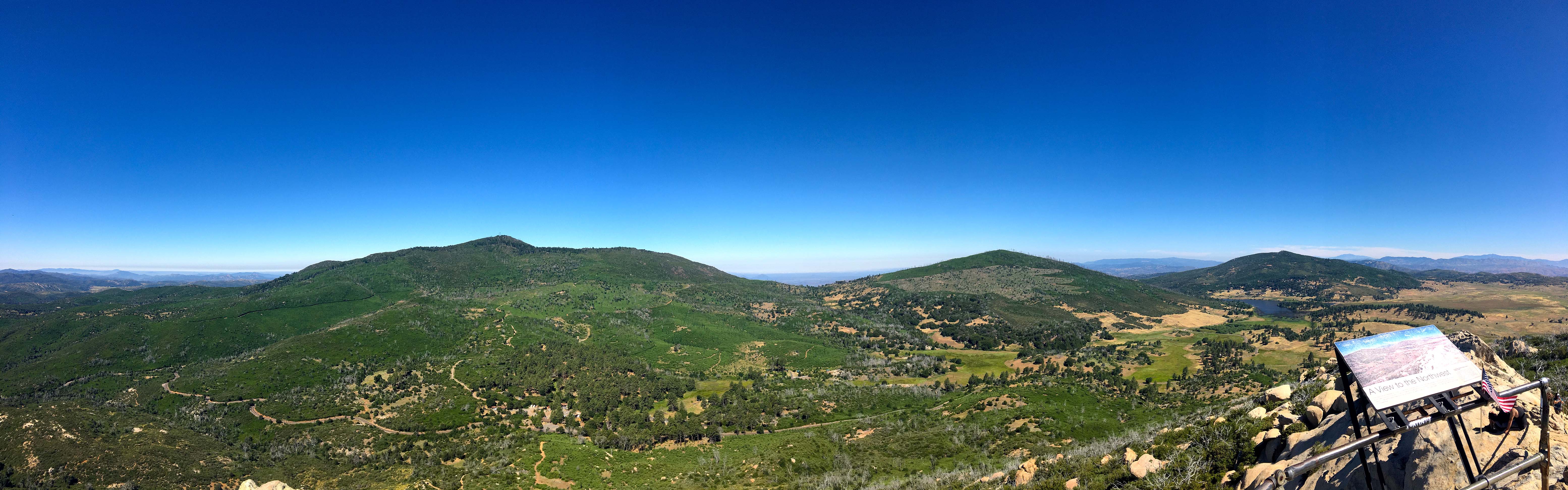
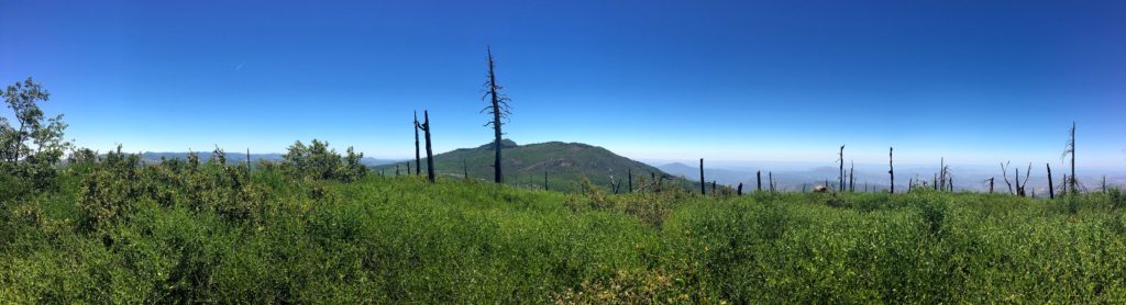
I found a nice shady spot and enjoyed some snacks and electrolytes. I had the summit to myself, so I just took in the sweeping views to the west. I took my photos around the summit and began the long descent. I passed the junction to the Conejo Trail and kept walking down the steep service road. The sun was making the asphalt nice and toasty, so I was looking to get back onto the Azalea Spring Fire Road and have a little less reflective heat. Along the way, I passed a couple making their way up. They were training for some hiking in Scotland in a few weeks while they visit their daughter. I wished them well as they pushed on.


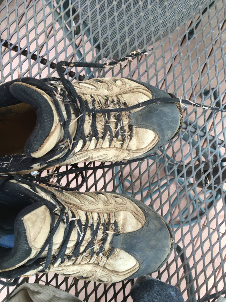
Once off the service road, I cruised on. At Azalea Spring, I met up with that backpacker again. He was filtering some water before continuing on. He decided to skip Middle Peak and was going to head over to Cush-Pi (Stonewall Peak). Being from Florida, he was certainly feeling the altitude. I left him to filter the water and continued on. The bugs were starting to become annoying in the shady sections, almost to the point of breaking out the bug net. But I knew that I did not have that much further, so I would just swish them away. Soon, the car came back into view. The parking area had filled up, including a horse trailer. Given I only saw two other hikers after Azalea Springs, I wondered where they were out exploring? All told I hiked 8.6 miles with 1,860 feet of gain. My moving time for the hike was 3:50! I was really pleased to see that. I probably spent 15-20 minutes talking to some of those people I passed on the trail.


I am an avid peak bagger, sometimes backpacker, and former sea kayaker living in San Diego. In 2019, I became the third person to complete the San Diego 100 Peak Challenge. Not stopping with that accomplishment, I set my sights on the harder San Diego Sierra Club 100 Peak list, which I completed in 2021. In addition, I have conquered several Six-Pack of Peaks challenges (SoCal, San Diego, Central Coast, and Arizona-Winter). Beyond attempting the San Diego Sierra Club 100 Peak list a second time, I am looking forward to exploring new summits and new adventures across the southwest.