After hiking the Santa Ysabel East Loop, Ted and I continued our adventure by driving up toward Palomar High Point. Like before, we drove up the Palomar Divide Road toward the summit. This is a 13-mile dirt road that can get a bit rough from time to time. After about an hour of driving it, we came to where we usually park and then make the short hike to the summit, but the gate to the actual summit was open, so we continued on up. We parked under some shade, as the temperatures were already approaching 90°F! Some motorcyclists were enjoying their lunch nearby. We wander around a bit snapping a few photos.
Once we were done, we began the long bumpy drive back down. We were both getting hungry and sandwiches from Dudley’s were calling our names…
Hiked: March 15, 2020 Summit: 6,130 feet Distance: 13.2 miles Elevation Gain: 3,520 feet Round Trip Time: 5 hrs 45 mins
Our plan for the day was to drive out toward the Schoepe Boy Scout Reservation and hike out to Collins and Knob Benchmarks. This hike was going to be somewhere between 11 and 12 hours, so an early start was in order. We met up at the McDonald’s in Rancho Bernardo around 5 am and headed north toward Temecula. From there we would come back down the 79 to Chihuahua Valley Road then onto Lost Valley Road. As we drove on the dirt road, we encountered a closed gate. Crud. Although it was not locked, we opted not to proceed, as I had hit a few muddy spots already.
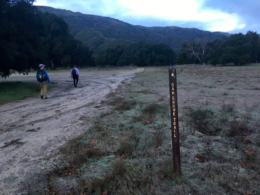
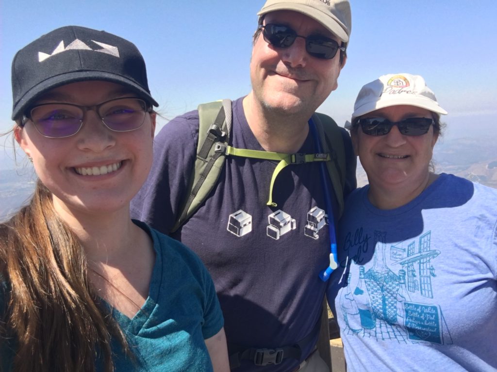
So, we thought about what alternate peaks we might go for instead. Both Matt and I needed to summit Palomar High Point for our respective lists, so up the 79, we went. Parking near the Oak Grove Fire Station, we geared up and headed off, following the nearby sign to the Oak Grove Trail.
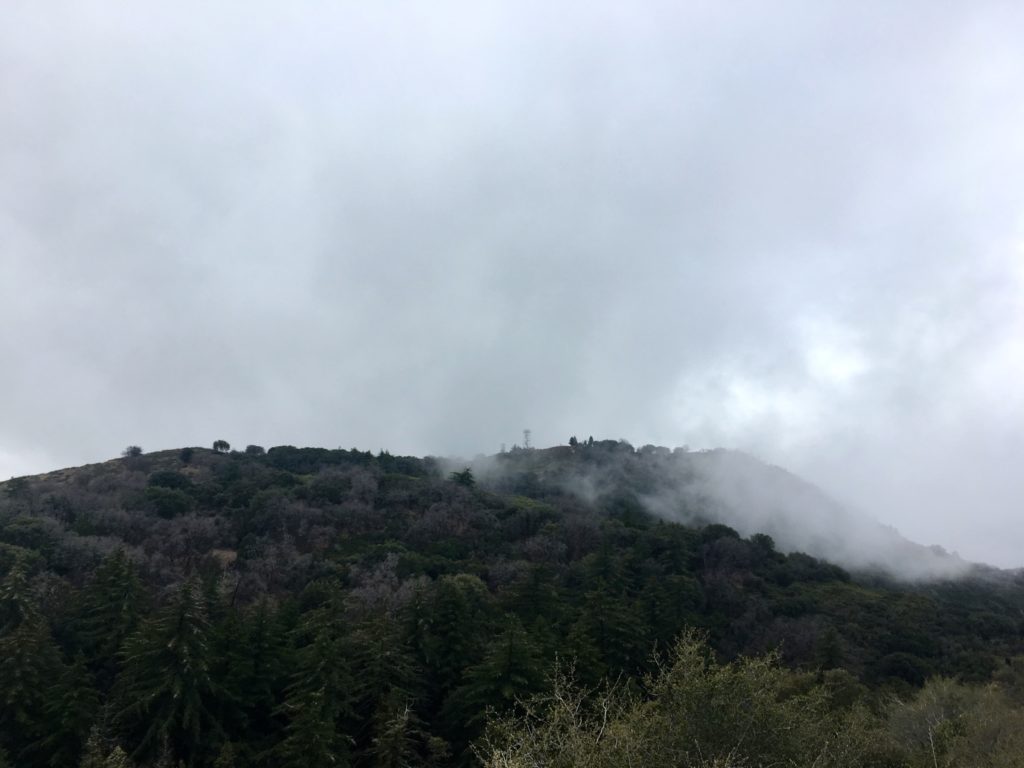
Quickly the trail began its sharp climb, gaining about 1,500 feet in just under 2 miles. The trail was a little muddy in some spots, but nothing troublesome. With the cloudy skies, there was no worry about getting too warm from the lack of shade.
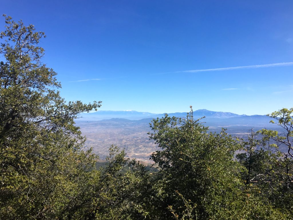
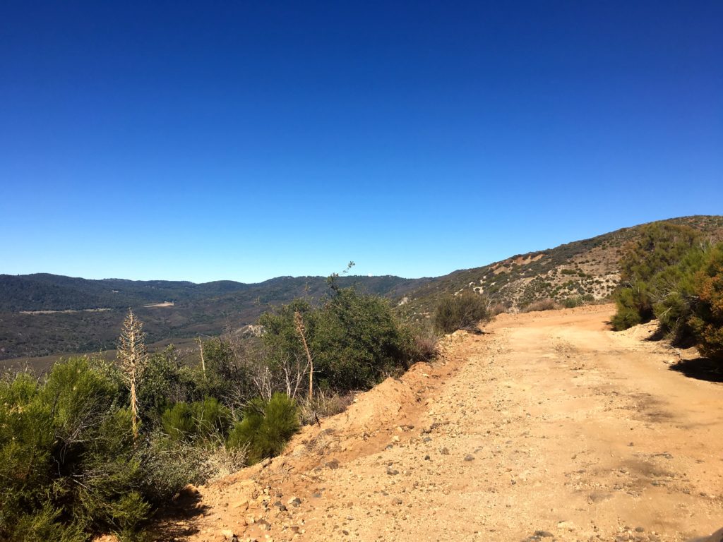
The single-track trail then connected with the Oak Grove Fire Road. We took a short breather here before continuing. We stayed on this road for about 1.5 miles until we reached the High Point Truck Trail. Along the way we caught some great views of the snow-capped peaks of Mt. San Gorgonio and Mt. San Jacinto to our north. While not as steep as the first section of this hike, you still will be working those quads!
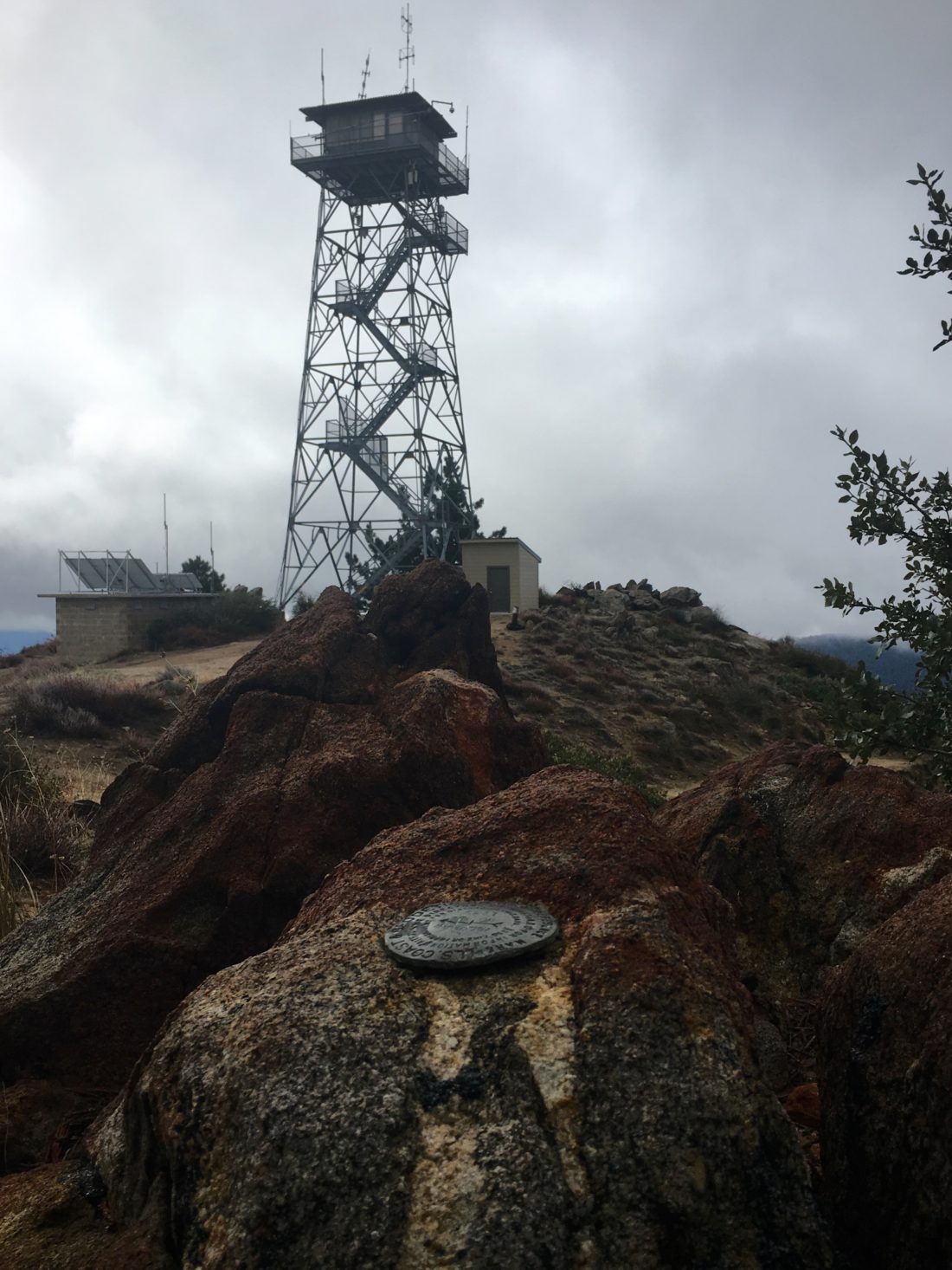
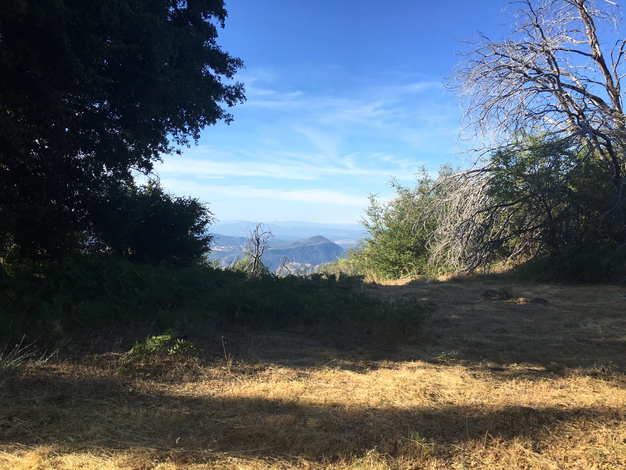
After about 5 miles into the hike, we reached the junction with the Palomar Divide Truck Trail. It was near here that I had parked on my previous times to the summit, so the rest of the hike was familiar. We started getting closer to the summit and the clouds were getting closer as well, so we donned another layer before continuing to the summit.
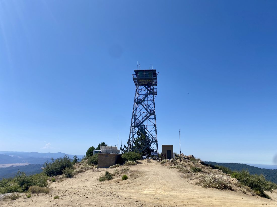
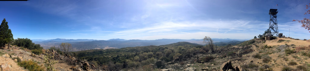
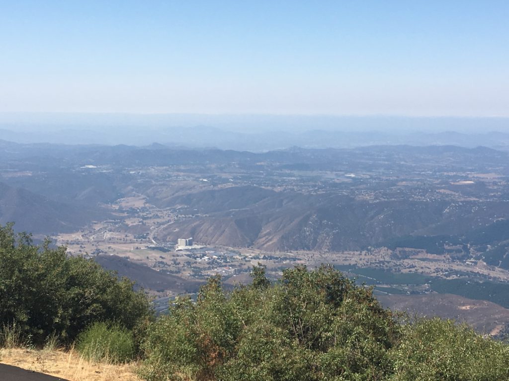
As we rounded the final section of the hike, we could feel the wind pick up and knew that we would not be lingering at the summit. We took a short break for some food and a few photos. The white domes of the Palomar Observatory were to our west. The tower was closed for the season (you can’t go up even if it is open).
We retraced our route back down the mountain, encountering several other hikers making their way up to the summit. I don’t think we stopped for any measurable period of time during our entire descent. Back in the car, we wondered when we might be able to try for Collins and Knob, given the forecast for the week and the uncertainty about Covid-19. With that said, we did the 13.2 miles in 5:45 hrs. That was the first peak toward my Six-Pack of Peaks Challenge. I am aiming to complete all 18 this year. Wish me luck!
I am an avid peak bagger, sometimes backpacker, and former sea kayaker living in San Diego. In 2019, I became the third person to complete the San Diego 100 Peak Challenge. Not stopping with that accomplishment, I set my sights on the harder San Diego Sierra Club 100 Peak list, which I completed in 2021. In addition, I have conquered several Six-Pack of Peaks challenges (SoCal, San Diego, Central Coast, and Arizona-Winter). Beyond attempting the San Diego Sierra Club 100 Peak list a second time, I am looking forward to exploring new summits and new adventures across the southwest.
With my foot not at 100% and the high temperatures, I opted for Boucher Hill. I had considered doing it as a two-fee with Volcan Mountain but did not want to attempt that much mileage. I parked at the Silvercrest picnic spot and headed down the road to the trailhead. A nice breeze kept me cool as even at 8 am, it was starting to warm up. The trail gently works its way for about a mile until it reaches the lookout tower. The marine layer hugged the coast, but otherwise, the views were lovely. I could see Mt. Baldy and San Gorgonio In the distance.
After chatting with the volunteers for a bit, I headed back down the trail to the car. I debated doing the full loop but did not want to push my foot yet.
Once I got back to the car, the temperature was already 80°F. Glad I hit it early.
I am an avid peak bagger, sometimes backpacker, and former sea kayaker living in San Diego. In 2019, I became the third person to complete the San Diego 100 Peak Challenge. Not stopping with that accomplishment, I set my sights on the harder San Diego Sierra Club 100 Peak list, which I completed in 2021. In addition, I have conquered several Six-Pack of Peaks challenges (SoCal, San Diego, Central Coast, and Arizona-Winter). Beyond attempting the San Diego Sierra Club 100 Peak list a second time, I am looking forward to exploring new summits and new adventures across the southwest.
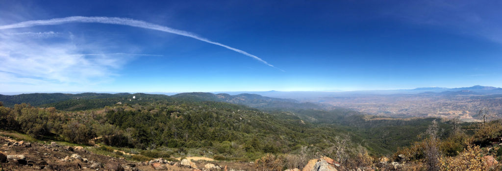
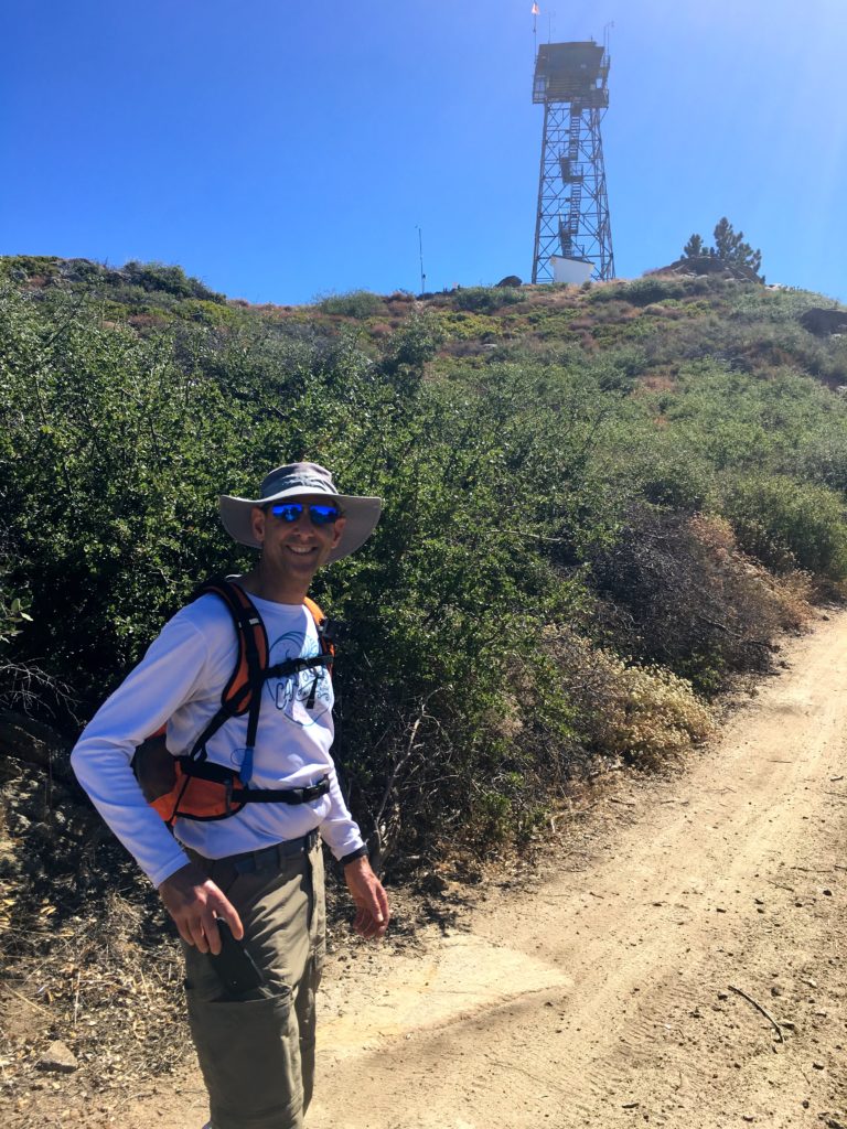
We had planned to attempt to summit Square Top via the Los Coyotes Indian Reservation. Unfortunately, they are no longer allowing access to the trailhead. So, Gail needed to complete her summit of Palomar High Point, so since we had a capable car, along the Palomar Divide Trail we went. We parked at the same spot as before and worked our way to the lookout tower. This time the mountains to the north still gleamed with snow.
The area directly around the tower had been burned, most likely due to a controlled fire.
We took a few photos, then headed back down to the car and off to the next hike. There was an hour of driving down from the summit before we had to make our decision. We debated between Combs Peak, which was to the northwest of us, or out to Eagle Rock.
Once we reached the main road, we decided to go summit Combs Peak again, so off went!
I am an avid peak bagger, sometimes backpacker, and former sea kayaker living in San Diego. In 2019, I became the third person to complete the San Diego 100 Peak Challenge. Not stopping with that accomplishment, I set my sights on the harder San Diego Sierra Club 100 Peak list, which I completed in 2021. In addition, I have conquered several Six-Pack of Peaks challenges (SoCal, San Diego, Central Coast, and Arizona-Winter). Beyond attempting the San Diego Sierra Club 100 Peak list a second time, I am looking forward to exploring new summits and new adventures across the southwest.
Since it was still too hot to consider any of my remaining peaks out in Anza-Borrego proper, we decided to tackle Palomar High Point. Although I still want to hike it from Oak Grove, we opted to drive up the Palomar Divide Trail partway, then hike to the lookout.
We drove the dirt road without incident, meeting one car coming down. Parking the car at a nice turnout, we started up the road under the shade of the trees. Soon, three trucks passed us heading back down from the summit.
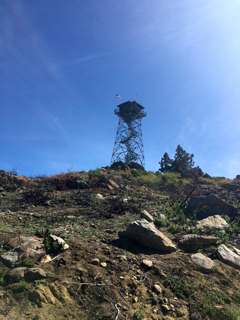
After about a mile and a half, we reached the summit. The lookout tower is not open to the public. We wandered around the grounds some before heading back down.
In two weeks, Ted and I would be attempting to summit Half Dome, so we spent much of the time discussing our plans.
We quickly found ourselves back at the car and off to lunch after the drive back down.
I am an avid peak bagger, sometimes backpacker, and former sea kayaker living in San Diego. In 2019, I became the third person to complete the San Diego 100 Peak Challenge. Not stopping with that accomplishment, I set my sights on the harder San Diego Sierra Club 100 Peak list, which I completed in 2021. In addition, I have conquered several Six-Pack of Peaks challenges (SoCal, San Diego, Central Coast, and Arizona-Winter). Beyond attempting the San Diego Sierra Club 100 Peak list a second time, I am looking forward to exploring new summits and new adventures across the southwest.
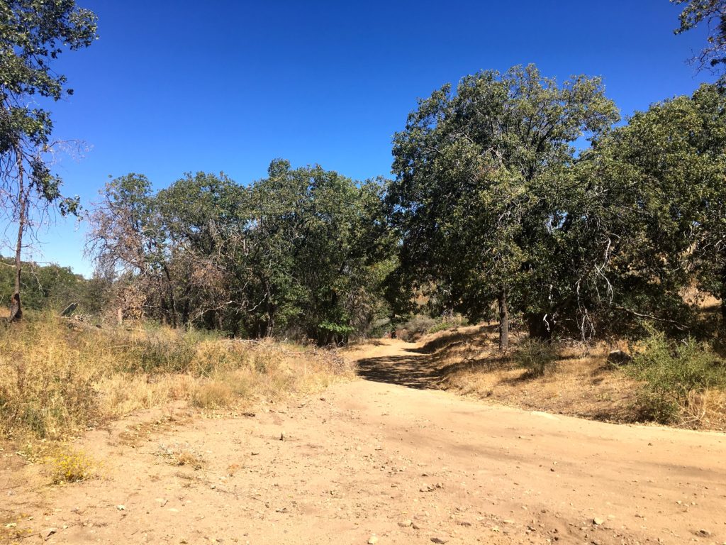
This was a nice simple hike with my wife and daughter. Although you can drive to the lookout tower, we decided to start from the parking lot before the turnoff to Doane Valley. The trail works its way up gently through the forest before reaching the fire lookout tower.
The tower was manned this day, so we had a lovely chat with the volunteer. Visiting a lookout tower reminded me so much of my childhood, as we would often head to the high Sierras near my parent’s cabin, stopping off at Tobias Peak to visit, and sometimes make the hike out to Baker Point as well.
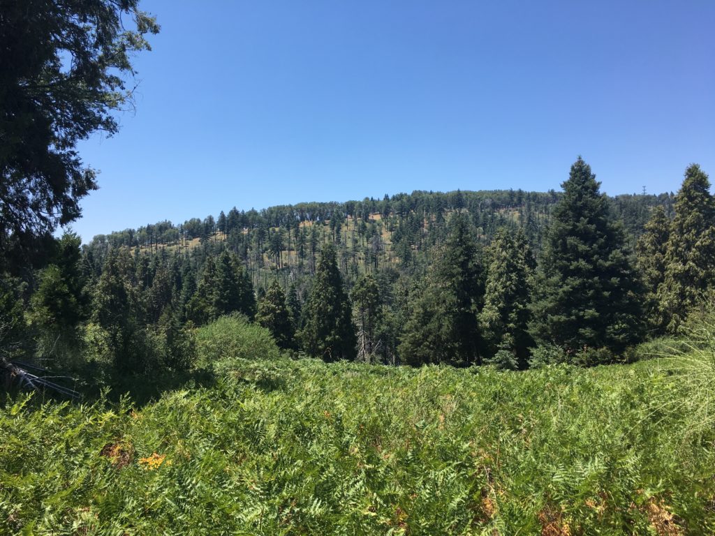
Afterward, we continued the loop towards Scott’s Cabin. We passed through the still green meadows, and towering pines.
I am an avid peak bagger, sometimes backpacker, and former sea kayaker living in San Diego. In 2019, I became the third person to complete the San Diego 100 Peak Challenge. Not stopping with that accomplishment, I set my sights on the harder San Diego Sierra Club 100 Peak list, which I completed in 2021. In addition, I have conquered several Six-Pack of Peaks challenges (SoCal, San Diego, Central Coast, and Arizona-Winter). Beyond attempting the San Diego Sierra Club 100 Peak list a second time, I am looking forward to exploring new summits and new adventures across the southwest.