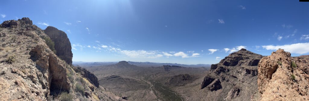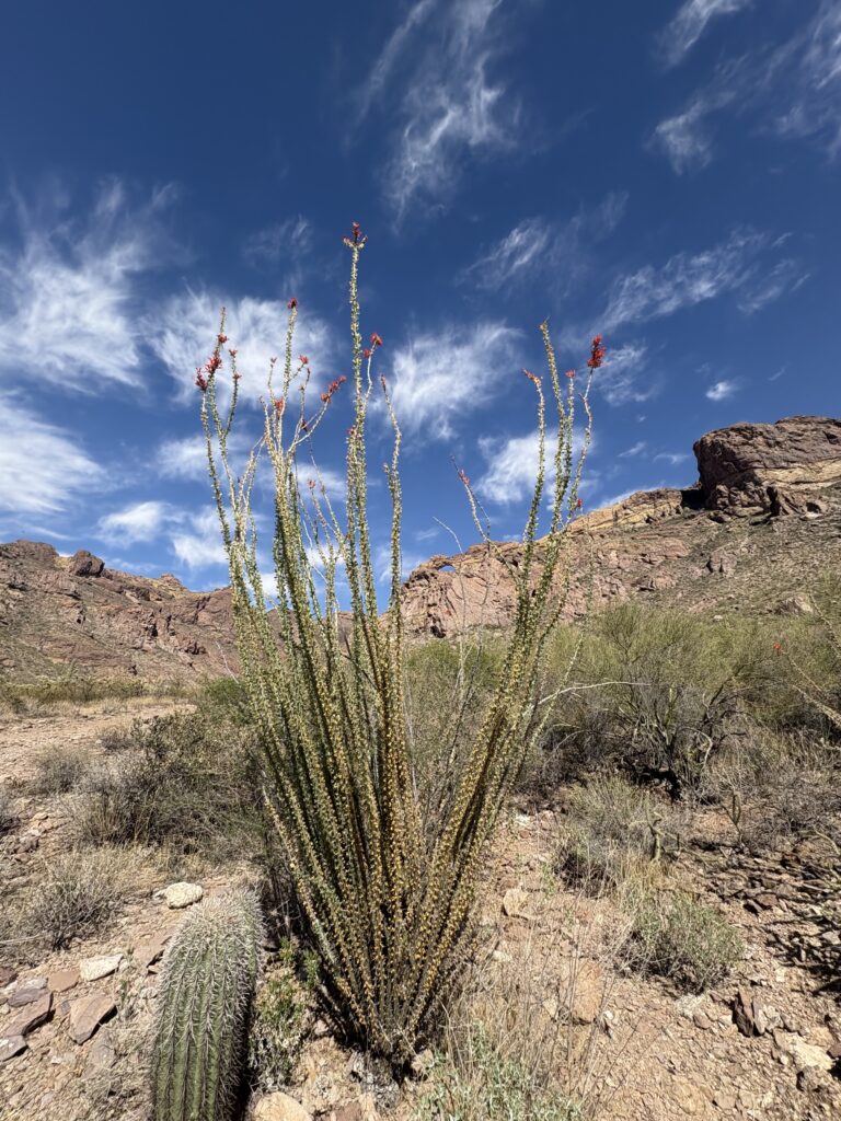
I awoke before dawn and quickly packed up my campsite. Today was going to be the final peak in my Arizona Summer Six-Pack of Peaks Challenge. I drove back down toward Flagstaff and pulled into the trailhead. Along the way, I caught a beautiful sunrise through the overcast skies. A few cars were in the lot when I pulled in. With the showers that hit Flagstaff yesterday, I was mindful of the skies as I set off. The trail started off mellow before really starting its climb to the summit. If you are familiar with the hike up Mt. Baden-Powell from Vincent Gap, you know that you get to enjoy a lot of switchbacks.


I climbed from one to another, enjoying the views of the east side of Flagstaff. Partway up, I started to feel a few sprinkles coming down. I stopped and stored my electronics in a ziplock bag in my pack and continued on. After a while, I pulled my phone back out to continue taking photos of the hike. Soon I was passing through more Aspens, and I knew the summit was drawing near. A hiker and his dog, who had run past me earlier, were making their way down. He congratulated me on having a strong hike. That made my day! This past year has been one of a lot of transformations, and the weight loss and its benefits have been so welcomed.


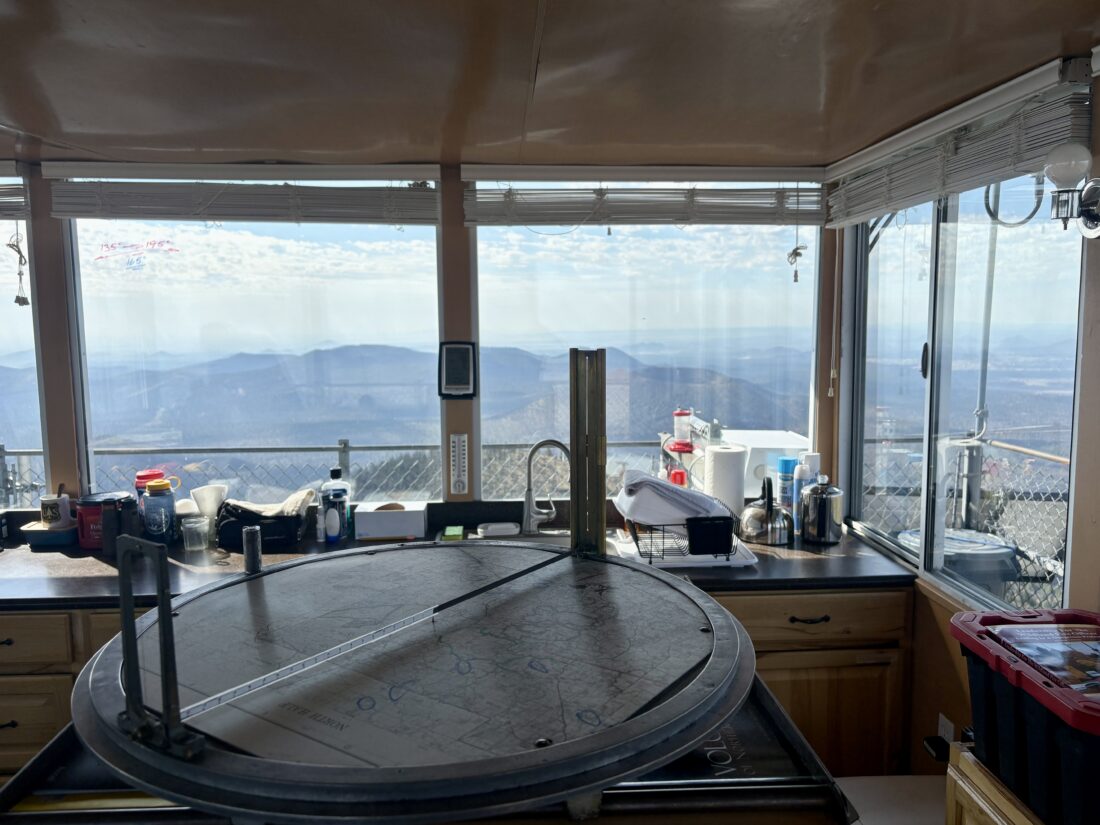
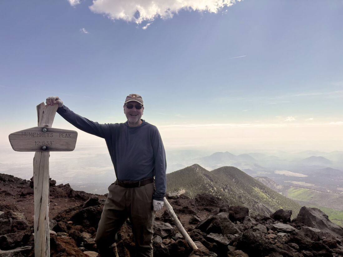
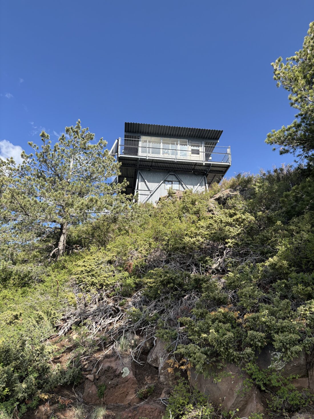
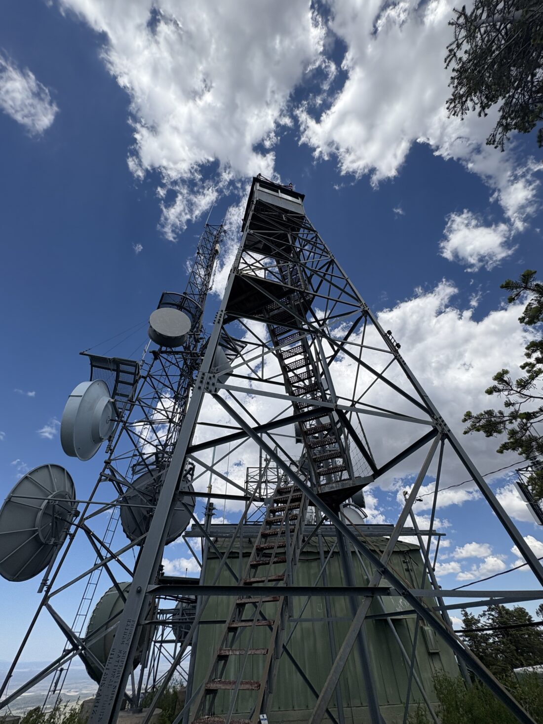
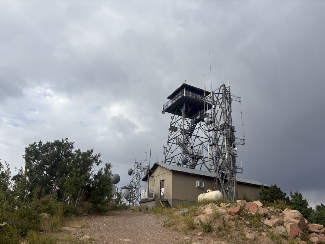
The lookout tower was now before me, and the wind was blowing at a good clip. I found some shelter behind a building and ate a quick snack. I grabbed some summit photos and began my descent, as visitors are not allowed up this tower. The descent went quickly, with my thoughts shifting to the long drive home. I passed a few other hikers making their way up the trail. Before too long, the switchbacks ended, and the end of the trail drew near. I did the 5.15-mile climb in 3:06, with a healthy 2,300 feet of gain. More meaningful was that I was 2 hours faster than last time. I am still processing that fact. Also, that peak completed the Arizona Summer Six-Pack of Peaks Challenge (and my 5th different challenge overall).


I am an avid peak bagger, sometimes backpacker, and former sea kayaker living in San Diego. I am the co-author of Urban Trails: San Diego, coming in Spring 2026!
In 2019, I became the third person to complete the San Diego 100 Peak Challenge. Not stopping with that accomplishment, I set my sights on the harder San Diego Sierra Club 100 Peak list, which I completed in 2021. In addition, I have conquered several Six-Pack of Peaks challenges (SoCal, San Diego, Central Coast, and both the Arizona-Winter and Arizona-Summer).
I am looking forward to exploring new summits and new adventures across the southwest.