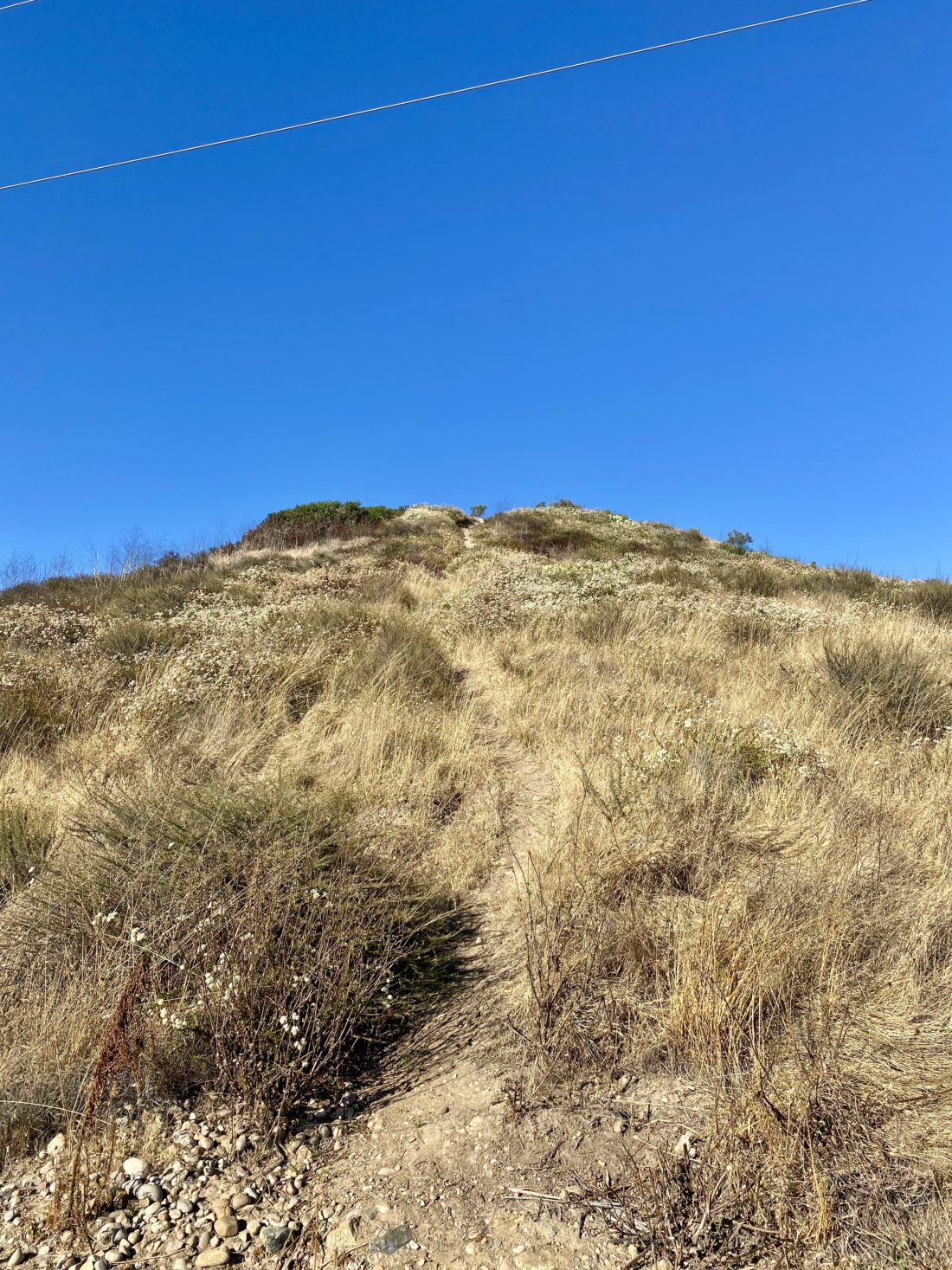
Black Mountain (via Black Widow Trail)

For those hikers who tend to seek out summits, one of the major sources of information (also known as beta) that we use is peakbagger.com. While not the nicest-looking site, the data stored within is invaluable. On the mobile app, the default starting point is a listing of nearby summits. Recently a new summit near my house was added to the database. So, every time I launched the app on my phone, this unclimbed summit was staring me in the face. As one who likes to complete things, this would not do. So, I finally decided to cross Peak 1005 off that unclimbed list.

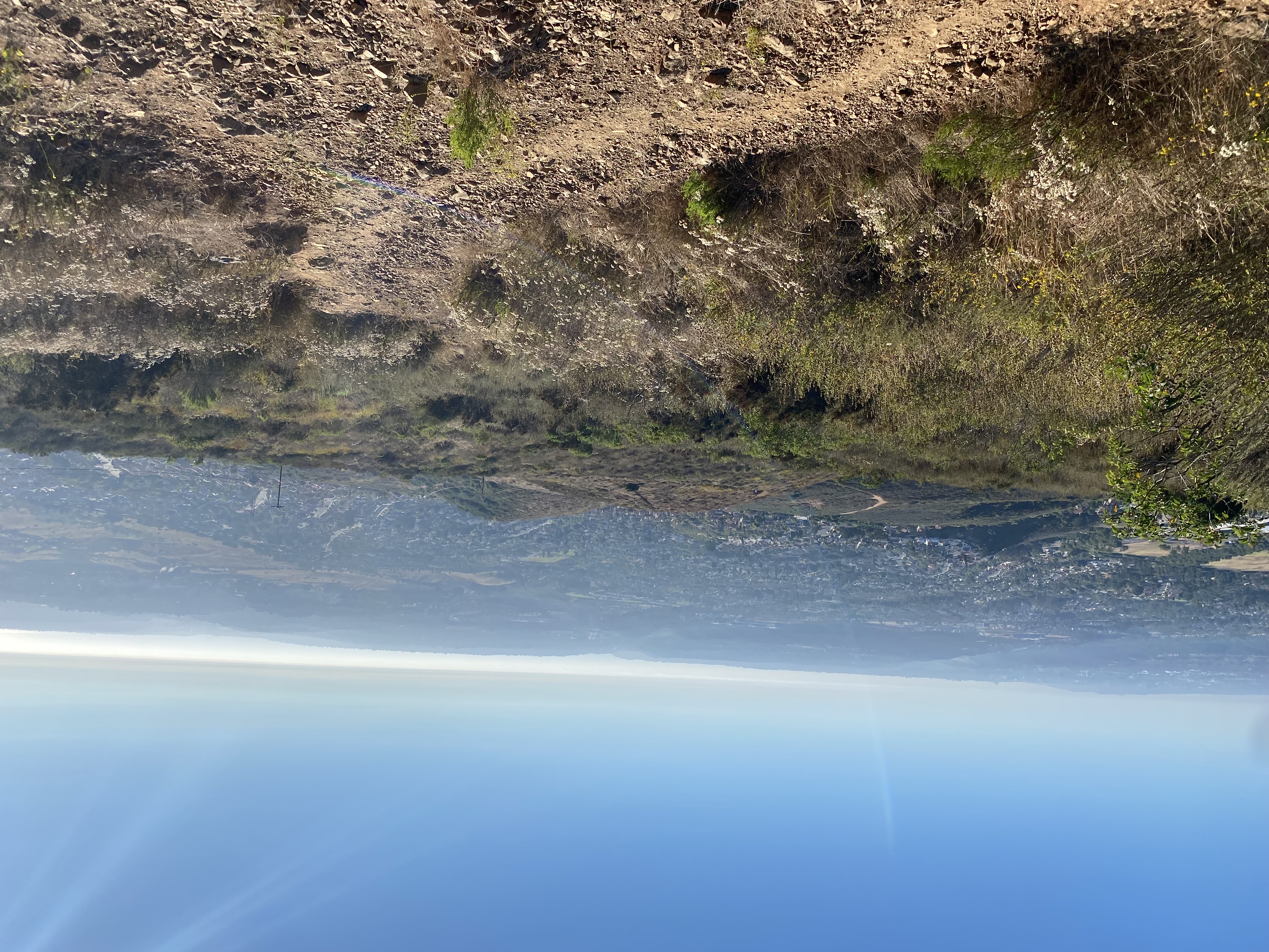
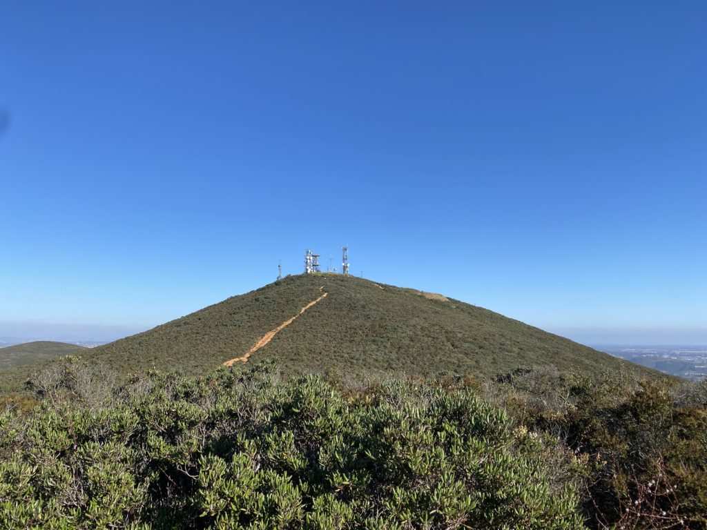
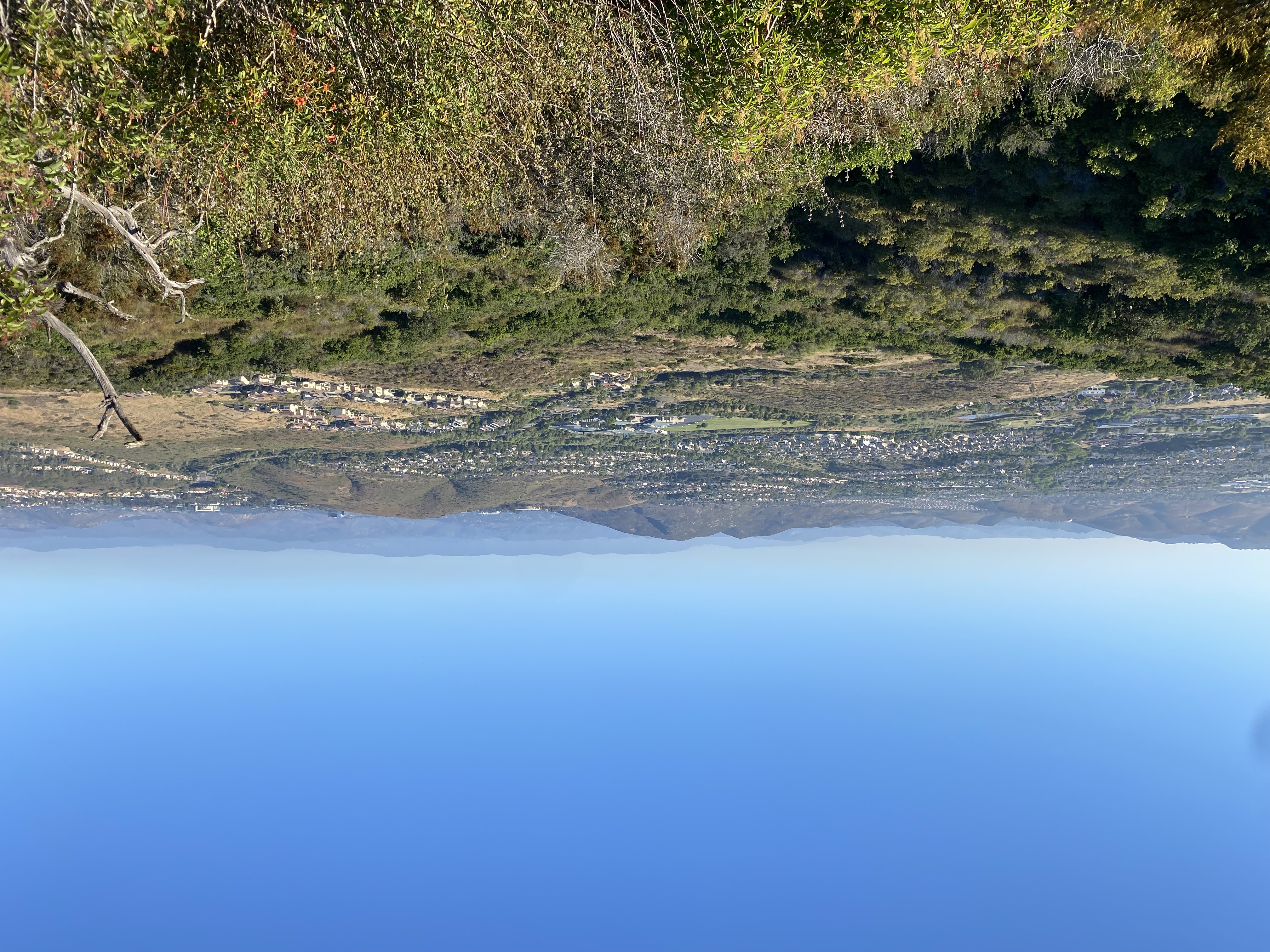
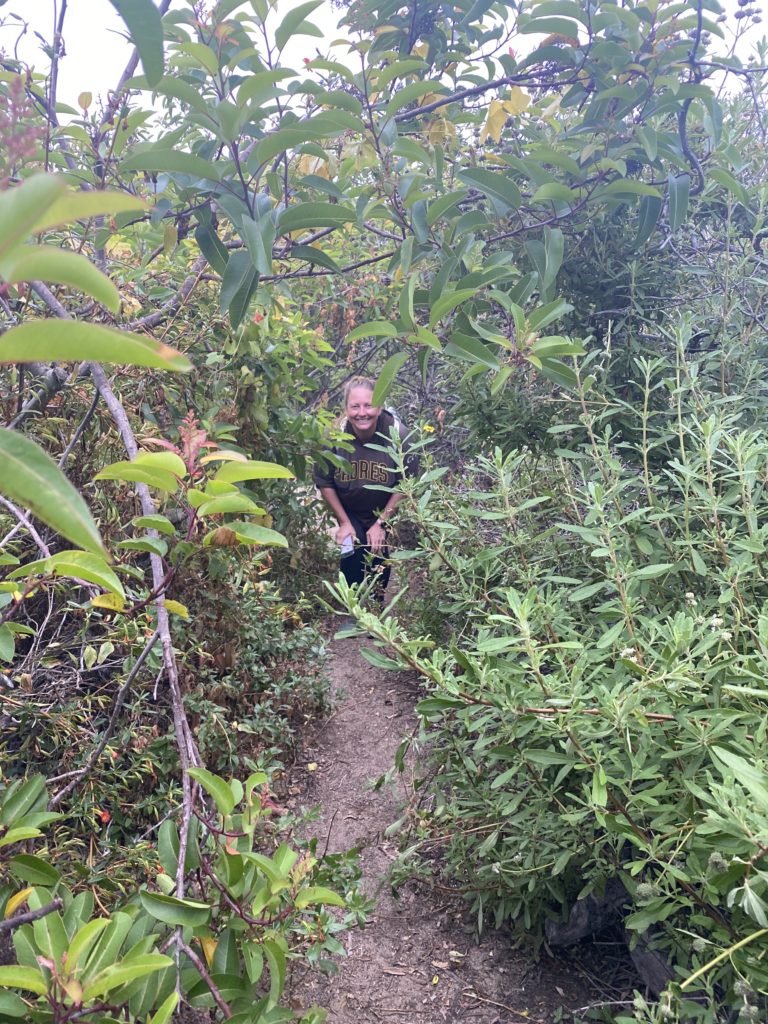
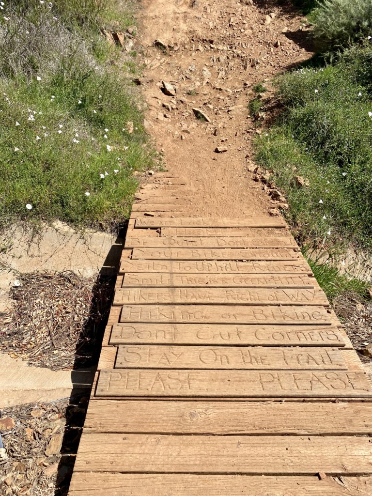
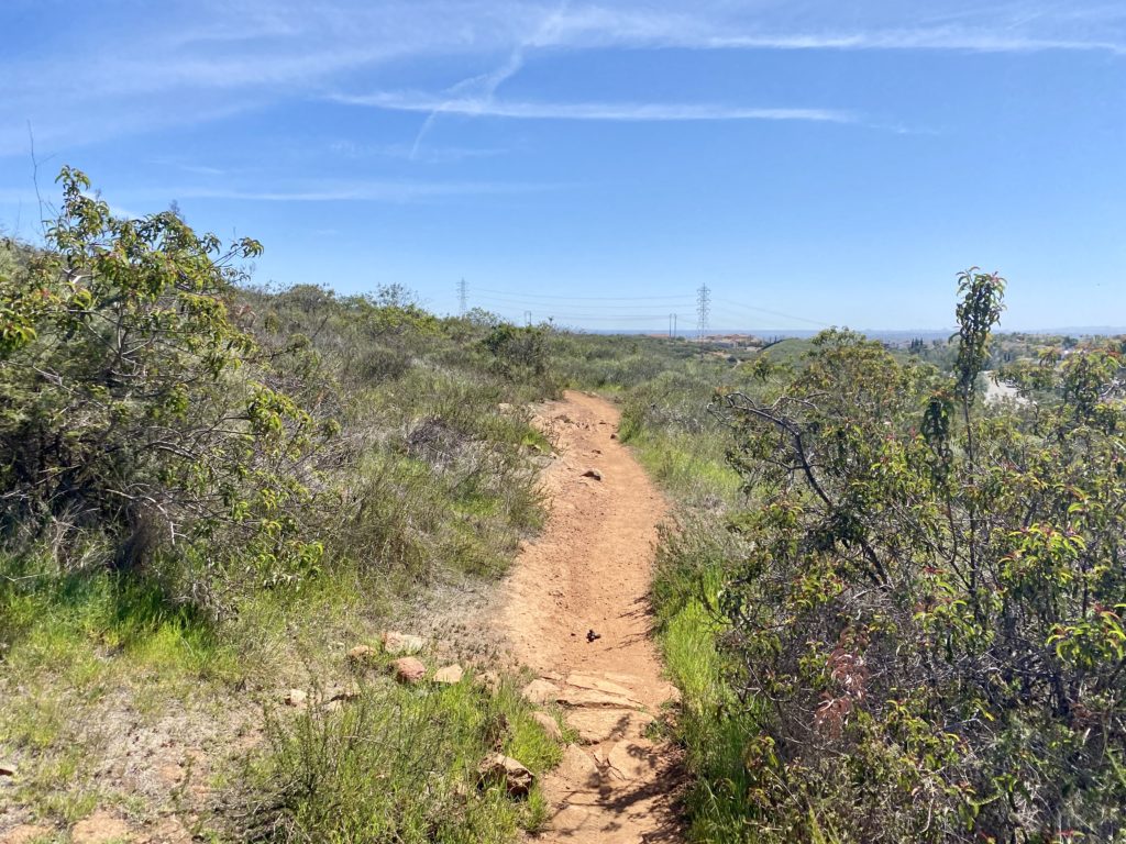
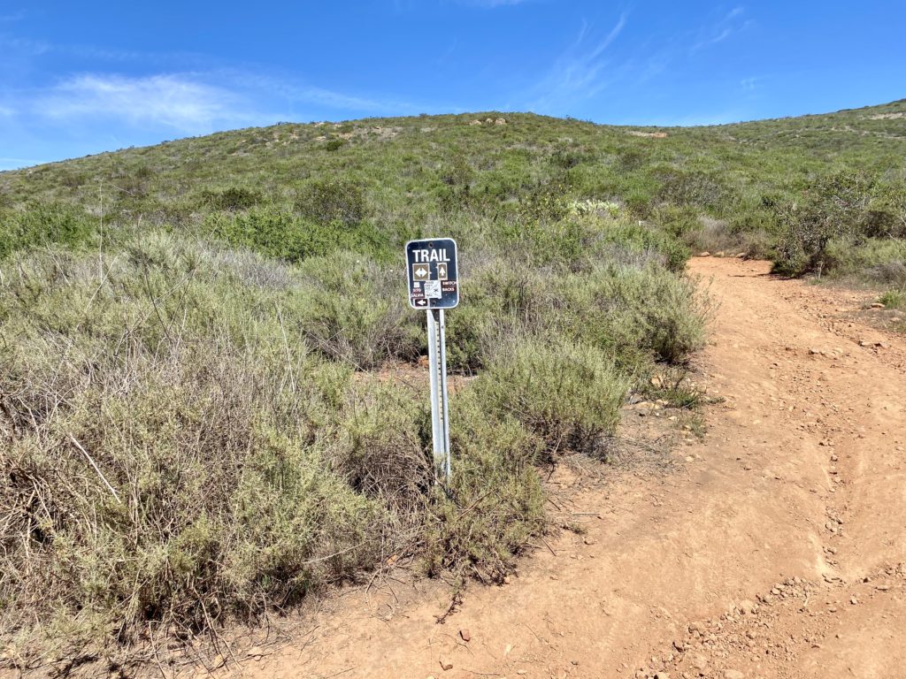
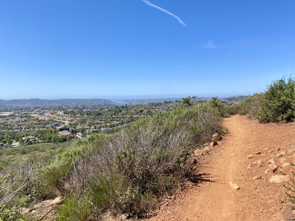
I parked near the service road entrance to Black Mountain and set off in the late afternoon. It was still warm, probably low-80s. Making a turn onto one of the other service roads for the powerline before finding the use trail that I take up to the summit. The trail was very rocky and very steep. This route was certainly one that I would not recommend descending. The trail crest the bump, and I checked my location and I was on top of the summit. I decided to keep climbing to the summit of Black Mountain. My route linked up with the Black Widow trail, and up I went. 

This trail is interesting, there is an almost straight route up the side of the mountain and a trail that snakes its way back and forth. I opted to plod straight ahead. Finally, I reached the main service road and then cruised onto the summit. This time there was no mountain biker sharing their music. I hung out a bit before heading back down, this time taking the service road the entire time. It was late enough in the day that almost this entire road was now in the shadow of the mountain. The shade was very welcomed. The entire hike was 3.1 miles in 1:17. The total elevation gain was 751 feet, which occurred in the first 1.1 miles of the hike.

Buy Me a Coffee at ko-fi.com

I am an avid peak bagger, sometimes backpacker, and former sea kayaker living in San Diego. I co-authored Urban Trails: San Diego, available now!

In 2019, I became the third person to complete the San Diego 100 Peak Challenge. Not stopping with that accomplishment, I set my sights on the harder San Diego Sierra Club 100 Peak list, which I completed in 2021. I’ve also conquered several Six-Pack of Peaks challenges (SoCal, San Diego, Central Coast, and both the Arizona-Winter and Arizona-Summer).

I look forward to exploring new summits and adventures across the Southwest. 
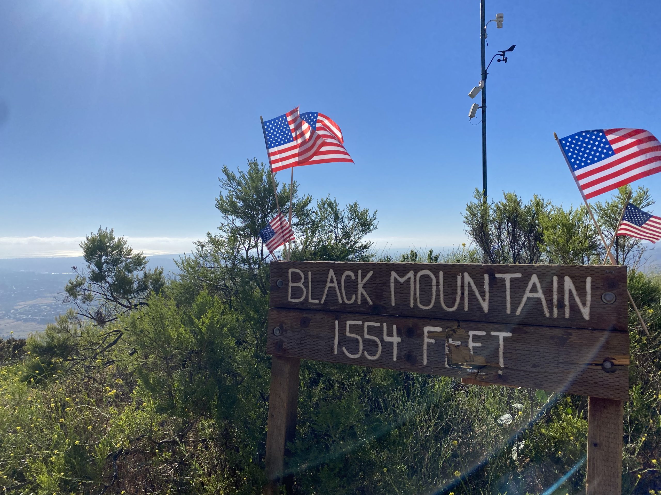
Black Mountain (via Miner’s Ridge Trail)

After taking a break for the 4th of July, I decided to test my foot with a bit more of a challenge—hiking Black Mountain. Since it was late afternoon, I opted to start from the Miner’s Ridge Trailhead. The trail would mostly be on the east side of the mountain, so I had some shadier sections to enjoy. I pulled into the empty parking lot, did some stretching, and then grabbed my gear. The trail starts off nice and mellow before beginning its climb toward the summit. The last time I did this route, I took a side trail, which I later discovered was closed, so I stayed on the main trail until it connected with the service road.

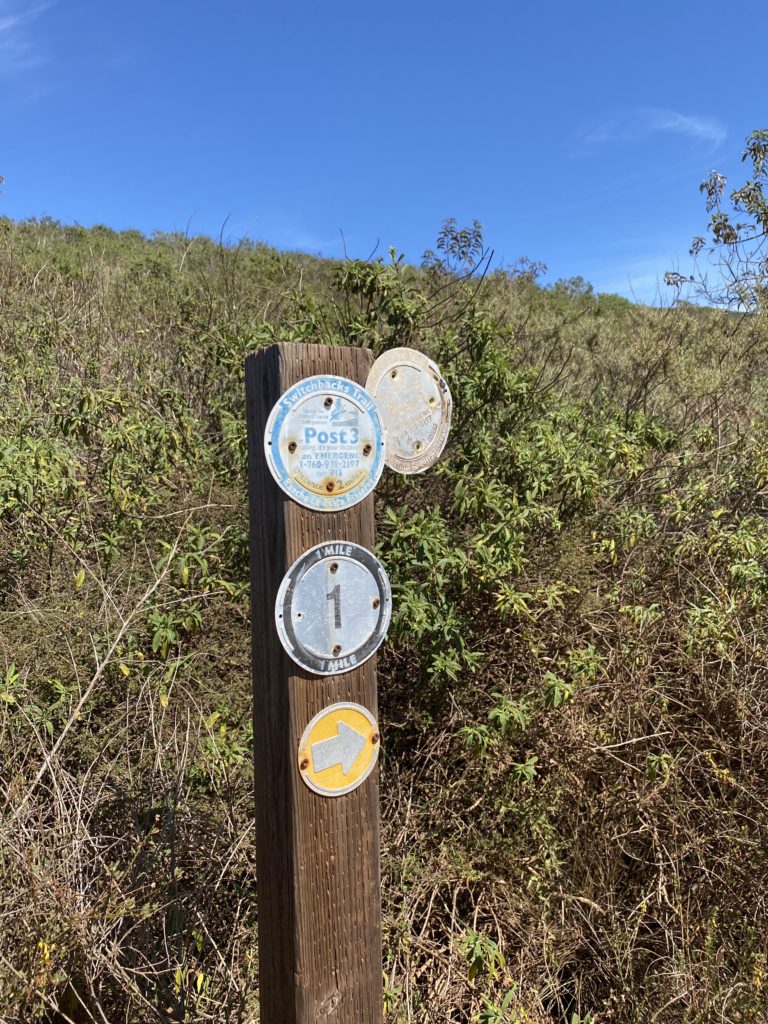
Some new emergency signage had been added along the way, and what caught my eye was they were using What Three Words (https://what3words.com/) to assist in the location finding. So far the foot was feeling ok as I made my way to the summit. Once there I felt good about the progress so far. A young couple sat together on one of the benches while a mountain biker sat alone on the other. I sat on the end, giving my foot a well-earned rest. He turned to me and asked, “So, how long did it take you to get up here, 30 minutes?” I decided to check my actual time, 2.2 miles in 1:03 (actually not too bad), and replied with my time, noting I started from the Miner’s Ridge Trailhead. Inside, I was like “WTF! 30 minutes? What fantasy land are you living in? Just shut up and go back to riding your e-bikes and leave us hikers alone”. He then decided he needed to play some tunes, so I took that as a cue to head back down.  I opted to try the steep trail that descends from the north and passes by the secondary summit. I had forgotten how steep it was. My foot also reminded me of this as I made my way down. 

I popped over to the top of the secondary summit before continuing down. Passing the trail I used last time, I continued until I reached the connector trail between the Glider Port and the Miner’s Ridge Trail. I tried to keep my pace a touch slower to be nicer to my foot, as I was feeling it a touch. Once back at the car, I spent some time stretching again before leaving. All told I hiked 3.5 miles in 1:58 with 779 feet of gain.

Update: My foot was feeling the effects of the effort, probably the descent, so I am giving it a couple of days of pampering before testing it again.


Buy Me a Coffee at ko-fi.com

I am an avid peak bagger, sometimes backpacker, and former sea kayaker living in San Diego. I co-authored Urban Trails: San Diego, available now!

In 2019, I became the third person to complete the San Diego 100 Peak Challenge. Not stopping with that accomplishment, I set my sights on the harder San Diego Sierra Club 100 Peak list, which I completed in 2021. I’ve also conquered several Six-Pack of Peaks challenges (SoCal, San Diego, Central Coast, and both the Arizona-Winter and Arizona-Summer).

I look forward to exploring new summits and adventures across the Southwest. 

Torrey Pines State Park Extension

I was able to convince Susie Kara to join me for a before-work hike, even though she had the day off. We settled on doing a loop through the Torrey Pines State Park Extension. Neither one of us had hiked it in a few years, so it was time to visit it again. As I got to the Gully Trailhead, the parking area was blocked off, probably due to the construction underway at the school next to it. Thankfully there was some street parking and it was early. I got some pre-hike stretching in, something I need to be more mindful of before she pulled up behind me. We decided to do the Red Roost loop first, to warm up our legs and technically hit the high point. It had been a while since we hiked together, so we had some catching up to do.

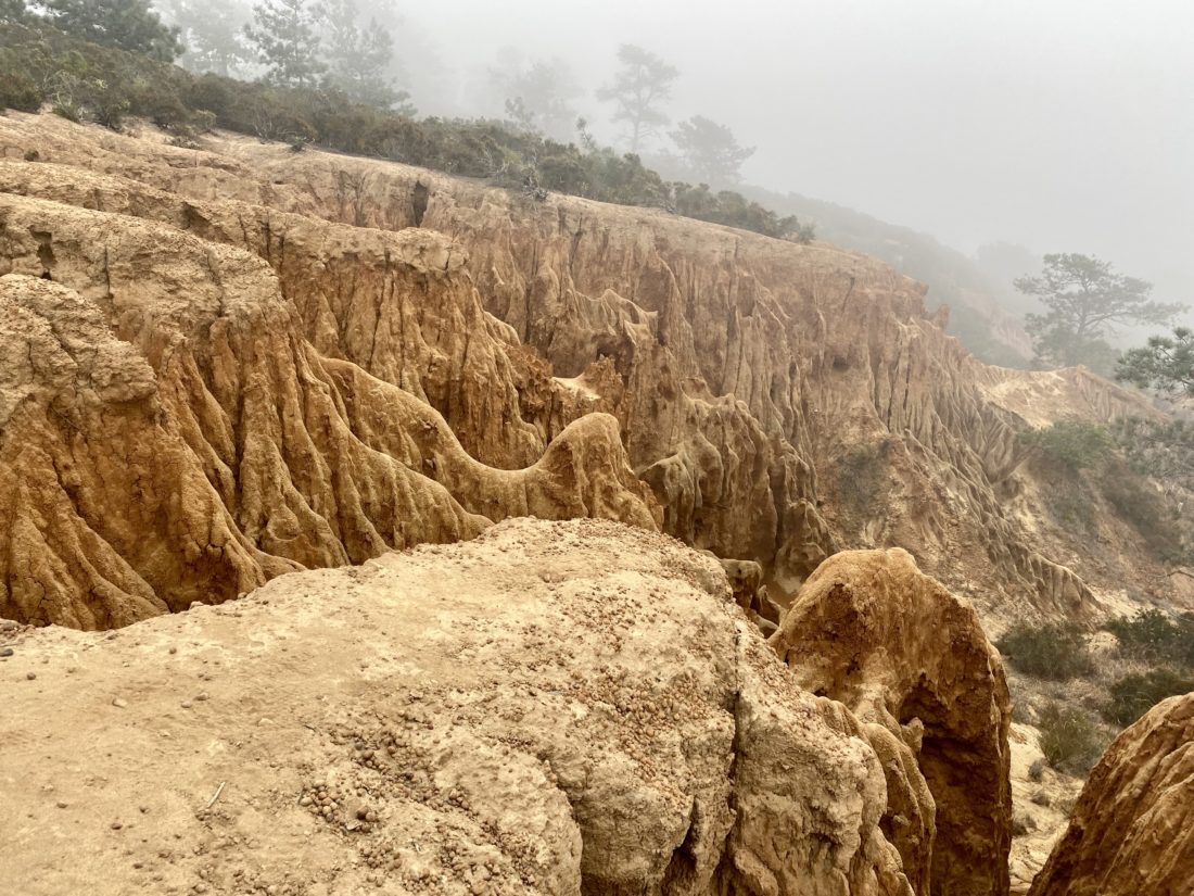
After the loop, we took the Gully Trail down. The low clouds made the hike a bit on the damp side, and the middle section of this trail was a tad overgrown.

Once we reached the gully, we turned north and began making our way up. From there, we turned to the west to make the short climb to the West Ridge overlook. With the low marine layer, not much of a view was to be had. We retraced our route, passing only the second person thus far. Our next stop was the D.A.R. Trail, which seemed appropriate given it was the day before July 4th. 

From there we continued northward until we reached the city streets and worked our way back to our cars. We said our goodbyes, as I had a work call in ten minutes. All in all, another good test of the foot at just about 3 miles of hiking.


Buy Me a Coffee at ko-fi.com

I am an avid peak bagger, sometimes backpacker, and former sea kayaker living in San Diego. I co-authored Urban Trails: San Diego, available now!

In 2019, I became the third person to complete the San Diego 100 Peak Challenge. Not stopping with that accomplishment, I set my sights on the harder San Diego Sierra Club 100 Peak list, which I completed in 2021. I’ve also conquered several Six-Pack of Peaks challenges (SoCal, San Diego, Central Coast, and both the Arizona-Winter and Arizona-Summer).

I look forward to exploring new summits and adventures across the Southwest. 

Santee Lakes

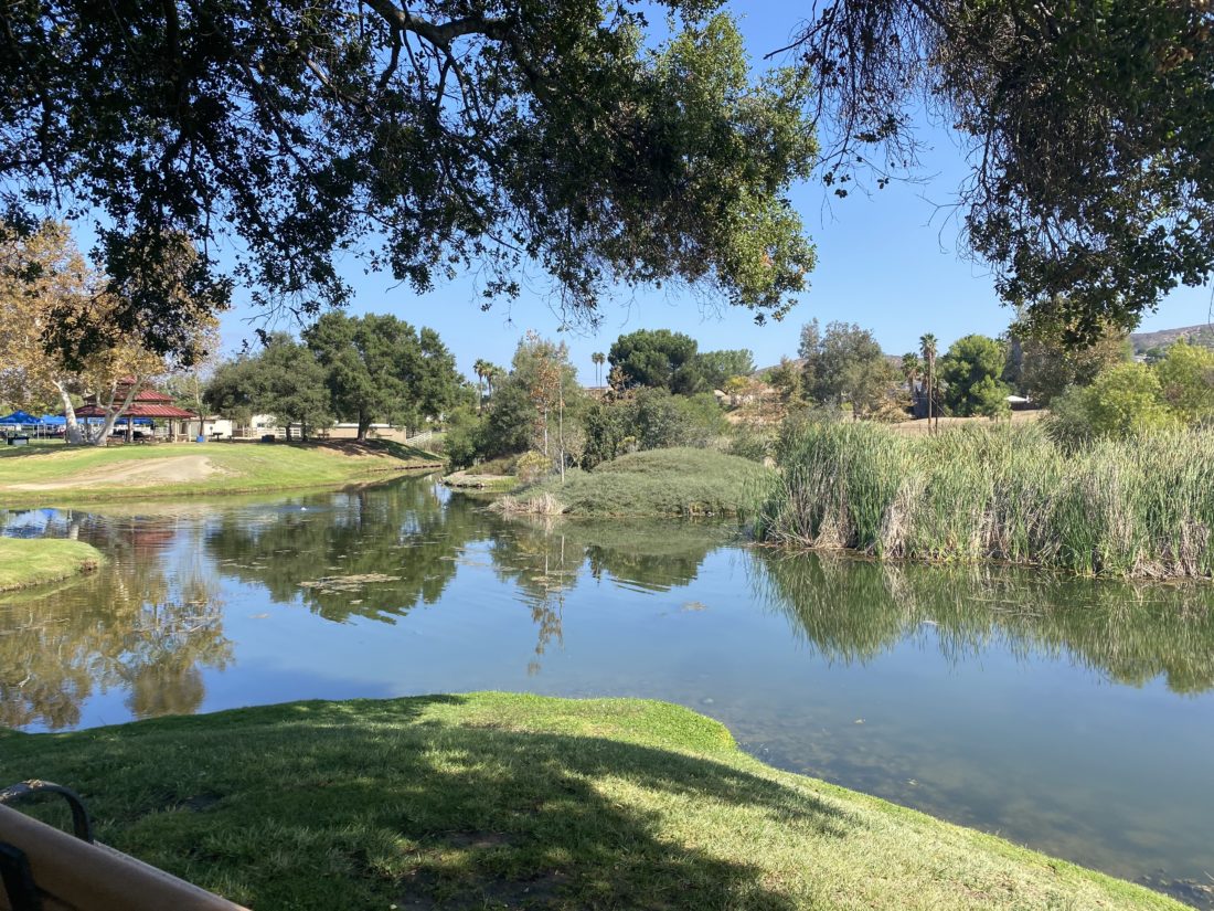
As I continue to take it easy as I rehab my foot, I went looking for a short, but flat hike. I realized I had never explored Santee Lakes, and a stroll around them would fit my requirements perfectly. We found street parking and took the stairs down into the park. If you want to drive into the park formally, the city of Santee does charge a small fee. As soon as we reached the lake shore, a few geese were milling about.

We decided to follow the shoreline in a counter-clockwise manner. Along the grassy shoreline, we passed quite a few folks trying their luck at catching the catfish that swim in these waters. And judging by a few anglers, they seem to have some good success.

Picnic areas also dot the shoreline, and we passed folks celebrating a child’s first birthday, a corporate party, and a baby shower. The east side of the shore has quite a few trees along it, providing some nice shade. As we neared the camping area of Santee Lakes, we opted to take the path to the west side of the lakes and head back toward our car.

We followed the sidewalk as it worked its way along the western shores. Soon we reached the path that divided Lake 1 and Lake 2 and back to our starting point. I can see why this is a popular spot for folks to get their walking time in. Our stroll covered just over 2 miles in about 46 minutes, just the right distance for the foot.

Annie’s Canyon (via San Elijo Lagoon)

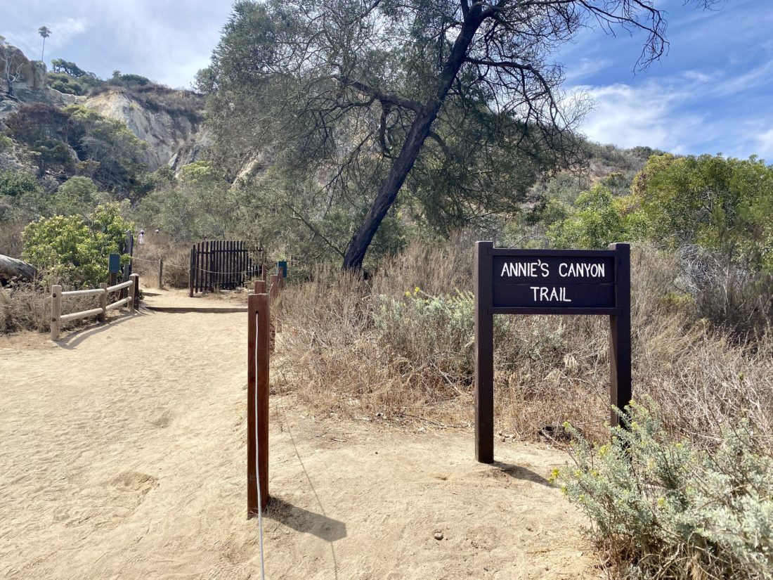
Was looking for another easy hike to test my foot’s recovery and remembered I had not hiked the new connector bridge under the I-5. Since the main lot was full, we parked across the street at the water district. We strolled along the wide path toward the freeway. Partway, a trail left the main path and took us closer to the lagoon for a while. Once back on the main path, we were almost at the bridge. Slung under the I-5, this nice wide bridge spans the lagoon and offers some nice views. We followed the trail to the right to continue on toward Annie’s Canyon. To our south we could see the trail continuing up and over the hill toward Solana Beach. Thankfully our destination was before that climb. A side trail took us off the paved section and toward the junction with the Annie’s Canyon trail.

Being a Sunday I knew this hike would be crowded. Anita, Ben and Rocky decided to relax on some logs under the shade of some eucalyptus  trees, while I opted to go explore the canyon.

I worked my way up through the narrow sandstone canyon until I reached a queue waiting to make their way through the narrowest of sections where the ladder is. After it was my turn, I enjoyed the view from the viewpoint before taking the switchbacks back to that lagoon’s edge. If you don’t feel like tackling the canyon or ladders, you can take this section of trail to enjoy the view. Just note, you cannot descend the ladder or exit through the canyon. Once back together we retraced our route then headed off to Seaside Market for some lunch.


Buy Me a Coffee at ko-fi.com

I am an avid peak bagger, sometimes backpacker, and former sea kayaker living in San Diego. I co-authored Urban Trails: San Diego, available now!

In 2019, I became the third person to complete the San Diego 100 Peak Challenge. Not stopping with that accomplishment, I set my sights on the harder San Diego Sierra Club 100 Peak list, which I completed in 2021. I’ve also conquered several Six-Pack of Peaks challenges (SoCal, San Diego, Central Coast, and both the Arizona-Winter and Arizona-Summer).

I look forward to exploring new summits and adventures across the Southwest. 

North McCoy Trail

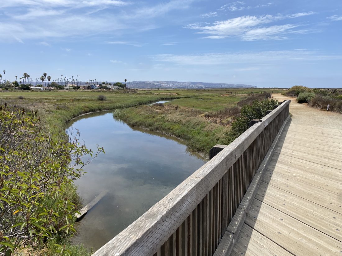
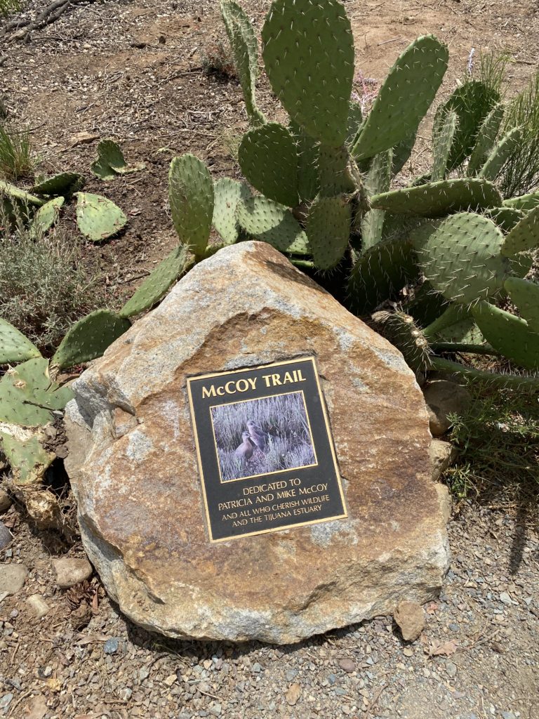
Since I am still recovering from a bout of plantar fasciitis, we opted to try a nice short stroll along the McCoy Trail in the Tijuana Estuary. A few cars were parked in the parking lot when we arrived. We strolled over to the visitor center, but the ranger had stepped away for a few minutes, so we decided to just head out along the trail. The trail runs southward until it reaches one of the main channels of the estuary. A couple of benches line the trail, perfect for those who want to take a moment and enjoy the wildlife.

We returned to the visitor center, which was now open, and explored their exhibits for a bit. Then we again continued our tradition of heading into Imperial Beach for some fish tacos at Coronado Brewery.


Buy Me a Coffee at ko-fi.com

I am an avid peak bagger, sometimes backpacker, and former sea kayaker living in San Diego. I co-authored Urban Trails: San Diego, available now!

In 2019, I became the third person to complete the San Diego 100 Peak Challenge. Not stopping with that accomplishment, I set my sights on the harder San Diego Sierra Club 100 Peak list, which I completed in 2021. I’ve also conquered several Six-Pack of Peaks challenges (SoCal, San Diego, Central Coast, and both the Arizona-Winter and Arizona-Summer).

I look forward to exploring new summits and adventures across the Southwest. 

Border Field State Park

We parked in the small parking lot and headed down Monument Road. After about 2/10 mile, the road turns south toward the border. You can continue straight along the Beach Trail, but we stayed on the road. The road then turned west again. Off in the distance, we could see our eventual destination, Friendship Park. The park has been closed for some time due in part to Covid and other factors.

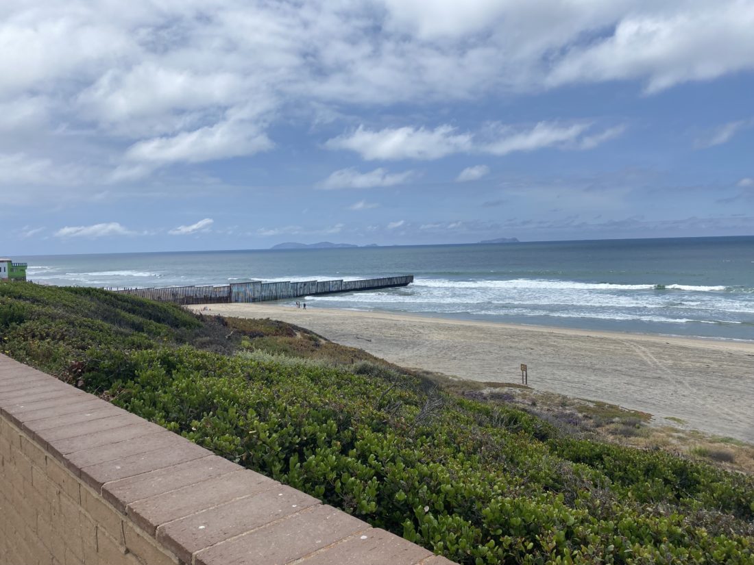
After a short climb up the small plateau, we had reached the very southwestern corner of the United States. The border wall loomed to our south and continued into the actual ocean. But around us were shaded picnic tables, interpretive signs, and good views across southern San Diego. After taking in the views, we retraced our route back to the car and then headed into Imperial Beach for some fish tacos at Coronado Brewery.

Be mindful that due to the low elevation of the park, the park is sometimes closed to flash floods, especially in winter.


Buy Me a Coffee at ko-fi.com

I am an avid peak bagger, sometimes backpacker, and former sea kayaker living in San Diego. I co-authored Urban Trails: San Diego, available now!

In 2019, I became the third person to complete the San Diego 100 Peak Challenge. Not stopping with that accomplishment, I set my sights on the harder San Diego Sierra Club 100 Peak list, which I completed in 2021. I’ve also conquered several Six-Pack of Peaks challenges (SoCal, San Diego, Central Coast, and both the Arizona-Winter and Arizona-Summer).

I look forward to exploring new summits and adventures across the Southwest. 

Santa Fe Valley Trail

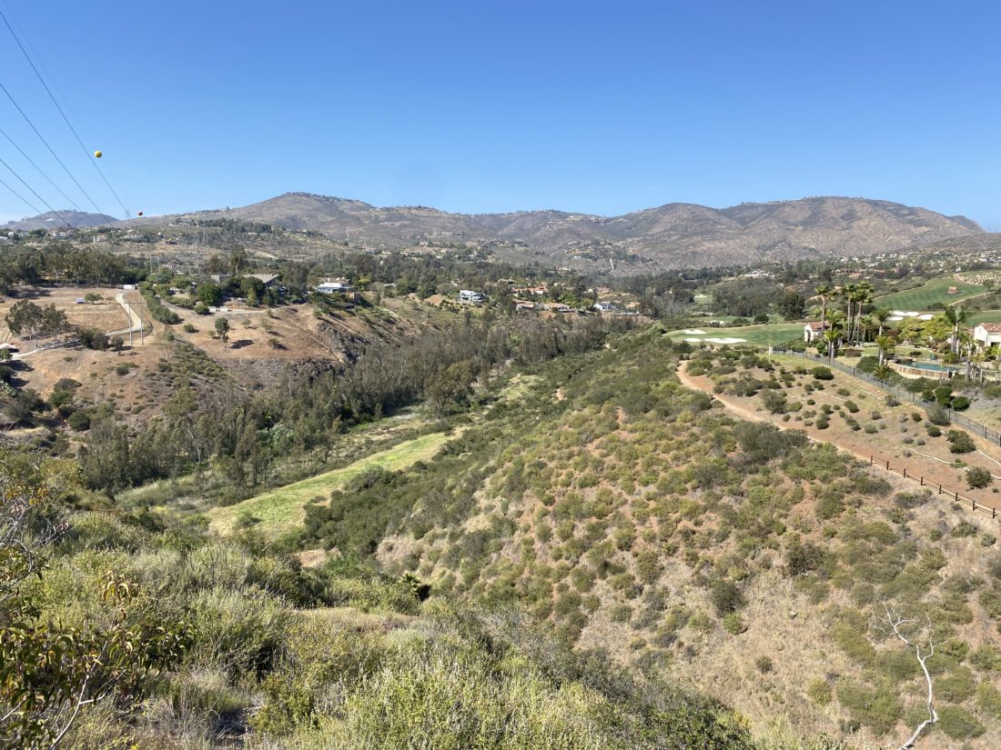
Decided to hike the Santa Fe Valley Trail once again. I hiked this trail as part of the Coast To Crest Challenge a number of years back. This time I was hiking it as part of the Sierra Club North County Group’s 50th Anniversary 50 Hike Challenge. As I drove down toward the parking area, two deer darted into the nearby brush. Was not expecting to see them in the mid-afternoon. 

The trailhead is shared by both the Santa Fe Trail and Del Dios Gorge Trail. I headed toward the west and onto the Santa Fe Trail. For much of the trail, it is nice and flat, I was cruising along, crossing the numerous small bridges along the way. After about 1.4 miles, the trail will begin a short climb. Thankfully, the switchbacks help ease the climb. It drops back down some, before making another climb up toward the ‘end’ of the trail. I snapped my required photo and retraced my route.


Buy Me a Coffee at ko-fi.com

I am an avid peak bagger, sometimes backpacker, and former sea kayaker living in San Diego. I co-authored Urban Trails: San Diego, available now!

In 2019, I became the third person to complete the San Diego 100 Peak Challenge. Not stopping with that accomplishment, I set my sights on the harder San Diego Sierra Club 100 Peak list, which I completed in 2021. I’ve also conquered several Six-Pack of Peaks challenges (SoCal, San Diego, Central Coast, and both the Arizona-Winter and Arizona-Summer).

I look forward to exploring new summits and adventures across the Southwest. 

Denk Tank Mountain

The North County group of the Sierra Club is celebrating its 50 anniversary.  As part of that celebration, they are hosting a 50 Hike Challenge. I decided to work on this list as my backup hikes or my mid-week hikes. Yesterday was such a day. Denk Mountain is just a few minutes from work, and even on my way home. I parked near the trailhead and laced up my boots, grabbed my poles, and set off.

While it was sunny, the temperatures were not too warm as I quickly made my way up the trail. There is quite a network of trails across this mountain, so you do need to take some care at junctions to stay on the route you want to take to the summit.

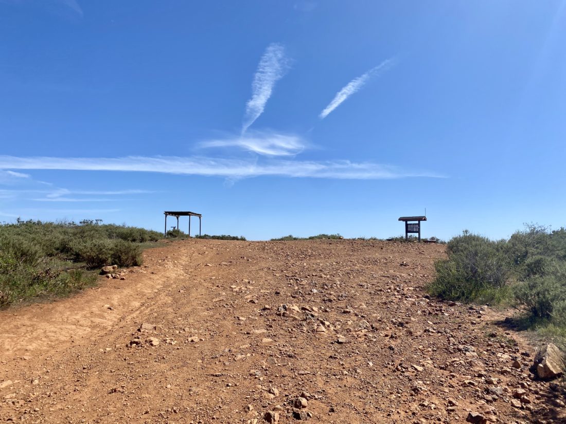
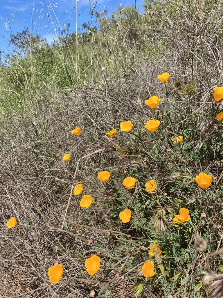
At the summit, I snapped a few photos, including the one for the challenge, and headed back down. There were a few flowers dotting the sides of the trail. Judging by the tracks on the trail and the repair stand at the summit, it is safe to assume this area is favored by mountain bikers, so make sure you keep an ear and an eye out for them when you hike it. The hike was 2.8 miles in 1:07 with 663 feet of gain.


Buy Me a Coffee at ko-fi.com

I am an avid peak bagger, sometimes backpacker, and former sea kayaker living in San Diego. I co-authored Urban Trails: San Diego, available now!

In 2019, I became the third person to complete the San Diego 100 Peak Challenge. Not stopping with that accomplishment, I set my sights on the harder San Diego Sierra Club 100 Peak list, which I completed in 2021. I’ve also conquered several Six-Pack of Peaks challenges (SoCal, San Diego, Central Coast, and both the Arizona-Winter and Arizona-Summer).

I look forward to exploring new summits and adventures across the Southwest. 
Coastal Trail

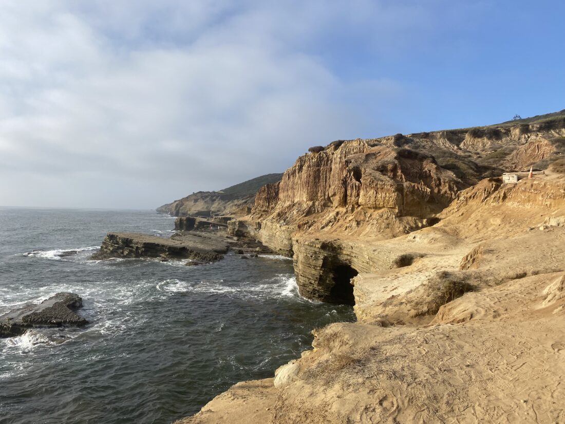
The Coastal Trail or Tidepools Trail, runs along the seaside of Cabrillo National Monument. The trail is a 1.1-mile point-to-point meander along the sandstone bluffs above the Pacific Ocean. At the south parking lot, there are toilets, and at times park rangers or volunteers staffing an informational table. This is the only trail at the National Monument that allows dogs. Usually, we can find a parking spot in the south parking lot, which is closer to where you can access the tide pools during low tide, otherwise continue driving down the road to use one of the two other parking areas at the north end of the trail.

The trail works its way along the bluffs, so except for the one tidepool access area, getting to the ocean isn’t possible. You will have some small rises to climb up and over, but most should be able to manage them without issue. There is a nice tidepool to explore when the water is right. With the opening of the Oceanside Trail, you can now safely hike down from the Old Lighthouse to this trail, making for a more worthy adventure.


Buy Me a Coffee at ko-fi.com

I am an avid peak bagger, sometimes backpacker, and former sea kayaker living in San Diego. I co-authored Urban Trails: San Diego, available now!

In 2019, I became the third person to complete the San Diego 100 Peak Challenge. Not stopping with that accomplishment, I set my sights on the harder San Diego Sierra Club 100 Peak list, which I completed in 2021. I’ve also conquered several Six-Pack of Peaks challenges (SoCal, San Diego, Central Coast, and both the Arizona-Winter and Arizona-Summer).

I look forward to exploring new summits and adventures across the Southwest.