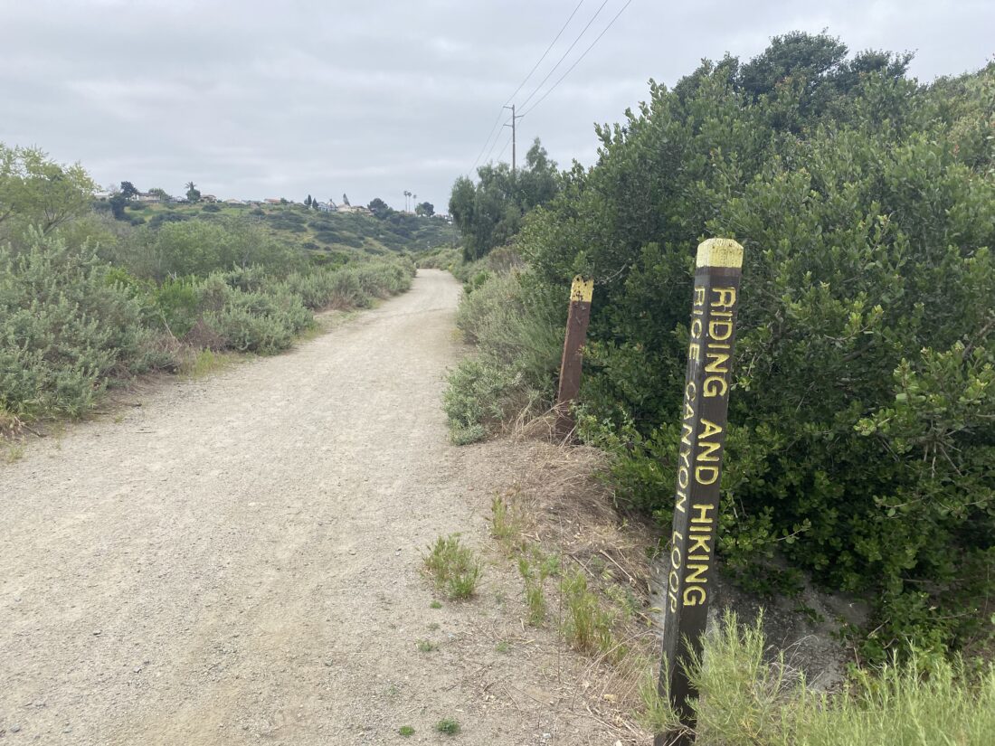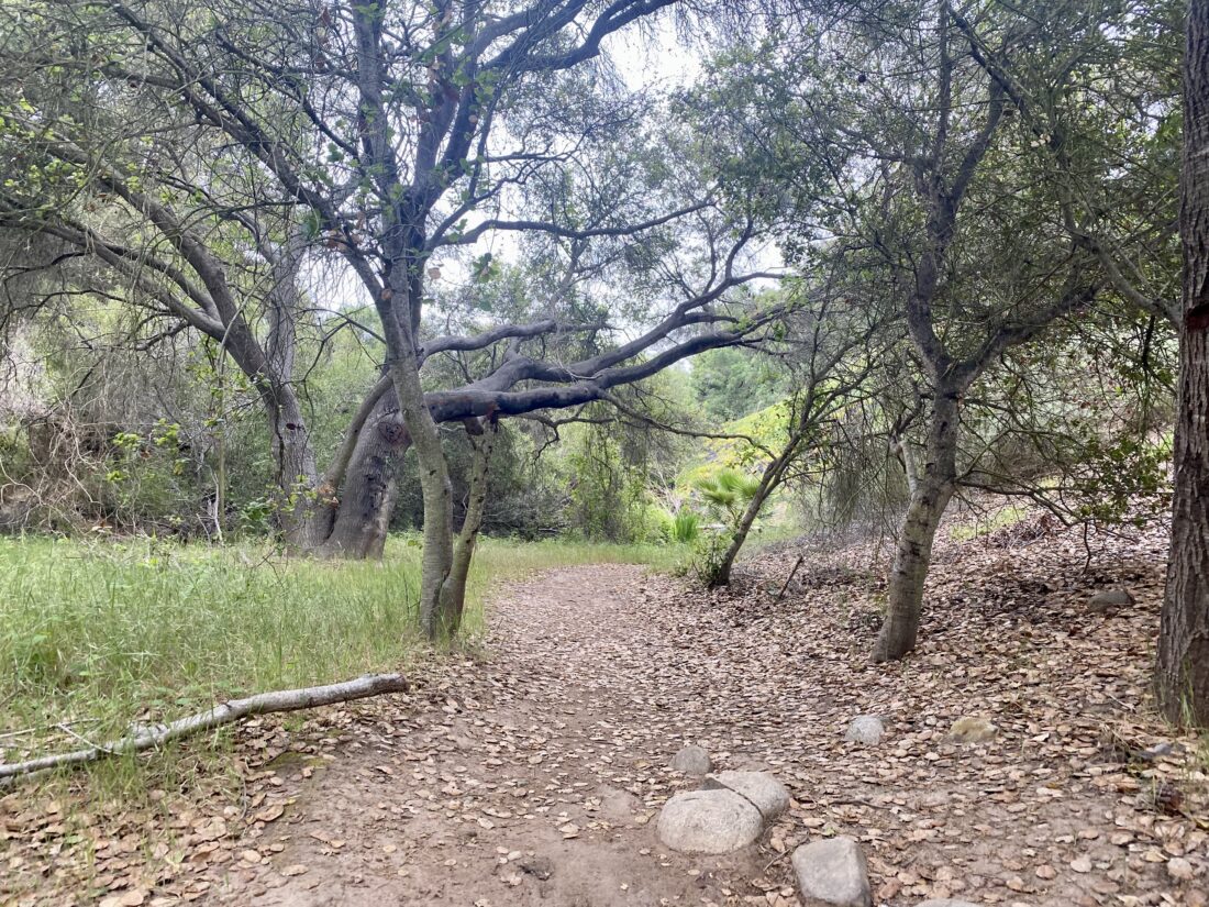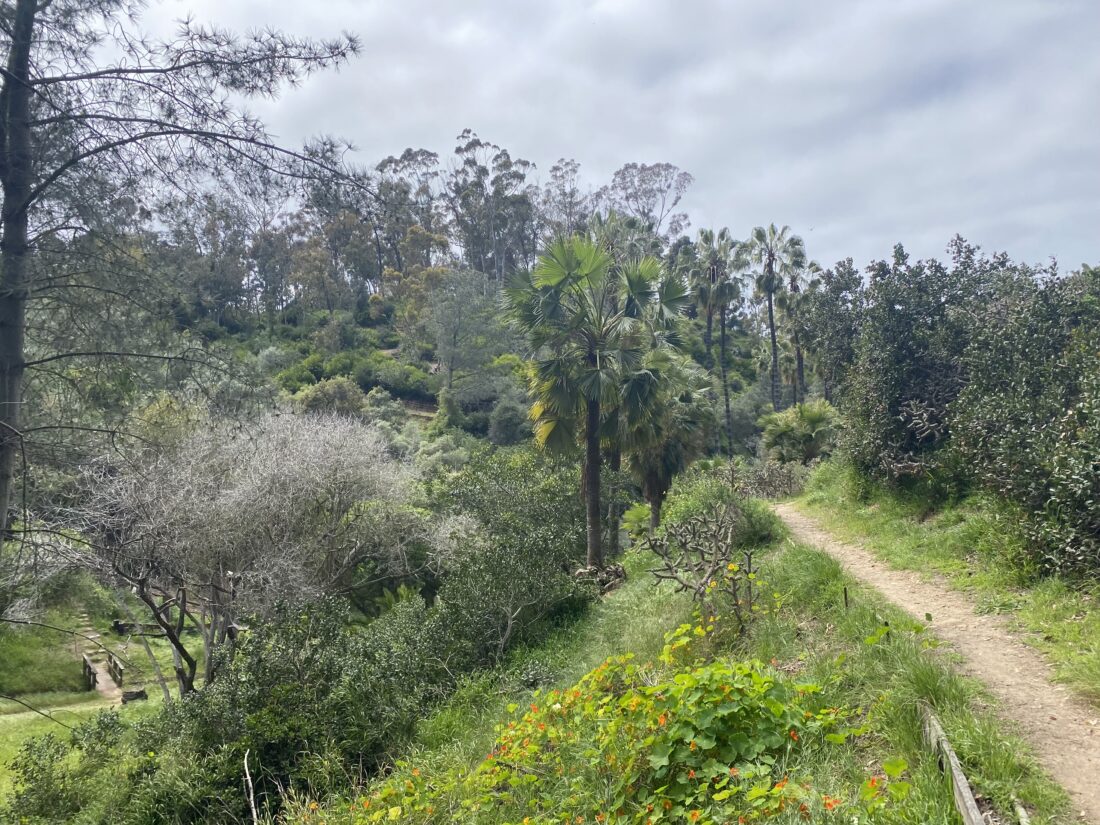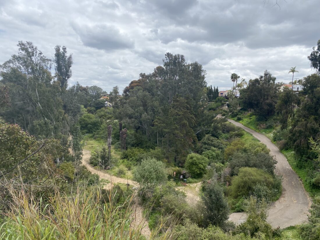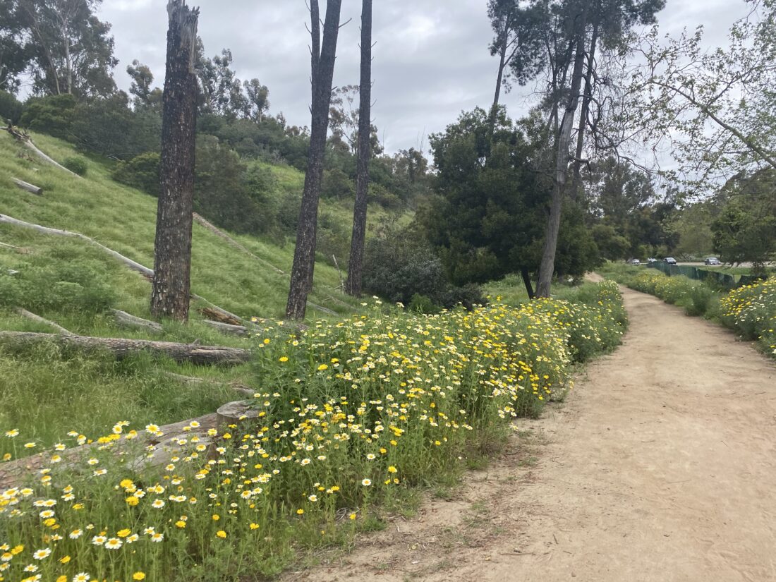
The parking lot was half-filled, mostly with mountain bikers, judging by the bike mounts on the cars. We took the trailhead out from the east end of the parking lot, passing by some nice riparian growth. The trail quickly came to a T junction with one fork heading toward PQ Canyon and the waterfall, and the other into Lopez Canyon. We took the Lopez Canyon trail. The trail crossed over the dry Lopez Creek and then hugged the steep side of the canyon. We followed the old road for a while until we reached another junction. The right fork led out of the canyon, while the other stayed in the canyon. There were signs of habitat restoration underway as we stayed in the canyon


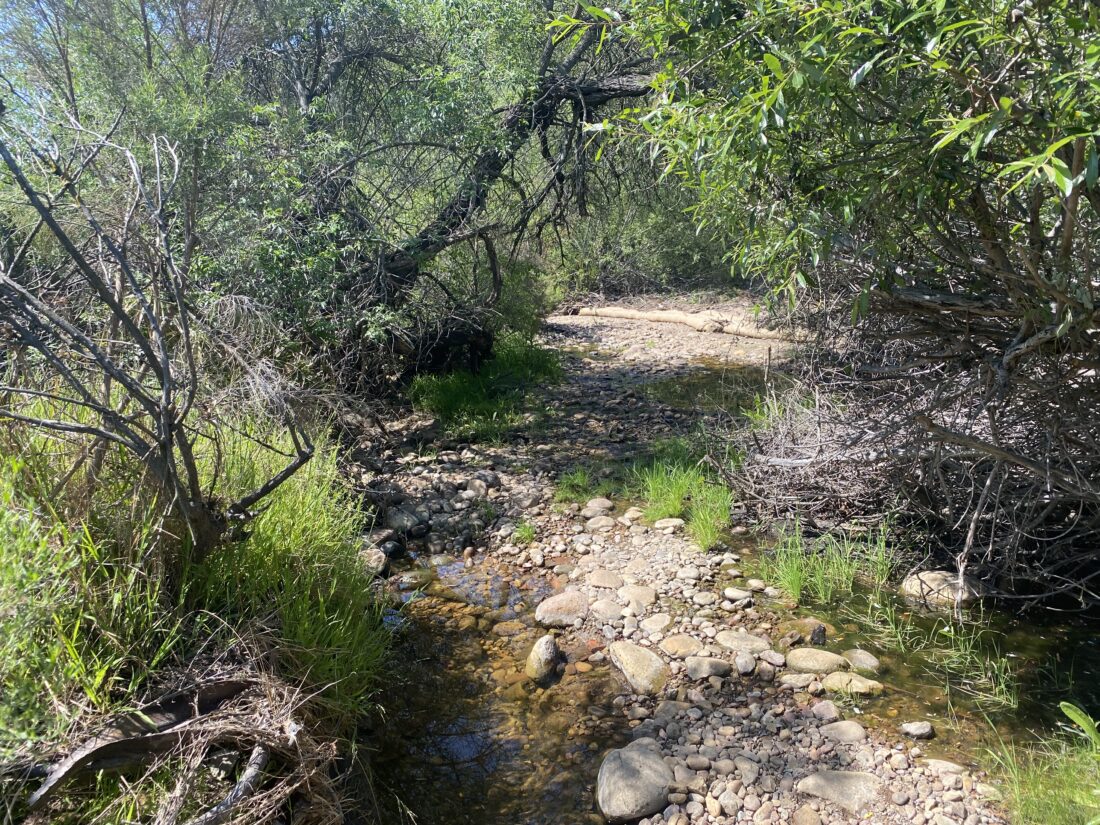
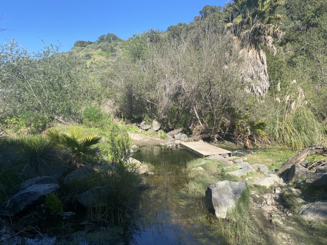
We crossed the dry creek a few more times until we reached the point where the trail faded into the stream bed. Anita and Rocky stopped here, and I pushed on for the last 1/4 mile or so to the bridge. I did spot a few ticks on my legs, which I quickly removed. The trail thankfully left the stream bed and I took a single-track trail toward the bridge. Once I was close enough, I retraced my route and rejoined Anita and Rocky. Our return was uneventful, passing two other hikers enjoying the trail. Once home, we plucked several more ticks off all of us. Ugh!


I am an avid peak bagger, sometimes backpacker, and former sea kayaker living in San Diego. In 2019, I became the third person to complete the San Diego 100 Peak Challenge. Not stopping with that accomplishment, I set my sights on the harder San Diego Sierra Club 100 Peak list, which I completed in 2021. In addition, I have conquered several Six-Pack of Peaks challenges (SoCal, San Diego, Central Coast, and Arizona-Winter). Beyond attempting the San Diego Sierra Club 100 Peak list a second time, I am looking forward to exploring new summits and new adventures across the southwest.