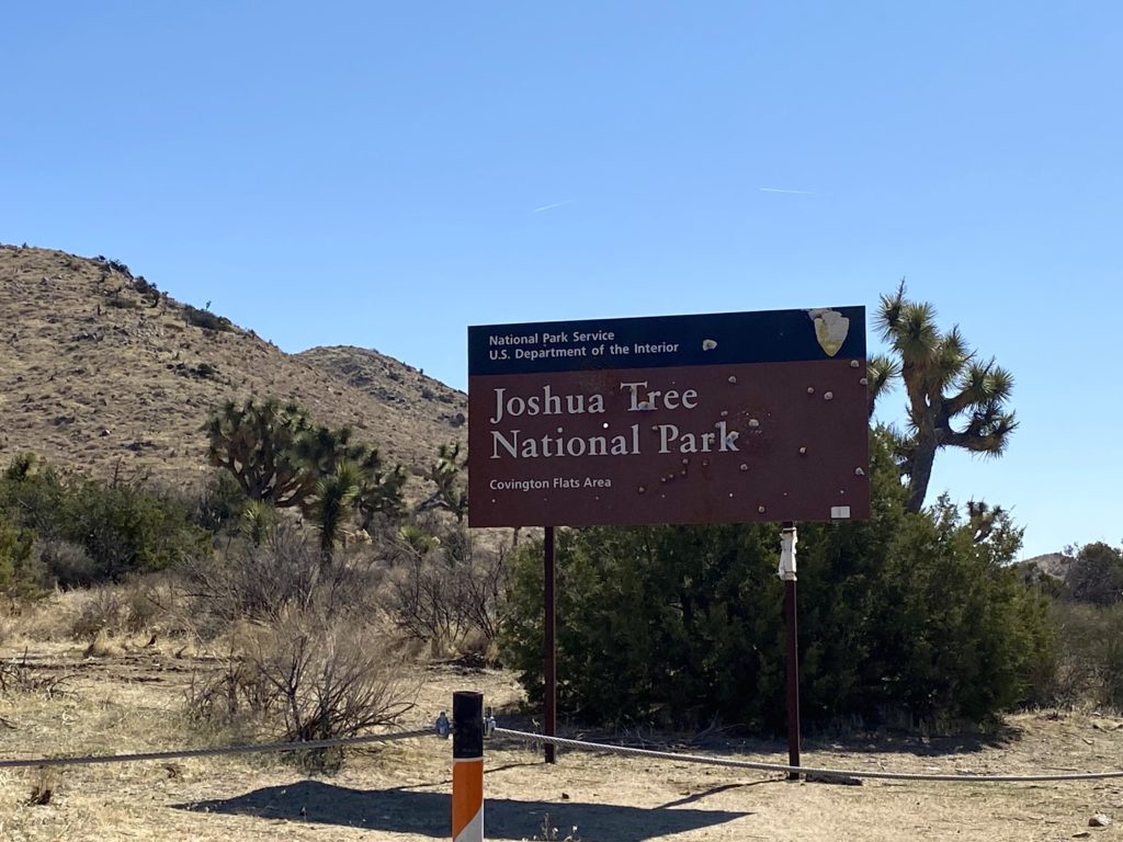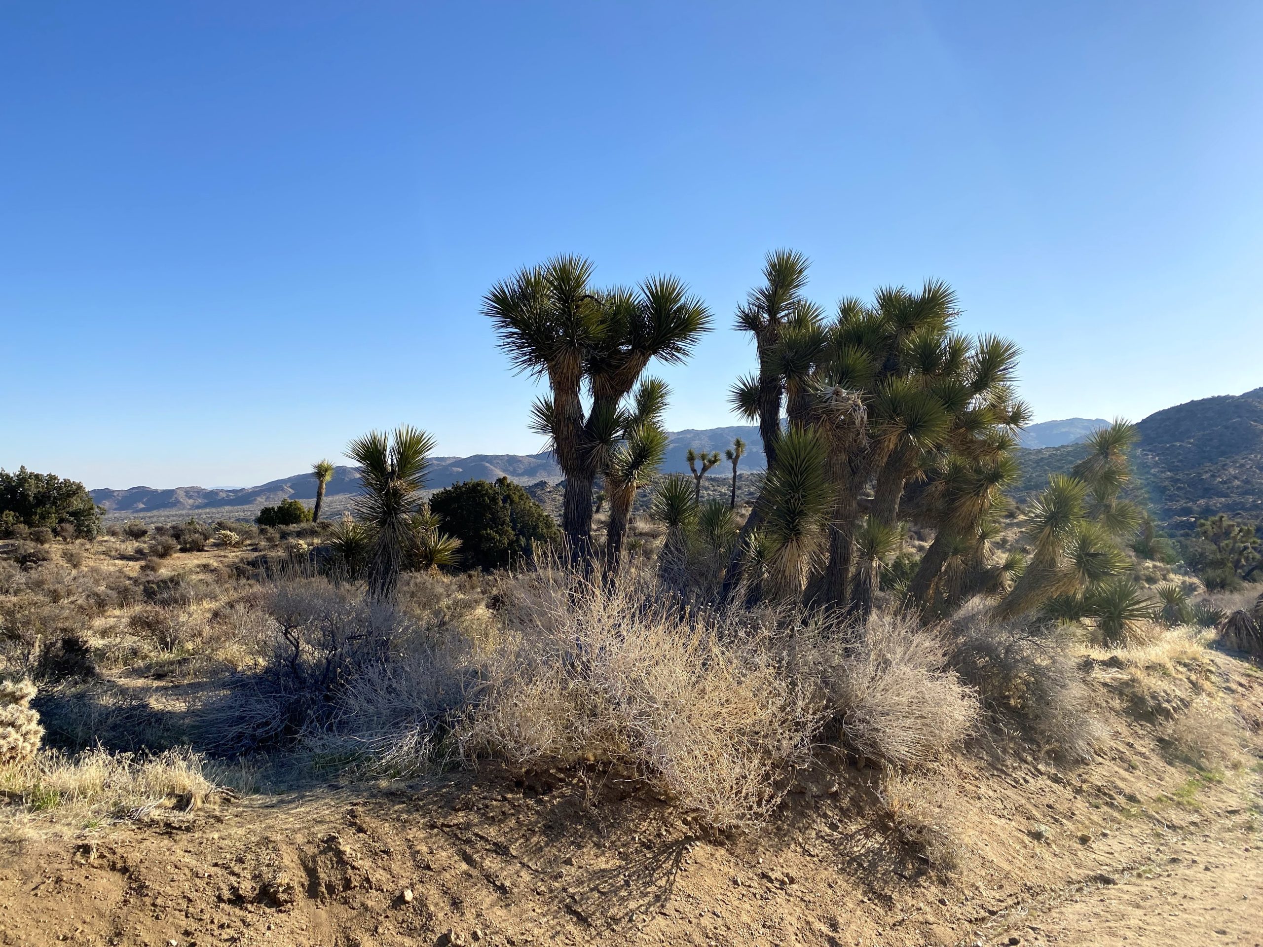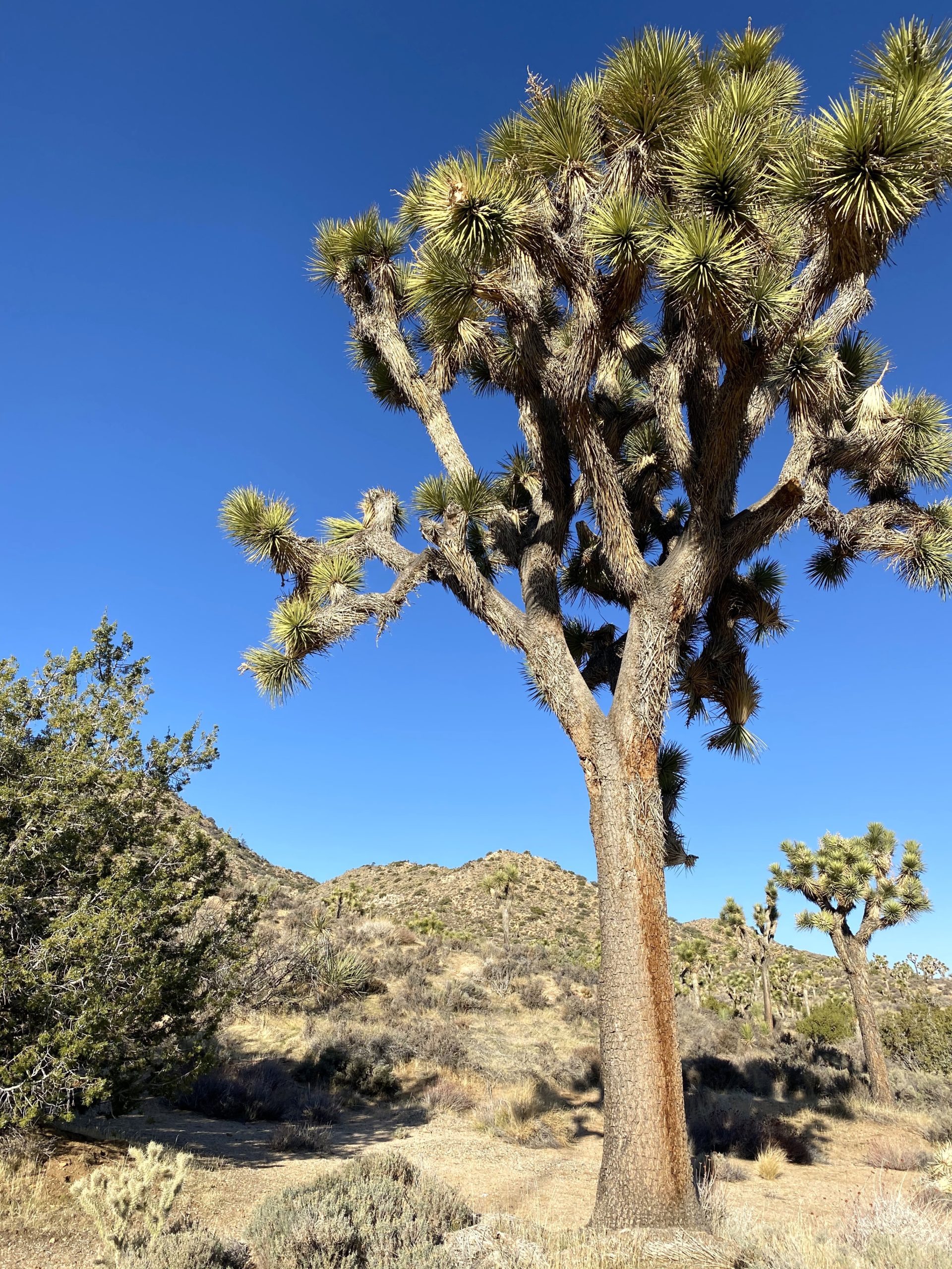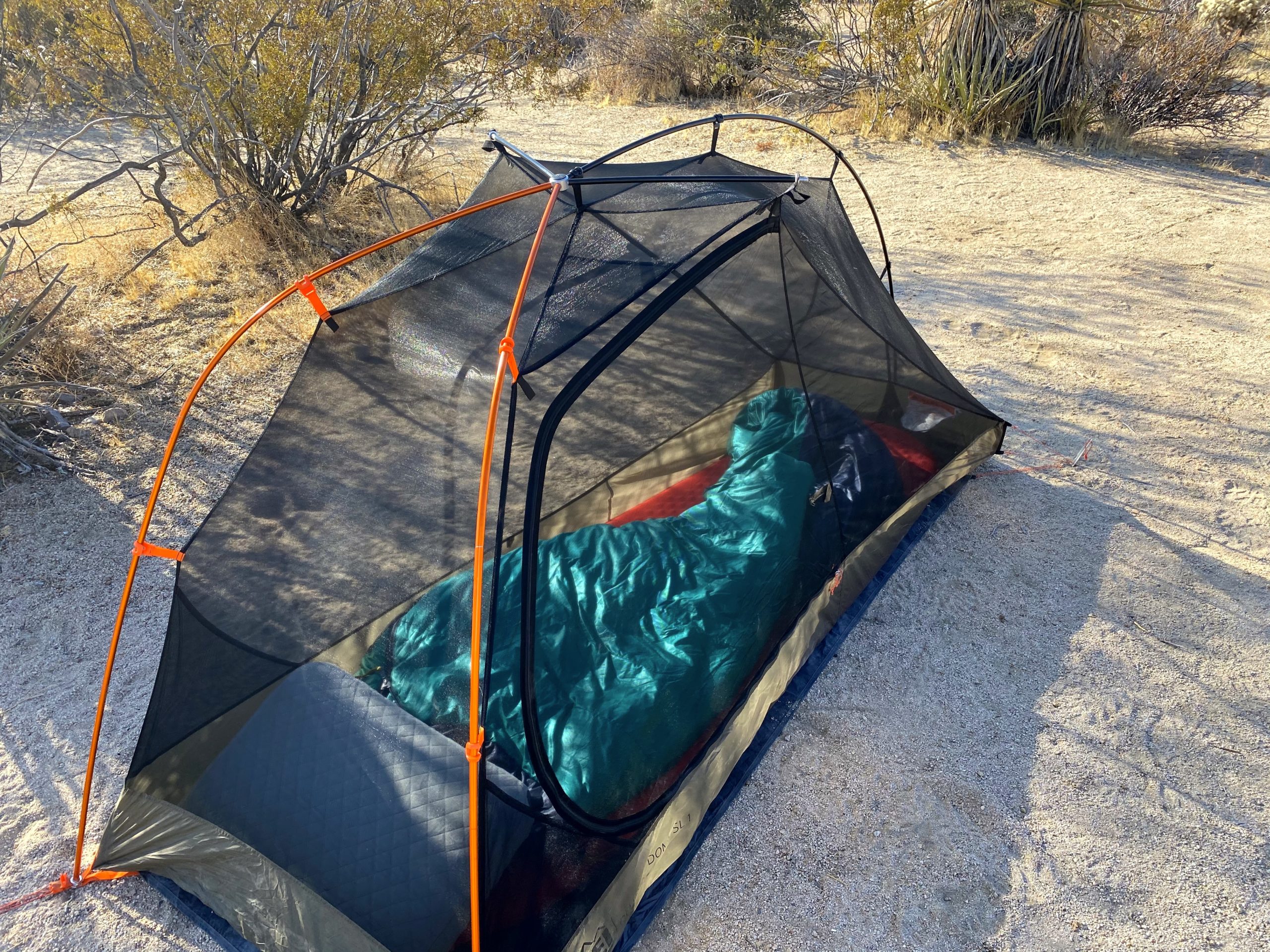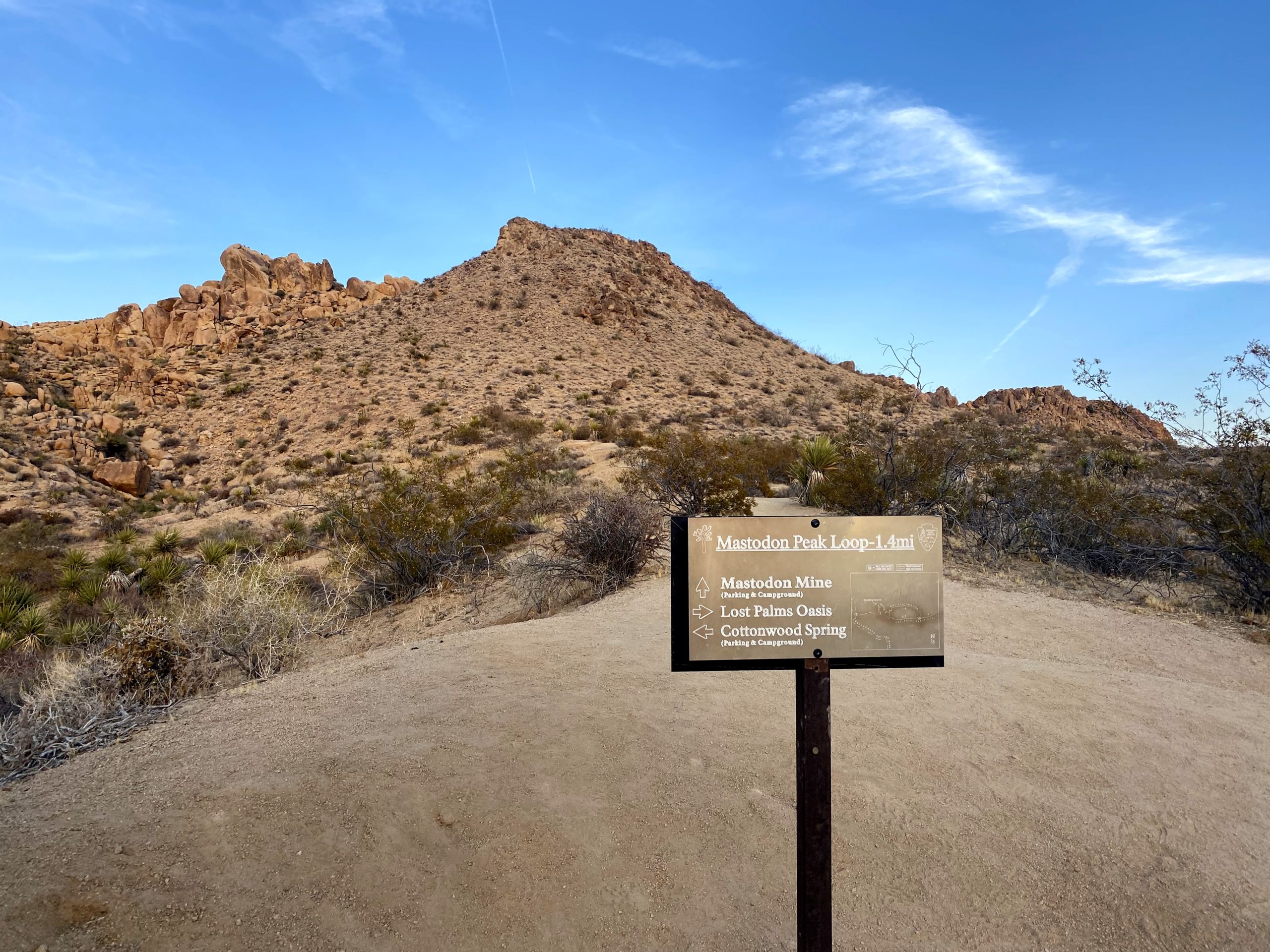
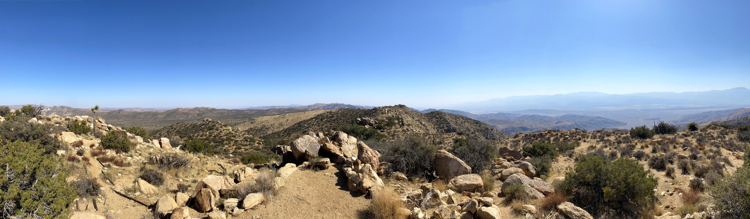
After grabbing lunch, it was time to enter the park proper to summit my third peak of the day, Mount Inspiration. As I sat in the slow-moving line of cars to enter, I enjoyed my burrito. Once in the park, I drove on toward Keys View. Along the way, I passed full parking lots and tons of people enjoying the park. I hoped to find a spot in the parking lot once I got there. One advantage of this destination is that most do not stay that long, so I should not have to wait long for a spot to open. Thankfully, just as I pulled up, a spot opened and I grabbed it. I had tried to do the peak a couple of times before, but was never able to work out the logistics.
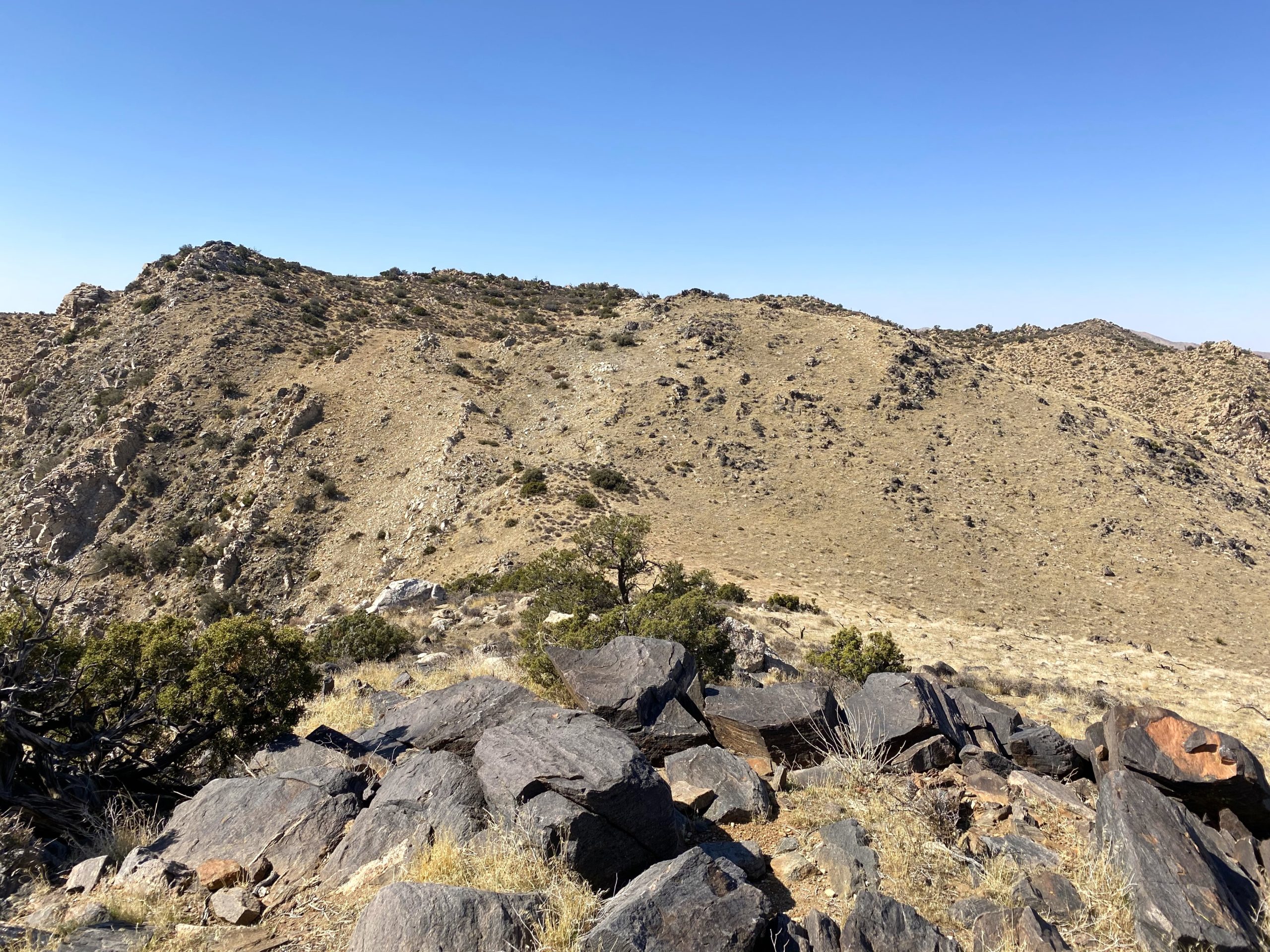
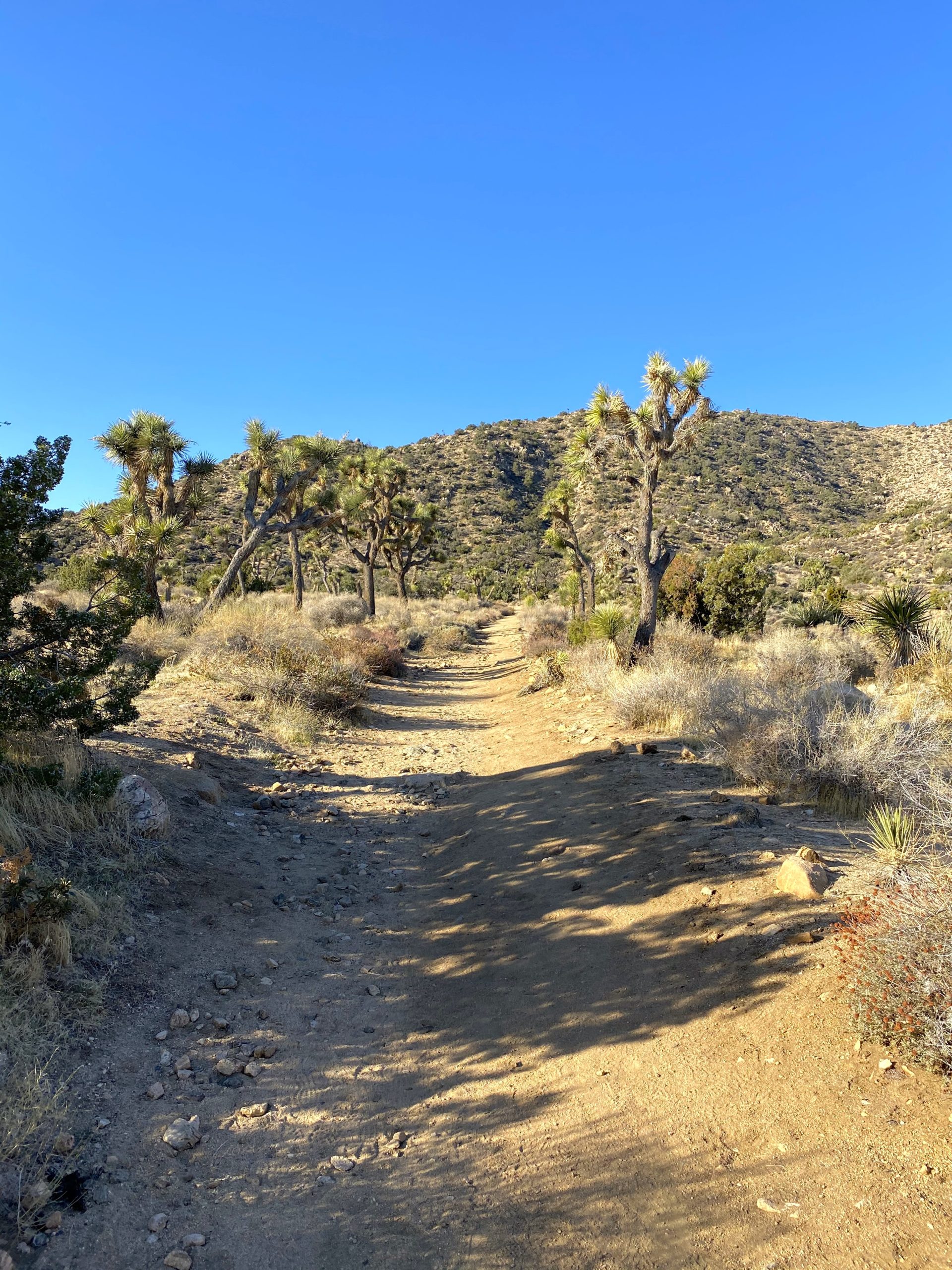
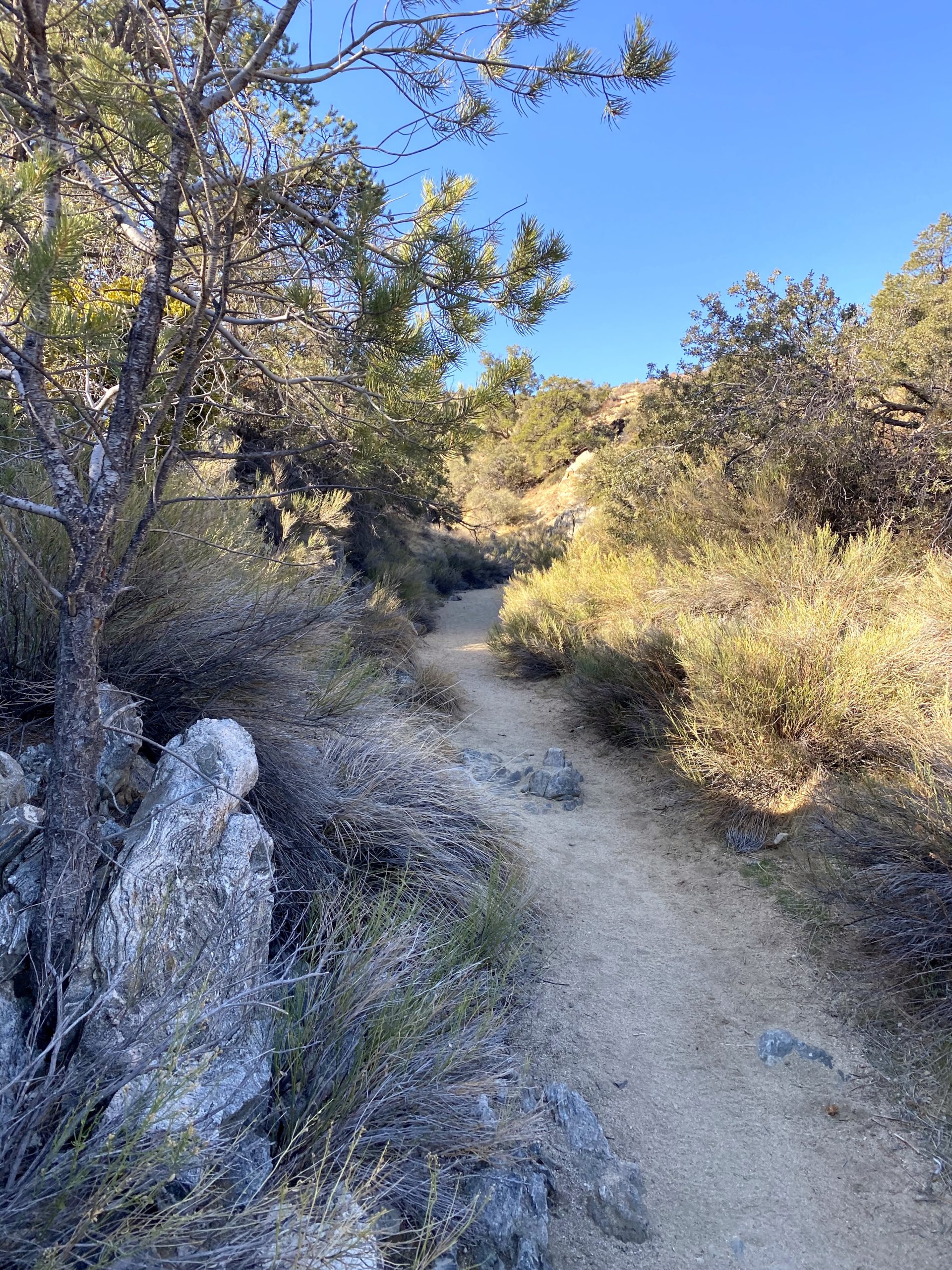
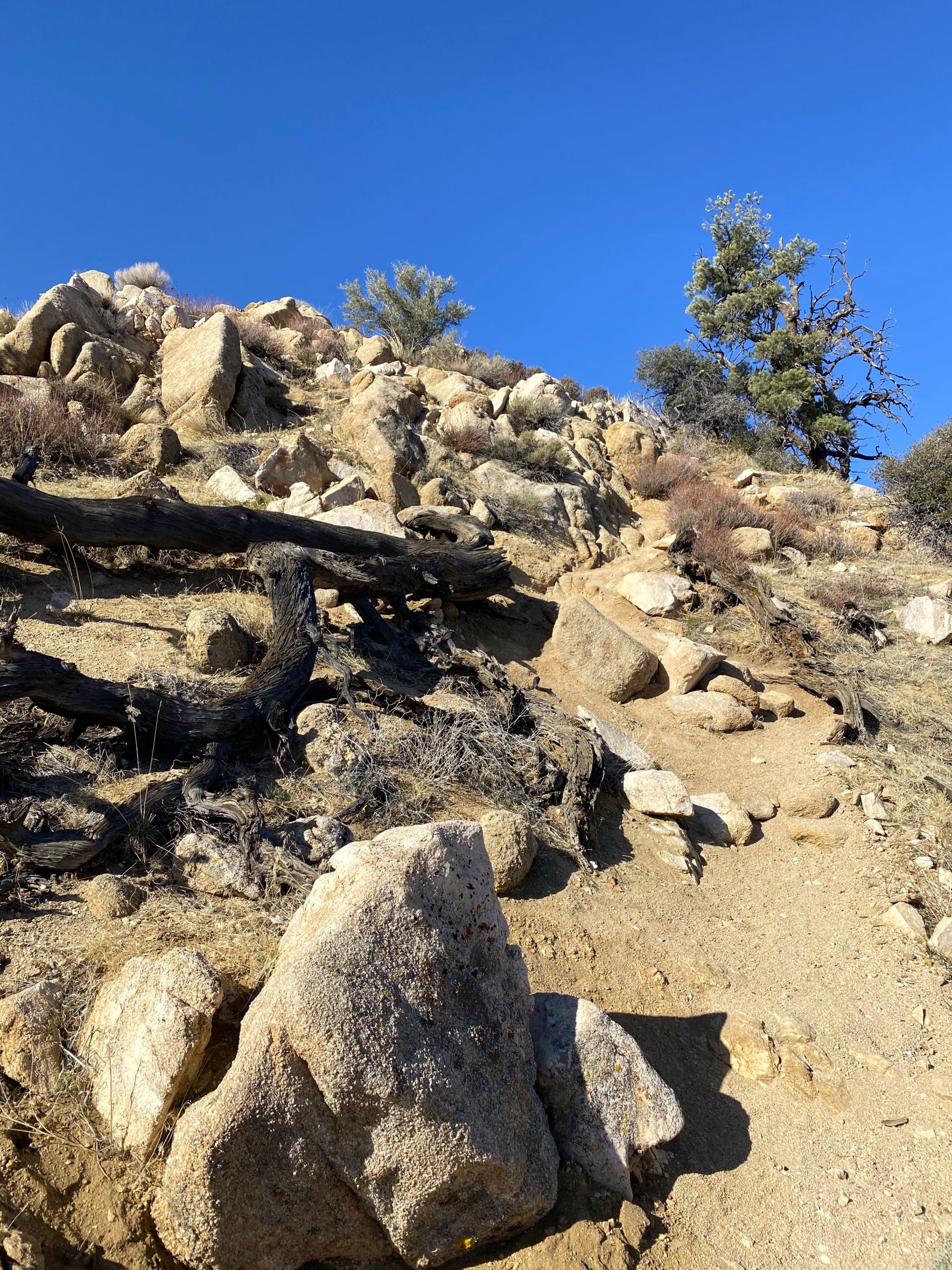
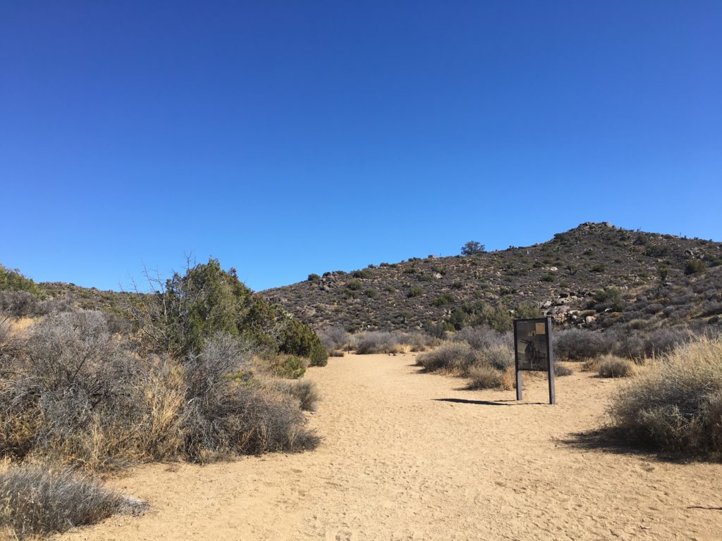
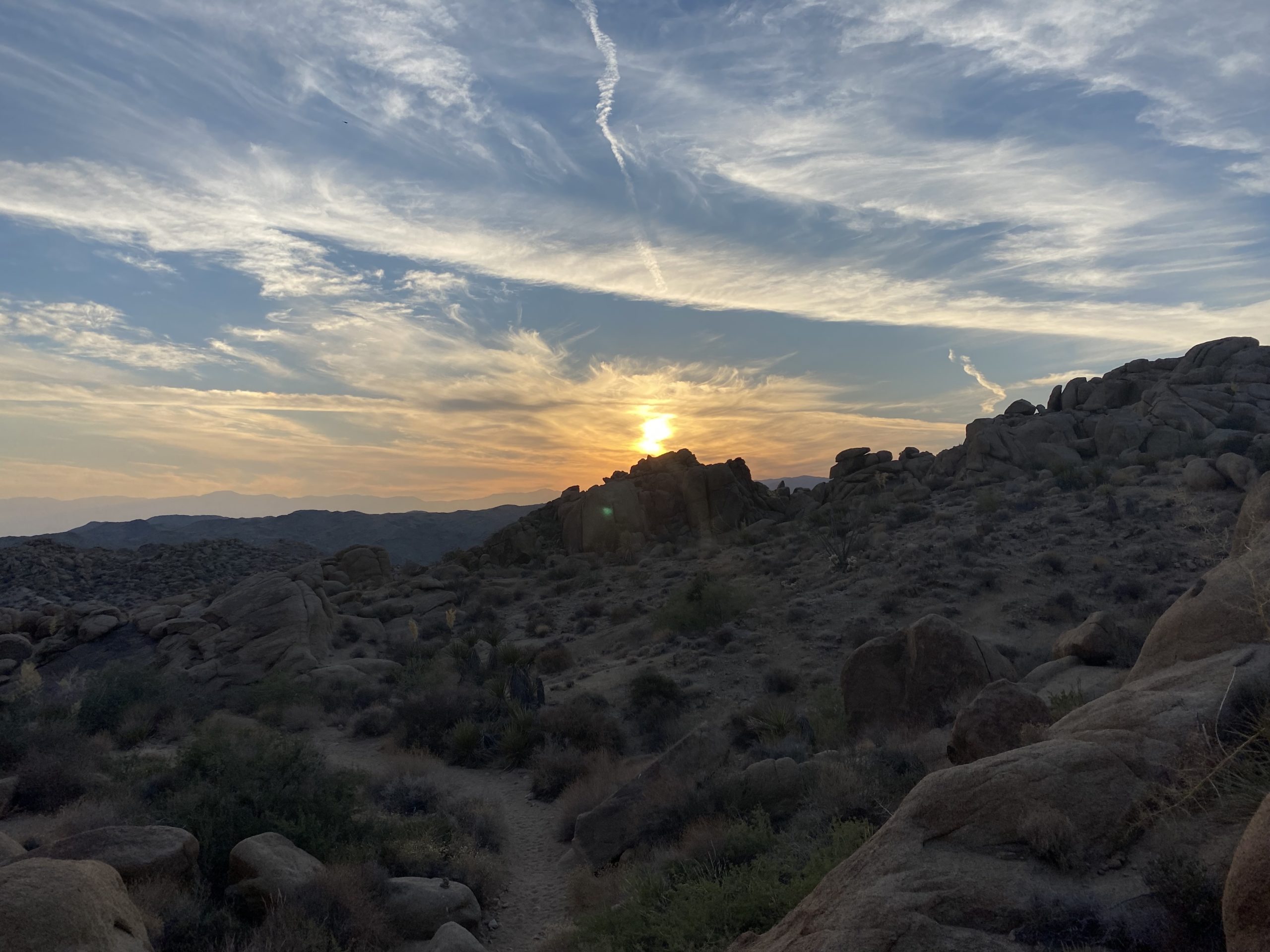
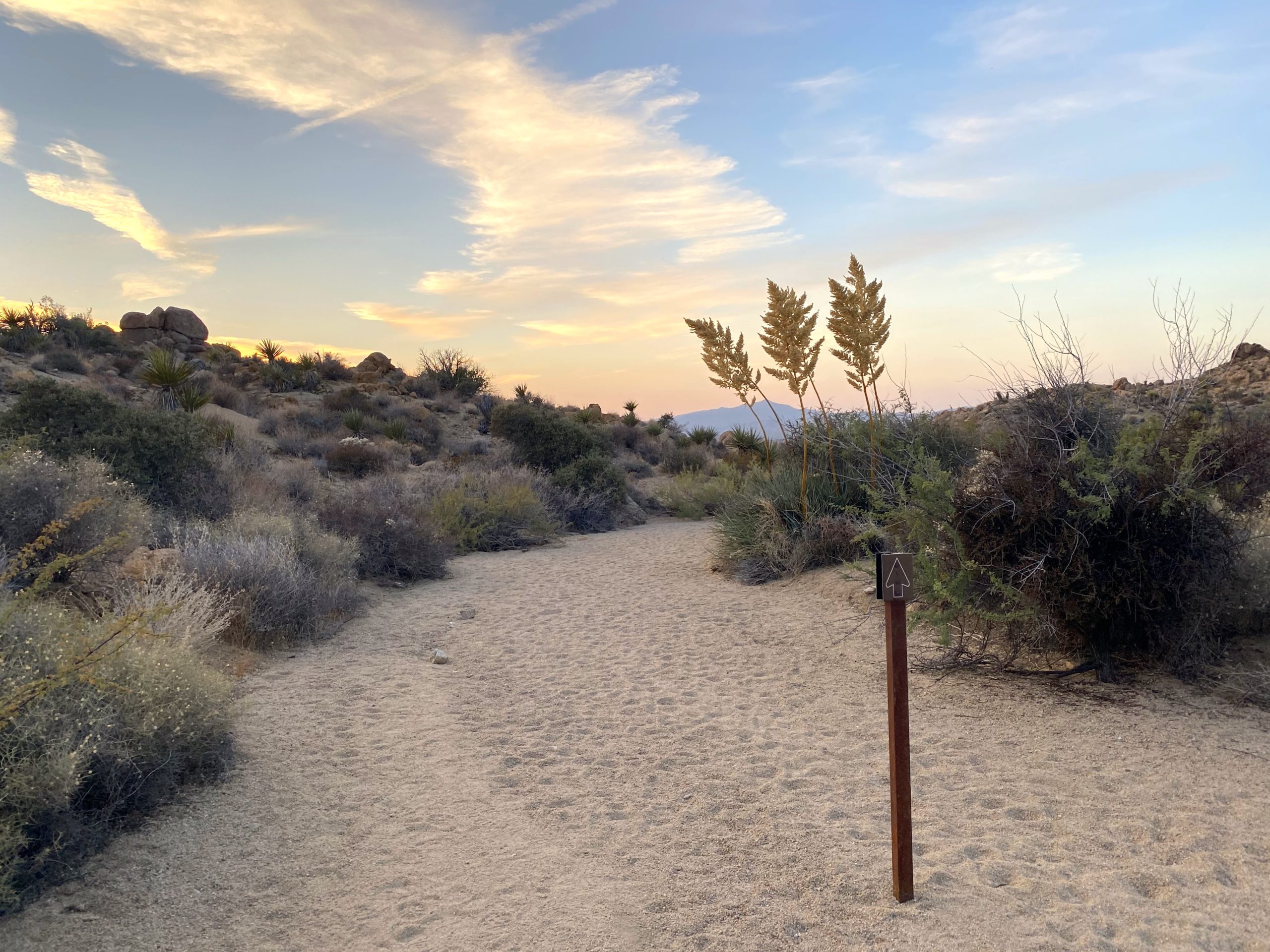
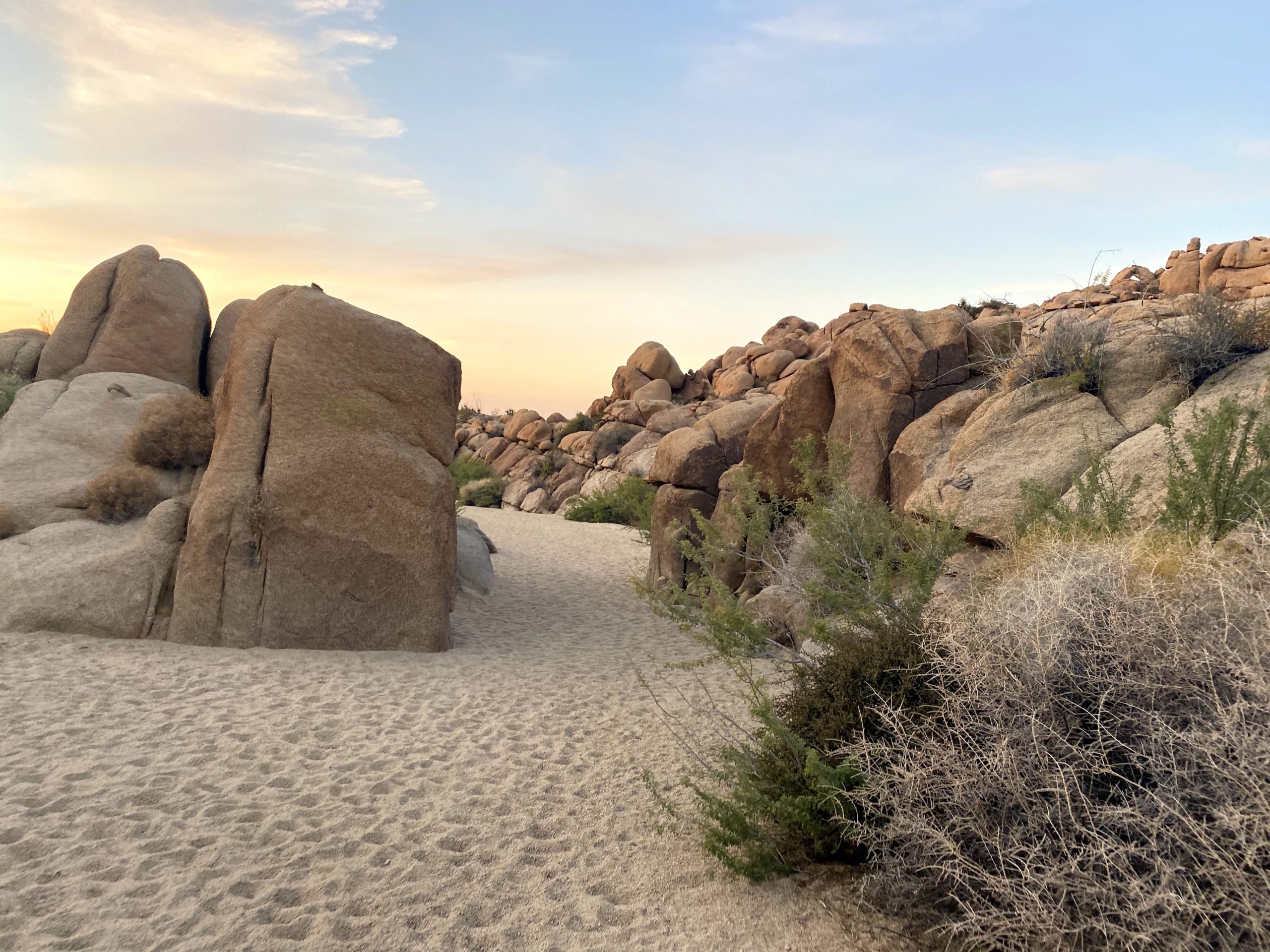
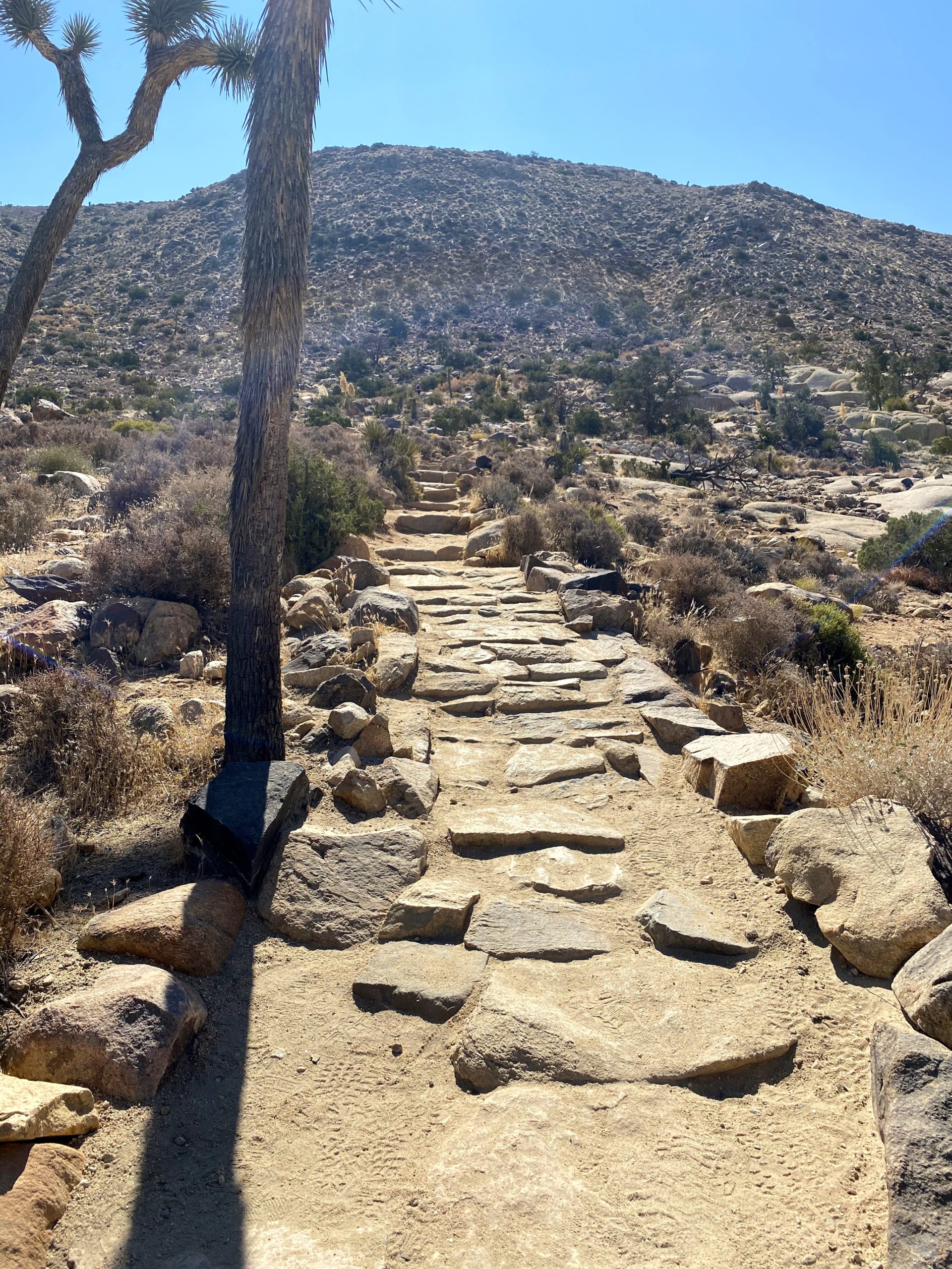
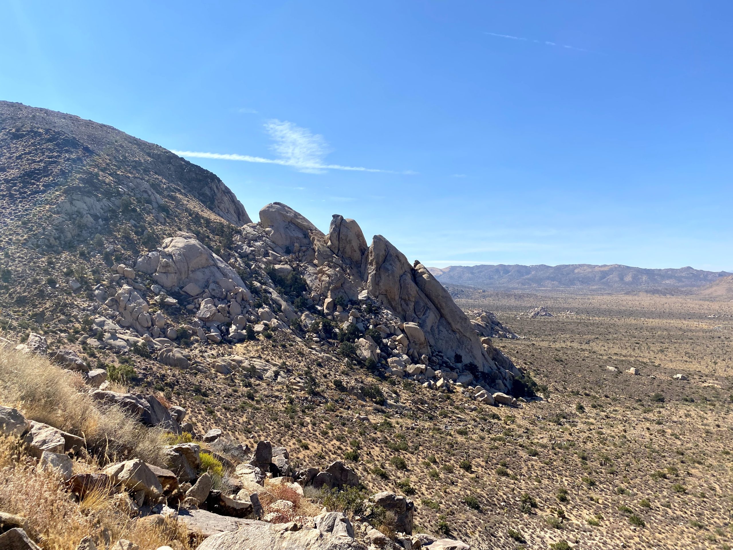
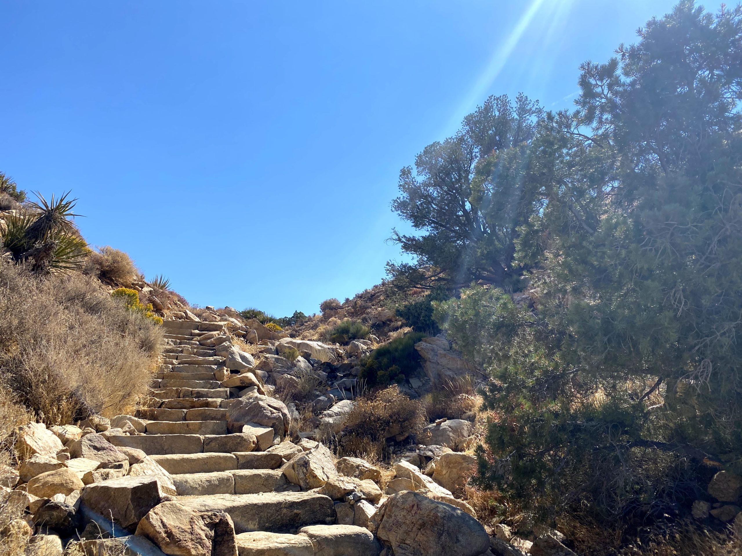
The trail begins at the northwest corner of the parking lot. I could see a few folks atop the first section of the trail enjoying the views. I worked my way up the trail with no trouble. Once I was at the top I could see the use trail continuing off to the northwest. It dropped down to a small saddle before working its way up toward South Mount Inspiration. Here I met two hikers returning from the summit. They were also working on the Sierra Club Hundred Peaks Section (HPS) list. One of them had about 70 done! We chatted a bit before parting ways, and I noted a section they mentioned gave them trouble.
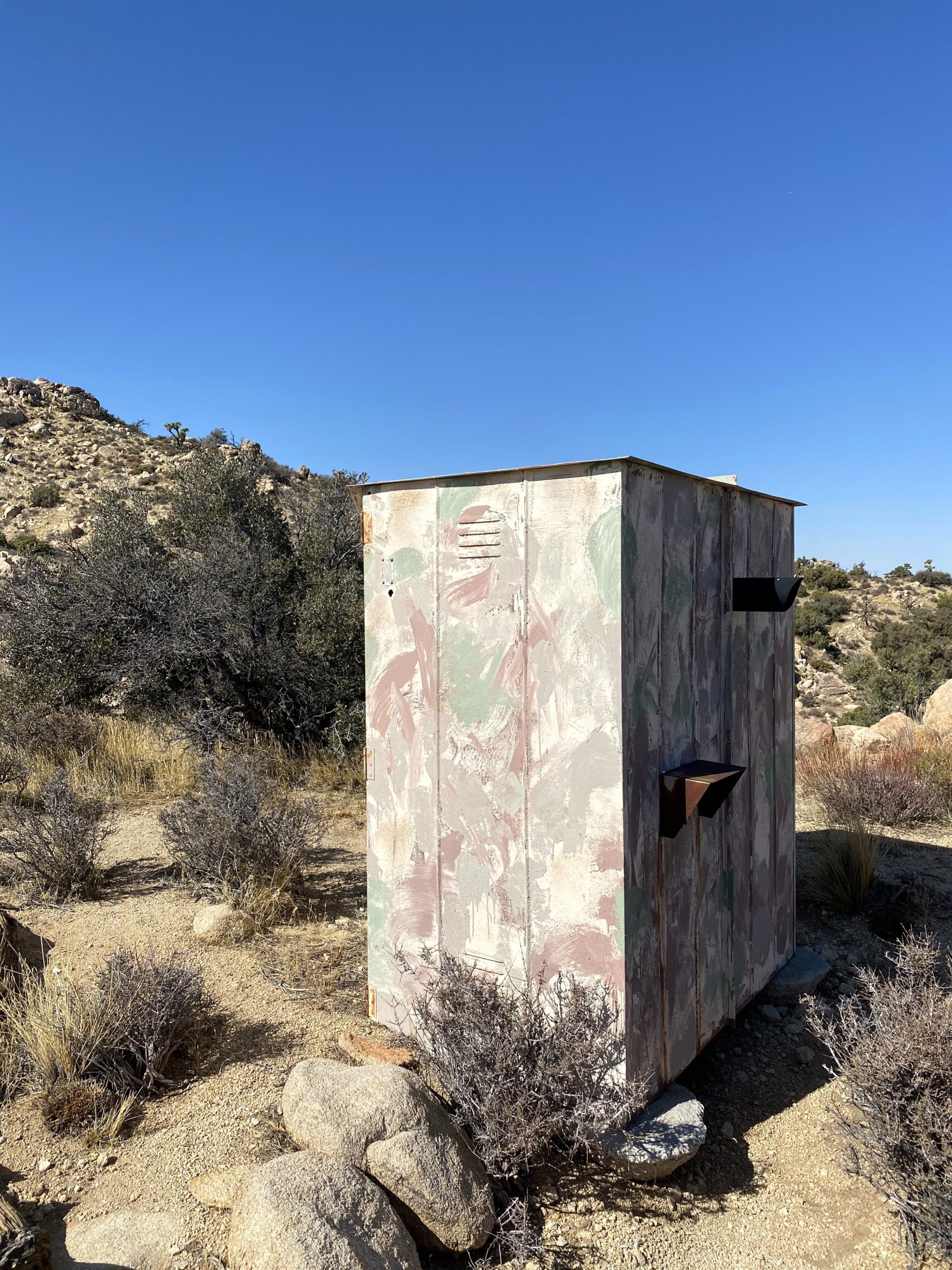
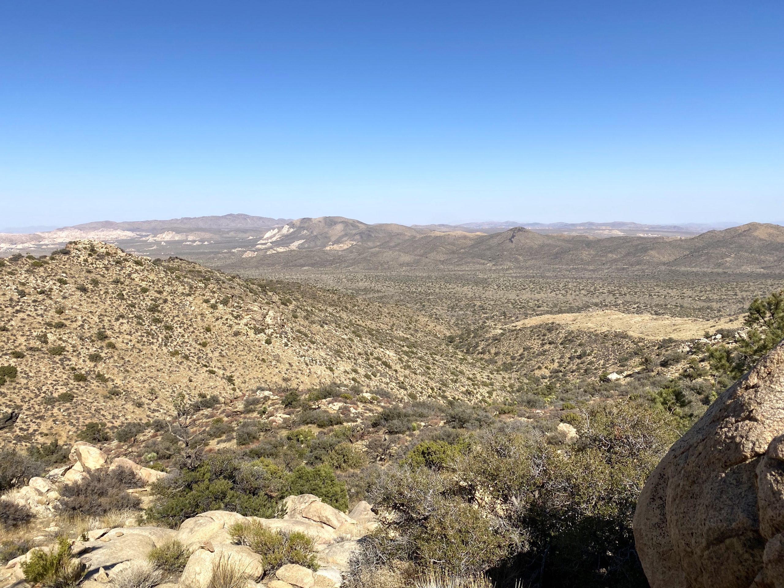
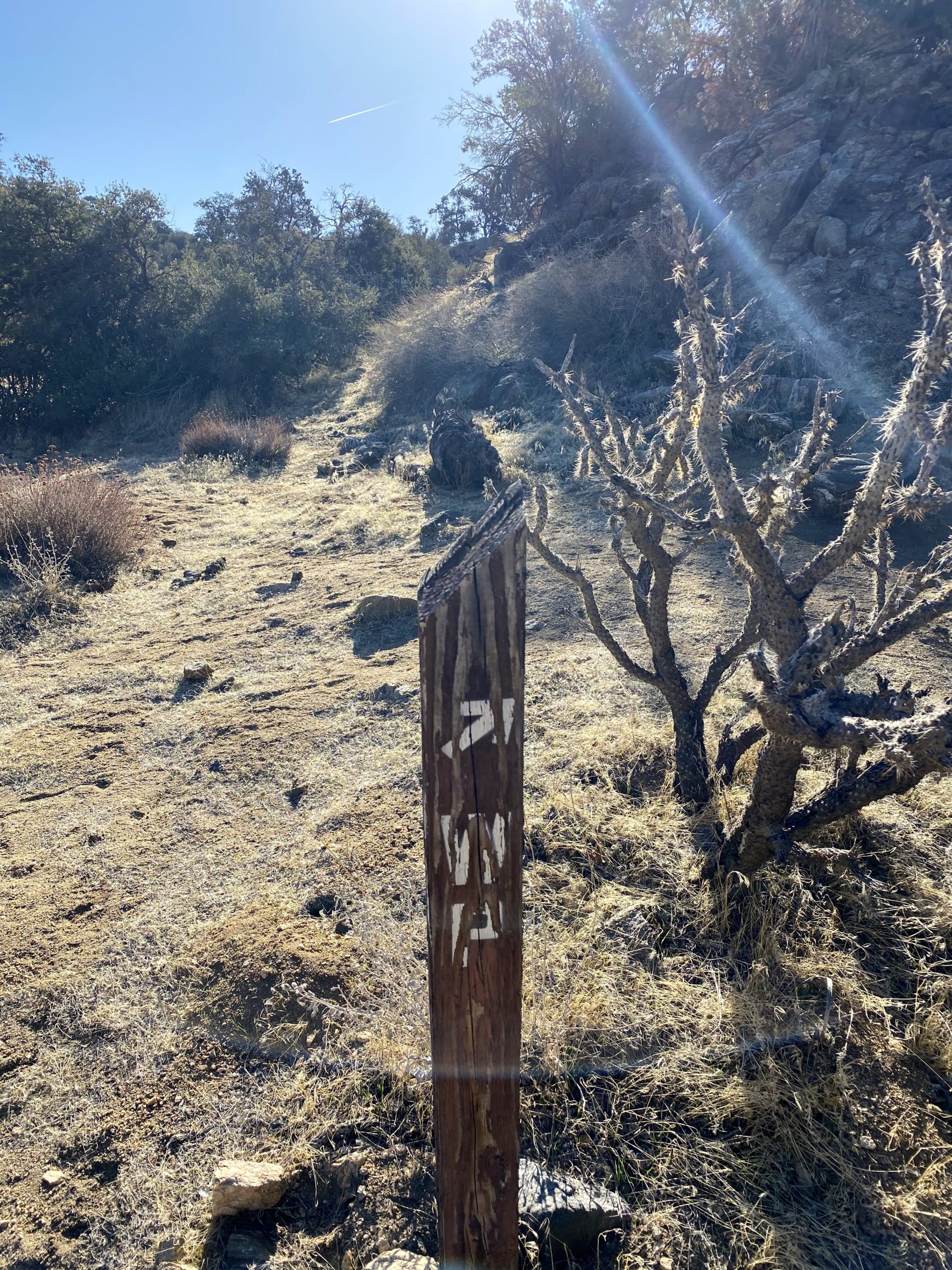
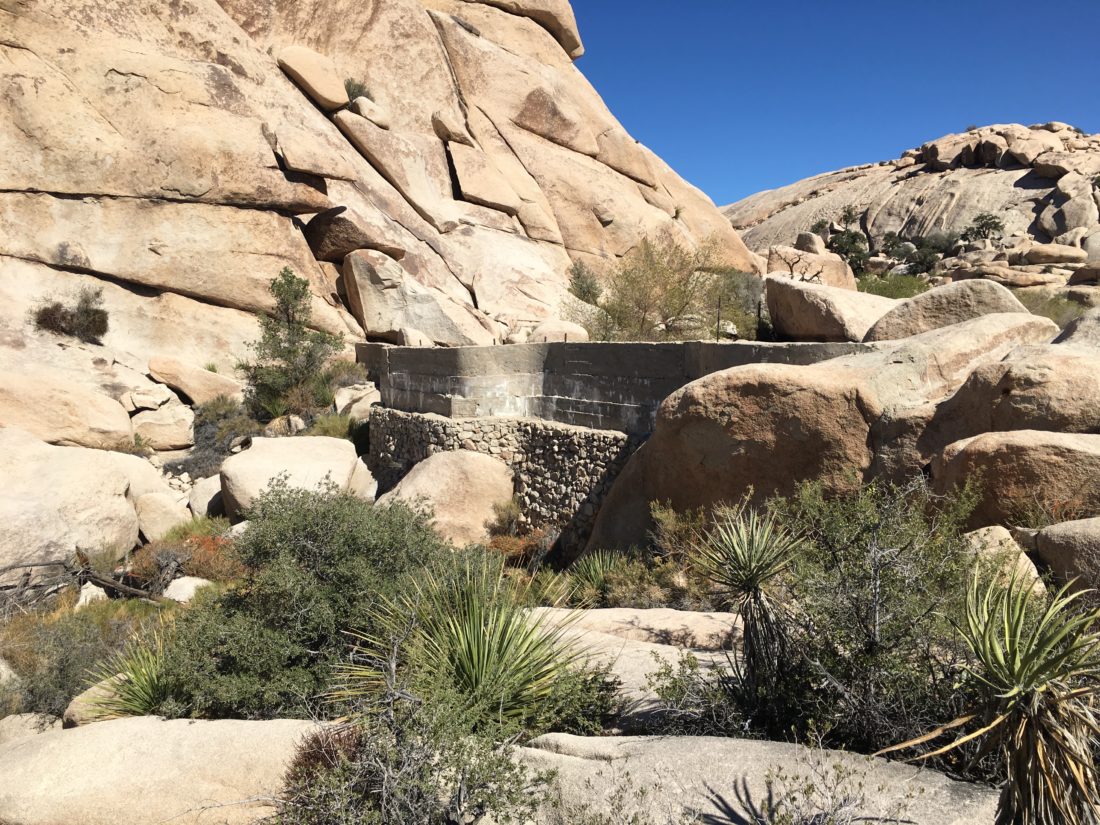
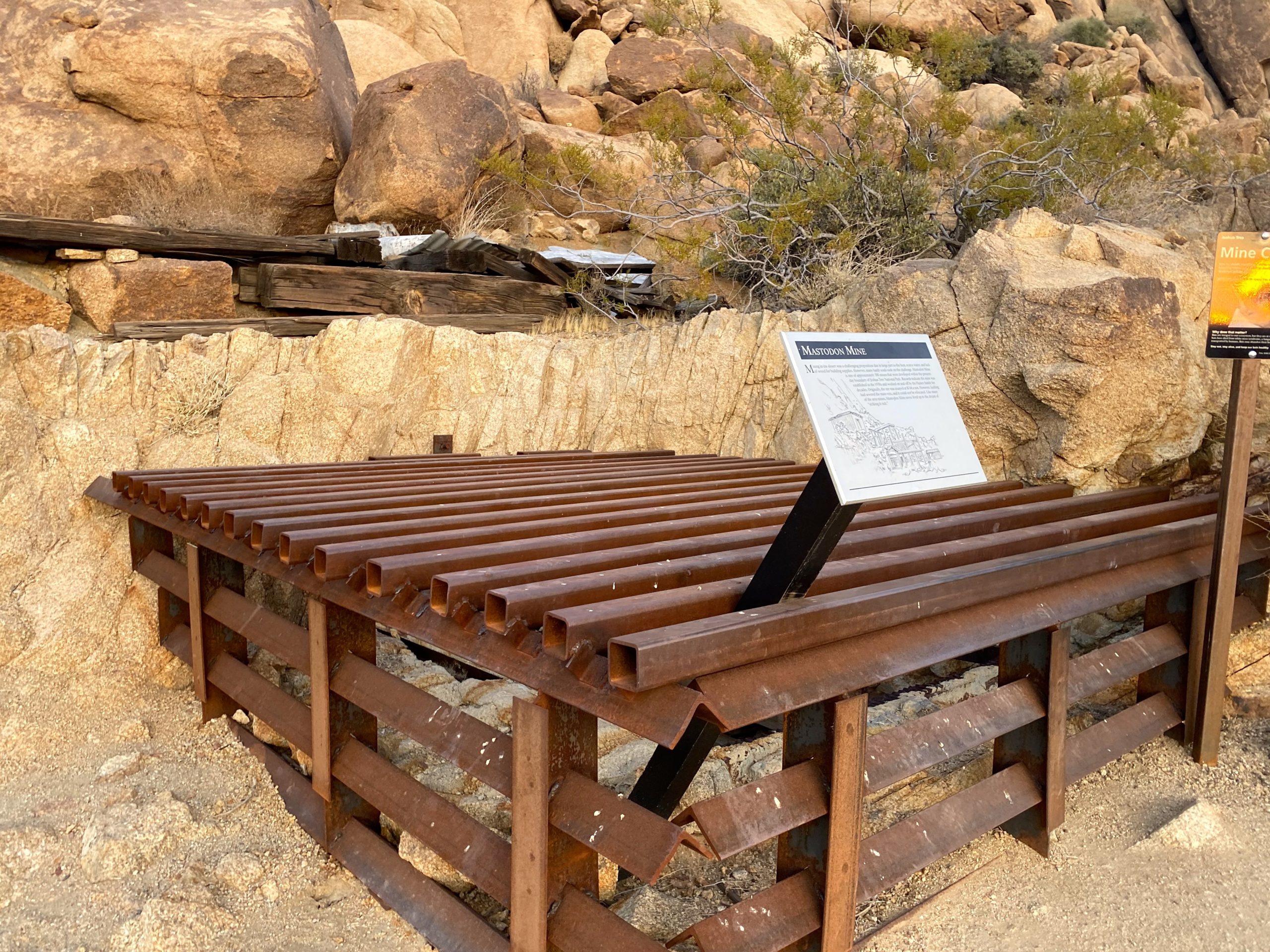
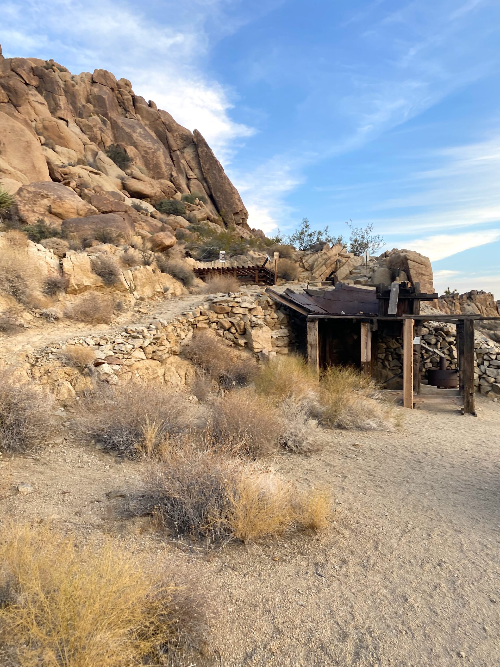
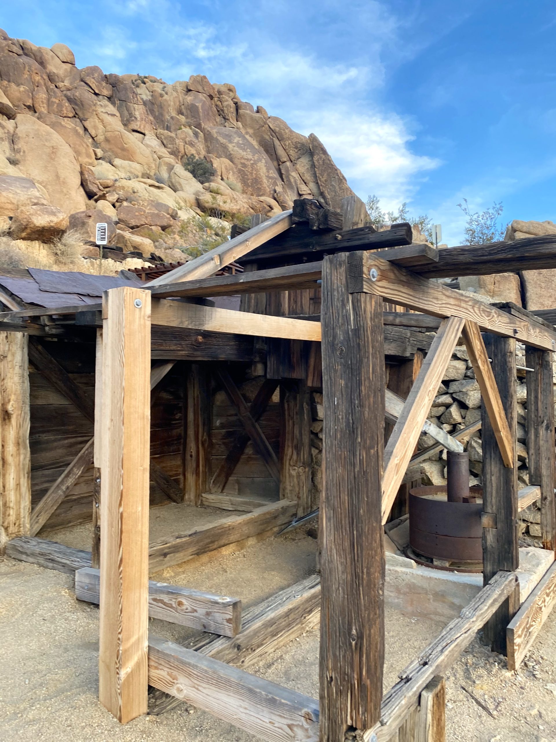
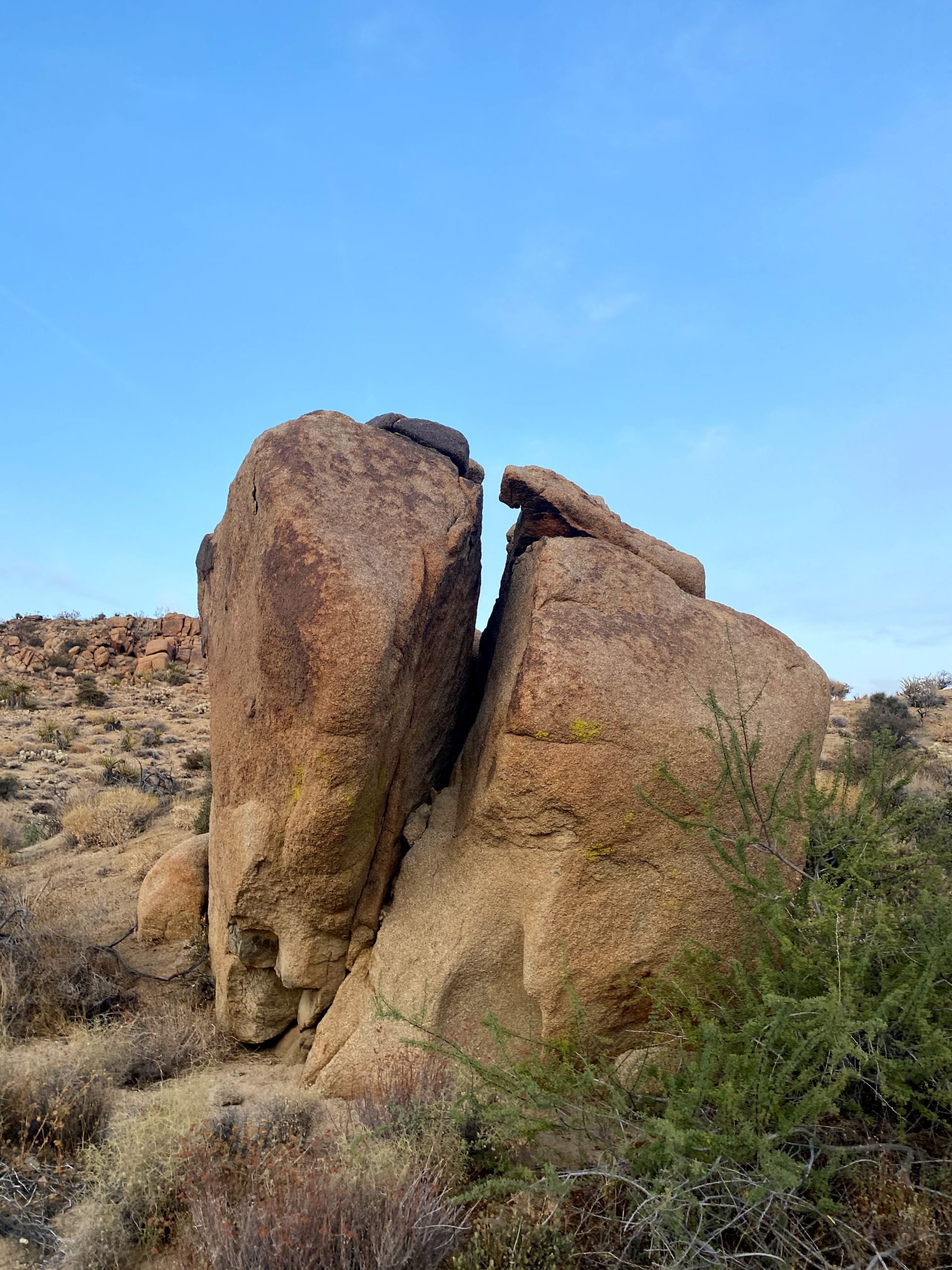
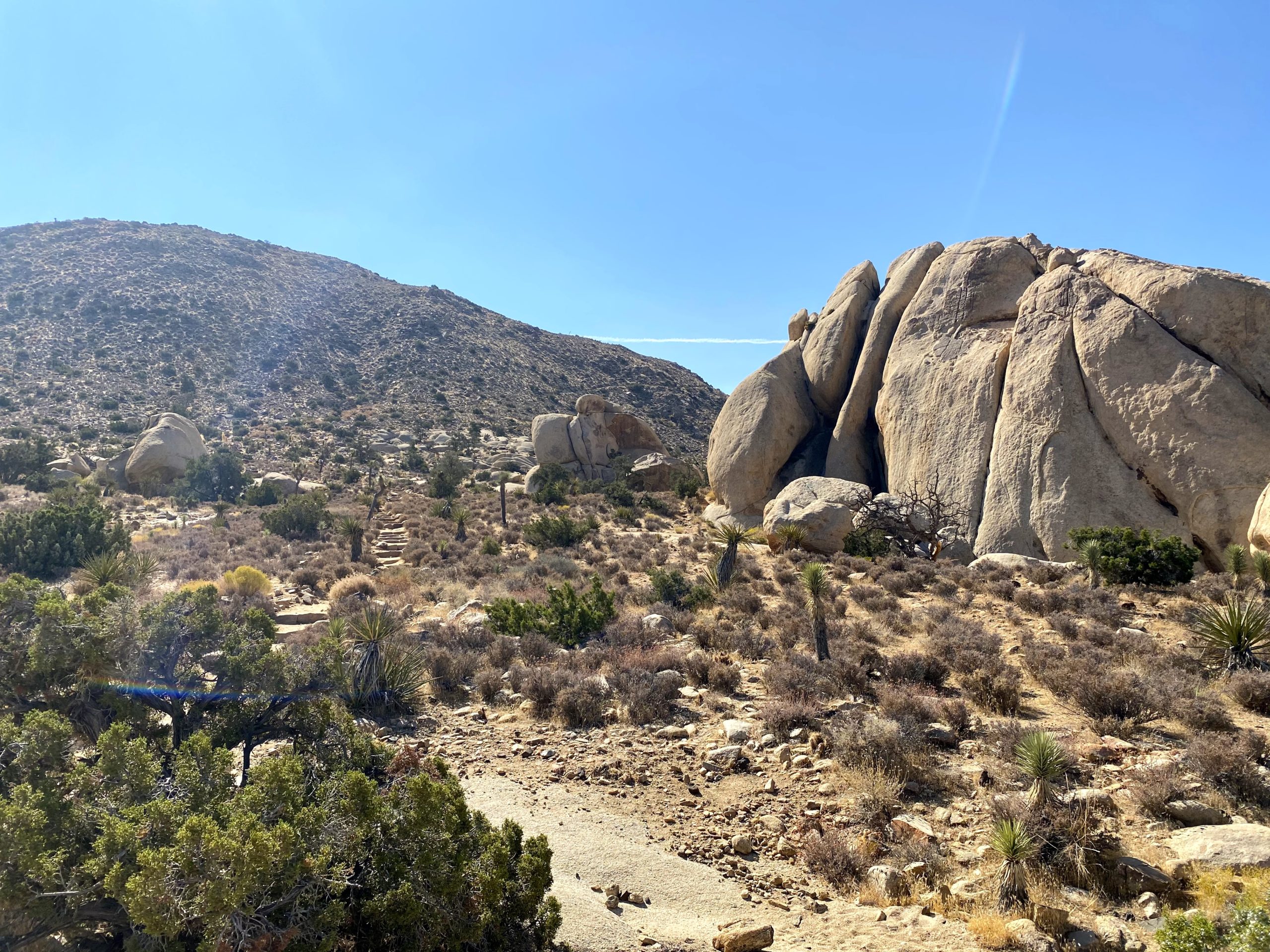
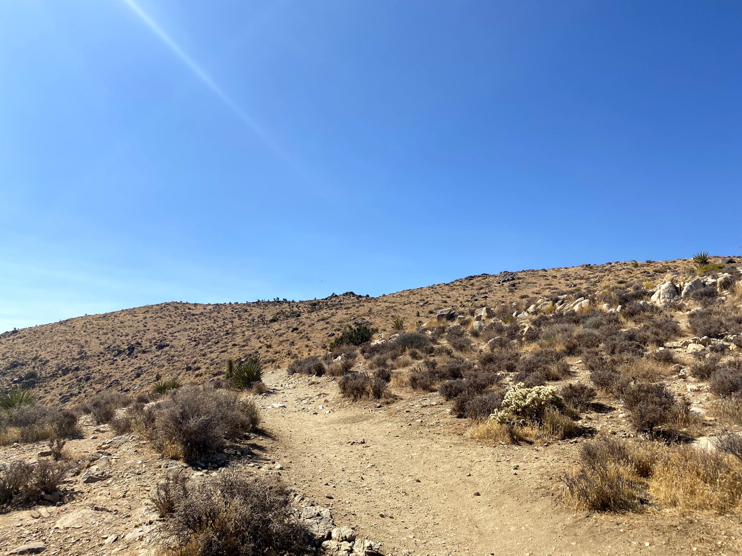
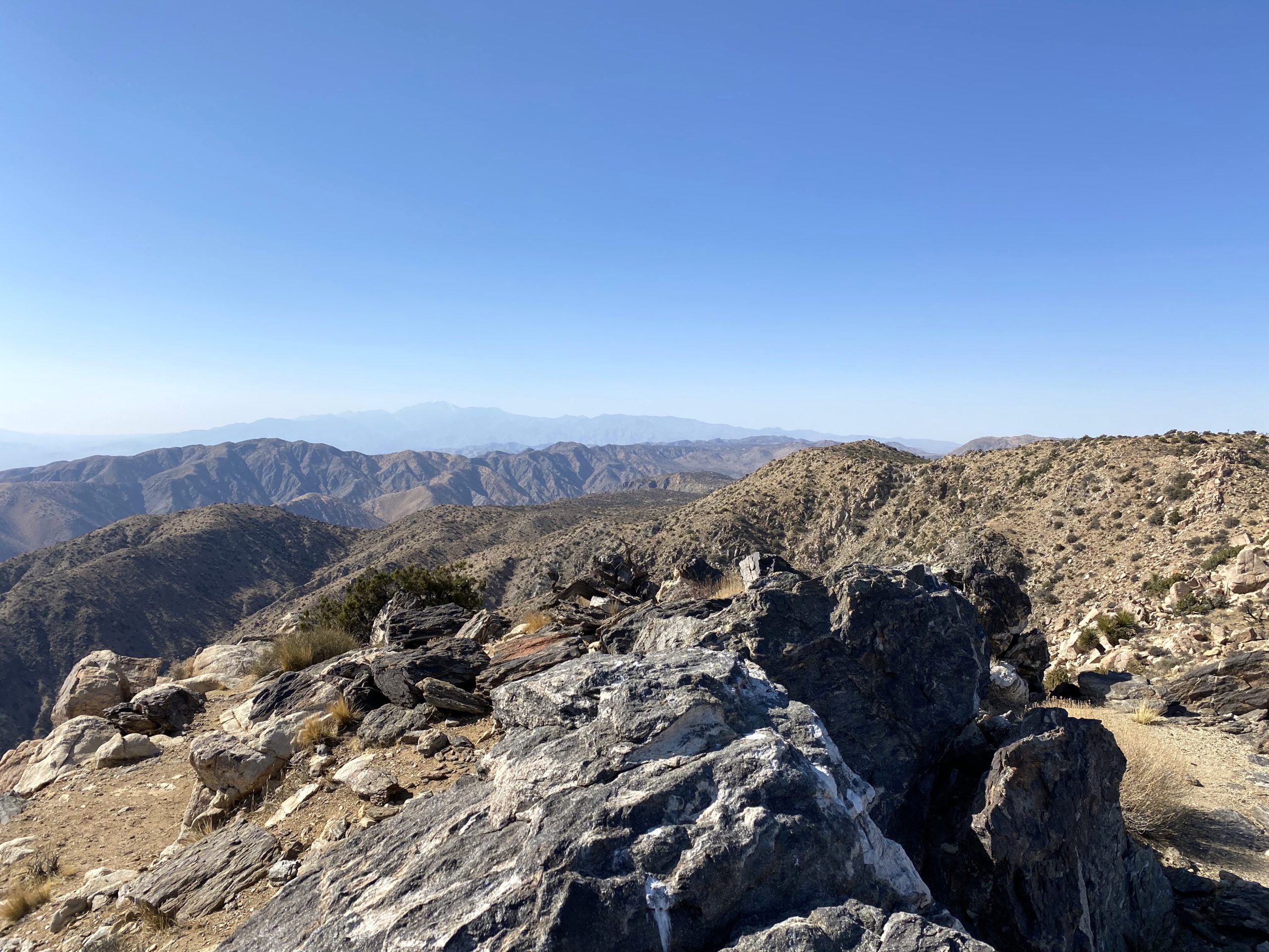
The use trail remained really good until it hit a small bump en route. I scanned the terrain and spotted it working its way around it to the east. This is where I think those two hikers had the trouble they mentioned. Also along the way, I passed a metal shed. I have no clue what it is — some more research will be needed.

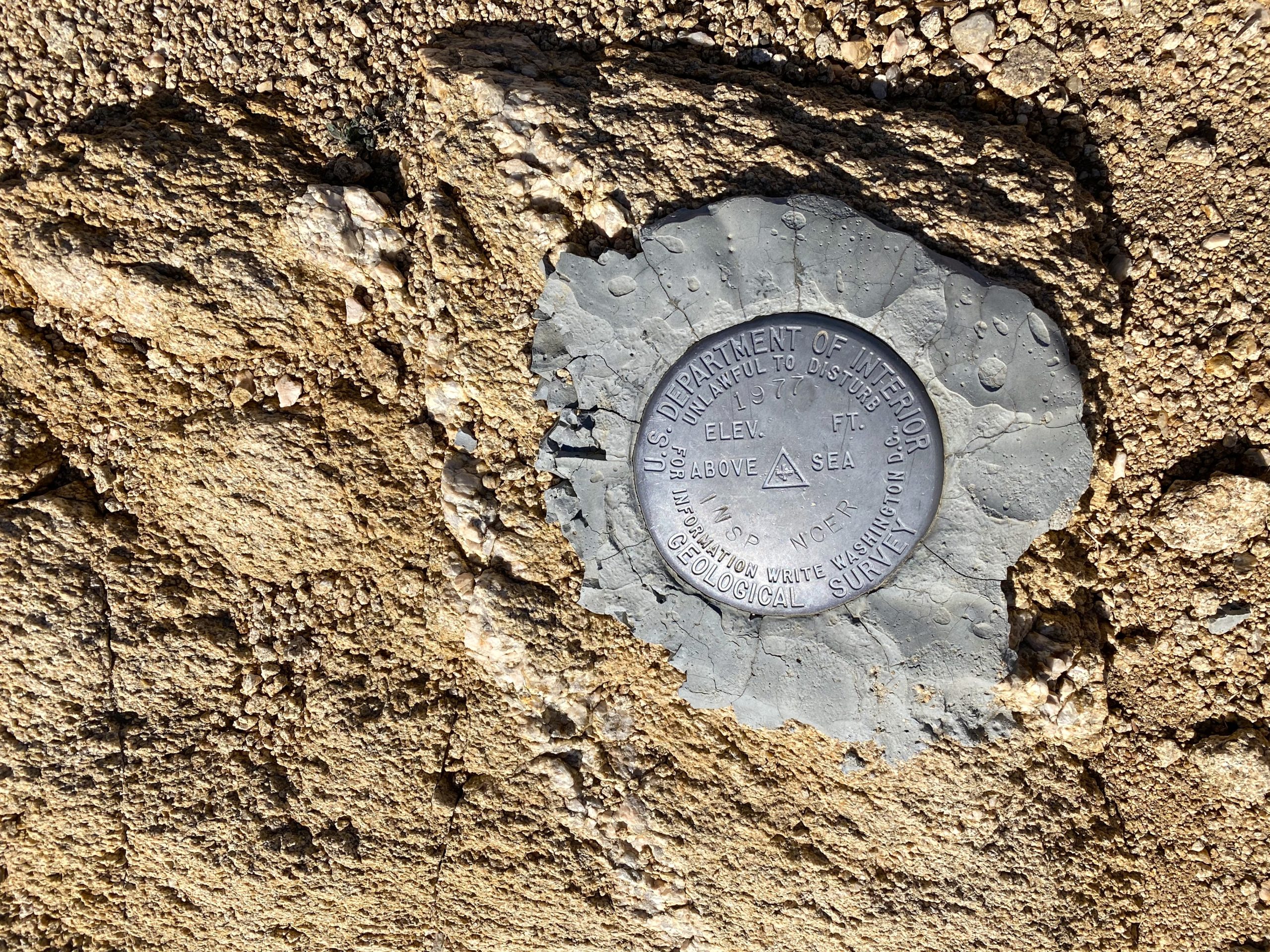
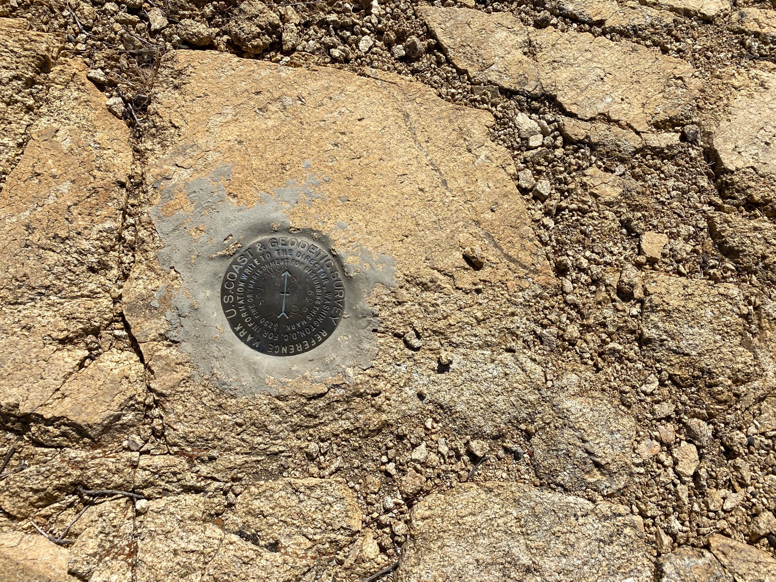
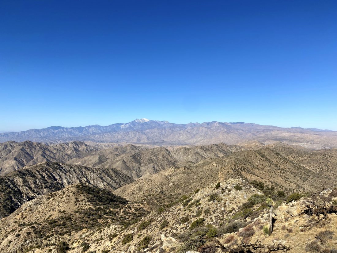
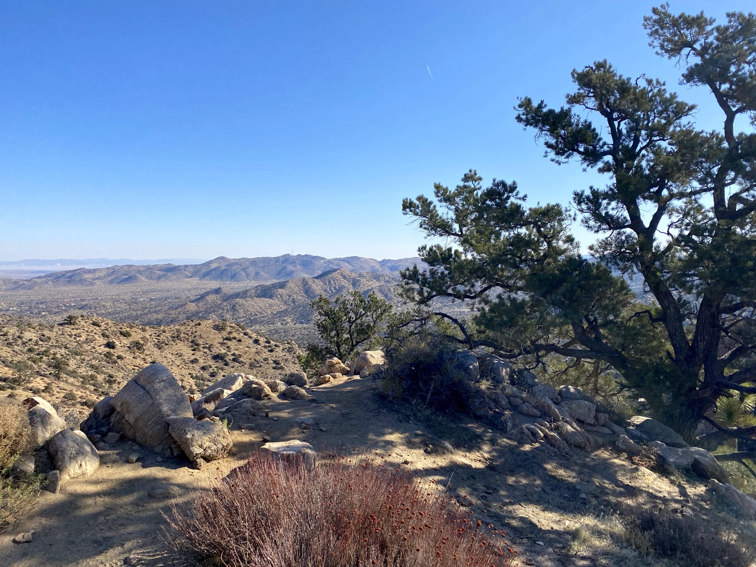
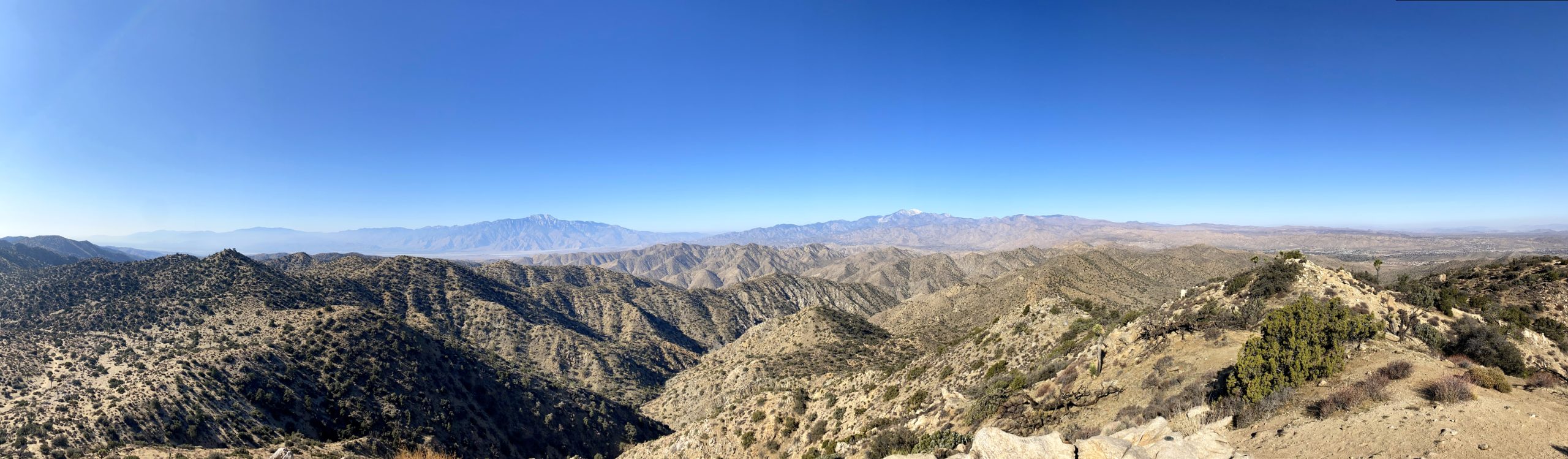
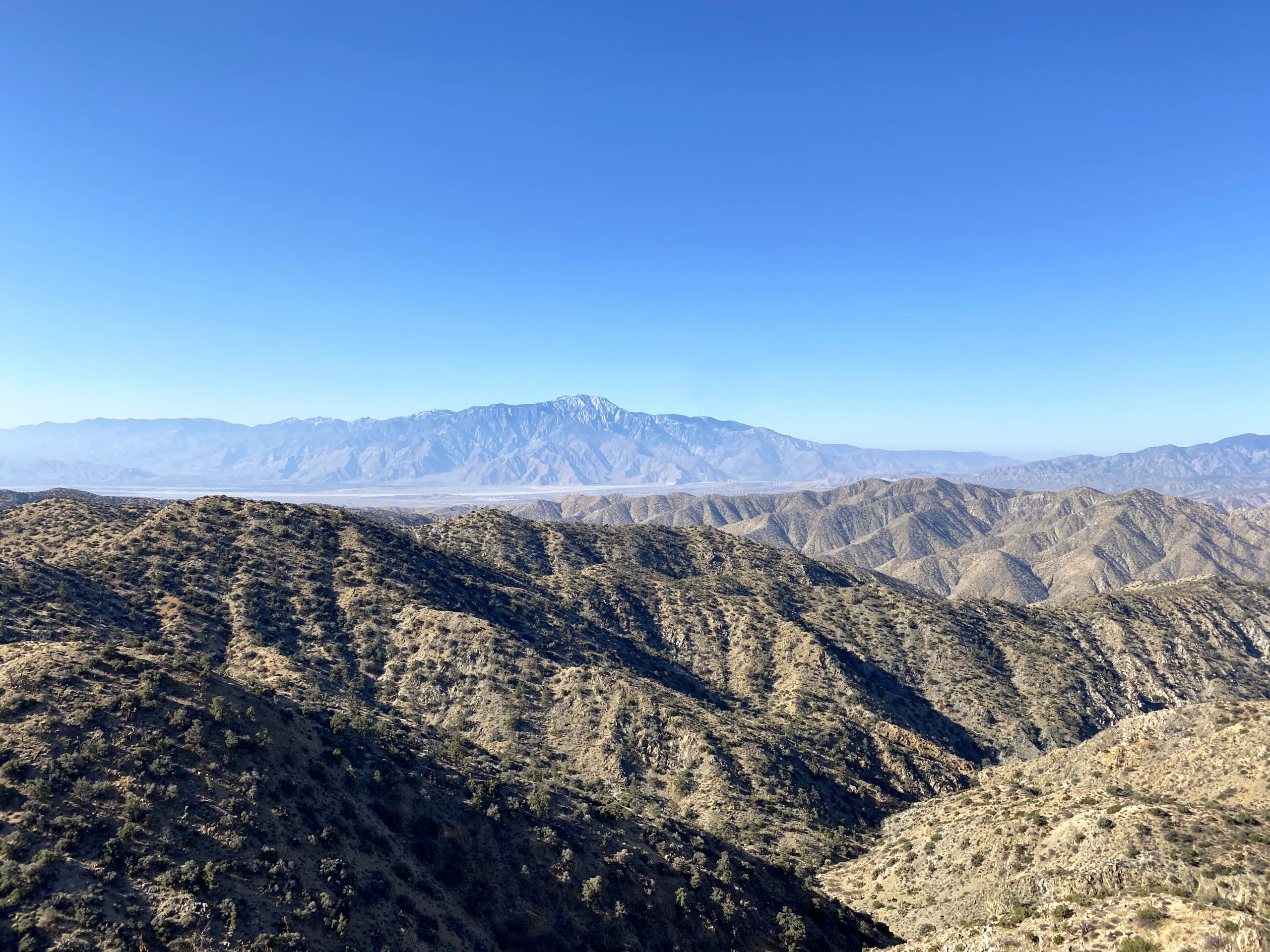
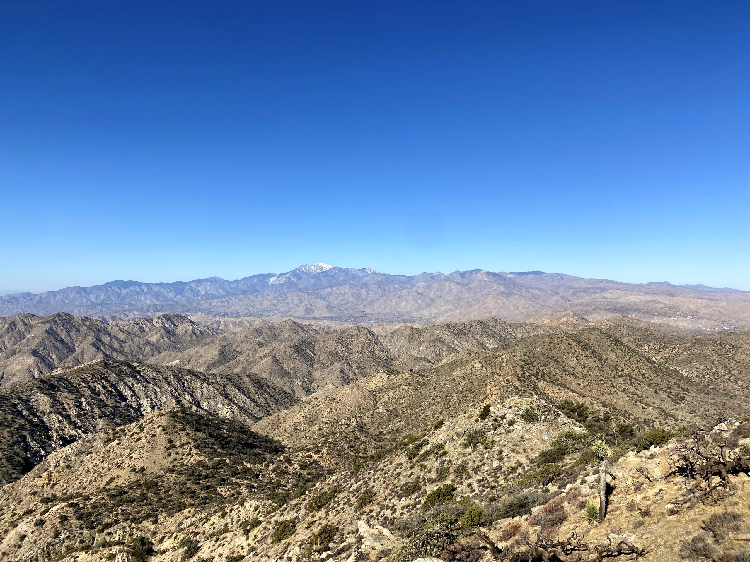
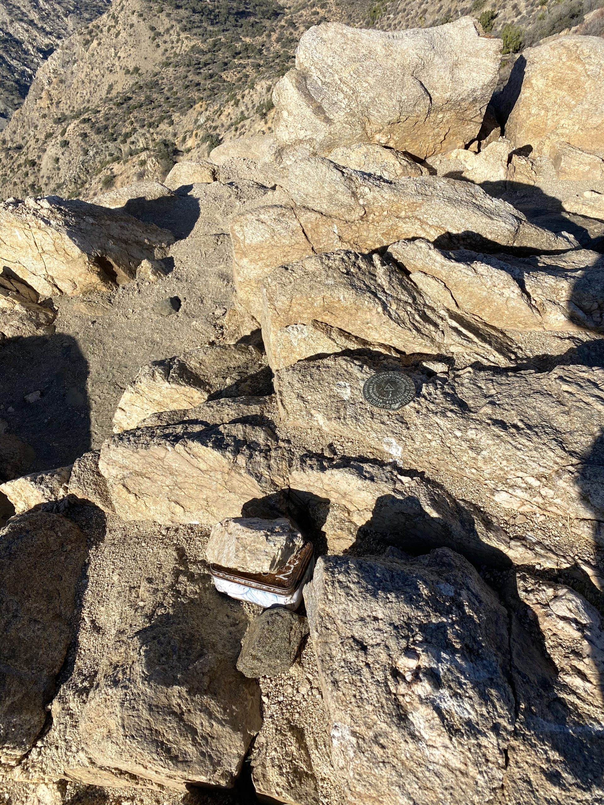
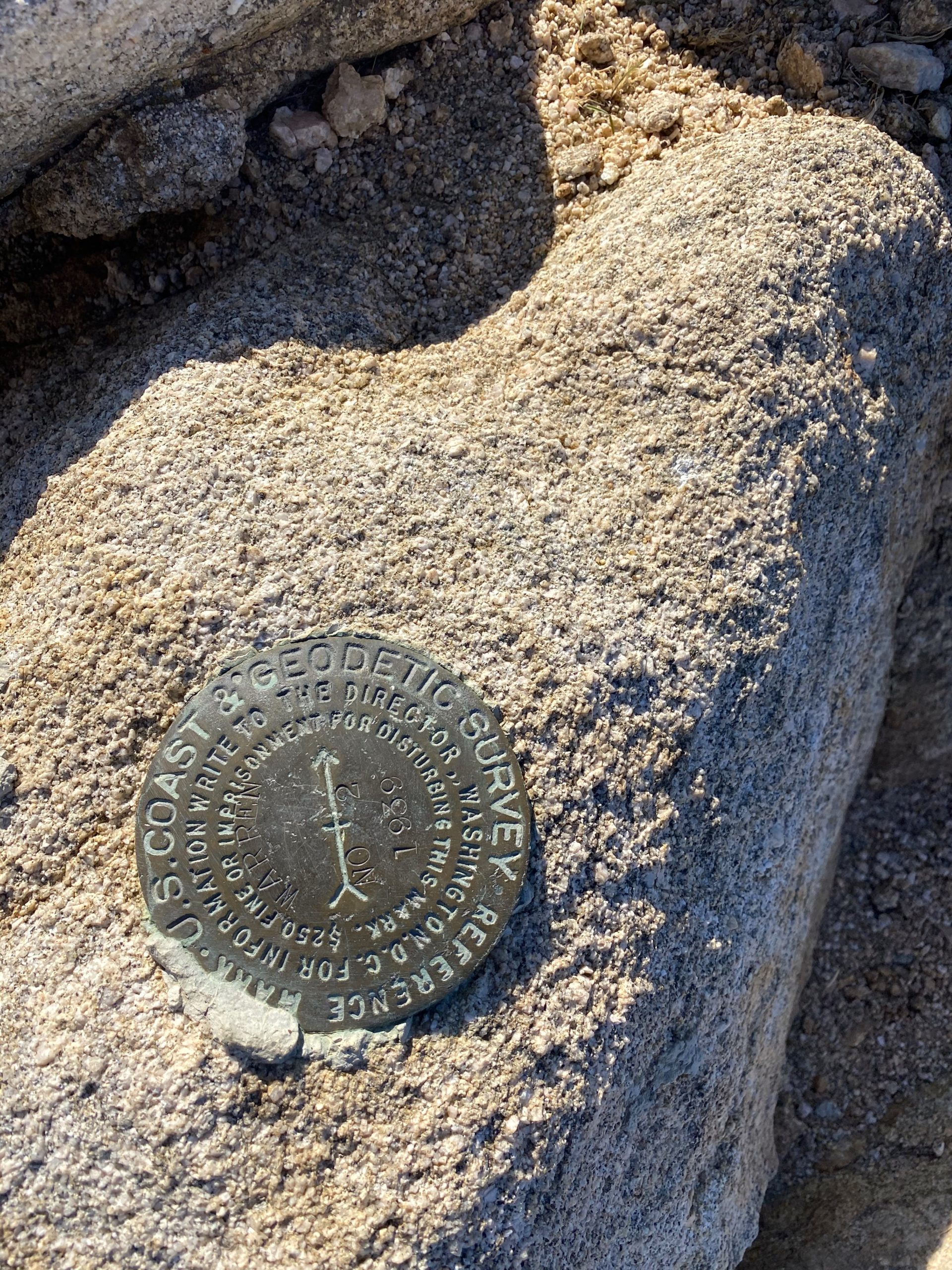
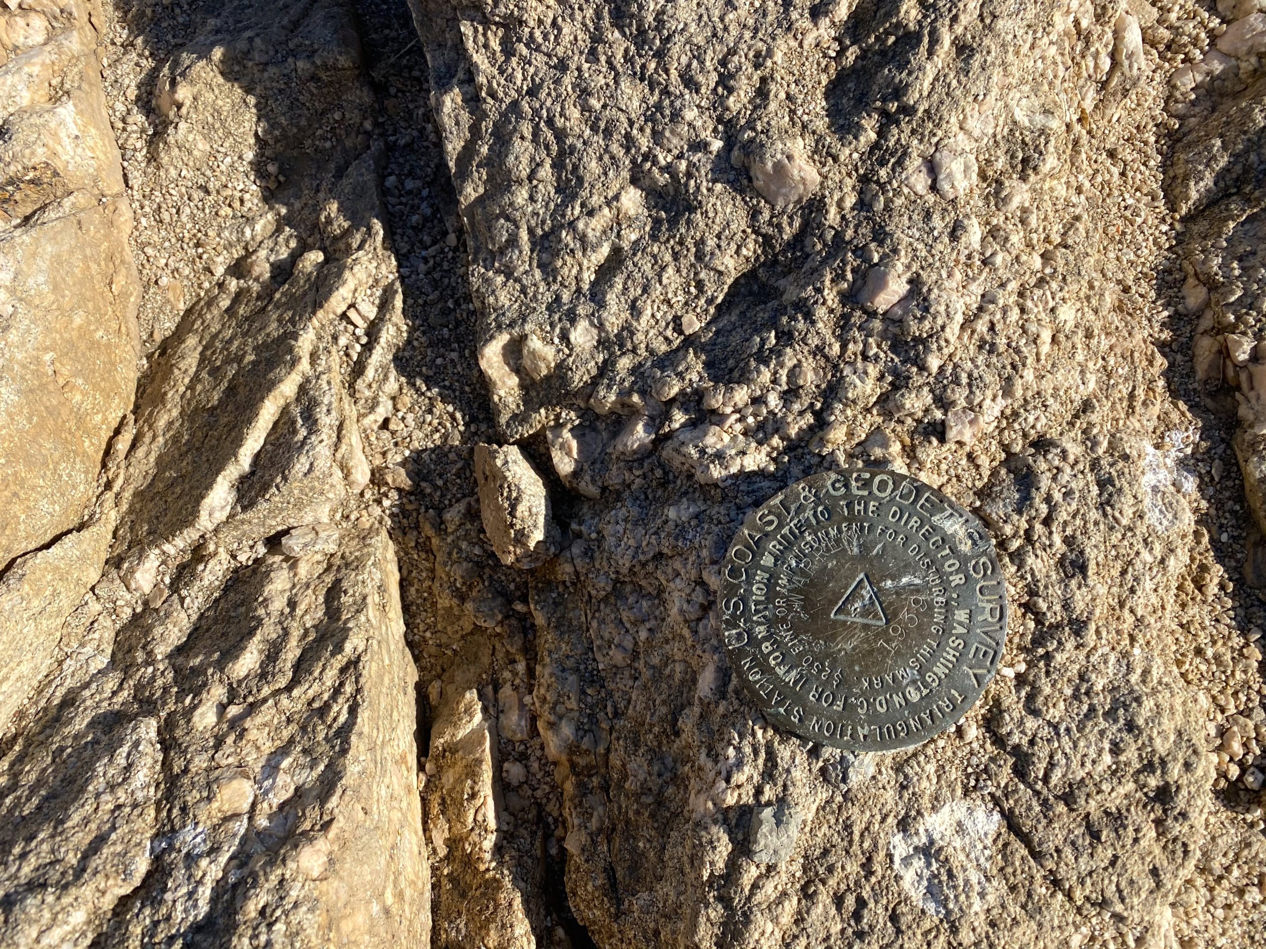
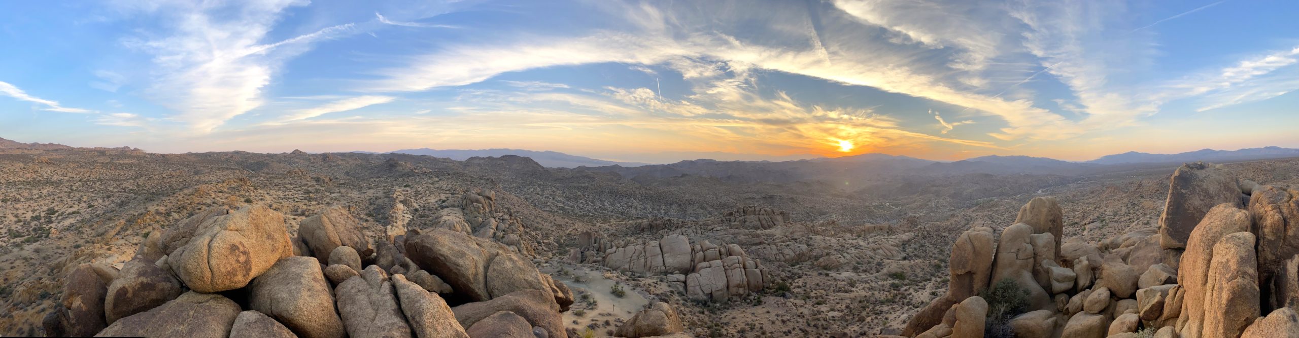
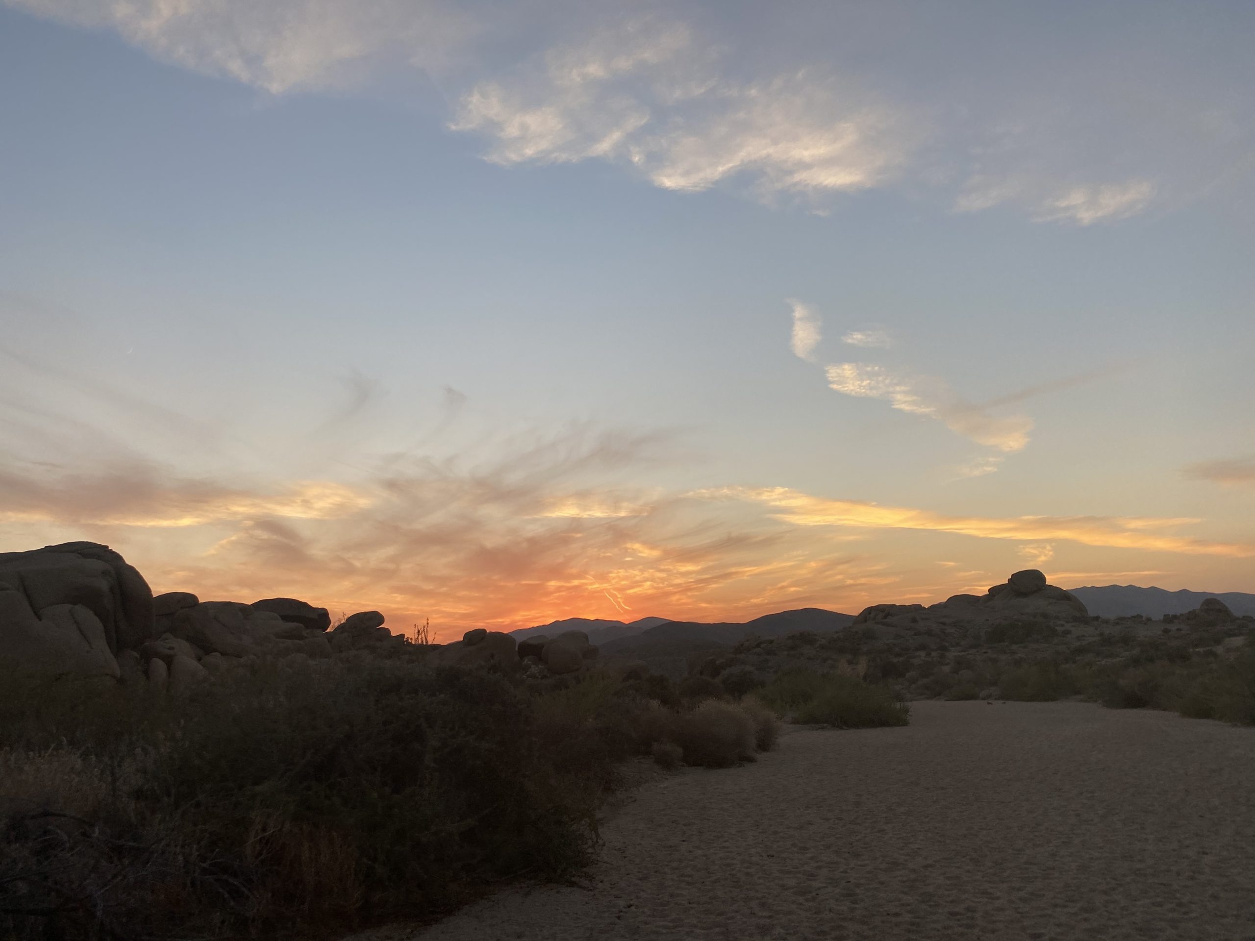
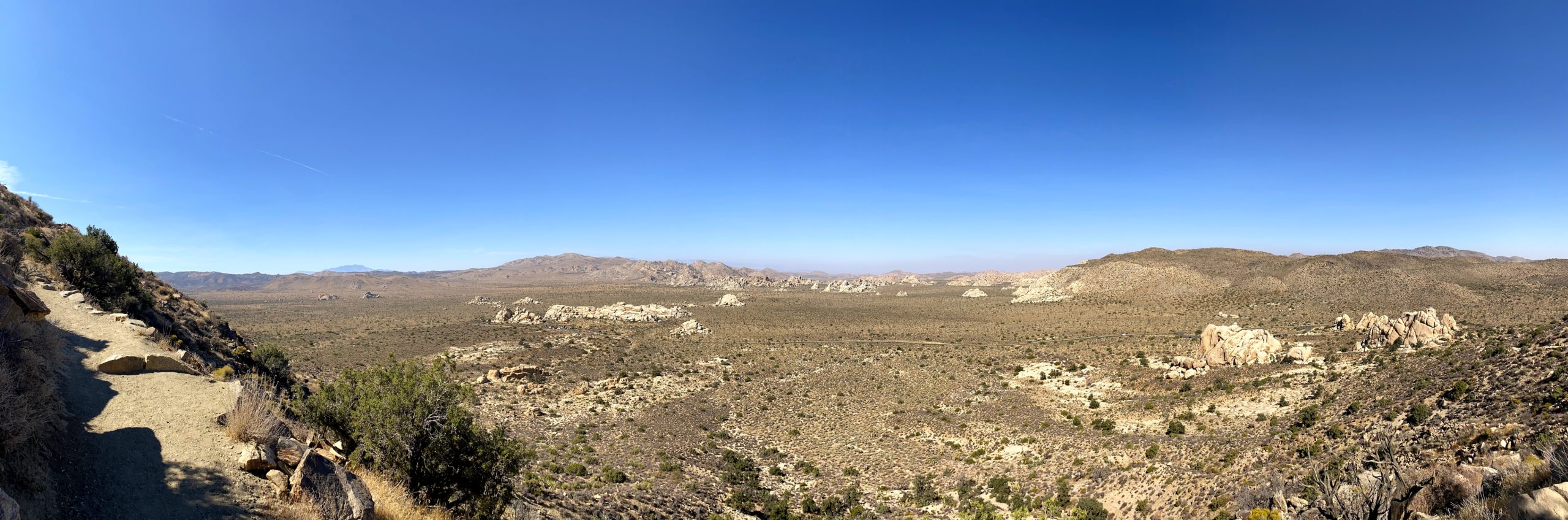
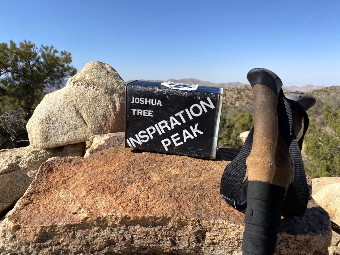
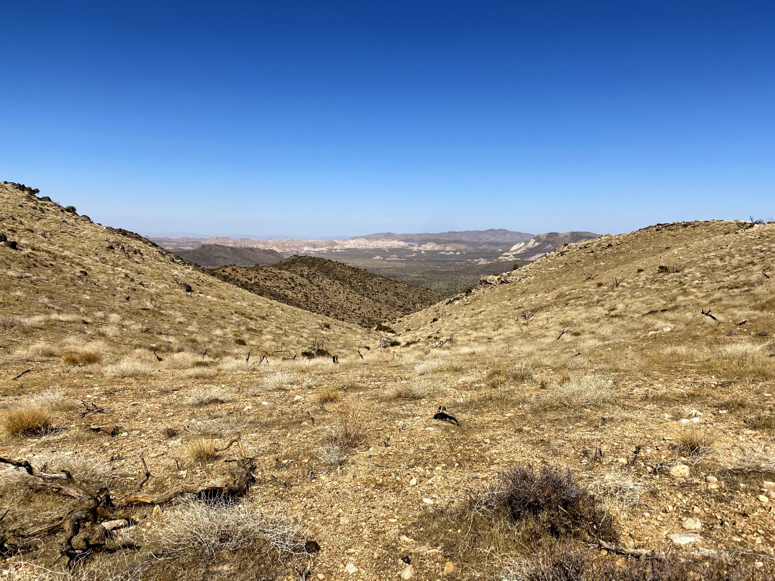
Once on the summit, I found the primary mark and reference mark #2. Try as I might, reference mark #1 could not be located. I also found the register tucked under a small rock pile. The label box made for a nice photo. The skies had become hazy, so those snow-capped mountains from earlier in the day were not nearly as visible.
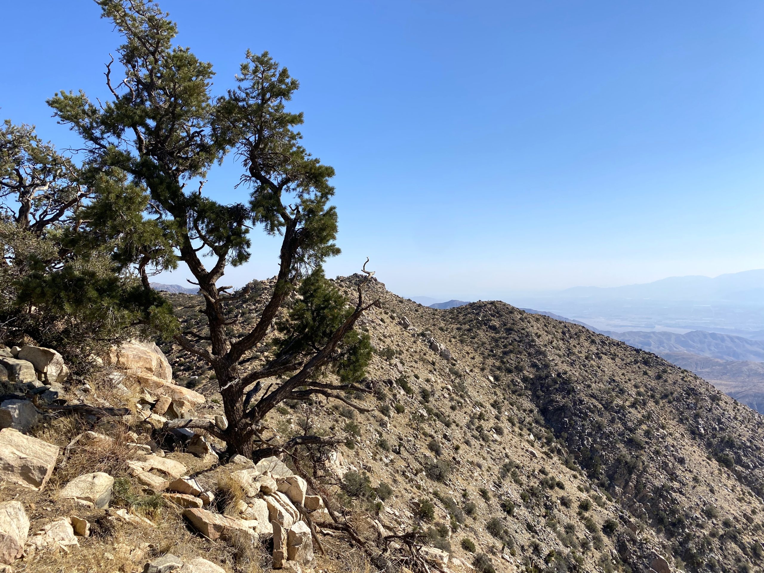
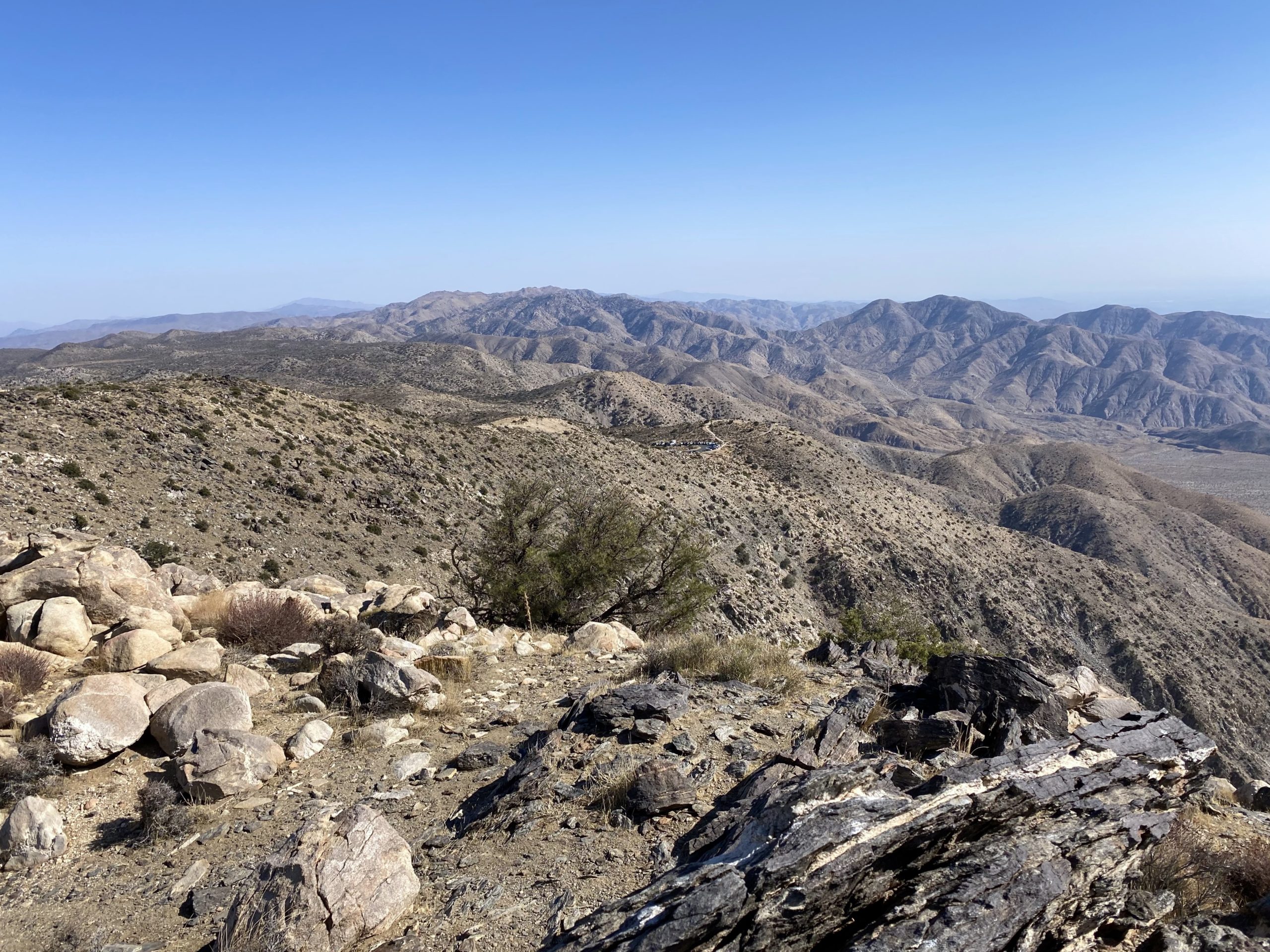
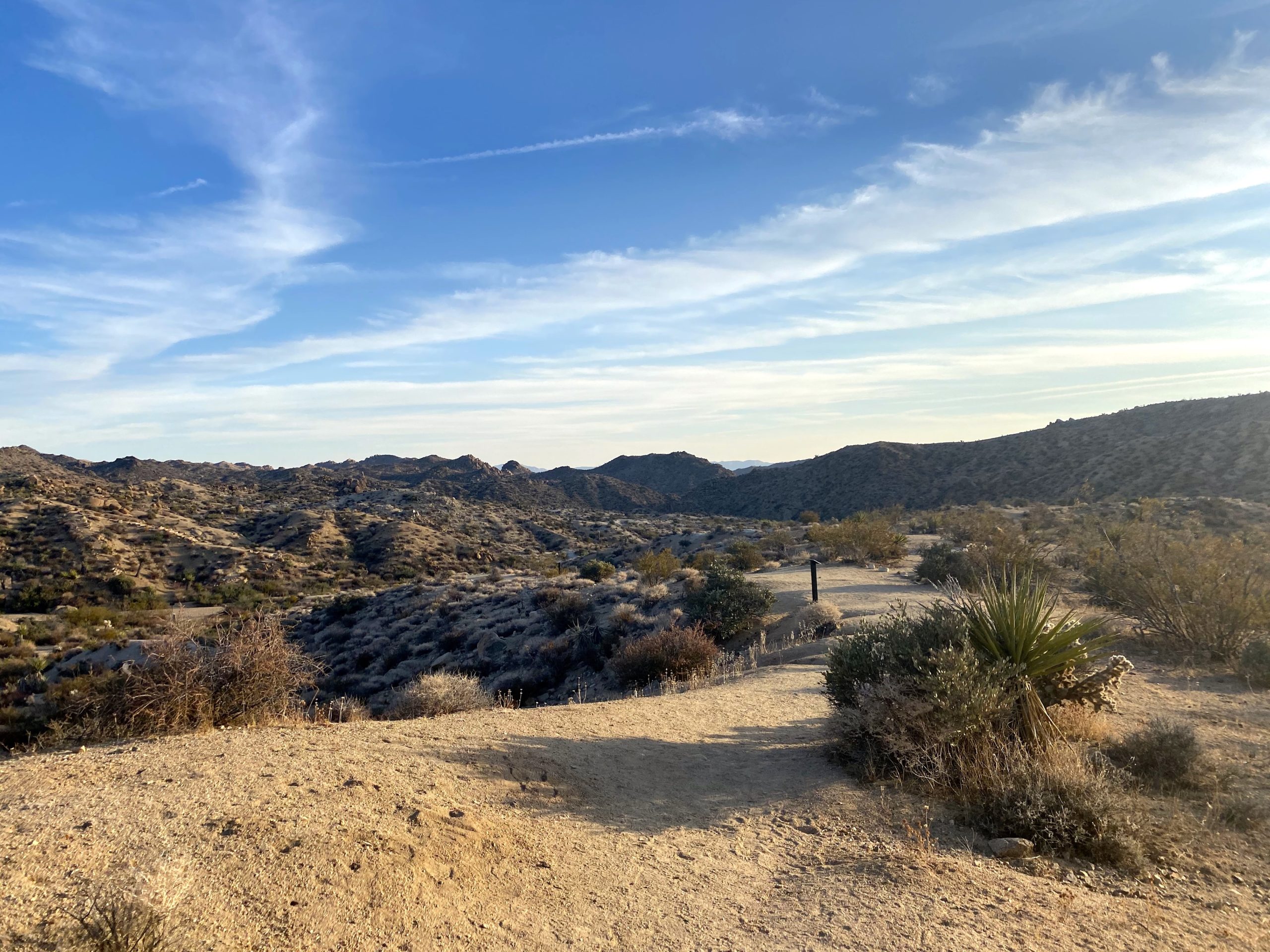
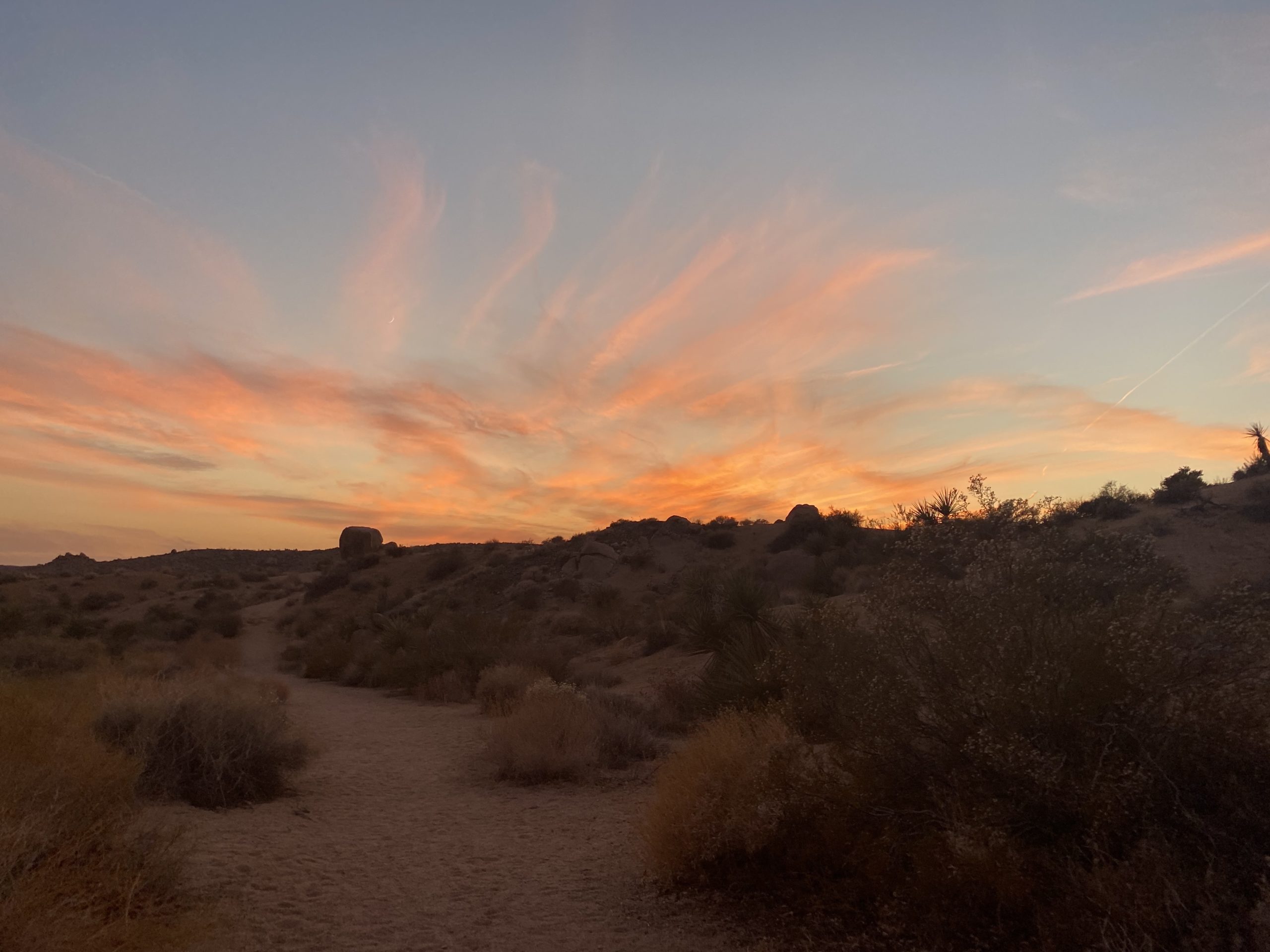
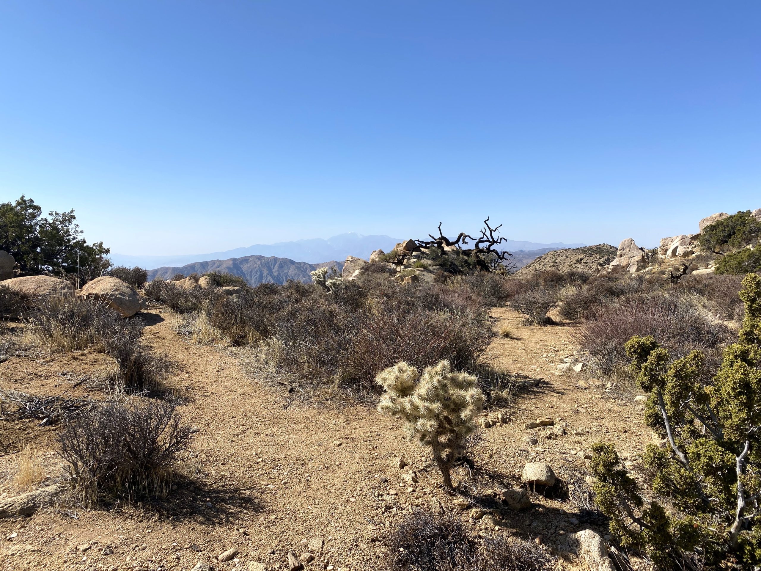
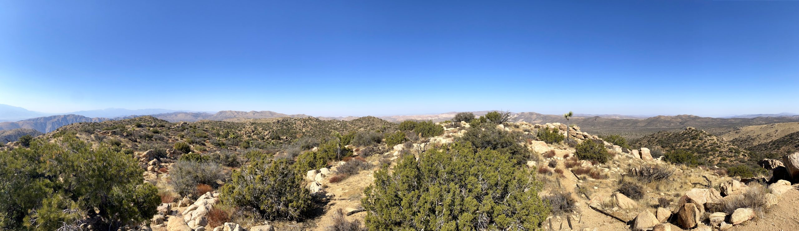
On my way back, I made the small detour to the top of South Mount Inspiration just because. Soon, the parking lot came back into view, and shortly thereafter, I was back at my car. With that, three more HPS peaks were now complete. Next week, I will attempt my 98th peak on the San Diego Sierra Club 100 Peak list.


I am an avid peak bagger, sometimes backpacker, and former sea kayaker living in San Diego. I am the co-author of Urban Trails: San Diego, available now!
In 2019, I became the third person to complete the San Diego 100 Peak Challenge. Not stopping with that accomplishment, I set my sights on the harder San Diego Sierra Club 100 Peak list, which I completed in 2021. In addition, I have conquered several Six-Pack of Peaks challenges (SoCal, San Diego, Central Coast, and both the Arizona-Winter and Arizona-Summer).
I am looking forward to exploring new summits and new adventures across the southwest.