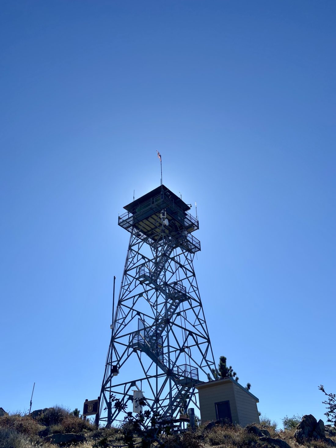
When I set out to do another round of the Six Pack of Peaks Challenge, I wanted to try to do some of the peaks in different ways, whether it was a new route or an overnight trip. I had initially planned to do Corte Madera as an overnight trip. I knew a few camping options along the route that would be perfect. In fact, one of Derek Loranger’s friends had done just that. With my back issue, however, I was not allowed to carry any weight on my back. I had been doing all my hiking with my Osprey Talon 6, and it was working out pretty well. So, if overnighting on Corte Madera was not an option, maybe there was something else. I had seen vehicles on Los Pinos Road near the Corte Madera trail, so maybe I could drive up Los Pinos, then down to the spot and start from there? I set out solo to give this a try. I was a bit apprehensive, as I was unable to get any details on the road after Tropical Storm Hillary hit San Diego. The road to the top of Los Pinos was in fair shape, but the road up Palomar was certainly worse. At the junction, I switched the car into X-mode and began the descent. The road was rockier, but seemed to be ok. Then I heard a very loud bang! I stopped, got out, and saw that my right front tire’s sidewall had completely blown out. Well, that really sucked. I nursed the car to the side so as to possibly leave some room for a car to pass (honestly, I doubted it was big enough for a car, but was enough room for a motorcycle). I then set about swapping out the tire. Unfortunately, the Outback does not have a full-size spare, so I was left using my ‘donut’. Once the tire was swapped, it was on to the next problem–there was no way for me to turn around. So, do I continue down to find a place to turn around and climb back up, or carefully back out? I had not gone more than 1/10th of a mile, so I thought that backing out was a better option. So, I worked my way back to the junction and headed down. I had a cell signal, so I called my wife to inform her of the issue and to have AAA meet me at the Buckman Springs Rest Area, as the donut needed some air to make it back into town. I made it down with no issue, and Bruce from Campo Towing arrived soon after I did and aired up the tire. Once back home, we upgraded the tires to a more off-road capable style, so as to lessen the chance of this occurring again…


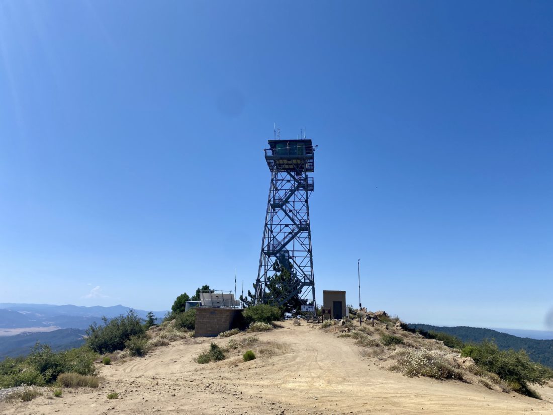
Fast forward two weeks. I finally had a chance to return to Corte Madera and decided to try the road again. I did bring my compressor this time, just in case. A bit of rain had come through the day before, so I wondered what the road would be like. As I drove up toward the lookout tower, a few puddles remained, but overall, the road seemed okay. The new tires felt great. Once at the summit, I stopped and got out. I started down the road, focusing on the challenge ahead. I decided to walk it for a bit just to get a feel. That is when I got a good sense of how muddy it was and that a nice layer of pine needles also covered the road. The road up is almost completely exposed so that part had dried out more, while the west side of the mountain was fairly well covered in trees. I did not want to risk getting stuck in the mud or worse, end up sliding into something. So, with that, I retreated to the standard starting point for Corte Madera. I made a quick pit stop at the vault toilet at the Corral Canyon Staging Area. When I drove past it on the way up, it was empty. Now a minivan was there. Hum, I wonder if I would catch them. They had at best a 20-minute head-start. I grabbed my gear and opted not to put on my light fleece. While it was chilly, I knew I would warm up soon.


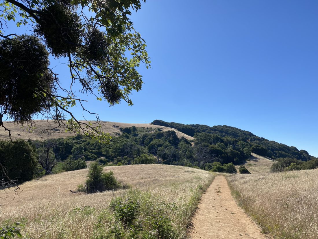
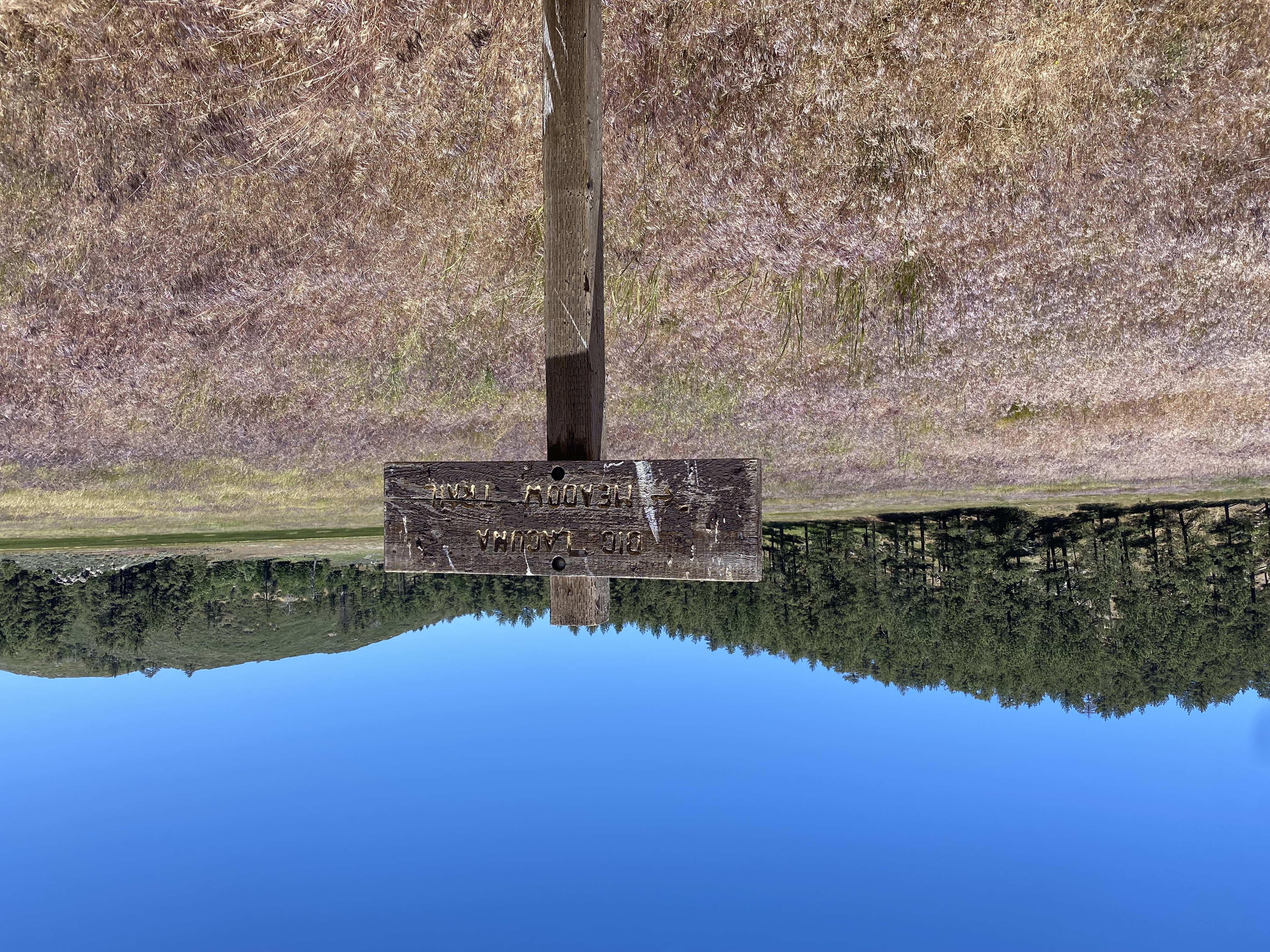
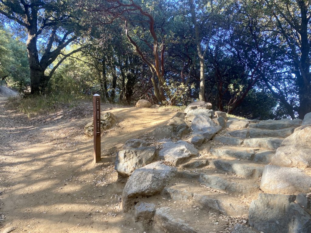
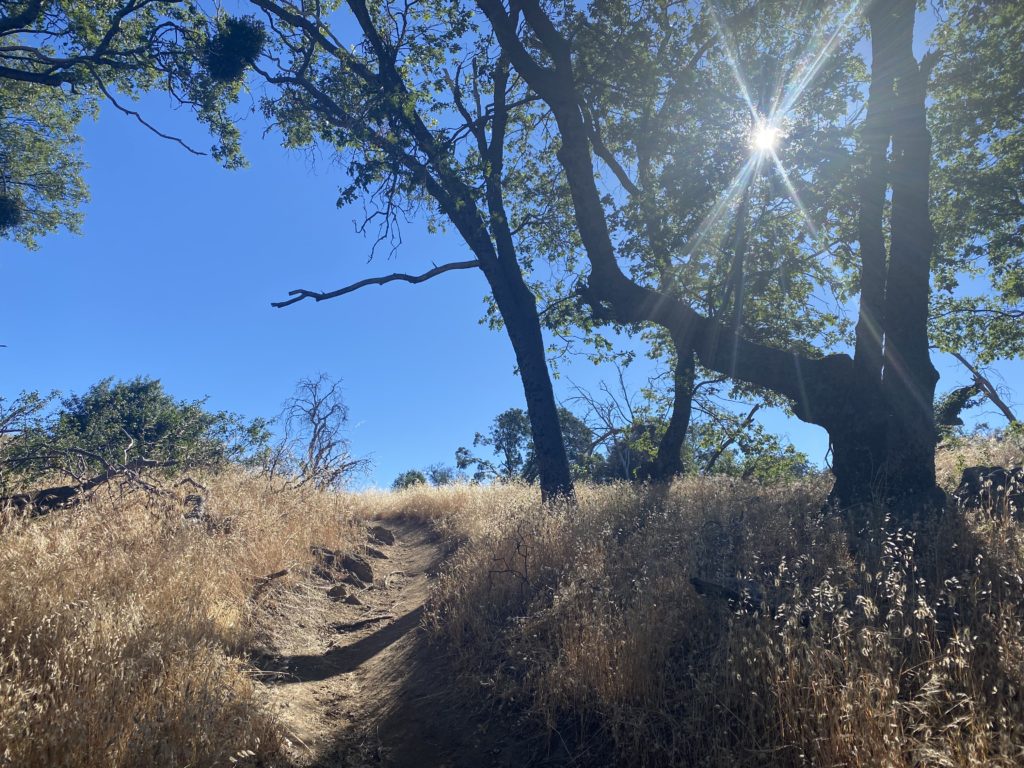
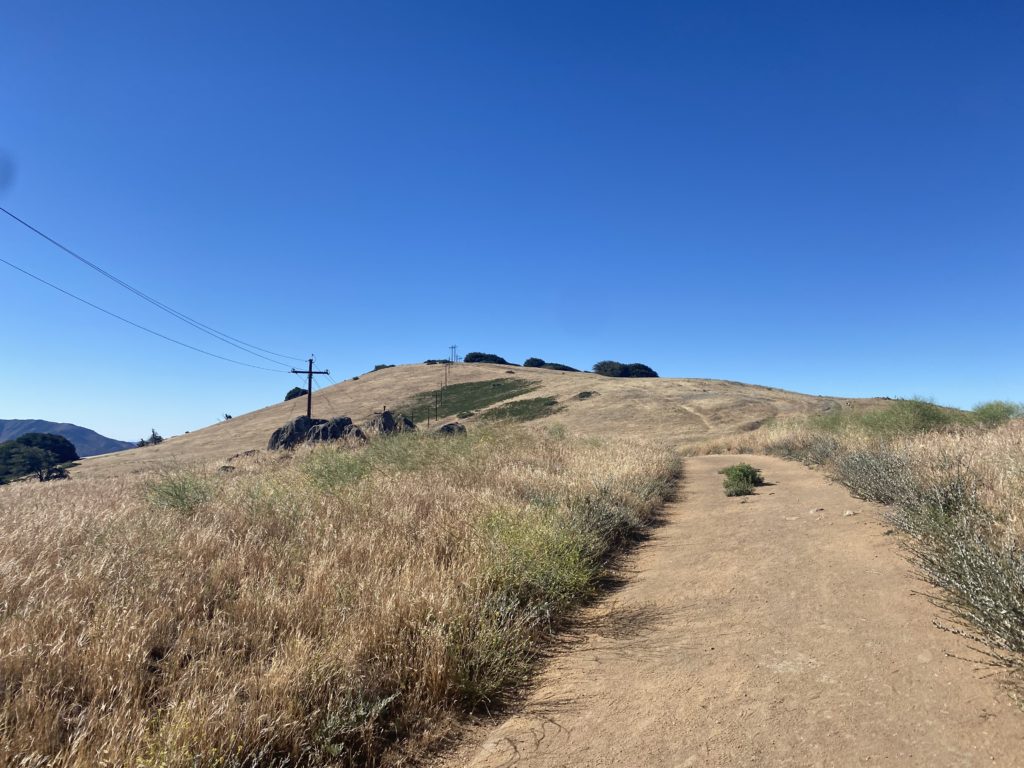
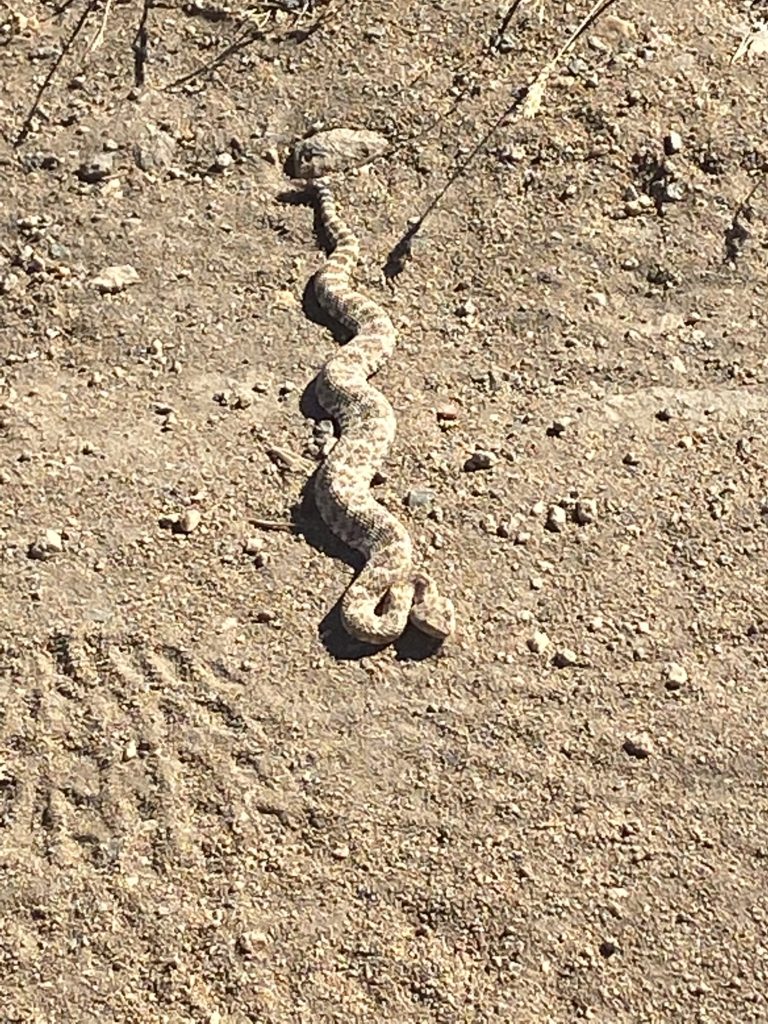
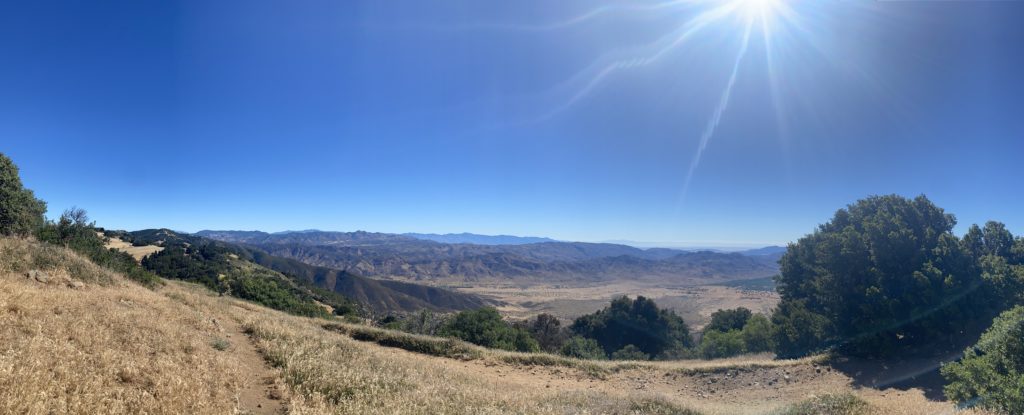
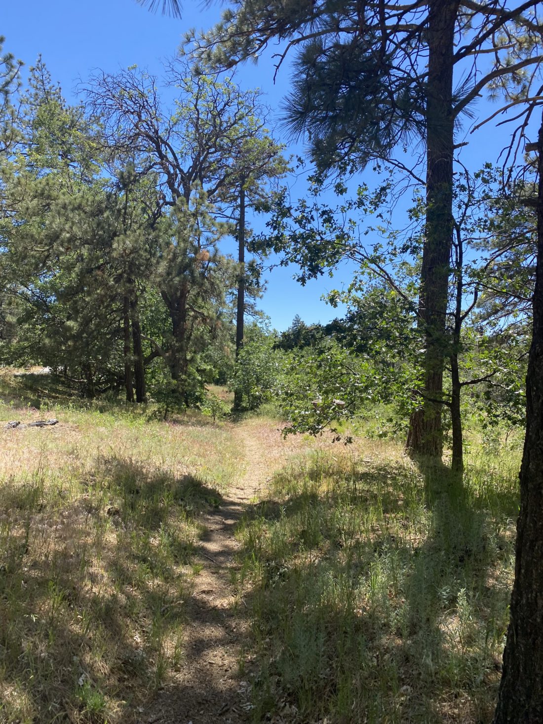
I slipped past the gate to the road that the few homes back here use and cruised up the road to the Espinoza Trail. A neat mushroom caught my eye along the way and I snapped a picture. A large white sign pointed at the trail junction and I began the climb to the Espinoza Saddle. Sections of the trail were pretty muddy and I could see foot slips outlined in the mud. This reinforced my decision that not driving down was the right one. I reached the saddle and got even more evidence about the condition of some of the roads. I then turned right to continue on Los Pinos Road for a short bit. Except for one large puddle, this section seemed drivable, but it was also exposed to the warmth of the sun. There were no ruts or washouts, so maybe next year?


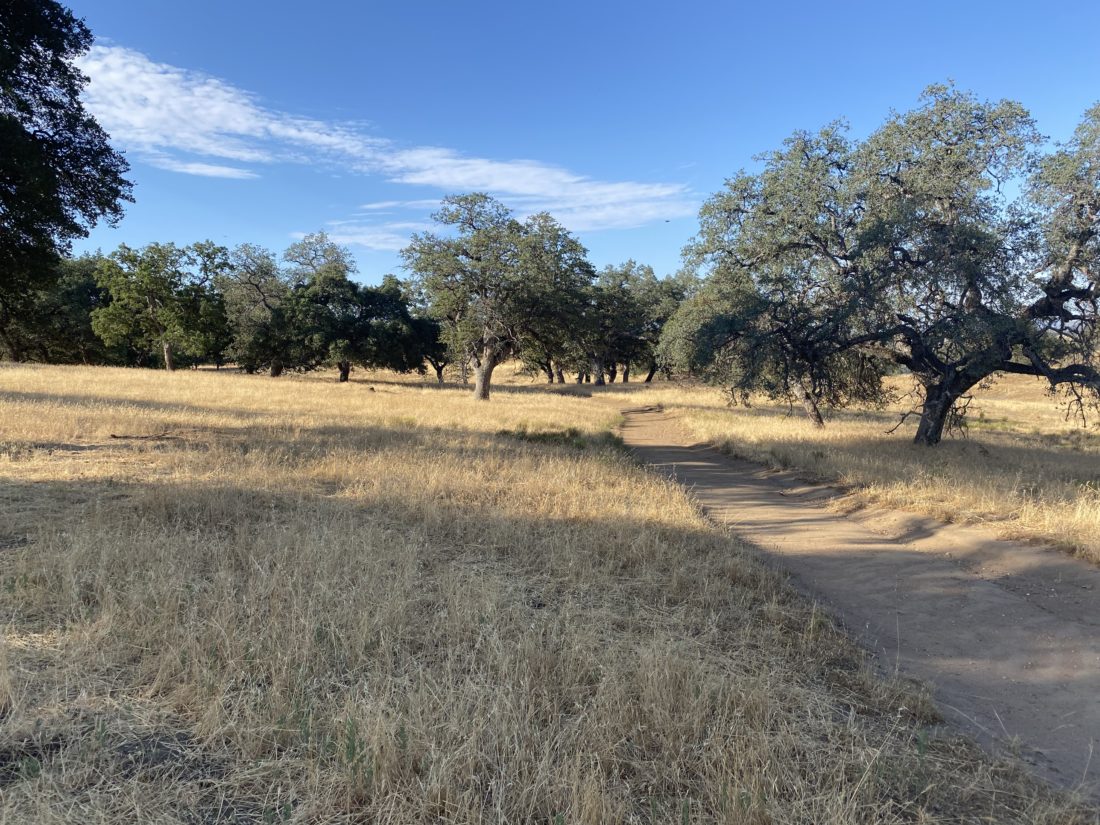
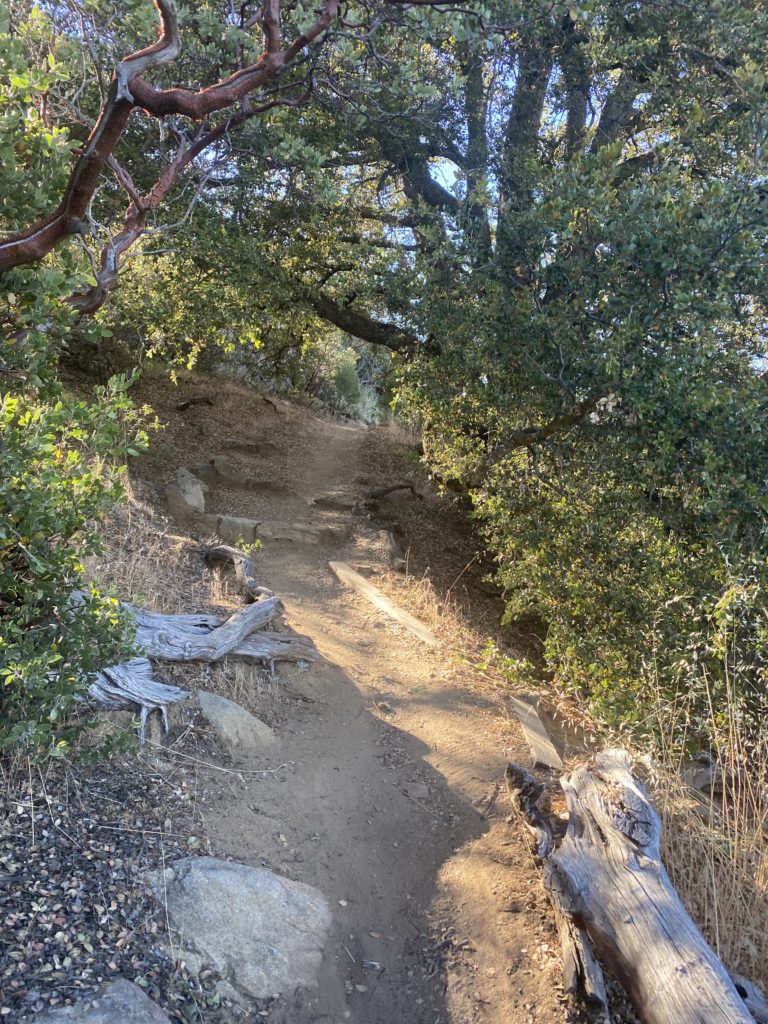
I began the steeper section of the hike up and around Coulter Peak. It was there I caught the two hikers from the minivan. We chatted while they were catching their breath. I let them be and continued on. The chute was in pretty good shape, although you could see that one rock had moved and was stopped by another. From there, just a few minor ups and downs to the summit. Along the way, I stopped at one of the possible campsites to examine more closely possible places to pitch a tent. There were about 2-3 that looked pretty good.


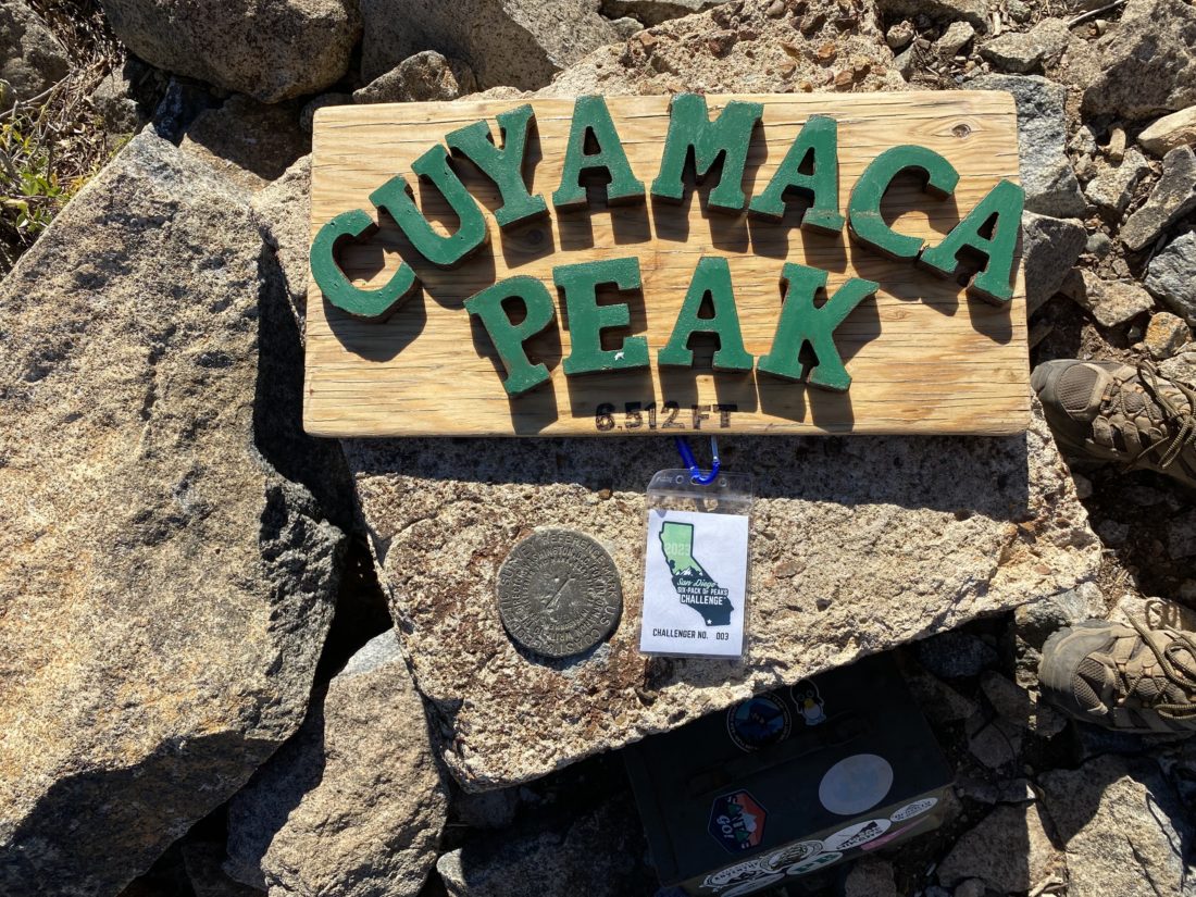
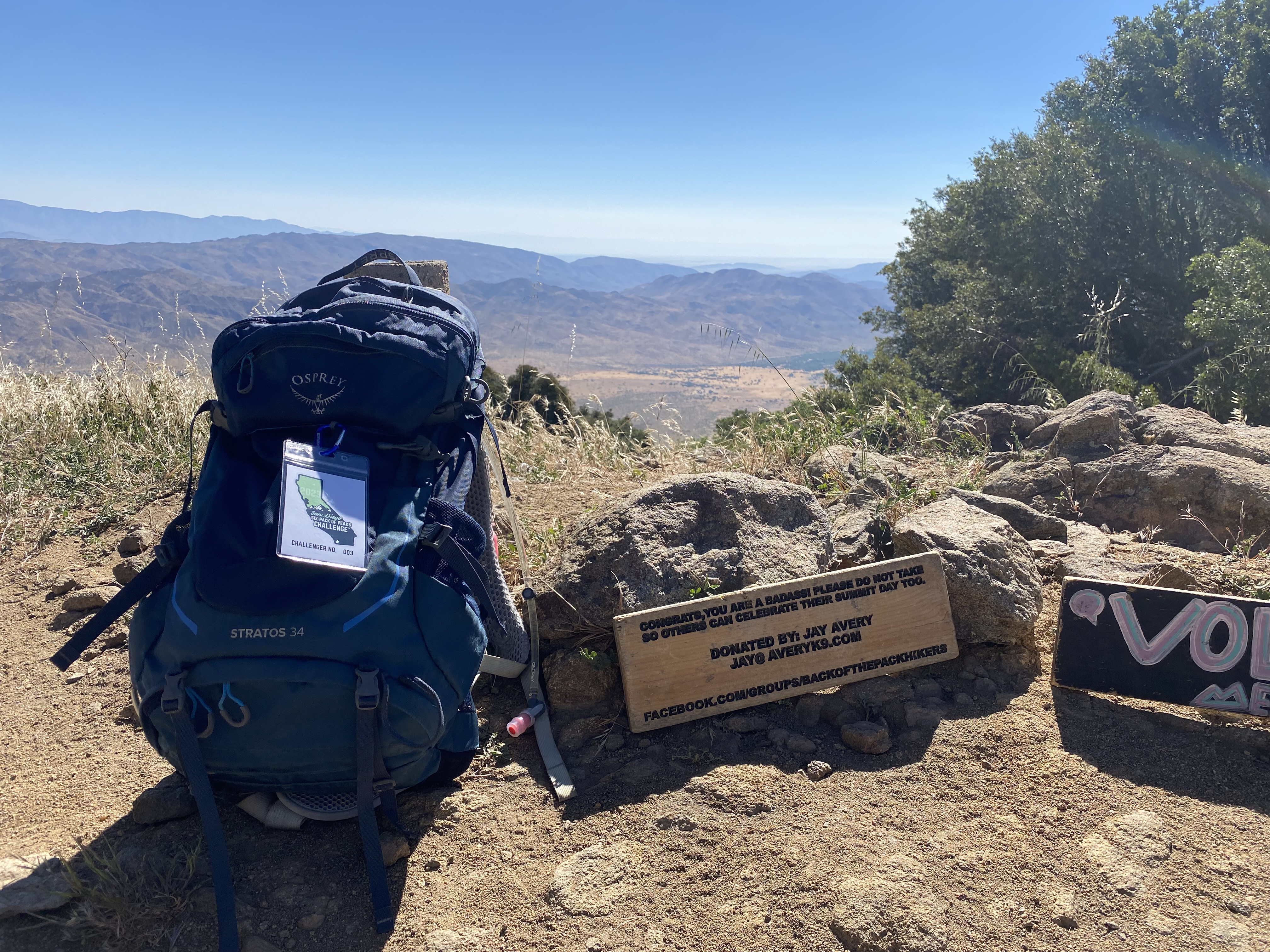
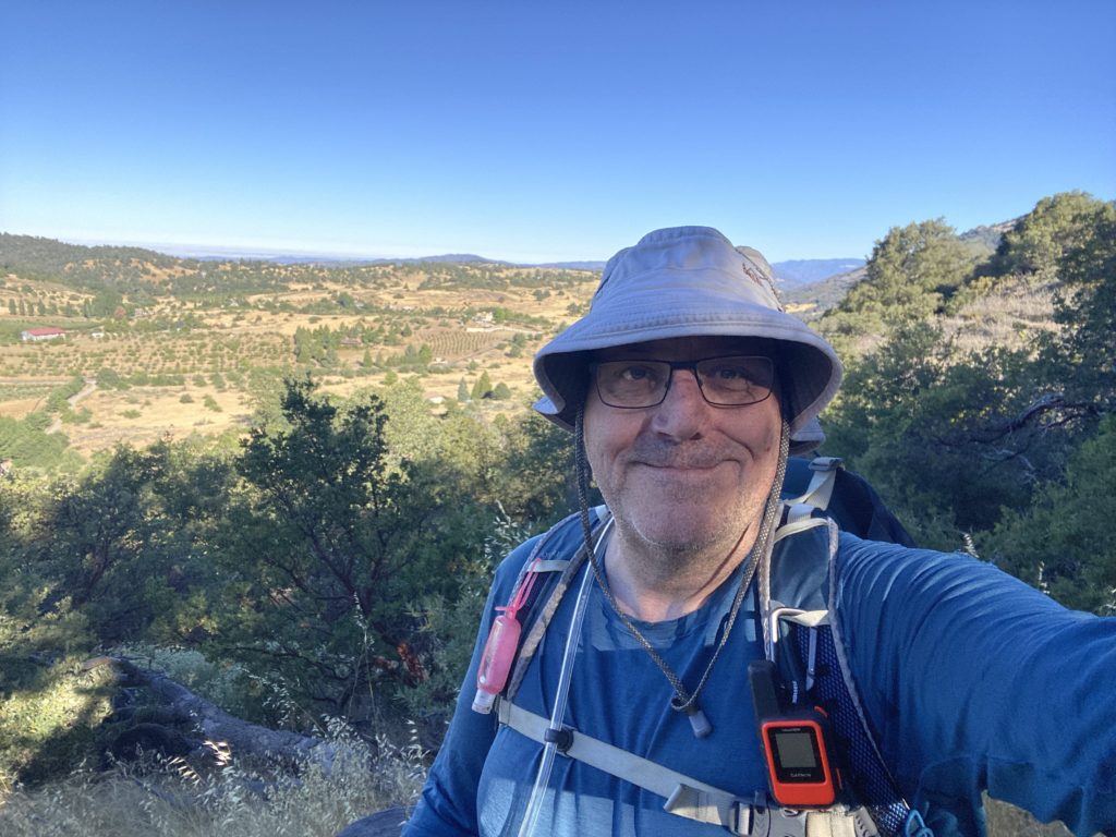
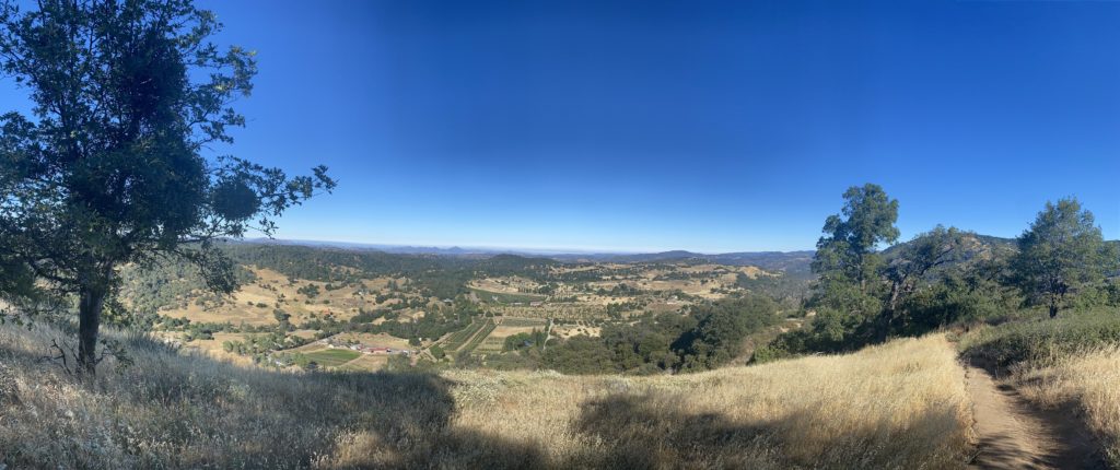
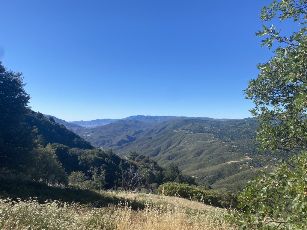
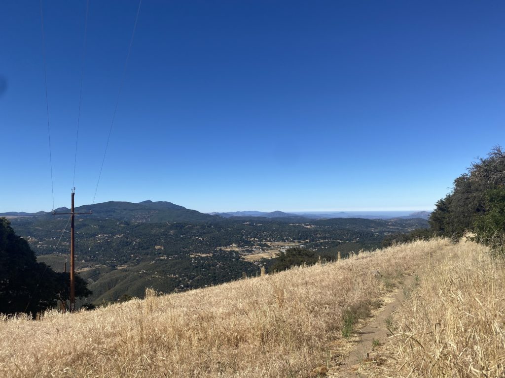
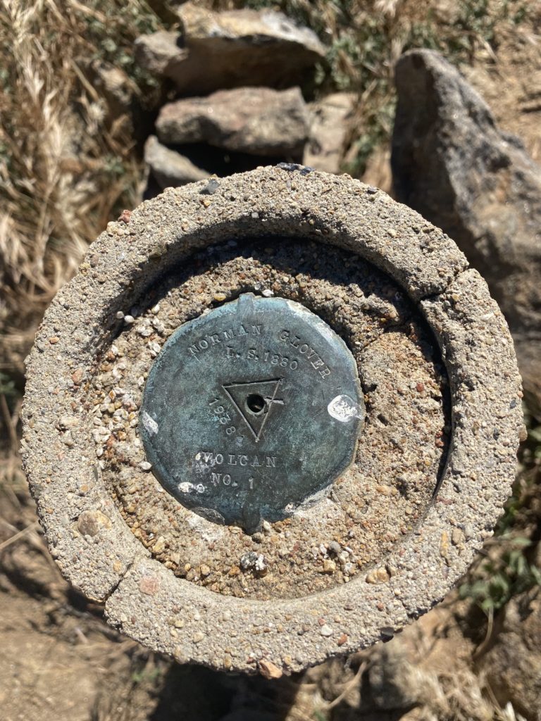
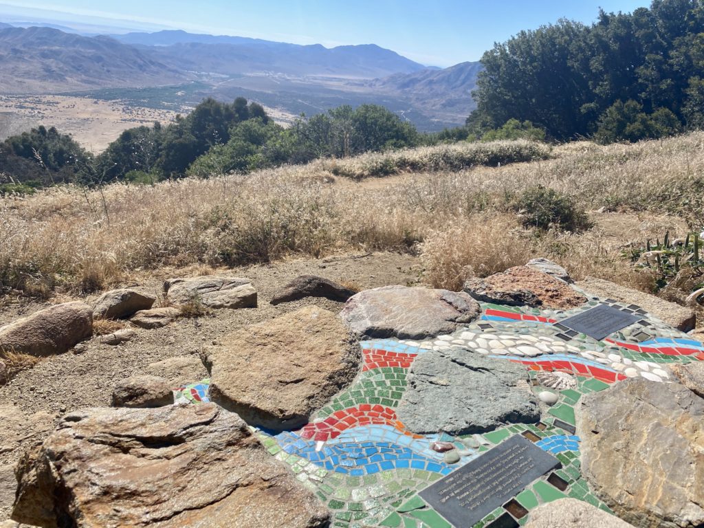
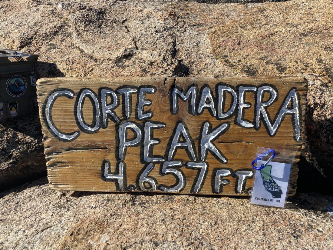
I got to the summit, my pants and shirt a little damp from brushing against the vegetation. I snapped a few photos and had a snack and some well-earned water. About 15 minutes later, the two hikers joined me. We chatted a bit, and I helped orient them to the surrounding peaks. I bid them farewell, as I went to try to find one more possible campsite. Just off the main trail, I spied the clearing and went over to survey it. It also had about two possible spots to pitch a tent. It was very close to the summit, so it might be the one I opt for when I do this hike as an overnight.


On the way back down, I passed several more hikers making their way to the summit. Once back on the Espinoza trail, my main goal was not to slip on the mud and have to deal with that. Thankfully, my footing was solid the whole way. As I cruised down the road, I could hear the occasional jet flying high overhead en route to San Diego. Then I thought I heard a small engine overhead. Nope, it was a Nissan Maxima behind me. One of the residents was driving out. I stepped aside and he drove slowly past. I caught up to him just as he was closing the gate behind him. I asked about the sign onto the Espinoza trail–did that many hikers miss the turn? He replied, “more than you think”. We chatted a bit more and he headed into town for groceries and a stop at the library. I tossed my gear in the car and headed home. One more summit to go and I will finish the San Diego Six Pack of Peaks! I clocked 6.7 miles with a moving time of 3:11.


I am an avid peak bagger, sometimes backpacker, and former sea kayaker living in San Diego. I am the co-author of Urban Trails: San Diego, coming in Spring 2026!
In 2019, I became the third person to complete the San Diego 100 Peak Challenge. Not stopping with that accomplishment, I set my sights on the harder San Diego Sierra Club 100 Peak list, which I completed in 2021. In addition, I have conquered several Six-Pack of Peaks challenges (SoCal, San Diego, Central Coast, and both the Arizona-Winter and Arizona-Summer).
I am looking forward to exploring new summits and new adventures across the southwest.