Hiked: March 15, 2020
Summit: 6,130 feet
Distance: 13.2 miles
Elevation Gain: 3,520 feet
Round Trip Time: 5 hrs 45 mins

Our plan for the day was to drive out toward the Schoepe Boy Scout Reservation and hike out to Collins and Knob Benchmarks. This hike was going to be somewhere between 11 and 12 hours, so an early start was in order. We met up at the McDonald’s in Rancho Bernardo around 5 am and headed north toward Temecula. From there we would come back down the 79 to Chihuahua Valley Road then onto Lost Valley Road. As we drove on the dirt road, we encountered a closed gate. Crud. Although it was not locked, we opted not to proceed, as I had hit a few muddy spots already.
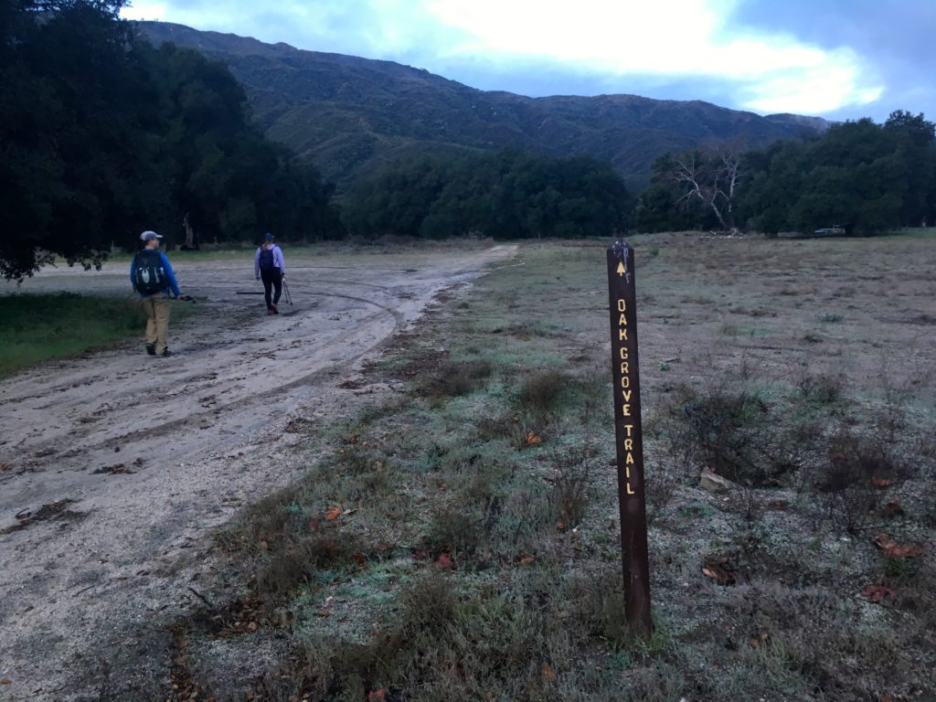
So, we thought about what alternate peaks we might go for instead. Both Matt and I needed to summit Palomar High Point for our respective lists, so up the 79, we went. Parking near the Oak Grove Fire Station, we geared up and headed off, following the nearby sign to the Oak Grove Trail.

Quickly the trail began its sharp climb, gaining about 1,500 feet in just under 2 miles. The trail was a little muddy in some spots, but nothing troublesome. With the cloudy skies, there was no worry about getting too warm from the lack of shade.


The single-track trail then connected with the Oak Grove Fire Road. We took a short breather here before continuing. We stayed on this road for about 1.5 miles until we reached the High Point Truck Trail. Along the way we caught some great views of the snow-capped peaks of Mt. San Gorgonio and Mt. San Jacinto to our north. While not as steep as the first section of this hike, you still will be working those quads!


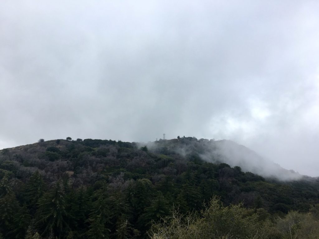
After about 5 miles into the hike, we reached the junction with the Palomar Divide Truck Trail. It was near here that I had parked on my previous times to the summit, so the rest of the hike was familiar. We started getting closer to the summit and the clouds were getting closer as well, so we donned another layer before continuing to the summit.

As we rounded the final section of the hike, we could feel the wind pick up and knew that we would not be lingering at the summit. We took a short break for some food and a few photos. The white domes of the Palomar Observatory were to our west. The tower was closed for the season (you can’t go up even if it is open).


We retraced our route back down the mountain, encountering several other hikers making their way up to the summit. I don’t think we stopped for any measurable period of time during our entire descent. Back in the car, we wondered when we might be able to try for Collins and Knob, given the forecast for the week and the uncertainty about Covid-19. With that said, we did the 13.2 miles in 5:45 hrs. That was the first peak toward my Six-Pack of Peaks Challenge. I am aiming to complete all 18 this year. Wish me luck!
I am an avid peak bagger, sometimes backpacker, and former sea kayaker living in San Diego. In 2019, I became the third person to complete the San Diego 100 Peak Challenge. Not stopping with that accomplishment, I set my sights on the harder San Diego Sierra Club 100 Peak list, which I completed in 2021. In addition, I have conquered several Six-Pack of Peaks challenges (SoCal, San Diego, Central Coast, and Arizona-Winter). Beyond attempting the San Diego Sierra Club 100 Peak list a second time, I am looking forward to exploring new summits and new adventures across the southwest.


3 thoughts on “Palomar High Point (via Oak Grove)”