With the stay local restrictions still in place, I decided to explore some of the local peaks listed in the Near By tab of Peakbagger: Santa Monica Ridge, Low South Benchmark, Peak 557, and Sol Benchmark. Since my knee was still not at 100%, these should be perfect to test it out. First up was Santa Monica Ridge, which is located in the Del Mar Mesa Preserve. Odds are I probably have been here, as this is one of my favorite ways to enter Los Peñasquitos Canyon. But for the sake of certainty, I decided to hike out to it.
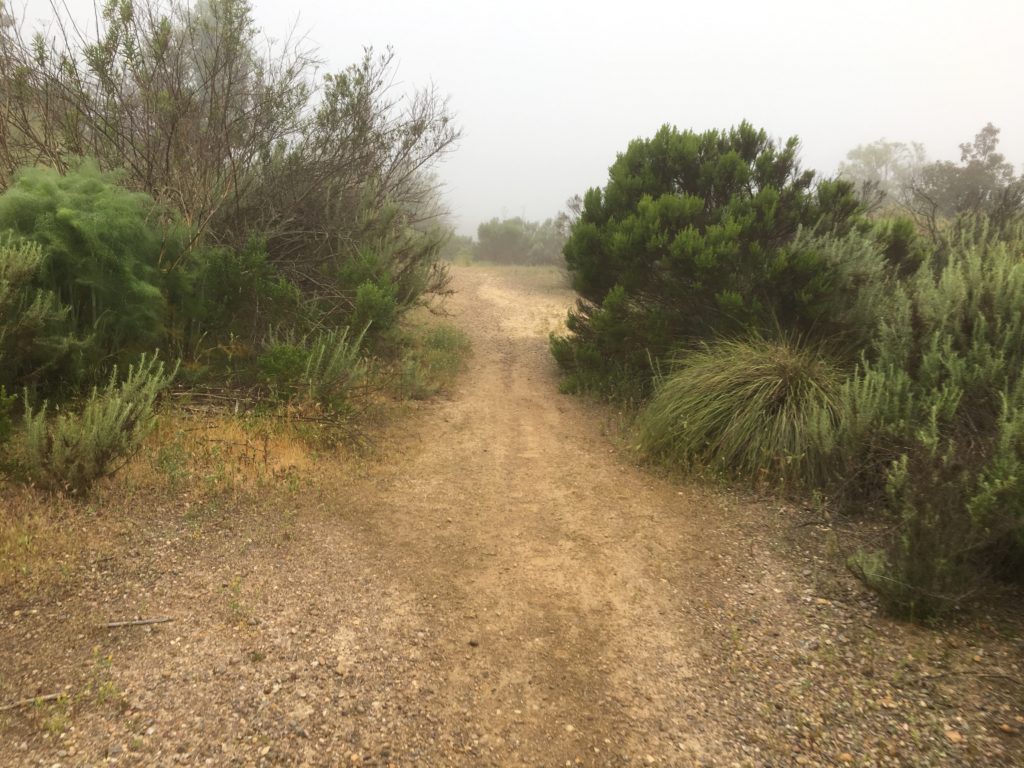
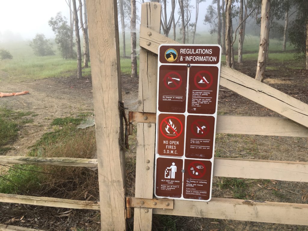
The morning fog still hung over me as I quickly worked my way to the top of the bump. There is no cairn or other mark to denote it, so I took a screenshot of my location atop the mark and returned to my car. An older couple was just entering the trail, so I let them pass before passing through the gate.
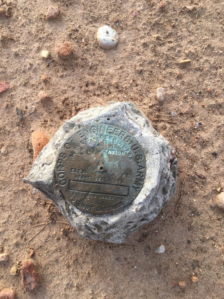
Next on the list was Low South Benchmark, near Fairbanks Ranch. I drove by this every day coming home from work. I found a parking spot and headed up the trail. After a short stroll up the hill, I reached where the benchmark should be. And there, under the power line tower, it was.
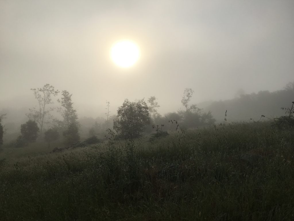
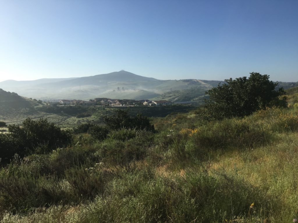
Snapping the photo and headed back down, the sun was starting to burn off the fog as I headed for my third destination, Peak 557.
Parking on Artesian Road, I headed down the service road for the SD aqueduct. This peak would have some actual hiking involved, so I was looking forward to it after the two quickies earlier. Crossing the flowing stream, I left the service road behind and headed down the Del Sur Lusardi Connector Trail. Shortly I crossed back over the creak and started climbing up to the summit of peak 557. Some jumps had been added to the trail, so I kept my ears open for any mountain bikers. I did encounter a couple coming down the trail. Sadly they were not wearing any masks.


I found myself at the summit. There is nothing to denote it, so a photo would have to do. I decided to make it a loop of sorts. The fog had mostly lifted, and Black Mountain stood clearly to the southeast.
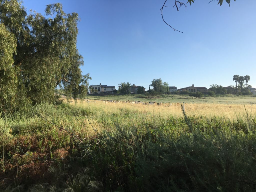
Soon I was passing the sheepherder’s trailer on my way back to the car. Yes, sheepherder. Their sheep used locally to control the grasses and wildfire danger.
The final summit of the day was Sol Benchmark. This little bump sits to the north of Bernardo Center Drive. I pulled off on Camino Crisalida. and parked. Crossing the oddly quiet road, I headed up the dirt service road. Eventually, this rutted road ends and transitions to overgrown singletrack. The trail drops down a ravine before climbing out of it and rejoining the service road. From here a trail leads to the summit. Once there I scoured the brush to see if I might find the Benchmark. But like the others, came up empty.


I decided to turn this hike into a loop. I worked my way down the hill toward the homes to the west. Unfortunately, there is not a trail connecting to the street. I followed a rain gutter for a while before pushing my way down to the street. With that, the ‘fun’ part was over and after about a quarter mile I was back at the car. Another near-by crossed off the list.


I am an avid peak bagger, sometimes backpacker, and former sea kayaker living in San Diego. I am the co-author of Urban Trails: San Diego, available now!
In 2019, I became the third person to complete the San Diego 100 Peak Challenge. Not stopping with that accomplishment, I set my sights on the harder San Diego Sierra Club 100 Peak list, which I completed in 2021. In addition, I have conquered several Six-Pack of Peaks challenges (SoCal, San Diego, Central Coast, and both the Arizona-Winter and Arizona-Summer).
I am looking forward to exploring new summits and new adventures across the southwest.