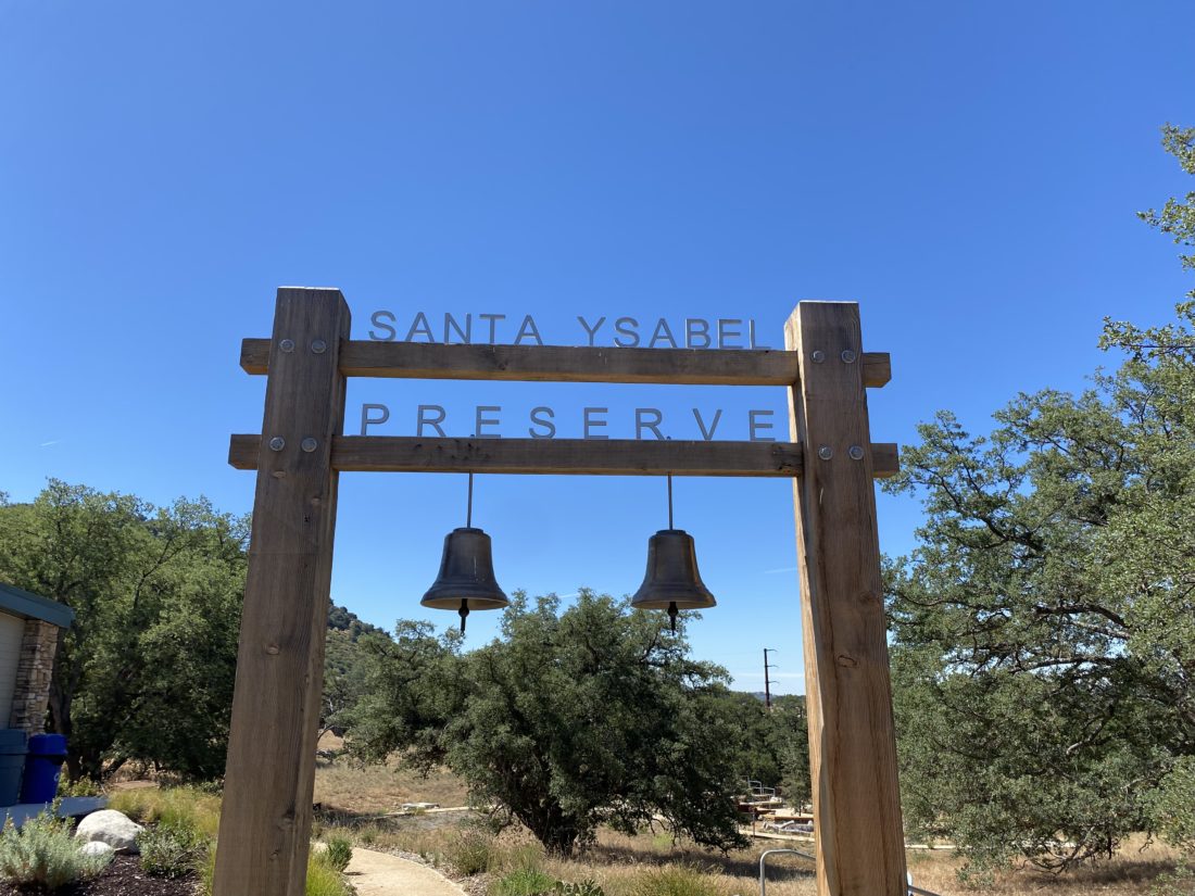
Decided to return to the Santa Ysabel East Preserve and hike the Kanaka Loop again. Two fellow peak-baggers had just hiked this as part of their attempt to do the Julian Hiking Challenge in a day. One of the issues they ran into was the gate to the parking area doesn’t open until about 8 am. Since it was Labor Day, I had no problem “sleeping in” before driving out to the trailhead. As I made my way onto Wyola Road, I spotted the County Park Ranger’s truck two cars ahead of me. Passing the trailhead for Volcan Mountain, there were already about 15 cars parked along the side of the road. The ranger unlocked the gate, and I followed him in. I gathered my gear, then chatted with the ranger for a bit before heading off.

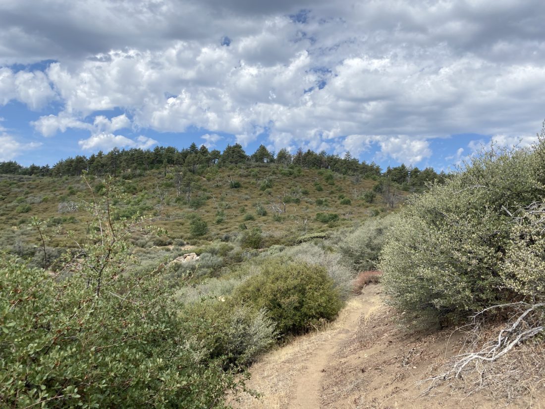
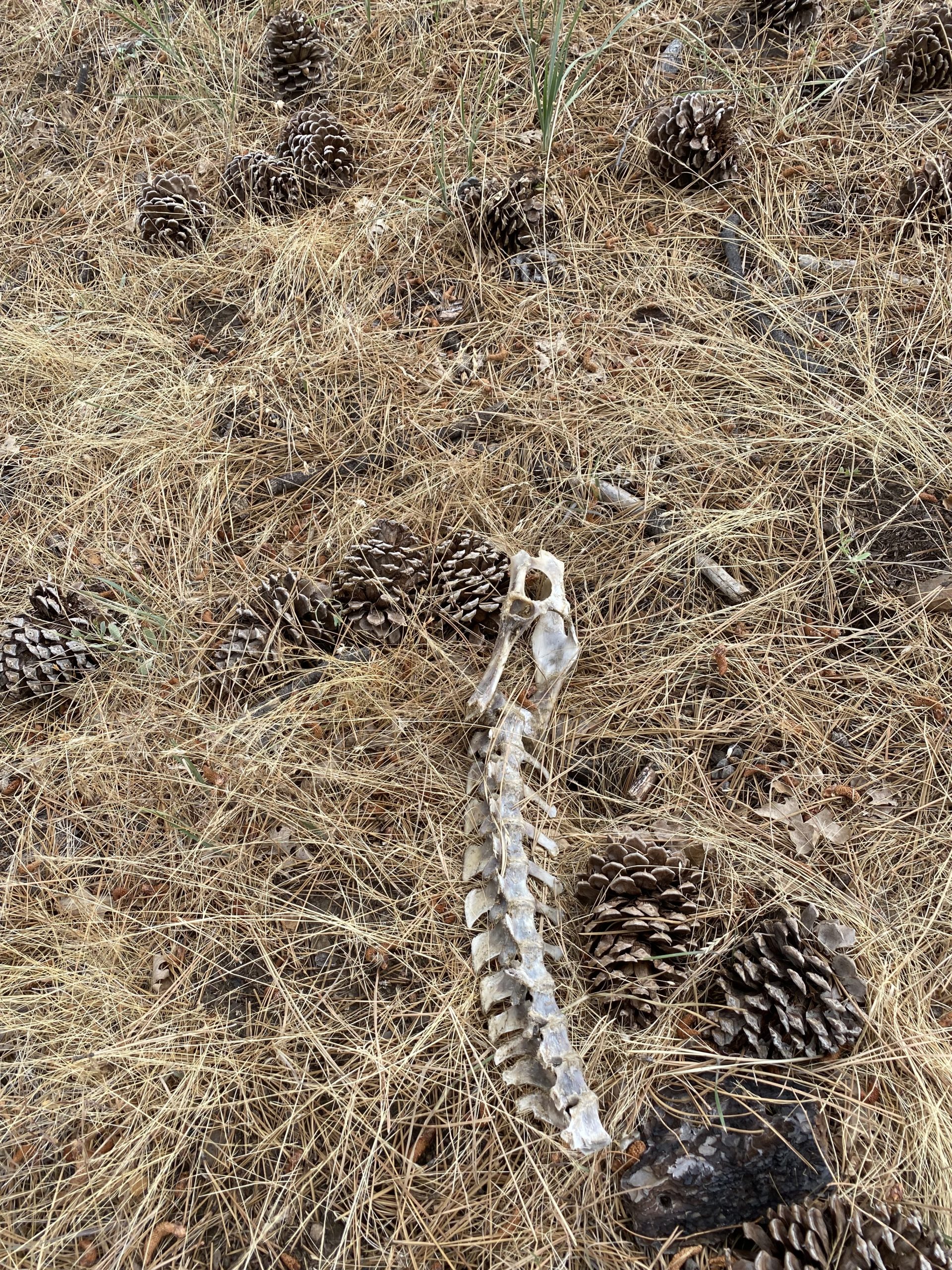
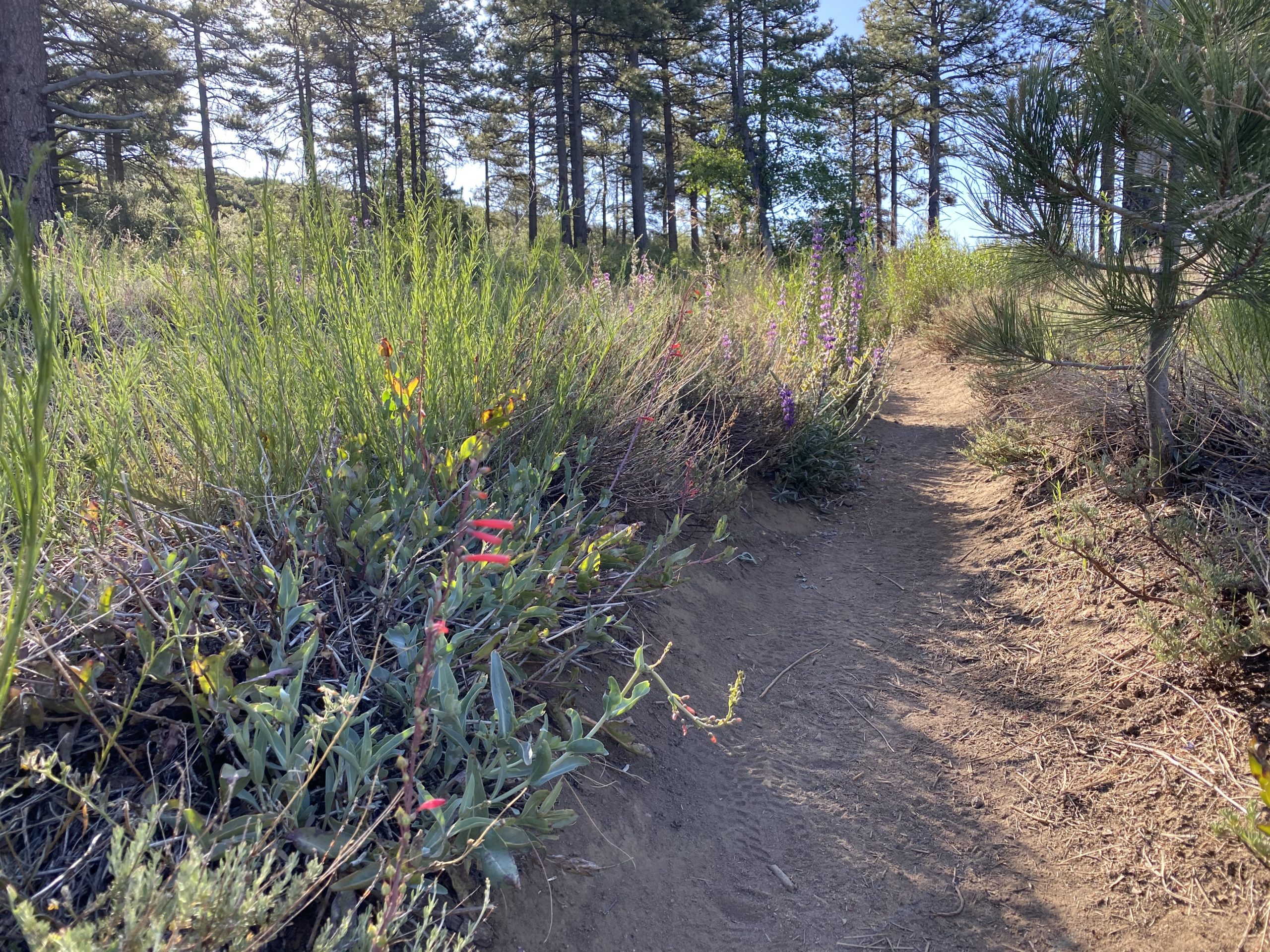
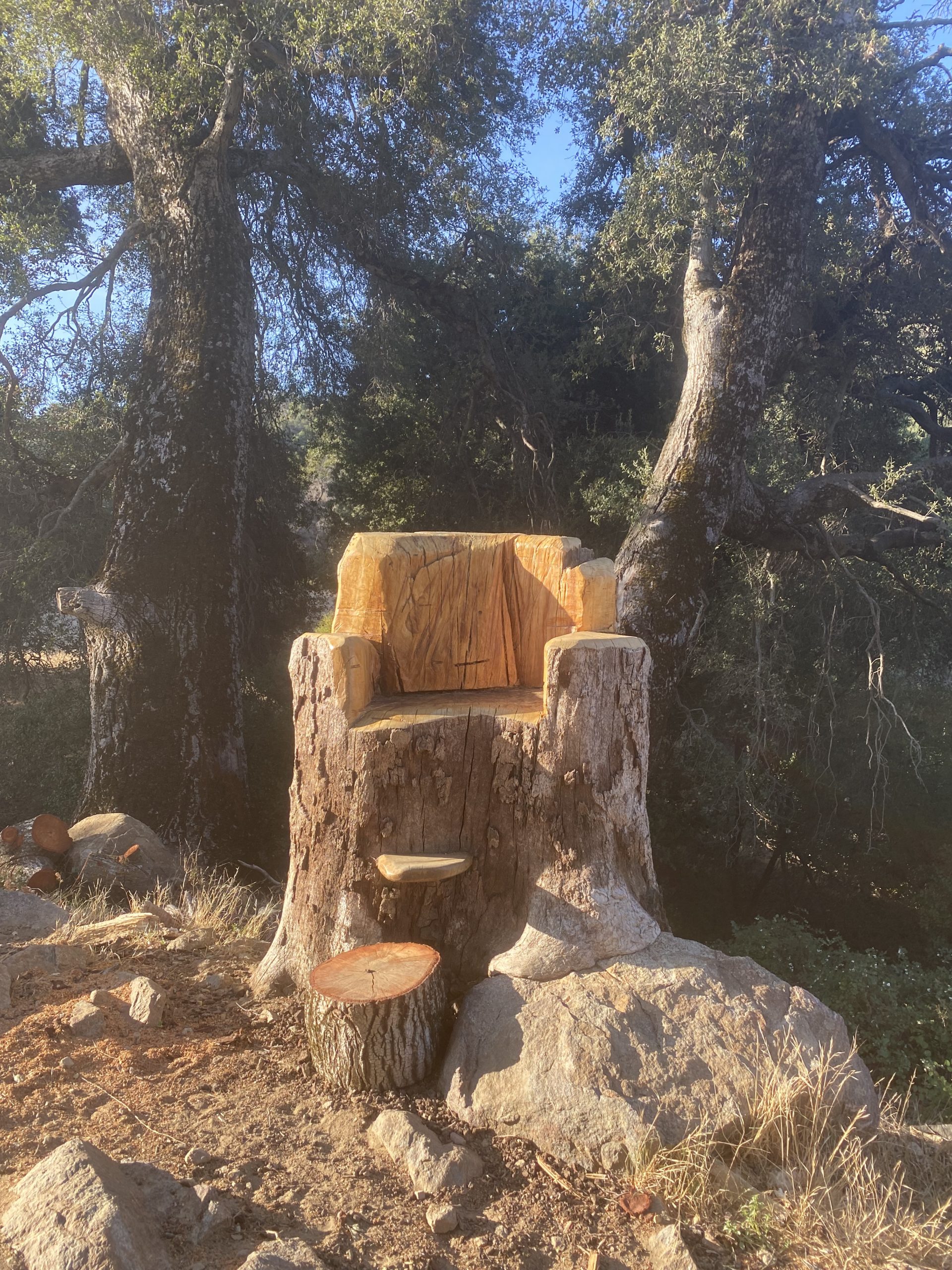
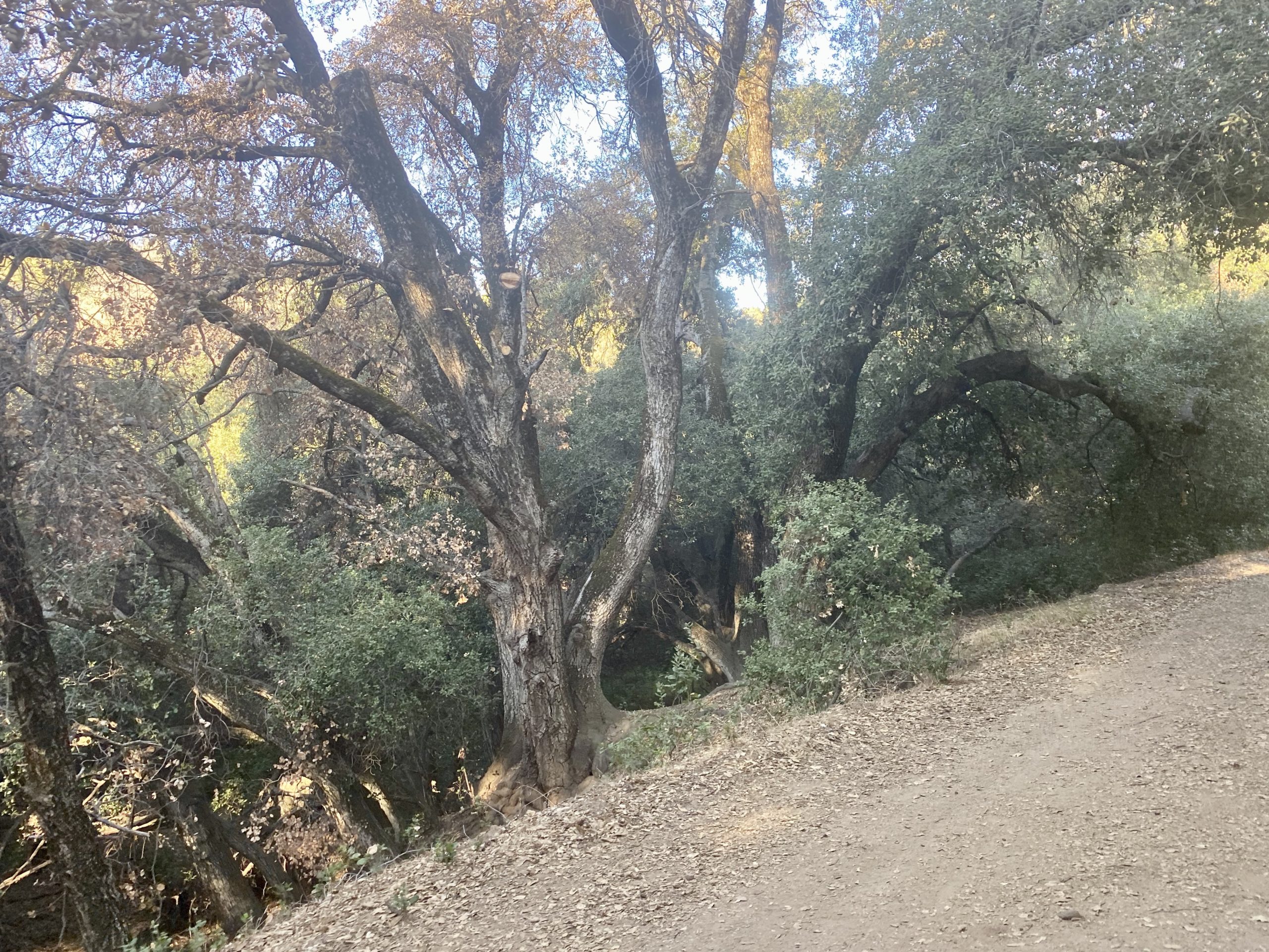
The trail initially follows Santa Ysabel Creek for the first 1.5 miles. A few cows milled about chopping on the dried grasses. The trail would duck in and out of the shade from the oak trees. There were some bugs buzzing about. Initially, I ignored them, but I finally stopped and broke out the bug net. Along the way, a new throne had been created from the stump of a fallen red oak.


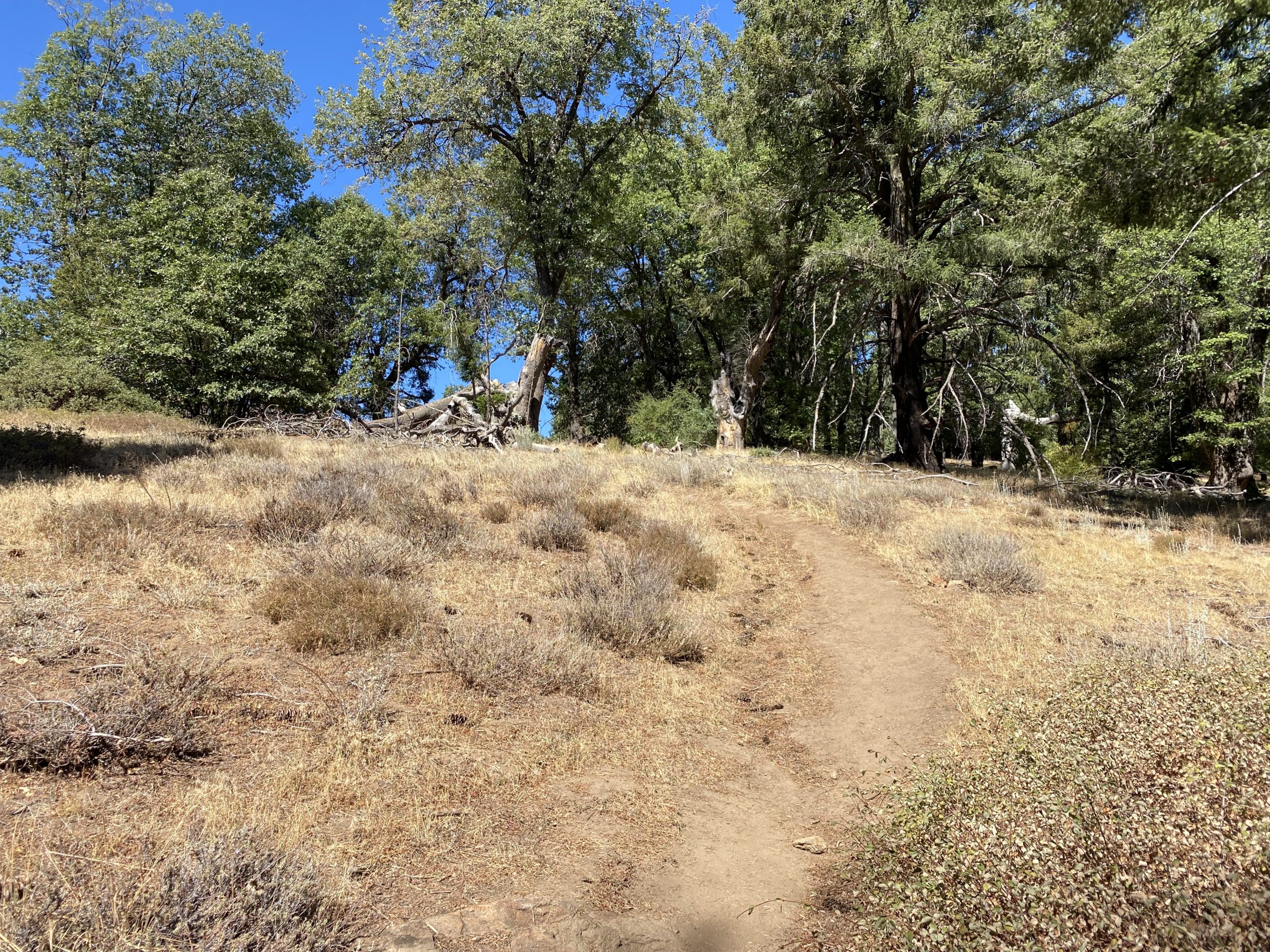
I crossed over the creek and began the climb up to Kanaka Flats. The trail climbs about 300 feet in just under 7/10ths of a mile, so you will get a nice workout after the relatively flat first section.

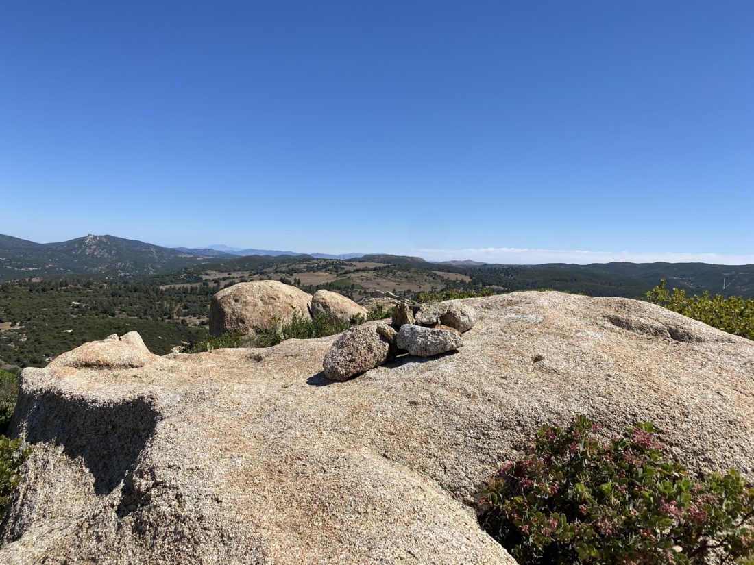
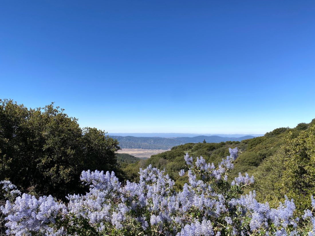
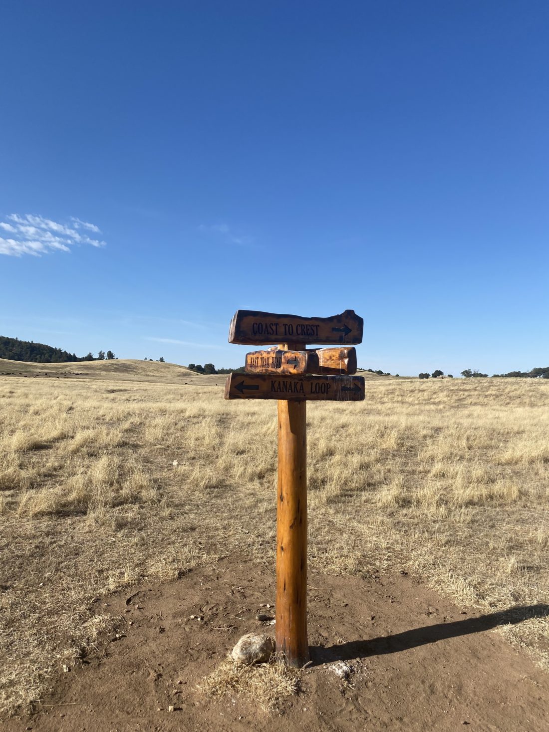
The Kanaka Loop is about 2.5 miles in total. I debated if I want to go clockwise or counterclockwise. I opted to go clockwise. This meant continuing to climb a bit more to the high point on this trail. Once near the selfie spot from the Coast to Crest Challenge, I found some shade under some nearby pines and took a short break. The day was getting warm and for much of the loop, there was going to be no shade.


After the break, I set off again. I was surprised I had not seen any more cows. As I approached the western end of the loop, I saw two ranchers tending to the herd that was currently corralled. I guess that answers that question about where the cows were. I gave a friendly wave to the ranchers and continued on.


As I descended back down to the creek, I kept an ear out for the ranchers, as I knew they would be driving back out. At the creek, I spotted the bridge just to the west of where I crossed, so no need to rock hop this time.


The hike back to the car was uneventful. One runner and two e-bike riders did pass me. The day certainly was heating up, and the idea of getting in a second hike quickly was dismissed. The heat also stopped my friend’s attempt as well. Back at the car, a family was just about to head out and asked if I had any sunscreen, which I was glad to lend to them. They were hoping to still find some berries to pick. I wished them good luck and to be mindful of the heat. I popped into Don’s Market and grabbed a cold soda and headed home. All told the hike was just over 7 miles with 994 feet of gain. I did the lollipop at 2:37 including my break.


I am an avid peak bagger, sometimes backpacker, and former sea kayaker living in San Diego. I am the co-author of Urban Trails: San Diego, coming in Spring 2026!
In 2019, I became the third person to complete the San Diego 100 Peak Challenge. Not stopping with that accomplishment, I set my sights on the harder San Diego Sierra Club 100 Peak list, which I completed in 2021. In addition, I have conquered several Six-Pack of Peaks challenges (SoCal, San Diego, Central Coast, and both the Arizona-Winter and Arizona-Summer).
I am looking forward to exploring new summits and new adventures across the southwest.