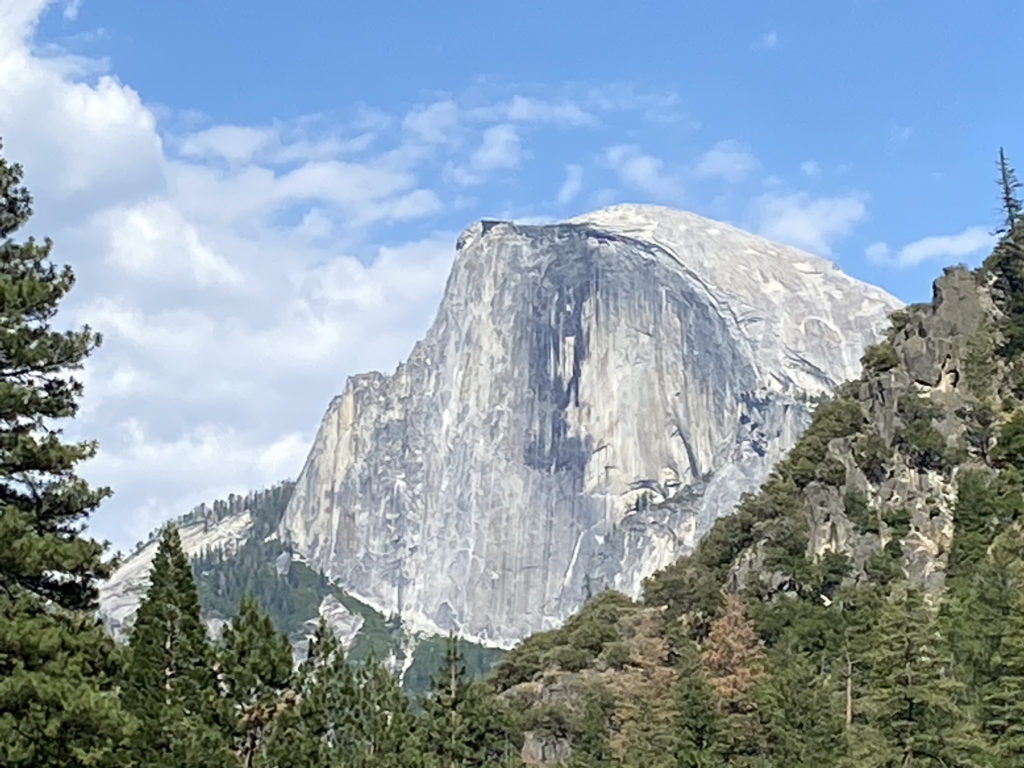
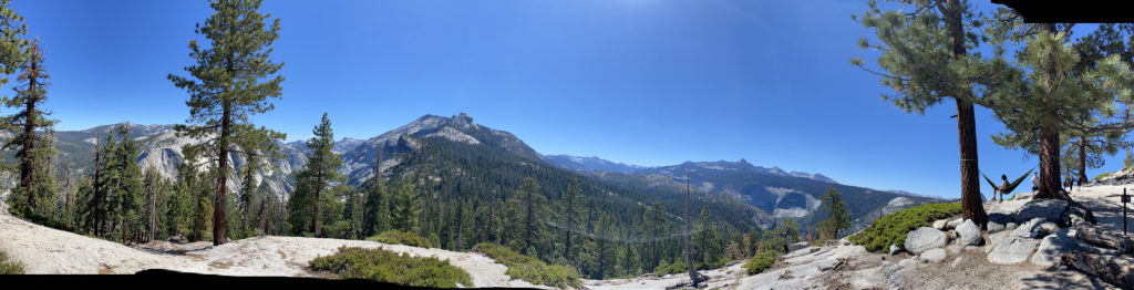
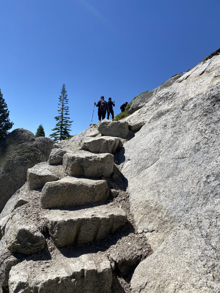
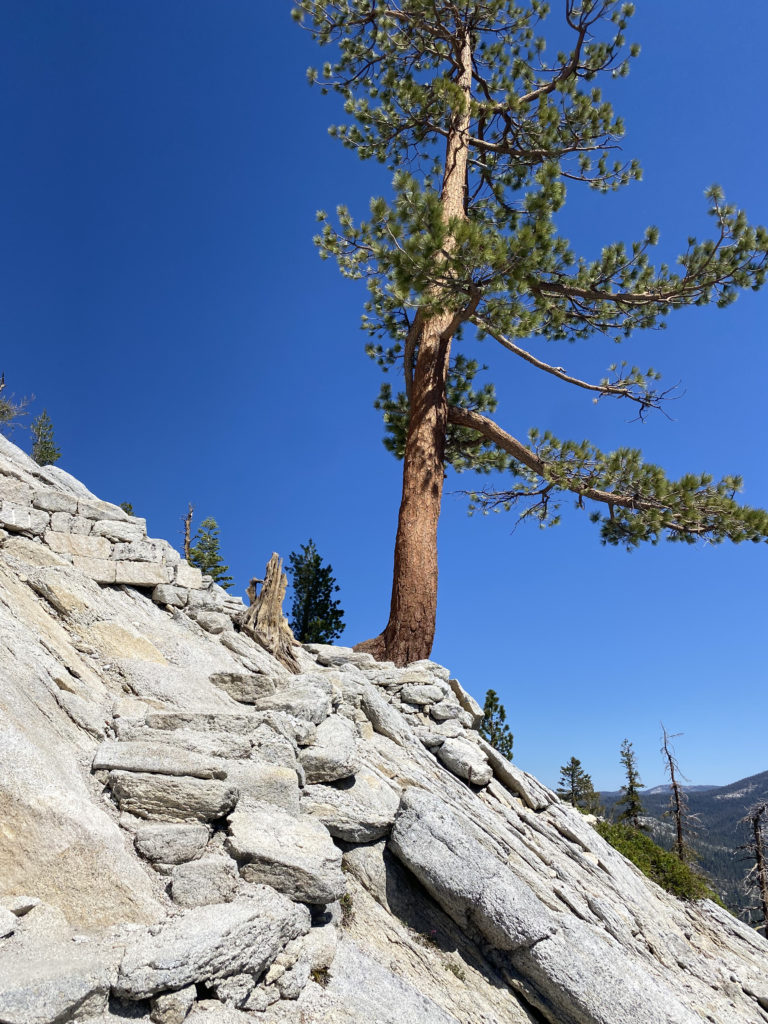
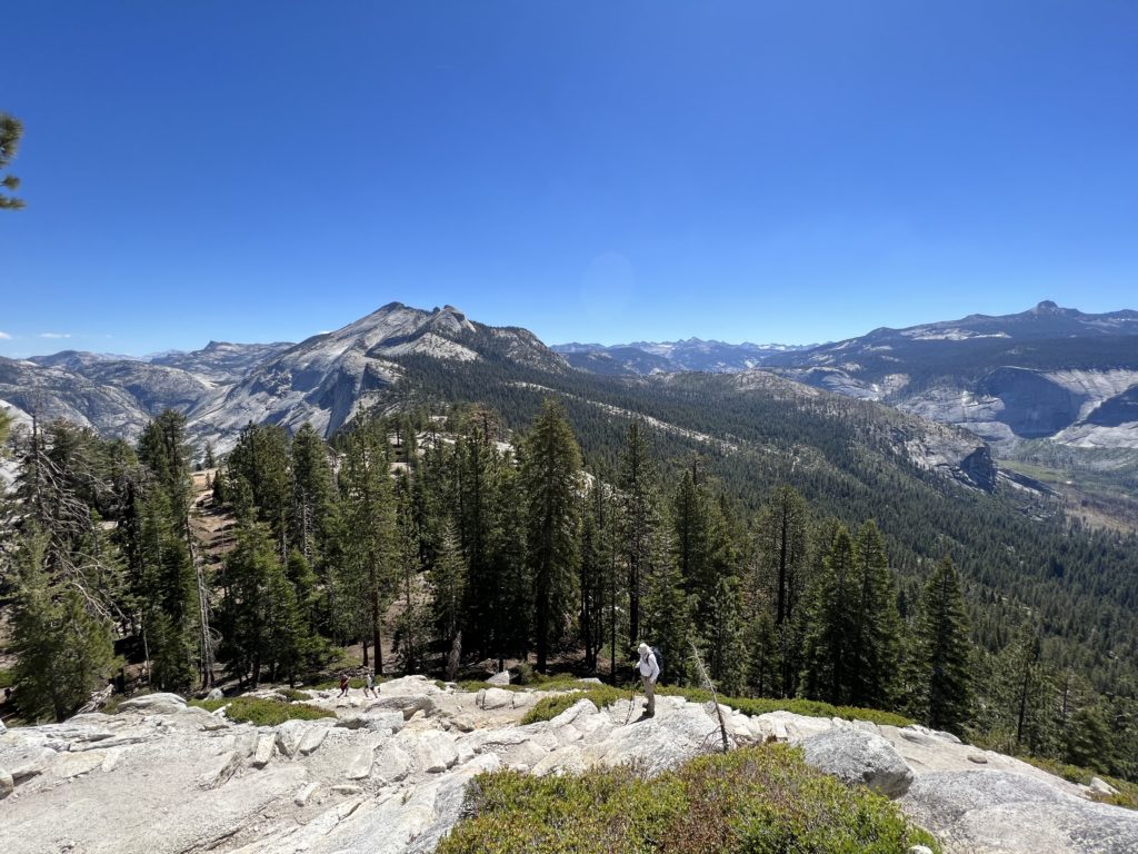
One of my bucket list hikes has been to stand atop Half Dome in Yosemite. I got close in 2018, but having turned my ankle in the dark on the way up, I knew it would not be safe for me to continue past the Sub Dome. Ever since then I have been applying for a permit to attempt the hike again. This year I finally won the lottery and got my permit! Unfortunately, Ted would not be able to join me again as he and his family were at West Point to drop off their son. Susie, however, was free and happily agreed to join me.
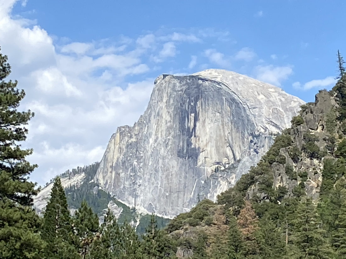
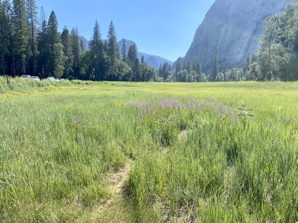
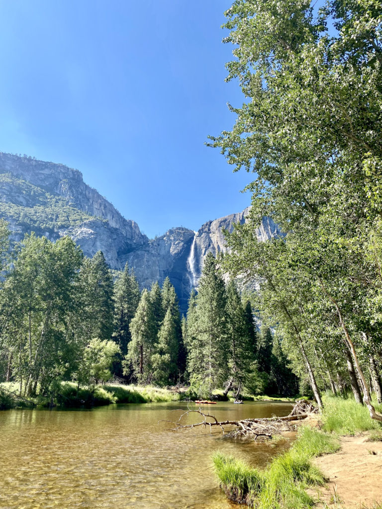
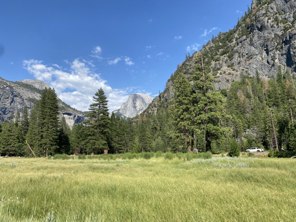
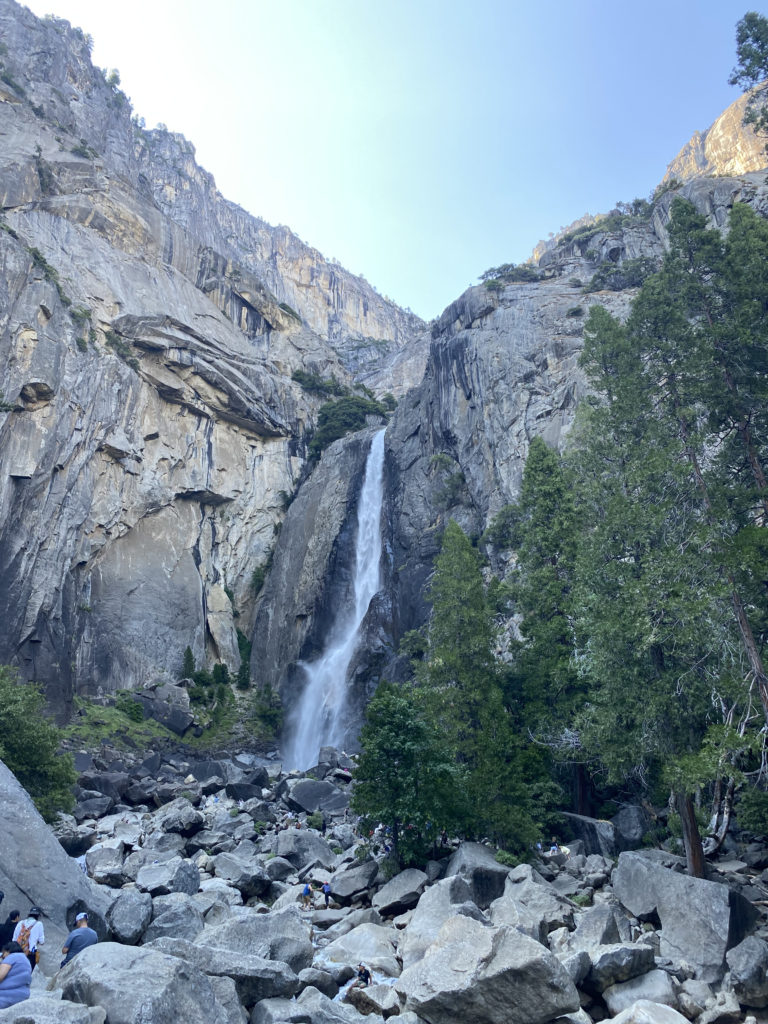
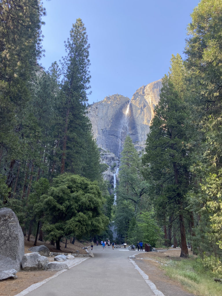
My permit was for Monday, so we drove up to El Portal on Sunday. We left a bit on the early side, mostly to avoid LA traffic. After checking into the motel, we drove on toward the valley. Susie had just purchased new shoes and wanted to get a couple of miles in before the big day. Yosemite is now on a timed entry system, meaning you have to have a reservation between 6:00 am and 4:00 pm to enter the park. As we neared the entrance, we were 7 minutes early. I was hoping the ranger would let us enter, given I did have a permit for tomorrow, but they still made us turn back around. So, we drove back a bit until it was safe to make another U-turn. This time we arrived after 4:00, so I just showed my Annual Pass and drove on in. It was just over 90° F on the valley floor, so we were not looking for anything too adventurous. We found a parking spot with almost no trouble. As we crossed over the valley toward Yosemite Falls, Half Dome stood majestically to our east. Its timeless shape stood lit in the afternoon sun. After taking a nice loop to see lower Yosemite Falls, we returned to the car. Susie said the shoes felt good and gave them the green light for tomorrow’s adventure.
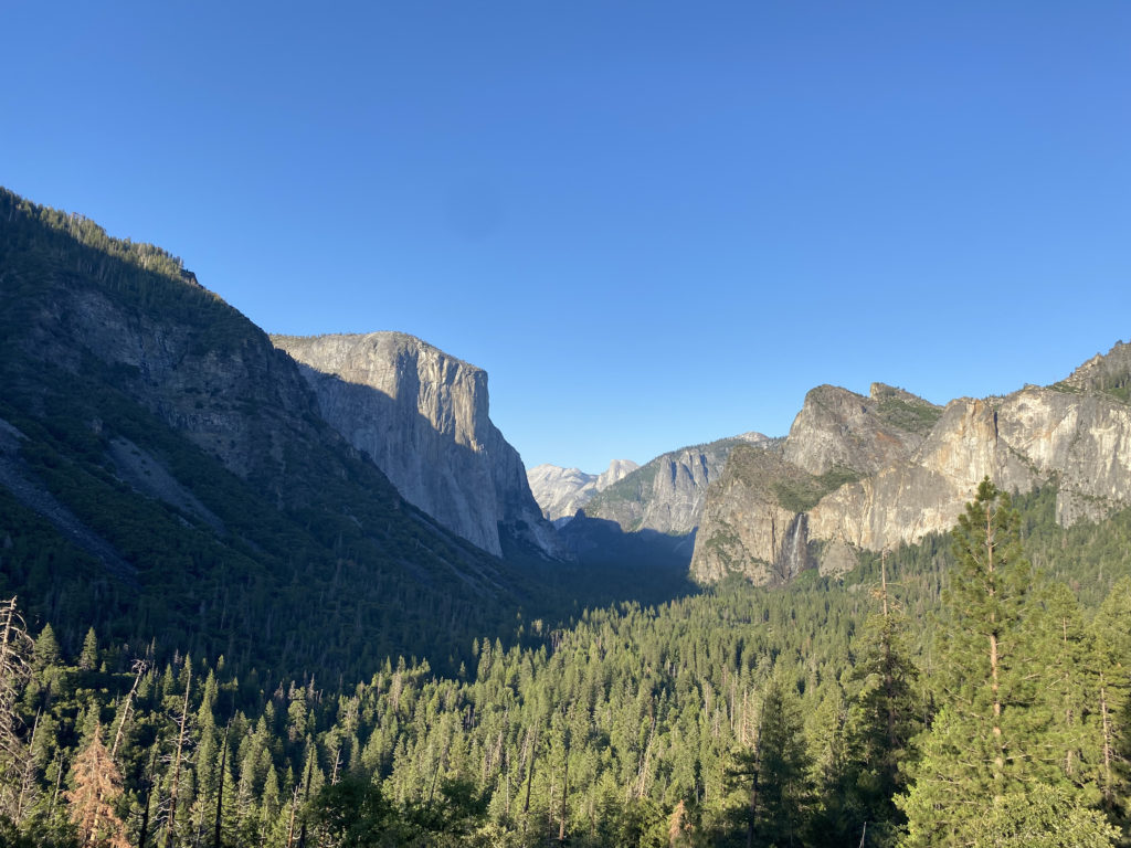
After making a stop at the store to see if there were any souvenirs we wanted, we drove up to Tunnel View to take in that classic vista of the valley. For dinner, we decided to try the new Basecamp restaurant. Unfortunately, both our sandwiches were barely edible. In fact, Susie just ate the fries and the biscuit that served as a bun for her chicken sandwich.
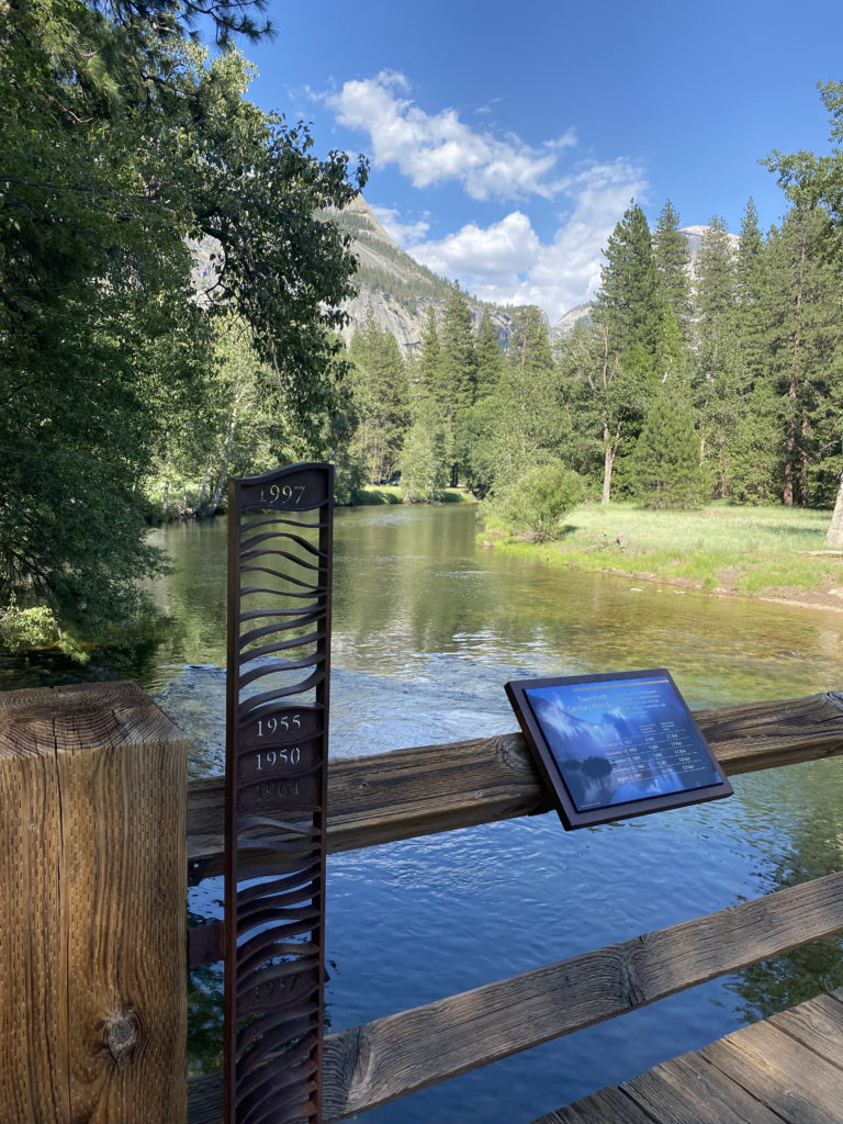
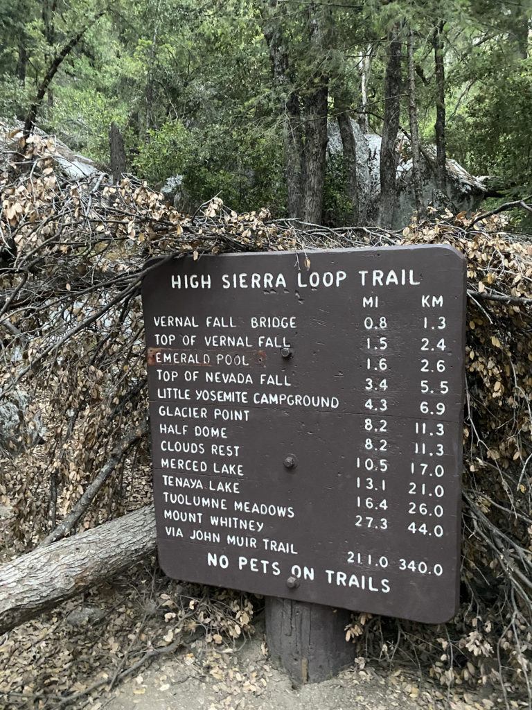
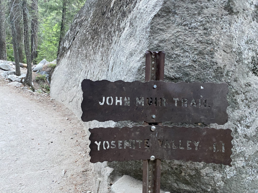
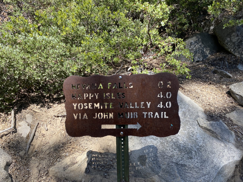
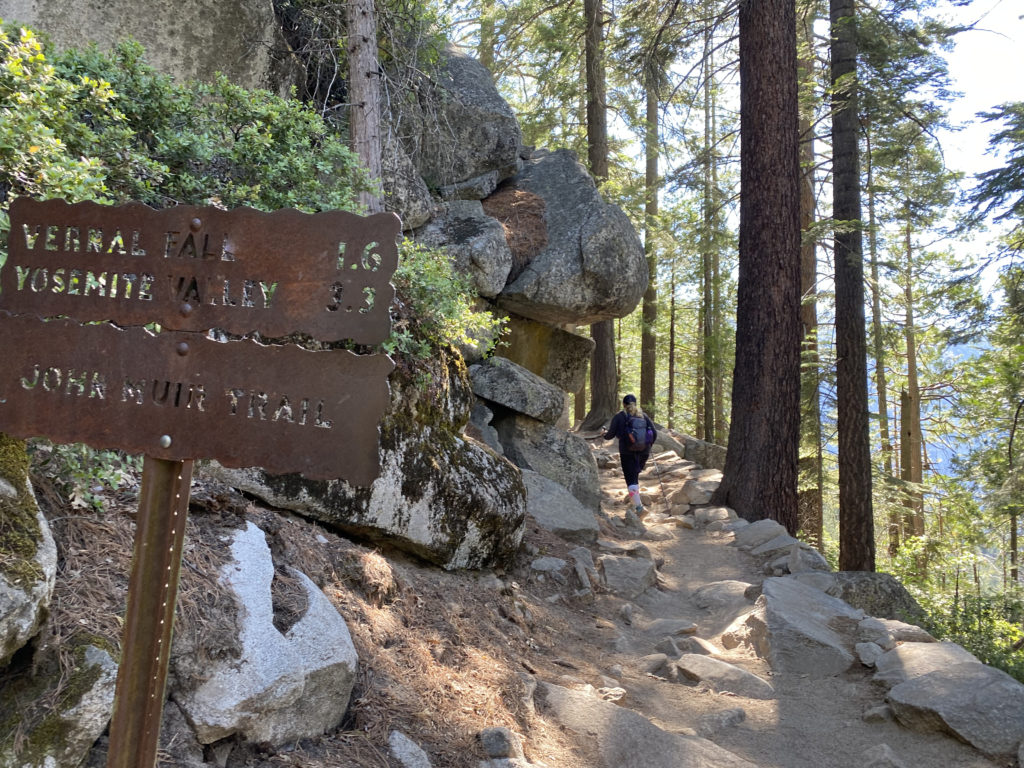
Once back at the motel, we reviewed our strategy for the hike and set an alarm for 4 am. This time I wanted to start in daylight to hopefully avoid any missteps like last time. Another difference from the last attempt was we planned to filter water several times during the hike, which would keep our pack weight down. Given the predicted warm temperature, this probably meant having to carry around 5 liters. The day before, we had stopped in Oakhurst and grabbed some muffins, bananas, and orange juice for our breakfast. I certainly am not going to find my usual pre-hike breakfast of a sausage biscuit and hash browns. The parking lot was about 60% full when we pulled in. As we gathered our gear, I drank down a liter of water to start off nice and hydrated. Once we were ready to go, we set off down the path toward Happy Isles and the start of the Mist Trail/John Muir Trail (JMT). After hiking about 3/10 of a mile, we came to the Happy Isles bus stop and made a quick bio-break here. As we crossed over the stone bridge that spans the Merced River, the hike would now “formally” begin.
Section 1: Mist Trail
The first part of the Mist Trail is a paved, asphalt trail to the Vernal Fall footbridge. While this section is only about a mile long, you do gain about 500 feet, so we made sure to pace ourselves. While I was not thirsty, I had to take a sip at the water fountain, just because. For the rest of the hike, if you need water, you will have to filter it from the Merced or have it already. This is also the last chance for some flush toilets.
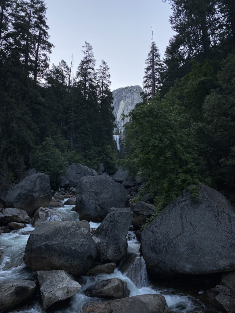
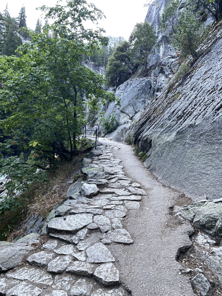
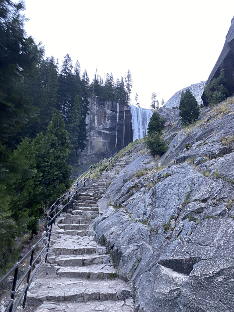
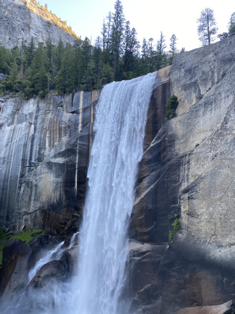
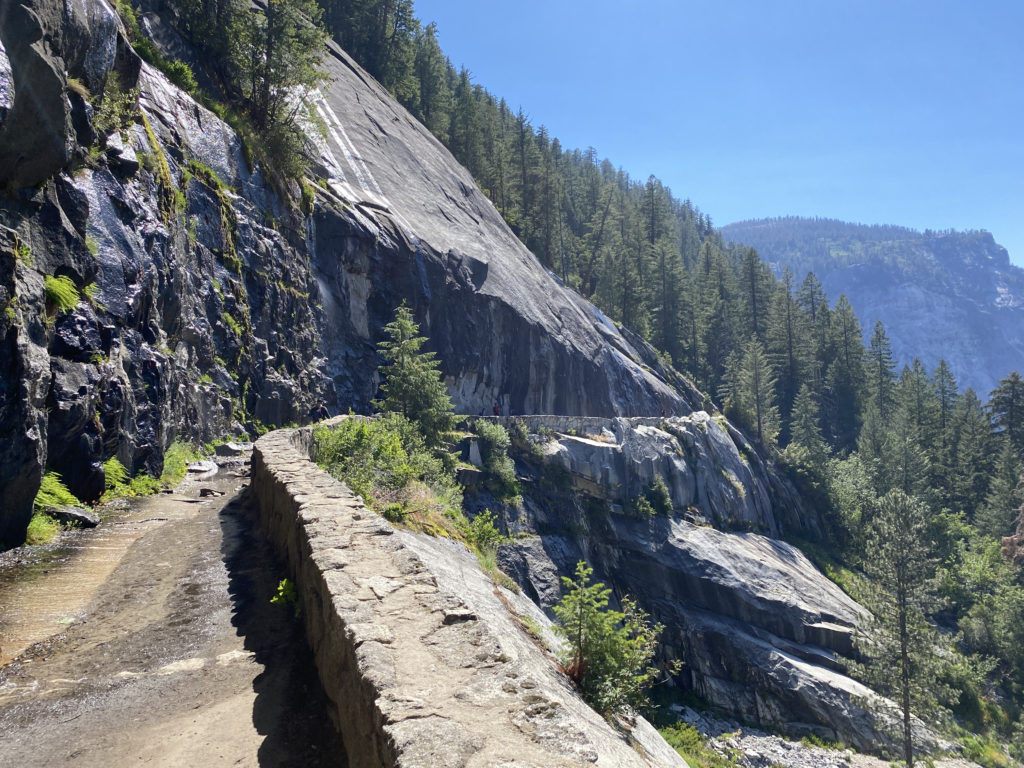
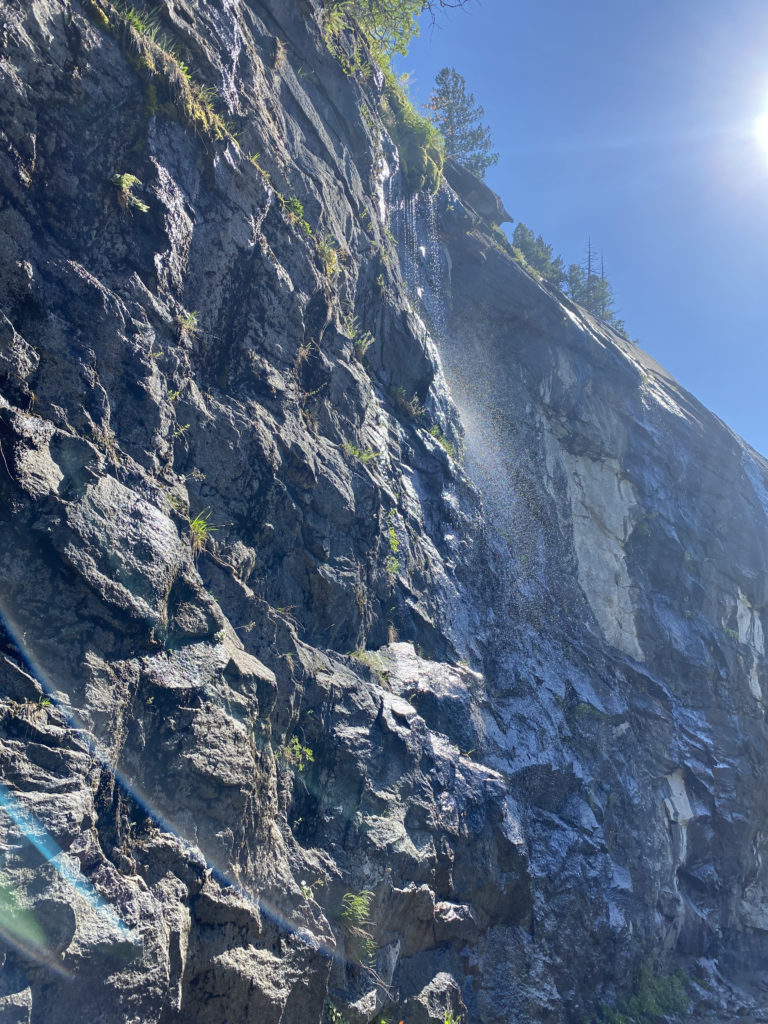
Now, the trail began climbing steeply toward Vernal Fall. After a short bit, the trail splits, with the JMT veering to the right and the Mist Trail to the left. The trail now turns into granite rocks and steps that would lead us up. While we had a glimpse of Vernal Fall from the footbridge, it was not until the trail made a slight turn did we get to see it fully. It is also here that you learn why this trail is called the Mist Trail. If there is a breeze, the mist from the waterfall is usually blown onto the trail. Thankfully, we only got a light mist during this section. During the winter, this section of the trail is closed due to it icing over and becoming unsafe. About 3/4 of the way to the top of Vernal Falls, the trail hugs a cliff wall, but thankfully, the metal railing provides some safety for this section.
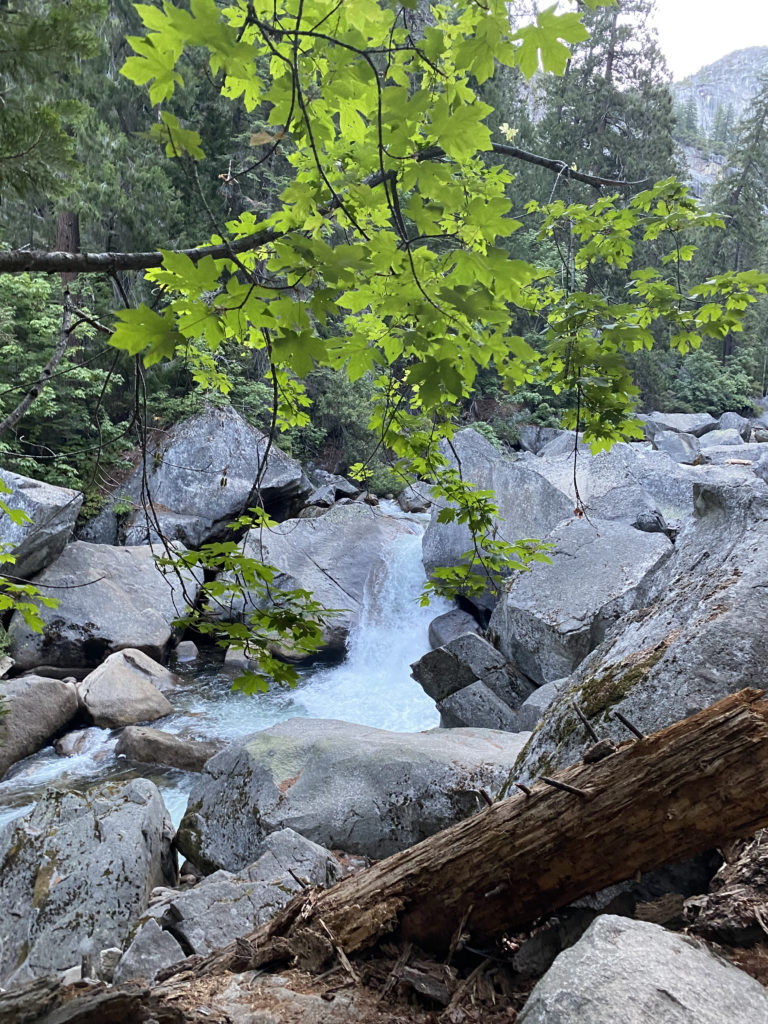
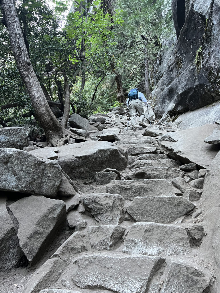
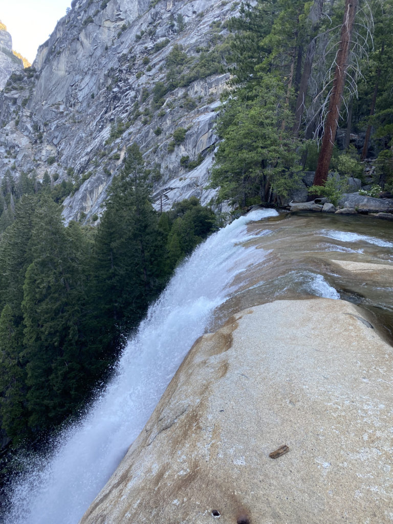
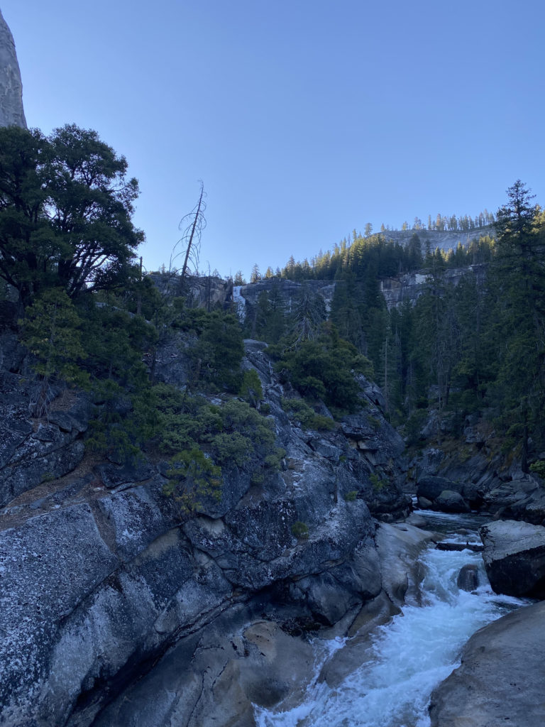
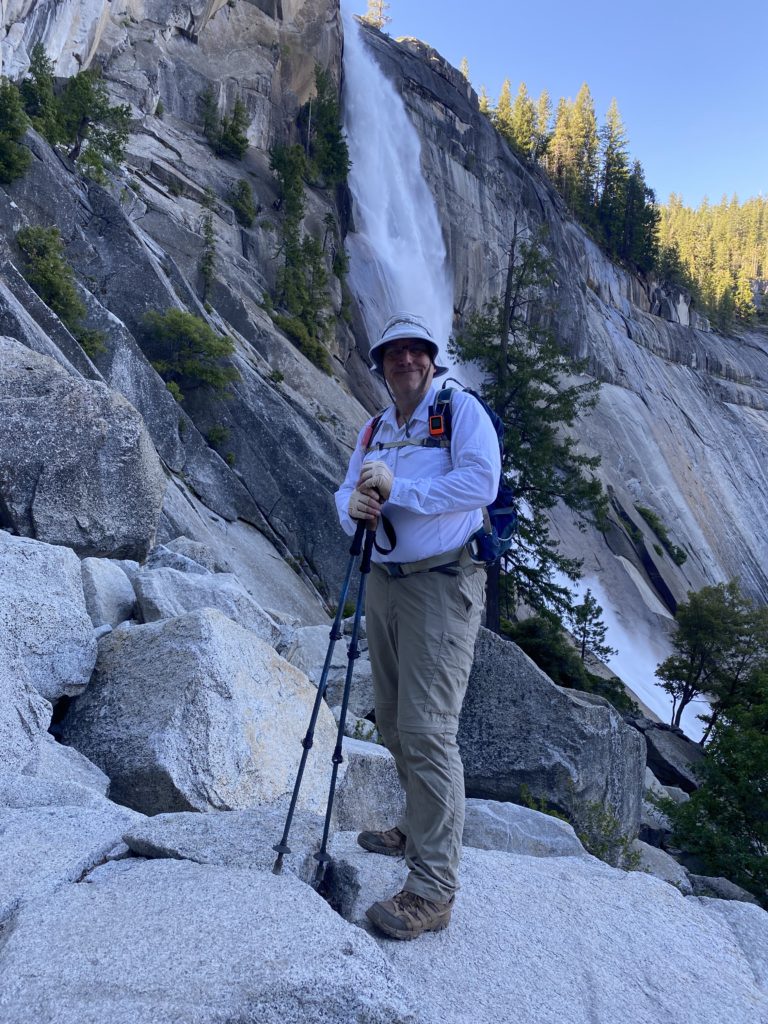
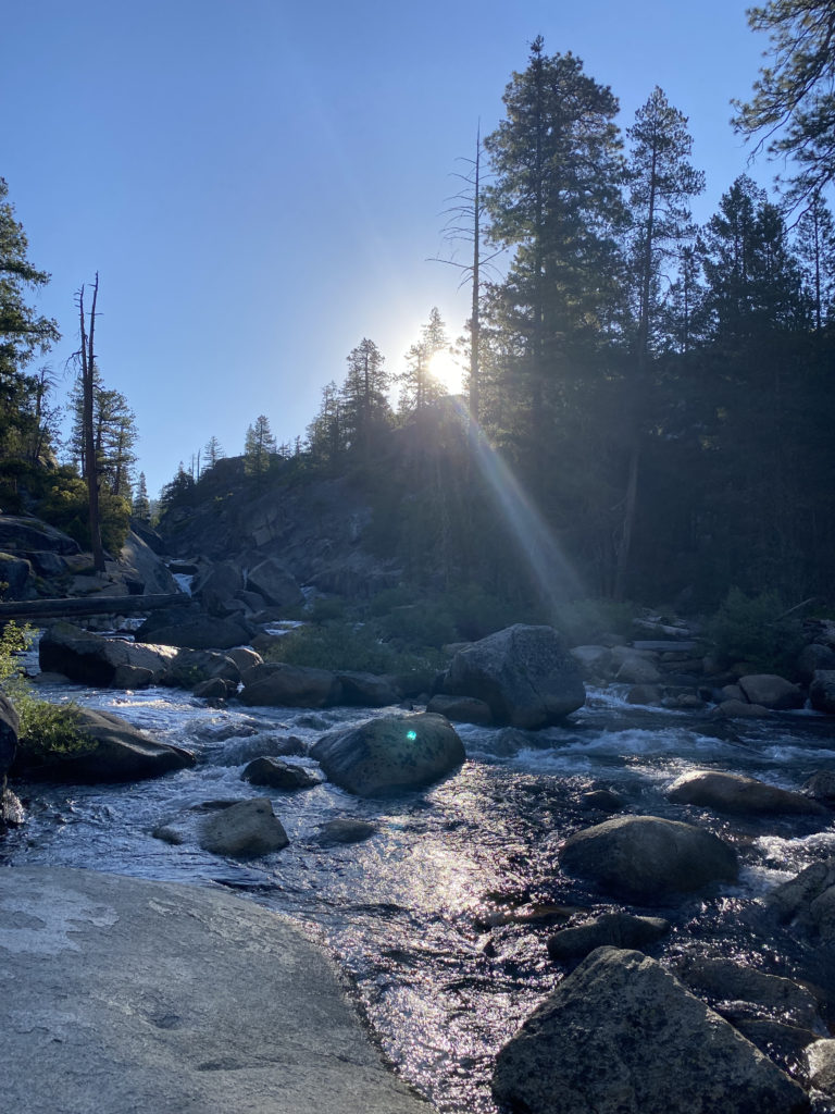
The trail then pops out at the top of Vernal Fall on a nice wide plateau. I wandered over to the overlook for a bit before continuing on. The trail takes a mini-break from the elevation gain as it passes the Emerald Pool. Once we crossed the Silver Apron bridge, our climb would begin in earnest again toward the top of Nevada Fall. Steep stone switchbacks carried us up, as the river cascaded to our right. At the top of the waterfall, we came to the end of the Mist Trail and our first planned break. While most hikers hang out right at the junction with the JMT, near the bathroom, we hiked toward the falls to a spot that would give us access to the river. We sat on the smooth rocky banks and enjoyed a well-earned snack as we filtered water for the next section of the hike. I opted to have a liter of electrolytes, as well as about 2.5 liters in my water bladder. Our plan was to filter again once we returned from the summit. After about 20 minutes, we were ready for the next portion of the hike.
Section 2: Little Yosemite Valley
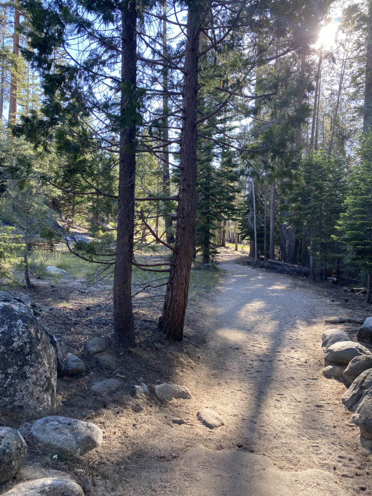
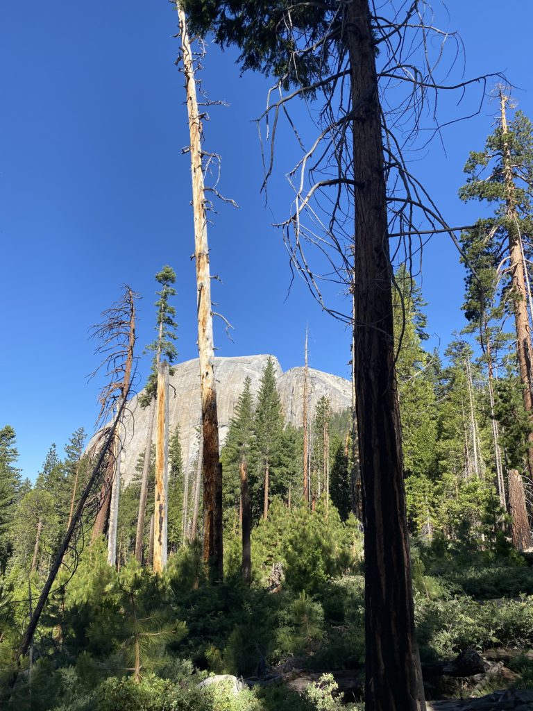
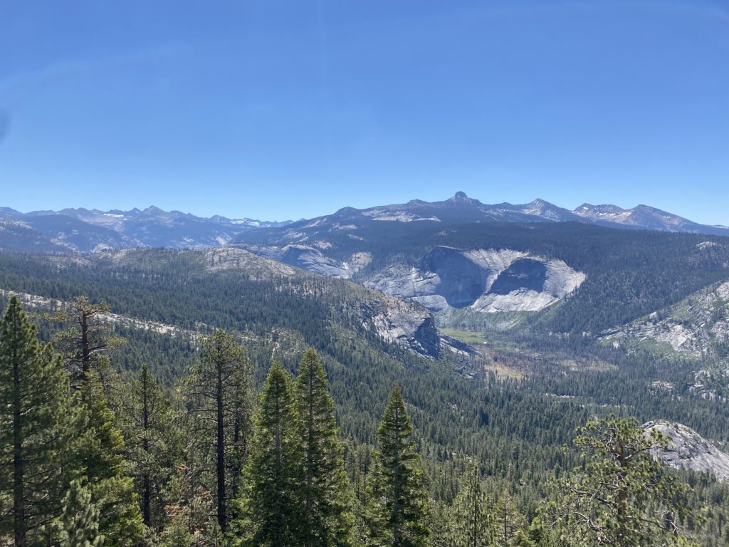
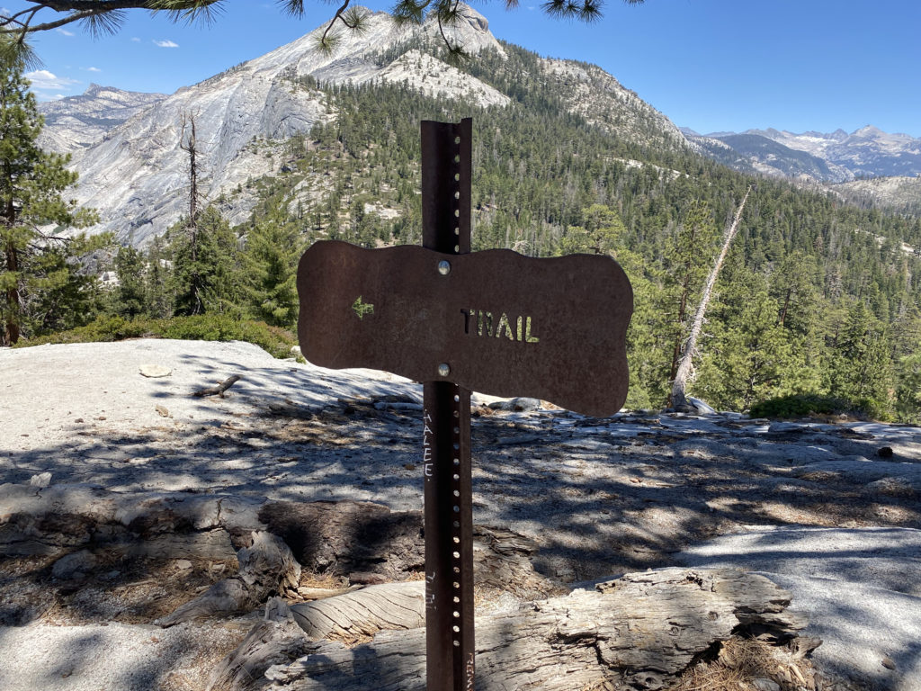
Now with our heavier packs, the flat but sandy section of the hike was welcomed. In just over 3 miles, we had already gained about 2,700 feet! Our first glimpses of the backside of Half Dome were coming into view as we cruised along. The trail splits after a bit, and if we continued straight we would enter the backpacking camp. There is a ranger station located at the camp, along with some pit toilets if you need one. Instead, we took the trail veering off to the left. Soon, this respite from the climbing would come to an end, as the trail makes a turn northward.
Section 3: The Climb
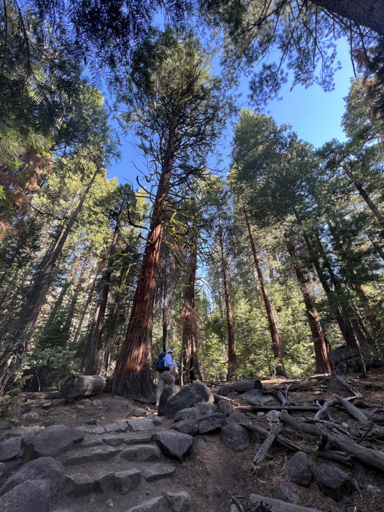
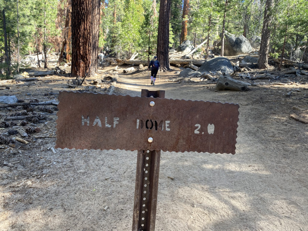
From Little Yosemite Valley, we were going to climb about 1,800 feet over the next 2.5 miles or so until we reached the Sub Dome. As we continued north along the JMT through some lovely forest, I felt myself beginning to feel a bit drained. I took a few short breathers that helped a bit. After 1.4 miles, we reached the junction with the Half Dome Trail. I found a nice spot for a break and then realized that I needed some real protein. I snacked on some jerky and soon began to feel better. Susie cruised on ahead and I once again found my groove. The trail finally turned west, and I knew that we would soon be at the Sub Dome.
Section 4: Sub Dome
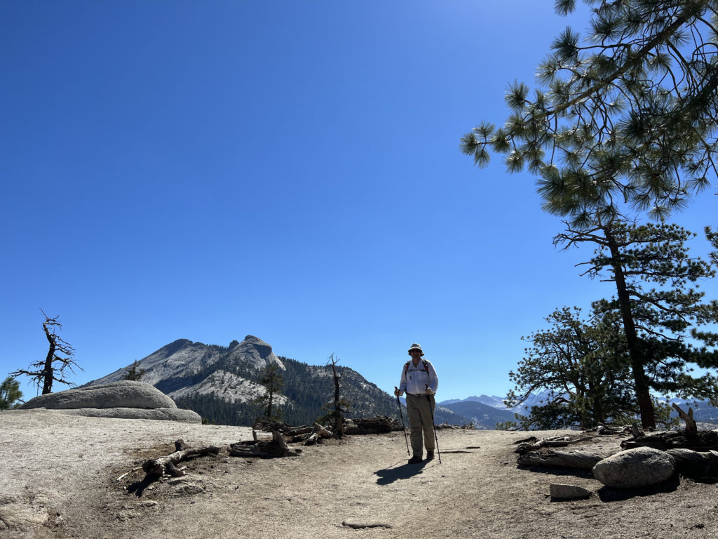
It was here that I made the decision to turn back in 2018, so from here on out the hike would be filled with unknowns for me. I showed my permit and ID to the ranger who was stationed at the base of the Sub Dome. She gave us a quick safety briefing and we were good to go, but first, I had another snack and a brief rest. The steep stone steps would rise almost 600 feet in just 3/10 mile. I paused a few times as I made my way up, in part to save some energy for the cables, but also to take in the view. Once I crested the Sub Dome, the infamous cable section stood before me. The most challenging part of the hike was about to begin.
Section 5: The Cables and Summit
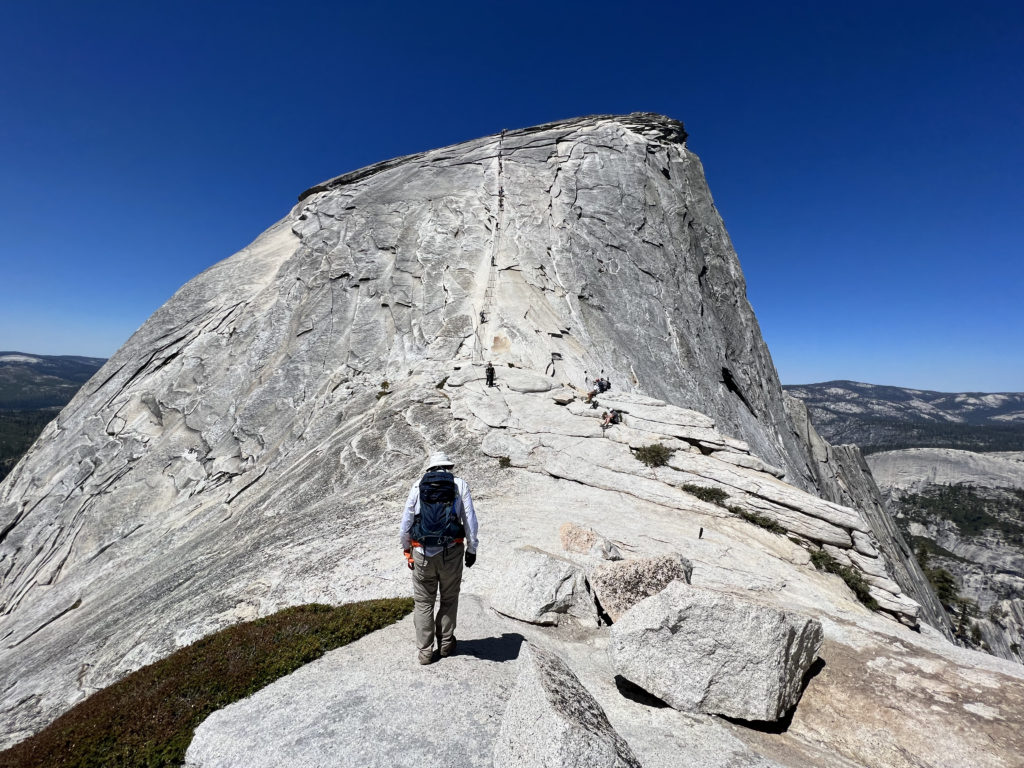
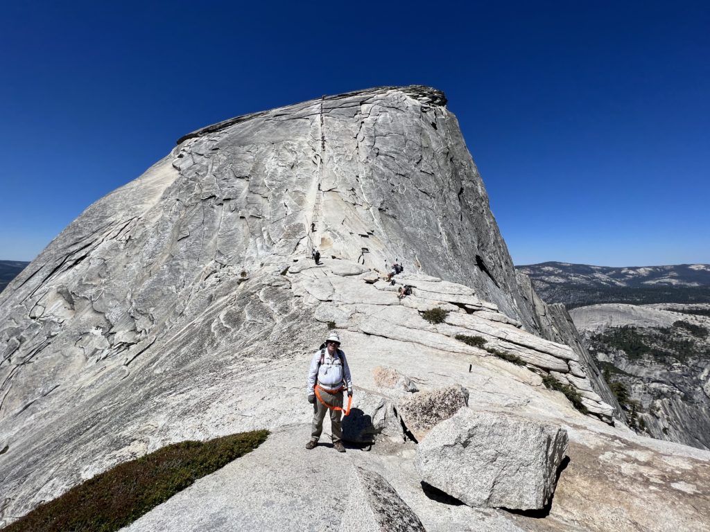
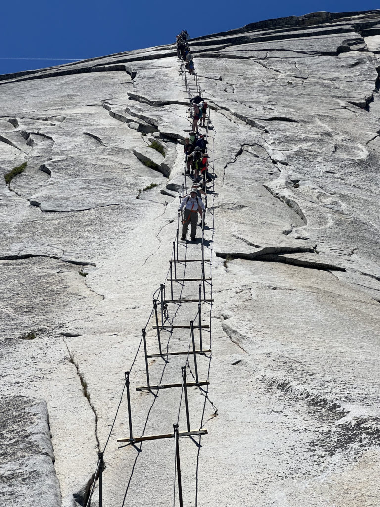
I have seen photos of the cables hundreds of times, but now they stood before me. We found a nice spot to take another quick break before continuing on. Both Susie and I brought a simple harness that would allow us to clip into the cables as we made our way up. Ted and I had these with us the last time. We stashed our trekking poles by some rocks and set off. Just a mere 400 feet of elevation gain in 1/10 mile up slick granite. Piece of cake, right?
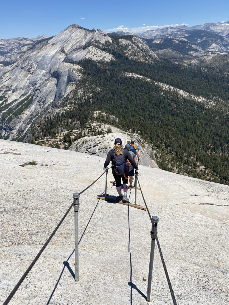
Across most of the poles that hold the cables up, is a wooden plank, but there are some sections where they are no longer there, and since Half Dome is protected, they will not be replaced. The cables start off mild, but quickly you find yourself pulling up using your arms from pole to pole. It is essentially a 45-degree angle in the beginning, which seems like a 60-degree angle in the middle, and then another 45-degree angle at the end. My gloves gave me a solid grip on the cable and I started to make my ascent. One of the other challenges with this section are the other climbers. We quickly found ourselves stuck behind one who was moving very slowly and we were in one of the more exposed sections of the cables. At that point, I decided that I needed to descend, so we turned back.
We sat once again at the base of the cables and stared up. Susie gave me a bit of pep talk, and we waited for the number of climbers on the cables to ease. The harness had been bothersome to use during our aborted attempt, so we both decided to forgo it this time. Once the crowd thinned, we again began making our way up. I focused on getting from one pole to another. As I made my way up, if I needed to pause to allow a hiker to descend, I would clip in for a measure of safety. Overall, I knew that soon I would be standing atop the summit.
As I stepped away from the cables, I felt a sense of accomplishment come over me. I walked over to a nice spot, slipped off my pack, and drank in the view. It was a touch warm, so I knew that we weren’t going to stay a long time on the summit. Plus, we did have the descent down the cables, which many say is harder, and the long hike back to the valley floor. I stood in the queue to have my photo taken on the “Visor”. Susie had already had her photos done while I was recovering from the effort. She hopped back into the queue and I took a new set for her. I also made sure to take a photo looking down from it, as I knew Ted had not ventured out and he might want to see what he missed.
While I wanted to have lunch up here, the heat was doing a number on our appetites, so we decided to head back down. Susie took the lead this time, as we carefully navigated the slick rock beneath our feet. I could feel my feet slip slightly from time to time, but I knew I had a good grip on the cable and focused on keeping myself in a safe place. We would pause and work out how to pass climbers heading up. I offered up words of encouragement to them, just as they had been given to me. Once past the section of the cables without planks, I knew that I had conquered Half Dome!
Section 6: The Descent
We stored our harnesses, retrieved our trekking poles, and started back down the granite stairs of the Sub Dome. My knee felt good, but I still took my time. We paused at the base of the Sub Dome for a bit and I had the last of the orange I had brought. I was also mindful of how much fluid I still had with me. There was still about 3.5 miles until we could filter water from the Merced. Thankfully, it was pretty much all downhill, so that would help.
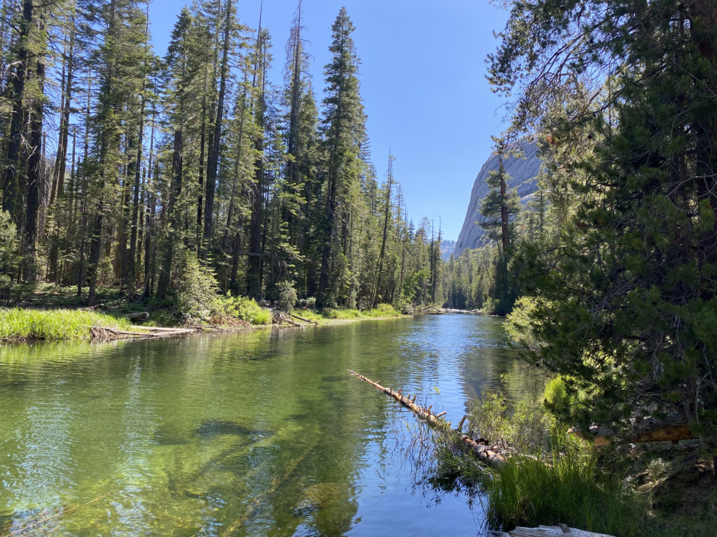
After about 2.5 miles, I took a break and grabbed my small can of Coke, and drank it down. I knew the caffeine, sugar, and fluid would tide me over until we could refill our water. Finally, I reached Little Yosemite Valley and about ½ mile later, we sat next to the gently flowing Merced and began to filter our water. I had ¼ of a liter of water left when I arrived. We had some snacks while we refilled our bladders. I also filled my side bottle with more Gatorade as well. Once replenished, we set back down. Like most, we planned to descend using the JMT. This route is longer by an additional 1.5 miles, but without the knee-bashing steps along the Mist Trail.
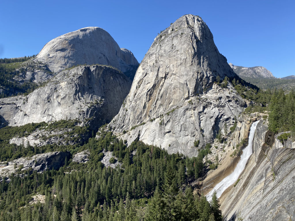
We could feel the heat as we traveled down. However, the views of Nevada Fall, Liberty Cap, and Half Dome did somewhat offset that. The next four miles were pretty much just more of the same. We both were ready to be done, and our feet were certainly in agreement. Finally, the trail rejoined the Mist Trail, and after a short break, we pushed on toward the end. Crossing back over the Vernal Fall footbridge, the end seemed so close, but that asphalt trail never seemed to end. Finally, the stone bridge came into view, and we just had the short, flat walk back to the car. Even at 6:30 pm, we could still feel the heat. I checked later and the high on the valley floor had been 100°F! We tossed our packs into the back of the Outback, changed shoes, and gave each other well-earned high-fives!
The final stats for the hike were 17.02 miles in a total time of 13:12 hrs with an elevation gain of 5,485 feet. I did not stop my tracker during the entire hike. According to Susie’s tracker, our moving time was 9:53. We were a little slower than planned, but given the heat that we hiked under, we were quite pleased with our effort.
I am an avid peak bagger, sometimes backpacker, and former sea kayaker living in San Diego. I co-authored Urban Trails: San Diego, available now!
In 2019, I became the third person to complete the San Diego 100 Peak Challenge. Not stopping with that accomplishment, I set my sights on the harder San Diego Sierra Club 100 Peak list, which I completed in 2021. I’ve also conquered several Six-Pack of Peaks challenges (SoCal, San Diego, Central Coast, and both the Arizona-Winter and Arizona-Summer).
I look forward to exploring new summits and adventures across the Southwest.