With my usual afternoon class rescheduled for Friday, I decided to take advantage of the free day and head up to Big Bear for some peak bagging adventures. Another reason for this trip was that the road to three of the peaks would be closing on Nov. 1 for bald eagle nesting. As I drove up the 215, I wished Ted was with me; the sunrise was spectacular, and he could have photographed it. I made it up Highway 18 well before the construction closure started at 8. I turned onto Rim of the World Drive and then onto Forest Road 2N13. At the junction with FR 2N70, I turned onto it, as there was a nice turnout for parking. It was brisk, so I slipped on my fleece, beanie, and full gloves. I carefully made my way down the short slope and then across Grout Creek. Then I worked my way up the steep slope until I connected with the Grays Peak Trail. Once on it, I cruised along toward the summit. The effort up the slope warmed me, so I shed my layers and kept going. Soon the summit came into view. I found the register and a couple of summit signs. Off to the west, I could see the fire lookout atop Butler Peak, my next summit, but first I had to get back to the car. A nice set of cairns marked the location where I should leave the maintained trail and start down the steep slope. I could see the Outback below me. My route down was a little easier, as I could see my options more easily. Back at the car, I pulled my layers out of the pack and tossed them on the back seat. Now to drive over to Butler Peak.


Along the way, I passed a couple of hunters out looking for deer. They said so far just does and fawns, and one bear. Since I spotted the flag flying atop the lookout tower, I knew the gate would be open, so I drove on up to the parking area. I parked and followed the trail to the tower base. A shady spot held just a touch of snow. While San Gorgonio and San Bernardino were still covered in white, these mountains were completely snow-free. I climbed the steep stairs to the tower, where it was staffed by two volunteers. We chatted a bit about the area. I have been to many towers, so the Fire Lookout Tower 101 talk wasn’t needed. I did, however, obtain my Order of the Squirrel card. Off to the west stood my third peak, Crafts Peak.


Originally, I wanted to hike this via the road from Green Valley Campground, but the construction closure prevented that. Instead, I would have to tackle it from the north. I found a parking spot, gathered my gear, and headed off. Initially, I had an abandoned road to follow, but that ended, and now I loosely followed the Sierra Club gpx track loaded on my phone. My route had me climbing up another steep slope. Unlike the climb up Grays, this one kept going, and the ground was covered in pine needles, making footing a challenge at times. I worked around some ceanothus and, checking my position, knew I was nearing the summit. That’s where the real effort would start. A swath of thigh-high brush spread out before me, with no clear way to pass through it easily. I picked my way as best I could, but I felt thorns poke me as I bushwhacked through it. Finally, I reached the road from the campground, then a small use trail to the summit. I took in the views, had my lunch, and plucked a few thorns out of my legs. After the break, it was time to fight my way through the brush again. I tried to follow my stored route more closely, and it helped only slightly. I did pick up a helium balloon as I exited the brush. Now I just had to descend that steep, pine-needle-covered slope. That descent was too difficult, and soon I was back at the car. Three peaks down, and it was still early afternoon. Maybe I could squeeze in another peak or two? The construction closure doesn’t end until 4, so why not?


I drove back to Rim of the World Drive and turned onto FR 3N12 (Delamar Mountain Road) until it reached Little Bear Spring Road. Just past this junction, I pulled into Yellow Post Site #5. After finishing chatting with my daughter in DC, I set off along the trail. This portion of the route appears to have been a road. The peak came into view, thankfully not too far away, as my legs were feeling those steep ascents. The summit had neither a register nor a sign, but given the easy nature and great view, I am not surprised. Off to my east, I could see my next target, Delamar Mountain. Back at the car, I saw I still had over an hour until the road reopened (or take the long way around the lake).


I continued up Delamar Road until it met the PCT. There was a nice parking area. I wonder how much “trail magic” might have happened here? Unfortunately, my route to the summit wouldn’t follow the PCT, but instead cross-country to the summit. I followed an old firebreak for a bit until I found a faint-use trail that led to another old road. Just around the bend, the trail continued up. While the first section had been steep, my route became even steeper. Between all the other ascents, my legs were feeling it. Thankfully, the summit wasn’t that far away. I pushed on up and finally reached a mound of boulders that denoted the summit. While it had a register, there were no signs or views to be had. Still, knocking out 5 HPS peaks was quite a good day out on the mountains. Now for the long drive home.


| Moutain | Distance | Time | Elevation Gain |
|---|---|---|---|
| Grays Peak | 2.7 mi | 1 hr 41 min | 711 ft |
| Butler Peak | 0.23 mi | 17 min | 45 ft |
| Crafts Peak | 1.9 mi | 2 hr 11 min | 947 ft |
| Little Bear Peak | 1.6 mi | 45 min | 188 ft |
| Delamar Mountain | 0.86 mi | 53 min | 479 ft |
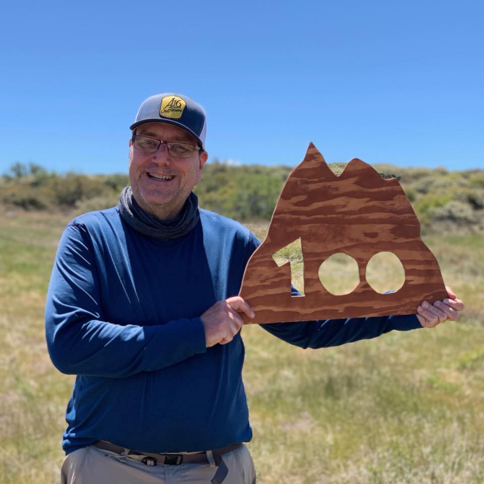

I am an avid peak bagger, sometimes backpacker, and former sea kayaker living in San Diego. I co-authored Urban Trails: San Diego, available now!
In 2019, I became the third person to complete the San Diego 100 Peak Challenge. Not stopping with that accomplishment, I set my sights on the harder San Diego Sierra Club 100 Peak list, which I completed in 2021. I’ve also conquered several Six-Pack of Peaks challenges (SoCal, San Diego, Central Coast, and both the Arizona-Winter and Arizona-Summer).
I look forward to exploring new summits and adventures across the Southwest.