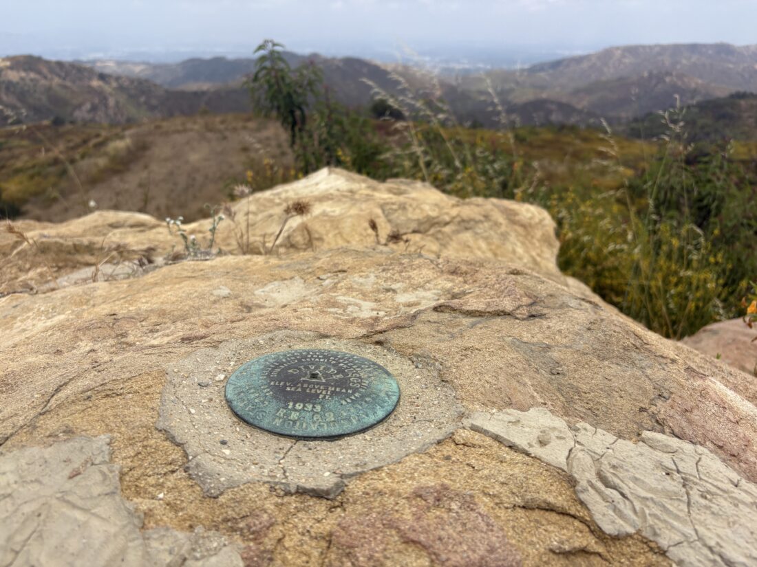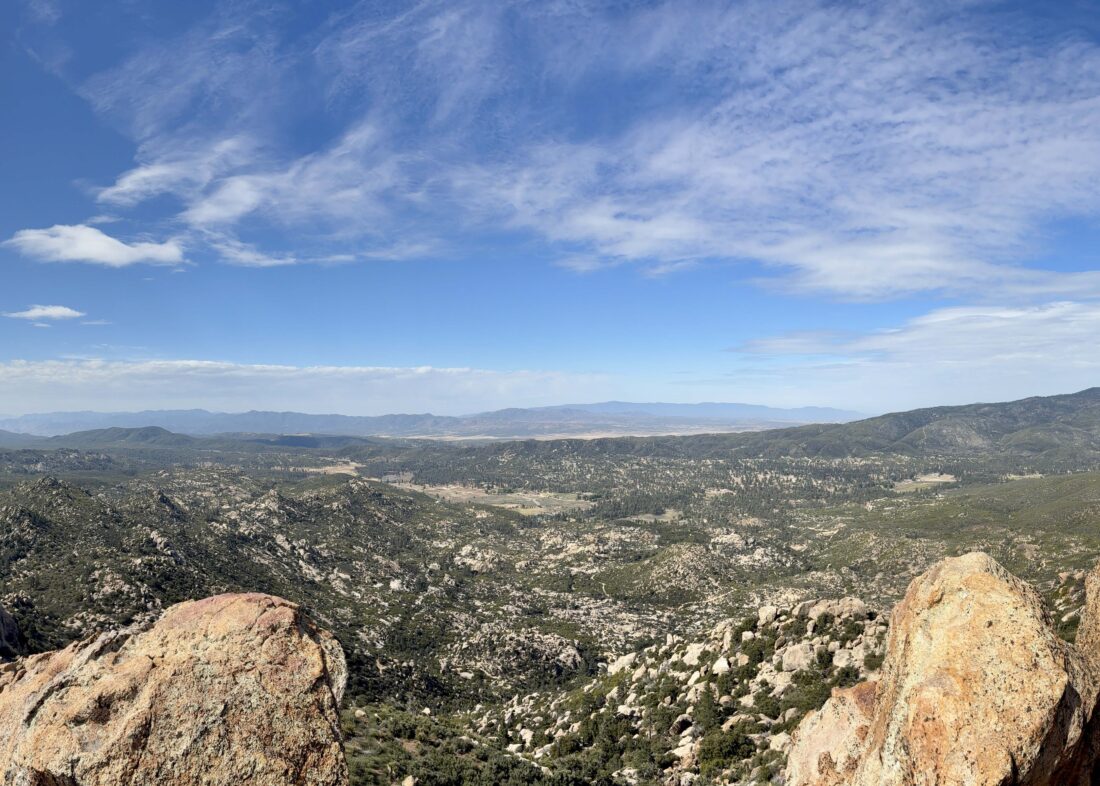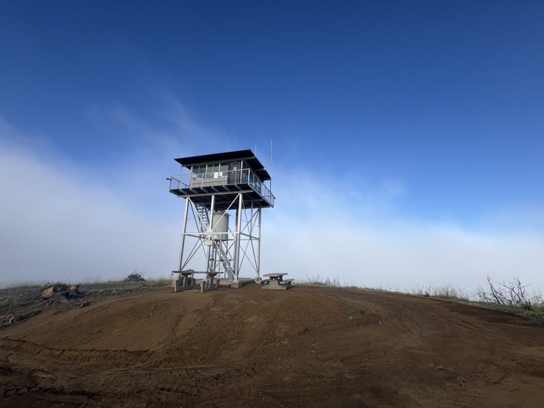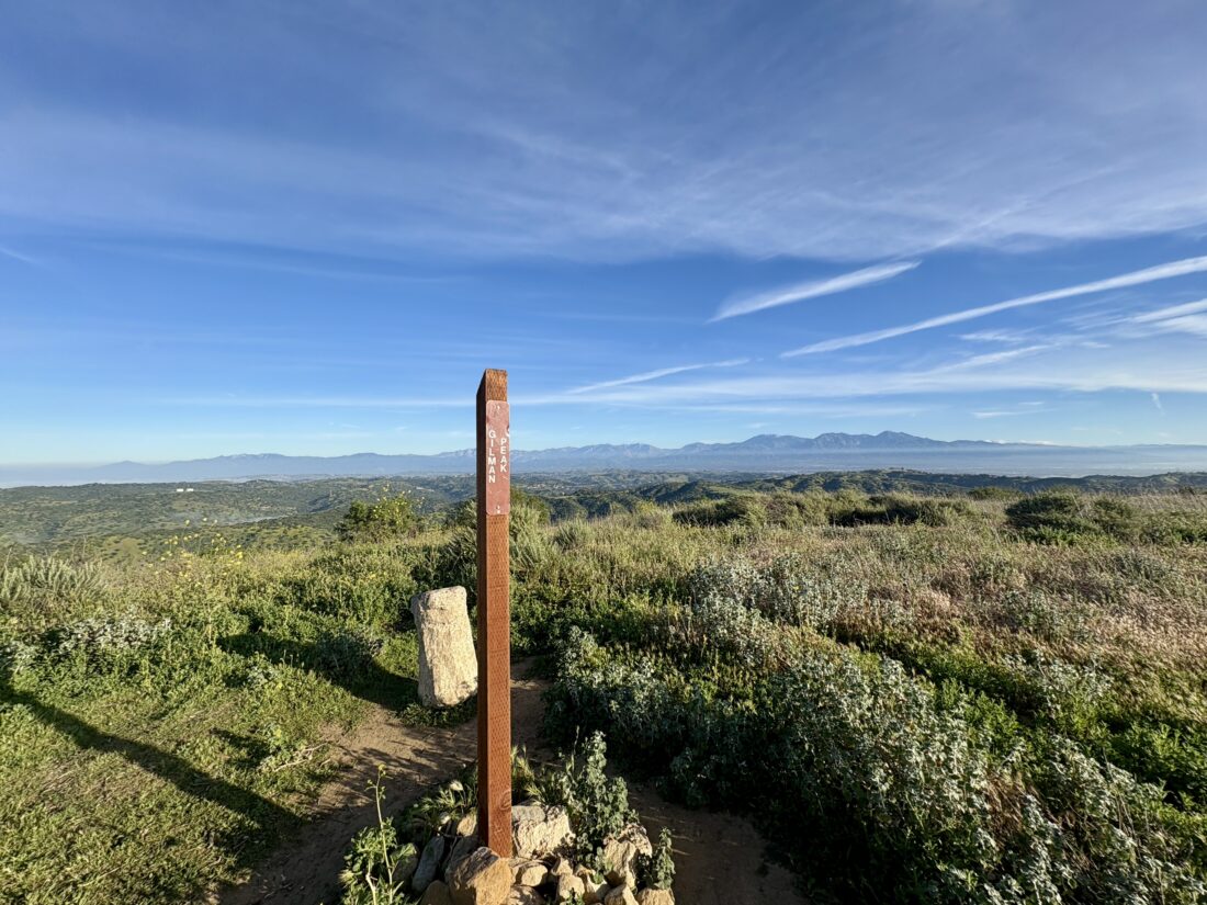
After spending the night at my wife’s uncle’s house in Encino, I awoke early and drove to the Mishe Mokwa Trailhead in the Santa Monica Mountains. The goal today was to complete a 7+ mile loop that included 6 summits on the Lower Peak Committee list. I pulled into an empty parking lot and gathered my gear. Crossing the road, I set off along the trail, hoping that not bringing a jacket wasn’t a mistake, as the clouds were all around me. I came to the first signed junction and headed off toward Sandstone Peak. The trail was in great shape, and I was making good time. A couple of hikers passed me, returning from what I assume might have been an attempt to watch sunrise from the summit. I found the turn off to the peak and worked my way up. A plaque honoring Mr. W. Herbert Allen, who donated many acres of land to the Boy Scouts, was mounted on a nearby rock. There was an attempt to rename this peak in his honor in the 1960s, but the petition was denied because of a Department of the Interior policy against naming geographic landmarks after people who were still alive. The clouds prevented any sort of views, and I knew that was going to be the case for the rest of the day.


I made my way back down to the Backbone trail and continued my clockwise route. The track I was using as a guide featured a short side-hike to the summit of Pico Raquelita. While not on the list, I figured, why not bag another peak? After a little bushwhack, I reached the summit and quickly returned to the main trail. I found the use trail leading to the top of Boney Peak not long after rejoining it. I was surprised by the lack of cairns to guide hikers, especially given that this area is fairly popular. I found the primary summit block and called it “bagged”. There was no need to climb it for the view, as there was none. I opted for a more direct route back to the main trail, guessing my way down.


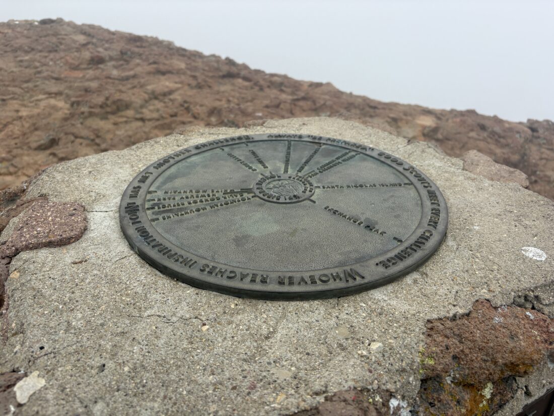
Next up was Inspiration Point, just a short walk to the memorial for William Plants, an Eagle Scout who died on the trail in Kings Canyon National Park at the age of 16. Two hikers were just leaving as I arrived. Atop the memorial is a sighting disc to help pinpoint the various landmarks that could have been seen, but not today.


The trail came to a junction, and I turned to the south to hike to Exchange Peak. I passed some old water tanks, then onto a use trail toward the summit. While the route was mostly findable, I again wondered about the lack of cairns and how they might be useful.


After a snack, I headed northward toward Tri-Peaks. My route would become less defined as I left the Backbone Trail for a while. There was signage to help guide me, so I never felt lost. I reached the summit and understood the reasoning behind the name. I milled around the base of the Tri-Peaks before continuing northward toward the final peak of this loop, Big Dome.


My route turned eastward, and just after Pop Top Peak, which I technically skipped, the trail veered off toward the summit. I missed the first trail up, and had to back-track to it from the east side. Again, just more views of the gray clouds.


I rejoined the Mishe Mowka Trail and continued eastward. I passed by Split Rock, stopping at the picnic table to adjust my shoes before continuing on. I opted not to take the unmaintained trail to view Balance Rock because visibility was so poor. I slipped in my headphones and enjoyed a podcast as I motored home.


A couple of signposts asked visitors to position their camera, take a photo, and email it to the researchers. This citizen scientist’s effort to catalog the recovery from the 2018 Woolsey Fire is really impressive. I snapped my photos to send later. Before too long, I reached the junction near the start of the trail. There, a gentleman was plucking up the red flags I had spotted from time to time along the trail. I initially assumed they were there for a trail race on Saturday. They actually were guides for hikers from a nearby retreat. We chatted a bit as we made our way back to the trailhead. He went over to his clients, and I to my car. I changed for the long drive home and set off. This was a great day of peak bagging, knocking 6 more off the LPC list. I might need to return on a clear winter’s day to enjoy the views, but it was still a good day on the trails. The final stats were 7.5 miles in 4:25 with 1,443 feet of gain


I am an avid peak bagger, sometimes backpacker, and former sea kayaker living in San Diego. I am the co-author of Urban Trails: San Diego, available now!
In 2019, I became the third person to complete the San Diego 100 Peak Challenge. Not stopping with that accomplishment, I set my sights on the harder San Diego Sierra Club 100 Peak list, which I completed in 2021. In addition, I have conquered several Six-Pack of Peaks challenges (SoCal, San Diego, Central Coast, and both the Arizona-Winter and Arizona-Summer).
I am looking forward to exploring new summits and new adventures across the southwest.