I had planned to do this solo overnight trip this past weekend, but that early snowstorm forced me to postpone it. Since the weather was looking much better for this weekend, I decided to make the drive up the 395 and try again. One of the questions I had was actually about the timing of getting to the trailhead at Horseshoe Meadows. I had three options:
- Leave early Saturday morning (think 4 am), and drive straight to the trailhead,
- Leave Friday afternoon, drive to the trailhead, and camp in my car at the Walk-In Campground, or
- Leave Friday afternoon, drive to Ridgecrest, stay in a motel, then make the 2-hour drive to the trailhead on Saturday.
I ruled out option one. Since I was going solo, I did not want to deal with the combination of the drive and the hike in one day. Option 2 had some appeal, as since I would be at altitude, I could get some acclimation time in before I set off. In the end, finding a motel for $90 in Ridgecrest sealed the deal for option 3. I checked into the motel a bit after 5 pm, unloaded my gear, and set off to grab dinner. I knew exactly where I had to have dinner, John’s Pizza. For over 30 years, my dad was a Field Engineer for NCR, which meant he was the nice man who fixed that cash register or later, that ATM. One of the places he would have to drive out to for a service call was John’s Pizza in Ridgecrest. I made the short drive to the restaurant and ordered a beer, some breadsticks, and a pizza. I did not have the courage to order the Peanut Butter Pizza (yes, this is a thing and has been for decades). As I ate my food, I reflected a bit on my Dad and his impact on me. Back at the motel, I read a bit before turning in.
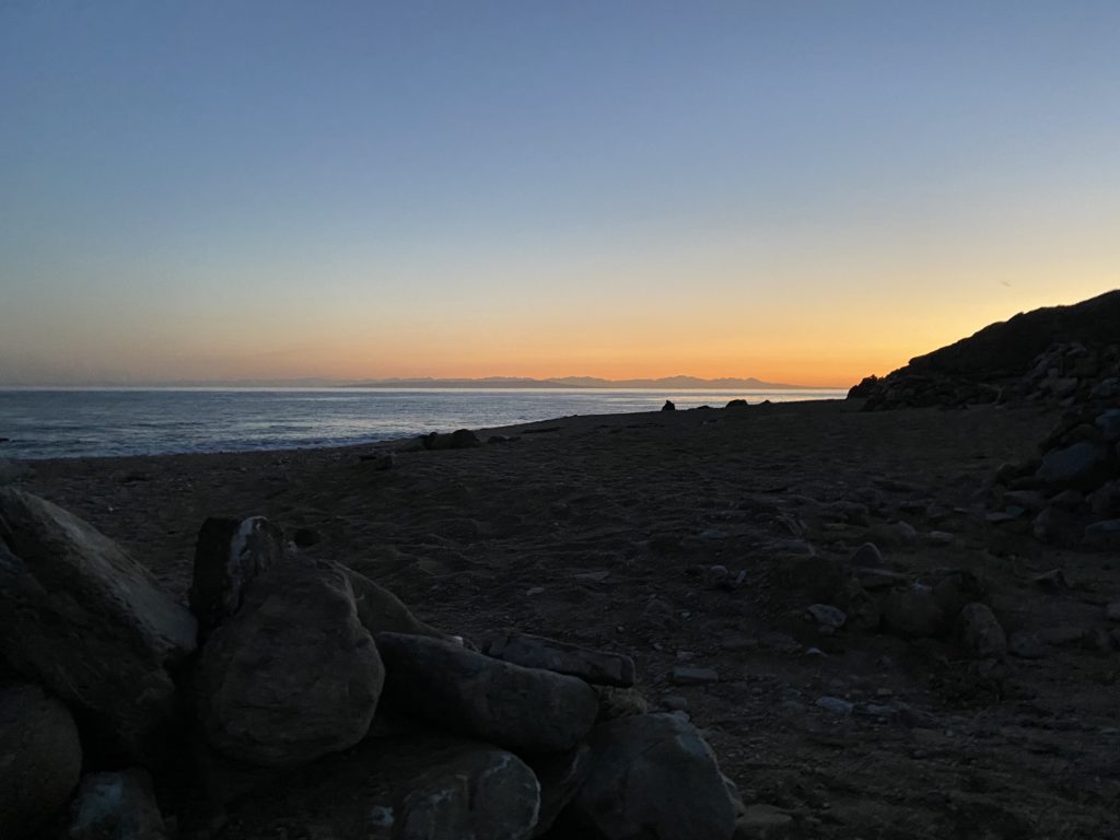
I awoke the next morning and grabbed a warm breakfast at the Denny’s before continuing on to Horseshoe Meadows. Turning off the 395, I could see the road snaking its way up the steep mountainside and began the long climb up from the floor of Owens Valley. Along the way, I passed two cyclists testing their legs and lungs climbing up the road. That would have been me 30 years ago… I pulled into the parking lot for the Cottonwood Pass Trailhead and began to get ready. Since this is active bear country, I placed my return drinks and snacks in a bear box, along with a few other scented items. No need to come back to a car that a bear had vandalized to get at something it saw or smelled.
With one last stop at the pit toilets, I set off along the flat but sandy trail to the west. The trail reached a junction with the trail leading south to Trail Pass, and north to Cottonwood Lakes. However, my destination lay off to the west, on the other side of Cottonwood Pass. For the first 2 miles, the trail hugs the north side of Horseshoe Meadows and it is pretty gentle in terms of elevation gain. The hike starts at just under 10,000 feet. This area is a popular area for hikers who are planning to ascend Mt. Whitney to the north to work on their acclimation. Temperatures were in the low-50s, so it was really pleasant hiking weather. After crossing a stream twice, I soon reached the end of the ‘flat’ portion of the hike and would start the ascent of Cottonwood Pass in earnest. One of the items that I was trying on this hike was a new, lighter backpack. I swapped out my Osprey Atmos 65 for an Osprey Exos 58. There is almost a 2 lbs. difference in the weight between the two packs. So far, the pack was feeling comfortable, so that was a good sign. Earlier, I chatted with a father and son who were returning from their trip (it turns out they were from San Diego), and when I left the parking lot, a returning hiker was also from San Diego (did I miss an email that it was San Diego weekend on Cottonwood Pass?). While chatting with the father and son, 3 horseback riders came passing through. I knew I would now need to be mindful of horse droppings on the trail as well…ssing through. I knew I would now need to be mindful of horse droppings on the trail as well…
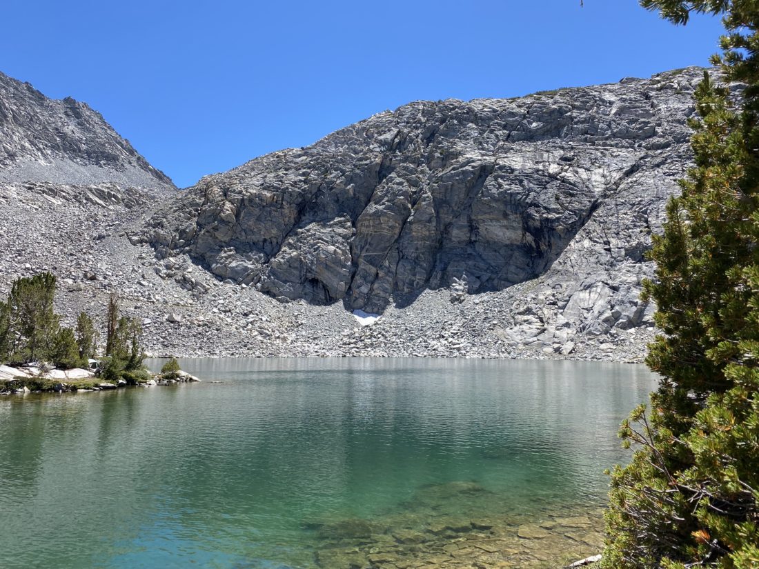
I took the climb in a measured fashion, as I had no need to try to race up and over the pass. I would occasionally stop to snap a photo, usually looking back down toward Horseshoe Meadows (getting further and further away). I reached those riders again, just as they were finishing their break and returning to their ascent. I continued making my own ascent, sensing that I would soon be reaching the pass. Sure enough, I reached it! I found a nice spot, slipped off my pack, and broke out my lunch. A sweeping view to the west filled both my eyes and my soul as well. Just in front of me was the Pacific Crest Trail. I pondered all those hikers who have passed along this point. When I get home, I need to rewatch some of the YouTube videos of some of the thru-hikers I followed this year to see if they captured their passing. After a nice break, I set off for the final bit to Chicken Spring Lake.
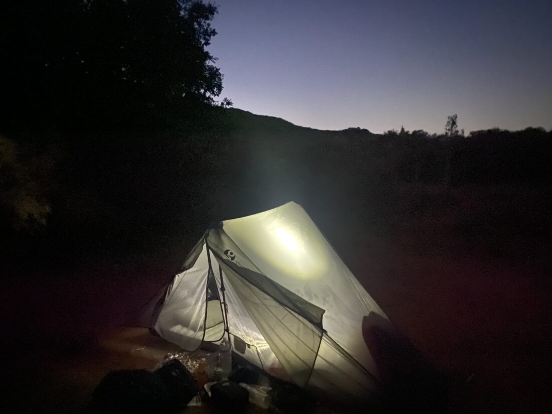
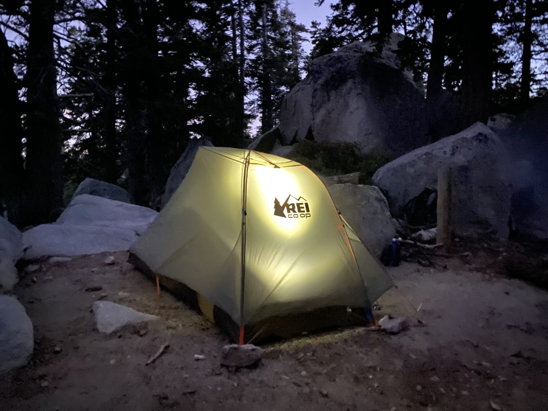
Just as I reached the junction to Chicken Spring Lake, I spotted the horseback riders making their return from the lake, so I paused to let them pass. Then, two older hikers came down the PCT to the junction as well. They dropped their packs and took a short break. I spotted the PCT hiker tag on one of their packs and asked if they were SOBOs (SOuth BOund). Turns out, they were originally NOBOs but had been flip-flopping due to various closures, and the exit at Cottonwood Pass was their actual completion point! I congratulated them on their achievement! They were looking forward to a real bed, a lot of food, and some cold beer. I helped one lift their pack back on (arthritis in his shoulder, to which I can relate…) and waved them off. I walked over to the small rise to be greeted with Chicken Spring Lake before me. I had reached my goal for the day. I walked along the eastern shore, scouting out possible campsites. After passing a family of four, I found a nice spot to set up camp. I slipped off my pack and went about my chores. One of the new pieces of equipment I was testing was the Flextail air pump. Weighing in at under 2 oz., this little air pump quickly filled up my air mattress. Being at over 11,200 feet in elevation, not having to huff into a blow sack to inflate my sleeping pad made it all worth it. I made sure the stakes to the tent were very secure as I did not want a repeat of the events on San Gorgonio. I also brought along my portable CPAP unit, so I tucked that inside the tent as well. This would be the first time trying it out on an actual backpacking trip. I had used it before, but only when car camping.
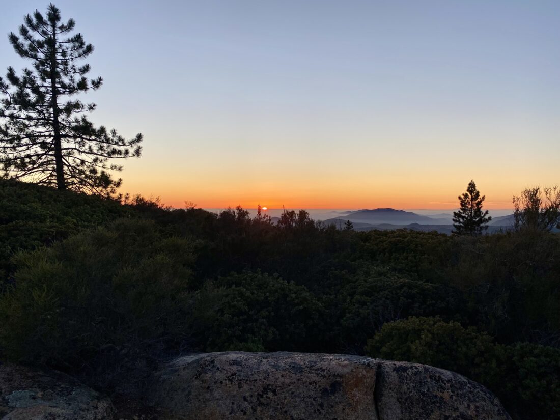
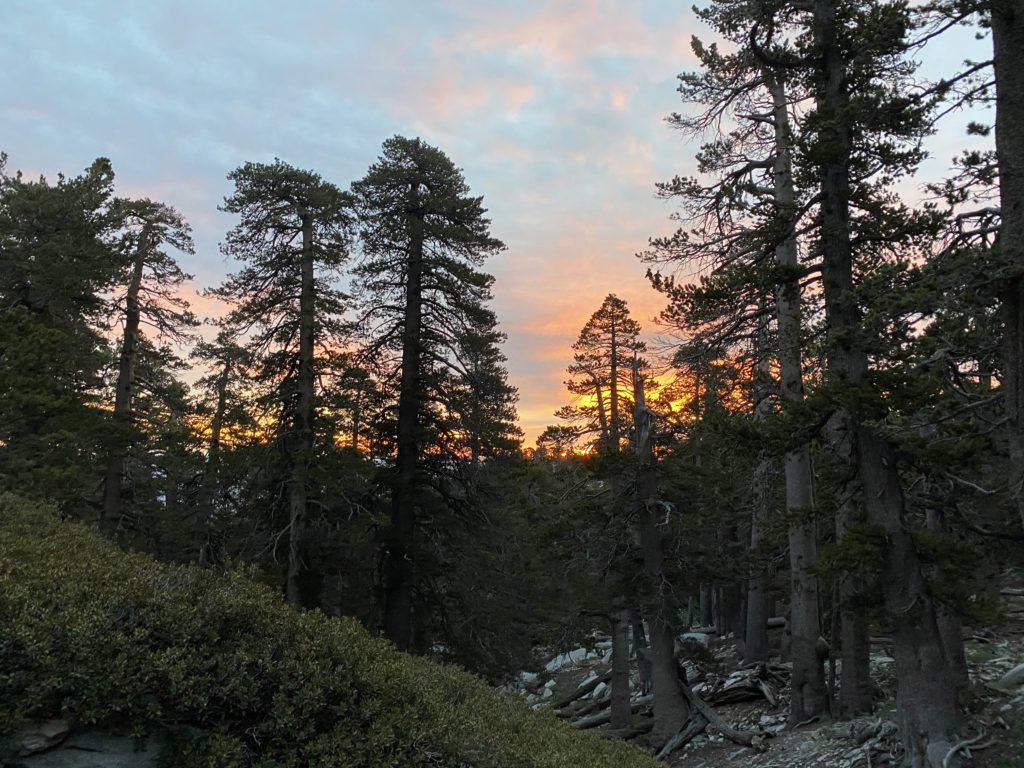
After tucking my bear canister safely away from my tent, I decided to lie down and take a well-earned rest. That was part of the plan, to simply enjoy the destination… Feeling refreshed, I wandered down to the water’s edge to fill my CNOC water bag so I could filter water for later. I drank another .5 liter of electrolytes to hopefully prevent the cramping I had on my last overnight. I strolled along the lakeshore, enjoying the calmness it offered. As the sun continued to sink, I knew it was getting closer to making my dinner. Another new piece of gear I was testing was an insulated food bag from Big Sky International. This bag helps keep the heat from the food pouch in, thus aiding in rehydration, as well as just help keeping it warm. It was worth the $16 I spent on it! My lasagna stayed warm down to the last bite. I packed my food away for the night, along with anything else scented, and returned to my tent. The temperatures were starting to drop, and I broke out my down jacket. I watched the colors on the mountains above the lake turn into an amber glow as the day faded away. I crawled into my tent, turned on an audiobook, and relaxed. The new pillow, a NEMO Fillo Elite, was also working out well. Normally, I return my puffy jacket into the stuff sack I store it in, to act as a secondary pillow, but I was starting to really feel the chill, so I put it back on. My quilt is technically rated to 30°F, but I wasn’t sure what its comfort rating actually was. I still have to be mindful of my neck, so I folded up my seat pad that I use to act as my under pillow to get my neck angle just right.
The night continued to get colder, so I slipped on a pair of gloves I brought, as my fingers were getting pretty cold. I had turned off my audiobook at this point and was ready to plug my phone into the battery to recharge it, when I discovered its connector had been twisted slightly, making it impossible to plug a cable into it. I had already forgotten the cable for my Apple Watch. If needed, I could hopefully charge my phone using the CPAP battery in the morning. I drifted off to sleep, and the light breeze from earlier in the day had thankfully faded. From time to time, I would wake, usually from my feet feeling the chill. It was certainly cold. I would double-check that I was still properly tucked in, and would fall back asleep. I had wanted to step out at some point and take in the night sky, but it was just too chilly for me to leave my tent. Maybe if I had to answer the call of nature…
Around 5 am I awoke, as my CPAP had run out of battery. Normally, I can get almost two nights’ worth of power from the battery, but the cold had drained the battery. I closed my eyes again for a bit before climbing out of my tent. Since I did have a thermometer on my pack, I took a look at the reading, and it measured just above 30°F. None of my water froze, so I knew it did not get below 32°F. I wasn’t in a real hurry to leave, but I knew I did have a 5+ hour drive home. I made a hot cup of coffee and began packing up. I finished breakfast and a second cup of coffee and repacked my backpack. The family of four that I saw on the way to my campsite had already left, but a young couple was just getting their breakfast ready at one of the first sites I passed the day before. We chatted for a good while, shoeing away some rather aggressive squirrels trying to get into their packs. They were starting a multi-day trip that hopefully would include an ascent of Mt. Langley. I bid them farewell and began retracing my path. I had considered turning my return into a longer loop, passing by Trail Peak and descending via Trail Pass, but in the end, I opted to save that for another trip.
The descent went quickly. Along the way, I passed a collection of other backpackers setting off, or a few day hikers out enjoying the first days of fall. Soon, I was cruising along Horseshoe Meadow, and finally back at the trailhead. I grabbed my stuff from the bear box and enjoyed a cold drink while changing into some clean clothes for the long drive home. This was a great overnight trip, and one I plan to do again (probably turning it into a multi-day adventure if permits allow). I almost forgot to mention another new piece of gear I had for this trip was a 3D-printed holder for my Garmin InReach. OHM3 reached out to me via Reddit and sent me one. Their cradle worked really well. It was nice having my Garmin securely fixed to my pack and not flopping around as I hiked. The drive home was uneventful, except for seeing the large smoke cloud from the Line Fire that had flared up again.
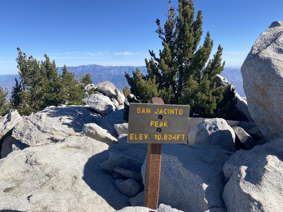
I am an avid peak bagger, sometimes backpacker, and former sea kayaker living in San Diego. In 2019, I became the third person to complete the San Diego 100 Peak Challenge. Not stopping with that accomplishment, I set my sights on the harder San Diego Sierra Club 100 Peak list, which I completed in 2021. In addition, I have conquered several Six-Pack of Peaks challenges (SoCal, San Diego, Central Coast, and Arizona-Winter). Beyond attempting the San Diego Sierra Club 100 Peak list a second time, I am looking forward to exploring new summits and new adventures across the southwest.