A bit of a marine layer hung in the air as I pulled into the parking lot. That was fine as I planned to cover over 6 miles on this hike. I was here early in part to finish up with enough time to drive out to Cabrillo National Monument and hopefully be able to go to the actual top of the Old Lighthouse. The trail was a well-maintained service road. The University of San Diego, and its blue-domed church, stood above the canyon to the south. A work crew was out removing weeds. I chatted with them a bit before continuing on my way.


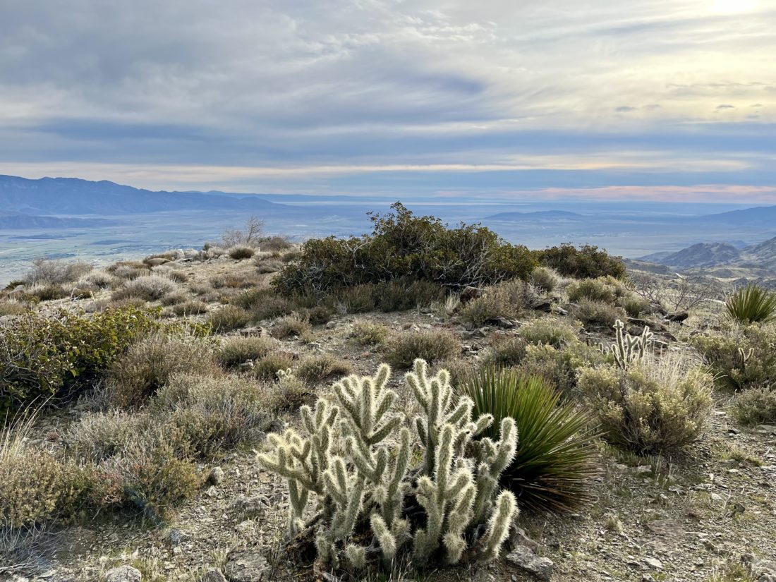
The trail turned northward and followed the Tecolote Golf Course. The flatness from the beginning of the hike was now replaced with some short ascents and descents. Wildflowers dotted the trail from time to time, as did connecting trails to the neighborhoods or power line towers.


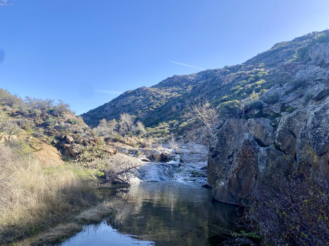
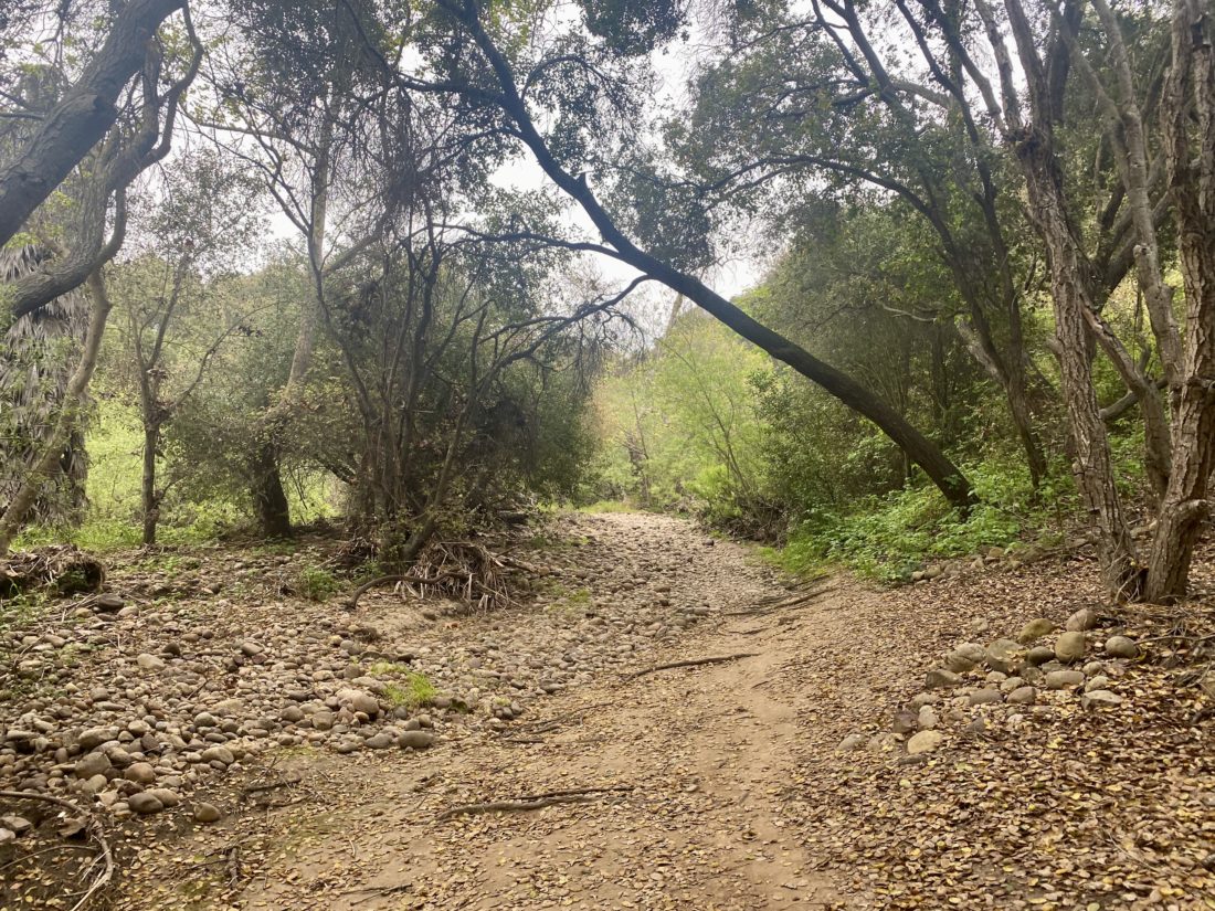
The trail once again made an easterly turn, mostly leaving the golf course behind. While there is a way to link up with the northern portion of Tecolote Canyon, I was planning to stay on the southern portion. The trail now was no longer mostly a service road, but a trail that worked its way back and forth over Tecolote Creek. Thankfully, the water was low enough to allow me to cross. Finally, I reached the trail’s end at Genesee Avenue. One does need to be a bit mindful, as this section does have some poison oak.


While working my way back, I ran into a gentleman with a full Osprey Backpack. I asked him, “Training for something?” He replied he was headed to the Grand Canyon for a few nights. I wished him the best of luck and told him how jealous I was. I started to pass a few more folks, some out walking their dogs, some out for a bike ride.


As I got back to the trailhead, the garden next to the visitor center was open, so I took a quick look around, I wanted to get out to the lighthouse, so I did not linger. I logged the hike at 6.4 miles with about 387 feet of gain, and 5 water crossings.
Pt. Loma Lighthouse


I tossed my gear in the car and headed out to the lighthouse. I scored a ticket and soon found myself standing atop this historic building. The lens is incredible to see up close, but oh… the views from the top!


I am an avid peak bagger, sometimes backpacker, and former sea kayaker living in San Diego. I am the co-author of Urban Trails: San Diego, coming in Spring 2026!
In 2019, I became the third person to complete the San Diego 100 Peak Challenge. Not stopping with that accomplishment, I set my sights on the harder San Diego Sierra Club 100 Peak list, which I completed in 2021. In addition, I have conquered several Six-Pack of Peaks challenges (SoCal, San Diego, Central Coast, and both the Arizona-Winter and Arizona-Summer). I am looking forward to exploring new summits and new adventures across the southwest.