Up the Mile High Trail

Initially, the weather seemed favorable enough for me to attempt Rosa Point and Mile High in Anza-Borrego. Slowly, however, the forecast became slightly warmer than ideal. It was my birthday weekend, though, and what better way to celebrate than with some solo camping in the desert and hiking? After our book signing event at Warwick’s, I gathered my things and headed off toward the desert. I knew I wasn’t going to arrive until closer to sunset, so I opted to get a burrito from Los Jilbertos in Borrego Springs for dinner. I pulled off the S22 for the Arroyo Salado Campground. Since it was Sunday, the campground was empty, and I had my choice of sites. I quickly began setting up and had the chance to use my levelers for the first time, as there was just enough grade to offset.

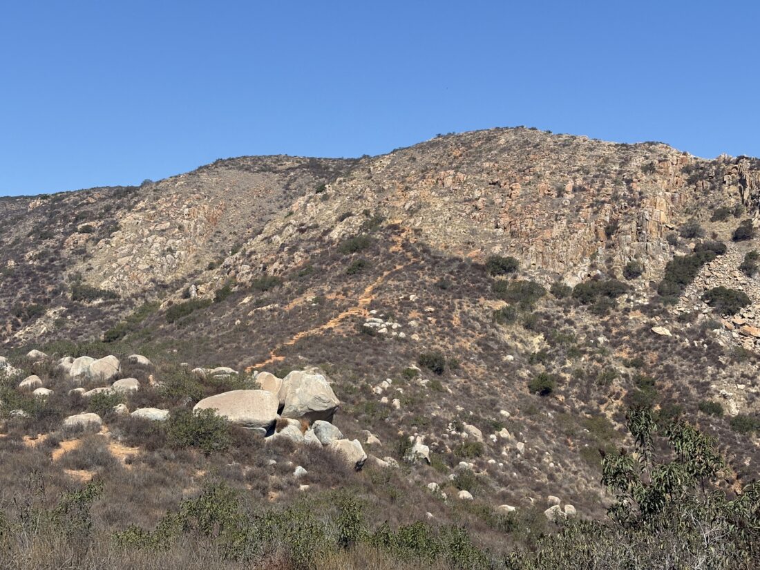
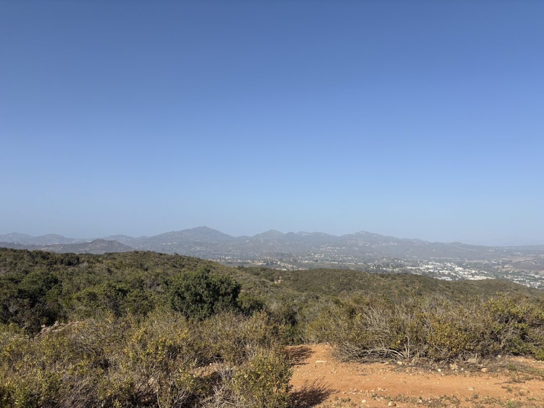
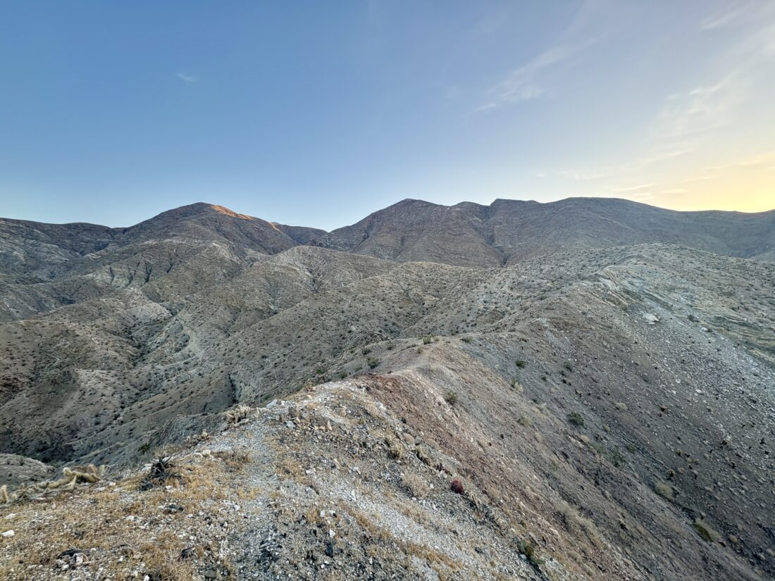
I enjoyed my burrito and chips while a fire danced in the fire pit. There was a slight breeze, so the fire burned quickly, which was fine as I was planning on an early morning. It was still quite warm, and I wondered how much it might actually cool off overnight. I enjoyed some night skies for a bit before turning in. The alarm went off at 4:30, and I quickly made some oatmeal and coffee. After breaking camp, I made the short drive back to the trailhead. This is the same trailhead from which to start for Villager or Pyramid Peaks. There was no moon to help illuminate the desert floor, but my headlamp guided me toward the Palo Verde Wash off to the northeast. Unlike my previous time climbing these peaks, I planned to ascend the ridge much sooner to avoid hiking through the rather rocky wash and the steep ascent that would otherwise be required. I found a cairn and a clear use trail right where my track indicated it would be. The temperature had only dropped to about 70° F, so I wasn’t sure I’d be able to summit today. I  figured if I could, at the very least, explore this route a bit. The use trail was really well defined, and I had no trouble working my way up the ridge. The sunlight began to fill the desert around me, illuminating the badlands around Fonts Point and the mountains to the west, but I was still in the shade from the mountains to my east.

Various cacti dotted the landscape as the trail steadily climbed. Like any route in the Santa Rosa Mountains, you had to deal with varying terrain; sometimes great footing, other times less than ideal. The trail did pass through a few cholla fields, so I tried to take extra care to avoid getting “cholla bombed”. Sadly, one did get me, but I got all the spines out that had made it through my pants and sock and into my ankle. As I drew near the junction where I needed to decide whether to continue toward Mile High or veer off to the northeast and ascend Rosa Point. I found a spot to take a break, enjoy a snack, and drink some electrolytes. I carry a Bluetooth temperature gauge, so I pulled up the app to see what it was reading.  Currently, it was 76°F, so maybe I would just summit Mile High and call it a day.

I set off along the trail for about another ½ mile and decided to call it. I had at least 2 more miles with over 2,000 feet still to climb to reach the summit. While I was carrying almost 4 liters of water, I wasn’t comfortable continuing. As the famous mountaineer, Ed Viesturs, says, “Getting to the top is optional. Getting down is mandatory.”

I popped in my headphones and began listening to various podcasts as I made my way back down. The day continued to heat up, and once I reached the desert floor, I pulled out my sun umbrella and cruised back toward the car.  Once there, I tossed in my gear and let my wife know I was safe and sound. The temperature was in the mid-80s, so I knew I made the right call. However, finding that use trail that allows skipping so much of the hiking in the wash was a win, and that will certainly be helpful when I return. All told, I spent 5:40 out on the trail, covering 8.1 miles with just over 2,753 feet of gain.

Buy Me a Coffee at ko-fi.com

I am an avid peak bagger, sometimes backpacker, and former sea kayaker living in San Diego. I am the co-author of Urban Trails: San Diego, available now!

In 2019, I became the third person to complete the San Diego 100 Peak Challenge. Not stopping with that accomplishment, I set my sights on the harder San Diego Sierra Club 100 Peak list, which I completed in 2021. In addition, I have conquered several Six-Pack of Peaks challenges (SoCal, San Diego, Central Coast, and both the Arizona-Winter and Arizona-Summer).

I am looking forward to exploring new summits and new adventures across the southwest. 

Along the Coast to Crest Trails…

I parked along Farmer Road just before sunrise. Slipping on my fleece, I set off for what I hoped to be the first of five hikes that would complete this year’s San Dieguito River Foundation’s Coast to Crest Challenge. A rooster announced the coming daylight as I made my way toward the junction with the Five Oaks Trail. I cruised along the trail, watching the sun reach out across the mountains. When the Five Oaks Trail rejoined the main trail, I turned back down to the trailhead instead of continuing onto the summit. I must admit it felt weird skipping the summit, but I had a lot of miles to cover today. The descent went quickly, and I was back at the car, ready for hike number 2, the Santa Ysabel Nature Loop.

I parked at the Visitor Center and set off along the trail. I opted to do the loop counterclockwise to get the climb over with first. Being mindful of my pace, I cruised along the loop. The hills were still green, and a small pond still held water. Once down from the ridge, I turned back toward the visitor center. Grazing cows were scattered about as I hiked along. Back at the car, I put on a dry shirt and first stopped at Don’s Market for a cold drink and then at Dudley’s Bakery for a tasty cinnamon roll before driving to San Pasqual Valley for hikes 3 & 4.

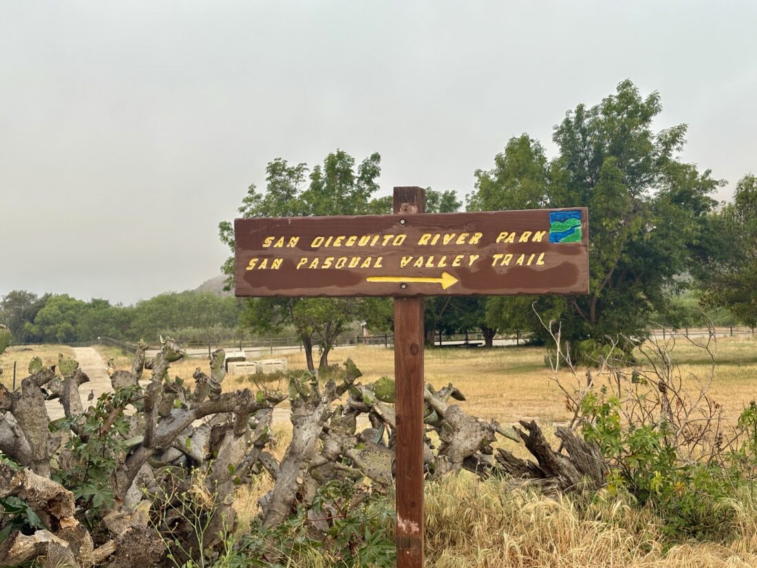
I pulled into the parking lot for the longest hike of the challenge, San Pasqual Valley to Mule Hill. The actual challenge is two hikes, but since I was trying to do this in a single day, I planned to link them. I had scouted the trail about a month earlier and knew it was almost completely flat.

I cruised along the farmlands, enjoying a podcast and the smell of fresh soil. As I neared Santa Maria Creek, I saw a sign saying the trail was closed due to herbicide spraying. Darn it! Why wasn’t this posted at the trailhead? I turned back; so much for doing all five sections in a day. While I didn’t do all of it, it was still a great day on the trail.


Buy Me a Coffee at ko-fi.com

I am an avid peak bagger, sometimes backpacker, and former sea kayaker living in San Diego. I am the co-author of Urban Trails: San Diego, available now!

In 2019, I became the third person to complete the San Diego 100 Peak Challenge. Not stopping with that accomplishment, I set my sights on the harder San Diego Sierra Club 100 Peak list, which I completed in 2021. In addition, I have conquered several Six-Pack of Peaks challenges (SoCal, San Diego, Central Coast, and both the Arizona-Winter and Arizona-Summer).

I am looking forward to exploring new summits and new adventures across the southwest. 

Exploring San Pasqual Valley

In April, I hope to hike all 5 sections of this year’s Coast to Crest Challenge in a single day. I have hiked all the sections before, except for a portion in San Pasqual Valley. So, this morning’s goal was to scout this section before that attempt. I drove out to the trailhead under low clouds and parked in the empty lot. I gathered my gear, had one last drink of coffee, and set off along the trail. It passes by a collection of orchards and farmland as it works its way to the west. Quite a few benches dotted the trail, offering places to rest. Some workers were out tending the sod farm as the trail turned southward. Once it reached Bandy Canyon Road, the route again turned west.

Here, I followed the road for some time, with a portion passing the Verger Dairy and some farm workers’ homes before returning to a more protected trail. A lovely bridge crossed over the dry Santa Maria Creek. I continued on until I reached the Ysabel Creek Road Staging Area and turned back. I had hiked that portion of the trail a few years back and did not need to scout it again. I retraced my route, enjoying one of my podcasts, and soon was back at the car. It was a pleasant 5.5-mile jaunt.


Buy Me a Coffee at ko-fi.com

I am an avid peak bagger, sometimes backpacker, and former sea kayaker living in San Diego. I am the co-author of Urban Trails: San Diego, available now!

In 2019, I became the third person to complete the San Diego 100 Peak Challenge. Not stopping with that accomplishment, I set my sights on the harder San Diego Sierra Club 100 Peak list, which I completed in 2021. In addition, I have conquered several Six-Pack of Peaks challenges (SoCal, San Diego, Central Coast, and both the Arizona-Winter and Arizona-Summer).

I am looking forward to exploring new summits and new adventures across the southwest. 

Out to East Mesa High Point

With this early heat wave blanketing San Diego, I knew that I could not attempt any of my remaining peaks. So, once again, we looked over Ted’s remaining peaks and decided to knock out East Mesa High Point. A cotton-candy sky greeted us as we neared the parking lot. We paid our $10 day use fee and soon headed out. It was actually nippy and Ted opted to wear a fleece, while I went “bold” and started cold. We cruised up the Harvey Moore Trail, the sun peaking over the mountains to our east.

Unlike the last time I climbed this minor peak, I would try approaching it from the west side. We left the trail and began our climb. From the satellite imagery, I had a rough idea of where I wanted to begin working my way through the brush. I also brought some hand clippers to help trim our path to the summit. I found a fairly decent route through, and soon we were at the same spot I had declared as the summit last time. There is no register or benchmark, just some sweeping views of the east mesa.

After a few photos, we set off back down. We missed our exit route and followed another and this route turned out to be even better. So, if you are using this as a guide, look at our exit track for the easiest route. Once past the brush, we debated our options: loop around to see the Granite Springs Campground, retrace our route, or meander along some of the other trails. The latter won.

So, we hopped back on the Harvey Moore Trail and headed west until we reached the Dyer Springs Trail. This took us northward, crossing two small streams along the way. When it reached the Juaquapin Trail, we followed it to the south. Staying on it, we eventually reached the East Side Trail, which we would use to return to the car. Along the way, we crossed Juaquapin Creek, which was flowing nicely. Our loop around the East Mesa of Cuyamaca State Park was 8.0 miles in 3:38 with a total elevation gain of 1,165 feet.


Buy Me a Coffee at ko-fi.com

I am an avid peak bagger, sometimes backpacker, and former sea kayaker living in San Diego. I am the co-author of Urban Trails: San Diego, available now!

In 2019, I became the third person to complete the San Diego 100 Peak Challenge. Not stopping with that accomplishment, I set my sights on the harder San Diego Sierra Club 100 Peak list, which I completed in 2021. In addition, I have conquered several Six-Pack of Peaks challenges (SoCal, San Diego, Central Coast, and both the Arizona-Winter and Arizona-Summer).

I am looking forward to exploring new summits and new adventures across the southwest. 

Reaching Monument Mountain

With a series of storms on the way, I wanted to get another desert hike in before they arrived. I opted to return to Joshua Tree to hike up Monument Mountain, a peak on the Lower Peaks Committee list. Since it requires about 5 miles of off-road driving along Pinkham Canyon Road, I wanted to do it now in case there was an access issue. The road wasn’t too bad. I wouldn’t take a Civic on it, but nothing was too bothersome. The mountain is quite visible, with a prominence of over 1000 feet.

Mountain prominence is a measure of a peak’s vertical separation from its surroundings.

I parked near where several other hikers had started from and gathered my gear. Angling across the desert floor, I made my way to the base of a ridge. Double-checking my track, which I would do from time to time, I began my climb. The route was pretty uneventful; the ascent wasn’t too steep, except for one small section, and there were a few use trails.

The summit was actually hidden by the various ridges and minor false summits along the way. With regards to those, you can usually sidehill past them with no trouble. Finally, the well-defined summit came into view. I drew next to its base and worked my way up its rocky slope. At the summit, I found the register in good condition, along with the benchmark and two reference marks. I enjoyed a snack and the vistas. Once properly refueled and hydrated, I picked my way down the rocks and back onto the ridgeline. 

I was able to follow even more of the faint use trail on my descent. As I came down the final ridge, the sun’s glint bounced off my car, acting as a beacon. Along the desert floor, I spied several different flowers blooming.

Back at the car, I enjoyed some cold water before driving back along Pinkham Canyon. I stopped at the visitor center to give a quick report on the road and hike, knowing the storms might make that information worthless. The parking lot was full, and I had to circle around once to find a spot. I had considered making the hour drive to Malapei Hill and climb it, but opted not to deal with the holiday traffic and save it for another time. This was my 22nd LPC peak, and it took me 3:39 to hike the 5.8 miles.


Buy Me a Coffee at ko-fi.com

I am an avid peak bagger, sometimes backpacker, and former sea kayaker living in San Diego. I am the co-author of Urban Trails: San Diego, available now!

In 2019, I became the third person to complete the San Diego 100 Peak Challenge. Not stopping with that accomplishment, I set my sights on the harder San Diego Sierra Club 100 Peak list, which I completed in 2021. In addition, I have conquered several Six-Pack of Peaks challenges (SoCal, San Diego, Central Coast, and both the Arizona-Winter and Arizona-Summer).

I am looking forward to exploring new summits and new adventures across the southwest. 

A Veterans’ Day hike up El Cajon Mountain

Saturday was the County of San Diego Parks and Recreation’s 10th anniversary warrior challenge hike up El Cajon Mountain. Ted and I had done the same challenge on Memorial Day, and by repeating this hike for Veterans Day, we earned some additional patches and challenge coins! We found one of the last spots along the northbound Wildcat Canyon road and gathered our gear. At the trailhead, we signed in with the rangers, each grabbed our carabiner, a snack, and a photo together, then set off. The carabiners would be used to collect knots from each station along the route. Since we both had hiked this peak multiple times, we just threw it into cruise mode and motored along. We would pass fellow hikers from time to time, and even a couple already returning from the summit (we assumed they had timed their hike to enjoy the sunrise). The aid station at the one-mile mark wasn’t staffed yet, so we would have to grab our knot on the way back. We kept a solid pace as we pushed on toward the next station at the three-mile mark. That station was also not staffed yet, so we would also need to stop here on our descent.

The day was warming up, and that early start was a wise choice. Soon we passed that rusting truck, and thereafter the saddle between El Cajon and El Capitan. We had a quick break before the final steep push to the summit. The familiar green trail markers led us up the slope. A few hikers were milling around the summit, and I recognized James Alvernaz. I had met him a few weeks back at the parking lot at the Idyllwild Ranger station; he was headed up toward Tahquitz and I was off to the summit of San Jacinto. We recognized each other and chatted for a bit. After some snacks and grabbing a few photos, it was time to head down. Plus, there isn’t a lot of room at the summit, and it can get crowded up there.

The initial descent was a bit slow, as many other hikers were making their way up. But once we reached the saddle, the trail widened and we could usually pass without needing to stop. At the three-mile station, now staffed, we grabbed our knots, some snacks, topped off our water bottles with some cold water, and continued our descent. As we neared the one-mile station, we noticed a hiker in some distress, and stopped to see if we could help. Another hiker had been cruising down with us, and between the three of us, we got him some electrolytes and some quick energy gels. He had a companion with him, so we let him rest and let the electrolytes start to take effect. Just a few minutes later, a ranger drove up in a small cart, and we let him know there was a hiker in distress by the nearby kiosk. We later learned that they gave him a lift back to the trailhead.

At the one-mile station, we got our final two knots and a few more snacks. Now the conversation turned to essential matters—lunch. We mulled over the options as we continued down. Once at the trailhead, we collected our patches and coins and thanked the rangers and volunteers for their hard work. Once back at the car, we had settled on Board & Brew as our lunch spot. We hiked the 10.8 miles in 5:27. And remembering how we commented on the heat, the thermometer in the car read 88°F!


Buy Me a Coffee at ko-fi.com

I am an avid peak bagger, sometimes backpacker, and former sea kayaker living in San Diego. I am the co-author of Urban Trails: San Diego, available now!

In 2019, I became the third person to complete the San Diego 100 Peak Challenge. Not stopping with that accomplishment, I set my sights on the harder San Diego Sierra Club 100 Peak list, which I completed in 2021. In addition, I have conquered several Six-Pack of Peaks challenges (SoCal, San Diego, Central Coast, and both the Arizona-Winter and Arizona-Summer).

I am looking forward to exploring new summits and new adventures across the southwest. 
Up atop Viejas Mountain

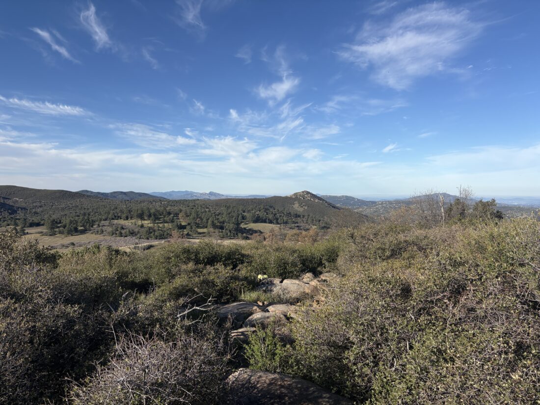
With Ted away at his youngest son’s “Family Weekend”, I went out with Becca to help her slowly work through her 100 peaks. We had some time constraints, so we settled on Viejas Mountain. I picked her up bright and early; thankfully, we got an extra hour of sleep due to the time change. As we drove to the trailhead, we caught up on our recent adventures — her trip to Seattle to visit her best friend and my attendance at the California Outdoor Recreation Partnership meeting in Carmel Valley. Approaching the trailhead, various signs warned of trespassing on private property and the threat of towing. I pulled up my OnX app and confirmed that the trailhead and the trail were in Cleveland National Forest land. I later learned that the issue is around the road itself. The property owner maintains the road that cuts through the CNF section, and that is the source of the conflict. After the government shutdown ends, I plan to ask CNF about the issue.

Becca remarked, “How would you know there is a trail here?” I said, “Research on doing the various hiking challenges,” and we set off up the rocky trail. The trail scales the west face of the mountain, working its way upward at a steady but steep grade. The trail wasn’t too rutted, but still as rocky as I remembered. The upside of this time was that the skies were clear and the rocks weren’t slick.

When we reached the ridgeline, a fellow hiker and her two dogs were returning from the summit. We chatted a bit about the signs at the trailhead, and she said she had spoken to CNF about it, and they weren’t going to tow. She headed back down, and we continued along the ridgeline to the summit.

At the summit, we posed for a few photos, and I looked again for the actual benchmark. The last time I was here, it was half-covered by the wind shelter. This time, I could not locate it at all. Since we needed to be mindful of the time, we did not linger and began our return. Becca had never learned that you should extend your trekking pole length on a descent, and realized how much adding just a touch of length really helped. Finally, the car came back into view, and our adventure was drawing to a close. Back at the car, we were glad we started early, as the day had warmed up. This hike offers no shade except when the sun is behind the mountain. I recorded us hiking 2.9 miles with 1,455 feet of gain.


Buy Me a Coffee at ko-fi.com

I am an avid peak bagger, sometimes backpacker, and former sea kayaker living in San Diego. I am the co-author of Urban Trails: San Diego, available now!

In 2019, I became the third person to complete the San Diego 100 Peak Challenge. Not stopping with that accomplishment, I set my sights on the harder San Diego Sierra Club 100 Peak list, which I completed in 2021. In addition, I have conquered several Six-Pack of Peaks challenges (SoCal, San Diego, Central Coast, and both the Arizona-Winter and Arizona-Summer).

I am looking forward to exploring new summits and new adventures across the southwest. 

Alone on South Fortuna

For some reason, I had the desire to climb the South Fortuna Stairs, so I pulled into the San Diego River Crossing Staging Area and grabbed my gear. I headed down the service road to the river crossing. The river was almost completely stagnant as I walked across the small weir. From there, I followed the San Diego River Crossing Trail under the warm sun up to the junction with the Suycott Valley Trail. Now, to lose that elevation that I just gained to connect with the South Fortuna Trail. Being early afternoon on a weekday, there was not another visitor to be seen.

After a short climb onto the ridge, the stairs started to come into view. While it’s not the Manitou Incline, it is still a good, challenging climb. Once I got past the stairs, I still had a bit to go to the actual summit. It was a nice, clear day, so the other peaks of Mission Trails were standing proudly. Maybe someday I will finally do them all in one day…

After a quick break, I continued northward toward the Fortuna Saddle. I opted not to climb North Fortuna today and descended back down to Suycott Valley Trail from the saddle. Along the way, I passed a small memorial for someone who I later learned recently died there in a mountain biking accident. Throughout the hike, the buzz of small planes and the occasional military aircraft filled the air, but I also heard a helicopter. Looking off to the east, I spied Rescue 1 flying toward the Climbers Loop. It appears a climber had taken a fall, and a rescue was underway. I never found out more about the incident. When I arrived back at the trailhead, Mission Gorge northbound was closed. The entire hike was 5.2 miles, in 2:34, with a healthy 1,265 feet of gain. 


Buy Me a Coffee at ko-fi.com

I am an avid peak bagger, sometimes backpacker, and former sea kayaker living in San Diego. I am the co-author of Urban Trails: San Diego, available now!

In 2019, I became the third person to complete the San Diego 100 Peak Challenge. Not stopping with that accomplishment, I set my sights on the harder San Diego Sierra Club 100 Peak list, which I completed in 2021. In addition, I have conquered several Six-Pack of Peaks challenges (SoCal, San Diego, Central Coast, and both the Arizona-Winter and Arizona-Summer).

I am looking forward to exploring new summits and new adventures across the southwest. 

Returning up Van Dam Peak

Continuing to push toward Ted Markus to complete the 100 Peak Challenge, I suggested we hit a couple of local peaks after work. Our first peak was Van Dam Peak, a small peak near the I-15 and CA-56. This peak is very popular with mountain bikers, so climbing this peak during off-hours is a safer call. We parked next to the school and started our ascent. We could see how the trail has been enhanced for mountain bikers; built-up turns and jumps being the most obvious. 

Soon we found ourselves at the summit, took a few quick photos, and hustled back down as we wanted to grab one more peak before meeting our wives for dinner. The hike was 1.37 miles long, which we did in 37 minutes, and had an elevation gain of 350 feet. 


Buy Me a Coffee at ko-fi.com

I am an avid peak bagger, sometimes backpacker, and former sea kayaker living in San Diego. I am the co-author of Urban Trails: San Diego, available now!

In 2019, I became the third person to complete the San Diego 100 Peak Challenge. Not stopping with that accomplishment, I set my sights on the harder San Diego Sierra Club 100 Peak list, which I completed in 2021. In addition, I have conquered several Six-Pack of Peaks challenges (SoCal, San Diego, Central Coast, and both the Arizona-Winter and Arizona-Summer).

I am looking forward to exploring new summits and new adventures across the southwest. 
Climbing Bernardo Mountain

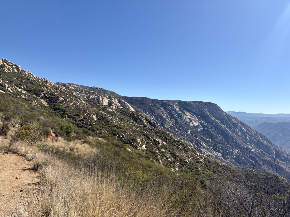
I met Becca at the Piedras Pintadas Trailhead for a hike up Bernardo Mountain. She had never climbed it, and since she only had a few hours, this seemed like a perfect choice. We finally had our first heat wave, so we agreed on an early start to try to beat the heat. The parking lot was empty when I arrived, and Becca arrived soon thereafter. We grabbed our gear and set off down the bike path, then across the bridge. The lake is still mostly dry, as work continues on the Lake Hodges Dam.

The summit was hidden under the marine layer as we turned off the main trail and onto the Bernardo Mountain Trail. A stream of trail runners came down the trail, and we let them pass. We continued along the trail, and mountain bikers would pass us from time to time, along with some other hikers and runners.

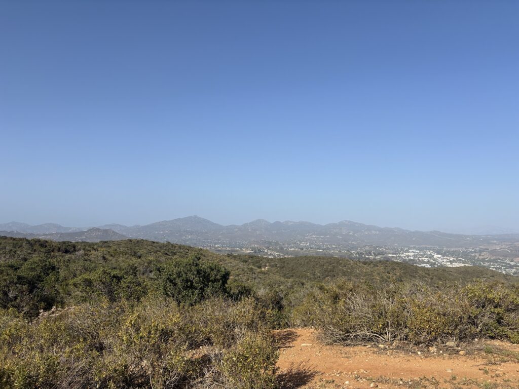
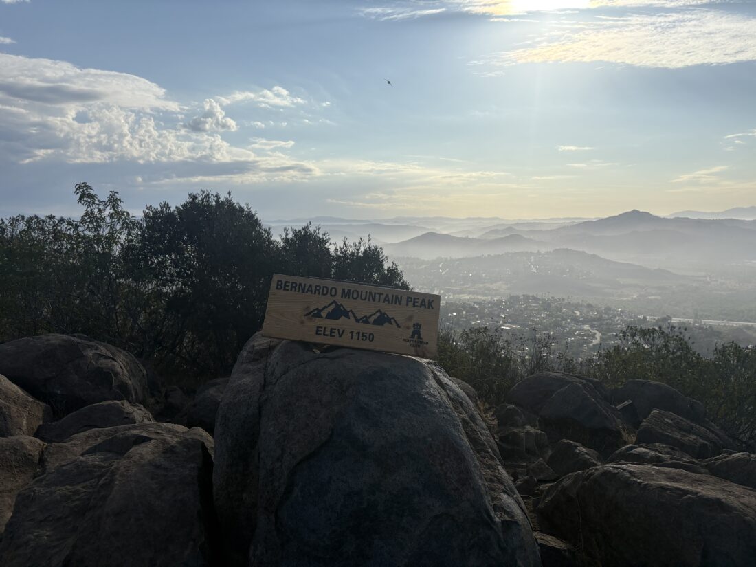
We reached the summit, and enjoyed it to ourselves for a bit, and took in the views, as the marine layer had burned off. Puffy clouds hung across the sky as we made our way back down from the summit. More and more hikers and bikers filled the trail, reminding me why I usually hike this peak during the weekdays. When we got back to the car, the temperature was in the mid-80s at 9:30 in the morning. I tracked the hike as 6.6 miles in length and did it in 2:59, and had 832 feet of gain.


Buy Me a Coffee at ko-fi.com

I am an avid peak bagger, sometimes backpacker, and former sea kayaker living in San Diego. I am the co-author of Urban Trails: San Diego, available now!

In 2019, I became the third person to complete the San Diego 100 Peak Challenge. Not stopping with that accomplishment, I set my sights on the harder San Diego Sierra Club 100 Peak list, which I completed in 2021. In addition, I have conquered several Six-Pack of Peaks challenges (SoCal, San Diego, Central Coast, and both the Arizona-Winter and Arizona-Summer).

I am looking forward to exploring new summits and new adventures across the southwest.