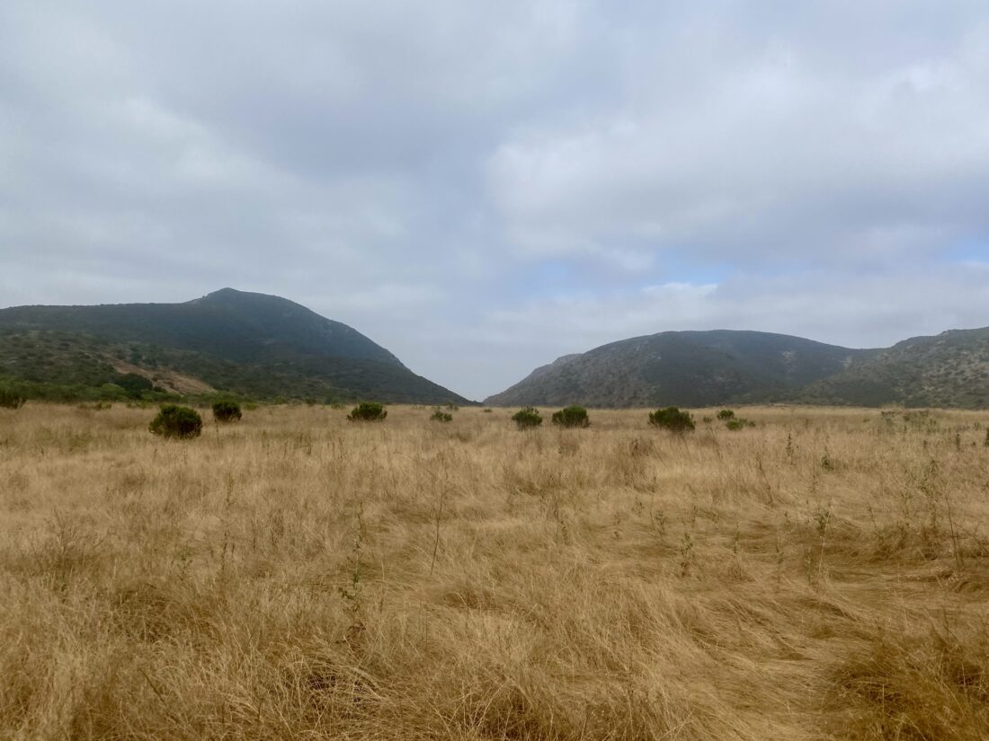
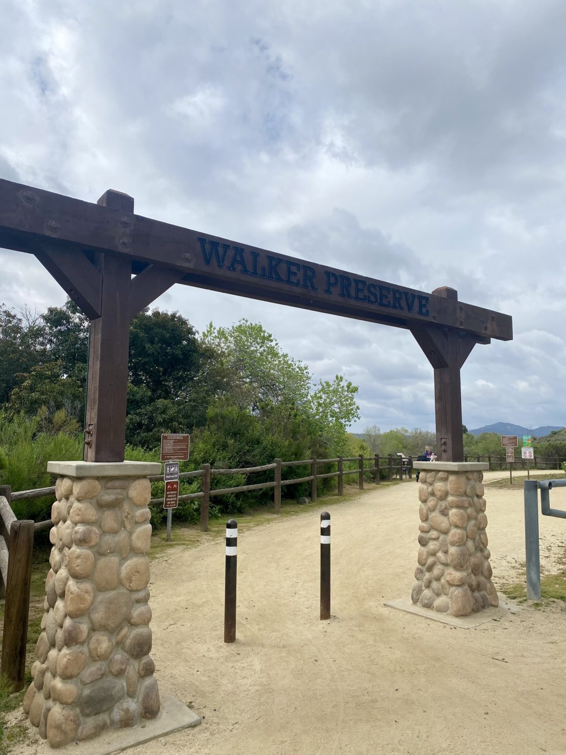
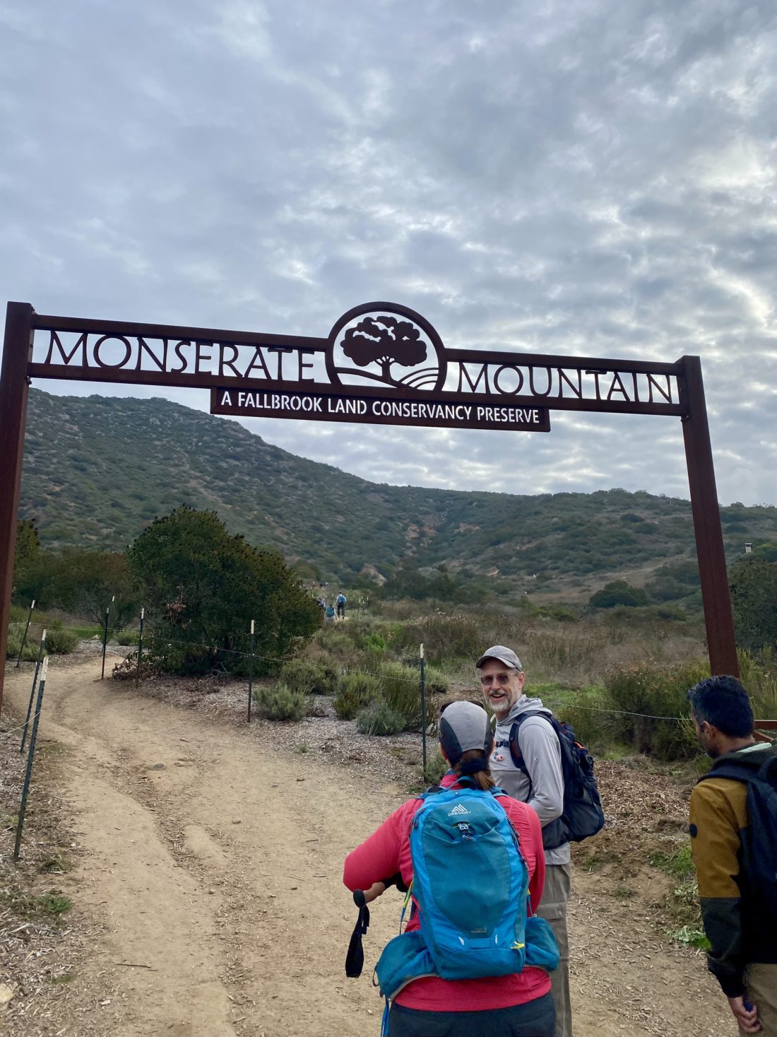
With some unpleasant weather in the forecast, our planned hike out in Anza-Borrego seemed not to be the wisest option. So, instead, we decided to do something shorter and closer to home. Rick suggested, “Why not do Monserate Mountain?” That hike worked for me. As I pulled into the parking area a bit before 8, there were a lot more cars than I expected. I spotted a tent covering set up near the trailhead, so something organized looked to be happening. I grabbed my gear to investigate. It turned out that this was the conditioning check hike for the Wilderness Basics Course (WBC) participants. While hanging around I spied Casey Wear-Molean milling about. We had a brief chat before I spotted Rick and Andrea pulling in. I headed over to them and filled them in on the extra hikers this morning. They quickly grabbed their gear and were ready to head off. Most of the WBC hikers had left, so we weren’t in the thick of it. Andrea was feeling a little off, so she hiked her own hike. Rick and I would stop periodically to let her catch up. Meanwhile, I picked Rick’s brain about my water caching idea for doing the CRHT. He said it sounded solid, too bad my neck issues are keeping a backpack off me for the time being.
He picked my brain about various desert peaks that they need (and I need again for my x2). Once at the summit, we took a short break, had a quick snack, and snapped a few photos. I learned that the WBC hikers needed to summit within 55 minutes (1.5 miles), but since we stopped several times to regroup with Andrea I could not simply look at my elapsed time and see if I made the cut-off. Thankfully, Strava calculated “moving” time, and according to it, we made it to the summit in 43:23.
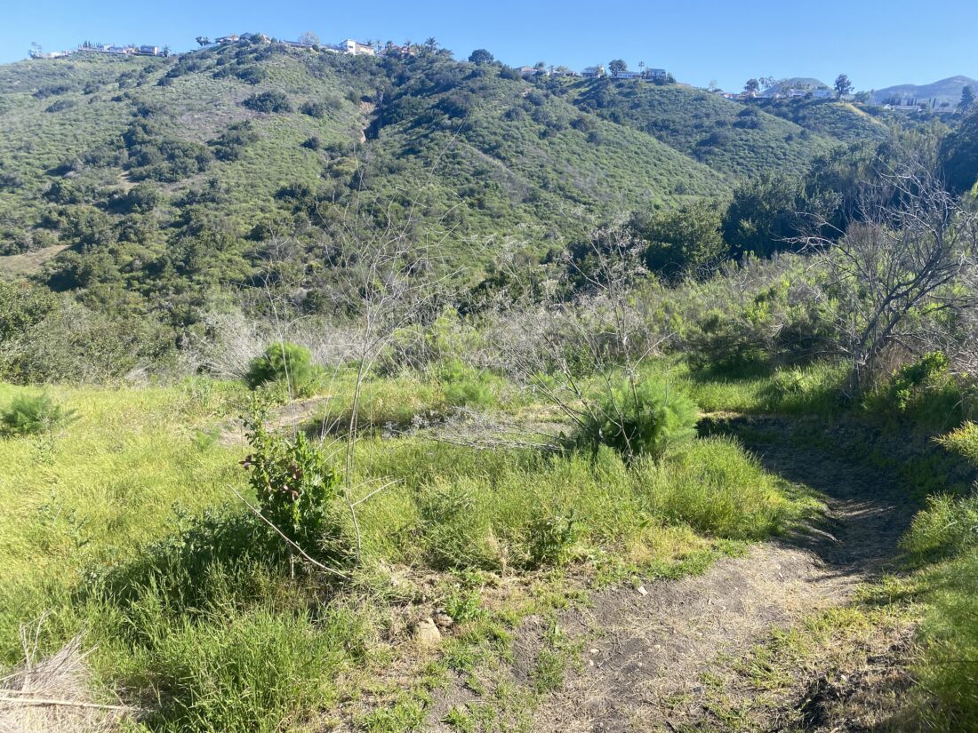
The rains had not come yet, so we opted to do the loop now that it was reopened. We made our way down from the summit and made a left turn toward the water tank. Part way down, a small spur trail led off to the side for about 20 feet, and according to Peakbagger, this tiny bump, Peak 1309, was in its database. Ascent recorded! 😉
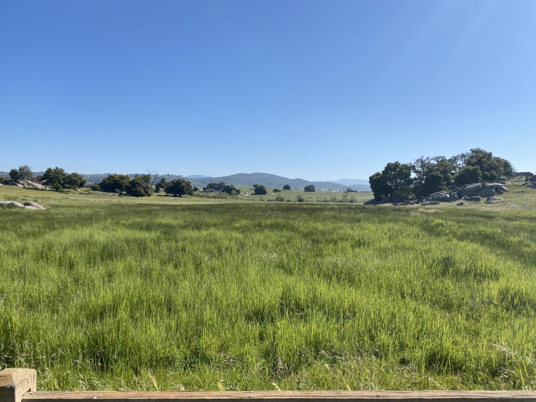
We made our way down the stair section and soon found ourselves on the road that services the water tank. Following it down a bit, another trail to our right caught our eye. Checking out maps, this was a shortcut back to a trail that would loop back to the beginning, so off we went. It had a “fun” little bit of steep rocky section, but I prefer that over boring pavement any day.
Once on the connecting trail, we passed a wire-fenced trail to our left. Continuing our theme of exploration, we took it. After a short bit, it linked up with what appeared to be a trail that starts in the development to the south. We instead turned right, back toward the Monserate Mountain trail. The trail hugged the contour of the mountain and crossed several gullies with some nice wooden bridges. We reached a junction, and the main trail appeared to continue westward back to the development, while the other trail, we assumed, linked with the trail we started on. Our assumptions were correct, and we found ourselves back on the familiar trail. Once at the trailhead, Rick and Andrea offered me a cold Diet Coke, which I gladly accepted. We chatted a bit more, but soon those forecasted showers started, so we bid farewell before it really started coming down. Hopefully, the weather will be better next weekend and we can go climb something in the desert. The discovery of this new alternative section for the Monserate Mountain loop has my full endorsement. I logged this route at 3:93 miles with an elevation gain of 1,234 feet. The moving time was 1:51.
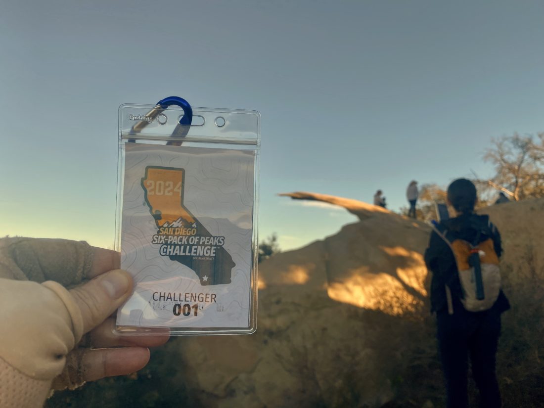
I am an avid peak bagger, sometimes backpacker, and former sea kayaker living in San Diego. In 2019, I became the third person to complete the San Diego 100 Peak Challenge. Not stopping with that accomplishment, I set my sights on the harder San Diego Sierra Club 100 Peak list, which I completed in 2021. In addition, I have conquered several Six-Pack of Peaks challenges (SoCal, San Diego, Central Coast, and Arizona-Winter). Beyond attempting the San Diego Sierra Club 100 Peak list a second time, I am looking forward to exploring new summits and new adventures across the southwest.