Petroglyph National Monument

I had hoped to hike the Piedras Marcadas Canyon trail with the family on the way into Albuquerque, but the afternoon rains prevented that from happening. Instead, I woke up early and drove out to the trailhead. Unlike the other trails in Petroglyph National Monument, this trail is open from sunrise to sunset. I parked the car in the empty lot and set off.

The entire trail is a 1.95 mile loop and fairly flat. Along the way I saw some incredible petroglyphs. I hustled back to the car to return to the hotel and rejoin the family.

After checking out of the hotel and having breakfast, we drove to the Petroglyphs National Monument Visitor Center to get our Junior Ranger Badge, then we set off to explore some of the petroglyphs found along the Boca Negra trail. 

While I would have loved to explore more, it was heating up and we had other sights to see.


Buy Me a Coffee at ko-fi.com

I am an avid peak bagger, sometimes backpacker, and former sea kayaker living in San Diego. In 2019, I became the third person to complete the San Diego 100 Peak Challenge. Not stopping with that accomplishment, I set my sights on the harder San Diego Sierra Club 100 Peak list, which I completed in 2021. In addition, I have conquered several Six-Pack of Peaks challenges (SoCal, San Diego, Central Coast, and Arizona-Winter). Beyond attempting the San Diego Sierra Club 100 Peak list a second time, I am looking forward to exploring new summits and new adventures across the southwest. 

Petrified Forest National Park

Our first real stop on our road trip to Little Rock to see my sister and her family was the Petrified Forest/Painted Desert. Since it was late July, I knew we were not going to be doing a lot of the trails scattered around the park. One hike we actually did was the Giant Log trail located just behind the Rainbow Forest Museum.

Once back in the cool, air-conditioned car, we continued driving through the park. We hit several of the major sights: Blue Mesa Road Loop, the Teepees, Newspaper Rock.  

The drive also took us into the Painted Desert. We again stopped at a few viewpoints to take in the views. I would love to come back here and do some longer hikes, even an overnight trip.


Buy Me a Coffee at ko-fi.com

I am an avid peak bagger, sometimes backpacker, and former sea kayaker living in San Diego. In 2019, I became the third person to complete the San Diego 100 Peak Challenge. Not stopping with that accomplishment, I set my sights on the harder San Diego Sierra Club 100 Peak list, which I completed in 2021. In addition, I have conquered several Six-Pack of Peaks challenges (SoCal, San Diego, Central Coast, and Arizona-Winter). Beyond attempting the San Diego Sierra Club 100 Peak list a second time, I am looking forward to exploring new summits and new adventures across the southwest. 

Camelback Mountain

My greatest worry about hiking Camelback was not the hike itself, but how I would feel after hiking The Flatiron the day before. If Piestewa is Phoenix’s Cowles Mountain, Camelback is their Iron Mountain. In addition to the heat, the other challenge for this hike is the parking at the trailhead. It is currently compounded by the fact that the other route to the summit is closed for maintenance, so everyone has to take the Echo Canyon trail. I had joined the Arizona Hiking Society’s Facebook group and inquired about how early one could start, as technically the trail is open from dawn to dusk. My son was getting his first vaccine shot in the mid-morning, so I had a hard time limit (and the reason why I had to stay longer in Phoenix). I was told the lot is open, and usually fills up quickly, so a pre-dawn start was recommended. I pulled into the lot, a bit before 5:00 am and there were a few cars already parked. I put on my headlamp, grabbed my poles, and set off.

The trail began as a wide dirt path that quickly brought me to a small saddle. The city lights from this spot were lovely. There is a sign informing you to stay on the trail, as a hiker recently fell to his death. This hike has a lot of rescues, and in fact, has a helipad to assist when necessary.  

After the saddle, a series of wooden stairs aided my ascent. Soon after that came one of Camelback’s signature features — the metal fence and railing section. The route became so steep that these were installed to assist hikers and to provide some safety from the drop as well. There were some notches in the rock, so I was able to get through this section without any trouble.

The route would transition mostly from a trail to a “choose your own adventure” up the steep boulders. I was thankful for my poles and my gloves as I picked my way up. Occasionally, trail signs would guide me along. Other markers were used to indicate reference spots on the mountain for search and rescue. The boulder section was nothing technical, but I am sure for someone who does not do a lot of desert hiking it can be quite the challenge.

Soon I found myself reaching the summit, just as the sun was breaking through the clouds to the east. What a sight. I had a 360-degree view of the Phoenix area, and not a lot of company on the summit. I chatted with a couple of fellow hikers for a bit before heading back down. My legs certainly were feeling the effort from yesterday’s climb up The Flatiron.

As I climbed back down, more and more hikers were making their way up. I was again glad that I started early. Around the halfway point, a gentleman in a knee brace asked me about my poles and if they helped. I told him that for me, yes. We then probably spent 10 minutes chatting about various hikes in the area, after all, I have 3 more years of my son attending ASU! 

At the top of that railing section, I had to wait several minutes to descend due to the increase in traffic. Like the day before, I snapped photos that I could not take on the way up. I thought about heading over to the cave but decided I should get down to make sure I got my son to his appointment. Once back at the parking lot, it had completely filled up and there were cars waiting. I tossed my gear in quickly and freed up a spot. With that my Six-Pack of Peaks Arizona Winter Challenge was complete! My stats for Camelback were a relaxing 2:30 to cover the 2.4 miles and its 1,264 feet of gain.


Buy Me a Coffee at ko-fi.com

I am an avid peak bagger, sometimes backpacker, and former sea kayaker living in San Diego. In 2019, I became the third person to complete the San Diego 100 Peak Challenge. Not stopping with that accomplishment, I set my sights on the harder San Diego Sierra Club 100 Peak list, which I completed in 2021. In addition, I have conquered several Six-Pack of Peaks challenges (SoCal, San Diego, Central Coast, and Arizona-Winter). Beyond attempting the San Diego Sierra Club 100 Peak list a second time, I am looking forward to exploring new summits and new adventures across the southwest. 

The Flatiron

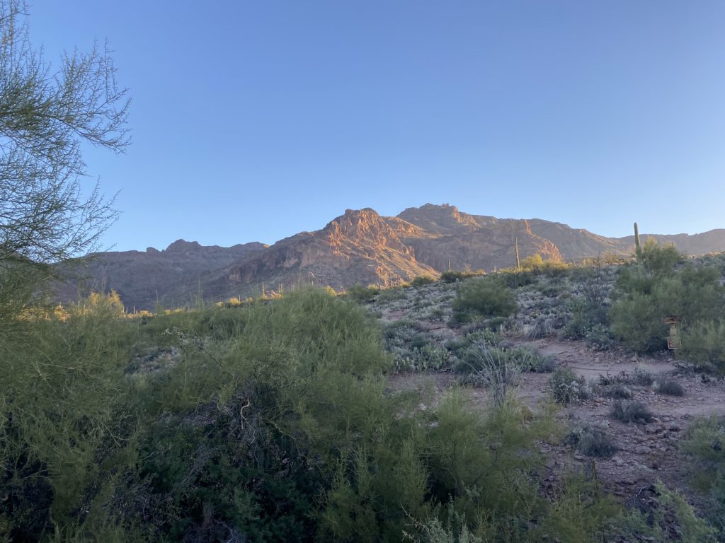
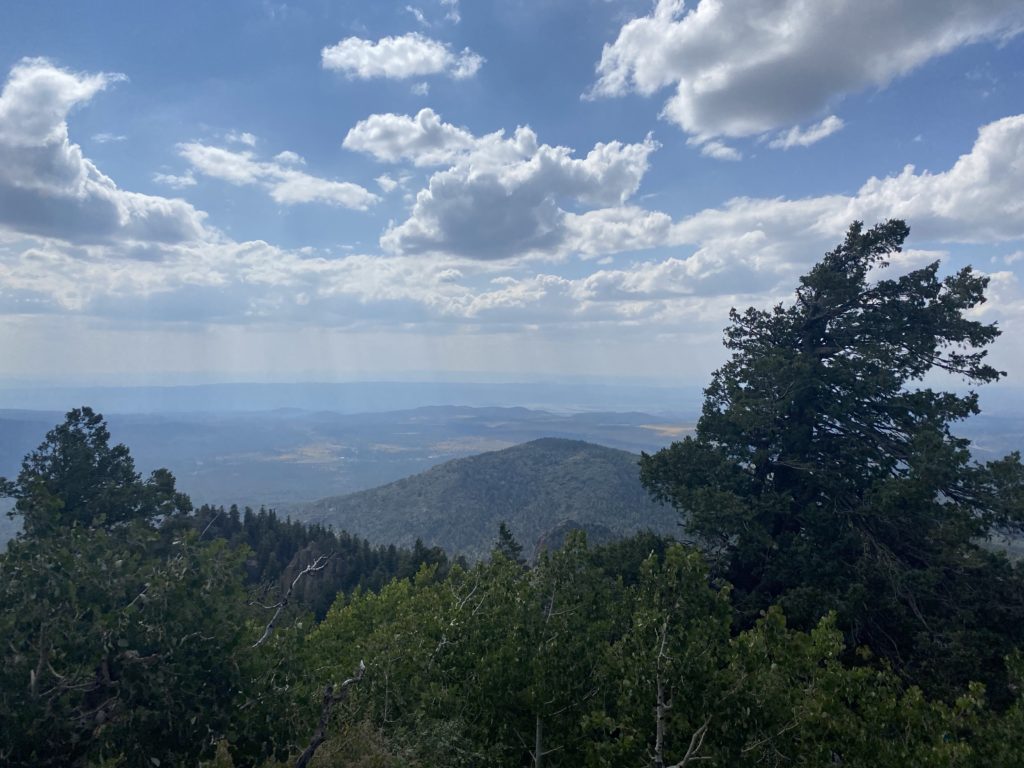
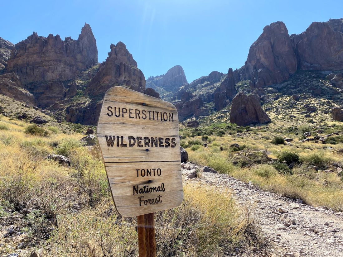
Since I needed to stay in Arizona for a few days after bringing my son back to ASU from his visit home for Passover, I set out to climb the last two peaks on the Six-Pack of Peaks Challenge-Arizona Winter list; The Flatiron and Camelback. Unfortunately, an early heatwave had descended on the region, pushing the highs in Tempe into the upper 90s. This certainly threw a wrench into my planning. In doing my research on The Flatiron, I also learned that the day-use area where the trailhead is located is only open from 6 am to 8 pm. I had hoped for a pre-dawn start to avoid some of the heat. I called the ranger at the Lost Dutchman State Park to inquire about what my options might be. She informed me that there was a self-registration kiosk and I can park in the day-use overflow lot. Problem solved! So, Monday morning another very early alarm went off in my hotel. I gathered my gear and made the 40-minute drive to the park. I filled out the registration form, slipped in my $7, and proceeded to the parking lot. I followed a short connector trail to the primary parking lot and then on to the Siphon Draw Trail. A quarter moon shone through the thin clouds above the Superstition Mountains.

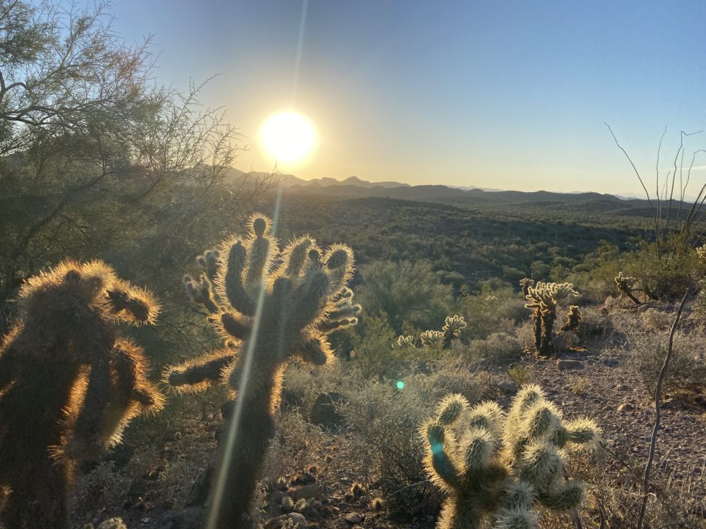
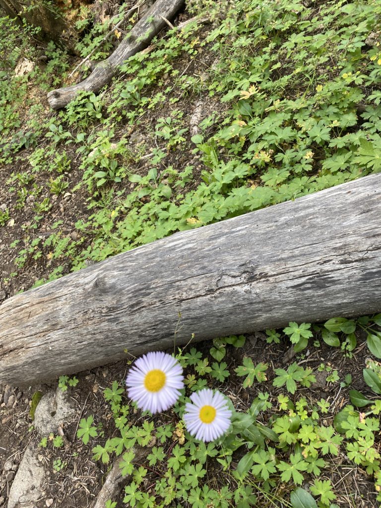
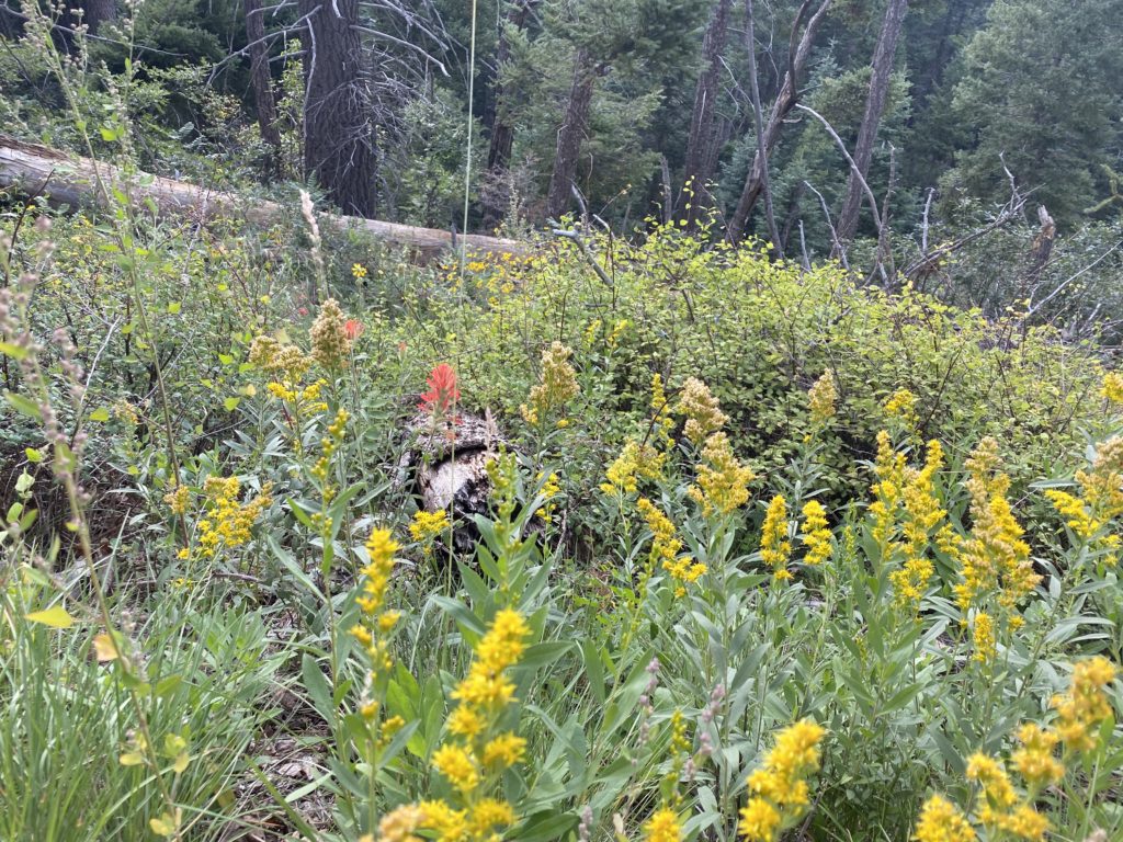
The first 1.25 miles or so are on a well-maintained trail that will take you to the mouth of the canyon. With my headlamp guiding me, I made my way along in the dark, gaining about 700 feet of elevation along the way. At the base of the canyon, the trail followed the left side and began to gain elevation a little more earnestly. Another hiker caught up with me, and we hiked along until we reached The Basin, a natural depression where millennia of wind and erosion has worn the red volcanic tuff into a Martian landscape. The sun had risen, so I stowed my headlamp. We stopped for a brief bit for me to take a few photos before continuing on. Many day hikers reach this point and turn back, as the next half of the hike is where the real challenge begins. 

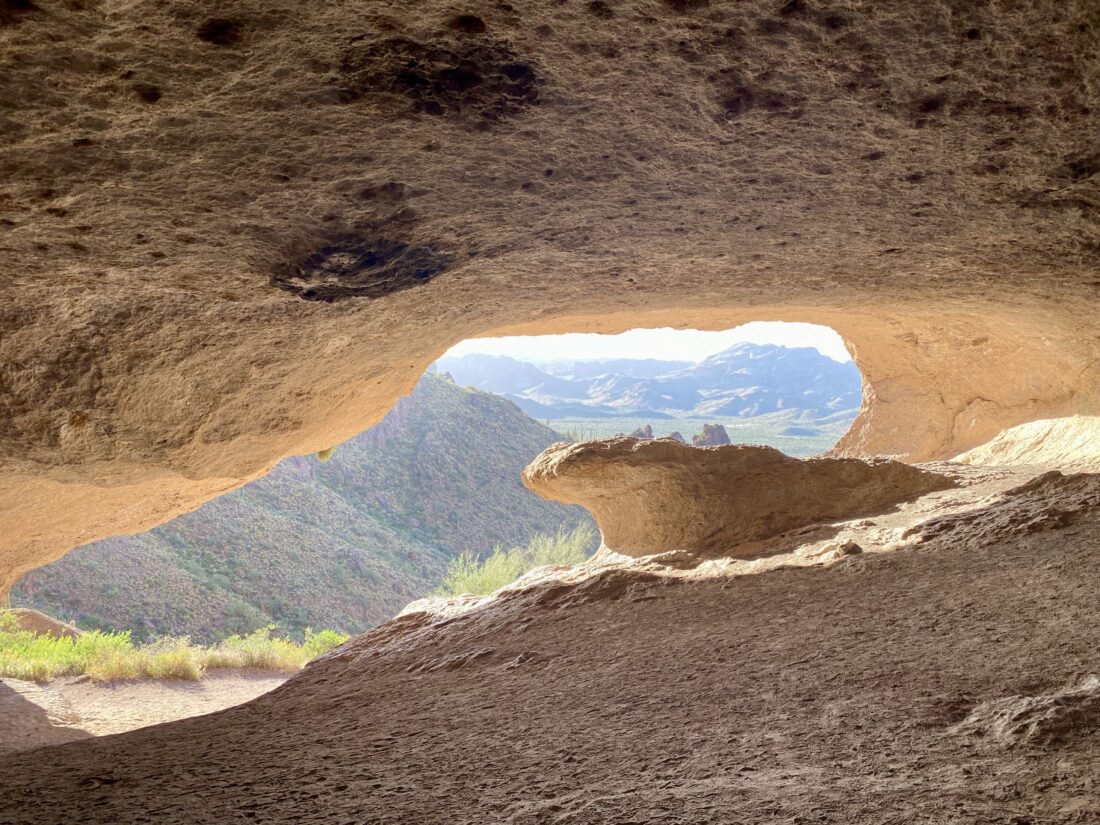
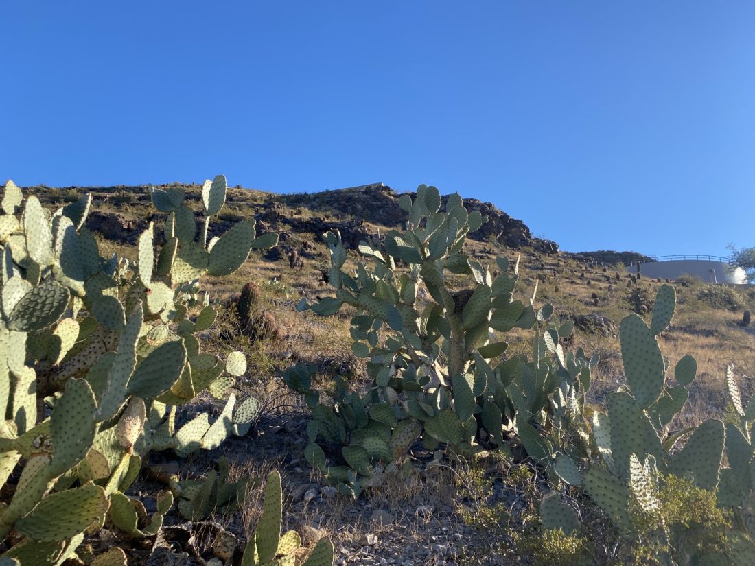
Climbing up and out of The Basin gave me a good look at the remaining climb. Over the next mile, I would gain about 1,500 feet of elevation. My temporary hiking buddy went on ahead, as I was keeping a measured but slower pace. I dropped down into Siphon Draw and began the steep climb. At this point, the trail had ended, and I was looking either for the white or blue blazes spray-painted on the rocks, or following my own route-finding skills. From all the trip reports, and also from the hiking buddy I had met, the key is to stay to the left side of the canyon. I kept climbing, stopping for a quick breather from time to time, turning back to enjoy the view, then turning back around to see The Flatiron slowly getting closer and closer. Finally, I came to probably the biggest challenge of the entire hike — “The Wall”. This is an 8-foot nearly vertical rock face that you need to scale. I opted to take the left side and use a sturdy tree as a handhold to help me scale it. My heart was racing as I pulled myself up and over. Once past this obstacle, it was just a short bit until I reached the plateau and the trail out to The Flatiron. 

As I sat alone on top of the Flatiron, I soaked in the incredible vistas. A chipmunk tried to become friends to see if I would share my orange. I declined. After about 15 minutes, another hiker joined me. We chatted a bit and exchanged cameras for some photos. I was ready to begin my descent and let him enjoy the summit by himself. At the top of the draw, I looked down and truly understood the sheer steepness of what I had climbed. Once back at “The Wall”, I examined the other side and decided that it seemed like a safer route to descend. I had no trouble working my way down. With that challenge completed, it was now just the careful steep descent ahead of me.

Making my way down, I started to encounter hikers making their way up. As I drew nearer to The Basin, I would encounter more and more hikers. Dropping back into The Basin, I took a short break to enjoy this natural wonder. Off to one side, there was a small pool of water, and I could only imagine what this must look like during a rainstorm. The day was starting to warm up and the sun was above the mountain, so I continued on down the trail.

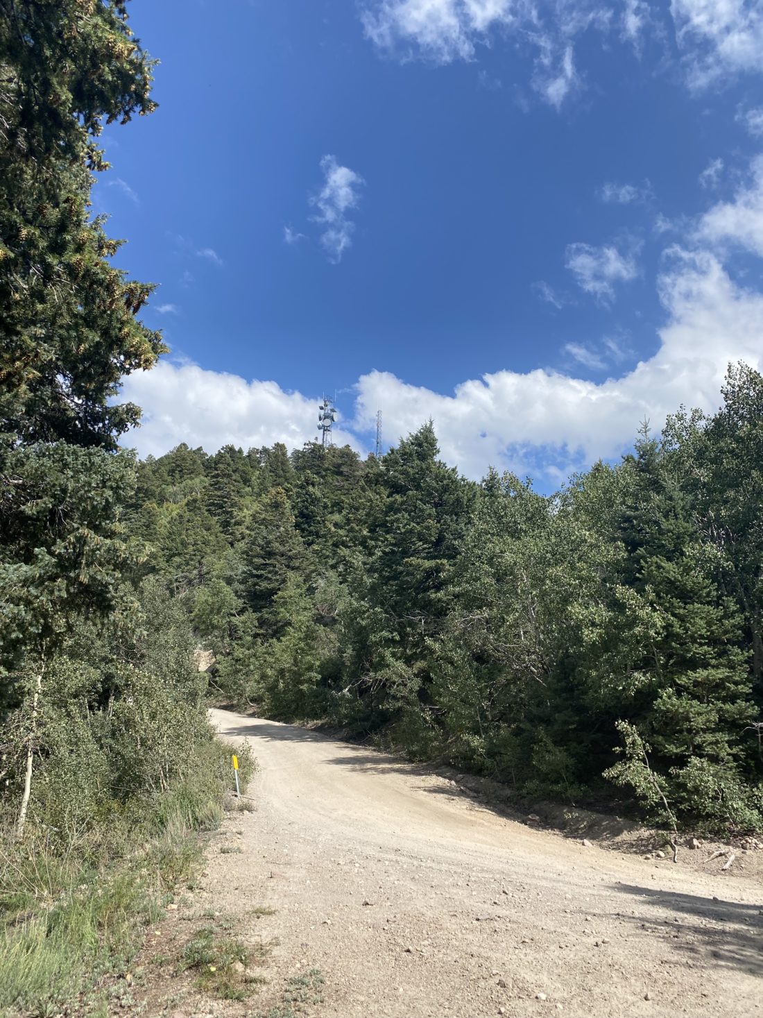
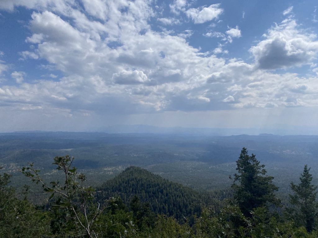
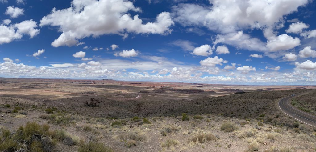
I would stop to take photos that I normally would have taken on the way up but mostly kept on trucking. I could see the state park off in the distance as I plodded along, knowing I had a cool drink in the car and A/C. This was clearly the hardest of the six peaks, but I had hiked the 5.8 miles and gained 2,831 feet in 6:15. Not too shabby! The thermometer on the car read 92°, so I had certainly made the right choice with that 4:30 AM start.


Buy Me a Coffee at ko-fi.com

I am an avid peak bagger, sometimes backpacker, and former sea kayaker living in San Diego. In 2019, I became the third person to complete the San Diego 100 Peak Challenge. Not stopping with that accomplishment, I set my sights on the harder San Diego Sierra Club 100 Peak list, which I completed in 2021. In addition, I have conquered several Six-Pack of Peaks challenges (SoCal, San Diego, Central Coast, and Arizona-Winter). Beyond attempting the San Diego Sierra Club 100 Peak list a second time, I am looking forward to exploring new summits and new adventures across the southwest. 

Piestewa Peak

I knew I had time for either Piestewa Peak or Camelback before it was time to head back to San Diego. I flipped a coin and Piestewa Peak won. Previously known as Squaw Peak, this mountain was renamed in 2003 to honor Lori Ann Piestewa, the first known Native American woman to die in combat in the U.S. military. I knew this would be a crowded ‘Cowles’-like peak, but since I was trying to complete the Six-Pack of Peaks – Arizona Winter Challenge, I needed to climb it. As I neared the trailhead, I was prepared to circle for a parking spot, but as luck would have it, I snagged one! It had warmed up a touch, so I changed into one of my cooler shirts and set off.

The beginning of the trail is wide and has constructed steps and cement curbs. There a sign warning hikers about the dangers of heat, and to use headphones. This peak really is the Cowles of Phoenix. I wonder if Camelback is the same? I followed the stream of people along Trail 300-Summit Trail to a saddle around the .5-mile mark. Here, there is a junction with Trail 302. Staying on Trail 300, the climb began to get a bit steeper. Hikers and tourists would pass me coming down from the peak. The rocky trail would have a few sections of railing, but after climbing Picacho Peak, this seemed overkill, but given the level of traffic on this trail, necessary. After the final push I was on the summit. Given how crowded it was I did not stay long. In fact I did not bother to photograph the benchmark (I knew it was heavily scarred).

I took my photos and set off back down. Having to keep my face covering on due to crowds did mean I drank less than usual, and I could tell the difference. Soon I was back at my car and could properly rehydrate. All told, I did the 1.97 miles in 1:46 and climbed 1,125 feet. Now for a shower and the 6-hour drive home.


Buy Me a Coffee at ko-fi.com

I am an avid peak bagger, sometimes backpacker, and former sea kayaker living in San Diego. In 2019, I became the third person to complete the San Diego 100 Peak Challenge. Not stopping with that accomplishment, I set my sights on the harder San Diego Sierra Club 100 Peak list, which I completed in 2021. In addition, I have conquered several Six-Pack of Peaks challenges (SoCal, San Diego, Central Coast, and Arizona-Winter). Beyond attempting the San Diego Sierra Club 100 Peak list a second time, I am looking forward to exploring new summits and new adventures across the southwest. 

Fremont Saddle

Since we could not head back to San Diego until my son’s class was over in the mid-afternoon, I planned to squeeze in two more peaks on this trip. I had debated attempting Flatiron, but opted to hike Fremont Saddle instead. Once again, I left my hotel in the predawn darkness and drove the 50 minutes to Peralta Canyon.

After driving down a nicely groomed dirt road for about 6 or 7 miles, I came to a large parking lot. There were a few cars here, but still plenty of parking. I used the pit toilet to recycle some coffee before heading out. I signed the register and headed off. 

The trail would work its way up the canyon toward the saddle. The skies were a bit overcast, so the light was a bit flat for the photos, but still the scenery was lovely. I found the trail fairly easy to follow, as portions of the trail were marked with horse cairns (aka horse poop). I was keeping a good pace as I neared the saddle.

As I crested the saddle, the 1,000 foot Weaver’s Needle stood before me. Better yet, the skies had opened a bit, and I had some nice light to take my photos. As I stood there taking in this incredible sight, the wind was blowing a bit, so I put on my windbreaker. I explored the saddle some, but I still had another peak to climb. 

The return to the car went quickly, just like yesterday, I started to encounter fellow hikers making their way up. I chatted with one gentleman for a bit and he recommended I join the Arizona Hikers Facebook group. I figured my son has three more years at ASU, and they could be a good hiking resource for me. Back at the car, the lot had almost filled up. I tossed in my gear and headed back into town to climb Piestewa Peak. The final stats were 4.5 miles in 2:45 with 1,327 feet of gain.


Buy Me a Coffee at ko-fi.com

I am an avid peak bagger, sometimes backpacker, and former sea kayaker living in San Diego. In 2019, I became the third person to complete the San Diego 100 Peak Challenge. Not stopping with that accomplishment, I set my sights on the harder San Diego Sierra Club 100 Peak list, which I completed in 2021. In addition, I have conquered several Six-Pack of Peaks challenges (SoCal, San Diego, Central Coast, and Arizona-Winter). Beyond attempting the San Diego Sierra Club 100 Peak list a second time, I am looking forward to exploring new summits and new adventures across the southwest. 

Picacho Peak

After summiting Wasson Peak in the morning, my next climb was Picacho Peak. I had driven past it the day before, and in looking at it I couldn’t tell how there’s possibly a trail to the top. While the entire hike was going to be just two and a half miles, it was going to be an adventure. I paid my $7 entrance fee at the visitor center and continued on to the parking lot. The main lot was full, so I parked about .3 mile away. I changed into cooler shorts and refilled my water bladder before setting off down the road. Sure enough, as I reached the main lot, two parking spots opened. Oh well..

I followed the signs to the Hunter Trail and began my climb. It starts off relatively easy for .5 miles, gently climbing up toward the rock wall looming ahead of you. As I approached the rock wall, the trail turned south and hugged its base. Around 0.65 miles in, I reached a section with a slight overhang which formed a shallow cave. The trail now doubled back on itself and then reached a saddle. There were a few folks hanging out here, enjoying the views, and I snapped a group photo for some fellow hikers. I took a short rest, as the real challenge was about to begin. I put on my climbing gloves, stowed my trekking poles, and set off.

Crossing over the saddle, cables now lined the route. While there was one section before, here they really were needed as the trail curves steeply down along the west face of the wall. All told, I lost some 300 feet of elevation. Photos don’t quite capture the steepness nor the challenge this can pose.

Around 1.0 mile, the Hunter Trail intersects with the Sunset Trail. Now the trail would become more serious. I would use the cables to climb up steep rocky sections, or to steady myself as I crossed narrow ledges. I finally reached a small bowl on the west side of the peak and broke out my poles again. The biggest challenge still lay ahead — the steepest cabled section on the mountain. The cables are nearly vertical here. I carefully found my footholds and pulled myself upward. Once through the metal doorframe, I had one more cabled section to manage. This short section requires you to put your trust completely on a wooden plank and the safety wire to cross the 20 feet. Once past that section, it is a short climb to the actual summit. The area was under a high wind advisory, so I made sure to tighten my hat while on the summit. I relaxed for a bit, enjoying a snack and chatting with some other hikers. The views were tremendous. I could spot Wasson Peak off in the distance, Mt. Lemmon’s snow capped peak to the southeast, and below me the Dairy Queen that would be a post hike treat.

But this journey was not yet over, I needed to descend, so I set off, taking my time on each cable. No need to rush and make a mistake. I carefully worked my way down, at times sitting on my butt to make it easier. When the final section of cable appeared below the base of the saddle, A feeling of accomplishment swept over me. I thought to myself, “I need to stop by the visitor center and see if they have a shirt or patch”.

Pointing back at the summit

Just before I reached the end of the trail, I stopped and took a selfie pointing back to the summit I had just conquered. After changing into some post-hike clothes, I drove down to the visitor center, and yes, I got the t-shirt. From there, I stopped off at the Dairy Queen and ordered myself a nice Blizzard, then set off to Tempe and see my son.


Buy Me a Coffee at ko-fi.com

I am an avid peak bagger, sometimes backpacker, and former sea kayaker living in San Diego. In 2019, I became the third person to complete the San Diego 100 Peak Challenge. Not stopping with that accomplishment, I set my sights on the harder San Diego Sierra Club 100 Peak list, which I completed in 2021. In addition, I have conquered several Six-Pack of Peaks challenges (SoCal, San Diego, Central Coast, and Arizona-Winter). Beyond attempting the San Diego Sierra Club 100 Peak list a second time, I am looking forward to exploring new summits and new adventures across the southwest. 

Wasson Peak

Since I was bringing my son home from ASU for Passover, I decided to extend the trip and enjoy some hiking around Arizona. Originally, I had planned to visit Organ Pipe National Monument, do some hiking and camp overnight, then continue to Tucson and visit the Pima Air & Space Museum. Afterward, I would climb some of the peaks on the Six Pack of Peaks Challenge – Arizona Winter edition. But as I worked out the timing, I had to drop the visit to Organ Pipe. Instead, I drove straight to Tucson and spent the afternoon exploring the museum. The next morning I woke very early to reach the trailhead at dawn for Wasson Peak in Saguaro National Park. It was a short 30-minute drive from the hotel. As I pulled into the parking lot, a single car was parked there. I gathered my gear, tossed on my fleece, and set off toward the summit. There was a warning sign about hiking in the desert, but I did not need to worry about the heat today. The rocky trail was nice and wide and lined with beautiful ocotillo, prickly pear, and saguaro, of course. 

Reading the trail guide on socalhiker.net, I was keeping my eye out for one junction that could be missed. However, as I reached it, rocks were laid out across the wash that I had been walking and the stone steps were very visible. It felt odd to be hiking in the desert on a maintained trail, as so much of what I have been doing lately has been open desert hiking. I almost did not know what to do! After about a mile, I stashed my fleece in my pack and continued on.

The King Canyon Trail finally reaches a saddle and intersects with the Sweetwater Trail. Turning left toward the summit, a trail sign informed me it was a “Foot Trail Only: No Stock” allowed from this point on. So, those using a burro will have to end their journey here. It was too bad, a burro might have made the upcoming steep switchbacks a bit easier, although they were not really that bad. Part way up, I did find a closed mine entrance, which I stopped and peered into for a bit before continuing on. It was near here that I met the hiker from that car in the parking lot. We chatted for a bit before each continuing on our hikes.

The trail then intersected with the Hugh Norris Trail around the 3.1-mile point. From here, I followed the ridge out to the top of Wasson Peak. Atop the summit, I had some great views. I could see all of the Tucson Mountains, the city of Tucson, the Santa Catalina Mountains, the Rincon Mountains, and Picacho Peak with its distinct shape, out to the northwest. I found one reference mark, but none of the other marks. There was a register box, but its pages were filled, so I could not add my name. Since this was to be the first of two peaks today, I did not linger too long at the summit.

Once back at that first intersection, I debated taking the Hugh Norris Trail back down instead. Often this peak is done as a loop. That would have added an extra mile or so to the hike and I wanted to save as much energy as I could to climb Picacho Peak. As I made my way down, I passed more hikers making their way up to the summit. Soon, I was back at the car, having covered 6.75 miles in 3:18 with an elevation gain of 1,850 feet. Now for the 50-minute drive to Picacho!


Buy Me a Coffee at ko-fi.com

I am an avid peak bagger, sometimes backpacker, and former sea kayaker living in San Diego. In 2019, I became the third person to complete the San Diego 100 Peak Challenge. Not stopping with that accomplishment, I set my sights on the harder San Diego Sierra Club 100 Peak list, which I completed in 2021. In addition, I have conquered several Six-Pack of Peaks challenges (SoCal, San Diego, Central Coast, and Arizona-Winter). Beyond attempting the San Diego Sierra Club 100 Peak list a second time, I am looking forward to exploring new summits and new adventures across the southwest. 

Soldier Pass

I opted to skip hiking to Devil’s Bridge and went instead up Soldier Pass. Since the lot doesn’t open until 8, I parked about a mile away at the Sedona Dog Park and road walked it in. The air was cooler today, and some clouds dotted the sky. I quickly started making my way up the trail. The views were some of the best of the trip. The light on the rocks made for some great photos, and I felt like I was grabbing my camera every 20 yards.

The first point of interest was Devil’s Kitchen. This is a 150-foot wide sinkhole, and it was quite impressive. A bit after that, I reached the Seven Sacred Pools. A few had some stagnant water in them, and I’m guessing it must the something to see them flowing. But the star attraction was the cave just off the main trail near Brins Mesa. 

Just as I reached the turn-off for the climb up to it, I encountered my first set of hikers, also headed to the same spot. They had parked just outside the gate. Having almost two miles of solitude was lovely. As we drew closer, I could hear voices echoing from within the cave. Once at the cave, three other ladies were there. They had come via the Jordan Trail. With a bit of effort, we made it into the cave. I marveled at the size of this wonder and its importance to the Native Americans.

I scrambled back down, as I did have an 11am check-out time and wanted to grab a shower before hitting the road back to Tempe. The trail was now filling up with people making their way up. I offered guidance to several folks on where to make the turn. A good sized crowd milled around the Seven Sacred Pools, as it is a stop on some of the Jeep tours. That early morning start was so worth it.

As I walked passed the now full lot, my curiosity had me glance over at the car those two ladies had parked. Yup, a citation was tucked under their wiper blade. That was going to be one expensive hike. I began walking back to my car, watching an almost steady stream of cars head to the trailhead, only to be disappointed. A local drove by and asked if I wanted a quick lift back to the dog park. I pulled up my mask and hopped in. He said he often shuttles folks between the park and the trailhead since there is almost no shoulder. He pointed out that the Sunrise Trail helps some, and I mentioned I used it coming up. I thanked him for the assistance. I knew my tracking was going to be funky with that last mile, only to discover I forgot to turn it back on when I left the cave. Oh well.


Buy Me a Coffee at ko-fi.com

I am an avid peak bagger, sometimes backpacker, and former sea kayaker living in San Diego. In 2019, I became the third person to complete the San Diego 100 Peak Challenge. Not stopping with that accomplishment, I set my sights on the harder San Diego Sierra Club 100 Peak list, which I completed in 2021. In addition, I have conquered several Six-Pack of Peaks challenges (SoCal, San Diego, Central Coast, and Arizona-Winter). Beyond attempting the San Diego Sierra Club 100 Peak list a second time, I am looking forward to exploring new summits and new adventures across the southwest. 

Bear Mountain

After dropping my son off to spend his one-year dating anniversary with his girlfriend in Tempe, I opted to head up to Sedona for some hiking over the weekend. I had planned to try to hike out to Devil’s Bridge and then maybe try Doe Mountain afterward. But as I drove up to the trailhead, the parking situation looked worse than Mt. Woodson on the weekend. So, I decided to pivot to one of my alternate hikes. Boynton Canyon trailhead was nearby, so I decided to see if I could find reasonable parking there. Sadly, the lot was full and the roadside parking was also packed.

Instead, I opted to hike Bear Mountain, one of the peaks on the Arizona Summer Six Pack of Peaks Challenge. Figuring since this was a harder hike than the other two, it would be less crowded. As I pulled up to the trailhead, I saw that the small lot was full, and about 8 or so cars lined the roadside. Since this is also the same parking spot for Doe Mountain, I figured I would probably be ok with the amount of trail traffic.

I grabbed my gear and crossed the road to the trailhead. The trail starts off crossing a short, flat section before beginning its first climb. I knew from the research I had done, that I was in for a short but steep hike. The trail was fairly easy to follow and whenever there was some uncertainty, painted white markers pointed the direction.

After a steeper section, I found myself on a plateau. It was here I finally got to see the actual summit. Looking back, I was rewarded with some sweeping views.

The trail continued climbing, but at a much gentler grade for a bit. In fact, there were a couple of small descents just to keep me on my toes. Off to my right, was Fay Canyon. I had hiked this several years ago with my twins during a Thanksgiving vacation. I am pretty sure I could spot the rock arch in the cliff.  I took a short rest on a log at the saddle before the final steep push to the summit. Thus far, I think I saw about 10-15 hikers on the entire trail. With my break over, I began making my way up to the summit.

After about a quarter mile of climbing, I reached the end of the trail. I enjoyed another break, as well as the views. A rock pile served as the summit marker. I could see Bear Mountain – Middle Peak off to the northwest, but I did not feel the need to add another two miles to this hike. 

Looking back up

The hike back down was mostly uneventful. One bonus was that the vistas were easier to see hiking in this direction. Even though it was now mid-afternoon, I did encounter some folks heading up. I gave them some information about what lay ahead, suggesting possible turnaround points. Soon I found myself back off the mountain and making my way across to my car. The parking lot and roadside had thinned out. If I did not have plans to meet a college friend for dinner, I might have done Doe Mountain as well. All told this hike was 4.5 miles roundtrip with about 2,000 feet of elevation gain. 


Buy Me a Coffee at ko-fi.com

I am an avid peak bagger, sometimes backpacker, and former sea kayaker living in San Diego. In 2019, I became the third person to complete the San Diego 100 Peak Challenge. Not stopping with that accomplishment, I set my sights on the harder San Diego Sierra Club 100 Peak list, which I completed in 2021. In addition, I have conquered several Six-Pack of Peaks challenges (SoCal, San Diego, Central Coast, and Arizona-Winter). Beyond attempting the San Diego Sierra Club 100 Peak list a second time, I am looking forward to exploring new summits and new adventures across the southwest.