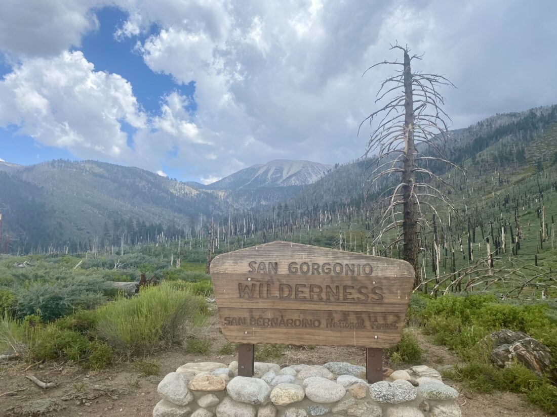
Secured another permit for an overnight adventure in the San Gorgonio Wilderness, to camp at Dry Lake. Ted Markus kindly decided to join me on this adventure. The plan was to hike up to Dry Lake, spend the night, hike up to the summit the following day, and then hike out. Initially, I was going to use my Osprey 34 Stratos as my pack, and while everything fit (included the required bear canister), it was a tight fit. So, I switched to my Osprey Atmos 65, with plenty of room for all my gear, plus this pack is a bit more padded. The Atmos 65 has a removable top section, and since I did not need it, I left it behind for this trip. Meanwhile, Ted showed up with a massively loaded pack. Pack weight would be a discussion we would have throughout the trip…


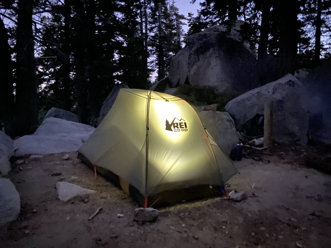
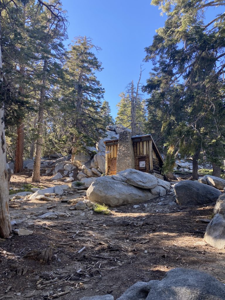
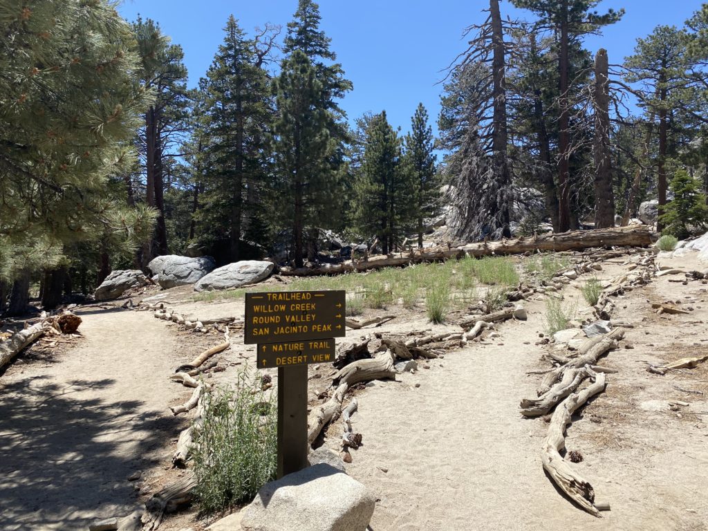
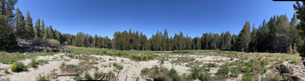
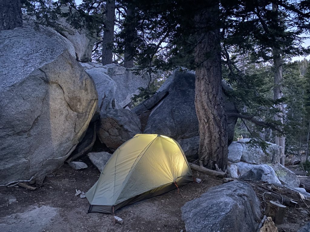
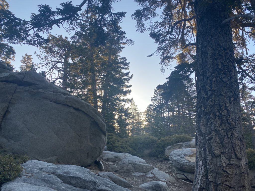
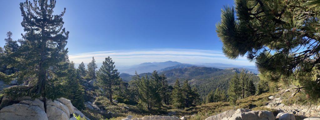
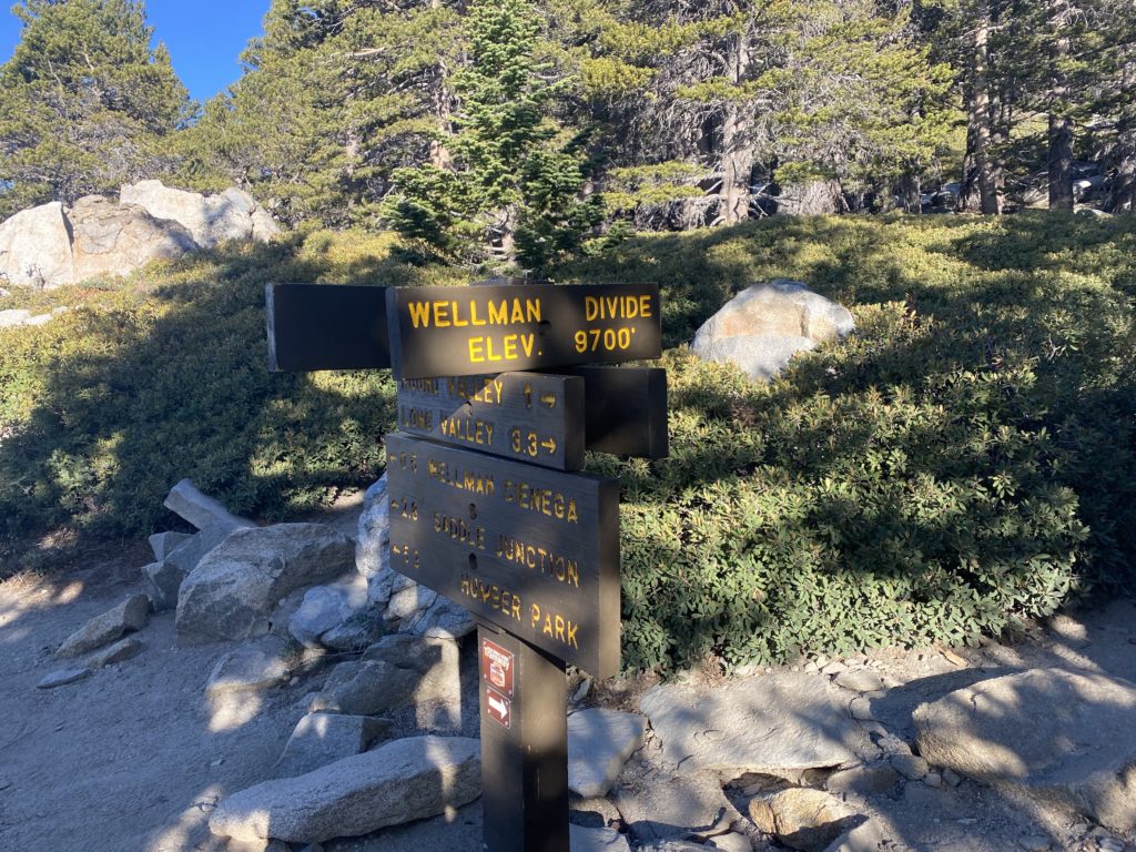
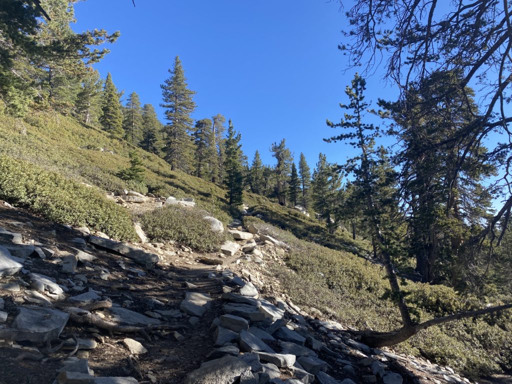
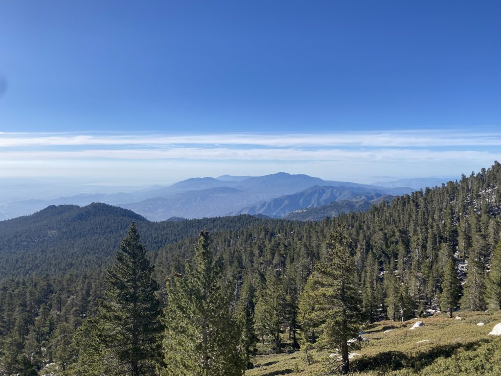
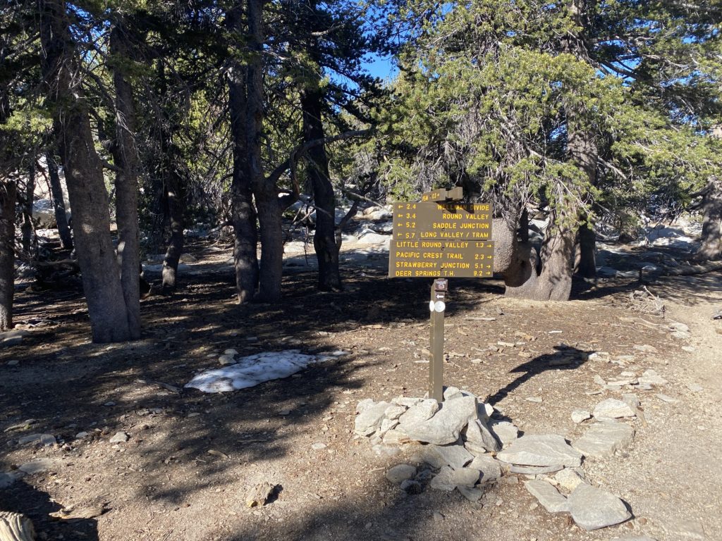
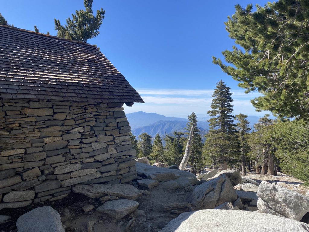
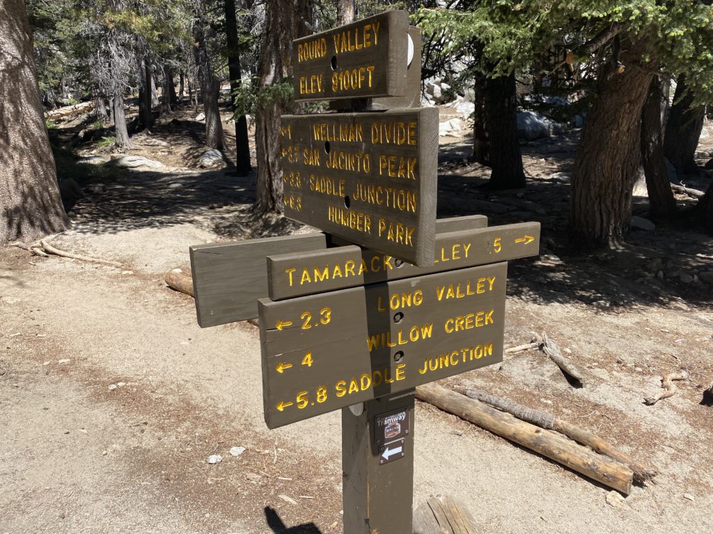
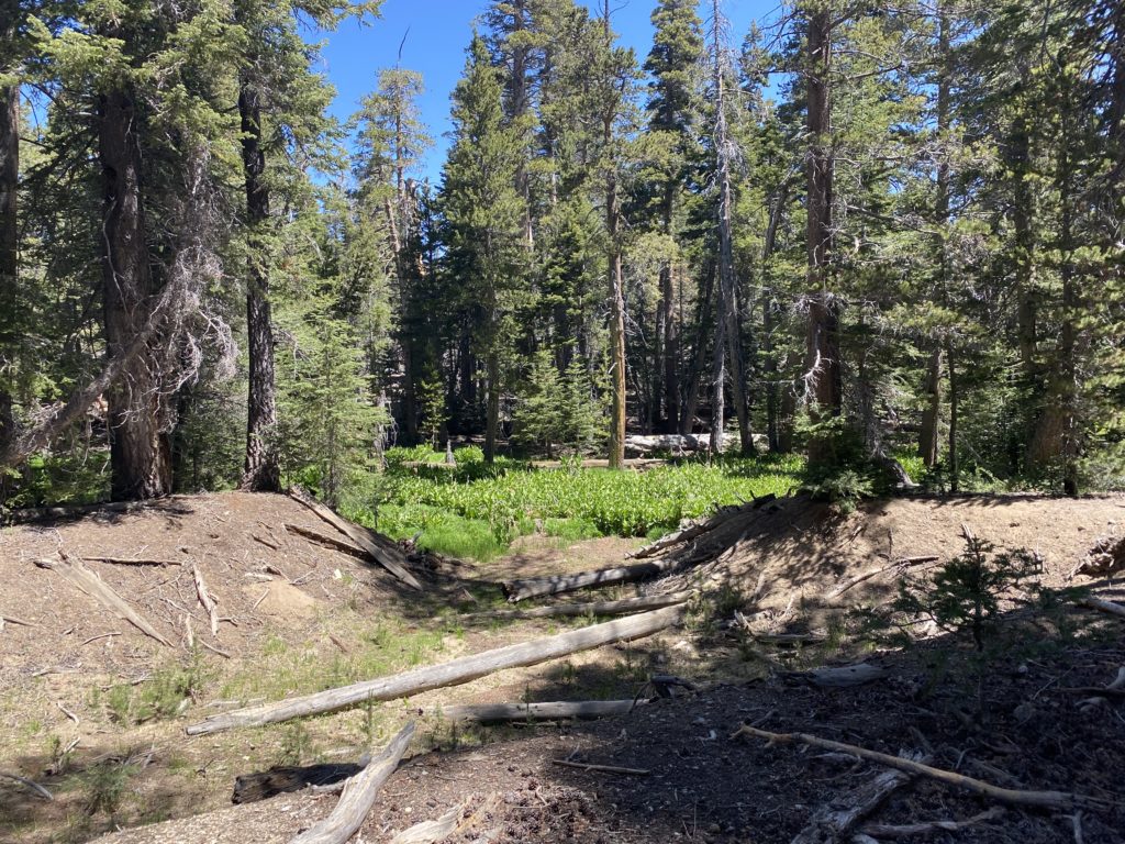
We pulled into the parking lot for the South Fork trailhead, and quickly got ready to set off. I let Ted know that after the creek crossing at the beginning of the trail, we would have a steep, but thankfully short, section to climb. Once past that part, the climb became more manageable. At Horse Meadow, we took a short break, exploring the couple of buildings that remain. From there, we continued our climb to our next stop, Poopout Hill. We slipped out of our packs and enjoyed our lunches. San Gorgonio loomed in the distance with not a cloud in the sky, which was different from my last time here. Our next planned stop was at the junction for Dry Lake and Dollar Lake. We passed a returning hiker from time to time, while I kept an eye out for the small tree I took shelter under during that thunderstorm. After thanking that little tree for its help during that downpour, we pushed on to the turnoff to Dry Lake. After a couple of small stream crossings, we found a nice log to rest upon and again slipped off our packs. I was feeling pretty good. The extra padding of the Atmos 65 was worth the slightly heavier weight over the Stratos. Next came the first real challenge of the hike—crossing the actual South Fork of the Santa Ana River. The water was flowing pretty good, and unlike the other water crossing, we had to scout around for a safe place to cross. I found a log upstream and we used it. Once across, we located the trail again and the final 1.6 or so miles to Dry Lake. Ted’s pack weight was taking its toll (and the altitude, as we were now over 8,200 feet in elevation), so we took some short breaks from time to time. Finally, Dry Lake came into view and we had reached our destination. We circled around the lake to the south side to locate a campsite for the evening. We found a nice spot where we could pitch our tents in the sandy soil.


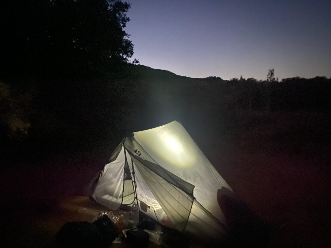
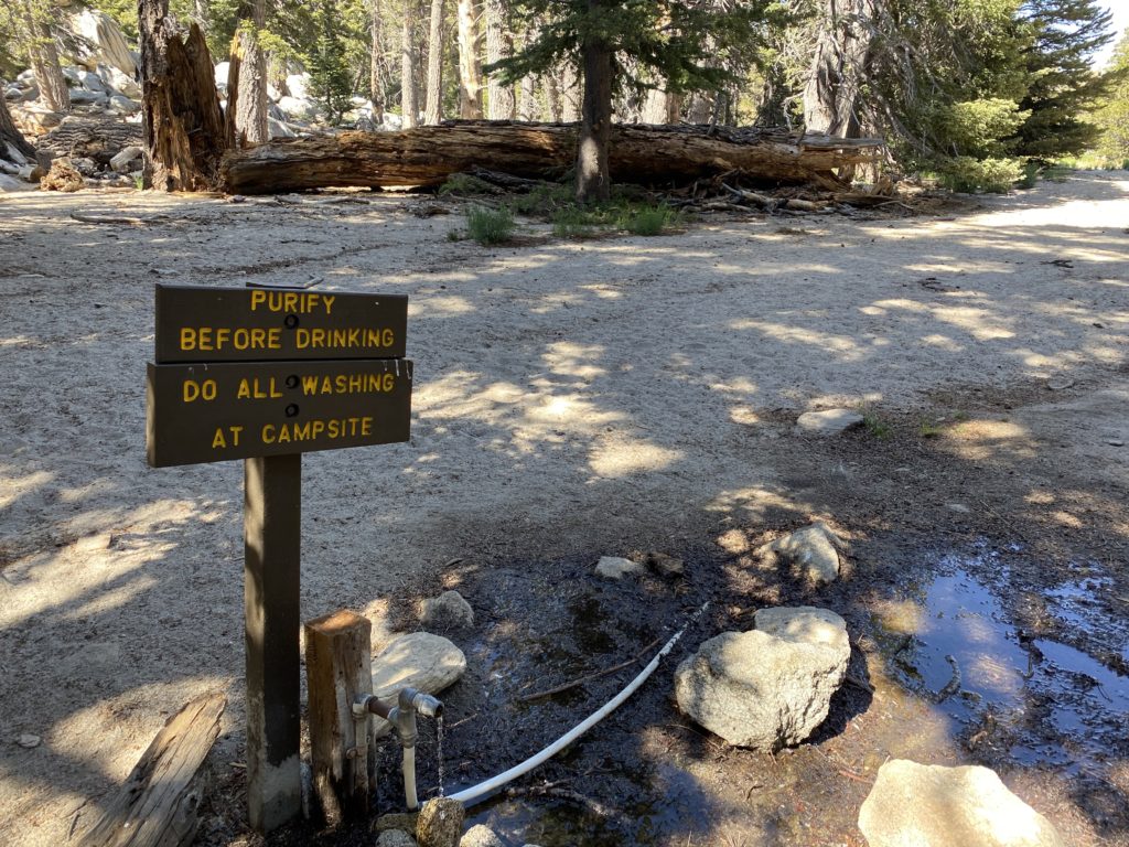
We took a short walk over to Lodgepole Spring to filter some water and fill the CNOC for later. After dinner, we settled in for the evening. Ted was beat from all that weight he hauled, and I wanted to have a good night’s rest before setting off for the summit in the morning. As I lay in my tent, the winds began to pick up. I hoped the weight of the rocks I had placed on my tent stakes would be enough to keep the tent from collapsing. Around 10pm, a strong gust blew through, and one side of the tent came falling onto me. I climbed out of the tent, flipped on my headlamp and staked down that guideline again, adding another rock to keep it in place. After crawling back in, I lay there listening to the wind howl through the trees. We must have been having 25 mph winds. Then around 11, another very strong gust blew through, once again knocking the same stake free. Now adding a third rock, I crawled back in, resigned to the fact that I probably was only to be cat napping throughout the night. Whenever I heard the rush of wind coming, I braced that trekking pole to prevent it from pulling the stake free.


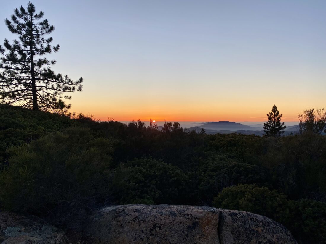
I dozed from time to time, and around 6:30 am, I crawled out in the pre-dawn light, with Ted emerging soon thereafter. He also did not have a restful night, so we both agreed to skip attempting the summit and to hike back out. After breakfast, we packed up our gear and hit the trail around 7:30. We hiked along the rest of the shoreline we had skipped on the way in. In addition to the two backpackers that arrived after we did, we spotted a few tents at some of the campsites along the northeast of the lake. A couple of those sites actually looked to have some wind shelters built from some logs. Good to know for next time. We cruised down the trail toward that challenging water crossing. Instead of the route we used the day before, I scouted downstream for an option. I found a spot that wasn’t too bad and made it across. I called for Ted to trek over to me. I also repositioned a log for him and he crossed without incident. We returned to the logs we stopped at yesterday, and shed a layer. After a snack, I mixed up some electrolytes (had some cramps overnight, so that is something I need to be mindful of in the future).


The rest of the hike back out went quickly, passing some day hikers heading out to enjoy the trail. When we stopped at Horse Meadow for a break, I called Anita to let her know that our plans had changed and I would be home much earlier. Back at the car, we dropped our packs and changed clothes. As we drove down the road, an insect flew in, landed on Ted’s neck. When he went to brush it away, it stung him! Thankfully, I had some ice in a hydro flask, so he was able to use that to ease the pain. After grabbing a hot lunch at The Oaks, we cruised back home. While I am bummed about not getting to the summit and the “joy” of the tent collapsing twice, the backpacking experience was still a great trip.


I am an avid peak bagger, sometimes backpacker, and former sea kayaker living in San Diego. I am the co-author of Urban Trails: San Diego, coming in Spring 2026!
In 2019, I became the third person to complete the San Diego 100 Peak Challenge. Not stopping with that accomplishment, I set my sights on the harder San Diego Sierra Club 100 Peak list, which I completed in 2021. In addition, I have conquered several Six-Pack of Peaks challenges (SoCal, San Diego, Central Coast, and both the Arizona-Winter and Arizona-Summer).
I am looking forward to exploring new summits and new adventures across the southwest.