Santa Ysabel East Loop

With the Excessive Heat Warning in place, I knew that whatever hiking I did need to be early in the morning and not too strenuous. I still had some hikes left on this year’s Coast to Crest Challenge and the Santa Ysabel East Loop fit the requirements perfectly. Ted and I arrived just before 7:30, and there was one car parked at the trailhead. We gathered our gear and set off, the day was already warm as we made our way past the herd of cows munching away on the grasses.

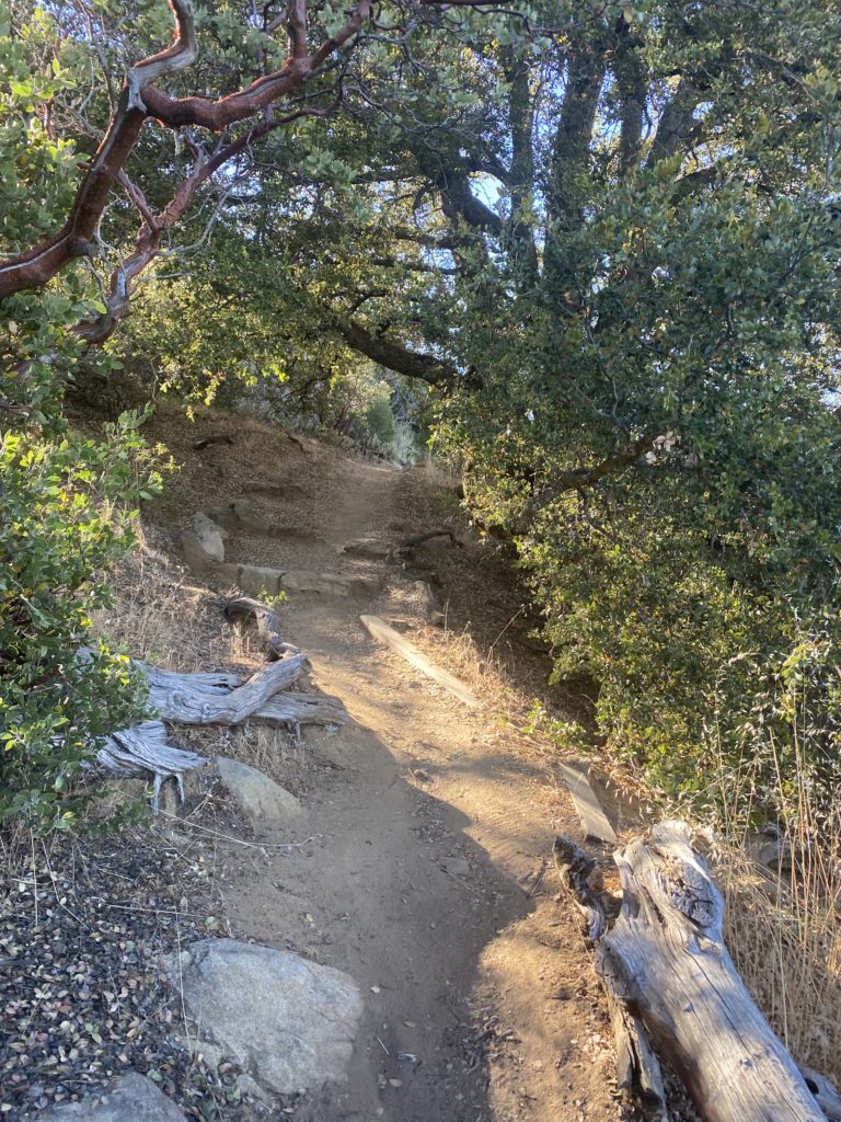
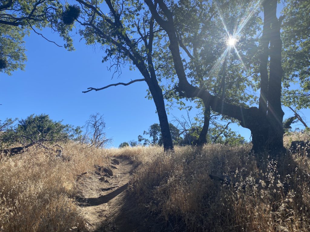
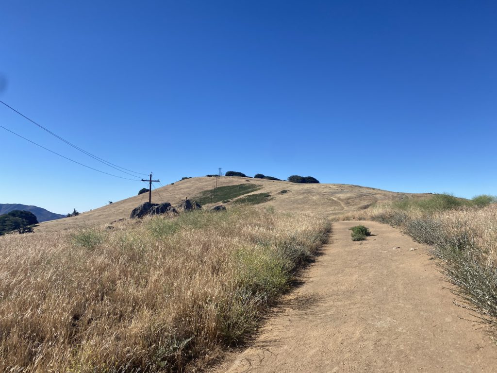
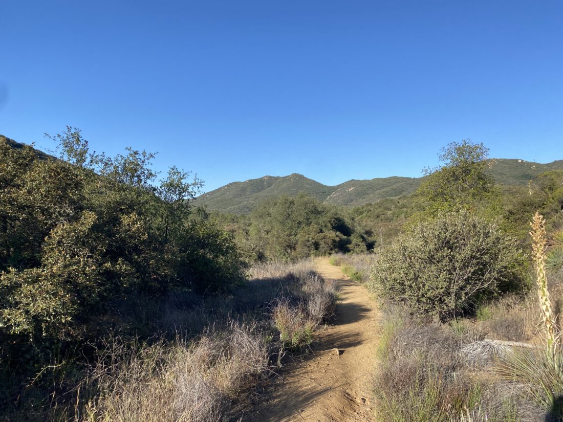
After safely passing the cows, the trail began its climb up toward the top. We would gain over 500 feet is just about 1/2 of a mile. That certainly got our heart rates up, plus we could feel the warmth of the day.

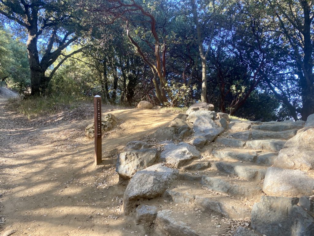
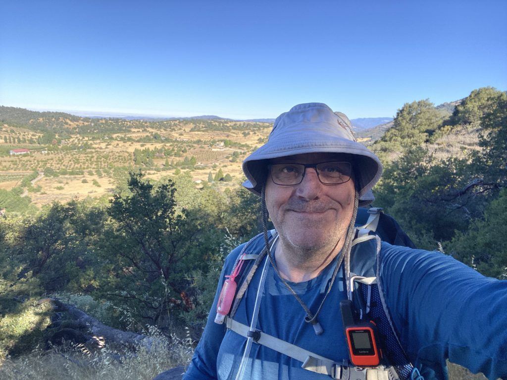
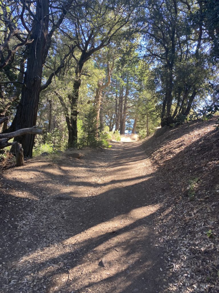
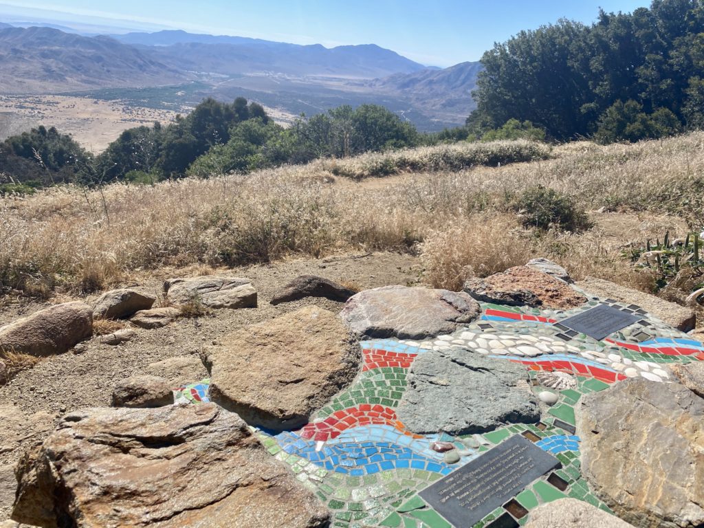
We came to the junction of the loop and decided to take it counter-clockwise. After a brief flat section, we had a small climb to the next junction. Here a couple of picnic tables are tucked away under the nice of some oaks. I took my selfie for the challenge. Ted had never hiked here before, so I point out the trail leading off from here that would connect to the Kanka Flat section of the preserve. I have yet to hike this section, maybe this fall I will…

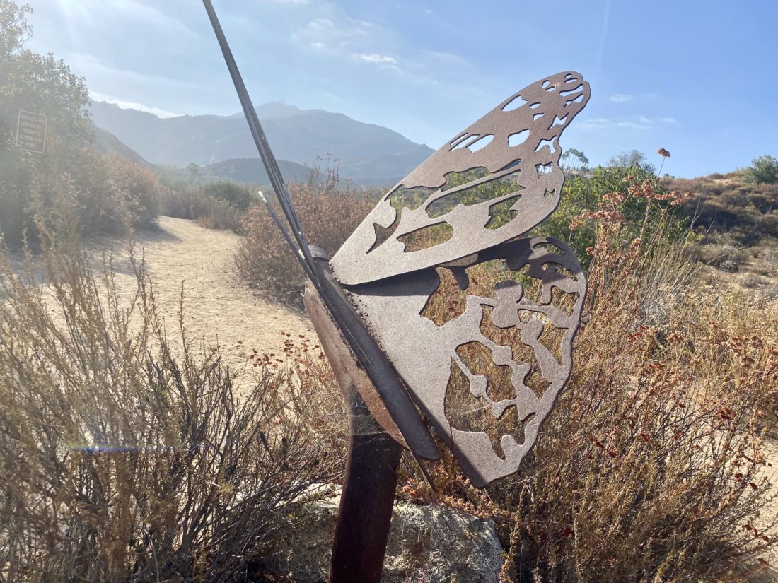
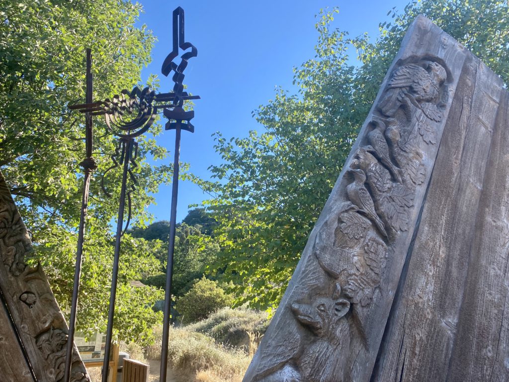
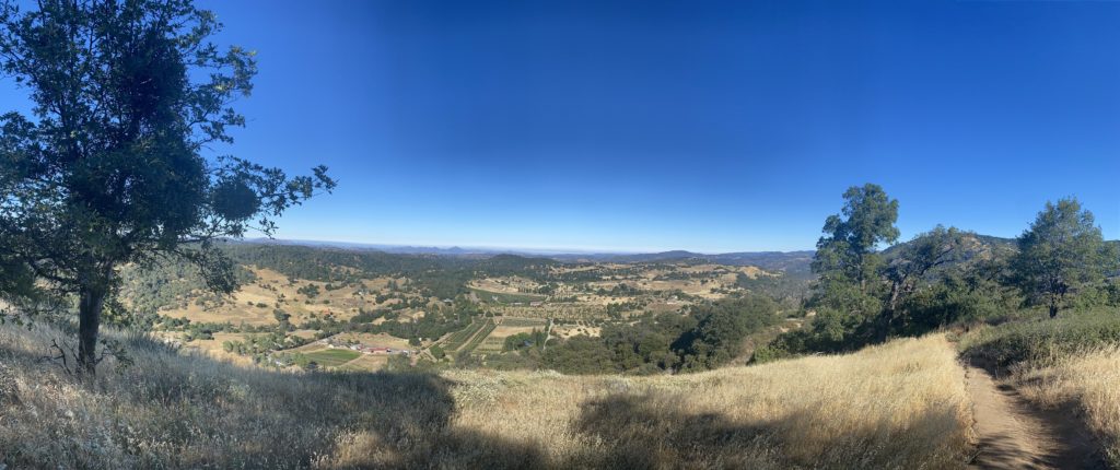
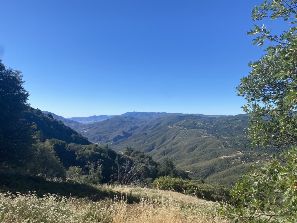
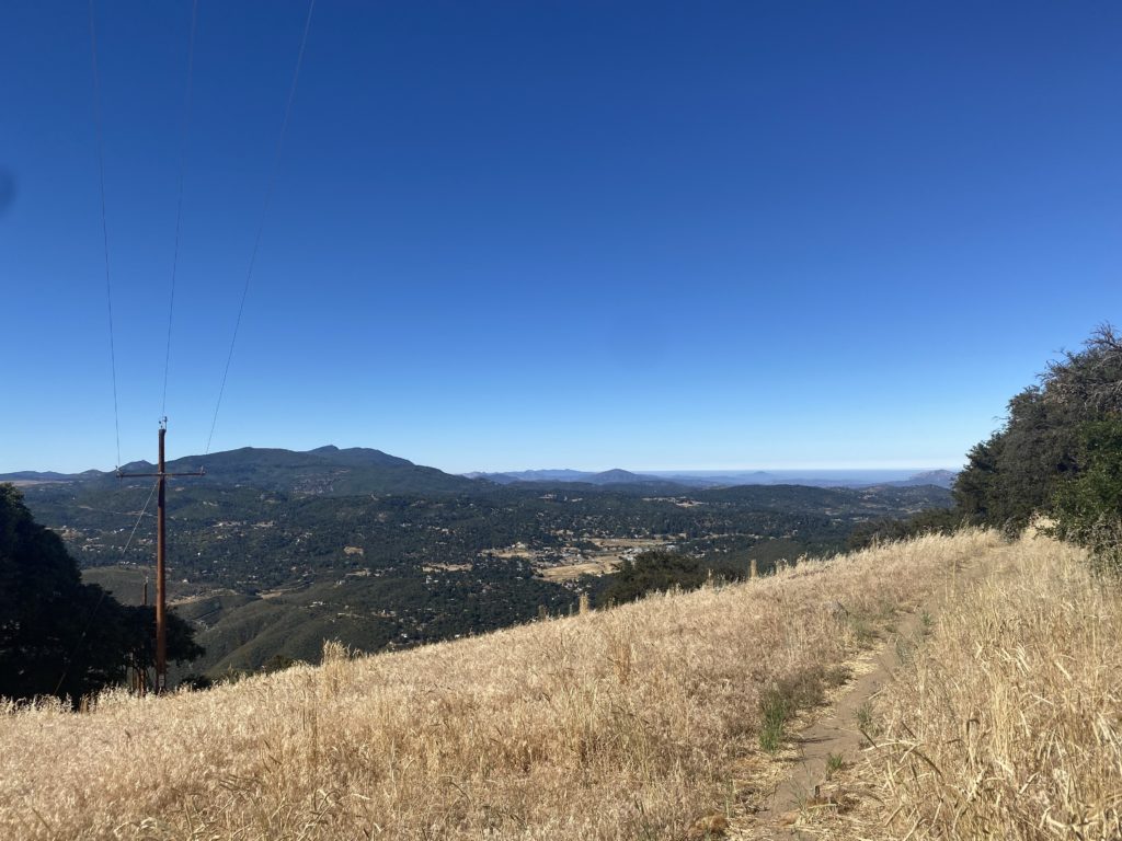
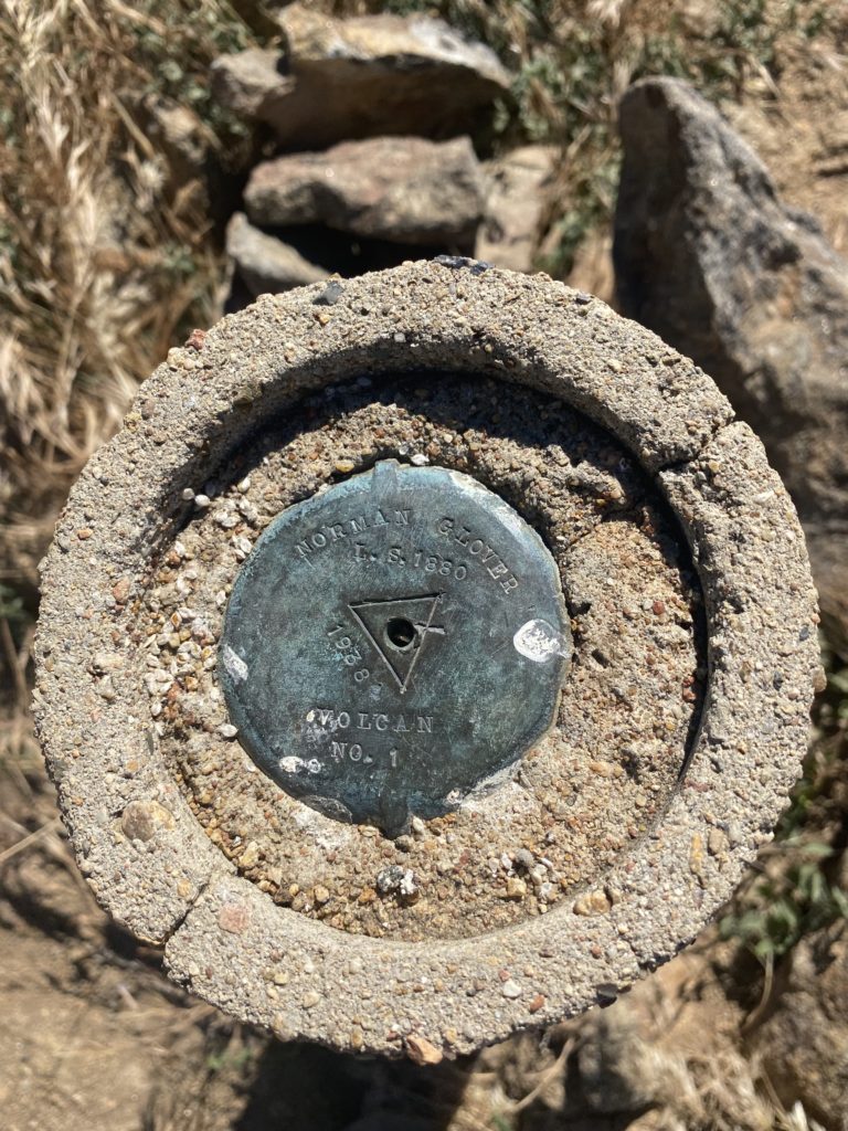
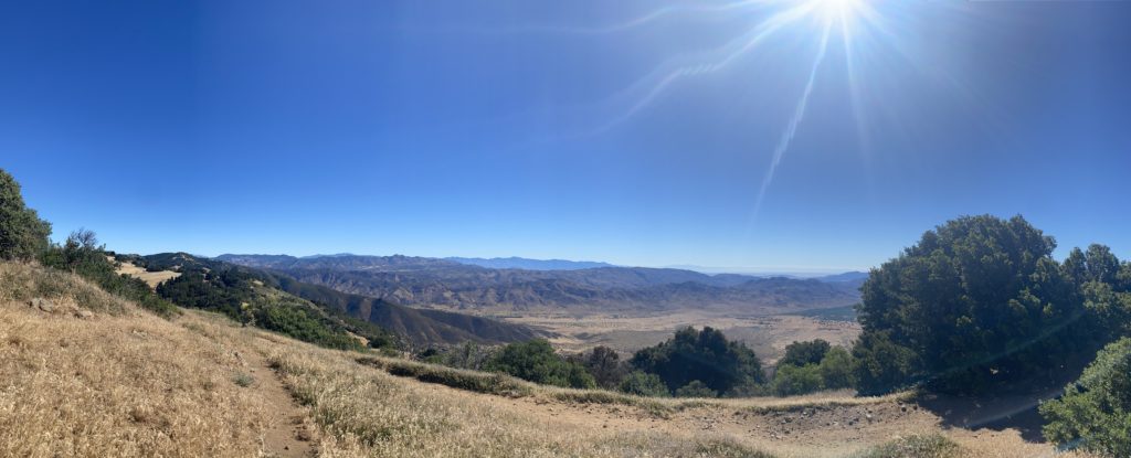
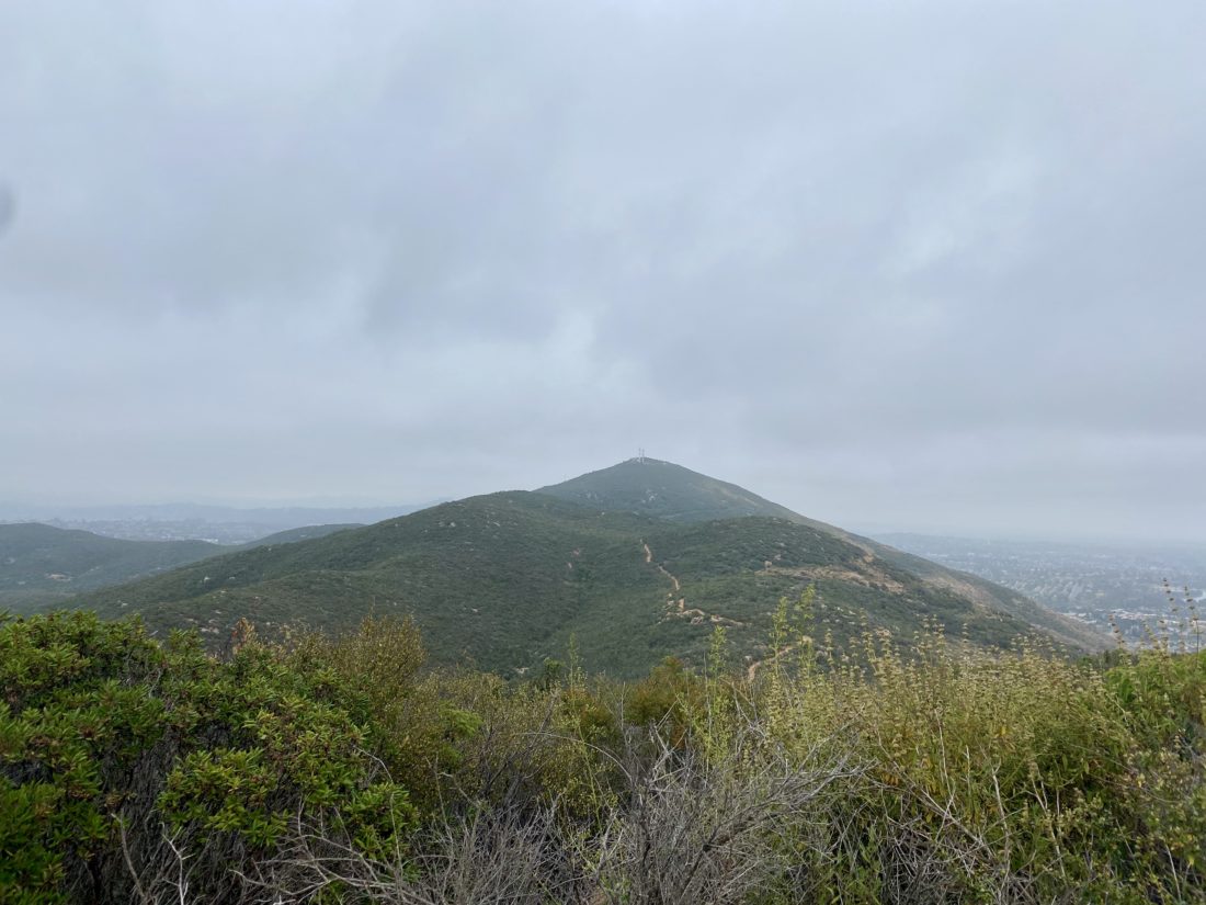
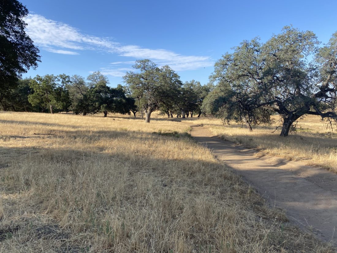
Everyone who hikes this trail is duly impressed with the signage that marks each junction. A lot of love and care went into making them. We continued on the loop, heading northward for a bit, before circling back. Some more views of the Santa Ysabel were spread before us.

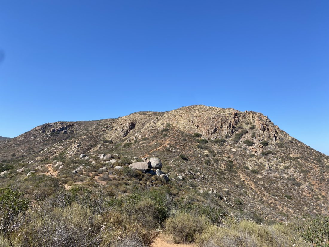
We kept cruising along until we again reached the base of the ridge. The cows had moved on, probably looking for shade, as were we. The temperature had already hit the mid-80s in just the 1:35 we had been hiking. The entire loop is about 4.2 miles and does have a nice 900+ feet of gain.


Buy Me a Coffee at ko-fi.com

I am an avid peak bagger, sometimes backpacker, and former sea kayaker living in San Diego. I am the co-author of Urban Trails: San Diego, coming in Spring 2026!

In 2019, I became the third person to complete the San Diego 100 Peak Challenge. Not stopping with that accomplishment, I set my sights on the harder San Diego Sierra Club 100 Peak list, which I completed in 2021. In addition, I have conquered several Six-Pack of Peaks challenges (SoCal, San Diego, Central Coast, and both the Arizona-Winter and Arizona-Summer).

I am looking forward to exploring new summits and new adventures across the southwest. 

Blue Sky to Lake Poway

Decided to knock out another on this year’s Coast to Crest Challenge by hiking the Blue Sky – Lake Poway Loop. There were a few spots left in the parking lot around 7:30. I grabbed my gear and headed down the Torretto Trail to connect with the Green Valley Truck Trail. Once I reached the junction with the Creekside Trail, I opted to take it this time. The last time I hiked this loop, I stayed on the GVTT. The Creekside Trail was more trail-like, as it paralleled the GVTT. If there was some flow in the creek, this little section of trail would be fantastic, but the biggest concern is the large amount of poison oak along the sides of the trail.

Once the trail reconnected with the GVTT, I continued eastward until I reached the Lake Poway Trail. Now I would start climbing up toward the lake. This time I opted to circle the lake in a clockwise manner to make sure I had a little shade as I made my way around Lake Poway.

Along the way I snapped my needed selfie for the challenge and continued on. As I neared the Lake Poway parking lot, a group of hikers asked if this was the way to the “Potato Chip”. I gave them direction and silently shook my head at their lack of preparation. A new art installation of some “big” chairs were another stop along the loop. The trail then snaked its way back down toward the GVTT. Once back on the GVVT, I cruised back to the parking lot, covering the 5.3 miles in 1:41. Three more hikes to complete the challenge!


Buy Me a Coffee at ko-fi.com

I am an avid peak bagger, sometimes backpacker, and former sea kayaker living in San Diego. I am the co-author of Urban Trails: San Diego, coming in Spring 2026!

In 2019, I became the third person to complete the San Diego 100 Peak Challenge. Not stopping with that accomplishment, I set my sights on the harder San Diego Sierra Club 100 Peak list, which I completed in 2021. In addition, I have conquered several Six-Pack of Peaks challenges (SoCal, San Diego, Central Coast, and both the Arizona-Winter and Arizona-Summer).

I am looking forward to exploring new summits and new adventures across the southwest. 

Volcan Mountain (via 5 Oaks Trail)

This year’s Coast to Crest Challenge is a collection of their 5 favorite hikes from previous challenges; Volcan Benchmark, Santa Ysabel East, Blue Sky Preserve, Raptor Ridge and Bernardo Mountain. I figured I should start with the “Crest” of the trail, and that was Volcan Benchmark. This was going to be a solo hike as Ted was working and Susie had family obligations.

There were a few cars at the trailhead, less than I expected for the holiday weekend. I cruised up the main trail until it reached the Five Oaks Trail. This year’s challenge does not have fixed “selfie spots”, so I found a nice view and took one.

The rest of the hike to the summit was mostly uneventful until just near the summit. I was “chasing” down a pair of hikers ahead of me. When they stopped for a bit, and I caught up to them, they pointed to the small rattlesnake on the side of the trail. Since we were back on the main trail, there was plenty of room to walk past it.

At the summit, I snapped a few photos before heading back down. As I looped around the east side of the summit, I spotted a bench I did not recall being there the last time. I took a quick look but wanted to keep on moving.

The descent went quickly, and I let hikers heading up know I had seen a snake today. Soon I found myself on the gravel road heading to the trailhead. My final stats were 5.2 miles in 2 hours flat, just one minute off from last time. I had thought about getting another one of the Coast To Crest Hikes done, but it was warming up, and I did not want to push it.


Buy Me a Coffee at ko-fi.com

I am an avid peak bagger, sometimes backpacker, and former sea kayaker living in San Diego. I am the co-author of Urban Trails: San Diego, coming in Spring 2026!

In 2019, I became the third person to complete the San Diego 100 Peak Challenge. Not stopping with that accomplishment, I set my sights on the harder San Diego Sierra Club 100 Peak list, which I completed in 2021. In addition, I have conquered several Six-Pack of Peaks challenges (SoCal, San Diego, Central Coast, and both the Arizona-Winter and Arizona-Summer).

I am looking forward to exploring new summits and new adventures across the southwest. 

William Heise County Park

Joined Larry Edmonds’ Hike of the Month for a group hike through the various trails of William Heise County Park. I hadn’t been there in a long time, so this was a perfect opportunity to explore the park. The basic plan was to meet at the Day-Use parking area and then follow a mostly counter-clockwise route along the trail system.

Our first section to explore was the Fern Trail. We followed the Kelly Ditch trail for a bit, crossing over Cedar Creek. At a nicely signed junction, we turned onto the Fern Trail. Wildflowers still dotted the sides of the trail and we would stop from time to time to photograph them. The Fern Trail reconnects with the Kelly Ditch trail. For the very adventurous, you can hike this trail all the way to Lake Cuyamaca! 

Once we turned north, we headed toward the east and began hiking the Potter Loop. We had some lovely views of the surrounding mountains as we completed the one-mile loop. Once we were together again we began the short climb back toward the campground. Here we followed the Cedar Trail’s eastern section. After crossing back over the dry Cedar Creek, switchbacks made the climb a bit easier. The next trail we set off for was the Self-Guided Nature Trail on the east side of the campground. The smells of breakfast filled the air as we walked along the roads toward our trailhead.

We would take this trail for a short while until it connected with the Desert View Trail. Along the way, signs would identify the various trees and possible wildlife that could be found here. While we had a few short climbs so far, this section of our hike would have some measurable gain. Susie and I soon found ourselves at the front and cruised upward toward Glen’s View. We reached the end of the short spur trail and dropped our packs. The Salton Sea’s blue waters shone off in the distance. Familiar peaks rose around us—Granite, North Peak, Villager, and many more. The rest of the group arrived and took a nice break at the summit. 

After swapping tales of other hiking adventures for a bit, we set off to continue westward along the Desert View Trail. Some nice westerly views were spread out before us as we hiked down the rocky trail. Susie and I had once again pulled far ahead of the group. We came to a junction that could take us on a more direct path back to the campground or continue on to the Canyon Oak Trail. We both were a bit hungry, so we opted to skip the longer option and go on toward my car. Once back at the parking lot, I left a note for Larry on his car. After a quick stop at Calico Cidery to fill our growlers, we popped into Dudley’s for some sandwiches. While we waited for them, we chatted about our upcoming trip to climb Half Dome. This was a nice saunter through some nice trails with some lovely fellow hikers.


Buy Me a Coffee at ko-fi.com

I am an avid peak bagger, sometimes backpacker, and former sea kayaker living in San Diego. I am the co-author of Urban Trails: San Diego, coming in Spring 2026!

In 2019, I became the third person to complete the San Diego 100 Peak Challenge. Not stopping with that accomplishment, I set my sights on the harder San Diego Sierra Club 100 Peak list, which I completed in 2021. In addition, I have conquered several Six-Pack of Peaks challenges (SoCal, San Diego, Central Coast, and both the Arizona-Winter and Arizona-Summer).

I am looking forward to exploring new summits and new adventures across the southwest. 

San Mateo Peak

Since two of the three of us had evening plans, that ruled out any “big” hikes. So, instead, we tossed around a few smaller hikes that might fit the bill. In the end, we settled on hiking San Mateo peak, just an hour north in Riverside County. This peak is on the Lower Peaks Committee list, so we would get to cross off another one. Since the mileage for the peak was going to be just under 5 miles and the elevation gain was not too much, we had a slightly later start than our usual departure times. The drove up to Lake Elsinore and on to the 74 went quickly, as Susie, Ted, and I had not hiked together in a while, so there was a lot of catching up to do. The clouds hung low and as we neared the turn off from the 74 toward the Morgan Trailhead, I was driving in them. I pulled into the parking area and hung my Adventure Pass on the mirror. We gathered our gear and set off.

At about 2/10 mile in, we came upon a register box and we signed in. Almost directly behind is the trail o take up to San Mateo Peak. We made the mistake of continuing along the trail that we had been on for a bit before realizing we were headed the wrong way. The trail was really mellow, so backtracking was easy. The trail follows a seasonal stream for about another ½ mile. Some poison oak lined the edge of the trail, so having long pants was a good idea. We reached another junction that was well signed and the trail began to climb away from the creekbed. Along the route, we would keep our eyes open for the three dinosaurs that are placed along the trail. I have no idea why, but they are there.

The clouds slowly began burning off and the possible summit revealed itself off to the south. Further, in the distance, we could see the towers atop Margarita Peak. The trail had a few ups and downs but mostly kept climbing upward. Finally, we spotted the summit and shortly thereafter were enjoying its views. It had a nice summit block that some of us scrambled up on. Off to the west, we spotted Sitton Peak, and Santiago loomed to our north. 

After signing the register, we began to retrace our route. About halfway back, we saw a flag pole atop a small peak to our north that we had missed due to the cloud cover. I located what I hoped was the use trail and made the short climb to it. According to Peakbagger, this was Peak 3065. There was nothing there that gave us any clue as to why there was a flag pole, but a peak is a peak.

We rejoined the main trail and continued down until we actually encountered another hiker heading up. So much for checking “Only Party on the Mountain” on our ascent log on Peakbagger. Soon we were back at the car after a pleasant 4.5 miles in a comfortable 2:36. I logged the total elevation gain at 937 feet. The drive home took a bit longer due to some construction but still wasn’t too bad of a drive.


Buy Me a Coffee at ko-fi.com

I am an avid peak bagger, sometimes backpacker, and former sea kayaker living in San Diego. I am the co-author of Urban Trails: San Diego, coming in Spring 2026!

In 2019, I became the third person to complete the San Diego 100 Peak Challenge. Not stopping with that accomplishment, I set my sights on the harder San Diego Sierra Club 100 Peak list, which I completed in 2021. In addition, I have conquered several Six-Pack of Peaks challenges (SoCal, San Diego, Central Coast, and both the Arizona-Winter and Arizona-Summer).

I am looking forward to exploring new summits and new adventures across the southwest. 

Lone Pine Lake

Matt Hanan reached out to me and asked if I would be able to join him in climbing Mt. Whitney on May 31st. As much as I wanted to climb to the highest peak in the lower 48, I had not been training for it, and did not want to hamper Matt’s attempt if I ran into issues. Also, May 30th is my wedding anniversary (29 years), so I would need to make sure missing most of that day was ok. Anita gave her approval, provided I did not actually attempt the summit. We agreed that I would not climb higher than Trail Camp and at my own pace, letting Matt stay focused on his ascent. Since Matt had one more space on his permit, my friend David also planned to meet us there. His plan was to probably stick with me as he had no desire to summit Whitney again, but loved just spending time in the eastern Sierras. I left San Diego mid-morning and drove up to Lone Pine. I met Matt at the motel and quickly changed into my hiking gear. The plan was to drive up to Whitney Portal and hike up to Lone Pine Lake, which is just before the boundary of the Whitney Zone. This would give us some hiking time at some higher altitudes, before the bigger hikes the next day. We found a spot and parked Matt’s car, fully cleared out as this is active bear country and the last thing you want is to return to your car to find it had been torn open by a bear looking for a snack. 

The trail begins almost across from the pit toilets. We each grabbed a wag bag and stuffed them in our packs. The trail headed east for a bit before turning back west. This was my first time here, so I was soaking in the beauty that was all around me. The next day, when I would be on this section of the trail, it would be pitch dark. The grade of the trail wasn’t too bad, but I could definitely feel the altitude. 

Matt had been here several times before, so he led the way. Lone Pine Lake sits about 1,750 feet above Whitney Portal, so we had some gain before us. We continued plodding along, taking some short breaks to let me catch my breath. We crossed the North Fork of Lone Pine Creek with no issues. Matt said the fun crossing was just before the junction with the trail down to Lone Pine Lake. As we climbed up the switchbacks, the views to the east were breathtaking. Soon, we came to the main crossing of Lone Pine Creek. This crossing is a long series of logs spanning the wide flow of water. Matt mentioned in previous years water had been flowing almost over the tops of them. Sadly, now it is well below that level. Once across, we reached the junction and made a short 0.1 mile jaunt to the lakeshore. A few folks were milling about, including one person hoping to catch some fish.

With a very early start time, we did not linger as we wanted to get back down into Lone Pine, grab dinner and hit the sack. I tracked our hike at 5.7 miles in 3:05 with 1,750 feet of gain. 


Buy Me a Coffee at ko-fi.com

I am an avid peak bagger, sometimes backpacker, and former sea kayaker living in San Diego. I am the co-author of Urban Trails: San Diego, coming in Spring 2026!

In 2019, I became the third person to complete the San Diego 100 Peak Challenge. Not stopping with that accomplishment, I set my sights on the harder San Diego Sierra Club 100 Peak list, which I completed in 2021. In addition, I have conquered several Six-Pack of Peaks challenges (SoCal, San Diego, Central Coast, and both the Arizona-Winter and Arizona-Summer).

I am looking forward to exploring new summits and new adventures across the southwest. 

Sitton Peak

Since I have a busy schedule of hiking adventures planned for the coming month, I wanted to get some longer miles in to build up my fitness. Unfortunately, I did not have time to spend hiking my two remaining peaks on the San Diego Six-Pack of Peaks (Palomar High Point and El Cajon Mountain). So, instead, I turned to work on the SoCal Six-Pack of Peaks list and decided to climb Sitton Peak once again. I arrived at the trailhead just before 6:30 am. One other car was in the parking lot. I grabbed my gear and quickly and carefully crossed the highway.

After signing in at the trailhead, I set off down the trail. I was surprised at the number of wildflowers that still dotted the sides of the trail.

The miles passed quickly, and I soon found myself at the side trail I would take to the summit. Anyone who has done Sitton Peak will tell you most of the hike is fantastic, it is just that last 4/10 mile that is the tough part. I began my climb, remembering my previous times in this section. This time it seemed easier. My footing felt more sure, and the effort was actually a little easier.

As I neared the summit, I could hear voices. The hikers from the other car were sitting on the summit enjoying a well-earned rest. We chatted a bit while I ate my snack and took a few photos. The marine layer covered the coast. I really do need to do this hike on a truly clear day. Since I wanted to be home by lunch, I bid farewell and set off back down. I cruised down the trail, keeping an eye out for any snakes that might be out.

Thankfully, just a handful of lizards enjoying the morning sun. Once back at the trailhead, I stopped at the Candy Store and treated myself to a fresh peanut butter cookie and a cold soda. I had a hiccup with my tracker, but I covered the hike in 3:56, hopefully, that is a good sign for my legs for all the miles they will be seeing in the coming weeks.


Buy Me a Coffee at ko-fi.com

I am an avid peak bagger, sometimes backpacker, and former sea kayaker living in San Diego. I am the co-author of Urban Trails: San Diego, coming in Spring 2026!

In 2019, I became the third person to complete the San Diego 100 Peak Challenge. Not stopping with that accomplishment, I set my sights on the harder San Diego Sierra Club 100 Peak list, which I completed in 2021. In addition, I have conquered several Six-Pack of Peaks challenges (SoCal, San Diego, Central Coast, and both the Arizona-Winter and Arizona-Summer).

I am looking forward to exploring new summits and new adventures across the southwest. 

Clevenger Canyon-San Pasqual North Trail

The North County Sierra Club has been running the 50 hikes for 50 years Challenge, where over the course of a year you hike a list of 50 hikes and earn some prizes along the way. I did not learn about the challenge until it was well underway, plus the peaks of Anza-Borrego tend to call my name during the winter. I was able to do 25 of them and earn a patch (I am a sucker for patched). But several folks were able to hike all 50! On Friday, I was able to join two of them, Yosina and Annie as they hiked up Clevenger Canyon North.

We were joined by some of their other friends at the trailhead and set off down past the graffitied boulders until we reached Santa Ysabel Creek. A trickle of water was still flowing as we crossed over and would now start our climb up the canyon wall.

Toward the summit, we spied some young turkey vultures hanging out just ahead of us. More were off to the east. They took flight once we passed, their massive wings carrying them away. Soon, we were at the summit and we took a break. The ladies broke out their signs and smiles and took their completion photo together.

After the short break, we headed back down the trail. This is the best part of the hike, not because you are headed back to the trailhead, but instead of just looking at the canyon wall, you are now rewarded with the vistas of the San Pasqual Valley.

After the short climb up from the creek, we were back at our cars and parted ways. I logged the hike at 5.3 miles with 1,490 feet of gain.


Buy Me a Coffee at ko-fi.com

I am an avid peak bagger, sometimes backpacker, and former sea kayaker living in San Diego. I am the co-author of Urban Trails: San Diego, coming in Spring 2026!

In 2019, I became the third person to complete the San Diego 100 Peak Challenge. Not stopping with that accomplishment, I set my sights on the harder San Diego Sierra Club 100 Peak list, which I completed in 2021. In addition, I have conquered several Six-Pack of Peaks challenges (SoCal, San Diego, Central Coast, and both the Arizona-Winter and Arizona-Summer).

I am looking forward to exploring new summits and new adventures across the southwest. 

Cowles Mountain & Pyles Peak

With “May Grey” in full force, I figured an early morning hike up Cowles Mountain, and then over to Pyles Peak would be a good choice. I needed to photograph the new summit marker that now sits atop Pyles Peak, and having a nice layer of clouds to keep the sun away sounded perfect. Since Covid-19 is still an actual issue, I opted not to take the shorter (and generally crowded) route up from Golfcrest to the summit to Cowles. Instead, I planned to either take the Barker Way route or the Big Rock route. In the end, I settled on the Barker Way route, mostly since it was a bit shorter than the Big Rock route. I found a spot on the street near the trailhead, grabbed my gear, and set off.

I actually had another choice to make almost immediately—do I take the service road all the way to the summit of Cowles, or do I take the trail to my left? The trail won the coin toss. There was no actual coin tossing, as trails will almost always win for me. The trail worked its way up the south side of Cowles, passing through the chaparral. Occasional steps helped lessen the grade as I kept climbing. I passed a connector trail that I could take to rejoin the service road, but I kept going, as there was another one closer to the summit that I planned to take. The trail I was on would actually connect with the route up from Golfcrest, and I had no desire to do that. From there I followed the service road to the summit of Cowles. I had never been on the service road, and was surprised at how steep it was.

At the summit I grabbed a quick photo of the marker and continued on. The marine layer hid much of the view, plus I still had another 1.5 miles to the summit of Pyles. 

I worked my way down the trail, losing about 300 feet of elevation before making a small climb and then more descent. Finally, I reached the start of the climb to the other summit. Once I reached it, two other hikers were taking a break here. I was on a work call, so I couldn’t stop and chat. I photographed the new marker and began back down.

The towers atop Cowles loomed to the south and I climbed back toward them. So far my neck, which had been giving me issues, was feeling ok. Once back at the Cowles summit, I snapped a few more photos. In case you are wondering, crossing back over a summit does not count as a new ascent.

I followed the service road back toward the connector, but instead of completely retracing my route, I opted to stay on the service road all the way down. Once back at the car I tossed my gear in and headed home. The peacefulness of the hike let me explore some ideas around a new interface design I am creating at work. Sometimes it is best to step away from the screens to give yourself some time to focus. I logged my hike at 5.8 miles in 2:39 and over 1,764 feet of net elevation gain. Now to finish that trail guide…


Buy Me a Coffee at ko-fi.com

I am an avid peak bagger, sometimes backpacker, and former sea kayaker living in San Diego. I am the co-author of Urban Trails: San Diego, coming in Spring 2026!

In 2019, I became the third person to complete the San Diego 100 Peak Challenge. Not stopping with that accomplishment, I set my sights on the harder San Diego Sierra Club 100 Peak list, which I completed in 2021. In addition, I have conquered several Six-Pack of Peaks challenges (SoCal, San Diego, Central Coast, and both the Arizona-Winter and Arizona-Summer).

I am looking forward to exploring new summits and new adventures across the southwest. 

South Fortuna*

Since all the construction blocked my access from the West Fortuna Staging area last week, I decided to use the southern approach. This route crosses the San Diego River, since we hadn’t had any rainfall in some time, I knew it would be safe to cross. This is not a route to take if there is any real water flow. Sadly, this crossing can be deadly. 

Once safely across, I began the steep climb to connect with the Suycott Valley Trail and then dropped back down to link up with the South Fortuna Trail. From there I started climbing up toward the infamous “South Fortuna Stairs”. 

At the base of the stairs, I took the photos I needed for the trail guide I am writing for SoCal Hiker and headed back. I really had no desire to summit this peak again, as I had been there since the new summit marker was installed. The return to the car went quickly, and a few more folks were milling around the river as I crossed back over. 


Buy Me a Coffee at ko-fi.com

I am an avid peak bagger, sometimes backpacker, and former sea kayaker living in San Diego. I am the co-author of Urban Trails: San Diego, coming in Spring 2026!

In 2019, I became the third person to complete the San Diego 100 Peak Challenge. Not stopping with that accomplishment, I set my sights on the harder San Diego Sierra Club 100 Peak list, which I completed in 2021. In addition, I have conquered several Six-Pack of Peaks challenges (SoCal, San Diego, Central Coast, and both the Arizona-Winter and Arizona-Summer).

I am looking forward to exploring new summits and new adventures across the southwest.