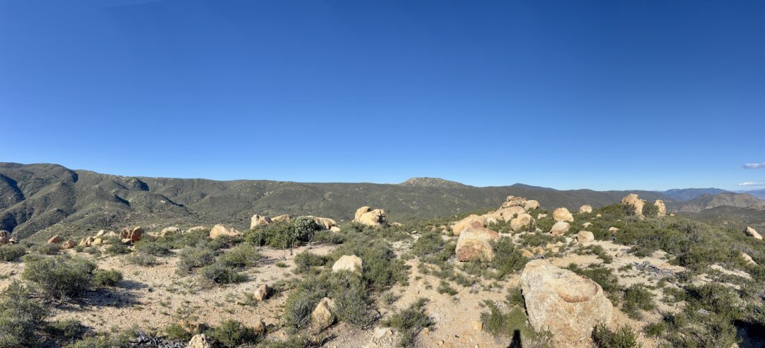
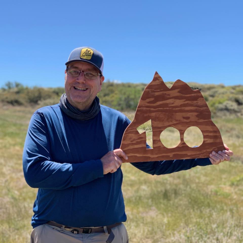
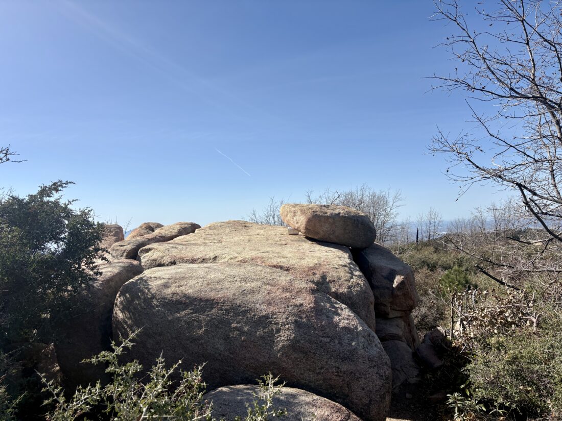
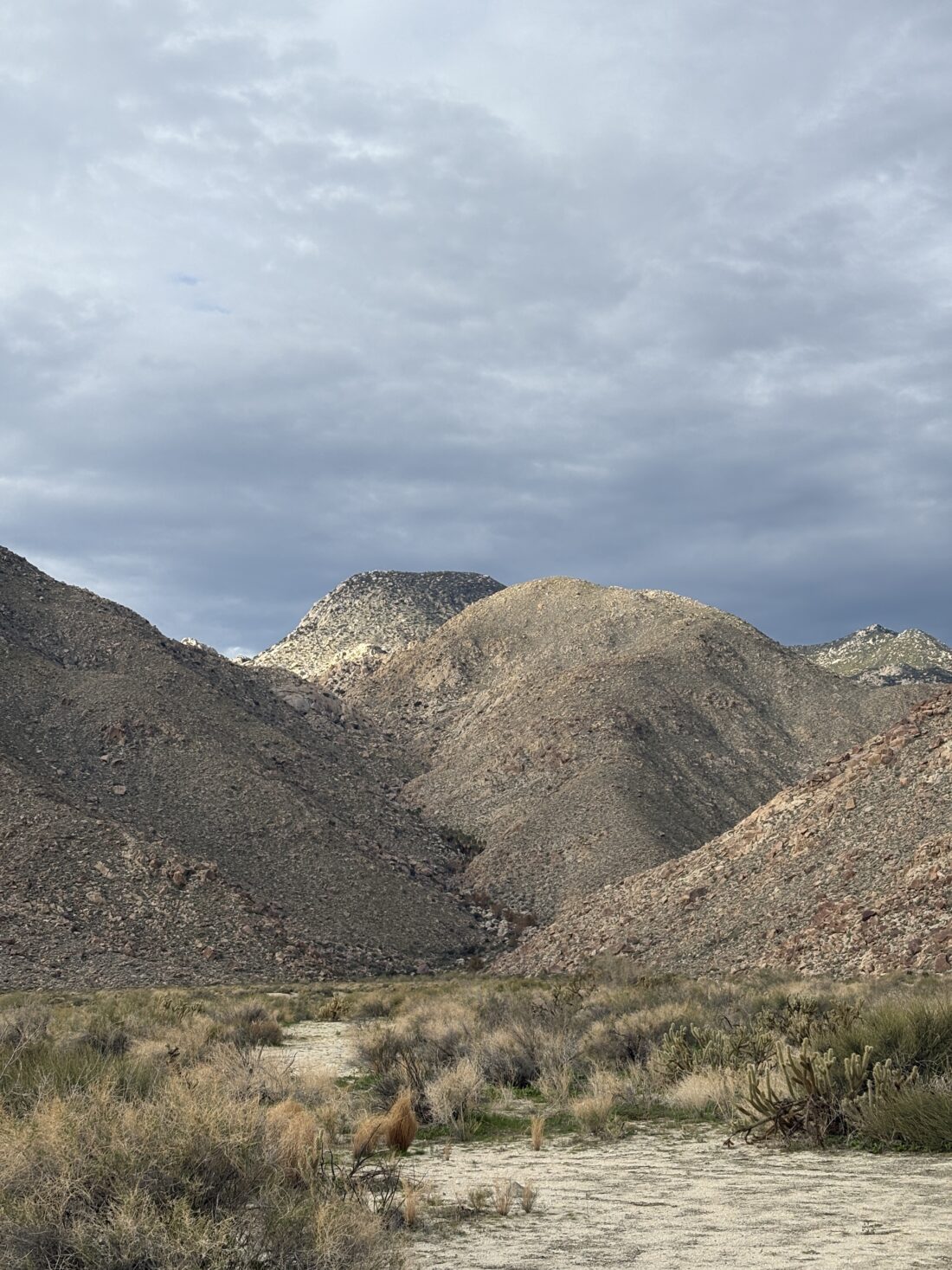
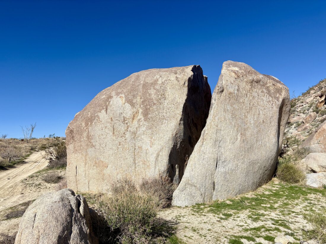
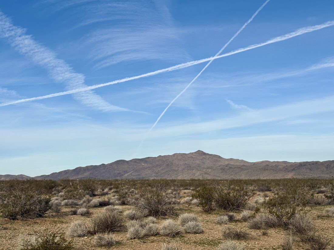
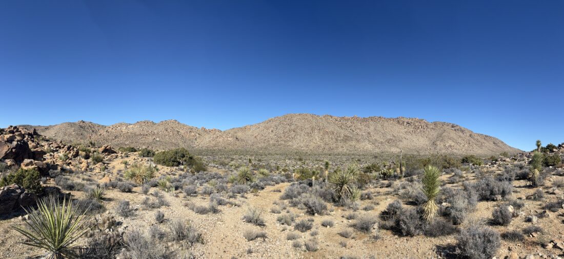
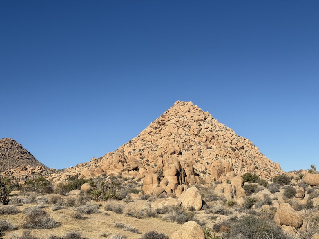
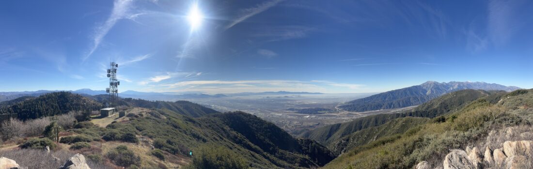
We opted to try to work on knocking out one of Ted’s remaining peaks. There was just one problem – it was going to be a bit windy for all of them. In the end, we settled on Oriflamme Mountain. As we drove out and passed Santa Ysabel, the various flags flying around were straight out. We pulled into the parking area and gathered our gear. I slipped on a fleece and made sure to put a wind shell in my pack. We crossed Sunrise Highway and headed down the old Jeep road.
Bring the Outdoors to Your Inbox
Sign up for our email and stay up to date on my adventures.
We cruised along, passing the rusted wreck of a truck. Maybe “Matt’s Off-Road Recovery” could remove it! I spotted the point where we would leave the road and begin the short climb to the summit. There isn’t a trail, but rather the need to use a best-guess method through the brush. For the most part, I got us to the top without any issues. It was quite breezy there, so we snapped a few photos, double checked for a register, and headed back down. We again weaved through the brush and actually exited at exactly the same point, back onto the road! We climbed back up to the car, (got to love those inverted hikes) and along the way, I outlined all my 2026 hiking goals. No surprise, I’ve got a ton!
I am an avid peak bagger, sometimes backpacker, and former sea kayaker living in San Diego. I co-authored Urban Trails: San Diego, available now!
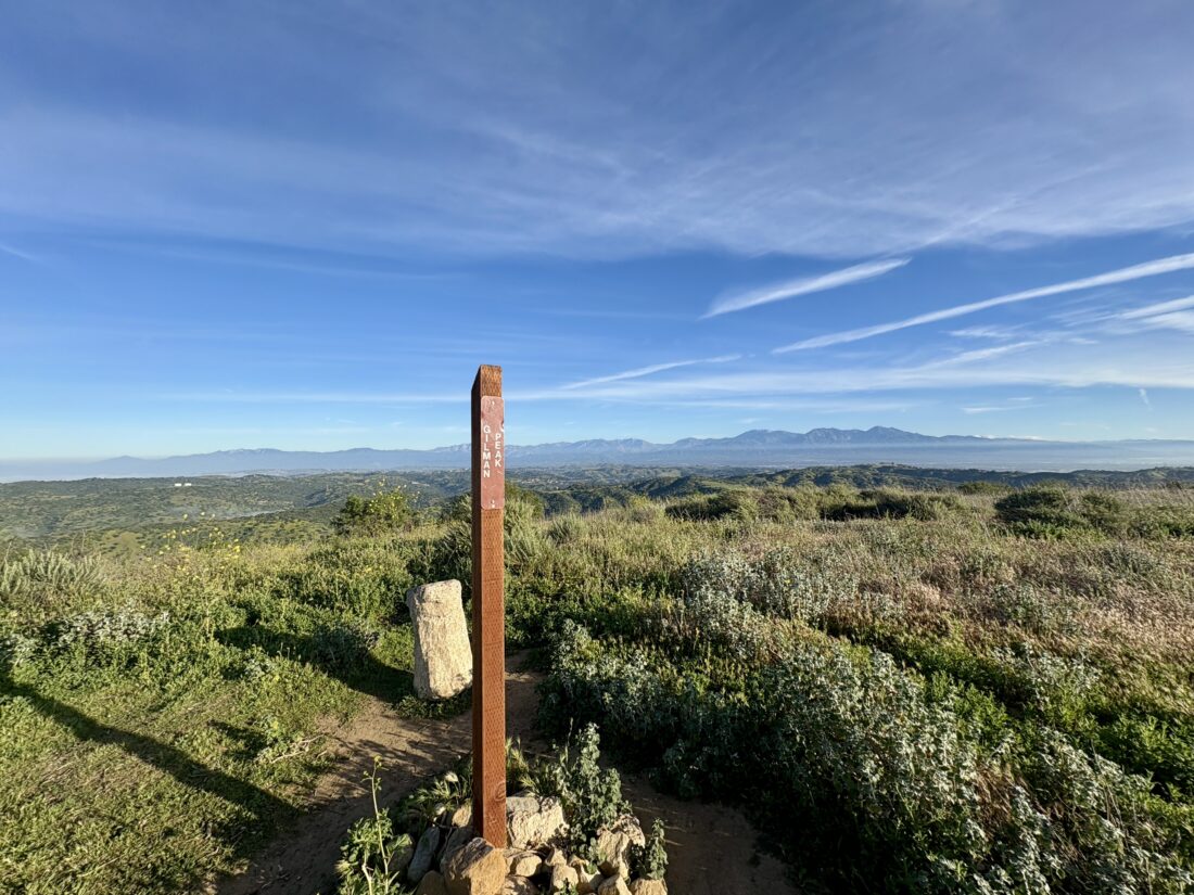
With my spring break plans in flux, and the desert still too warm for any significant peak bagging, I opted to knock out a couple of peaks on the Lower Peaks Committee list. I made the drive up to Chino Hills State Park to do a loop that would have me pass over Gilman Peak and San Juan Hill. Starting from the Rimcrest Trailhead, I began my clockwise trek heading down toward Telegraph Canyon. The morning was cool, and the plants that encroached onto the trail were still damp with the morning dew. Soon, the legs of my pants, and my shoes, were soaked.
Bring the Outdoors to Your Inbox
Sign up for our email and stay up to date on my adventures.
Once I reached Telegraph Canyon, I hiked in solitude until I reached the Gilman Peak Trail. I then began the climb toward my first summit. Some wildflowers dotted the hillside, but it was mostly black mustard, which is actually an invasive plant. The summit of Gilman Peak soon came into view, and I found the California Highway Marker atop it. A snowcapped Mt. Baldy loomed to my north, making for a lovely sight. After a quick snack, I followed the North Ridge Trail for a bit before dropping back down. A shaded rest area could be seen, along with an informational kiosk. I mixed up my electrolytes before beginning the climb up out of the canyon and onto San Juan Hill.
Once on the South Ridge Trail, I made the short climb to the summit of San Juan Hill. Here I found the reference marker and the concrete summit marker from 1896. Again, I enjoyed the clear views from the summit before heading back to the car. I began passing others out enjoying the trail. Soon, I spotted the trailhead where I started, and my loop was done. This loop was 9.7 miles with a total gain of 1412 feet, and I covered it in 3:34.
I am an avid peak bagger, sometimes backpacker, and former sea kayaker living in San Diego. I co-authored Urban Trails: San Diego, available now!
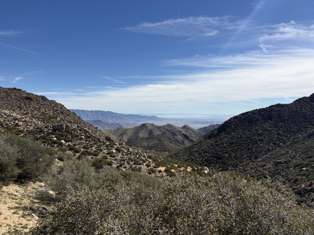
Several months ago, I arranged with Gina to be able to hike down to Palm Mesa High Point from Los Coyotes, figuring the end of February would be perfect to attempt it. Rick and Andrea were also going to join me to climb Cody & Pike Benchmarks. Well, Mother Nature had other ideas with an unseasonably hot spell. We wisely decided to cancel my attempt to summit Palm Mesa High Point, as it is an inverted hike and fully exposed. Instead, I would join Rick and Andrea on their efforts to bag Cody & Pike. We met at Gina’s lovely home, and piled into her car to drive into the deeper parts of the reservation. Wild turkeys and deer were spotted as we passed through the locked gates. We parked past the San Ignacio Cemetery, where some of her husband’s family is buried. We gathered our gear and set off down the road before dropping into the wash that would take us up to the ridge. Gina had left cairns for herself, as she does come wandering out here from time to time, we redubbed the cairns as “Ginas”.
Bring the Outdoors to Your Inbox
Sign up for our email and stay up to date on my adventures.
At the saddle, with Anza-Borrego spread out before us, Gina wasn’t feeling it. She sent us off, and she was going to chill and maybe stroll over to Dry Benchmark. The rest of us opted to skip climbing Phil and Norte Benchmarks and stay true to the primary benchmarks. I led the way through the brush, roughly following the track Gina and I took several years ago. Other than the brush being a bit thicker, it was a fairly straightforward ascent. Rick might disagree, as he did opt to wear shorts. At the summit, we took a break, signed the register, and took in the views before returning to the saddle and then onto Pike.
We followed the exit track that Gina and I used to avoid climbing up past Army Benchmark (which has been delisted in Peakbagger). I got a text from Gina that she was feeling better and had wandered over to Pike and would wait for us there. I found a deer trail and used that to cut across toward Pike. The day was warming, which reinforced my decision not to try for Palm Mesa High Point. We bypassed Pike Benchmark Summit and headed directly for Pike Benchmark. It is on the San Diego Sierra Club list, while the other is not. Gina was soaking in the views as we joined her.
We ate our lunches, again marvelling in the views, while a light breeze helped keep us cool. Rick and Andrea made the short climb over to Pike Benchmark Summit. I opted to skip it as I might be headed to Arizona for some hiking over the next four days. Gina and I side-hilled around it. When we reached a small saddle, Gina realized that she lost her phone. She had taken a call from her youngest, so we had an approximate area where it might be. She doubled back, and I waited a bit to begin calling it, so that it might be heard if it was not directly visible. Thankfully, she found it. When she went to return her phone to her shoulder case, she must have missed it. Crisis averted. We reached that initial saddle, and shortly thereafter, Rick and Andrea rejoined us. We took another short break and then headed back down to the car. While I did not get the peak I was after, it was still a great day out hiking with some great friends. The final stats were 5.7 miles in 6:00 with 1,130 feet of gain/
I am an avid peak bagger, sometimes backpacker, and former sea kayaker living in San Diego. I co-authored Urban Trails: San Diego, available now!
With my wife needing to be at the location early for the retreat we were attending, I had the chance to spend some time hiking. Just to the east of the camp where the retreat was being held was Mill Peak. There weren’t any direct trails from the camp, so I drove over to the trailhead along Keller Peak road. I grabbed my gear and set off along the Exploration Trail. If I had time, I could follow this trail all the way to Keller Peak.
I cruised along the trail, crossing over a not-so-dry Dry Creek. The day felt like a perfect autumn day, rather than the end of January. I eventually left the Exploration Trail and began the final push to the summit. OnX showed two trails from this junction that later rejoined. I chose the one that followed the ravine. Now near the summit, I could see San Bernardino snow-capped off to the southeast, and Keller Peak almost directly due east.
Bring the Outdoors to Your Inbox
Sign up for our email and stay up to date on my adventures.
Some trip reports said the summit was overgrown with buckthorn, but it appears that trail crews had come through and cleared a perfect path to the granite summit. I scrambled to the top and enjoyed the views. The inland empire was spread out to the southwest. I signed the register before having my lunch.
After scrambling down from the summit, I headed back down. Instead of using the trail that followed the ravine, I opted for the other route. This route had a pretty steep section and required a little care to descend. Back at the car, I checked in with my wife to see if I was needed, and was told that everything was under control. The hike was 3.4 miles long, and I spent 1:33 on the trail, including lunch. The hike had a nice 702 feet of gain, but with the summit at 6,657 feet, you will feel it some.
I am an avid peak bagger, sometimes backpacker, and former sea kayaker living in San Diego. I co-authored Urban Trails: San Diego, available now!
In August 2023, Hurricane Hillary caused significant damage in portions of Southern California. In Anza-Borrego, one of the lasting impacts of that storm has been the closure of the road to Sheep Canyon. While the road would close seasonally during the summer to protect the Big Horn Sheep, since 2023, it has remained closed to all vehicles. The primary issue is that Coyote Creek was rerouted onto the road near the Third Crossing. This closure has made climbing five of the peaks on the San Diego Sierra Club list even more challenging, as if those five weren’t hard enough. With some weather in the forecast, and me getting over a slight cold, I decided to hike out to the Sheep Canyon Primitive Campsite and get a sense of what the hike out to the trailhead for three of these peaks would be like. As I drove through Ramona and Santa Ysabel, I could feel the wind blowing against my car, and I wondered if I might have issues down in the desert. Thankfully, as I made a quick stop at Christmas Circle in Borrego Springs, the winds were calm as the sun rose between the clouds. I then drove north until the pavement ended and continued on the very well-groomed dirt road. One challenge of reaching the closure point is that there are two crossings of Coyote Creek. The first crossing was minor, but the second one was a bit more intimidating; the Outback fjorded it without issue. I parked next to the closed gate and gathered my gear.
I enjoyed the sounds of the flowing water as I carefully worked my way along its banks toward dry ground. The water was flowing right down the road, its original channel, just to the west. I continued on, following a well-defined trail and collection of footprints. After navigating another couple of wet sections, I came to the infamous “Boulder Alley”. I remember climbing up this in Greg Gerlach’s truck, wondering if the Outback could safely handle it. I could see the storm damage, but nothing a little grading couldn’t repair. Once over this hill, Collins Valley lay before me, along with my first views of Square Top, Palm & Elder, and Collins Benchmarks. Knob lay hidden behind Palm & Elder. The road was in fine shape, and I made great time. I came to the junction of the Santa Catarina Marker and opted to visit it upon my return. After another 0.6 miles or so, I came to another intersection, this one for the Sheep Canyon Trail. I had seen this marked on my maps, so I opted to give it a go. The route was incredibly well blazed, makers clearly guiding you across the desert floor (the footprints also helped). Eventually, it rejoined the road and continued westward toward Sheep Canyon. The road turned southward and crossed a wide wash; there it split. The road continued southward toward Cougar & Indian Canyons, a place I have been meaning to explore, or westward to the Sheep Canyon Primitive Campground. I stuck to my primary objective. I wandered the various campsite, fire rings, picnic tables, and even a couple of pit toilets. I stared at the bouldery face that I climbed to reach Palm and Elder to my north, and the ridgeline I followed when I summited Square Top, while enjoying a well-earned snack.
As I headed back, I began thinking about how we might shuttle our water cache, and maybe some firewood? At the junction with the Sheep Canyon Trail and the road, I opted to take the road this time. Here, I hiked across softer sand than I had underfoot on the trail. When I reached the junction for the historical marker, I took the short detour to view it. It offers a nice view of the Lower Willows area. You can see the palms and other plant life growing along the creek. I hiked back down Boulder Alley, enjoying the podcast I had been listening to. Before too long, I was back along the flowing waters of Coyote Creek and then to my car. After again making the two water crossings in the Outback, I headed home.
The entire hike was 8.7 miles, in 3:10, with 689 feet of gain. The scouting trip was an overall success. I don’t see any issues, hiking out to Sheep Canyon, camping for the night, then tackling Square Top or Palm & Elder Benchmark. For Collins and Knob Benchmark, I would like to explore setting up our base camp in Salvador Canyon.
I am an avid peak bagger, sometimes backpacker, and former sea kayaker living in San Diego. I co-authored Urban Trails: San Diego, available now!
I drove to the end of Pinyon Wash and parked, finding one other car there when we arrived. Jeremy and I gathered our gear and set off. The plan was to hike down to Split Rock and try to find any of the pictographs. Our adventure began with a bit of scrambling over some rocks before exiting into a nice wash. Jeremy had never done any desert hiking, so this was a new experience for him. The wash worked its way through the canyon before opening into a vast open expanse. We continued southward, finally exiting the state wilderness and onto the road. We heard the sounds of a motorcycle, but never saw it. Whale Peak loomed over us to the southwest.
After our route turned eastward, we found some rocks to take a short snack break. A light breeze kept the day pleasant. Before too long, Split Rock came into view. We had passed one set of morteros along the way, but found many more here. A truck was parked nearby, but we never saw the owner. I scanned the rock for any pictographs and wandered the hillside as well. I came up empty. Our route was basically a lollipop, and this was the top of the lollipop, so we began our arc back toward the stem.
The wash we were now following was a bit narrower, so we had to navigate around some vegetation from time to time. After about a mile, we left the wash and began hiking across the open desert. More “firsts” for Jeremy. We would weave around the agave and other plants, following a generally northwesterly course for about 1.75 miles, until we met back at the point where we had exited from the canyon at the start of this journey.
When we reached the boulders at the beginning of the hike, I decided to take the east side to see if there might be an easier path down. While it initially seemed easier, we found a few drops that took a bit of care to descend. I managed to get Jeremy down safely. Once back at the car, we drove back to the highway and into Borrego Springs for some tacos. We did stop to view the latest sculptures, a rattlesnake and a roadrunner. Now properly fueled, we headed home, but did stop for a pint of cider at Calico Cidery.
I am an avid peak bagger, sometimes backpacker, and former sea kayaker living in San Diego. I co-authored Urban Trails: San Diego, available now!
With a series of storms on the way, I wanted to get another desert hike in before they arrived. I opted to return to Joshua Tree to hike up Monument Mountain, a peak on the Lower Peaks Committee list. Since it requires about 5 miles of off-road driving along Pinkham Canyon Road, I wanted to do it now in case there was an access issue. The road wasn’t too bad. I wouldn’t take a Civic on it, but nothing was too bothersome. The mountain is quite visible, with a prominence of over 1000 feet.
Mountain prominence is a measure of a peak’s vertical separation from its surroundings.
I parked near where several other hikers had started from and gathered my gear. Angling across the desert floor, I made my way to the base of a ridge. Double-checking my track, which I would do from time to time, I began my climb. The route was pretty uneventful; the ascent wasn’t too steep, except for one small section, and there were a few use trails.
The summit was actually hidden by the various ridges and minor false summits along the way. With regards to those, you can usually sidehill past them with no trouble. Finally, the well-defined summit came into view. I drew next to its base and worked my way up its rocky slope. At the summit, I found the register in good condition, along with the benchmark and two reference marks. I enjoyed a snack and the vistas. Once properly refueled and hydrated, I picked my way down the rocks and back onto the ridgeline.
I was able to follow even more of the faint use trail on my descent. As I came down the final ridge, the sun’s glint bounced off my car, acting as a beacon. Along the desert floor, I spied several different flowers blooming.
Back at the car, I enjoyed some cold water before driving back along Pinkham Canyon. I stopped at the visitor center to give a quick report on the road and hike, knowing the storms might make that information worthless. The parking lot was full, and I had to circle around once to find a spot. I had considered making the hour drive to Malapei Hill and climb it, but opted not to deal with the holiday traffic and save it for another time. This was my 22nd LPC peak, and it took me 3:39 to hike the 5.8 miles.
I am an avid peak bagger, sometimes backpacker, and former sea kayaker living in San Diego. I co-authored Urban Trails: San Diego, available now!
After climbing Mount Mel, my next hike would take me to the Queens: Queen Mountain and Queen Benchmark. I turned on Big Horn Pass Road, then continued northward onto O’Dell Road. The parking lot was empty, as expected on a Monday. I gathered my gear and 3 liters of water before setting off. The hike actually begins along an old jeep road, so I cruised along toward the base of the mountains. The road eventually faded into a well-worn trail and started its climb. Cairns dotted the way as well. From time to time, I would add or repair them. The steep climb came to a small plateau, then over to a gully for the final push to the saddle between the two peaks.
I opted to make the short climb to Queen Mountain first. A nice, wide slab led to the actual summit. After locating the reference mark and soaking in the views on this HPS peak, I returned to the saddle and then arched around the north side of Queen Benchmark. Once at the summit, I signed the register and found the benchmark. I didn’t stay too long, as I still needed to get back to the car and set up camp at Jumbo Rocks Campground.
The descent went reasonably smoothly, and I was soon back at the car. The campground was a short drive away, and before too long, I had camp set up. After a nice dinner next to a warm campfire, I enjoyed some astrophotography before turning in. Tomorrow was going to be a big day, hiking two more HPS peaks, Bernard and Little Berdoo Peaks, and if the legs have any gas left in them, Malapai Hill. The hike was 3.97 miles long and had a healthy gain of 1,204 feet, which I did in 3:00.
I am an avid peak bagger, sometimes backpacker, and former sea kayaker living in San Diego. I co-authored Urban Trails: San Diego, available now!
With my first semester of graduate courses behind me, I set off to Joshua Tree National Park for some camping and peak bagging. First up was Mount Mel, near Indian Cove Campground. I previously considered climbing this peak while backpacking the Boy Scout Trail, but opted to skip it. I parked at the Nature Trail trailhead and set off to the west. The trail took me past a wash that would follow almost to a saddle to the south of Mount Mel.
Once at the saddle, I scanned the boulders that make up this peak to find a route up. I set off, working my way carefully up through the rocks. Soon, I was nearing the top and began exploring how I might reach the actual summit block. I found the register and then scrambled to the proper summit. From there, I snapped a few photos and began picking my way back down. Once back at the car, I set off to the day’s second hike, up to Queen Mountain and Queen Benchmark. But first, lunch in 29 Palms and some more firewood for camp later. The hike was 2.2 miles, in 1:24, and 400 feet of gain.
I am an avid peak bagger, sometimes backpacker, and former sea kayaker living in San Diego. I co-authored Urban Trails: San Diego, available now!
Today’s adventure was going to be a collection of HPS peaks near Silverwood Lake. I set off pre-dawn toward the 138 near the Cajon Pass. I had never gone east on this highway; my usual route is west toward the Baden-Powell trailhead. I soon turned off the highway and onto the forest road that would snake around the mountains and 4 of the HPS peaks. Initially, I was behind two trucks making their way up the dirt road ahead of me. One was pulling a trailer, so it was slow going, but before too long, they turned onto a private road, and I continued on the forest road. The first peak of the day was Cajon Mountain. I parked at the junction with the closed gate, grabbed my gear, and set off. Most of this hike would be on the closed road, with just a touch of off-trail fun at the actual summit. I had views of Mt. Baldy and Cucamonga from time to time. Their snow-capped summits shone in the morning sun. At the junction with the use trail to the summit, I opted to go to Cajon Lookout first, just a very short distance further. Here I had more views of the pass, and from time to time, the distant sound of a train whistle. Since I had a long day ahead of me, I returned to the junction and began working my way to the summit. There was both a register and a benchmark here. After signing in, I snapped a few photos and retraced my route. One peak down, four to go.
Cajon Mountain & Lookout
Sugarpine Mountain
Back at the car, I set off to my next summit, Sugerpine Mountain. I knew this was going to be a simple walk-up. I parked off the road, gathered my gear, and hiked up to this summit. Here, I only found the register tucked next to some rocks. While this was another road walk, the road was something beyond what my Outback could handle. Back at the car, it was time to drive to Bailey Peak, a short distance away.
Bailey Peak & Benchmark
The road became a bit rougher, but the Outback still had no problem. I again parked off to the side at a junction and set off for Bailey Benchmark first. There were two communications facilities, and the benchmark was atop a rock between them. A large wall structure was also there, of which I have no clue about its purpose. On the way back, I took a use trail to the summit of Bailey Peak. Sadly, I did not locate anything on the actual summit. Returning to the car, it was off to the last peak along this road, Monument Peak.
Monument Peak
This road did have one tricky section that I had to deal with, a sizable rut to straddle. I conquered it with relative ease. I walked up the road and found an actual monument erected here. It said,
THE MOHAVE INDIAN TRAIL: TRAVELED BY FR. FRANCISCO GARCES
MARCH, 1776 AND JEDEDIAH S. SMITH NOVEMBER, 1826.
I snapped a few photos and had a choice to make: which route back to the 138? I could completely retrace my route, or gamble by taking another forest road that would drop me into the community of Cedarpines Park. I figured I’d keep exploring. The road down was fine and dropped me at the western edge of the community. I weaved my way past all the cabins and eventually back onto the 138.
Cleghorn Mountain
I drove back north, parked at the Lake Vista parking area, and had my lunch. Properly fueled, I headed for my last peak of the day, Cleghorn Mountain. The road I was going to take is part of the Silverwood OHV area, so I expected to encounter some traffic. Not 5 minutes in, a group of off-roaders was parked. A Cybertruck had tried the technical shortcut and gotten stuck. I just missed the recovery. This route has a mainline road, which is not an issue; in fact, it was recently graded. But scattered along the way are side routes that are much more technical. I met a few others enjoying the road as I made my way toward Cleghorn Peak. I found a parking spot near the summit and parked. It looks like you used to be able to drive almost to the summit, but this road is fenced off, and debris is scattered across the former road. I walked up to the top and enjoyed one last summit vista.
I drove further westward until I reached a junction; one road continued west toward the 15, just before the 138. The other option went northward to the Summit OHV Staging Area, then on to the 138. I opted for the latter; in part, I wanted a cold Coke from McDonald’s. The drive was uneventful, and the staging area did have pit toilets (which I did not need, but good to know). Once at McDonald’s, the drive-thru line was pretty long, so I opted to grab a soda from the gas station next door. A small fire erupted just off the 215 but was quickly contained. The final stats for all these hikes were:
Peak
Distance
Time
Elevation
Cajon Mountain
3.25 miles
1:16
575 feet
Sugarpine Mountain
0.3 miles
12 minutes
119 feet
Bailey Benchmark
0.5 miles
16 minutes
95 feet
Bailey Peak
0.3 miles
20 minutes
144 feet
Monument Peak
0.1 miles
5 minutes
26 feet
Cleghorn Mountain
0.25 miles
11 minutes
76 feet
Offroad Driving
22 miles
–
–
I am an avid peak bagger, sometimes backpacker, and former sea kayaker living in San Diego. I co-authored Urban Trails: San Diego, available now!