Trip Reports

Agua Tibia

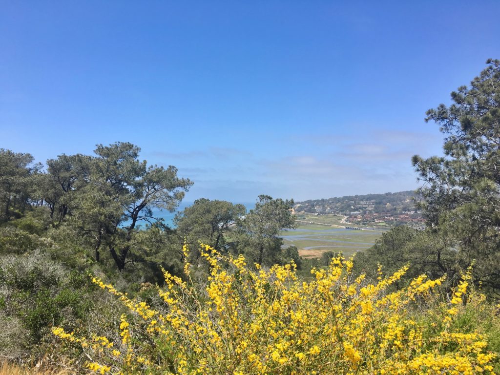
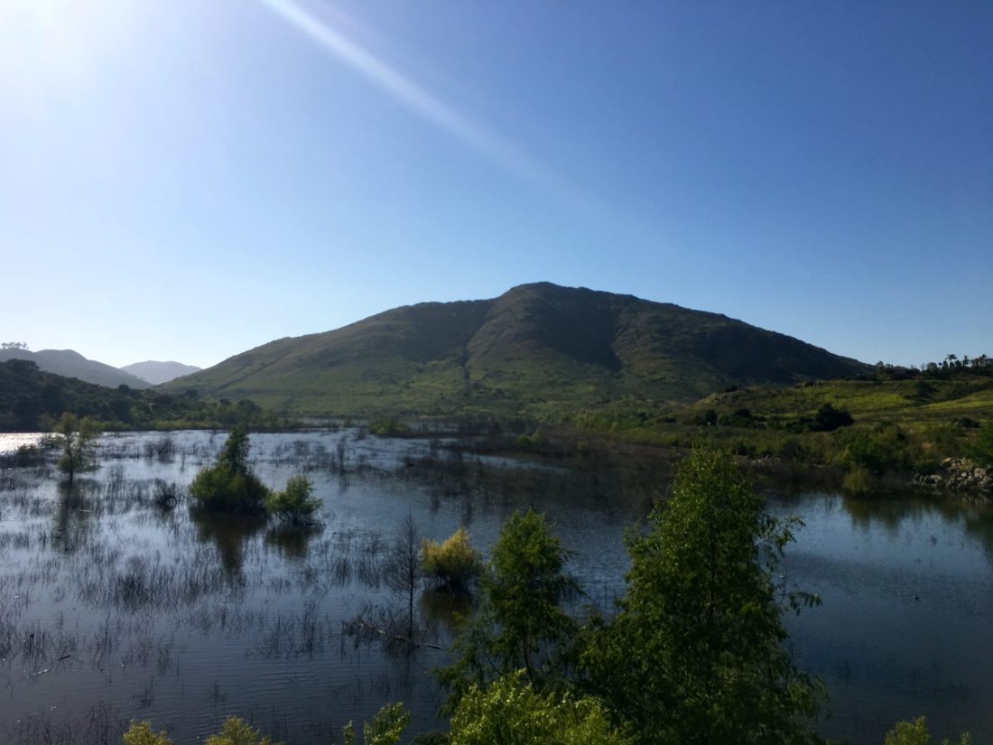
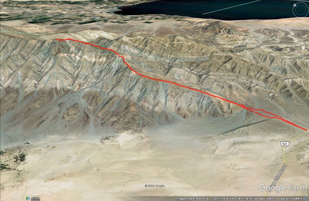
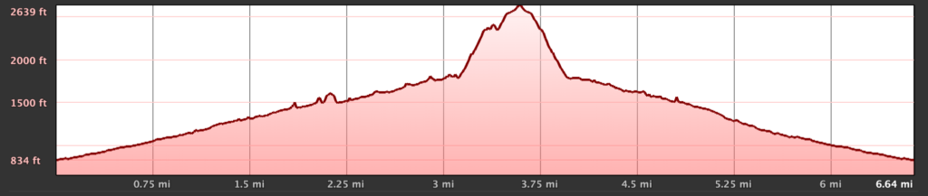
Today’s summit was Agua Tibia, a 4,779-foot peak near the San Diego- Riverside county line. Our planned peak, Square Top, could not be attempted due to a music festival being held on the Los Coyotes Indian Reservation.

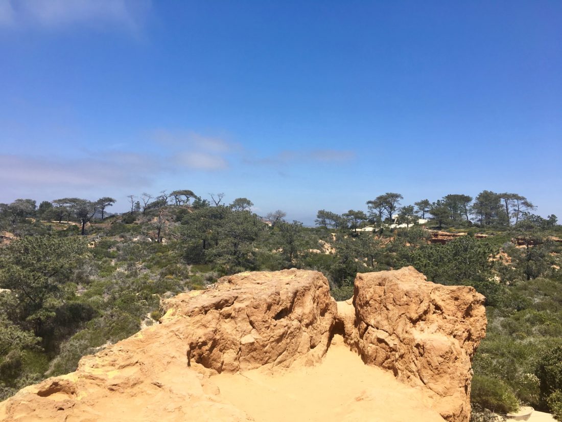
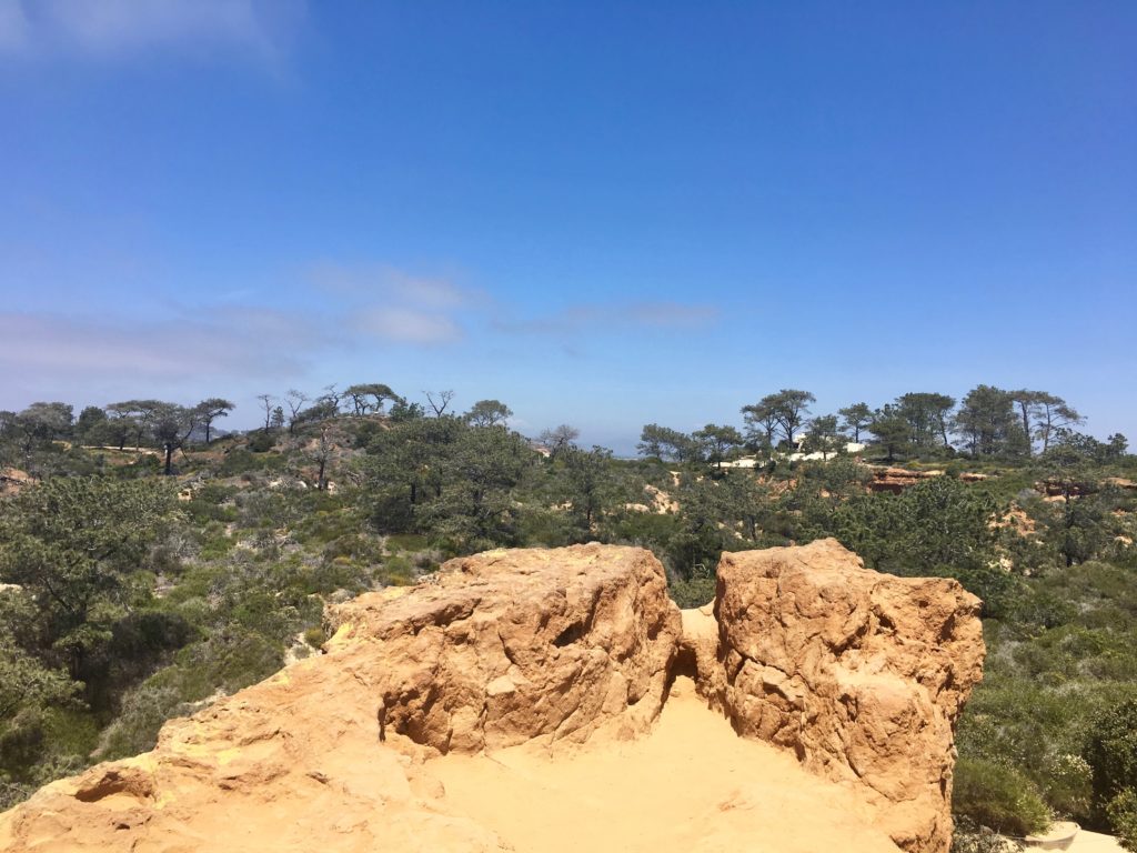
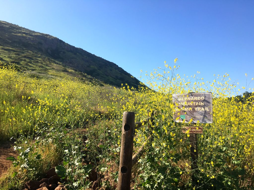
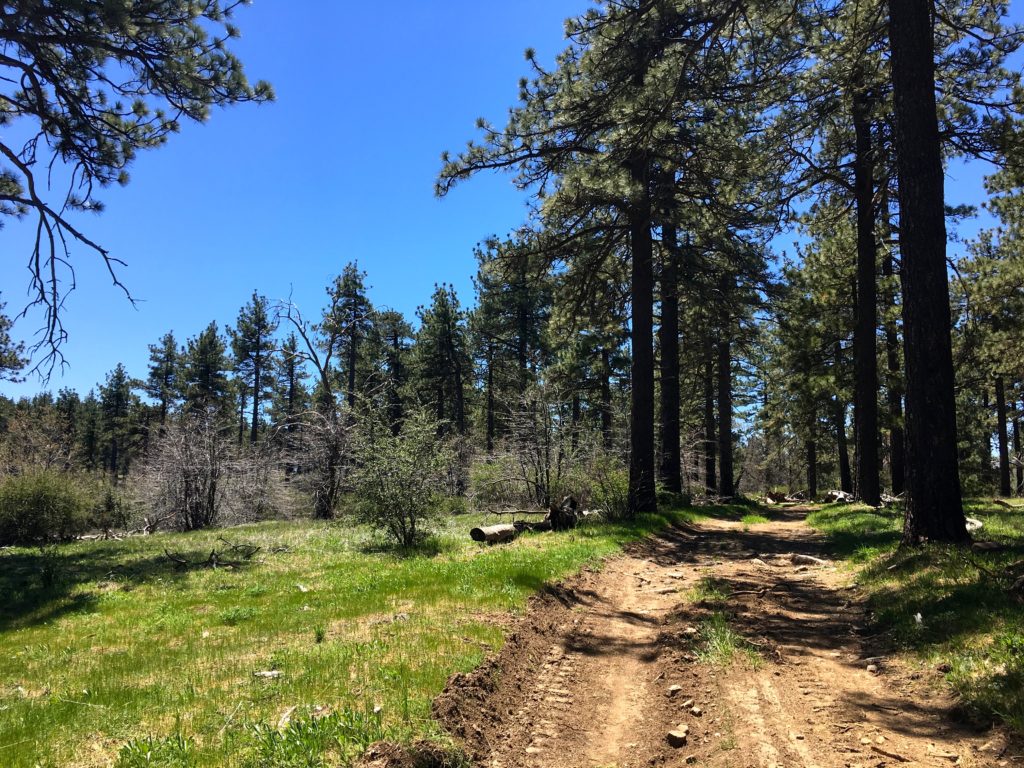
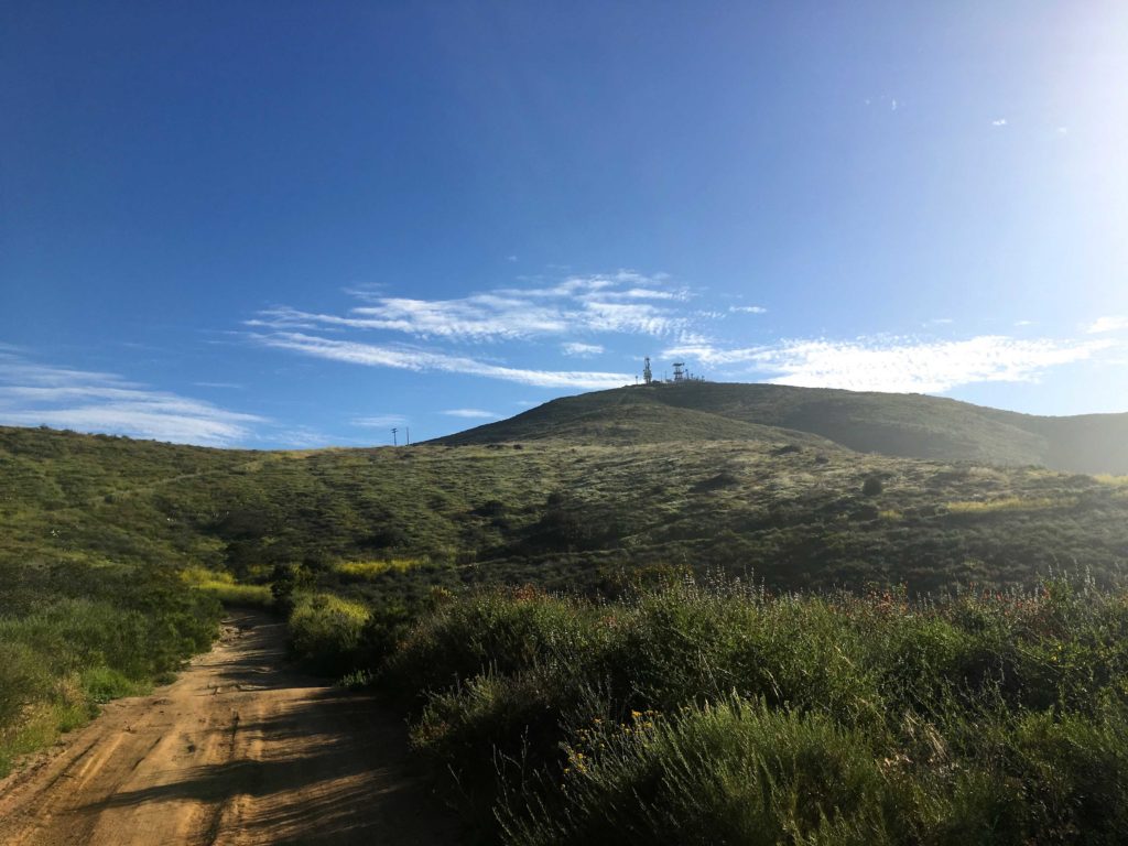
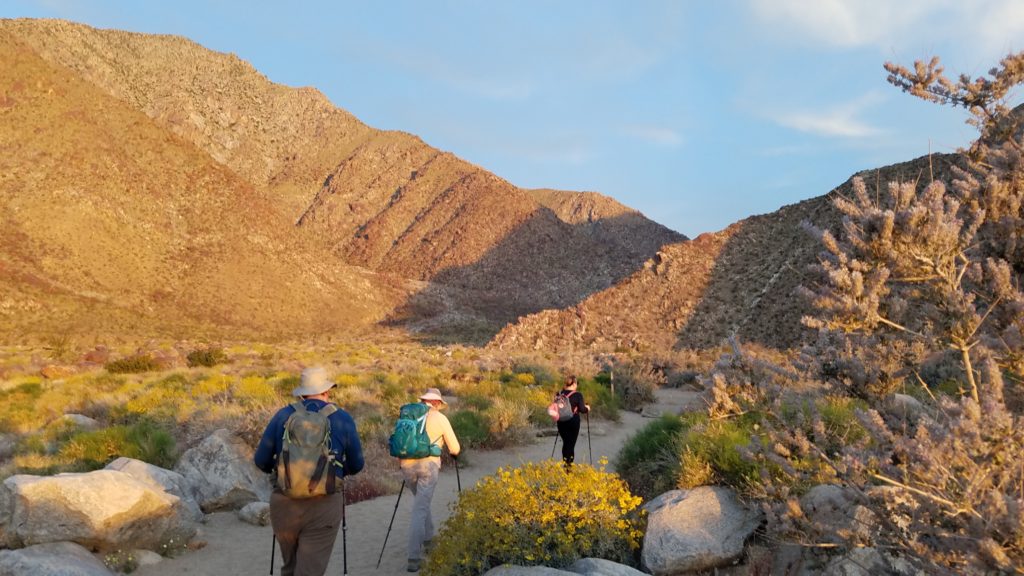
The trail starts in the Dripping Springs campground and begins its climb upward. The weather was pleasant, and the smell of flowers filled the air. The trail weaved its way upward, at times switching back and forth to gain elevation. To our north, the snow-capped mountains framed our views.

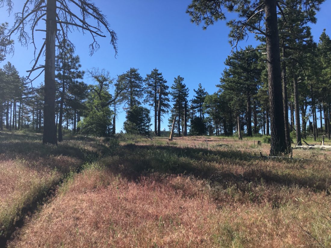
About 4 miles in, Ted and I found a nice spot for a break. The route is not too hard, mostly just long…


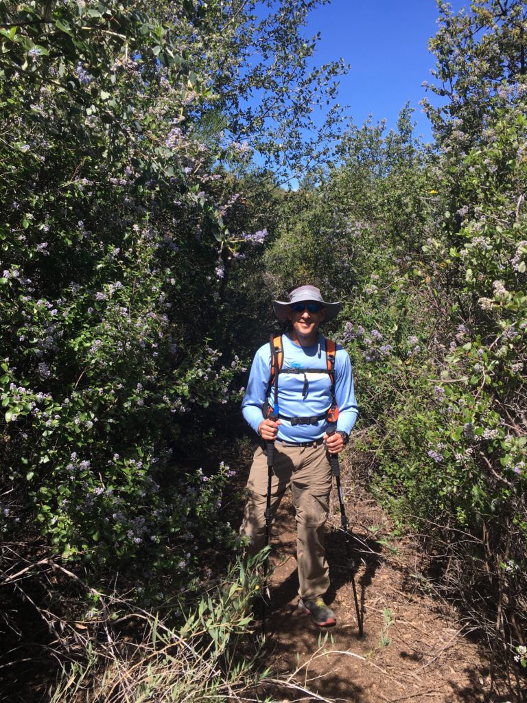
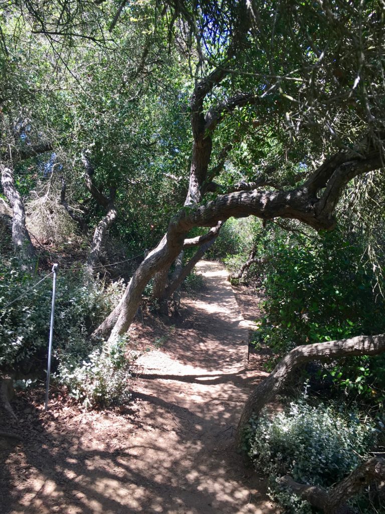
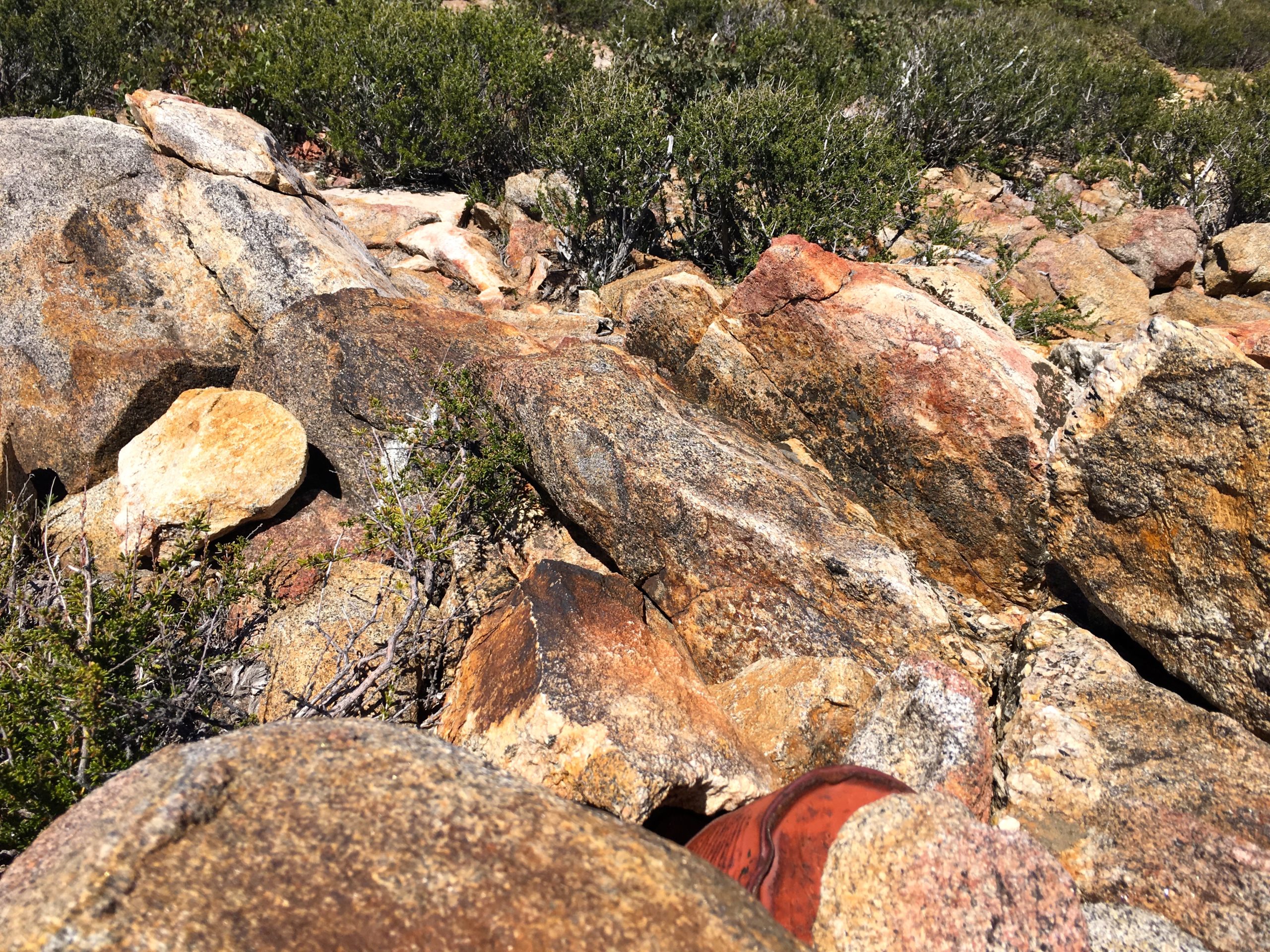
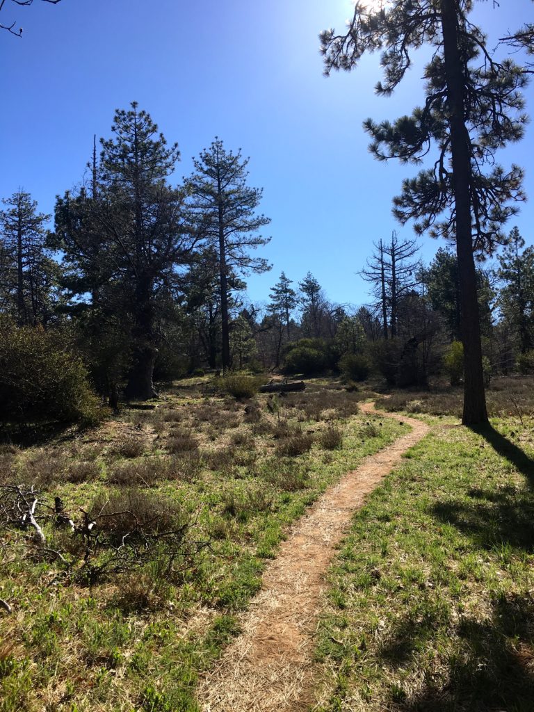
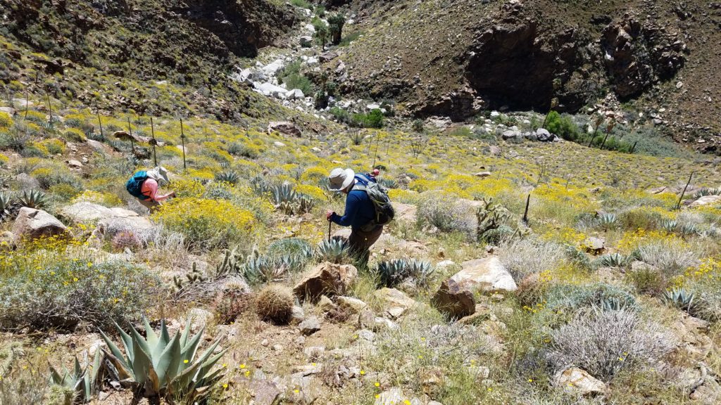
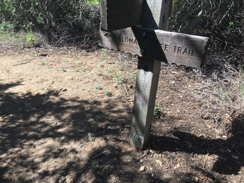
On the way up we encountered two trail runners. One told us the Wild Horse trail had some downed trees. But we were not doing this peak as a loop. Soon we found ourselves about 8 miles in and looking for the use trail to the summit. This was the only portion that had some challenges, as we bushwhacked our way forward. The Palomar-Magee section used to require you to pass through hunched-over. Thankfully, this section has now been cleared.

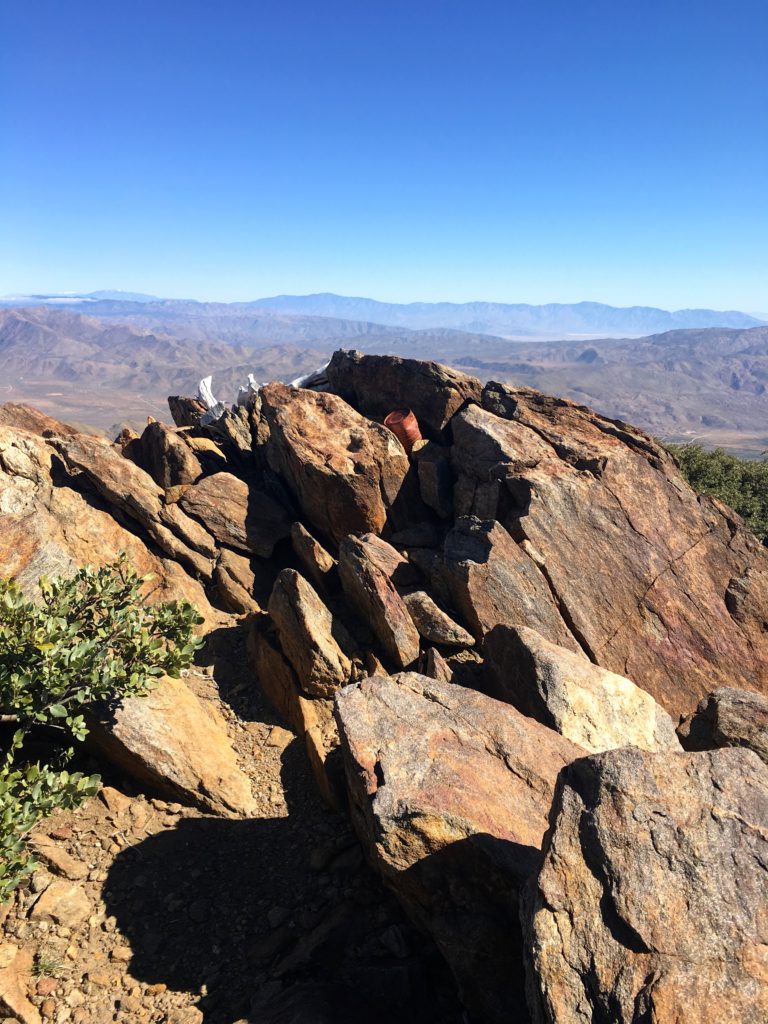
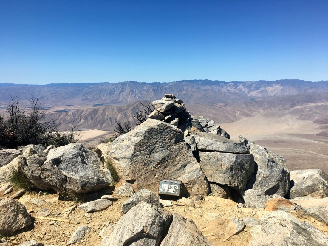
We found the register, the primary benchmark, and one reference marker. I signed us in and took another break.

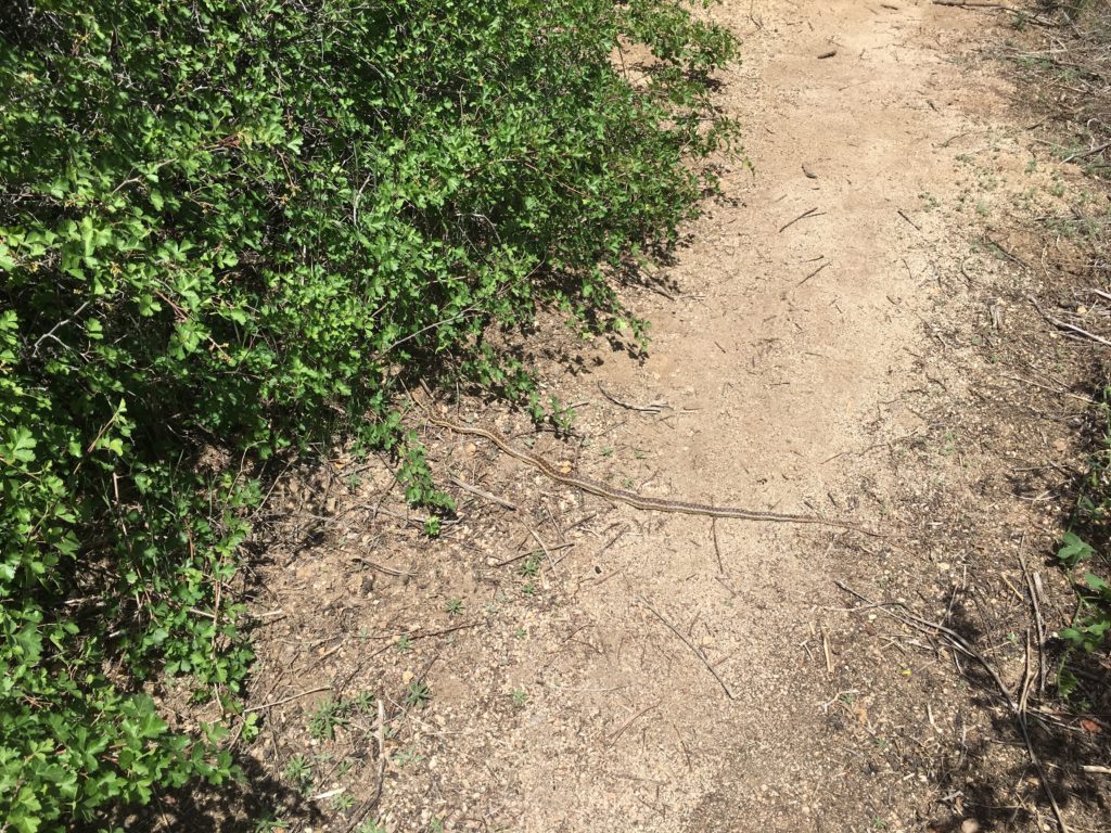
Then we put our packs back on and grabbed our poles and began heading back down the mountain. The miles passed quickly, and we spotted a snake basking in the sun. Since this little fella was just a garter snake, we stepped over it.

We found ourselves back at the same logs for another break. That is one thing that this trail lacks is spots for a break. About a half mile later, we found a family resting on the trail. They looked woefully under-prepared for the hike they are on. Thankfully, they did turn around. As we continued down, we encountered a few more hikers. I doubt they were planning to summit the peak.

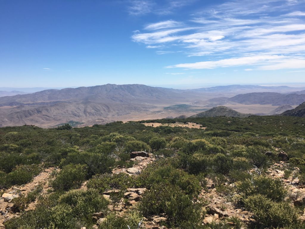
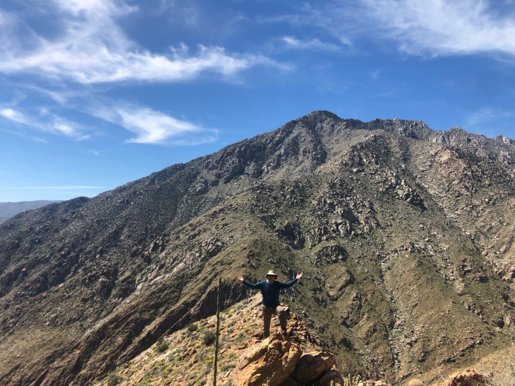
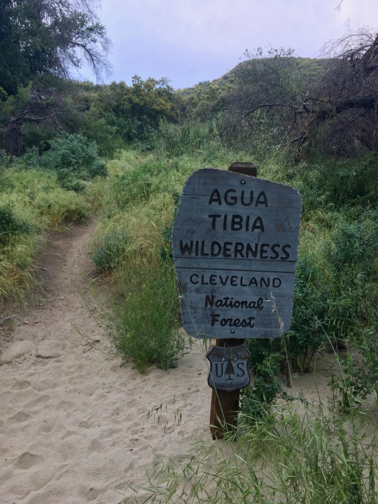
Near the base of the trail, someone was doing some maintenance, and we thanked him for his efforts. Soon, we were passing the Agua Tibia Wilderness Sign and the end of our hike. We covered just over 16 miles, climbing over 3,400 feet of elevation to the summit at 4,762. This hike took just under 8 hours and was a great hike for my 95th peak on my 100 Peak Challenge!


Buy Me a Coffee at ko-fi.com

I am an avid peak bagger, sometimes backpacker, and former sea kayaker living in San Diego. I am the co-author of Urban Trails:San Diego, coming in Spring 2026!

In 2019, I became the third person to complete the San Diego 100 Peak Challenge. Not stopping with that accomplishment, I set my sights on the harder San Diego Sierra Club 100 Peak list, which I completed in 2021. In addition, I have conquered several Six-Pack of Peaks challenges (SoCal, San Diego, Central Coast, and both the Arizona-Winter and Arizona-Summer). I am looking forward to exploring new summits and new adventures across the southwest. 

Torrey Pines – Red Butte

This peak was added as a replacement for Peak 4156. Since I had to drop my daughter off at school for a very late start, I thought I would head over to Torrey Pines and get a quick hike in.

I found parking along the coast and headed south along the Coast Highway. The “trail” follows the road to the top of the bluffs. Tourists, joggers, and bikers were making their way up and down (not the bikers, new rules for them – one-way only now).

Leaving the western parking lot, I followed a well-maintained trail for a bit. Most will continue on down toward the beach or an overlook, but to reach Red Butte, you make a right turn. The trail passes through a nice short shaded section (this might be a precursor to a portion of Agua Tibia).

The butte is a small area, with a few folks atop it admiring the view. I snapped a few photos and head back down (that work thing…). I opted to take the other trail back, making it a small lollipop hike.

I wanted to go to the top of the Torrey Highland and photograph the benchmark, but that trail was closed for maintenance. Coming down the road, you are rewarded with some lovely views of the Los Penasquitos Marsh.


Buy Me a Coffee at ko-fi.com

I am an avid peak bagger, sometimes backpacker, and former sea kayaker living in San Diego. I am the co-author of Urban Trails:San Diego, coming in Spring 2026!

In 2019, I became the third person to complete the San Diego 100 Peak Challenge. Not stopping with that accomplishment, I set my sights on the harder San Diego Sierra Club 100 Peak list, which I completed in 2021. In addition, I have conquered several Six-Pack of Peaks challenges (SoCal, San Diego, Central Coast, and both the Arizona-Winter and Arizona-Summer). I am looking forward to exploring new summits and new adventures across the southwest. 

Bernardo Mountain

With my restarting of the 100 Peak Challenge, I needed to summit Bernardo Mountain again. Since it is so close to my home, I wanted to do this peak after work. Ted was available to tag along, so off we went.

As we crossed over the David Kreitzer Lake Hodges Bicycle Pedestrian Bridge, the water shimmered beneath us. Around us, the hills were still green.

The wide trail wraps around toward the west, crossing a small stream along the way. On this portion of the trail, you will encounter mountain bikers and other folks using the trail.

Soon after the stream crossing, you will reach the turnoff for the trail to the summit.

The trail begins its climb up the mountain from the north side. After a few steeper sections, you reach the summit. Here you are rewarded with some sweeping views of Lake Hodges.

We cruised back down, keeping an eye out for snakes along the way. The sun was just setting behind the hills to the west as we crossed back over the lake.


Buy Me a Coffee at ko-fi.com

I am an avid peak bagger, sometimes backpacker, and former sea kayaker living in San Diego. I am the co-author of Urban Trails:San Diego, coming in Spring 2026!

In 2019, I became the third person to complete the San Diego 100 Peak Challenge. Not stopping with that accomplishment, I set my sights on the harder San Diego Sierra Club 100 Peak list, which I completed in 2021. In addition, I have conquered several Six-Pack of Peaks challenges (SoCal, San Diego, Central Coast, and both the Arizona-Winter and Arizona-Summer). I am looking forward to exploring new summits and new adventures across the southwest. 

Garnet Mountain

The final peak of the day was Garnet Mountain, just around the corner from Pioneer Mall Campground. The Pacific Crest Trail runs right past the peak, but the short trail to this summit is just to the west. Ducking under a metal gate, the rocky trail heads up, and the wind continued to blow.

Once the trail ends, a hint of a use trail could be seen, up through the brush, I went. Atop the summit, I found the register and carefully signed in to prevent it from blowing away.

From the summit, Anza-Borrego was spread out before me. So many familiar peaks dotted the view. Then it was back down to the car, covering a mere 0.75 miles for the entire trip.

Granite Mountain in the distance

Buy Me a Coffee at ko-fi.com

I am an avid peak bagger, sometimes backpacker, and former sea kayaker living in San Diego. I am the co-author of Urban Trails:San Diego, coming in Spring 2026!

In 2019, I became the third person to complete the San Diego 100 Peak Challenge. Not stopping with that accomplishment, I set my sights on the harder San Diego Sierra Club 100 Peak list, which I completed in 2021. In addition, I have conquered several Six-Pack of Peaks challenges (SoCal, San Diego, Central Coast, and both the Arizona-Winter and Arizona-Summer). I am looking forward to exploring new summits and new adventures across the southwest. 

Pine Mountain

As part of my 100 Peaks Challenge Reboot, I am hiking these peaks again. Since my planned peak had a forecast of 25-35 mph winds, with possible gusts to 50 mph, it decided to look for other options. So, a set of peaks in the Laguna Mountains fit the bill. In gathering my route information, I looked a bit closer at what Ben and I hiked. Now that I am a bit more seasoned in map reading, I realized that while we had hiked a loop along the Pine Mountain Trail, we actually did not approach the actual mountain.

It turns out that when the Pine Mountain Trail intersects with the dirt road, instead of going straight, you should hang a right onto the road.

The road had been recently graded, as there were no ruts to be found. The road headed north, then turn west as it gently climbed upward. Once I passed enough of the brush, I left the road and began heading south across the open forest floor.

The crunch of the leaves under my feet was a sound I had not heard in a while, as for the past few months I had been hiking in Anza-Borrego. I soon found myself at the top of this gentle summit, sat on a log, and enjoyed a short snack. While the pine trees gave me some nice shade, there really is not any view. I knew this summit would be both benchmark and register-free, so I retraced my steps and returned to the car.


Buy Me a Coffee at ko-fi.com

I am an avid peak bagger, sometimes backpacker, and former sea kayaker living in San Diego. I am the co-author of Urban Trails:San Diego, coming in Spring 2026!

In 2019, I became the third person to complete the San Diego 100 Peak Challenge. Not stopping with that accomplishment, I set my sights on the harder San Diego Sierra Club 100 Peak list, which I completed in 2021. In addition, I have conquered several Six-Pack of Peaks challenges (SoCal, San Diego, Central Coast, and both the Arizona-Winter and Arizona-Summer). I am looking forward to exploring new summits and new adventures across the southwest. 

Garnet Peak

My second summit of the day was to be Garnet Peak (Monument Peak was first). Just a few minutes up the road from the Monument Peak Trailhead is the trailhead to Garnet Peak. If you are looking for a longer hiking day, you could hike between them along the Pacific Crest Trail.

The trailhead is denoted by a metal pole, then heads off across a lovely forest meadow. I did have to nudge a small garter snake off the trail.

Once the trail intersects with the Pacific Crest Trail, the real climb began. I remembered this peak giving me a bit of difficulty the first time. The trail got a bit rocky as it climbed upward.

Once at the summit, you are rewarded with a sweeping view of Anza-Borrego. The wind was still making its presence felt. The summit was register-less and there is no benchmark. I did not stay long, as 30 mph wind can be chilly.


Buy Me a Coffee at ko-fi.com

I am an avid peak bagger, sometimes backpacker, and former sea kayaker living in San Diego. I am the co-author of Urban Trails:San Diego, coming in Spring 2026!

In 2019, I became the third person to complete the San Diego 100 Peak Challenge. Not stopping with that accomplishment, I set my sights on the harder San Diego Sierra Club 100 Peak list, which I completed in 2021. In addition, I have conquered several Six-Pack of Peaks challenges (SoCal, San Diego, Central Coast, and both the Arizona-Winter and Arizona-Summer). I am looking forward to exploring new summits and new adventures across the southwest. 

Monument Peak

So, I had planned to try fully summiting The Thimble today, but the weather forecast was crazy windy with up to 50 mph gusts. So, instead, I decided to summit several peaks out in the Lagunas. First up was Monument Peak.

This was a 2.87-mile hike to the peak. It was windy! I knew I made the right choice not to attempt The Thimble. I did find the tiny benchmark and left a new register in the can.

Unlike the first time, I had no route-finding issues coming back. Coming back down I had a nice chat with two European PCT hikers. Another four hikers passed me on their NOBO journey. Soon I was back at the car and off to peak #2, Garnet Peak.


Buy Me a Coffee at ko-fi.com

I am an avid peak bagger, sometimes backpacker, and former sea kayaker living in San Diego. I am the co-author of Urban Trails:San Diego, coming in Spring 2026!

In 2019, I became the third person to complete the San Diego 100 Peak Challenge. Not stopping with that accomplishment, I set my sights on the harder San Diego Sierra Club 100 Peak list, which I completed in 2021. In addition, I have conquered several Six-Pack of Peaks challenges (SoCal, San Diego, Central Coast, and both the Arizona-Winter and Arizona-Summer). I am looking forward to exploring new summits and new adventures across the southwest. 

Black Mountain (via Service Road)

When I decided to reboot my 100 Peak Challenge, I figured I should start with the peak in my backyard, Black Mountain. Normally I hike it via the Nighthawk trail, but this time I decided to do it via the service road. 

The road is mostly on the southwest side of the mountain, so I was glad to be doing it early in the morning before the became too warm. Once I reached the summit, Rancho Peñasquitos, Carmel Valley, and Del Mar lay before me. 

I snapped a few photos and headed back down. Now to work out the details of this reboot. Now that I have a lot more knowledge about almost all of the hikes I need to do again, I am sure I can work out a smarter strategy for hiking them.


Buy Me a Coffee at ko-fi.com

I am an avid peak bagger, sometimes backpacker, and former sea kayaker living in San Diego. I am the co-author of Urban Trails:San Diego, coming in Spring 2026!

In 2019, I became the third person to complete the San Diego 100 Peak Challenge. Not stopping with that accomplishment, I set my sights on the harder San Diego Sierra Club 100 Peak list, which I completed in 2021. In addition, I have conquered several Six-Pack of Peaks challenges (SoCal, San Diego, Central Coast, and both the Arizona-Winter and Arizona-Summer). I am looking forward to exploring new summits and new adventures across the southwest. 

Villager Peak

In my push to complete the 100 Peak Challenge, I wanted to attempt summiting Villager. This is a beast of a hike. As Susie Kara puts it, “Think of it like Coyote Mountain times 3!” The approximate round trip distance is 14 miles with an elevation gain of over 4,800 feet. The summit sits at 5,756’, so you are going to feel this hike! Unfortunately, none of my usual hiking partners were free, but my lovely wife said I could attempt this hike solo. Little did she know when I was planning to hit the trailhead… Since the furnace is awakening out in Anza Borrego, I needed to try to get some of the hike done under the cover of darkness. I forgot how beautiful the night sky is in the desert. Borrego Springs is a dark sky city, so the stars and the Milky Way shone brightly. I had to fight the urge to skip the hike and simply enjoy the heavens.

Loading up over 4 liters of fluids and switching on my headlamp, I headed across the desert floor. I tried to follow the trail to the base of the ridge. There was no moon, only my headlamp to guide me. I overshot the ridge and found myself heading up a wash. Quickly backtracking, I soon found the use trail that leads up from the desert floor onto the ridge.

The loose rocks clattered under my feet as I pushed upward over the first steep section of the ascent. The trail would oscillate between flatter sections and steep rocky sections. The use trail weaves past cacti with blooms waiting to open. The sun finally rose over the Santa Rosas, illuminating the desert. I carefully passed the steep drop-offs and continued ever upward. The trail would fade away at times, but it was quickly found again. The sections around miles 4 and 5 took some extra time to ascend. Reviewing my topo map, I knew I had some calmer sections on which to recover from those efforts.

The Salton Sea finally appeared from behind Mile High. I looked across at that peak, knowing it is also on the 100 Peak list, but the thought of dropping 1000’, then climbing that again to the summit seemed well beyond my conditioning. The plants continued to change as I continued to gain elevation. The gentle breeze helped keep the temperature down, plus the elevation helped as well. I knew the descent was going to be toasty, but for now, I would enjoy the wonderful weather. With one final push after a short descent from the pre-summit, I found myself on the summit of Villager! There is no Benchmark, but a full ammo box for the register. I took a short nap under the shade of a Pinyon.

Then back down the ridge. I did not expect anyone else on the mountain, but just as I was surprised on Coyote Mountain, the same occurred on Villager. First was a group of 6 hikers pushing toward the summit. They were followed by two more hikers, however, they were planning to continue on to Rabbit Peak after camping somewhere. About a mile or so later, I met two more hikers who were planning the do the grand loop. I wished them all good luck.

I carefully worked my way down those tricky sections and kept pushing downward. Unfortunately, my foot slid on some loose rock at one spot and angered my knee slightly. This did slow me a bit, but the use trail easily guided me back down the ridge. It was easier to see it on the descent, but isn’t that usually the case? Once back on the desert floor, the temperature was now pushing the mid-80s and I was feeling the past 13+ miles of hiking. I slowly crossed the wash that I had not seen fully in the predawn. I found the trail that escaped me at the start and I was finally back at the car, some 13 hours later.


Buy Me a Coffee at ko-fi.com

I am an avid peak bagger, sometimes backpacker, and former sea kayaker living in San Diego. I am the co-author of Urban Trails:San Diego, coming in Spring 2026!

In 2019, I became the third person to complete the San Diego 100 Peak Challenge. Not stopping with that accomplishment, I set my sights on the harder San Diego Sierra Club 100 Peak list, which I completed in 2021. In addition, I have conquered several Six-Pack of Peaks challenges (SoCal, San Diego, Central Coast, and both the Arizona-Winter and Arizona-Summer). I am looking forward to exploring new summits and new adventures across the southwest. 

Indianhead (attempt)

In the pre-dawn, we headed out to Anza-Borrego to attempt to summit Indianhead. This would have been my 94th peak. Along for the summit were Gail Welch, Susie Kara, and Ted Markus.

We hit the trail just as the sun rose. Quickly we found ourselves at the first palm oasis & the easy part of this hard hike was now done. The water was still flowing nicely from the canyon, and flowers still dotted the desert floor. Now we began working our way up the canyon, scrambling over boulders and crisscrossing the stream multiple times.

As we neared the third palm oasis, two hikers were enjoying their breakfast atop one of the very large boulders. Soon we reached our exit point from the canyon onto the push up to the ridgeline. The sun had climbed above the mountain and was certainly warming us up.

The climb up was intense. Insanely steep and loose rocks everywhere. While the hillside was covered in flowers, these served to hide the cactus.

The steepness and the rising temperatures were starting to take a toll on me. We took several breaks as we made our along to the ridge proper. Finally, I reached my limit and made the call to abort the attempt.

Once we reached the canyon floor, we took a much-needed break in the shade. We then began working our way back down the canyon, the heat reinforcing our decision to turn back. We knew the forecast, but we were hoping to make it up and back before it became too hot. Oh well. We reached within .8 miles of the summit but still had some 1,200 feet of elevation to gain. To say this was no easy hike would be an understatement.

The water and flowers continued to amaze us. Although it was a failed summit, the nature show in the canyon made up for it.

We finally reached the first palm oasis. I had actually used up my water, so Ted and Gail gave me some of theirs. Although I grew up in Bakersfield, I no longer have the resistance to heat. I’d bet the four of us were a sight to see as day hikers were headed up.

We reached the cars and shed our gear. Thanks again to Ted, Gail, and Susie for tagging along. So next weekend….??


Buy Me a Coffee at ko-fi.com

I am an avid peak bagger, sometimes backpacker, and former sea kayaker living in San Diego. I am the co-author of Urban Trails:San Diego, coming in Spring 2026!

In 2019, I became the third person to complete the San Diego 100 Peak Challenge. Not stopping with that accomplishment, I set my sights on the harder San Diego Sierra Club 100 Peak list, which I completed in 2021. In addition, I have conquered several Six-Pack of Peaks challenges (SoCal, San Diego, Central Coast, and both the Arizona-Winter and Arizona-Summer). I am looking forward to exploring new summits and new adventures across the southwest.