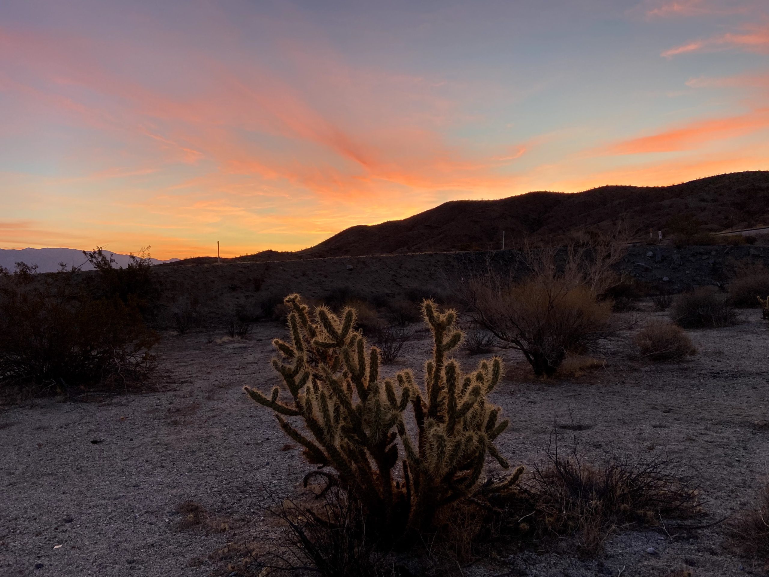
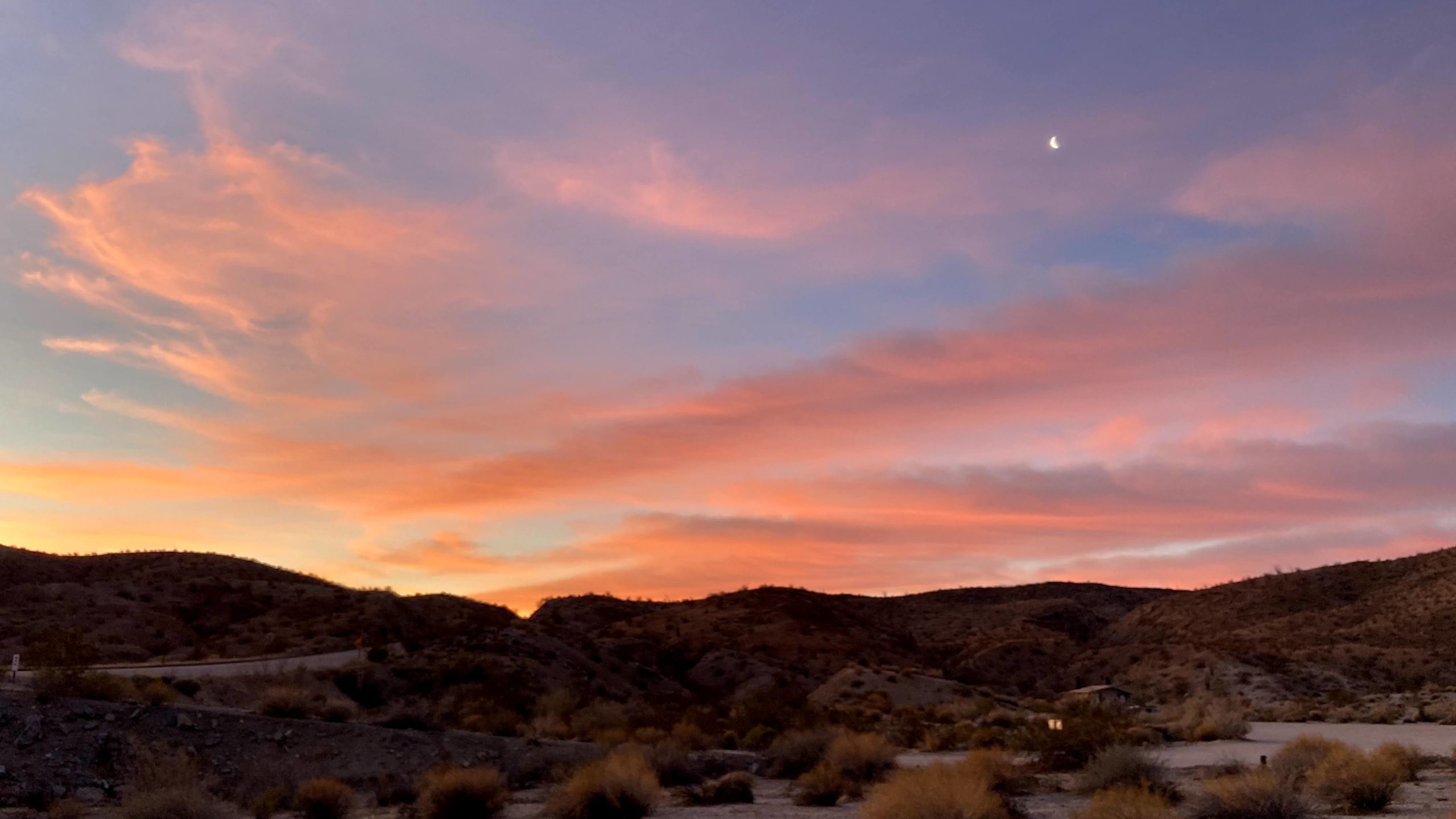
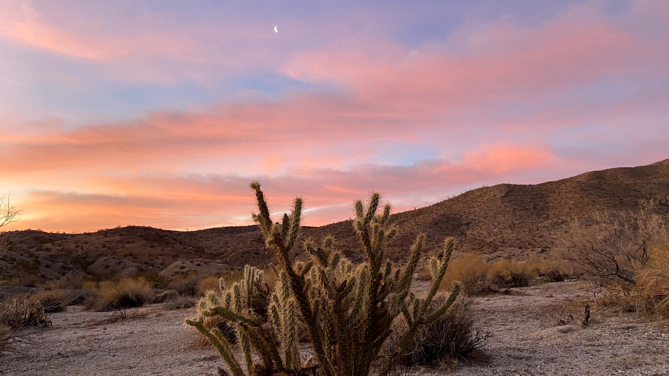
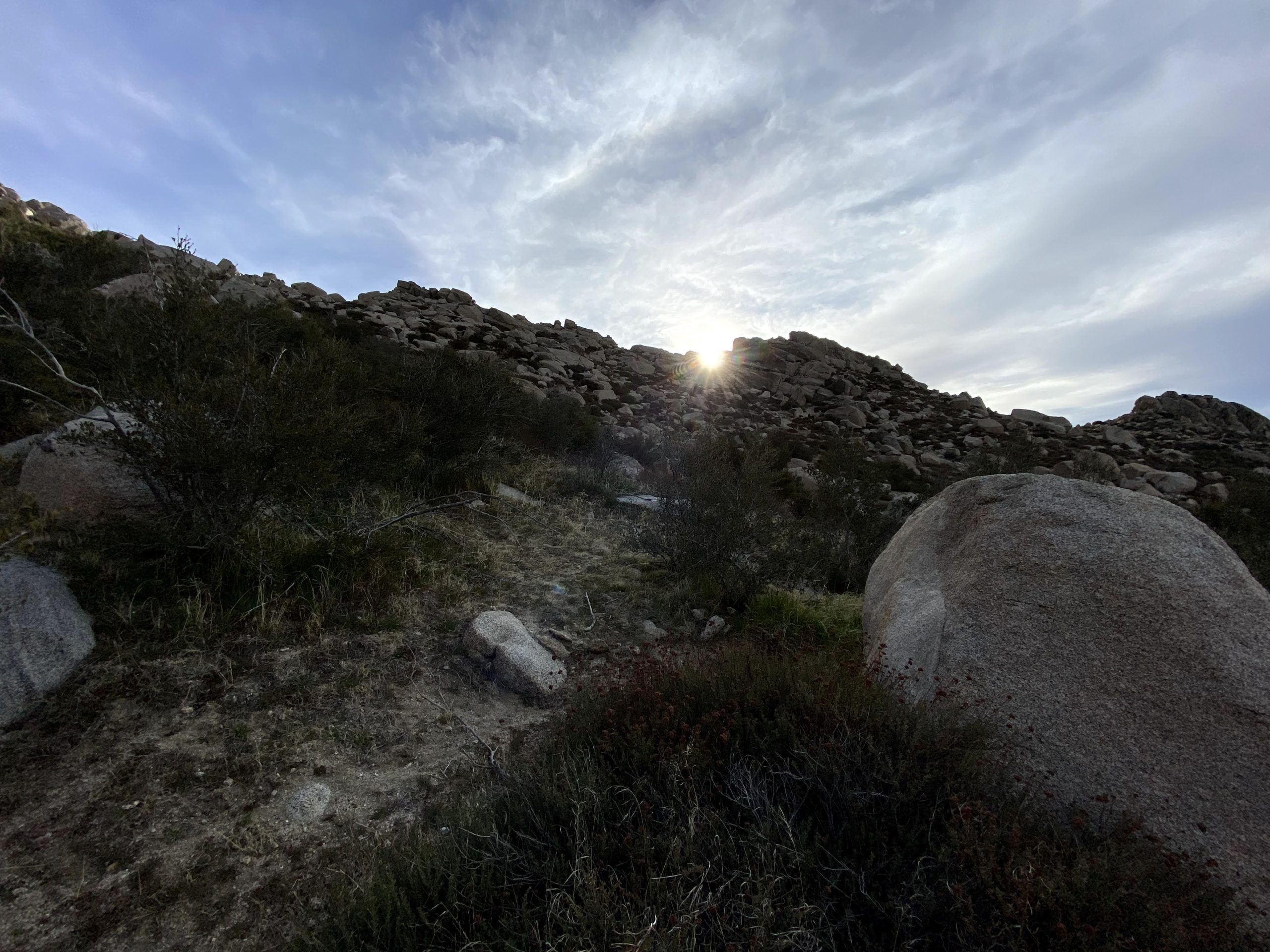
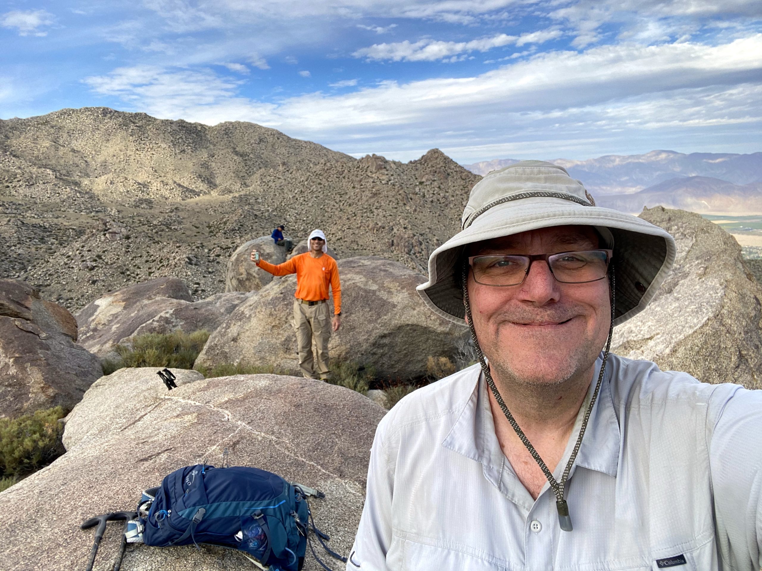
The day started way too early, as we had planned to meet up at the Hellhole Canyon Parking Lot at 6:15 am. Normally, we might have split a room at one of the nearby motels, but Covid nixed that option. Since we also had a Zoom birthday party for a good friend’s 50th, camping was also out of the question. We arrived a bit early, so Ted wandered around snapping some sunrise photos. Two of our planned hiking buddies had to bail after an extremely long previous day’s hike of Mile High. Greg had arranged with Laura Newman to shuttle us up to Ranchita and the start of the hike. Initially, she was going to join us, as she needed to summit Webo Benchmark, but could not afford the time. She opted to hike some smaller peaks, but still graciously offered to drive us. Greg showed up a bit behind schedule, as he ran into some friends who were also out in Anza Borrego hiking. This was fine with me as it gave me a chance to get to know Laura, whom I had only heard about from various folks.
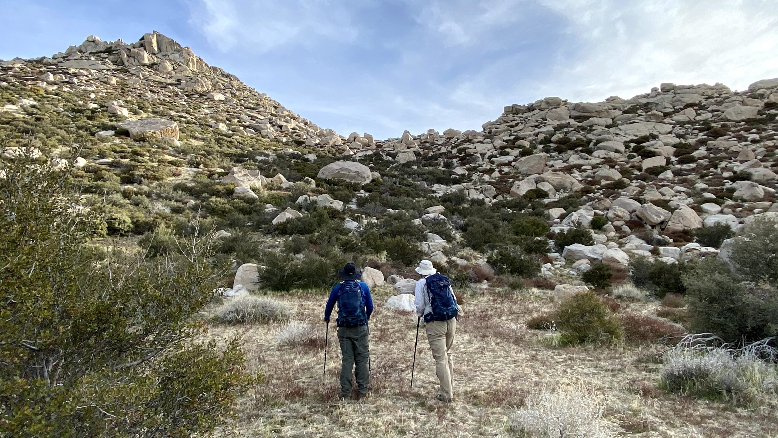
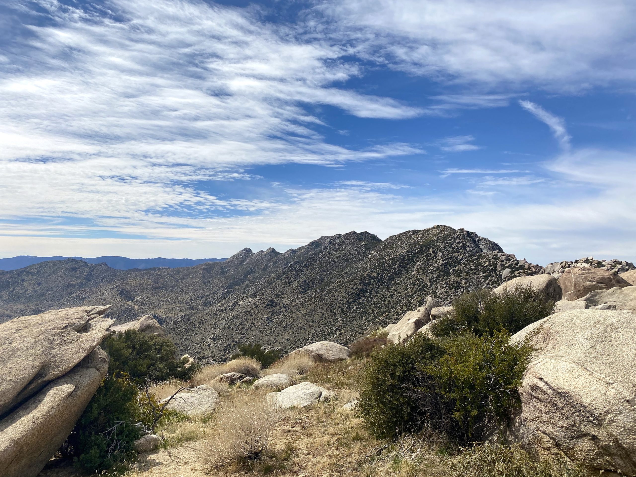
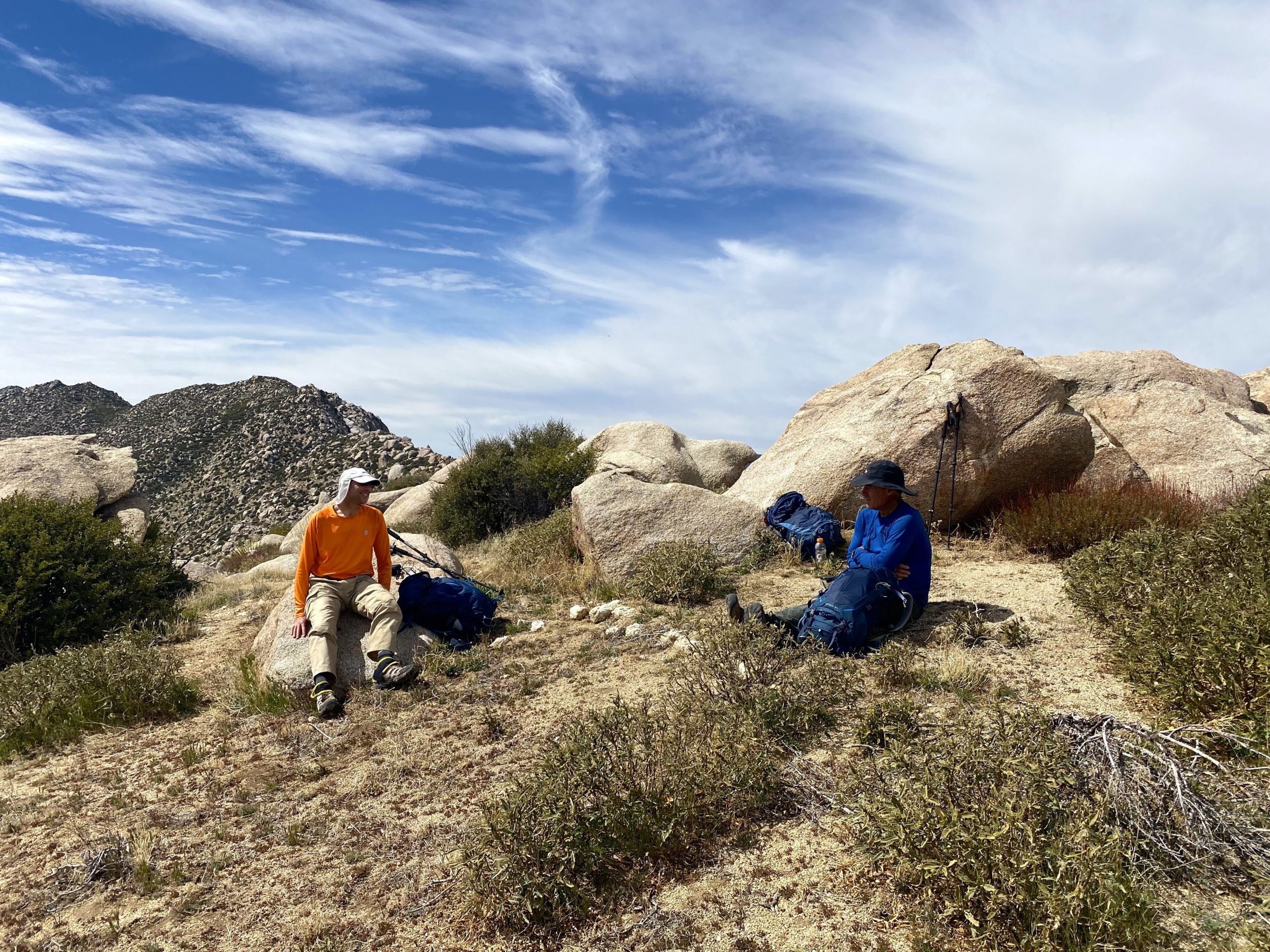
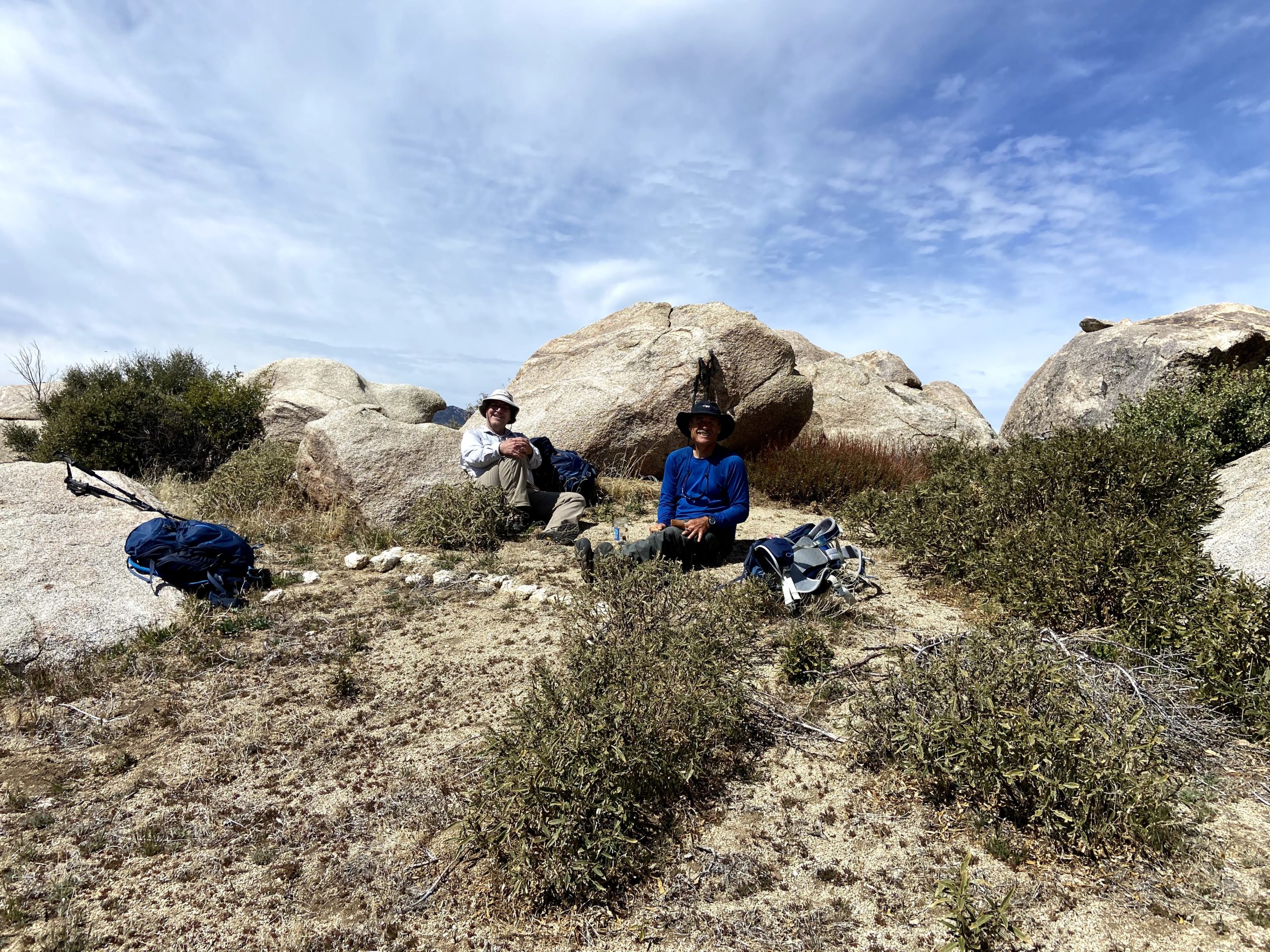
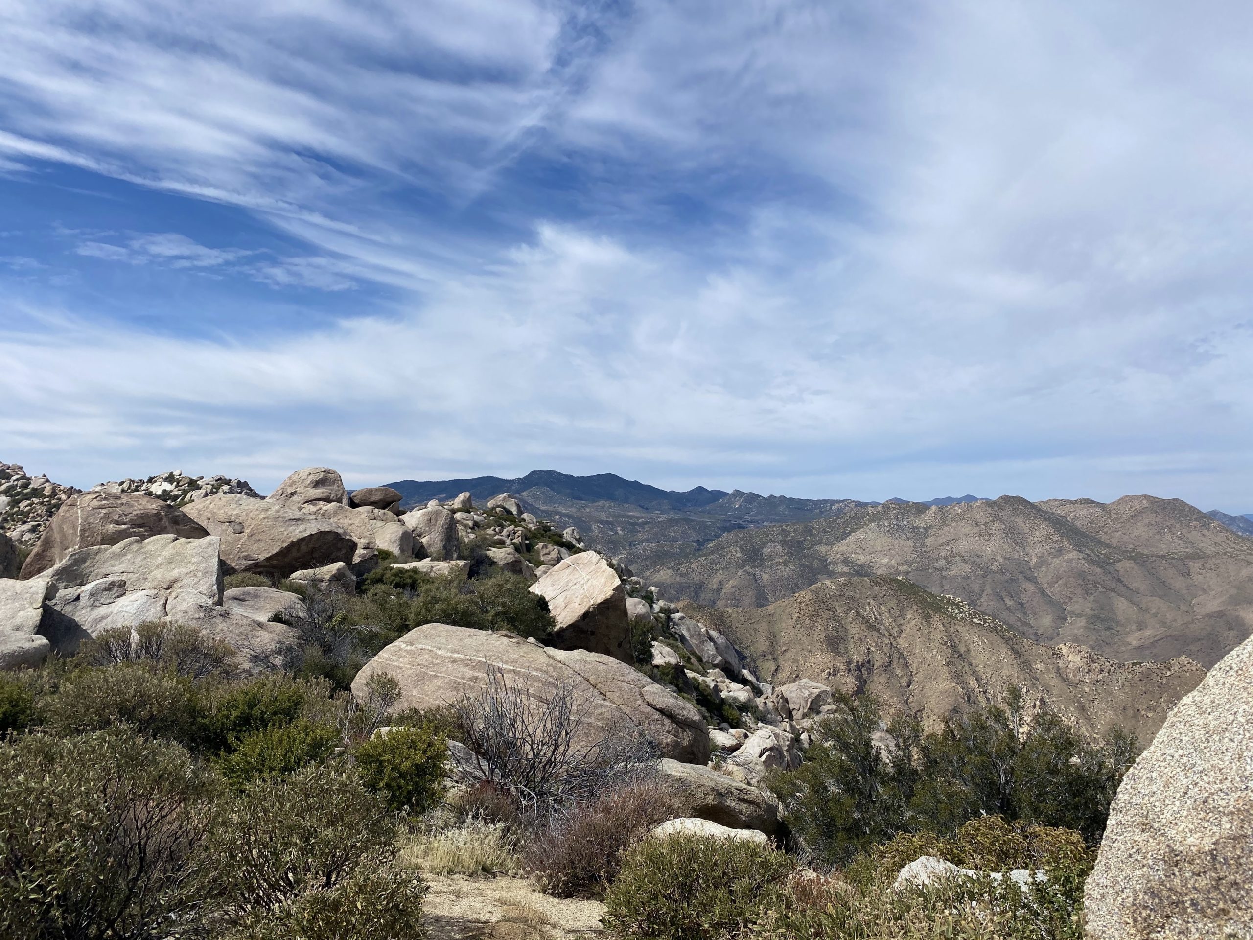
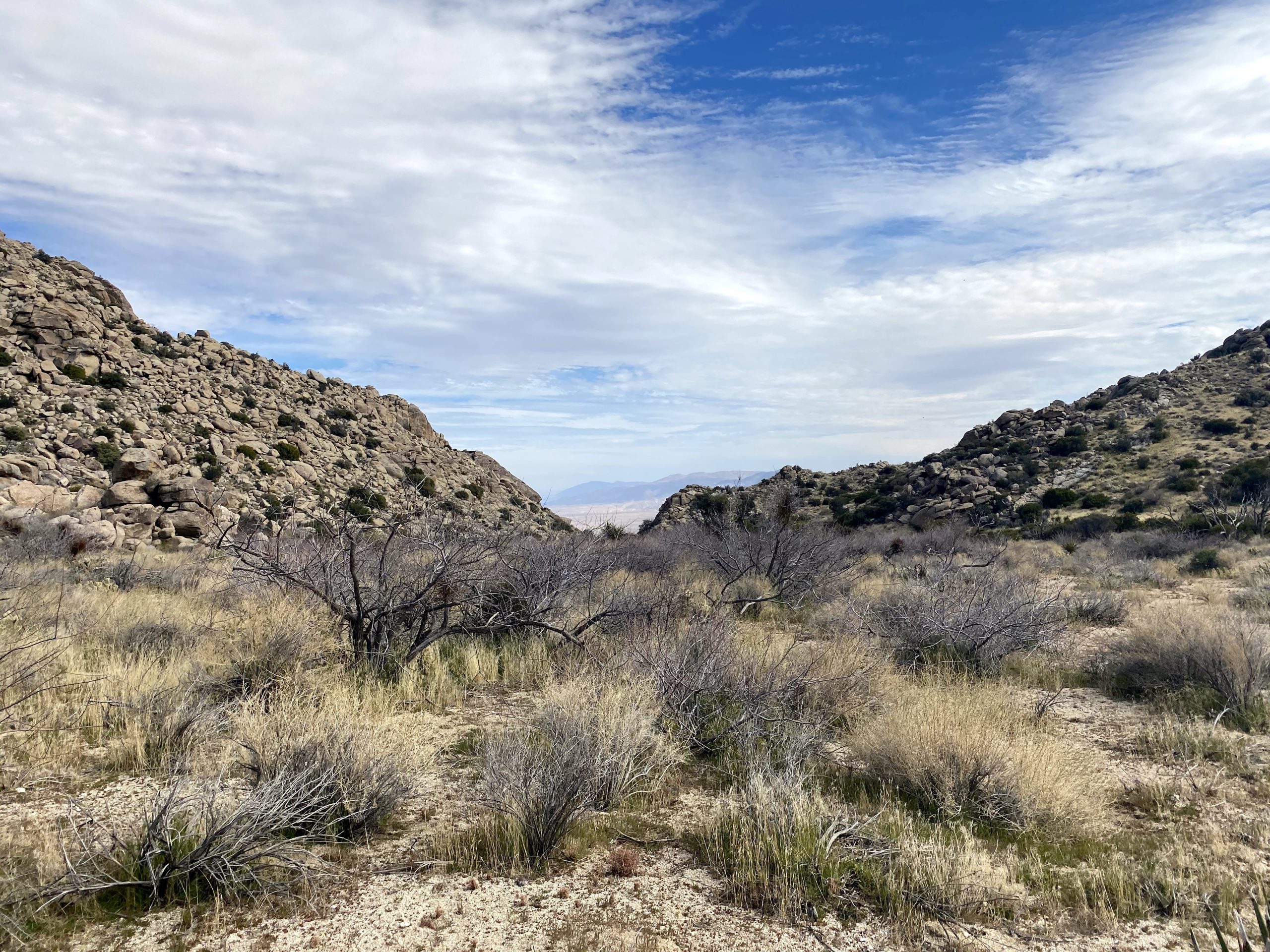
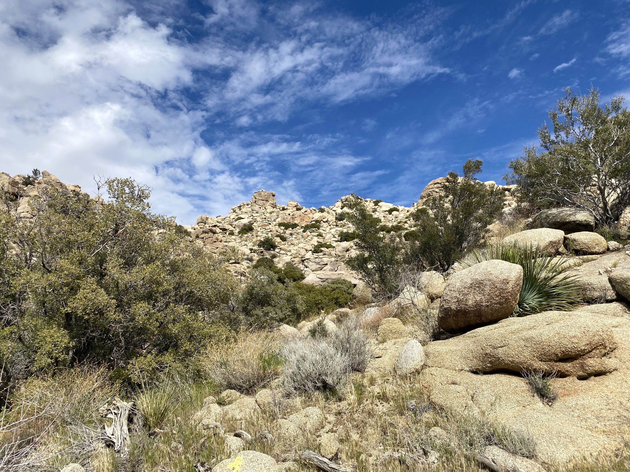
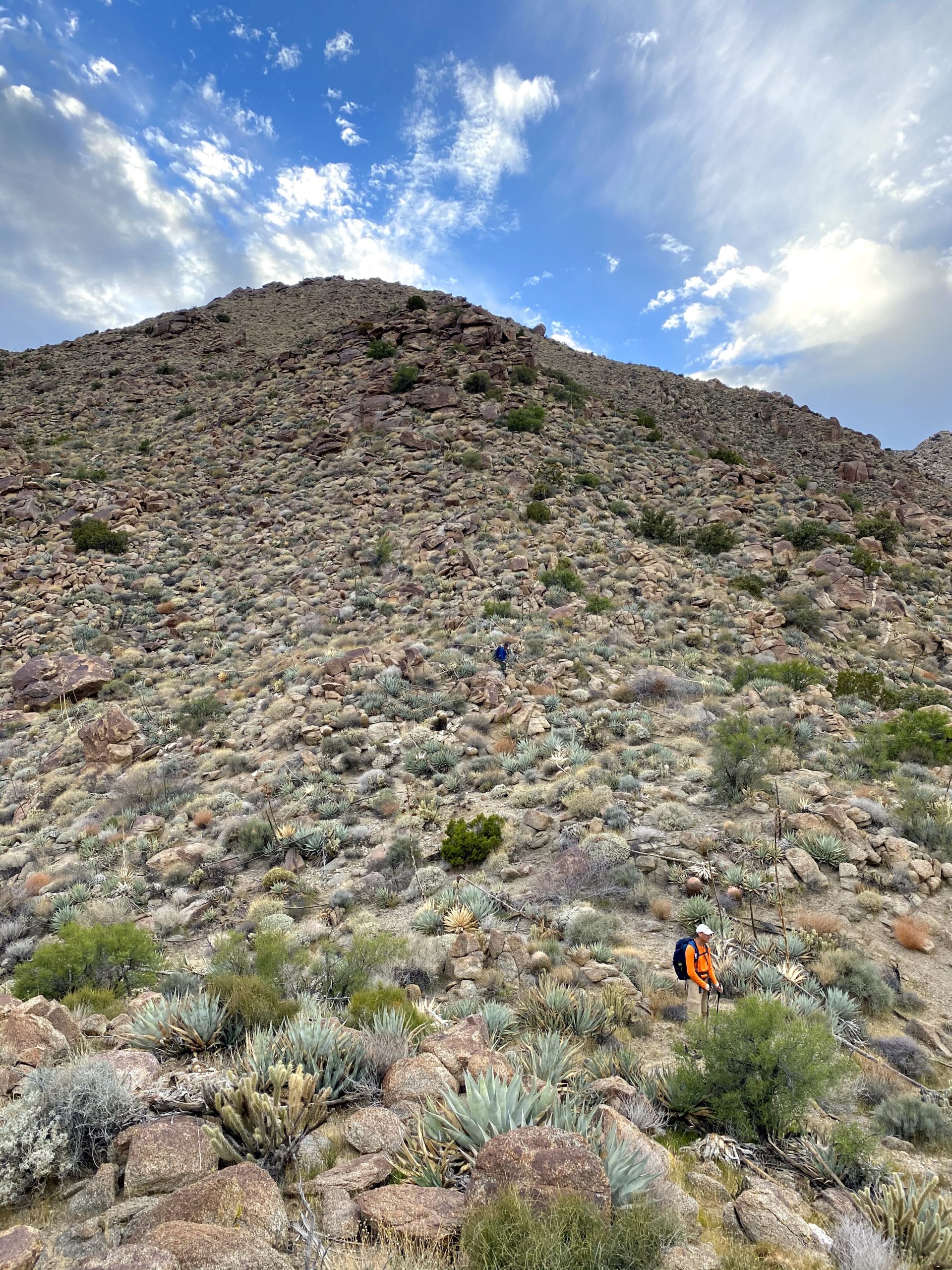
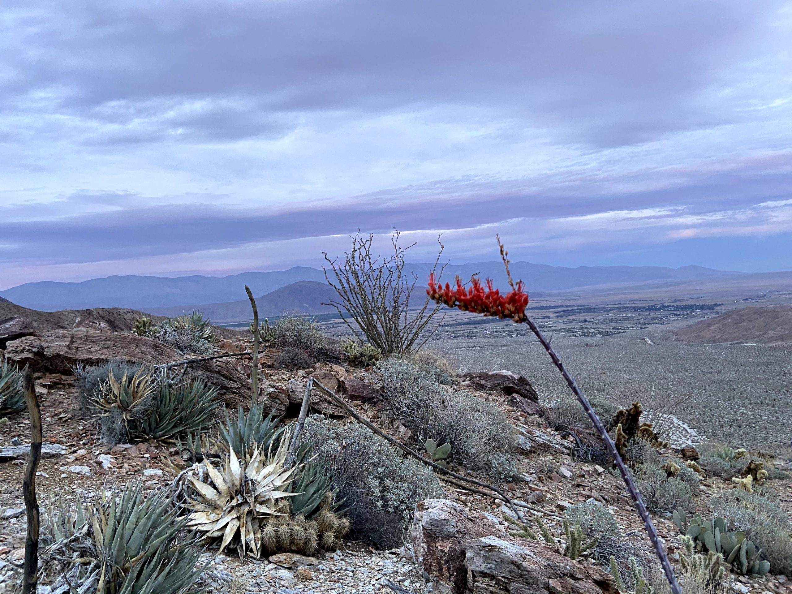
We drove back up toward Ranchita to the start of the hike. Initially, Alberto was supposed to meet us here to join us, as he had begun working on Sierra Club 100 list as well. Since he was not there, and I knew he had done Mile High the day before with Susie and Matt, we figured he bailed as well. It was a little chilly as we set up the usual route. Once at the turn-off from the road, we warmed up and shed a layer before heading toward the ridge to the south of the Thimble. We found a good spot to cross the barbed wire fence and began our short climb. Once on the ridge, we could see San Ysidro East Peak in the distance. We all had done this portion of the hike before, so we happily set off.

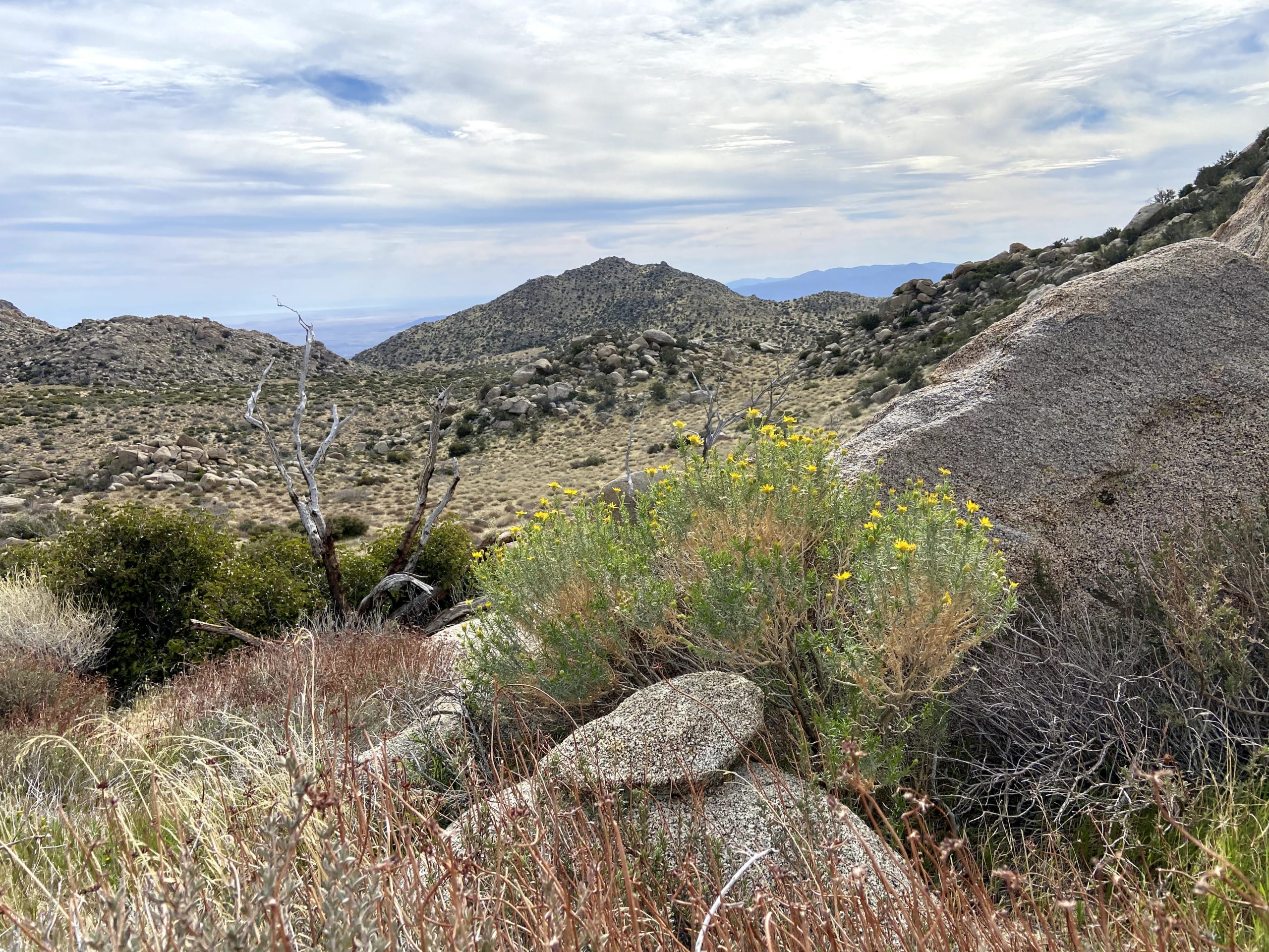
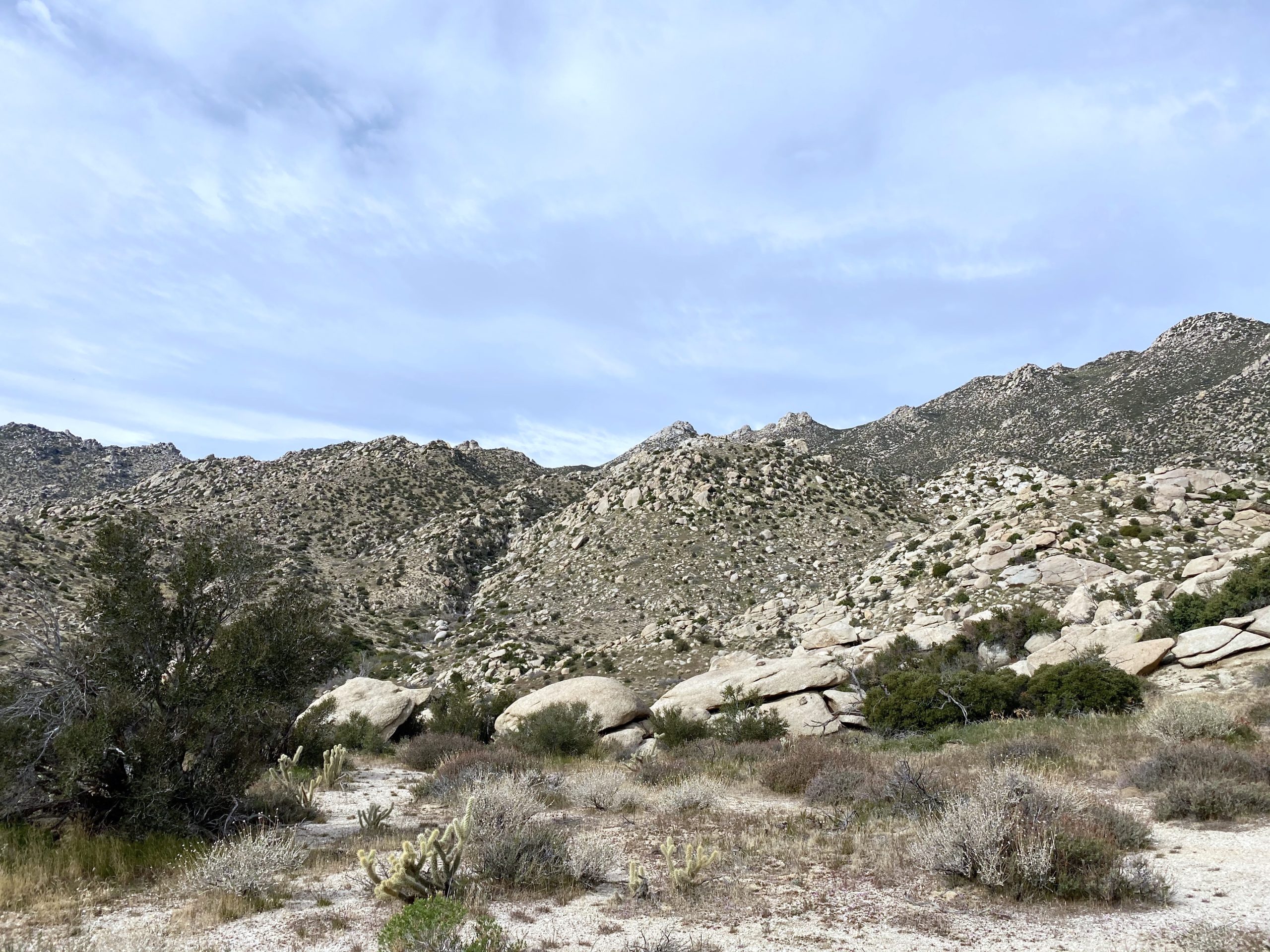

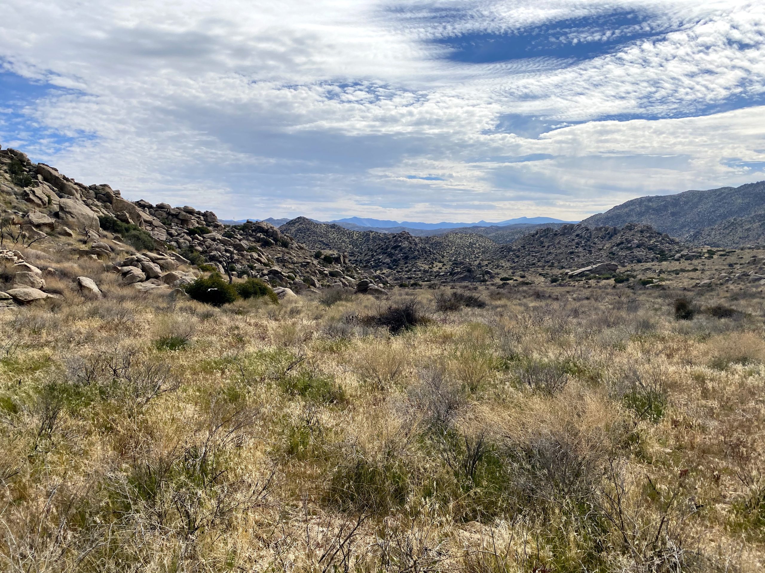
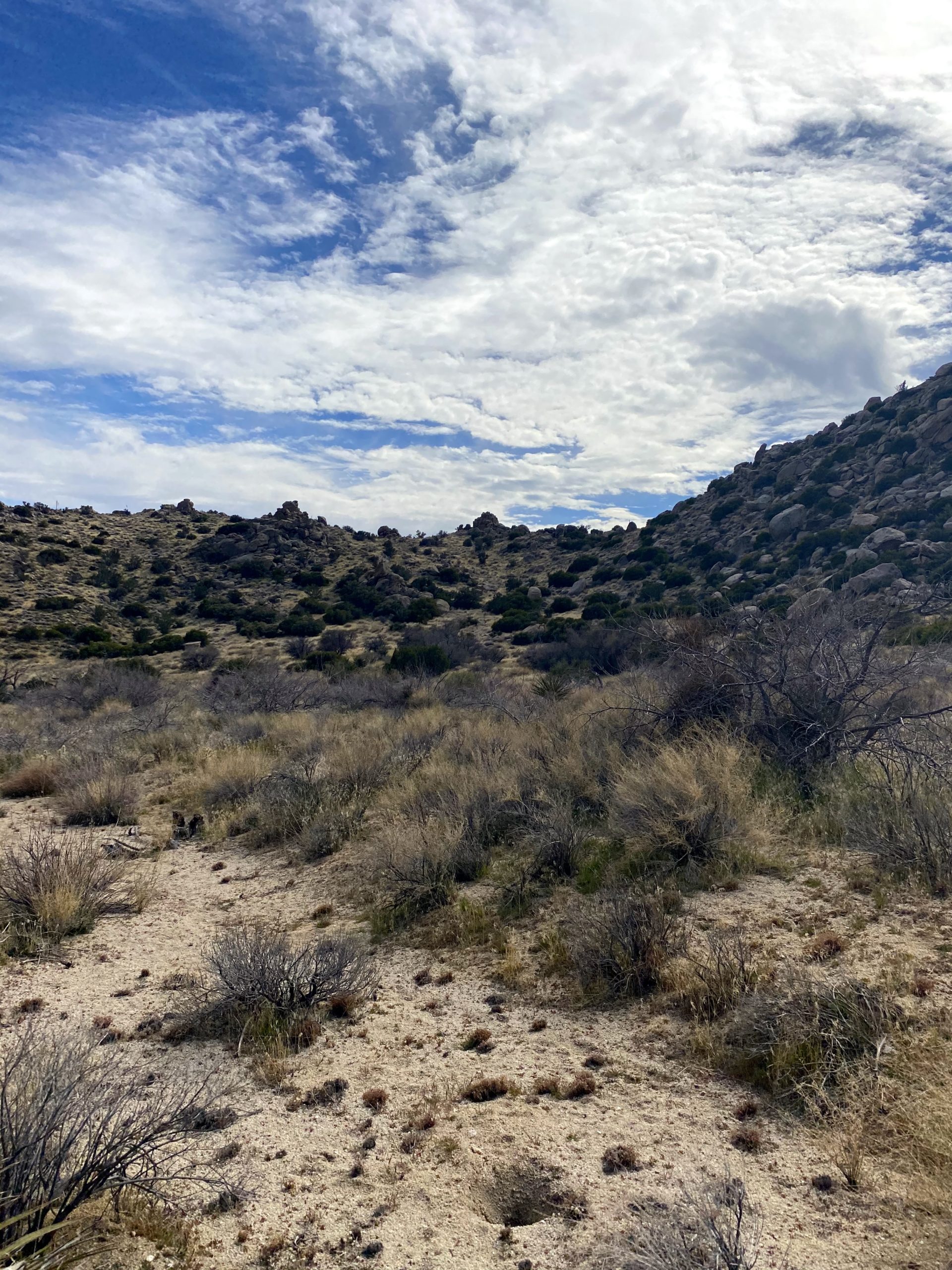
Since none of us needed to summit Goat Benchmark, we bypassed the side trip to it. We did stick to the south side of the gully to avoid the tough terrain Ted and I encountered during our trip in November. As we entered Hellhole Flat, we spotted 5 or 6 deer in the distance, Soon we found ourselves at the other edge of Hellhole Flat, and the start of the ascent to the peak. We took a nice break here before the 1,200 feet of climbing that stood before us. We worked our way up, taking a couple of small breaks to allow me to catch my breath. But soon, the summit came into view and a sense of happiness washed over me.
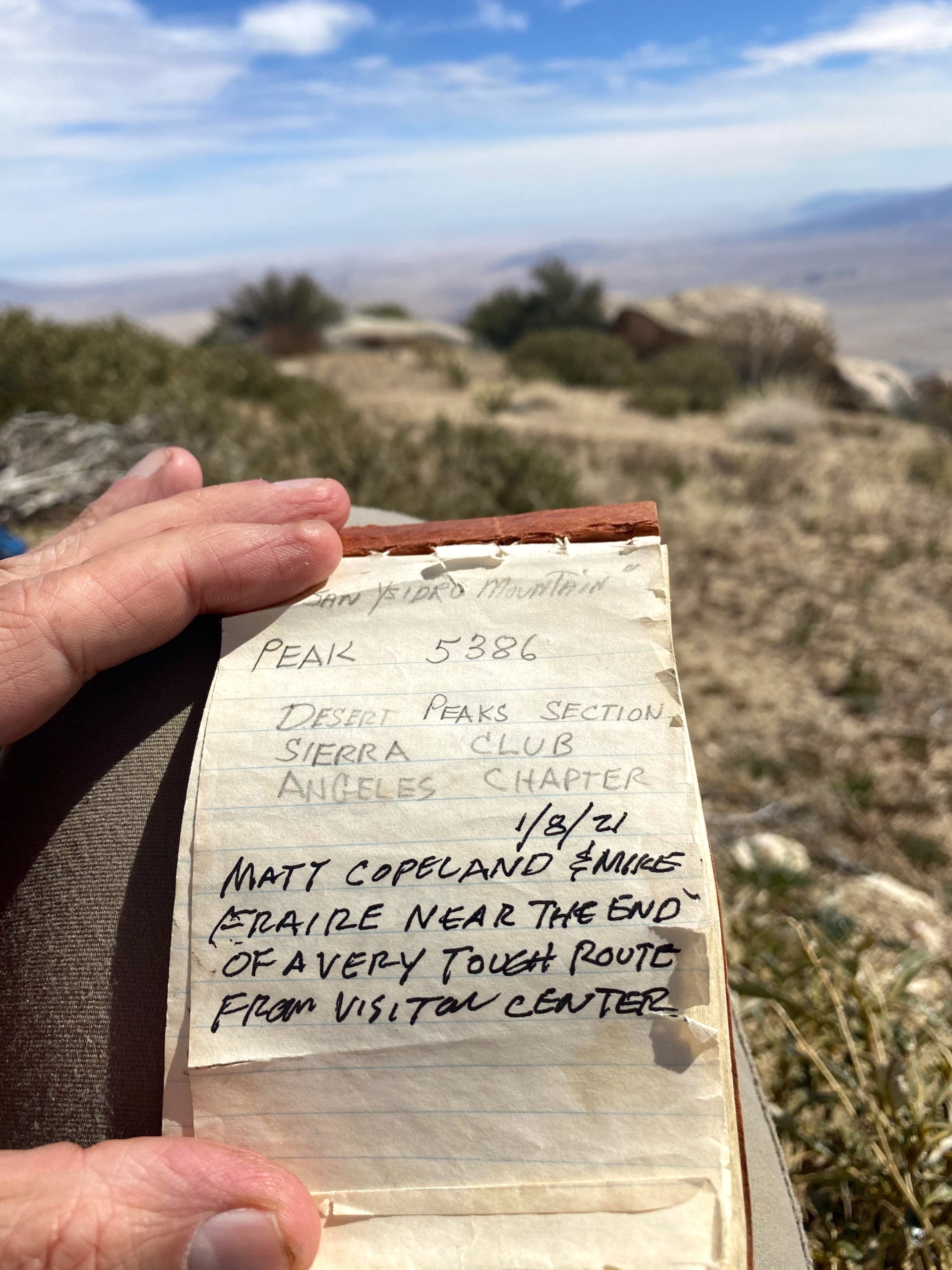
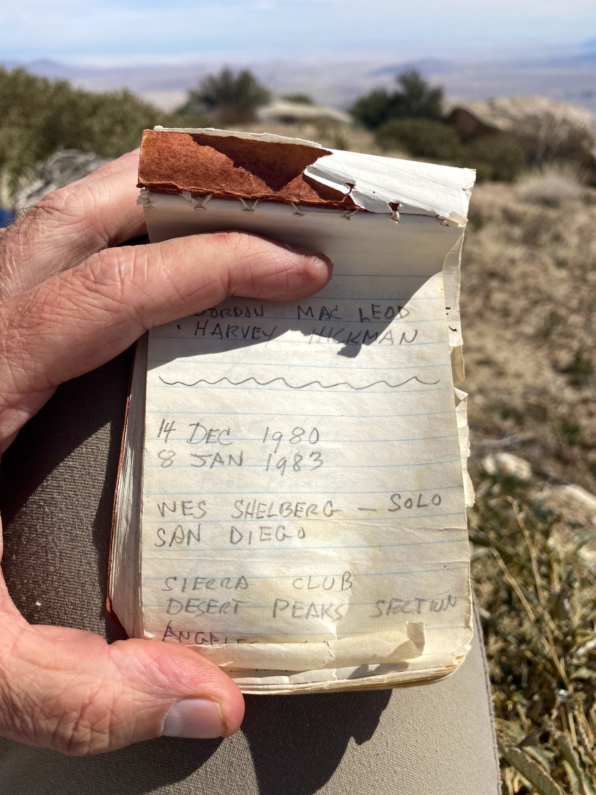
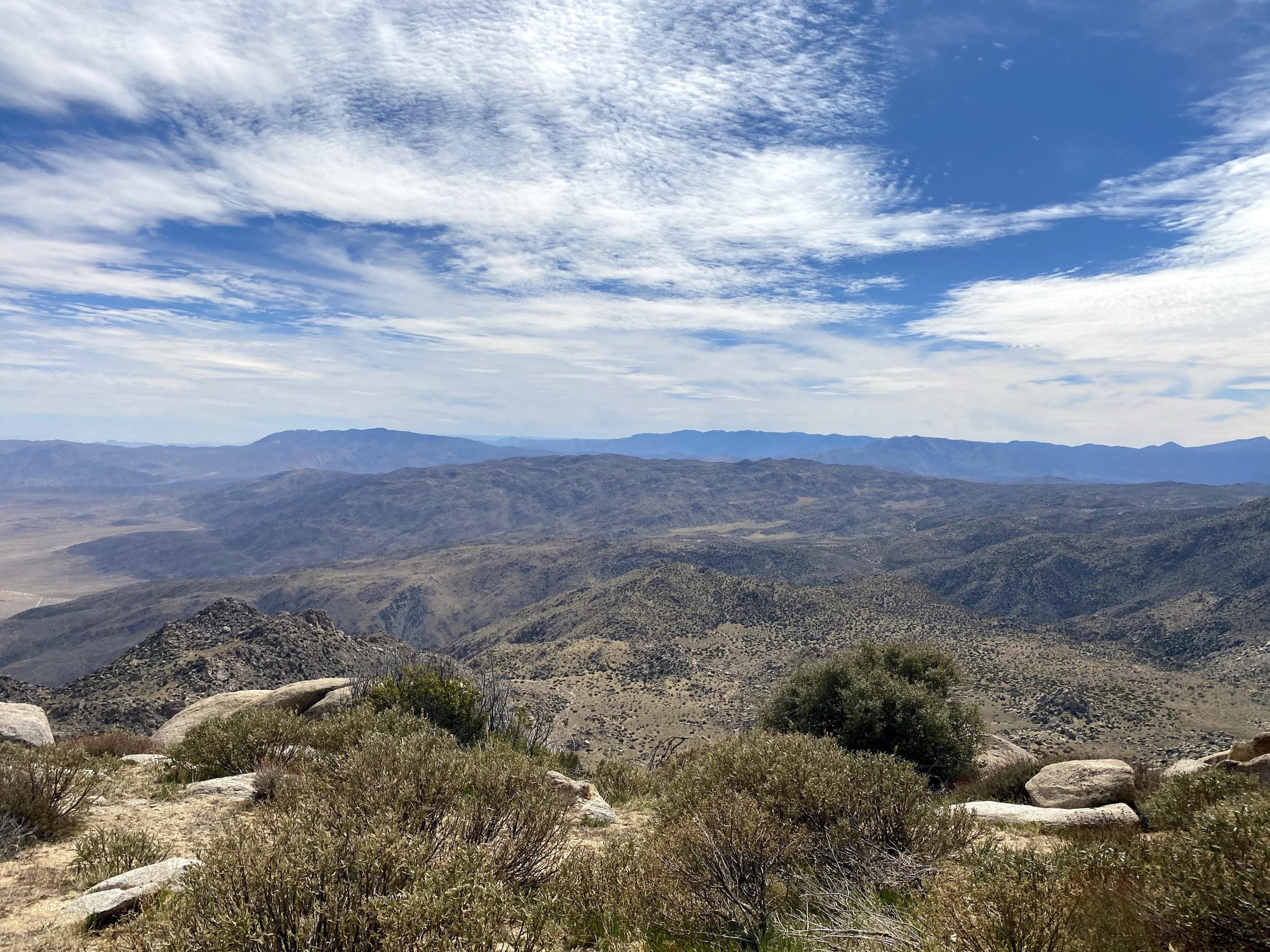

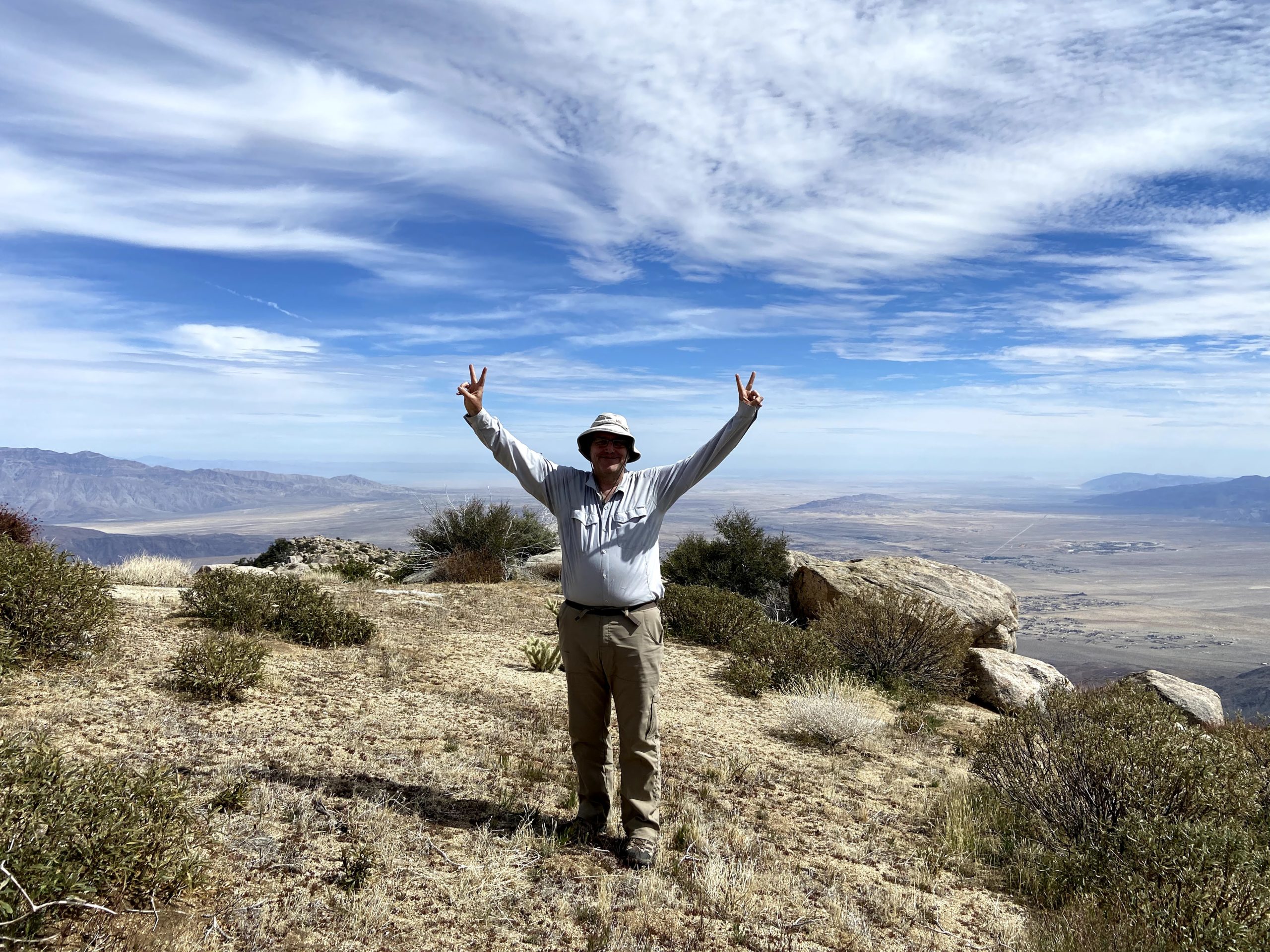
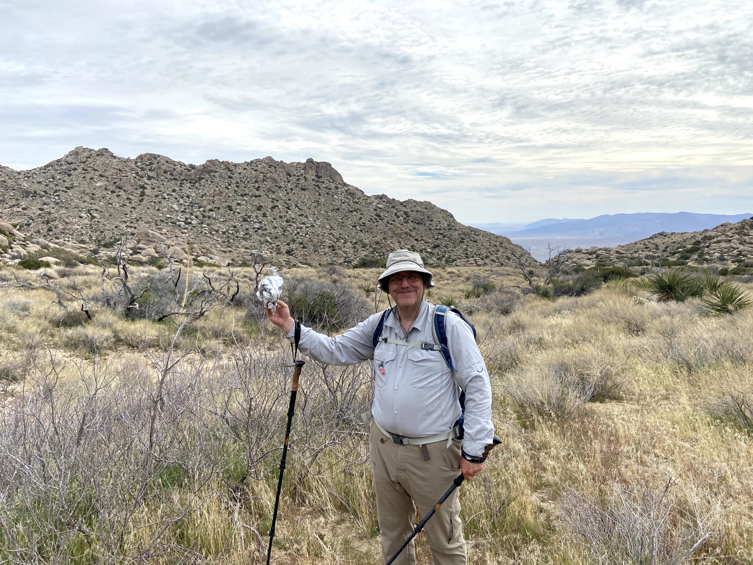
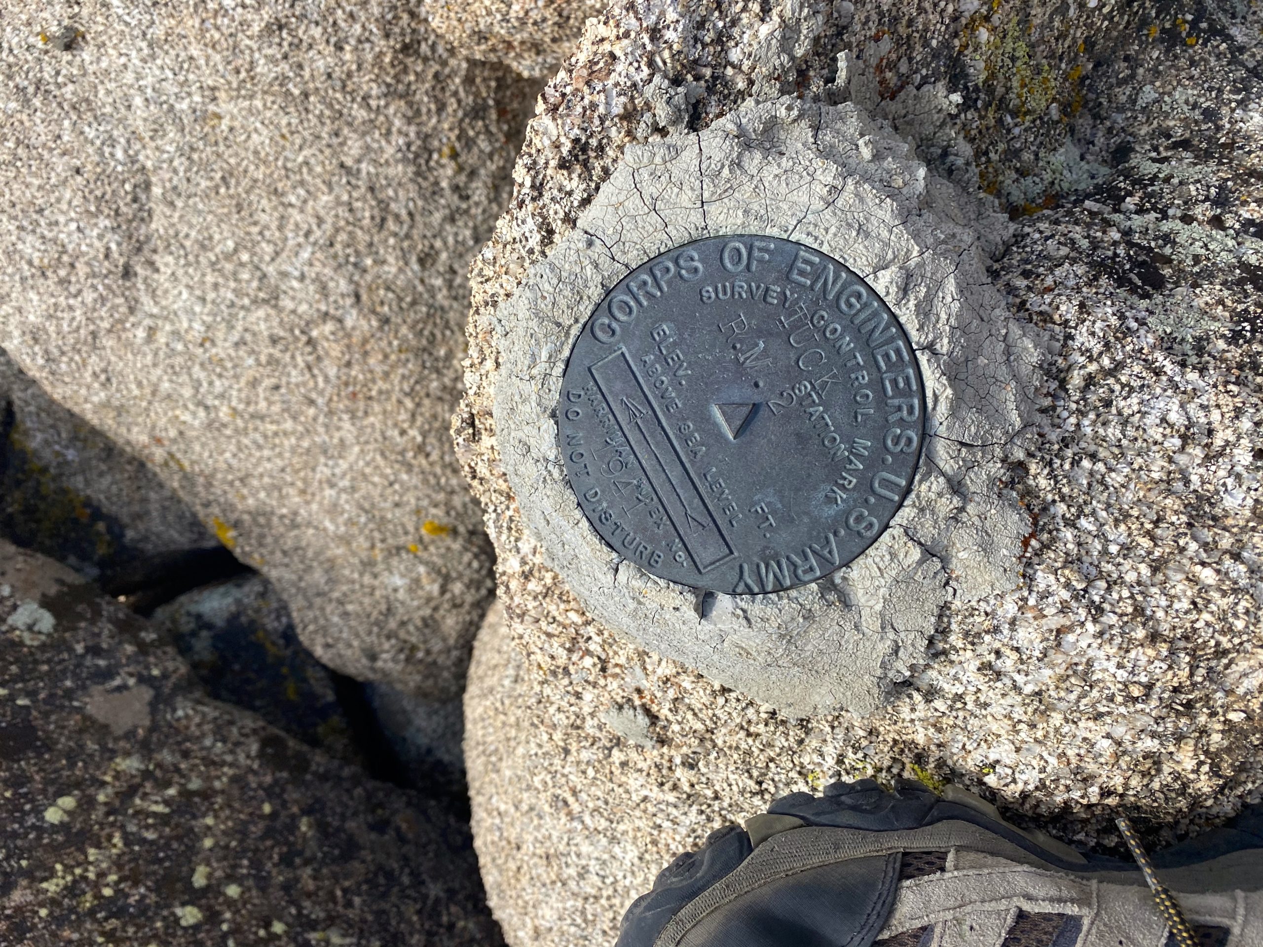
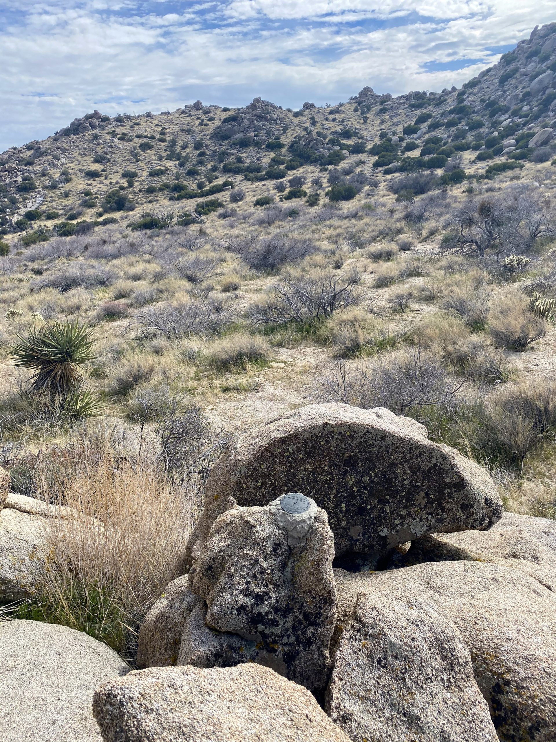
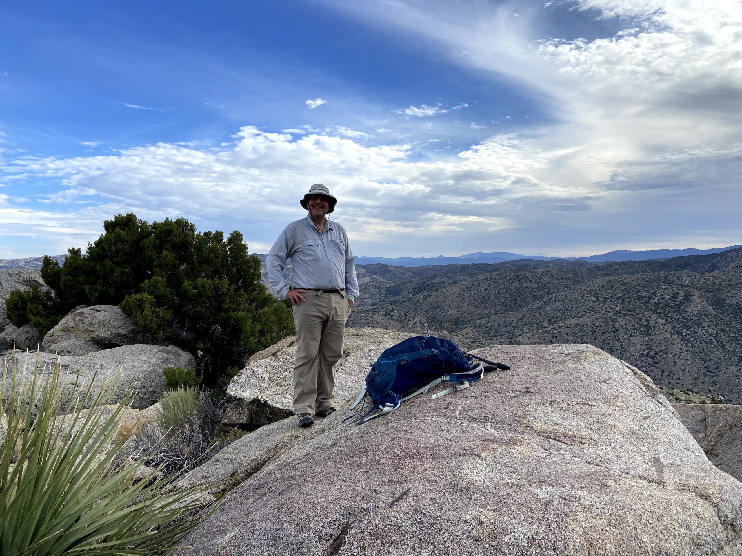
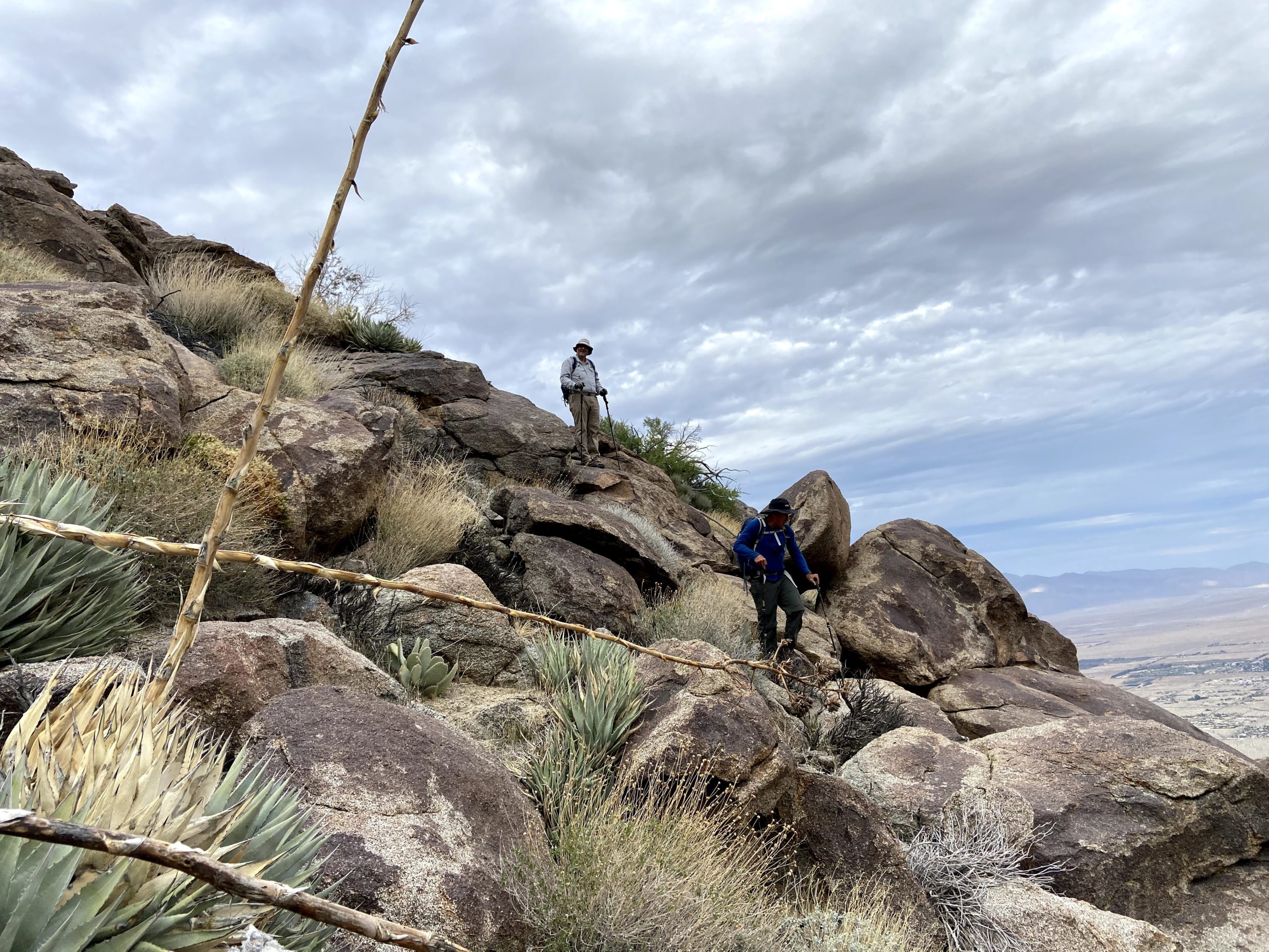
We had a nice break at the summit, signing the register, snapping our photos, and marveling at the views. We still had a lot of miles to cover and some serious elevation to descend to return to our waiting cars, though. While coming down from the peak, my right knee started to hurt, so I decided to not attempt The Sirens and rendezvous atop Webo. So I bid Greg and Ted good luck and scrambled back down onto Hellhole flat and headed south. My route was going to take me past Tuck Benchmark. This benchmark apparently is hard to locate, so I took up the challenge to see if I might have some luck. I knew from some reports that its location was slightly incorrect on Peakbagger and that it was located a bit to the east. Keeping my eye on my position, I knew I was close, so headed over to the nearby rocks, and climbed up a bit to see if I could spot it. Just 15 feet east of me, there it was! I snapped my photos, before continuing southward to Webo.
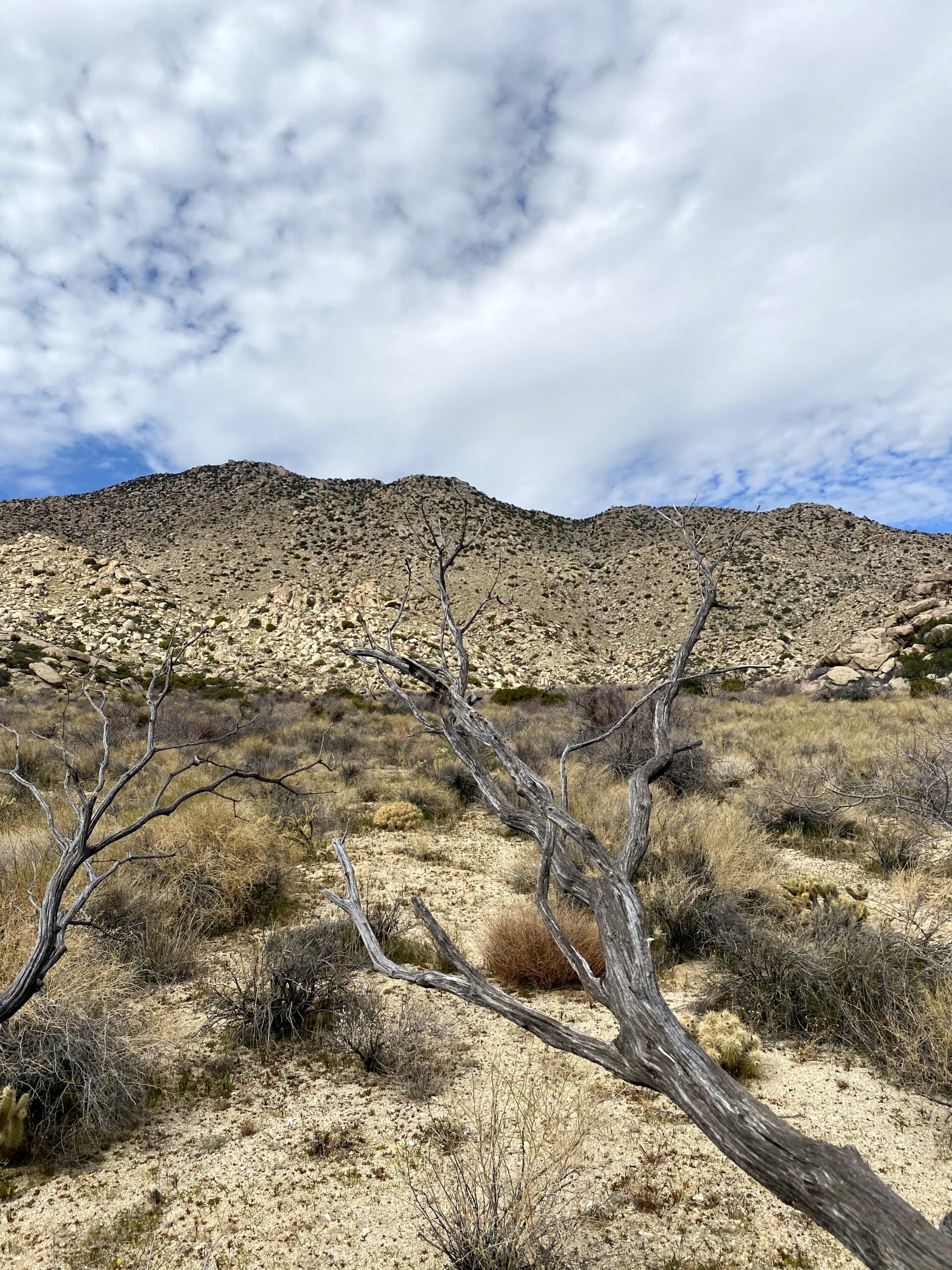
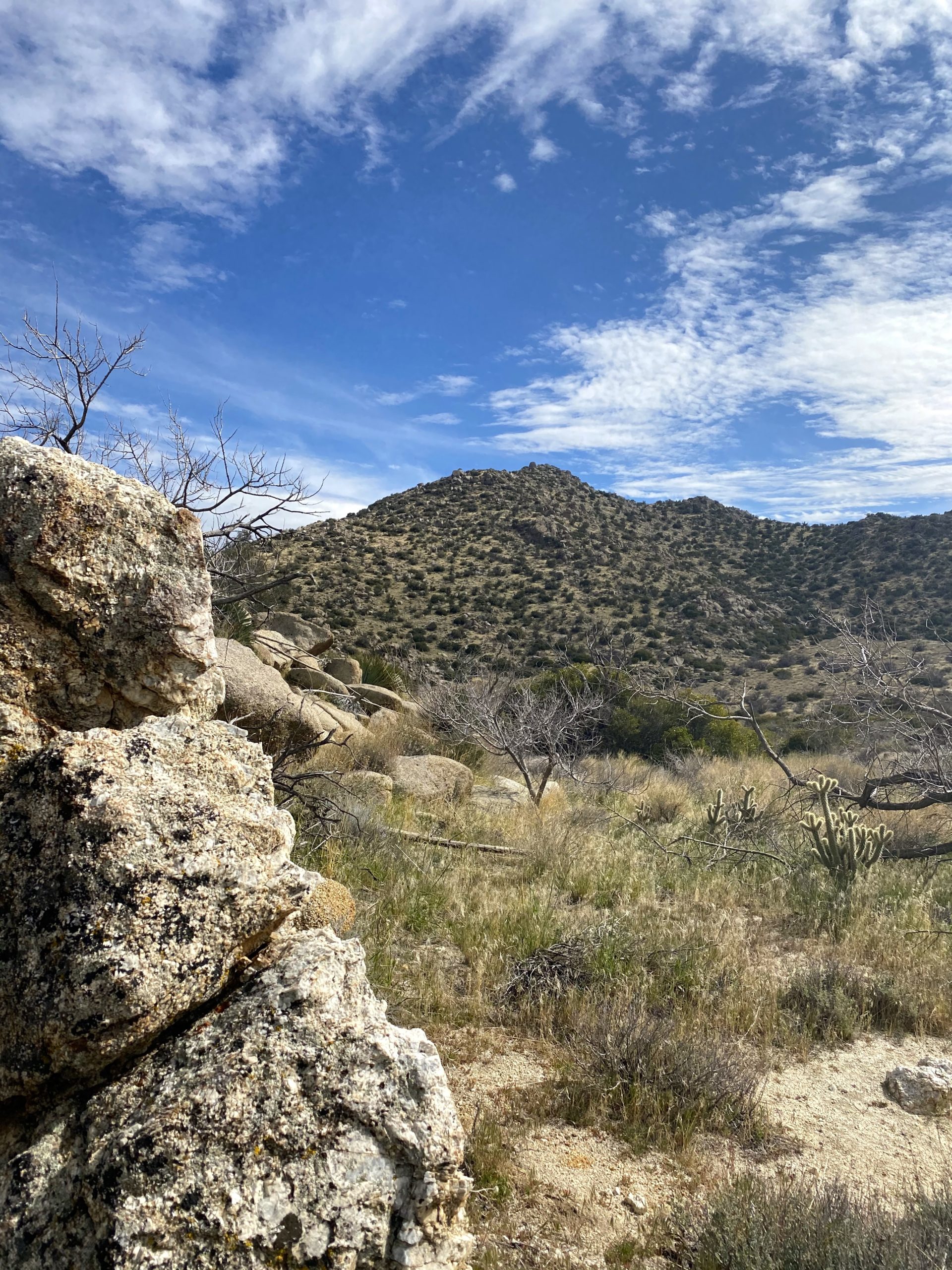
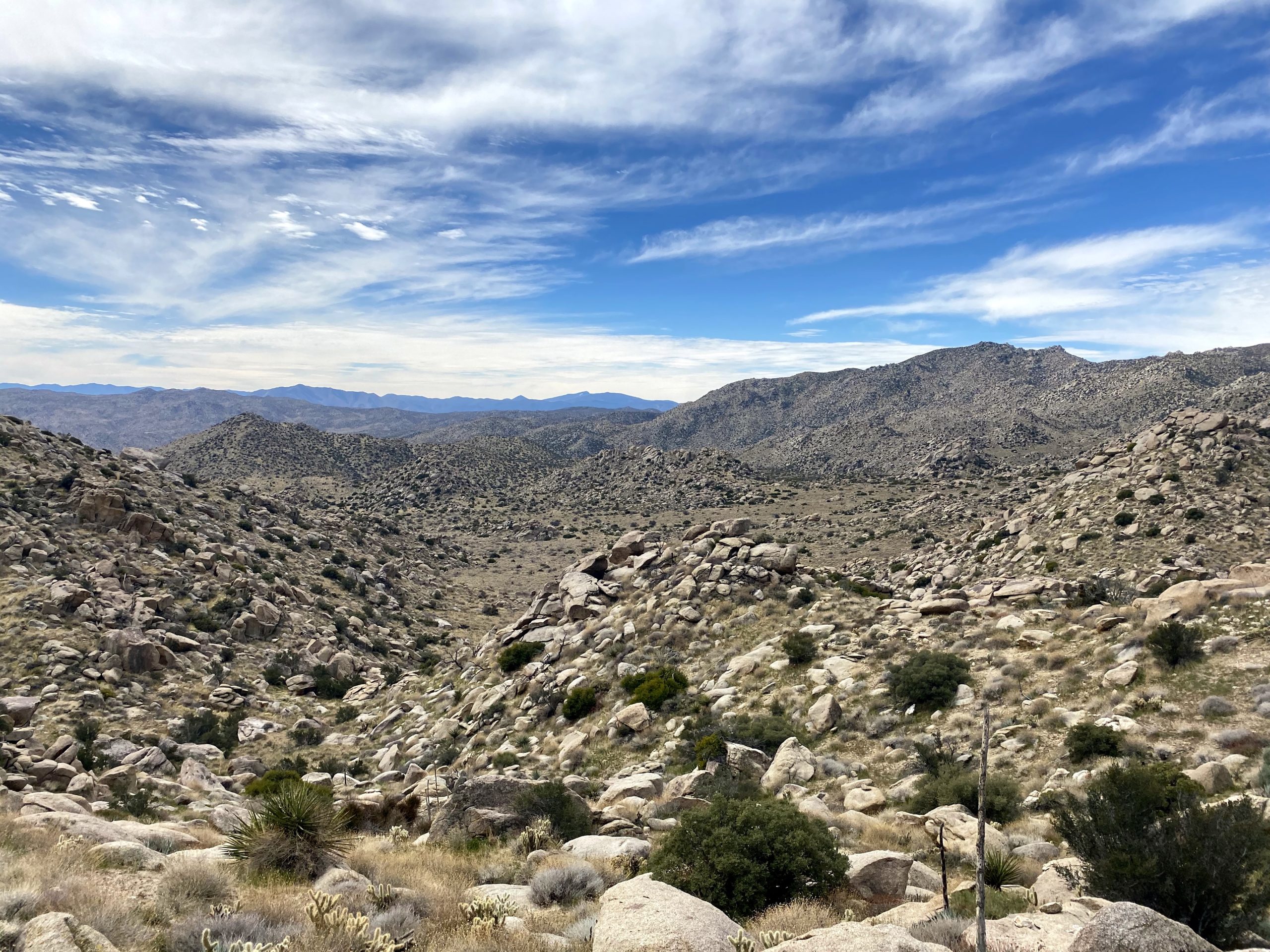
I could see Webo in the distance, but first I had a small ridge to cross. From the north, the slope was nice and grassy, but once at the top, I stared down at a steep rocky descent. Crud. I had to decide which way to deal with this ridge. I think either going all the way around it or the other gap to the west would be a better choice for future hikers.


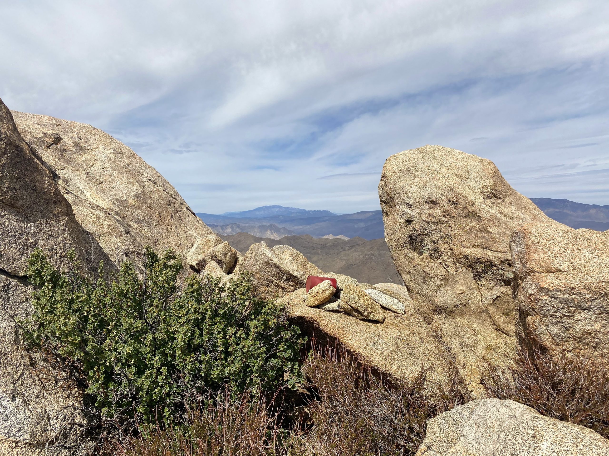
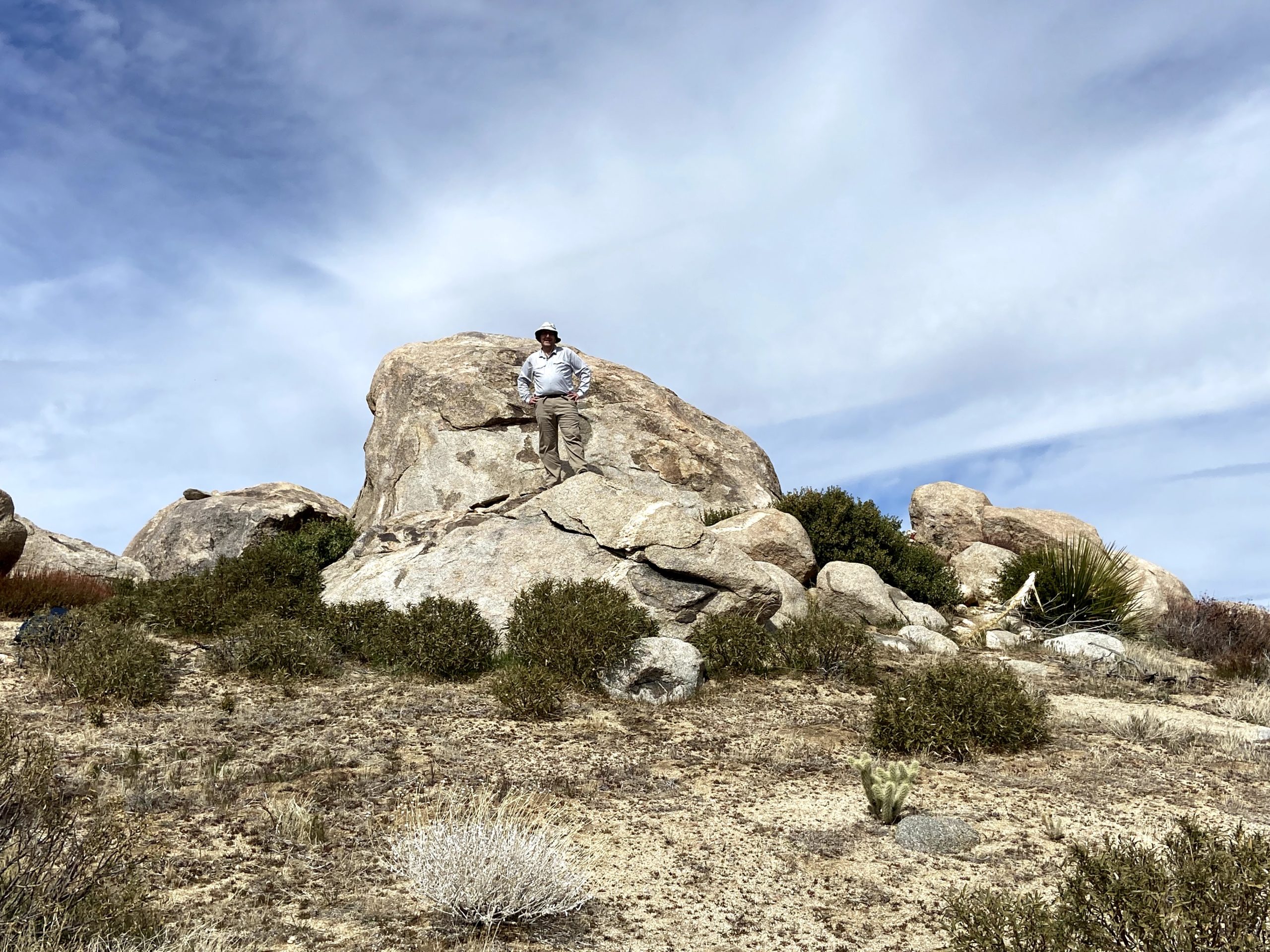
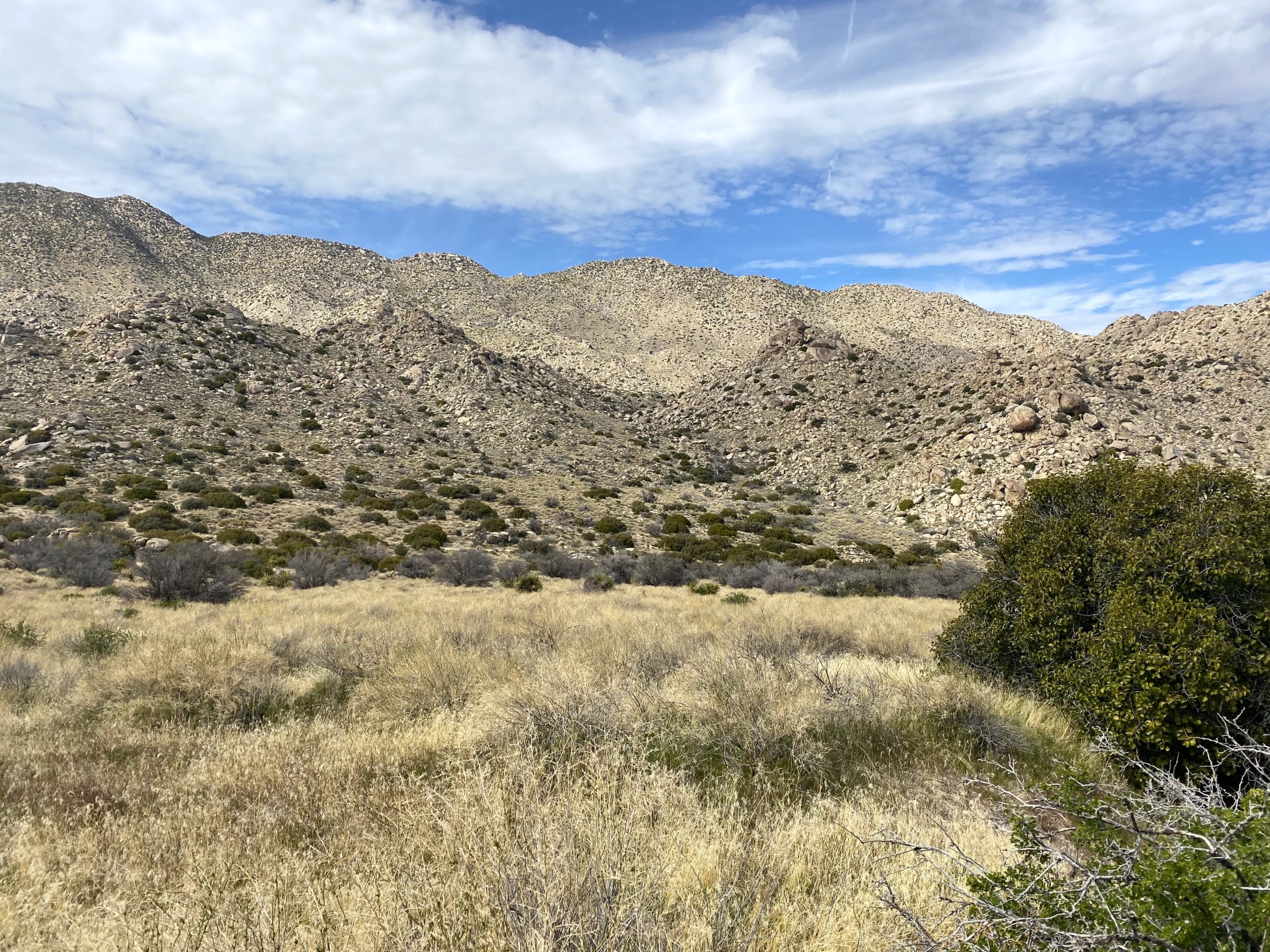
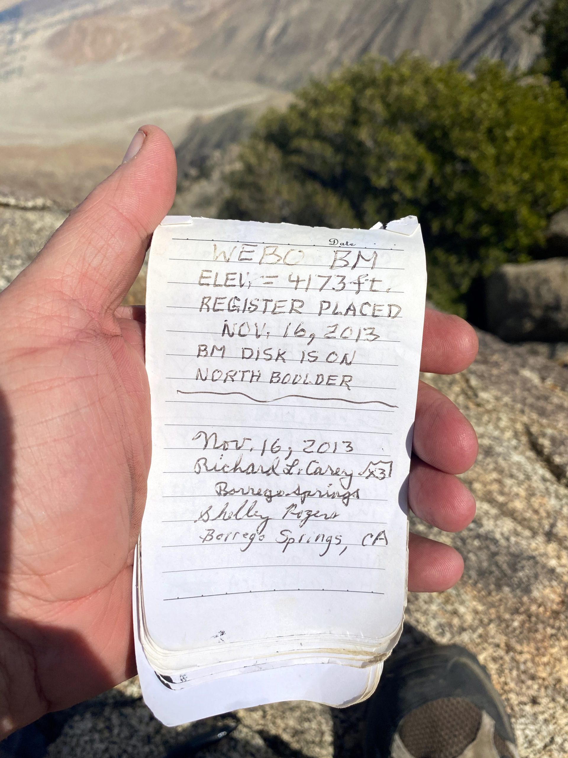
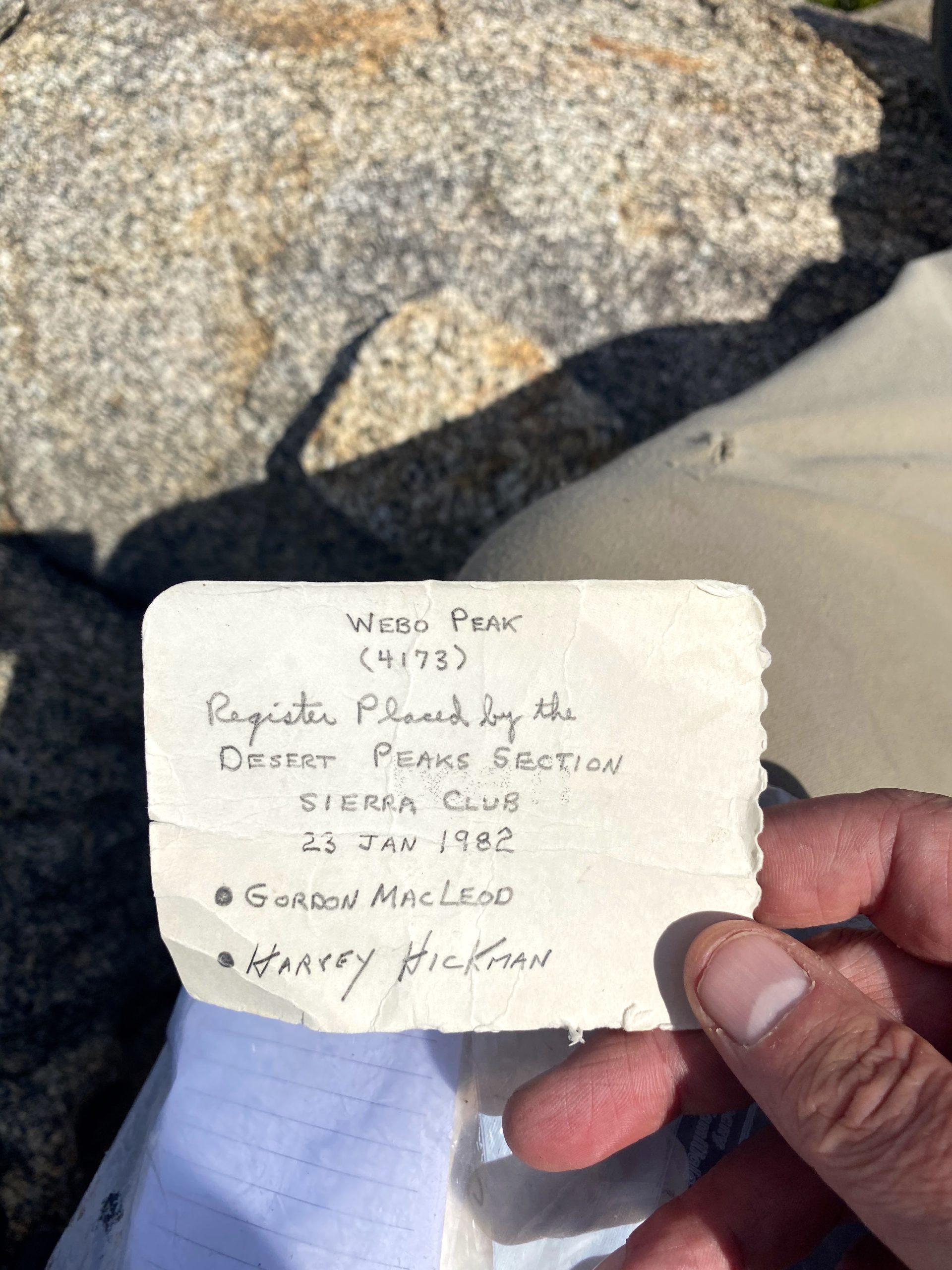
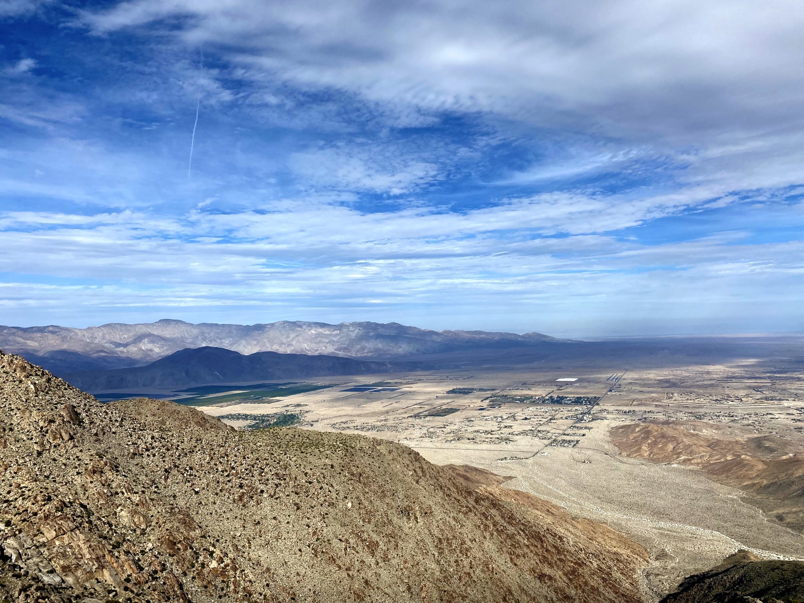
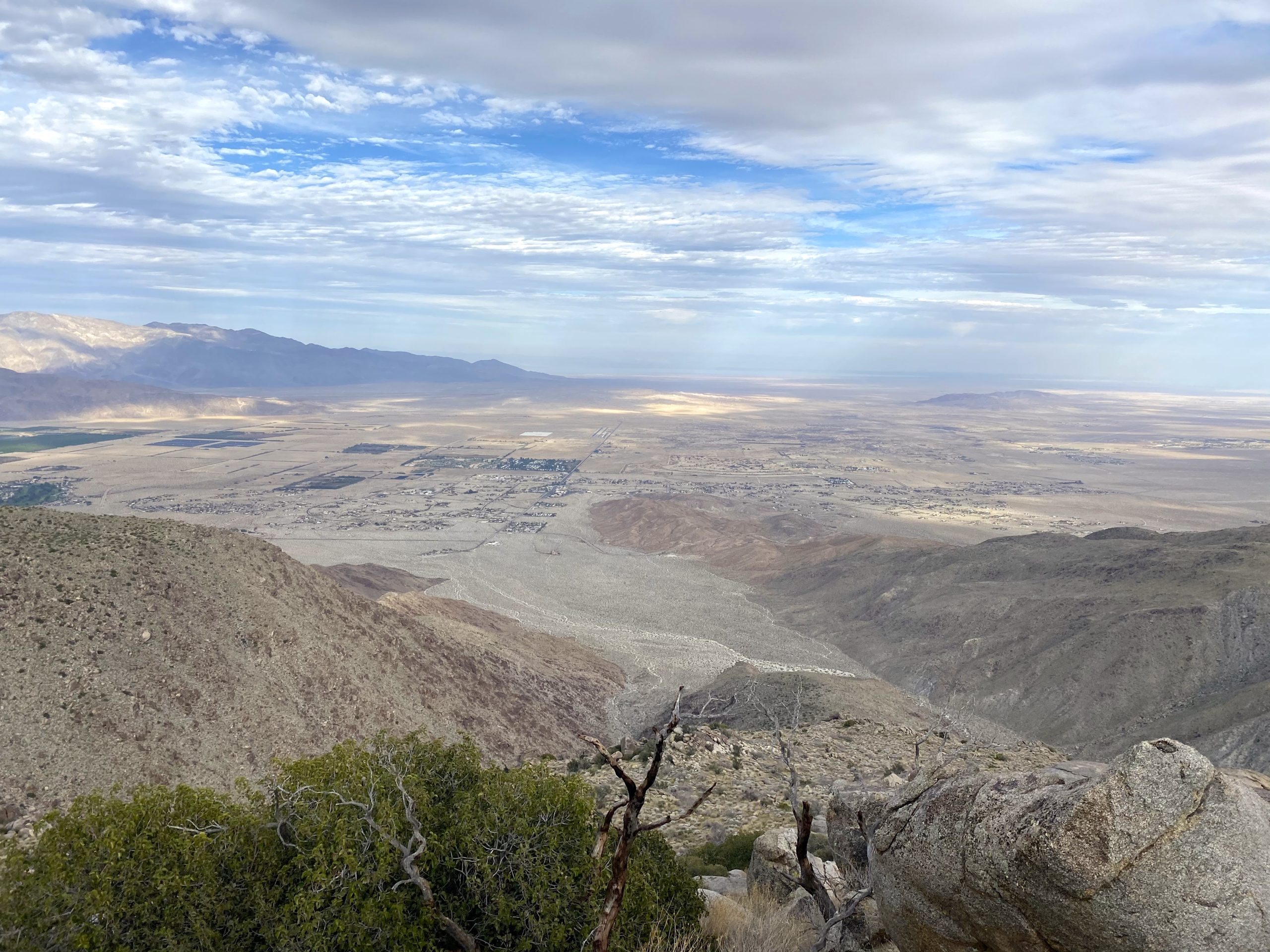
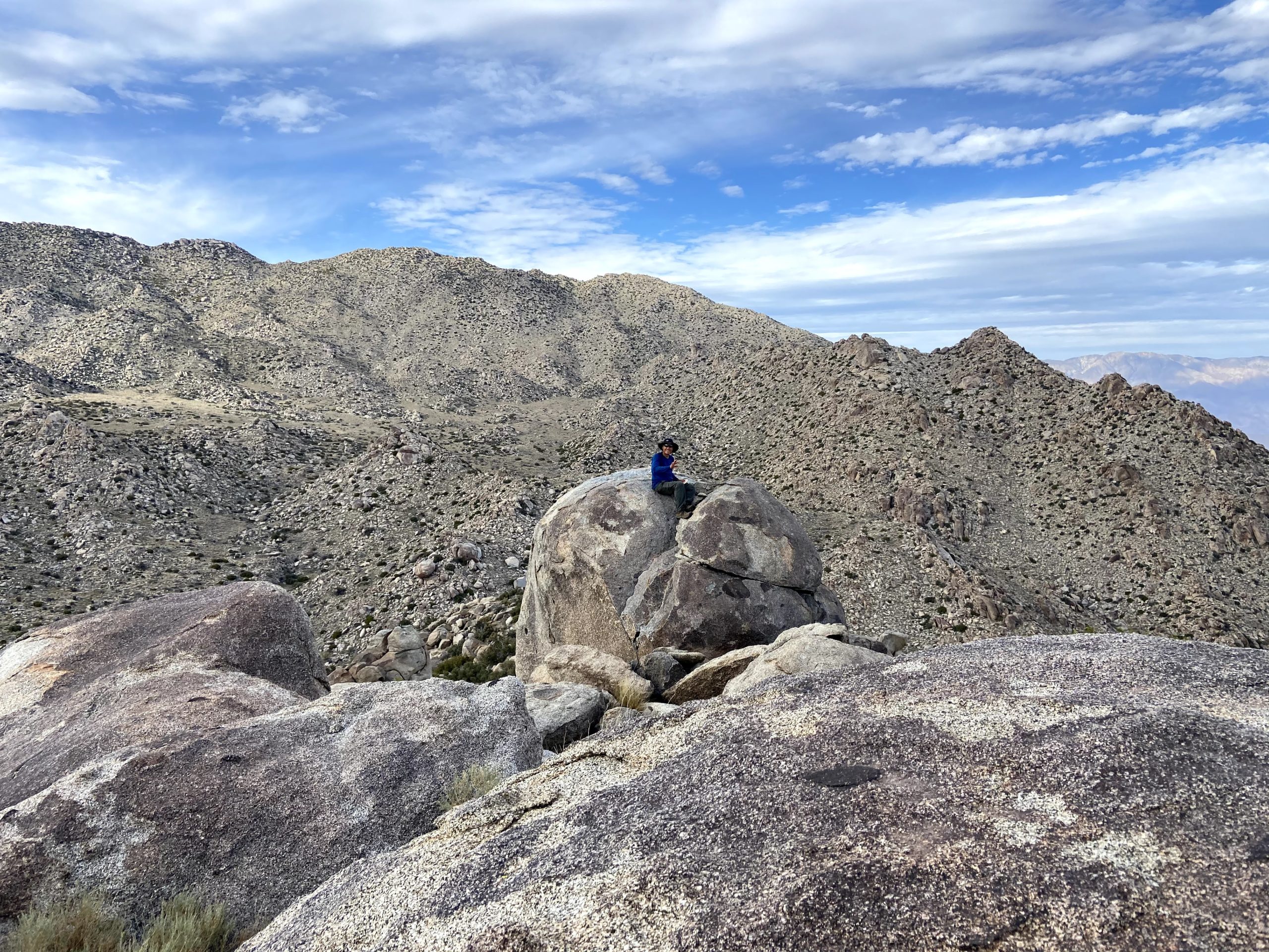
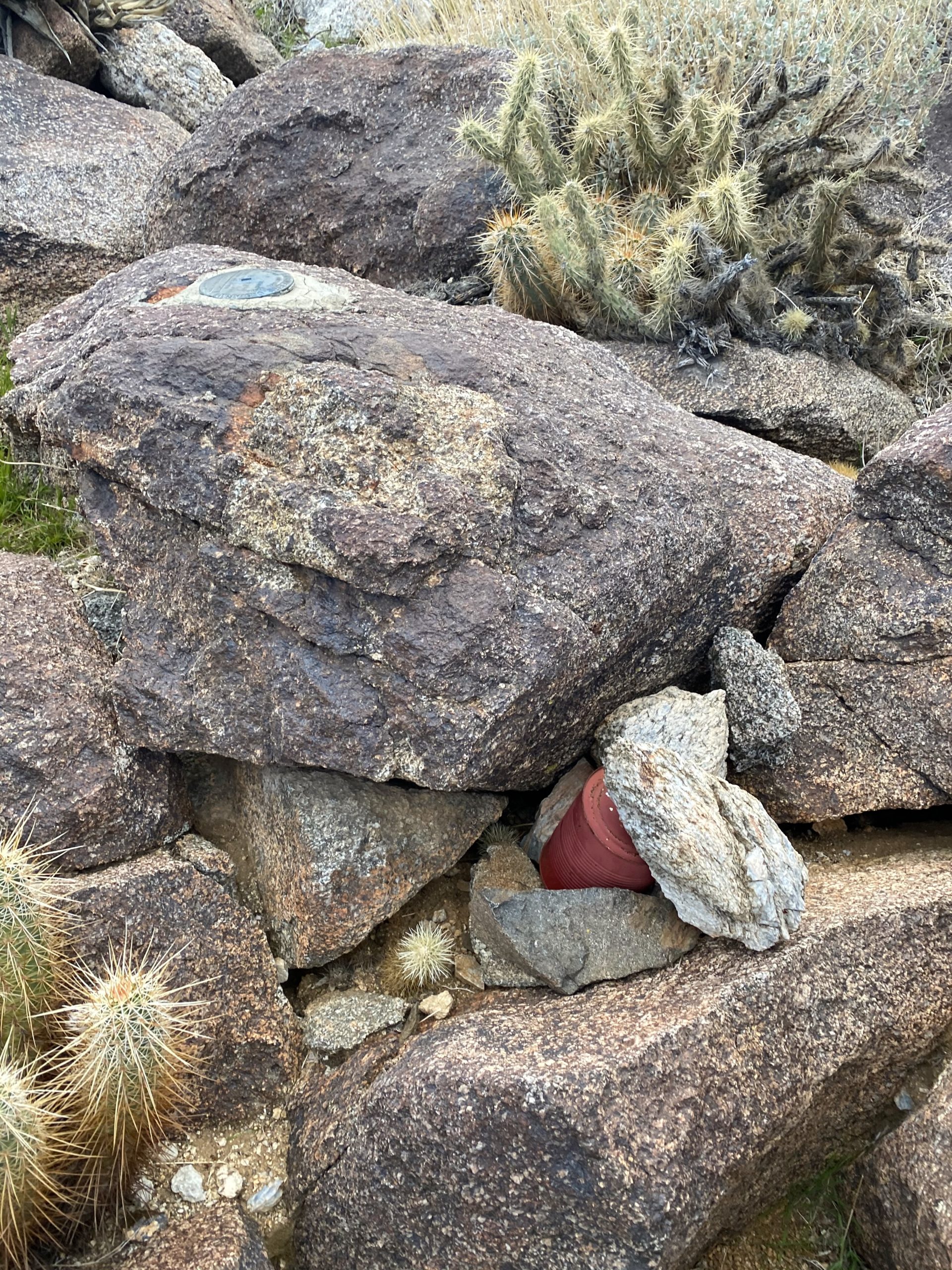
Once over this obstacle, I debated my route up toward Webo. Initially, we discussed taking the ridge that came from the west, as it looked fairly gentle. As I drew nearer, just going up the side and then turning east once at the ridge seemed ok. Since Greg and Ted were somewhere behind me, I could climb this at my own pace, and I found it not too bad of a climb. As I got closer to the summit, it became more bouldery, but I found a route up without issue. I knew the benchmark was on a boulder on the north side of the peak, so I aimed for that. I climbed up the boulder and found the register and the mark. I kept scanning to the north to see if I might spot Greg and Ted, but no luck. I found a nice spot to wait for them. After about 40 minutes, I heard my name and greeted Ted and Greg. Greg climbed up the boulder and added their names. Ted respectfully declined. We still had about 3.5 miles to go and about 3,200 feet to descend.
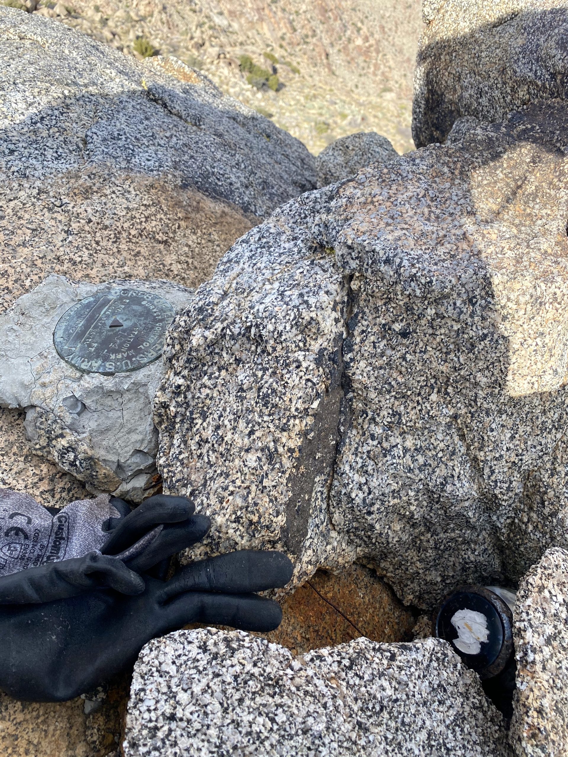

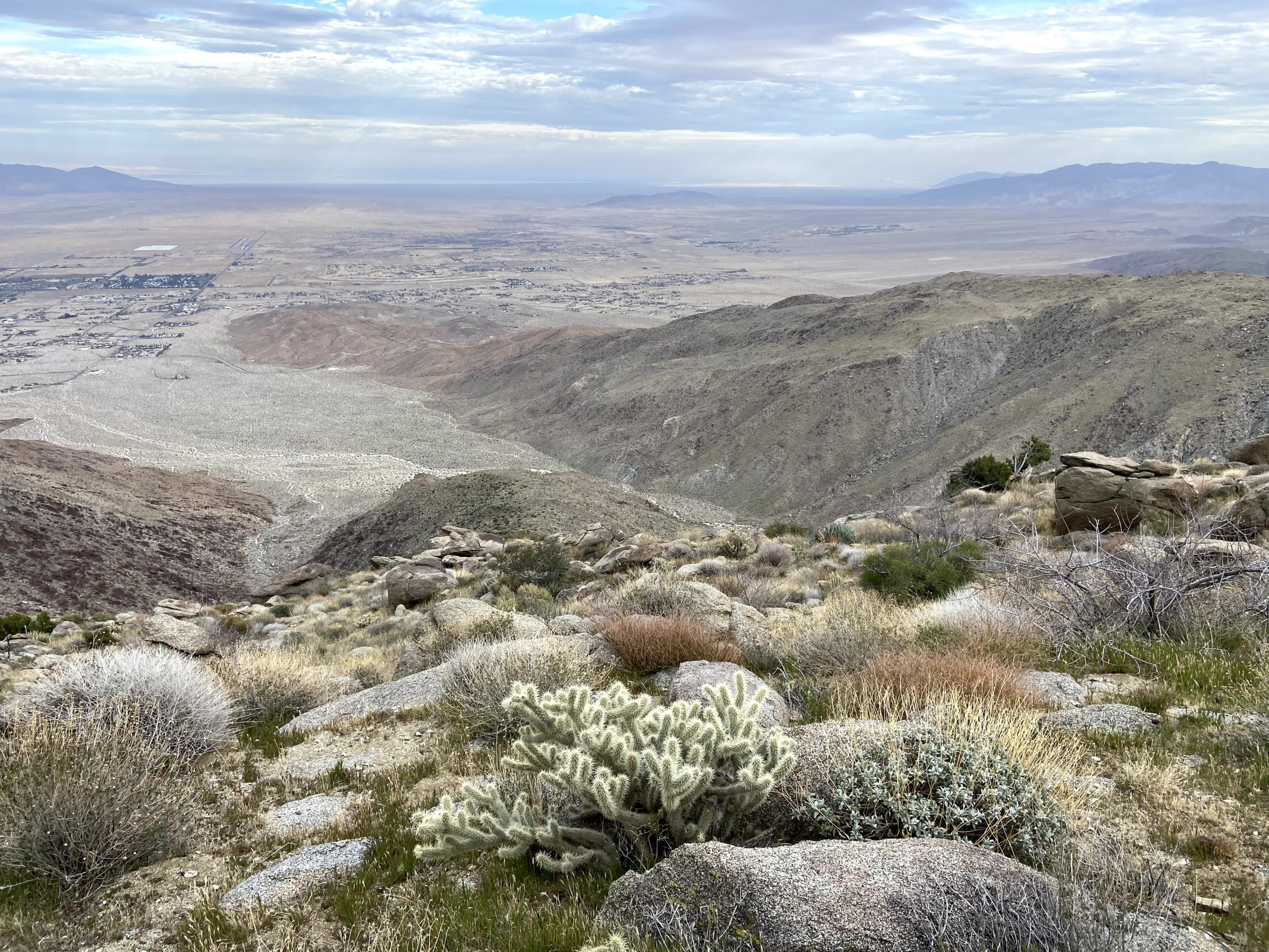
My knee was starting to become more painful as we worked our way down the ridge. It was steep but manageable. Ted kept an eye on our altitude, as Susie and I missed Ted Benchmark during our descent (we did find it on our ascent). As we neared the elevation for the benchmark, Greg began scouring ahead to locate it. He found it without issue. I took a quick photo, and let them sign me in. I knew my knee was only going to slow my descent, and the evening was drawing close. I kept pushing down the ridge, hoping that once we reached the desert floor, the pain would not be an issue, as we would still have over a mile back to the car. We literally stepped off the ridge just as the last light of day faded away. We weren’t worried about the dark as we had a very well-defined and traveled trail to guide us back. Once back at the car, we tossed in our gear and said our goodbyes. Greg was camping out to hike Blue Angel Peak the next day and Ted and I began the long drive home.


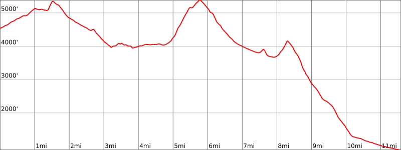
The final stats for my hike were 11.6 miles, with a mere 2,595 feet of gain and about 6,275 feet of loss. Here is a profile of my traverse.
This was my 98th peak. Since it looks like we might have some weather this week, I have a nice excuse to let my knee recover.


I am an avid peak bagger, sometimes backpacker, and former sea kayaker living in San Diego. I am the co-author of Urban Trails: San Diego, available now!
In 2019, I became the third person to complete the San Diego 100 Peak Challenge. Not stopping with that accomplishment, I set my sights on the harder San Diego Sierra Club 100 Peak list, which I completed in 2021. In addition, I have conquered several Six-Pack of Peaks challenges (SoCal, San Diego, Central Coast, and both the Arizona-Winter and Arizona-Summer).
I am looking forward to exploring new summits and new adventures across the southwest.
2 thoughts on “San Ysidro East Peak”