When I was backpacking along the Desert Divide section of the PCT, I was able to “side quest” and climb a few of the HPS peaks that lay near the trail. However, there were a couple that I skipped for various reasons. So, today I decided to head back and cross one of them off the list. I settled on Spitler Peak as the day’s goal. I turned off Highway 74 and on Fobes Ranch Road. The road had recently been graded, but I still had to be a bit mindful, and avoid a few rocks from time to time. I came to a locked gate after about 3.5 miles of driving. Just before the gate was a wide spot to park. According to the map, this is where the road used to go, but it is now blocked by large rocks.


I gathered my gear, remembered to put up my sunshade, and set off along the abandoned road. After about 1/2 mile, the road ended, and the actual trail took over. My route would now climb toward Fobes Saddle, where I would rejoin the PCT. The trail was in pretty good condition. There were a couple of turns that were slightly confusing, so I built some cairns to help guide others.


Once at the saddle, I turned northward to continue the climb toward Spitler Peak. As I made my way along the trail, it was certainly easier without my full backpack, having already hiked about 16 miles. The peak came into view, and I began looking for cairns that might indicate a route up its steep slope. I didn’t remember seeing any when I passed by it last time, and that still held true this time. So, I looked for a clear, straightforward path to get started on the ascent. When I say steep, I mean like 30-50% slope! I kept pushing on, knowing the summit wasn’t actually that far off the trail. I checked my position and adjusted my ascent route slightly to reach the proper summit. Once at the summit, I slipped off my pack and took in the views. During the ascent, my left calf began to ache, so I mixed up some electrolytes to see if that might help. After a snack, some more photos, I signed the register and headed back down.


Back on the PCT, I retraced my route back to Fobes Saddle. Along the way, I enjoyed the wildflowers that still dotted the sides of the trail. At the saddle, there was a box marked “trail magic”; it was actually filled with trash from thru-hikers. I gathered some up and stuffed them into my pack to haul out. My calf continued to ache, but I managed to keep hiking down the trail. When I was back on the abandoned road, I spotted a gopher snake in the shade, but upon looking closer, I saw that a smaller rattlesnake had attacked it and was latched onto it. As I gave it a wide berth, I wondered how that tiny rattler was going to handle much larger prey?


The day had warmed up, and the breeze usually kept it pleasant, but as the car came back into view, I was glad to be done. My calf was certainly going to need some attention once I got home, but first, I had to hit Paradise Valley Café for a well-earned lunch. The final stats for the hike were 7.5 miles in 4:22 with 2,294 feet of gain.
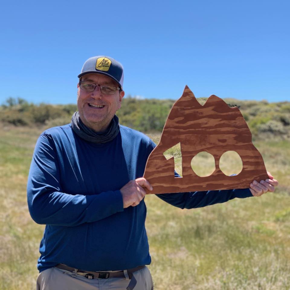

I am an avid peak bagger, sometimes backpacker, and former sea kayaker living in San Diego. I co-authored Urban Trails: San Diego, available now!
In 2019, I became the third person to complete the San Diego 100 Peak Challenge. Not stopping with that accomplishment, I set my sights on the harder San Diego Sierra Club 100 Peak list, which I completed in 2021. I’ve also conquered several Six-Pack of Peaks challenges (SoCal, San Diego, Central Coast, and both the Arizona-Winter and Arizona-Summer).
I look forward to exploring new summits and adventures across the Southwest.