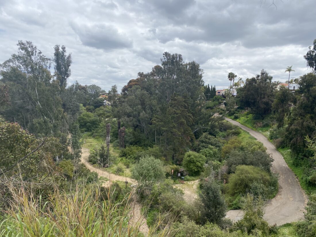
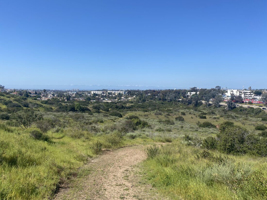
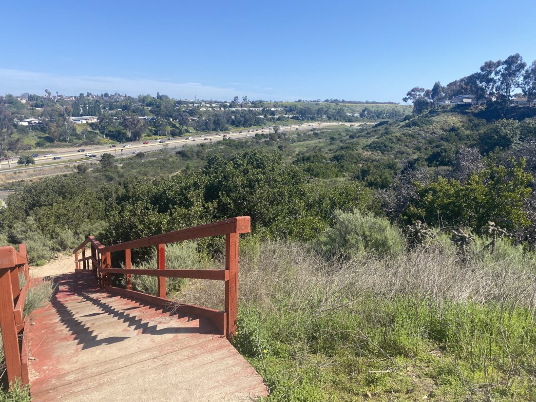
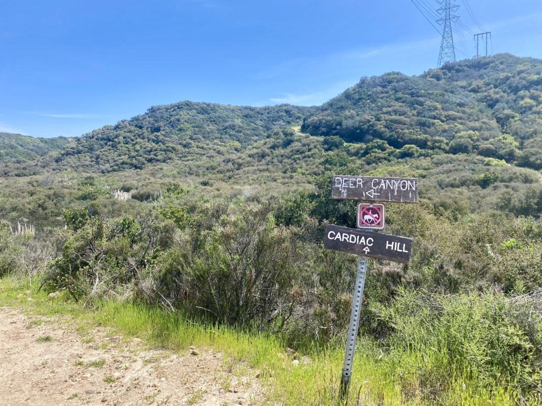
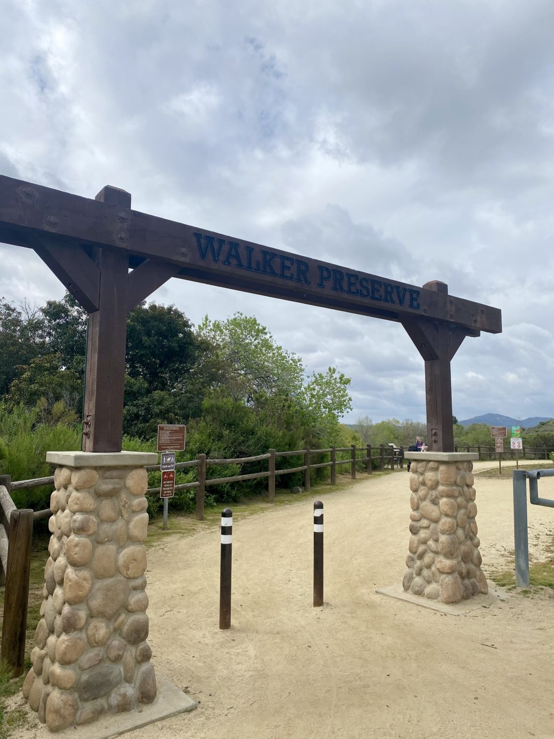
I found parking at the end of the cul-de-sac under the shade of a tree. Since I normally don’t hike in the mid-afternoon, I had to stop and think about wanting the car to stay cool for my return. When hitting the trailheads in the early morning, that isn’t usually the first thing you think about. I wanted to get out on the trails one more time before I headed into the hospital to have surgery to fuse two of the vertebrae in my neck. So, why not take a stroll through Del Mar Mesa Preserve? We have had some rain recently, and the vernal pools might be filled. I passed the gate and headed south toward the signboard. A notice cautioned users of the preserve not to disturb the pools on the mesa. I started down the service road for the power lines. Off to the west, shimmering in the afternoon light, was one of the catch ponds for Deer Canyon Creek. As I neared the bottom of the canyon, the trail split. Straight ahead, the service road continued up the canyon and is affectionately known as “Cardiac Hill”. To the left, a trail would follow the side of the canyon until it reached “Tunnel #4”. Being midday on a Wednesday, I did not expect to encounter many, if any, mountain bikers, as this is a popular place for them to ride. The trail followed the side of the canyon for a bit until it dipped down and crossed the flowing steam. Once safely across, I was about to start hiking through Tunnel #4. A sign cautioned hikers to be aware of bikers coming down the trail. I don’t hike with headphones, but if one does, this would be where you put them away and keep your ears open.
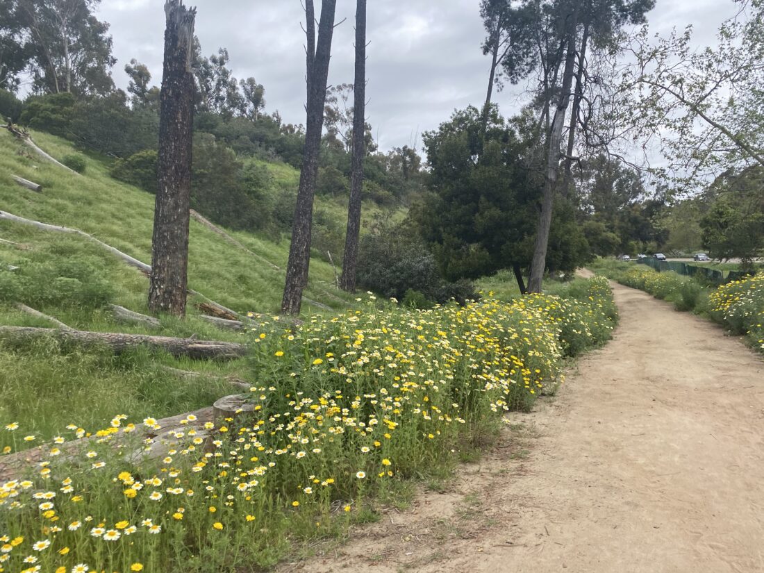
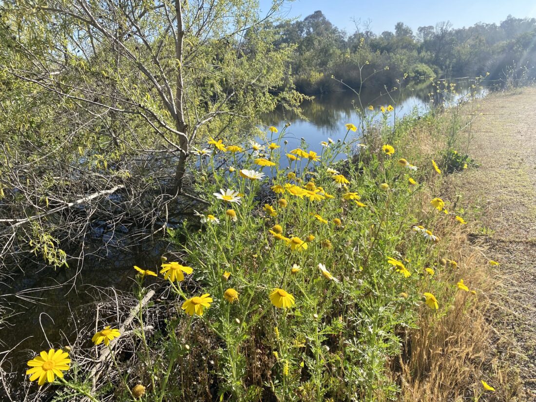
The trees formed a lovely shaded canopy over most of the trail. It doesn’t take long to figure out how this section of trail got its name. The trail works its way up a side canyon toward the mesa at a much gentler grade than Cardiac Hill. Finally, you break from under the cover of the canopy and stand atop Del Mar Mesa. Before me stood a grove of eucalyptus trees. If you have ever driven on Hwy. 56 near Camino Del Sur, and saw some trees clustered together off to the south, these are those trees. I took a quick water break and looked around. Off to the east, the preserve is completely closed to protect the habitat back there. So, I followed the trail to the west, and there I saw my first of several vernal pools. The water was the color of my wife’s coffee after she put her creamer in, but darting around were tadpoles! I watched them for a bit before heading on.
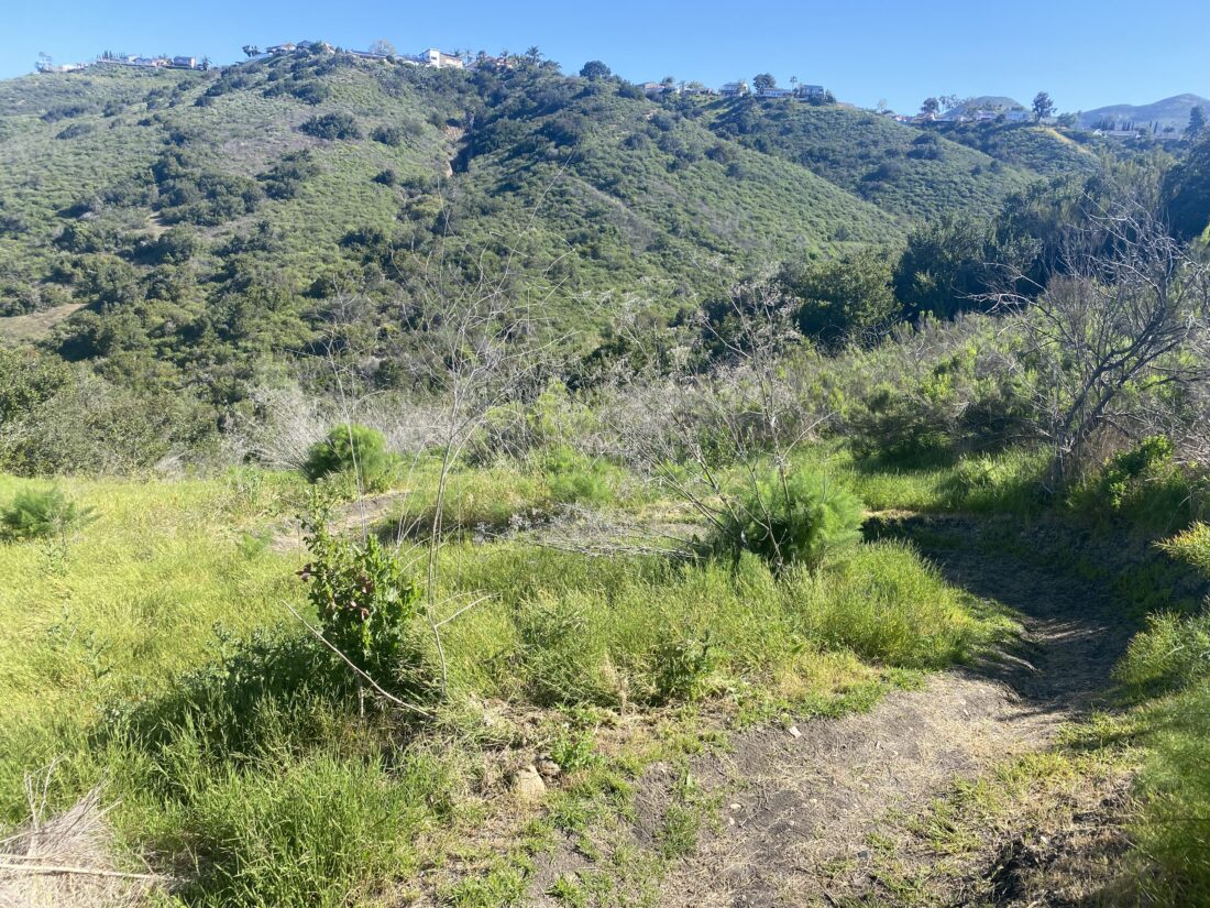
I came to a junction. The trail heading west is probably the entrance route we will recommend in the book, as there is a park nearby for water and restrooms, as opposed to starting from where I did. The other trail leads back across the mesa, then down Cardiac Hill. As I headed northward, I passed several more pools that almost filled the service road, but there was enough room to the side to properly pass them. I worked my way down the hill until I again reached the stream I had to cross. This time the gap was a bit wider. I made it partway across, but the front of my left shoe did get a little soaked. I followed the service road back up to where I started and called it a wonderful day on the trails.
Update: The surgery went great and should be back on the trails in a month or two!
I am an avid peak bagger, sometimes backpacker, and former sea kayaker living in San Diego. I am the co-author of Urban Trails: San Diego, coming in Spring 2026!
In 2019, I became the third person to complete the San Diego 100 Peak Challenge. Not stopping with that accomplishment, I set my sights on the harder San Diego Sierra Club 100 Peak list, which I completed in 2021. In addition, I have conquered several Six-Pack of Peaks challenges (SoCal, San Diego, Central Coast, and both the Arizona-Winter and Arizona-Summer). I am looking forward to exploring new summits and new adventures across the southwest.