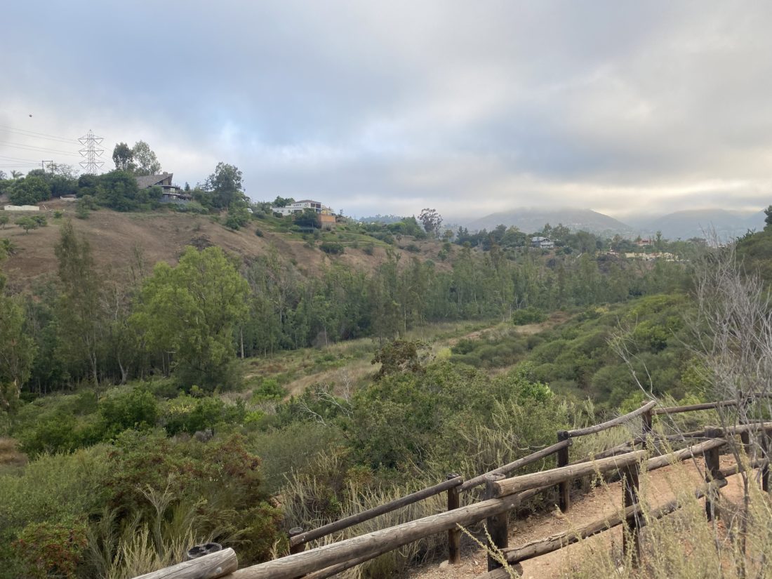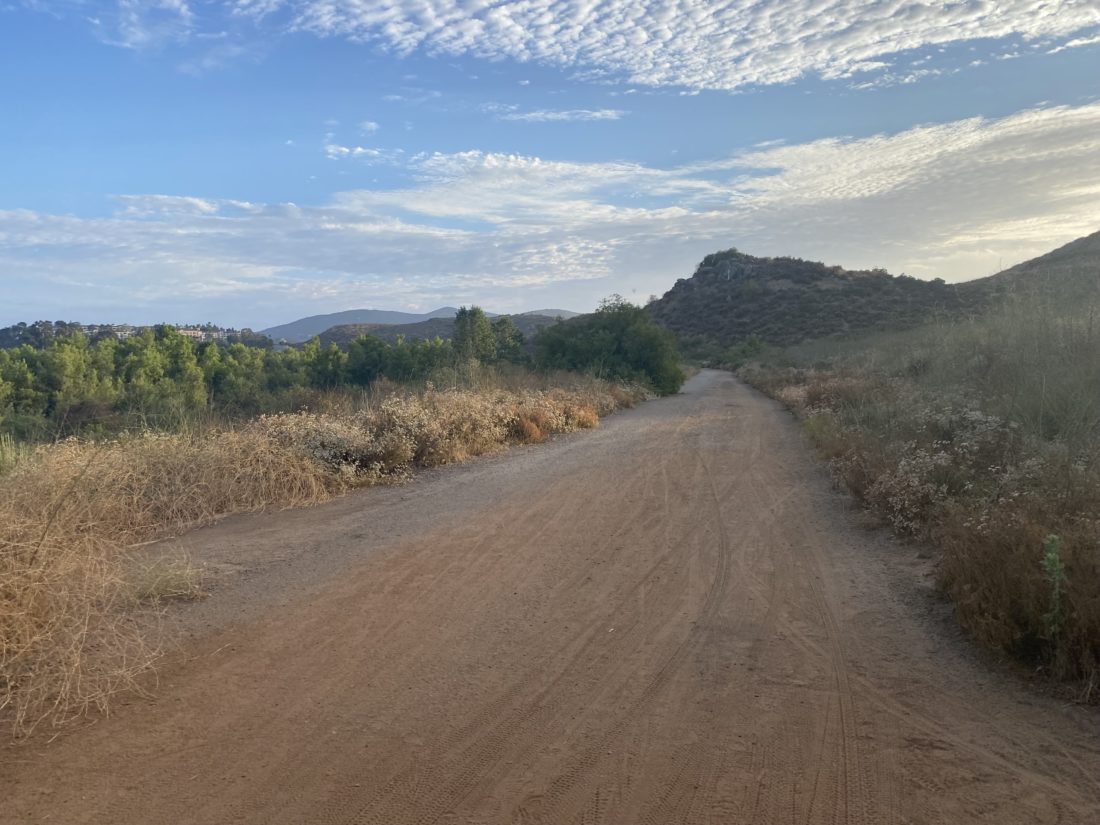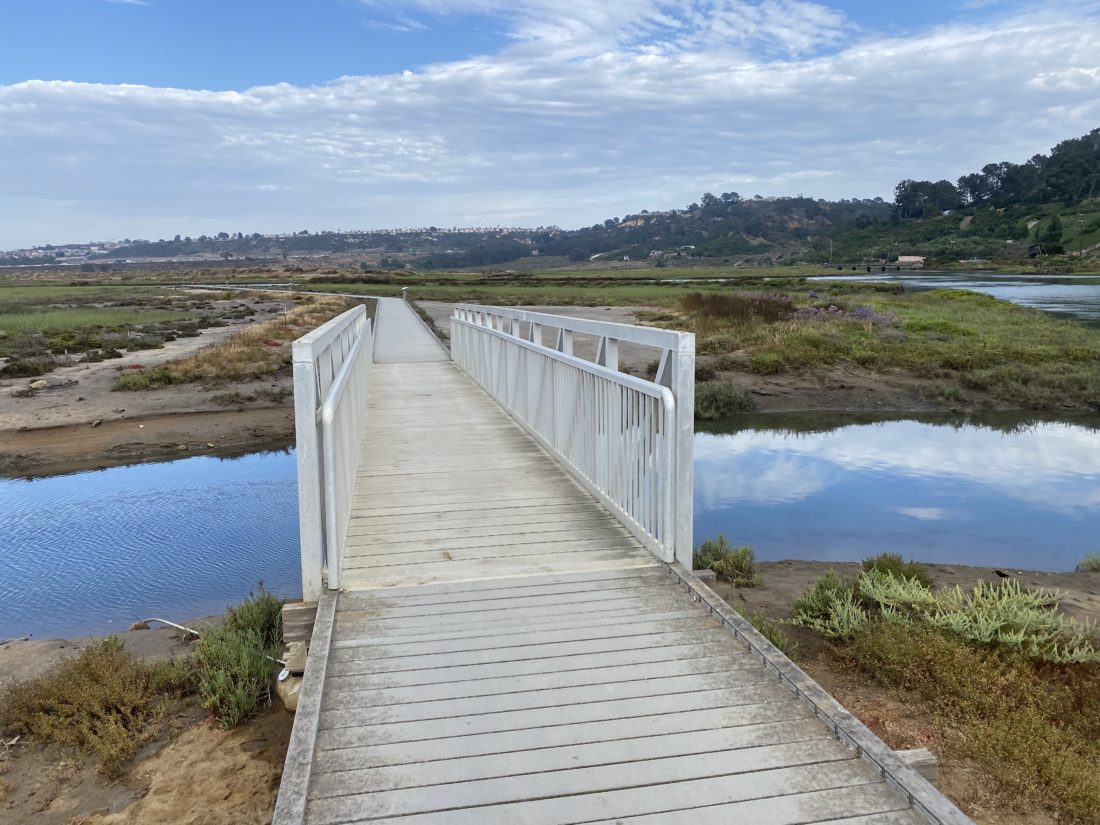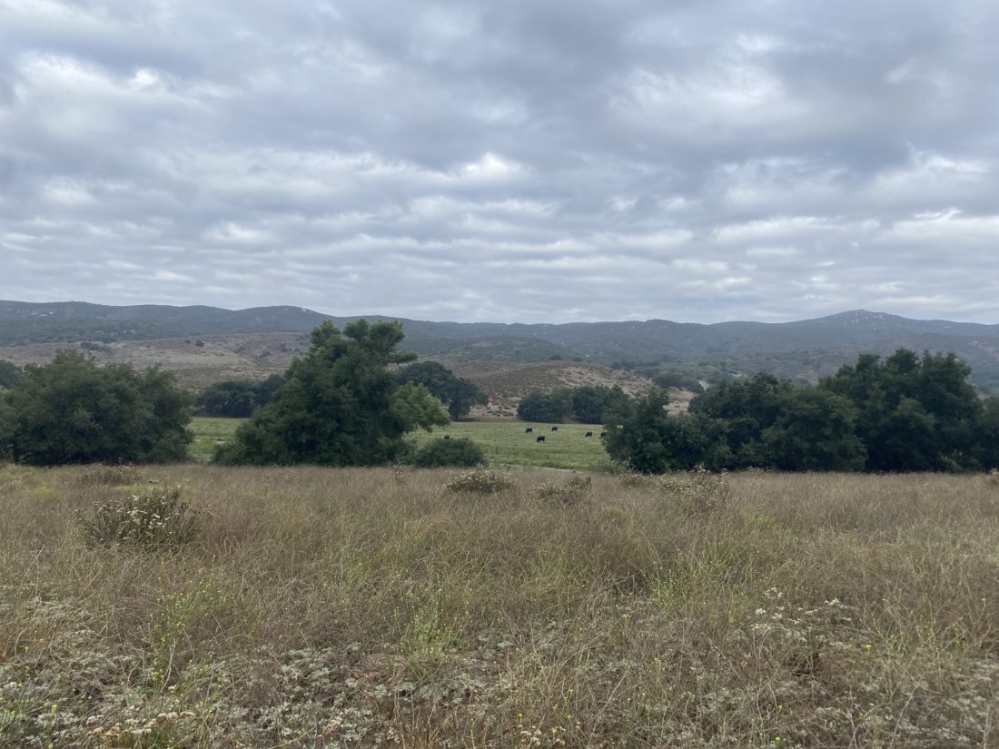
I knew when I hiked this trail with the family that it was a gamble, as it might be included in the 2023-2024 Coast to Crest Challenge. Well, I lost that bet, and this trail is one of the five hikes. I really didn’t mind hiking it again, as it is a very pleasant stroll along the valley. Given how easy the trail is, I had hoped one of my friends could join us, but he had prior commitments, so it was just Ted and I. We pulled into the parking lot, and there were about 5 or 6 cars parked. The skies were overcast again, thankfully not due to an incoming tropical storm, but just some “standard” monsoonal stuff. We grabbed our gear and headed out northward along the trail.


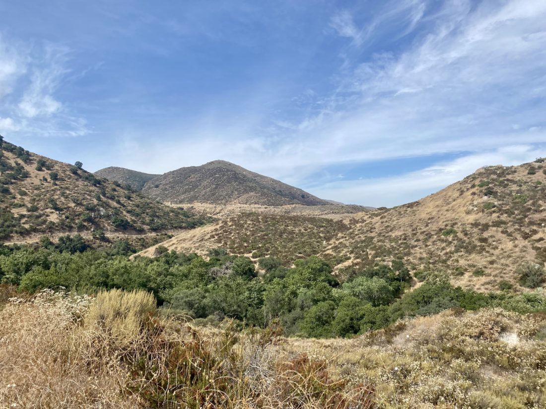
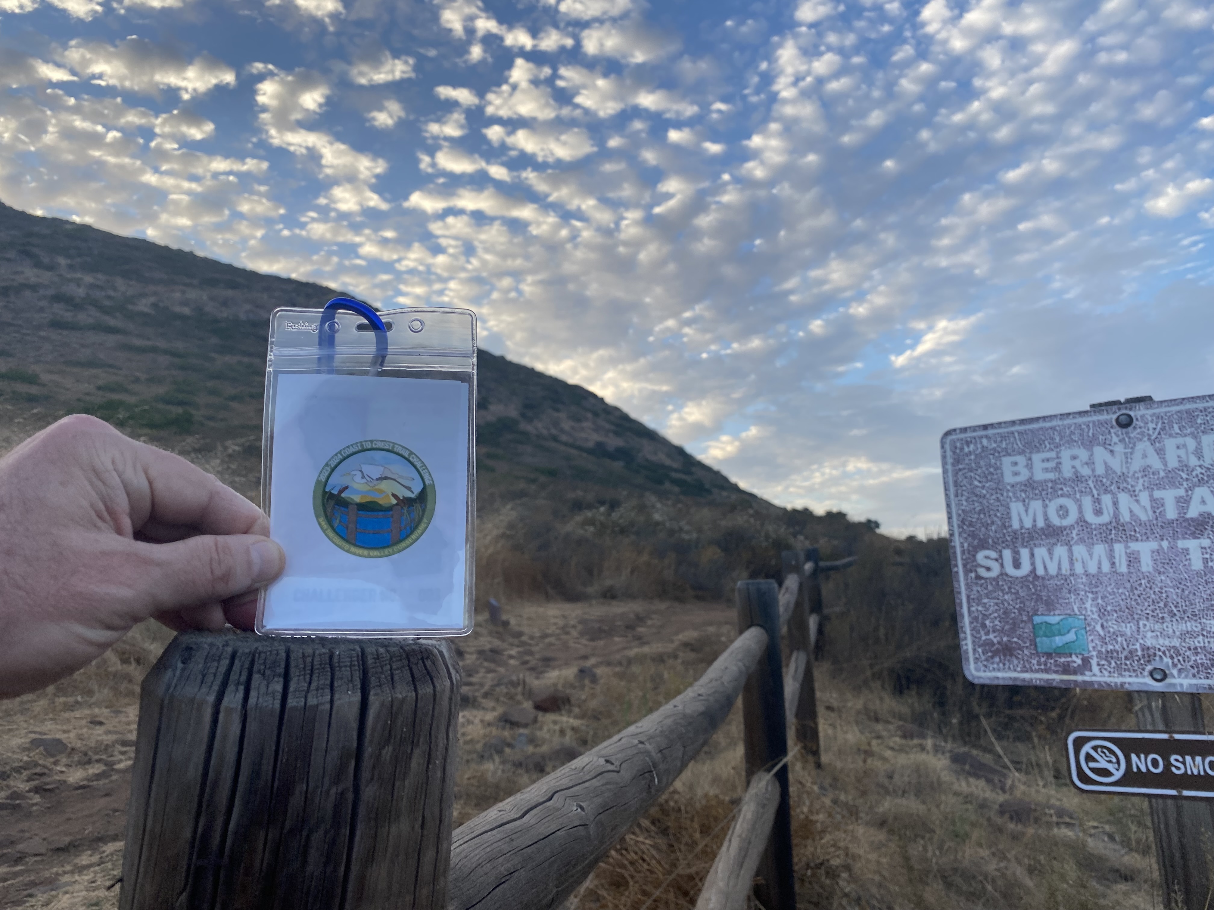
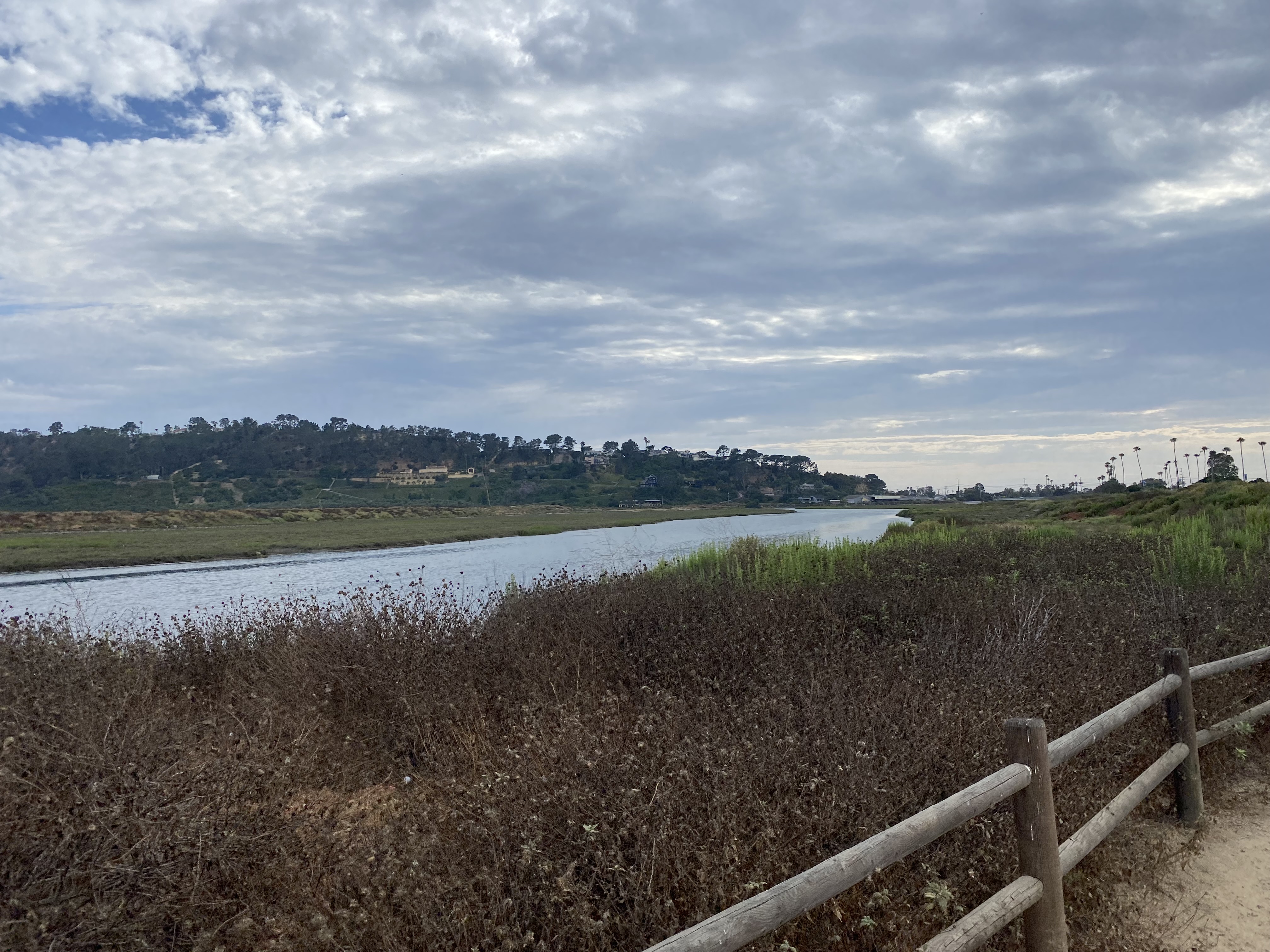
When I did this hike about a month or so ago, portions of the trail were overgrown, but now the grasses near the trail had all been cut. We cruised along the trail at a nice pace. I spent part of the time outlining my upcoming camping and hiking trip to the central coast. Along the way, a trail runner passed us, with a dog following behind. The dog stopped to say hello to us, and we learned that the dog did not belong to the runner and that apparently lived at one of the ranches in the valley. The dog trotted back toward the runner and we continued on. The trail ends at the intersection with the road that goes up “Big” Black Mountain. We had a quick snack, and I took my trip photo at the nearby sign.


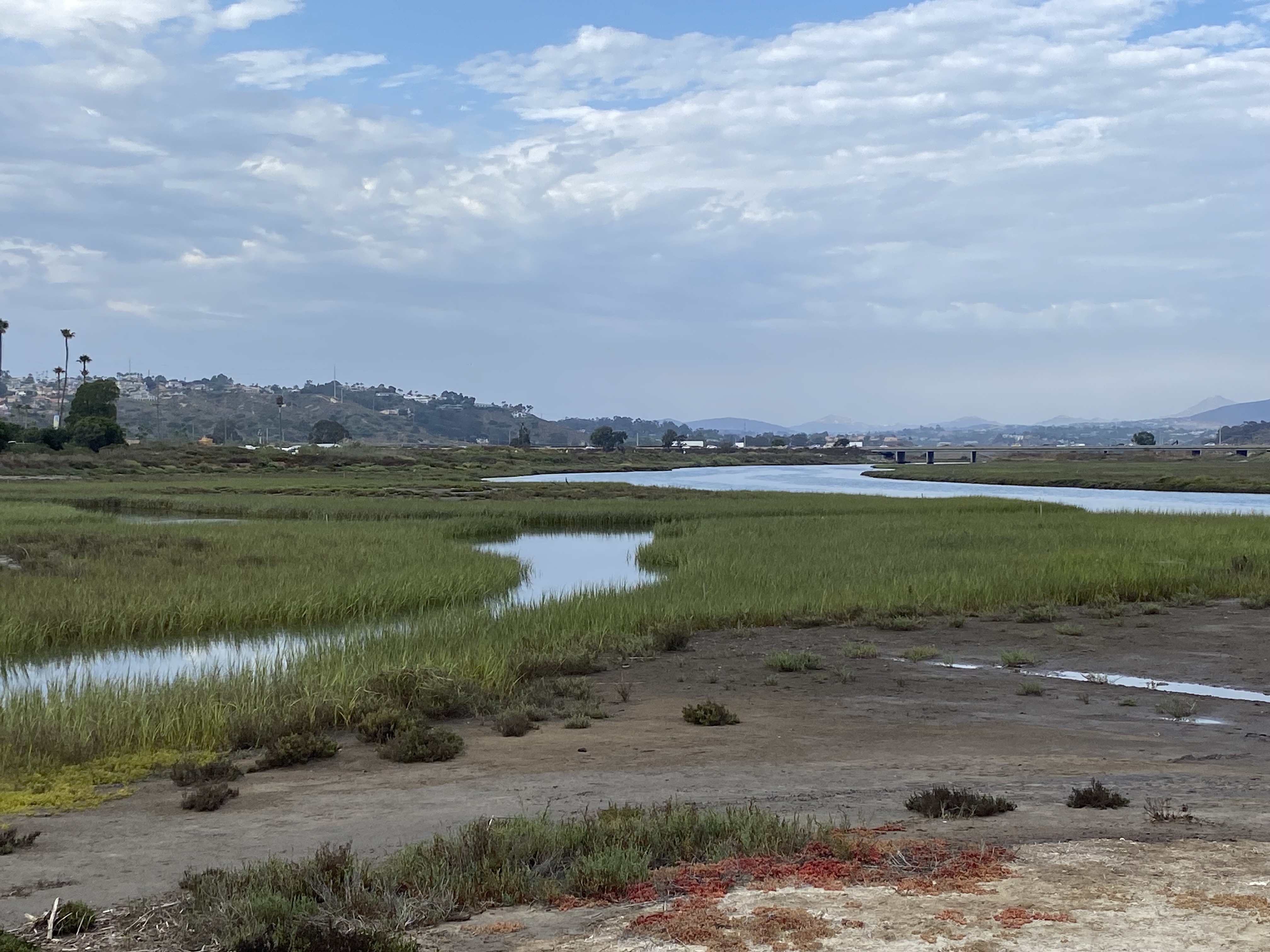
We began retracing our route, passing a hiker who was headed up Big Black Mountain for some training for the Grand Canyon. We wished him well and to be careful on the road. A bit later, we spotted the dog again. He had trotted back to us, and for the next couple of miles, mostly hung out with us. He did run ahead and play in the water for a bit at one point. Turns out, he is a fixture on the trail. Larry Edmonds sent me a photo of the dog from a few years ago. He has no collar, so we can’t tell you his name. Soon we reached the parking lot and my final Coast to Crest Challenge was complete. I am thinking of stringing all five together in a point-to-point fashion and doing them in one day, but that is for another time. One other thing to note is I swapped out my pack. I picked up an Osprey Talon 6 for these lighter hikes. My regular day pack just seemed like overkill. The pack worked well, although I will need to adapt to using bottles instead of a bladder. The hike was a pleasant 6.3 miles that we covered in 2:15, with just about 470 feet of gain.


I am an avid peak bagger, sometimes backpacker, and former sea kayaker living in San Diego. I am the co-author of Urban Trails: San Diego, coming in Spring 2026!
In 2019, I became the third person to complete the San Diego 100 Peak Challenge. Not stopping with that accomplishment, I set my sights on the harder San Diego Sierra Club 100 Peak list, which I completed in 2021. In addition, I have conquered several Six-Pack of Peaks challenges (SoCal, San Diego, Central Coast, and both the Arizona-Winter and Arizona-Summer). I am looking forward to exploring new summits and new adventures across the southwest.