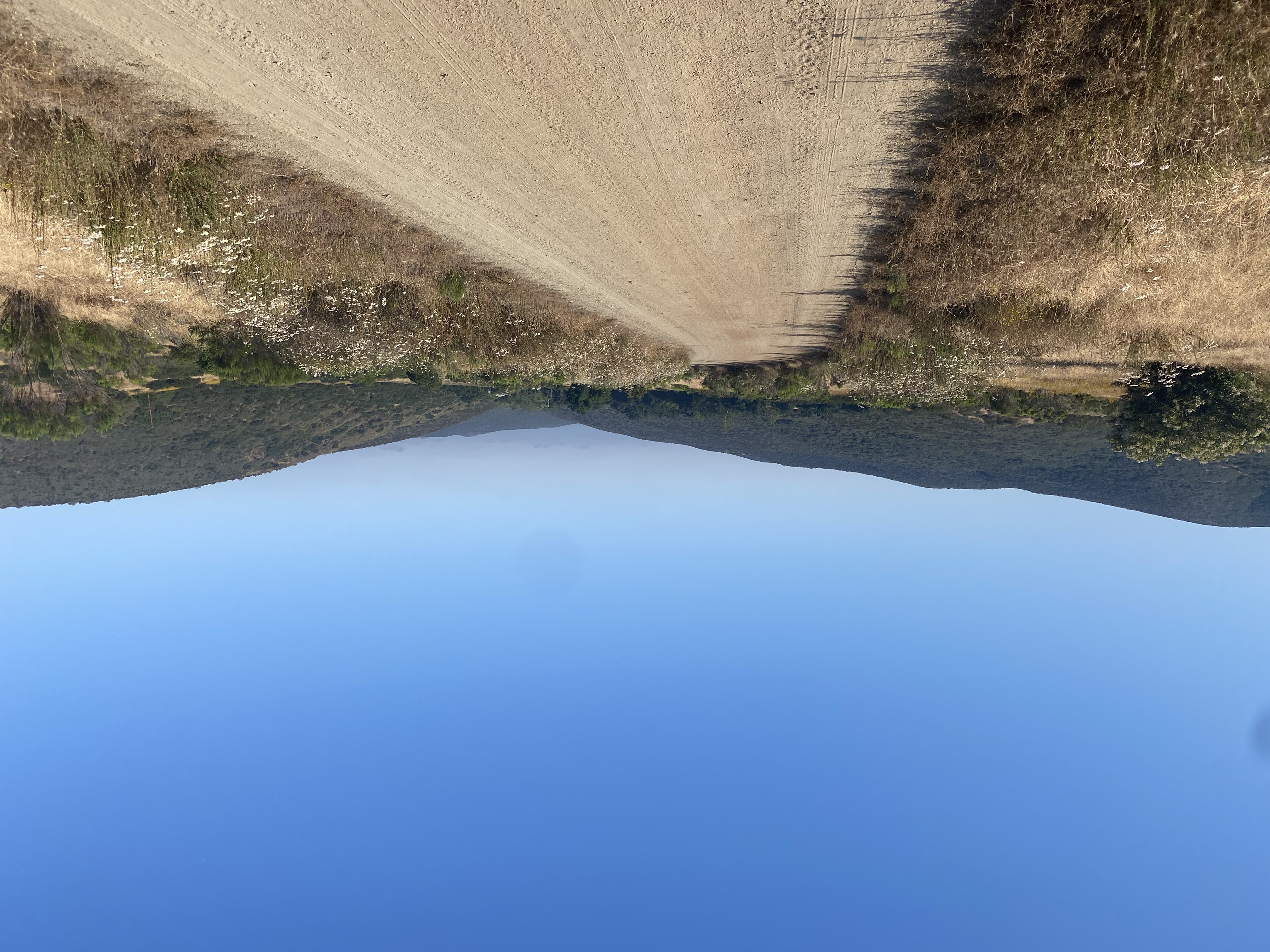
After the punishing heat atop Santiago, I knew I wanted to hike somewhere cooler this weekend if possible. After some research, Toro Peak, technically Toro Peak – West Peak, seemed like a nice option. The actual climb to the summit wasn’t too long, and to offset the drive, there were camping options. So, after checking with the family, I loaded up the Subaru for the adventure. The one gamble was all the sites, known as Yellow Post Sites, are first-come, first-served. So, there was a chance they could all be taken by the time I got there. I left mid-afternoon on Friday and made my way out to the Santa Rosa mountains. I pulled into the Santa Rosa Pit Stop and grabbed some firewood. Most of the Yellow Post Sites have fire rings and picnic tables. Alas, most do not have bathrooms. I turned off onto the dirt road that I would take up the mountain, keeping an eye out for cars and looking for points of interest. The road was fair, a little rocky at times, and there are sections where passing might be troublesome. Any regular truck or SUV would do just fine on it. As I made my way further and further up, I passed the painted rock and trees that offered their insights on past wildfires.


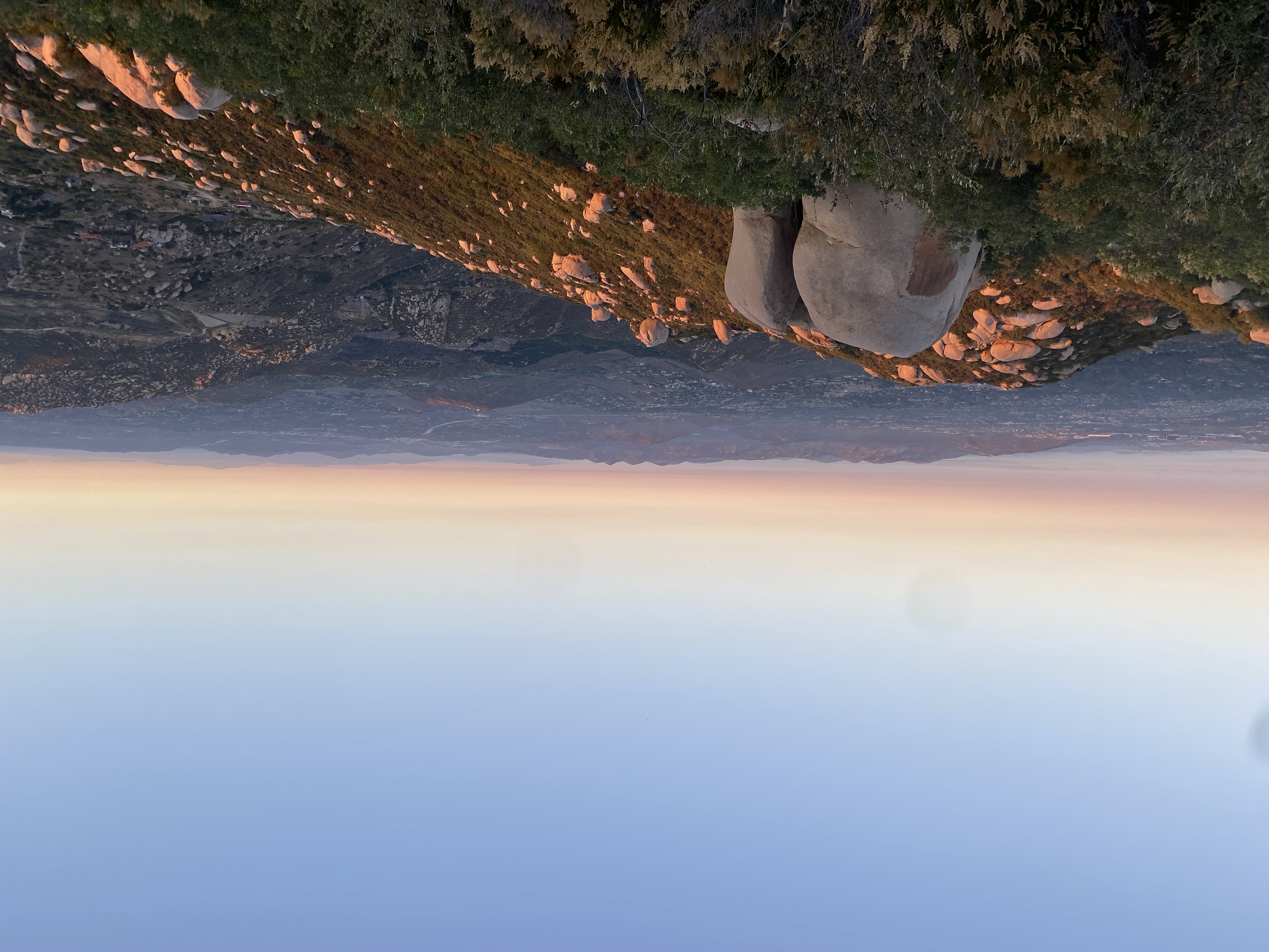
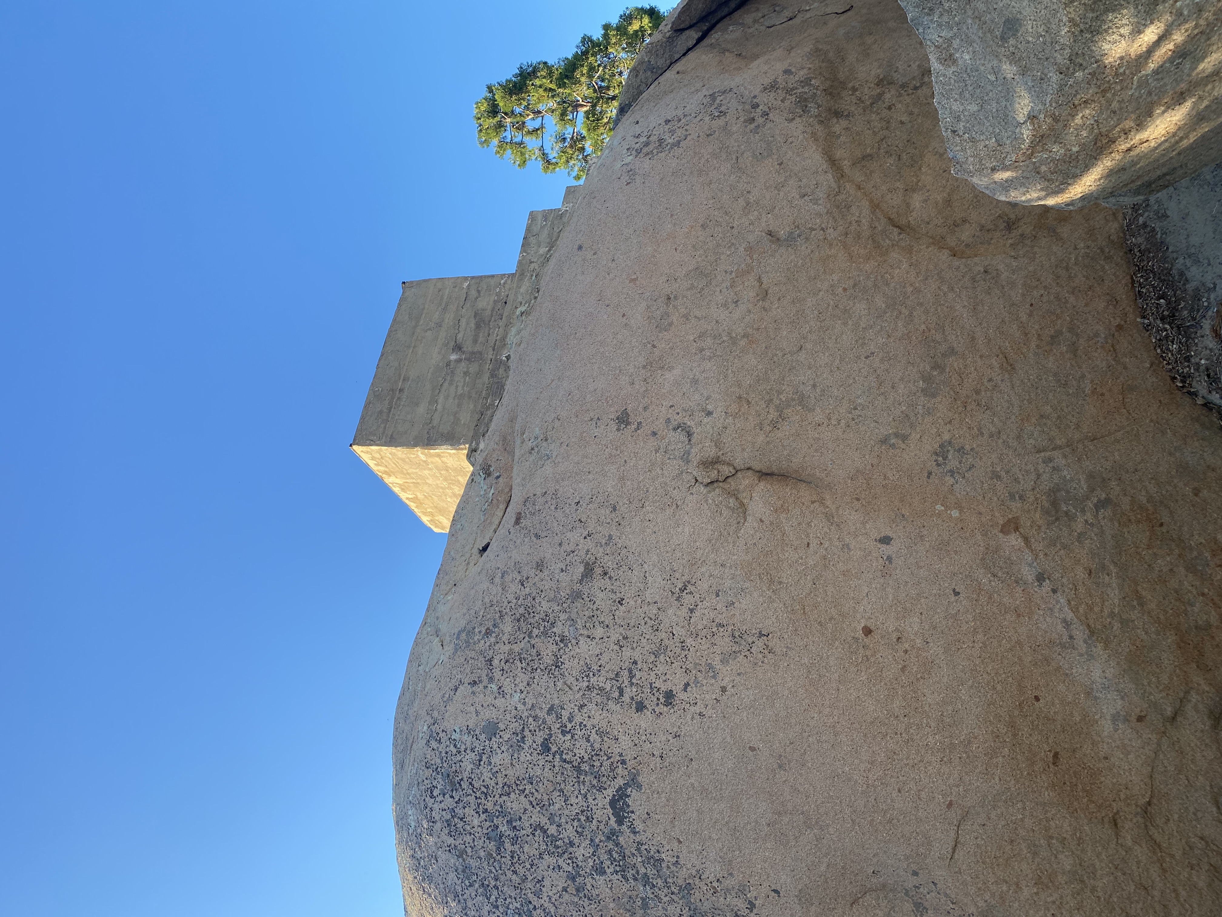
Each of the Yellow Post Sites is numbered, and I decided to see if #5 was still available. After one tricky section, I pulled into the spot. There was a nice level section for the car, so I parked and began setting up. The nice thing about car camping is it really doesn’t take long to set up. Just to the north of my campsite was the summit of Santa Rosa Mountain (HPS #67). I grabbed a trekking pole and strolled up the road. Atop the summit there is a huge fireplace, all that remains of a cabin that once stood there. I scrambled to the top of the summit rocks and took in the view. A hint of smoke filled the air from the Bonnie Fire, burning off to the west. There are actually two Yellow Post sites here as well, and I did consider relocating, but since it was just me, I was fine with my site. As I returned back down from my stroll, some ideas for a work project had gelled in my head, so I grabbed my notebook and sketched them down. Depending on where I stood, I had some cell signal, so I checked in with the family. Peakbagger showed another summit just off to the southwest of me, so I was off for another mini-trek.


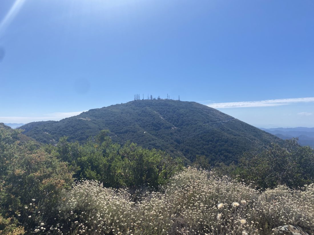
I climbed the short slope onto the ridgeline and then followed it for a short while until I reached its summit. I brought my Garmin, just in case. Once at the summit I found a nicely shaded rock and wound up taking a short nap. Once back at camp, I began prepping my fire and watching the sun slowly set. The moon had risen and I could see Toro Peak directly off to my east. That peak is on the Santa Rosa Indian Reservation and is off-limits. I tried to spot the “replacement” peak but had no luck. I lit my fire and later enjoyed my dinner and beverages. With the bright moon, I knew that any real star-gazing would not be in the cards, so I crawled into the car and went to sleep.

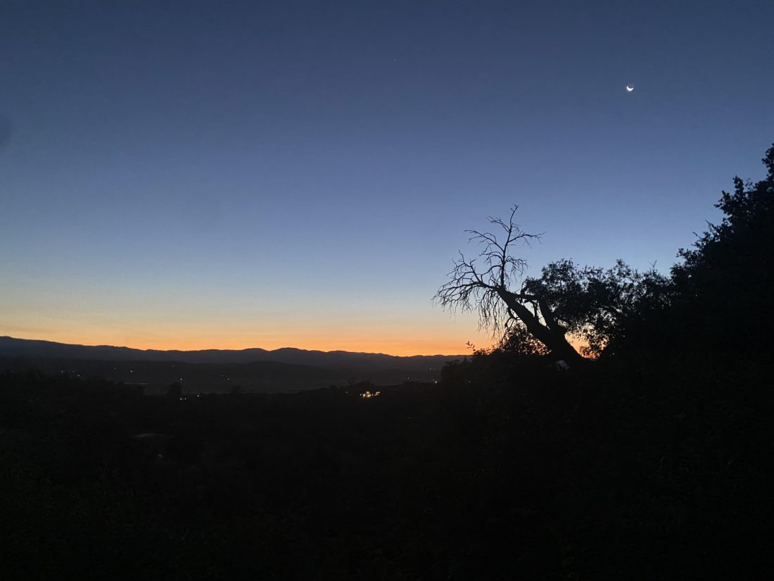
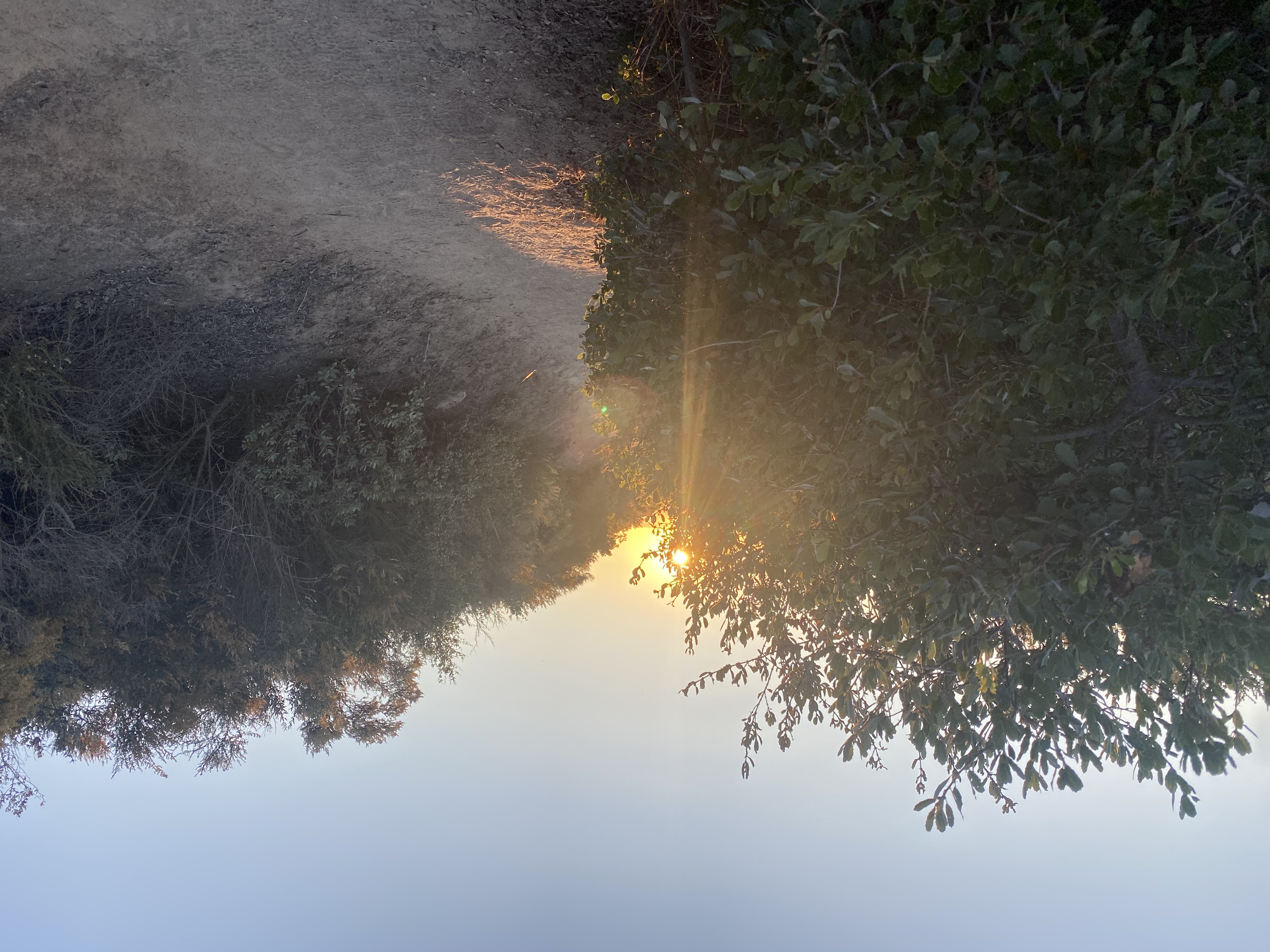
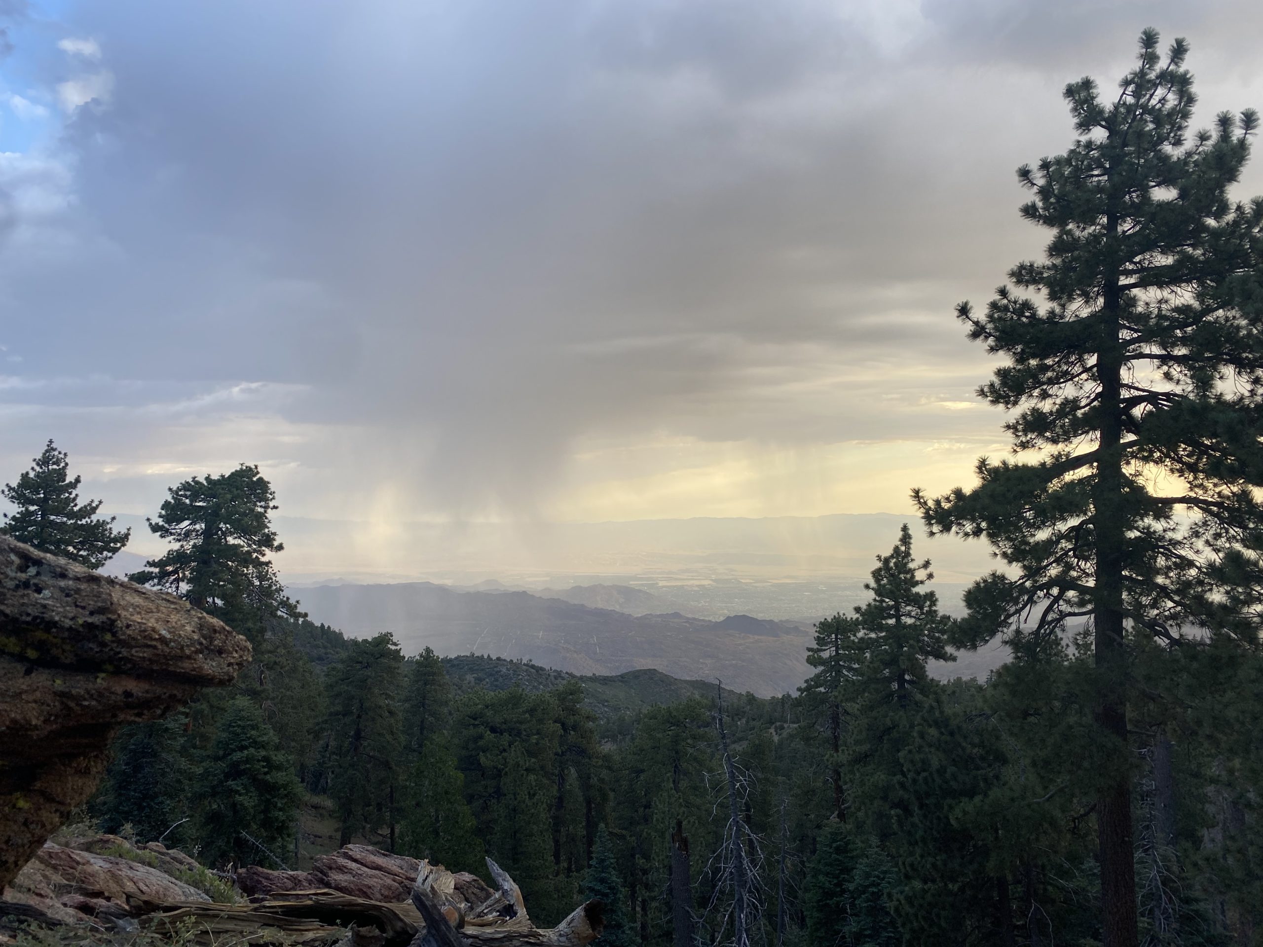
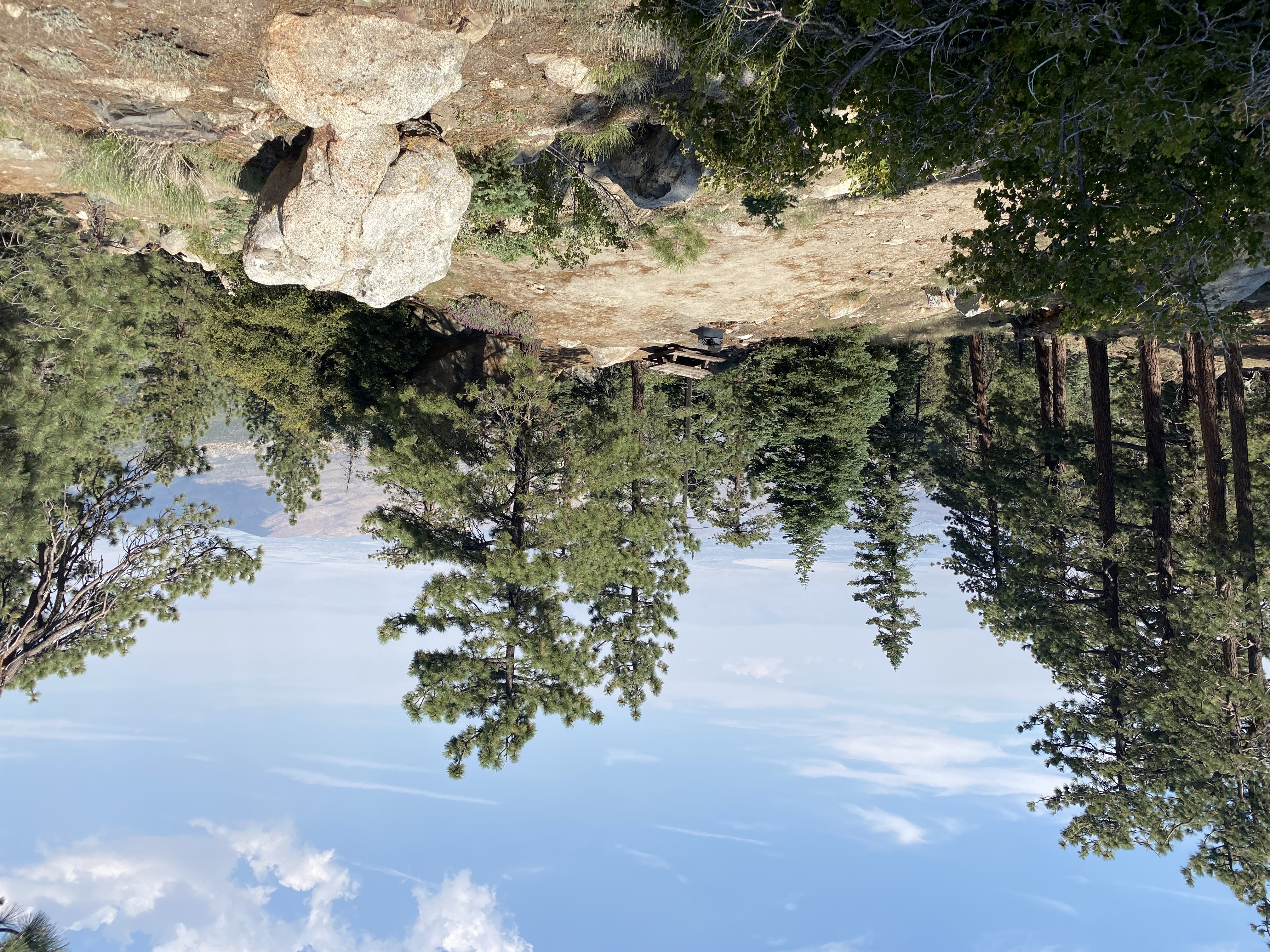
For some reason, I did not sleep all that well. I woke up just before dawn and was thankful to get a lovely photo of the pre-dawn sky. Rather than start from where I had camped, I decided to continue driving toward the trailhead and start somewhere closer. According to the map, there was a vault toilet about a mile to the east at a cluster of three campsites. I parked at the one closest to the road. All three were empty, so I did not have to worry about waking anyone up. As I gathered my gear, a rainbow appeared to the west. I already had a few sprinkles coming down on me when I was packing up, so a rain jacket was added to the pack. The first part of the hike followed the main road toward Toro Peak.


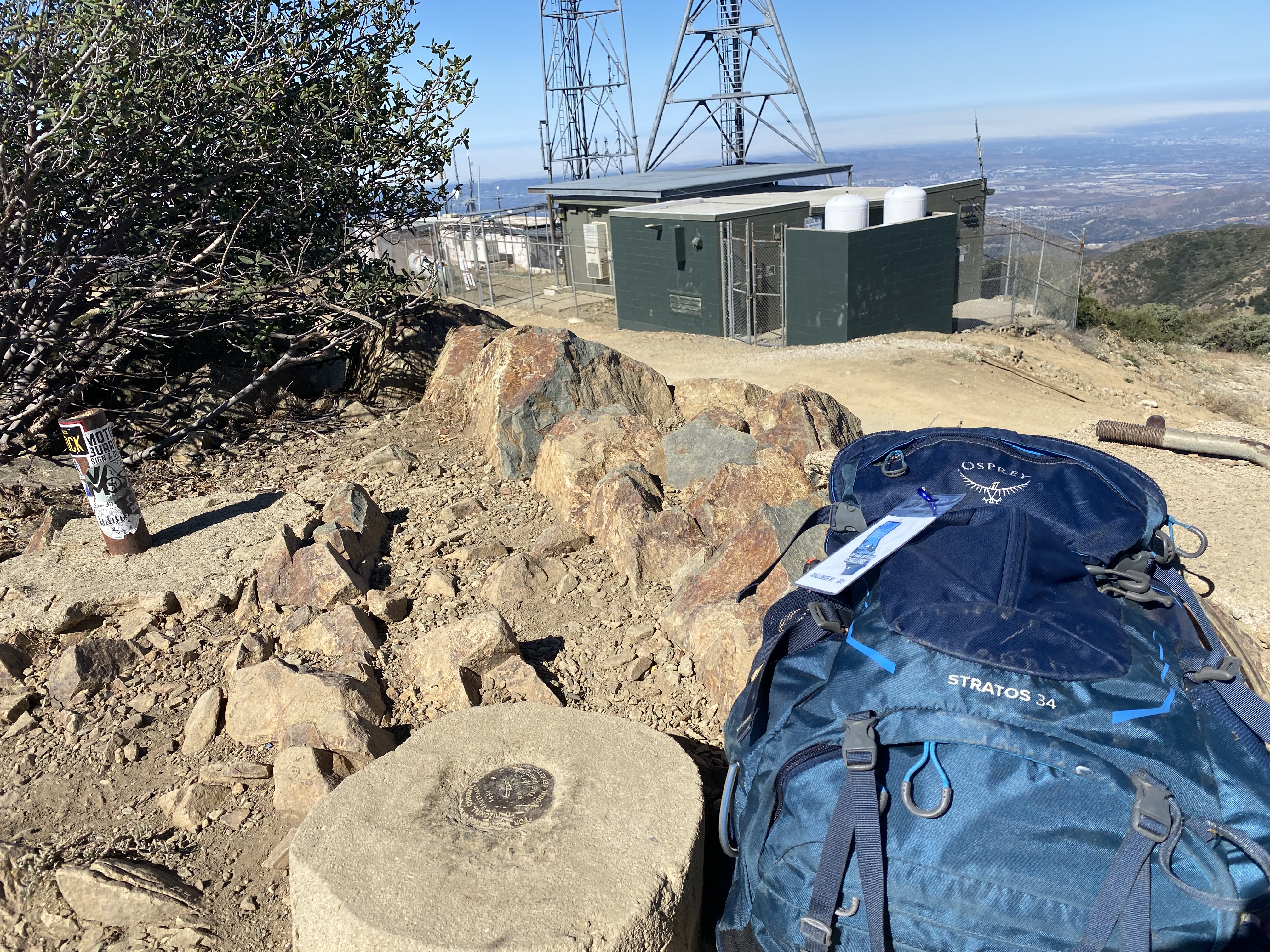
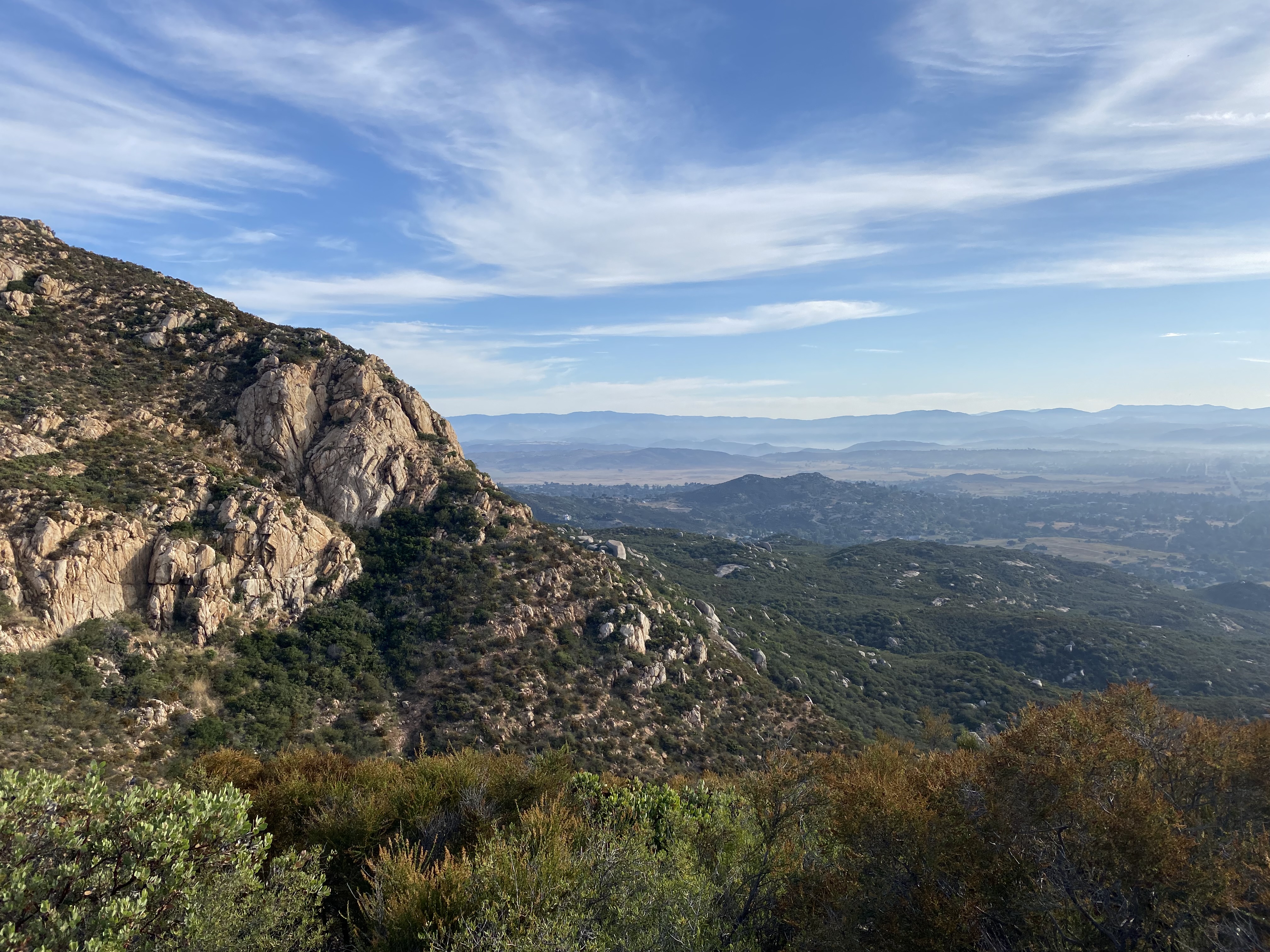
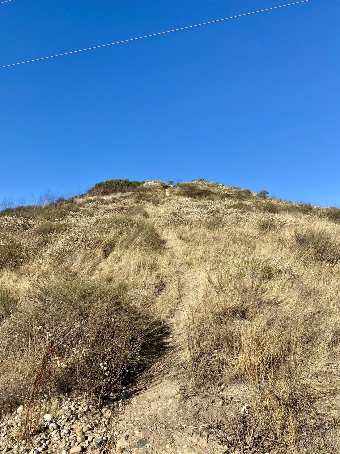
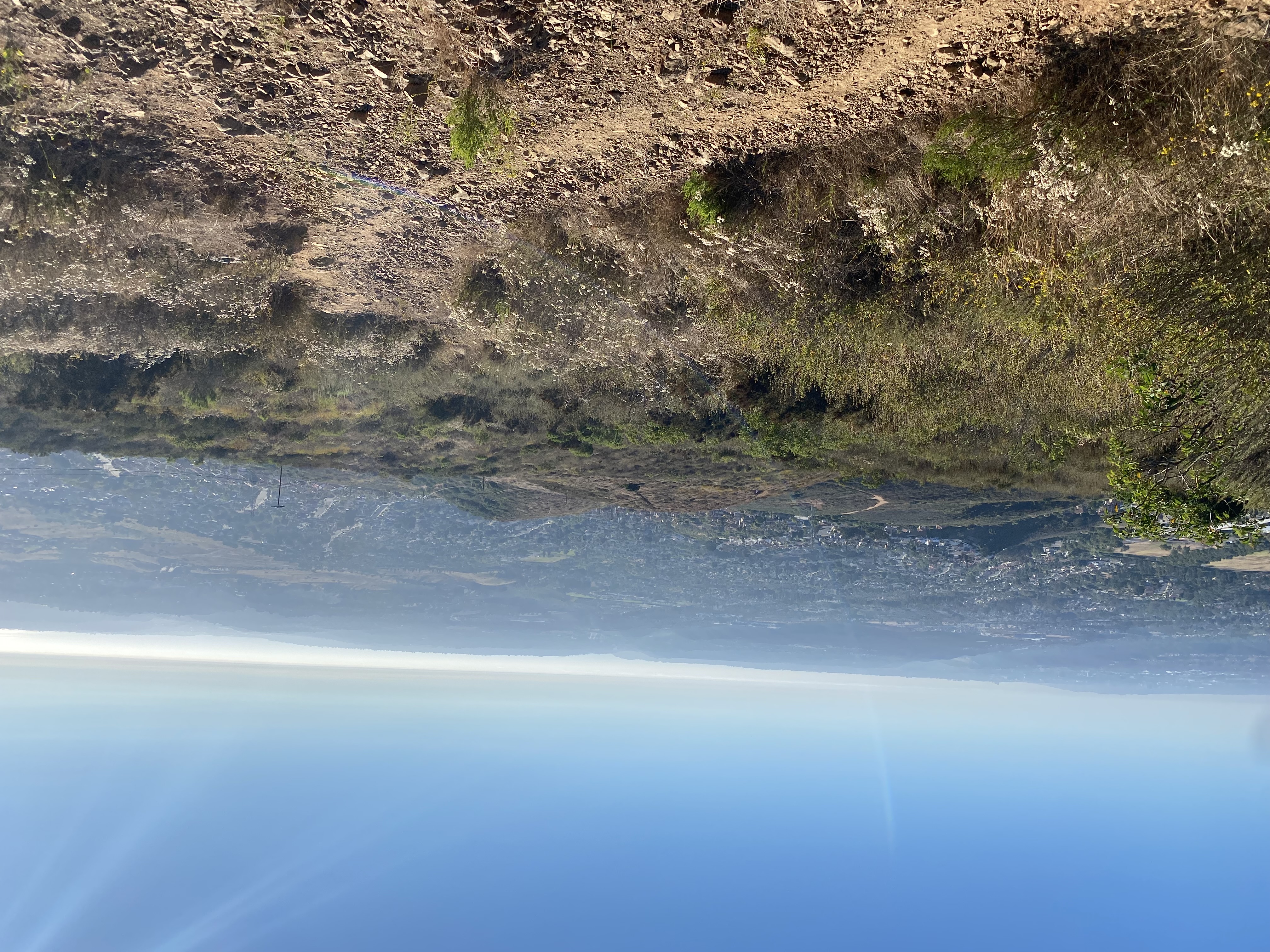
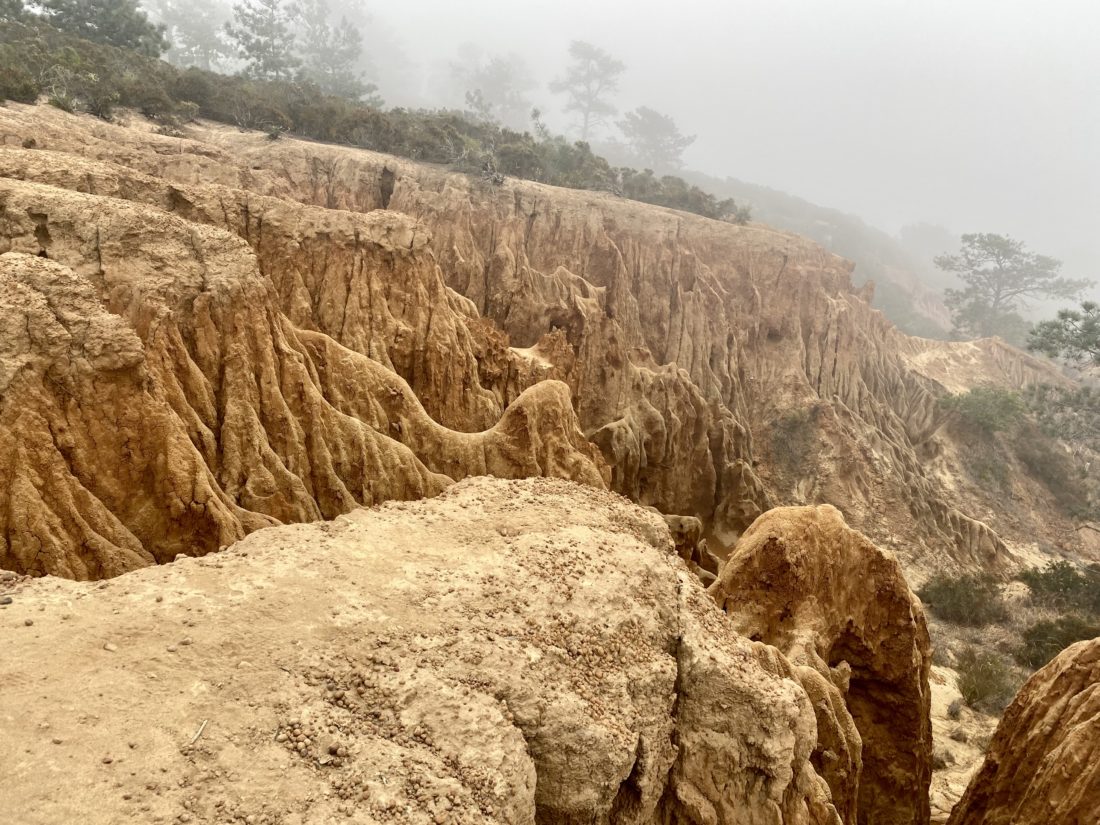
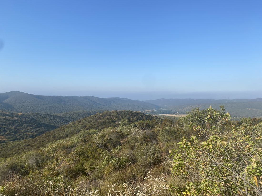
I spotted the cairn that marked the steep gully that I would follow up to the saddle. I left the road and began working my way up the steep and pine needle-covered slopes. To give a sense of the steepness, the average grade was about 28%, and coupled with being at almost 8,000 feet, my lungs were working overtime. Once at the small saddle, I turned westward for the final push to the summit. It had sprinkled on me from time to time on my ascent, so I did not expect to linger too long on the summit. I found the register and signed in. The views were breathtaking, but I was mindful of the weather, so I headed back down. Pictures never do justice to the steepness of the terrain, but trust me, it was steep! Once back on the road, I quickly cruised back to the car. I did not have a real breakfast, so the Paradise Valley Café was calling my name. All told the hike was 2.6 miles and had an elevation gain of 775 feet.


I am an avid peak bagger, sometimes backpacker, and former sea kayaker living in San Diego. I am the co-author of Urban Trails: San Diego, coming in Spring 2026!
In 2019, I became the third person to complete the San Diego 100 Peak Challenge. Not stopping with that accomplishment, I set my sights on the harder San Diego Sierra Club 100 Peak list, which I completed in 2021. In addition, I have conquered several Six-Pack of Peaks challenges (SoCal, San Diego, Central Coast, and both the Arizona-Winter and Arizona-Summer). I am looking forward to exploring new summits and new adventures across the southwest.