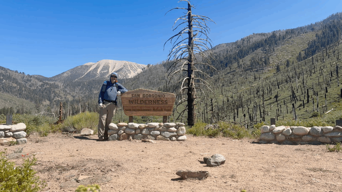
They say the third time is the charm, right? I wanted one last hard hike before Ted and I attempt to summit Mt. Whitney. I debated between hiking up Ontario and Bighorn or doing San Gorgonio as an overnight trip. With the water sources on San Gorgonio slowly drying up, I figured I should take that option. I pulled into the familiar parking lot and quickly gathered my gear. It was a bit warm, but there was enough of a breeze to offset it. I drank my liter of water and crossed over the road. I opted to only carry 1/2 liter of water and another 1/2 liter of electrolytes. My plan was to possibly filter at the crossing of the South Fork of the Santa Ana River if needed, and really load up on water at Lodgepole Spring. Instead of camping at Dry Lake, I decided to aim for camping further along at the Trail Flats campsite. The first part of the hike went quickly, and I, of course, made a stop at Poopout Hill for a photo. Soon, I reached the junction with Dry Lake Trail and Dollar Lake Trail. I crossed over the side streams and continued to the river. When Ted and I were here last August, it was flowing enough to make us cross cautiously. This time, I could simply rock hop across the water. I still had plenty of water and was feeling good for the next section. The next 1.6 miles would climb about 850 feet, and be a good workout. One difference from my last time here is that I weigh about 25 pounds less! I cruised through this section, and soon Dry Lake came into view. It certainly was smaller than last time. I took the trail along the north side over the spur trail to Lodgepole Spring. The spring was still flowing, but I had to go a bit further to find a good spot to fill up and filter. The plan was to fill both bottles, as well as my 3L CNOC bag, and haul all that up to Trail Flats. My light backpack just got heavier.


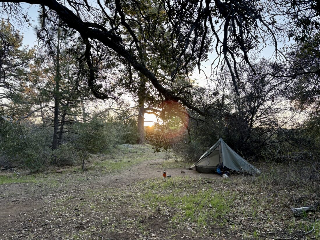
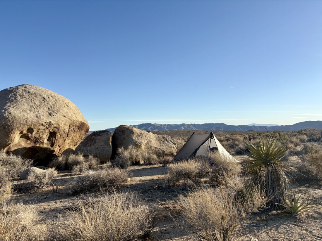
I continued looping around the edge of the lake until I rejoined the main trail and started the climb to camp. From here on out, the trail would be new to me. Over the next mile, I would climb over 500 feet. While the pack was about 10 lbs heavier, I felt good. I spotted the campsite sign attached high on a tree, and began to survey my options. I quickly found a nice flat spot and began setting up camp. I opted to bring my REI QuarterDome SL1 this time, since there would be no moon in the night sky, and I could lie in the tent and stare at the stars above.


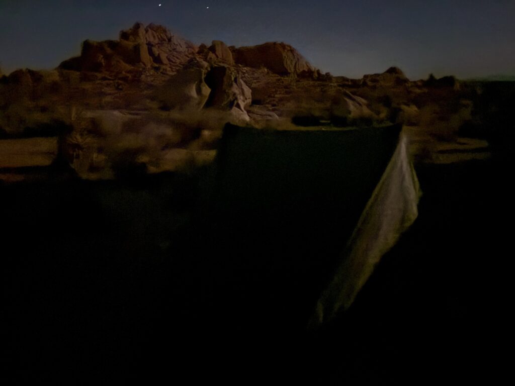
I made dinner, watching the sun slowly dip behind the ridge. I hung my Adotec food bag and crawled under my quilt. The stars slowly began showing themselves as I continued to listen to The Two Towers. When it was dark enough, I was going to do some astrophotography, but my iPhone had offloaded AstroShader, so I could only use the built-in camera. Since I was hoping to reach the summit for sunrise, I set an alarm for 3 am. Some night hiking will also be good practice for Whitney.


The alarm went off, and I broke camp. I had debated leaving most of the gear here and hiking lighter to the summit. But in the end, I just packed up everything and set off. It was cold, and I was wearing my sun hoodie, my camp shirt, and my puffy, but quickly shed the puffy. The trail was easy to follow under the light of my headlamp. I ate a bar at Mine Shaft Saddle and pushed on under the starry skies.


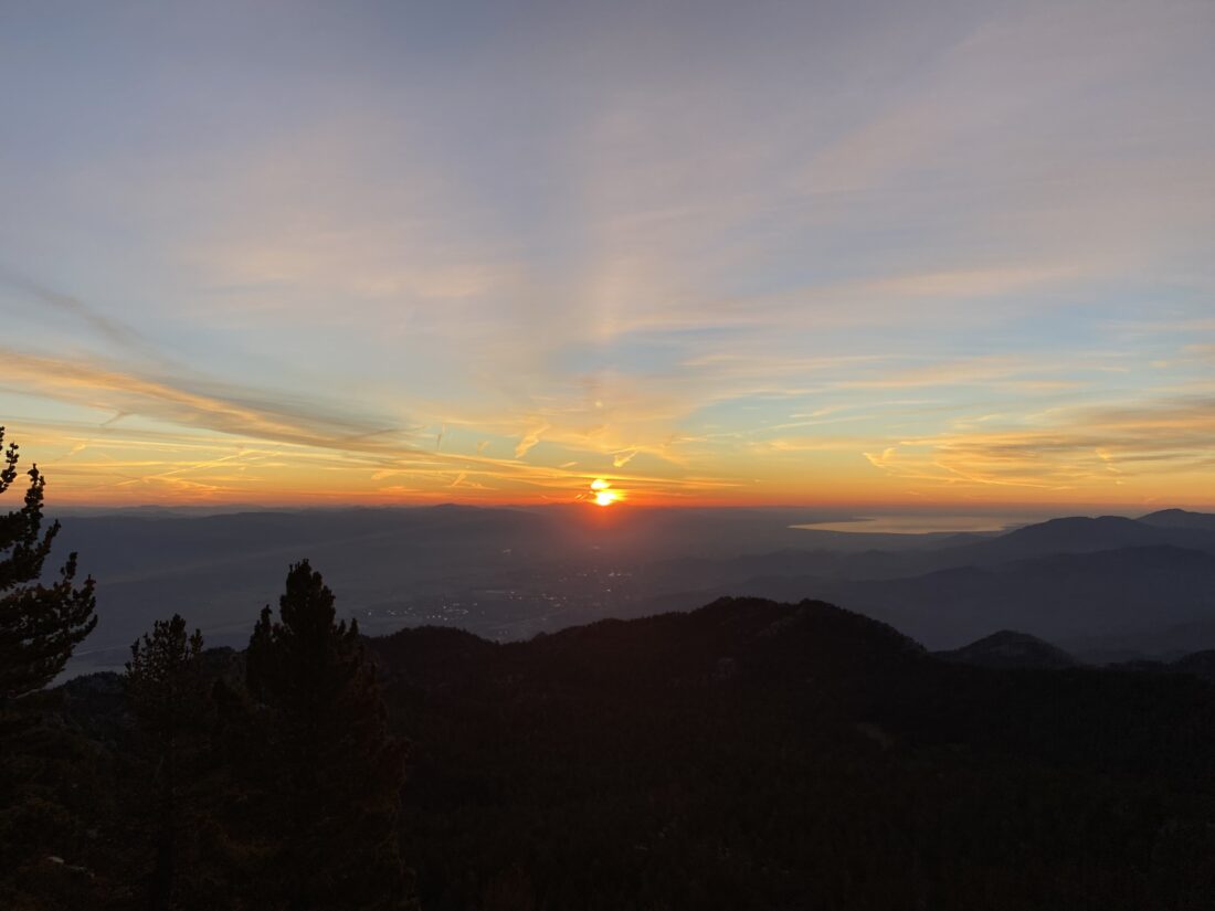
The trail climbed at a nice grade along the east side of the mountain. The faint glow of the coming sunrise started to show off to the east. I passed the C-47 crash site without seeing it. It started to get colder as I kept gaining elevation, and I finally stopped and put the puffy back on. The lights of Palm Springs also came into view as I worked my way up a series of switchbacks, before the trail turned westward. The sun’s rays illuminated San Jacinto’s summit to my south, letting me know I had mistimed my attempt. Oh well, the night hiking was still good practice. The trail turned northward and reached the junction with the Vivian Creek Trail, just 0.4 miles from the summit. I remember how hard it was this last time I was here. Now I felt pretty good, with just a small headache.


I reached the summit and spotted a tent set up in one of the wind shelters. I took some photos with the summit signs before heading over to the tent. The occupant had come out and he gave me a wave. He had arrived at the summit around 9 last night via Vivian Creek and said it was cold and windy overnight. I fired up my stove, made a cup of coffee, and ate my oatmeal. We chatted for a bit while we each ate our breakfasts. The small headache faded away, and I assume it was either the need for some caffeine or a bit more fluids.


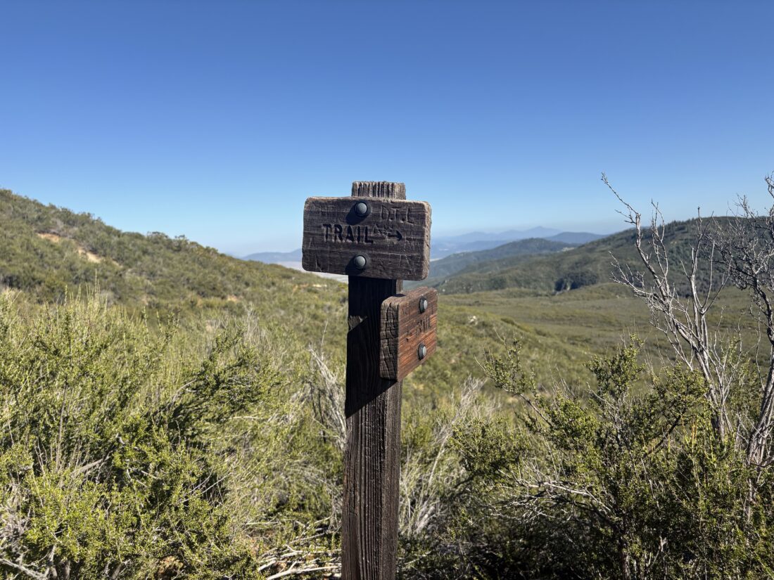
As much as I enjoyed our conversation, I knew I had quite a few miles left to hike to get back to the car. I debated whether I should return the same way I ascended, or loop around and come back via Dollar Lake. I opted to try the Dollar Lake route, as it was a bit shorter. I bid him farewell and set off back down the trail. I paused at the junction back to Dry Lake and mulled it over once again, but decided to stick to the plan. The trail split again, the left fork heading down to Vivian Creek, and the right fork heading toward Dollar Lake. I guess there are enough people not paying attention that a warning sign had to be added to keep people on the right track.


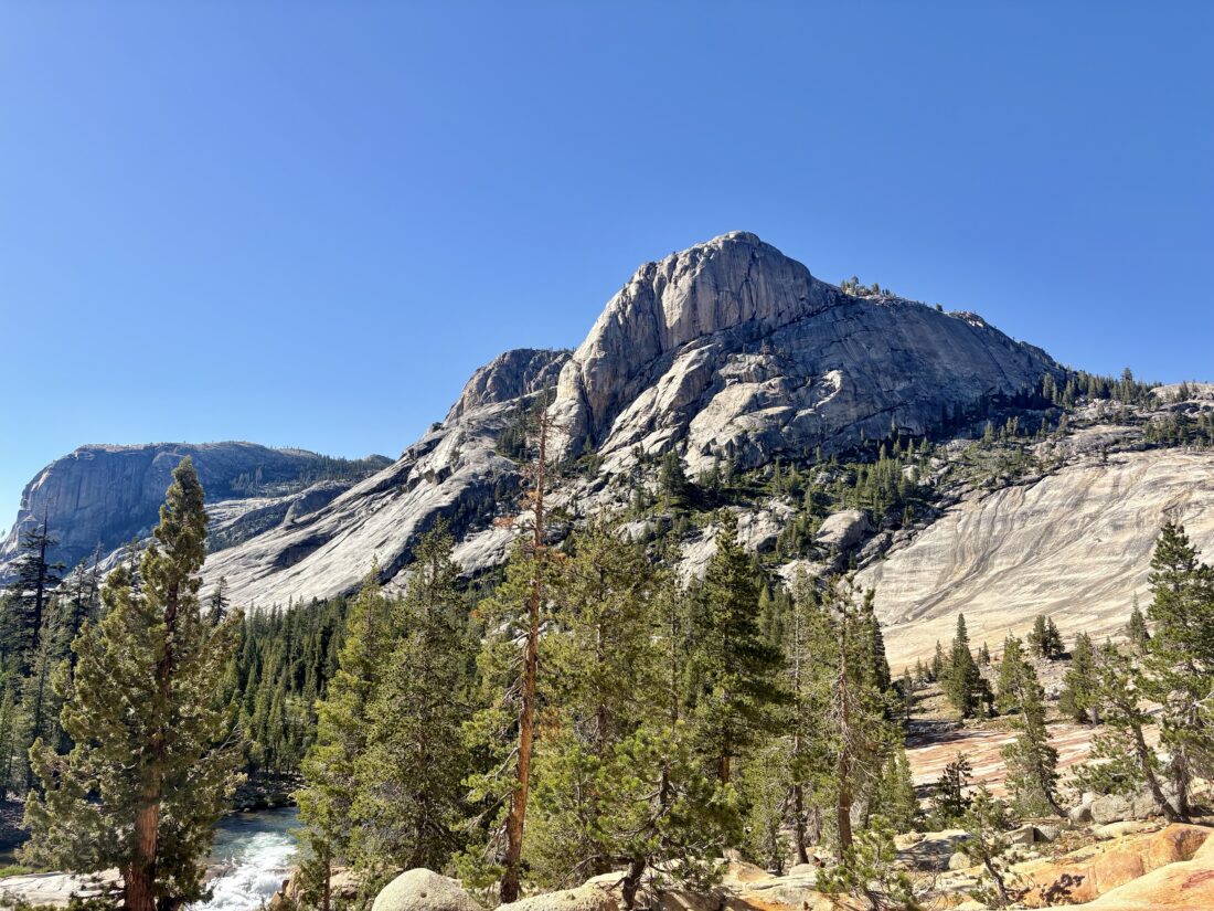
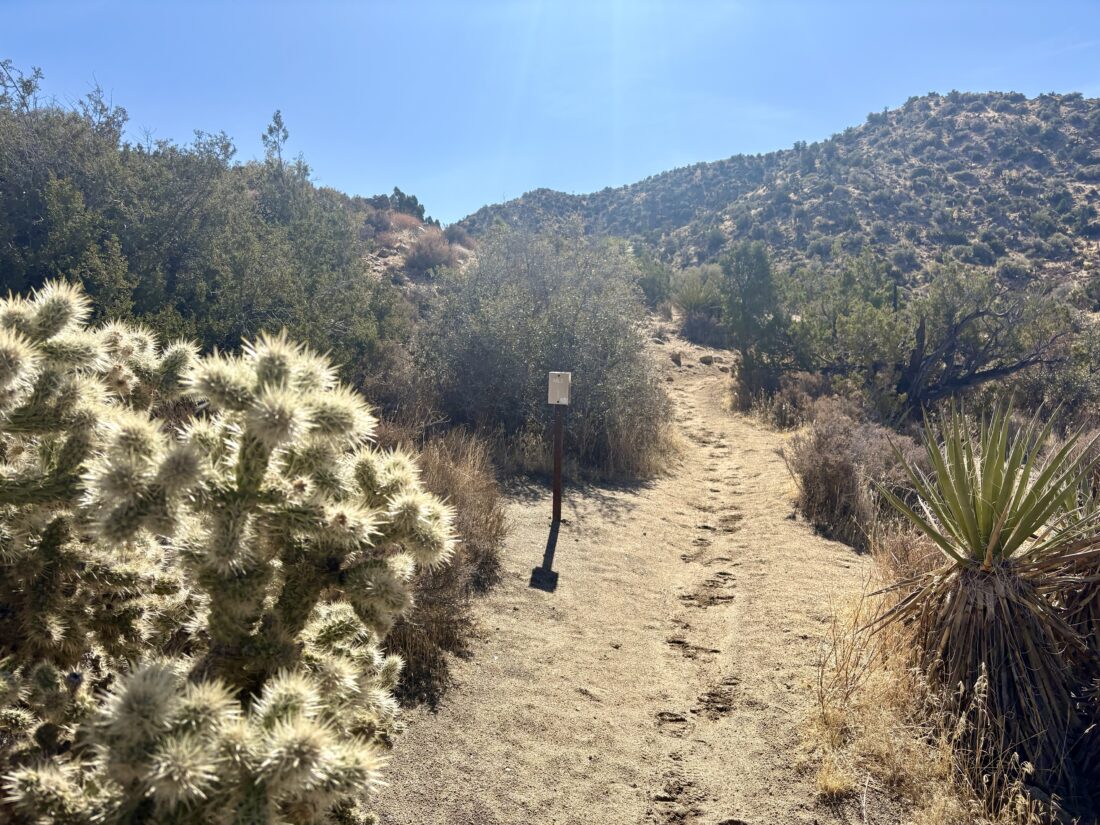
Another reason that I opted to take this route was that the trail passes by several Hundred Peak Section peaks, and I was considering adding them to the adventure. I didn’t do any advanced planning, so I only had whatever the topo maps showed me and what my eyes actually revealed about each summit. The sun had started to warm things up, and I stashed my puffy back into my pack. I was also right near Jepson Peak. I looked over the map, and it looked like it was a 0.2 mile jaunt off-trail to the summit, with almost 300 feet of gain. The legs were feeling good, so I went for it. I zig-zagged up the side of the peak until I reached its summit. There was no marker here, and I skipped signing the register. I did have a nice view of San Gorgonio off to my east as a reward. I then followed the ridgeline over to a small bump to the north, before working my way back down to the trail. Once back on the trail, I cruised along. Santiago and Modejska Peaks could be seen off to the southwest, rising above the marine layer. As I neared Dollar Lake Saddle, I decided that climbing Charleston and Little Charleston Peaks would have to wait. If I had brought an extra liter of water, I might have considered it. The rest of the hike would now be sunny and warm, so I wanted to conserve my fluids, as I still had almost 6 miles to go.


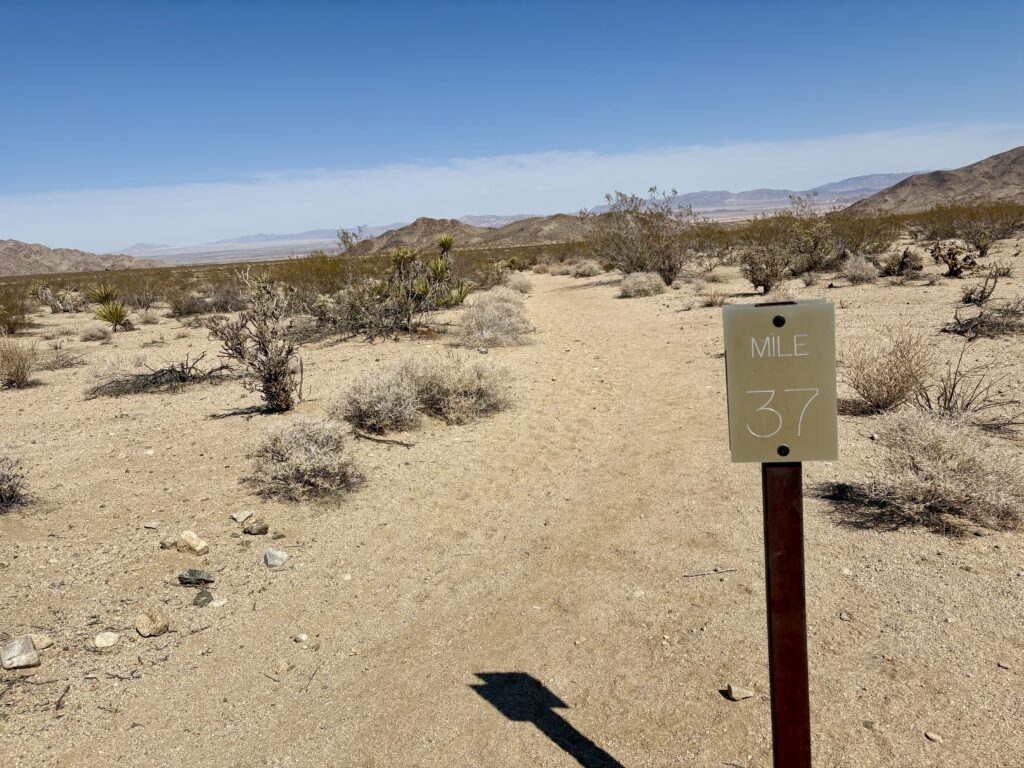
The trail did become both more exposed to the sun and rockier in nature as it worked its way downward. I put on my headphones and resumed my audiobook. I was at the part of the story when Merry and Pippin meet the Ents. Seemed perfect timing as I walked through the wilderness. After 2.3 miles, I again reached the junction to Dry Lake. I took a break under the shade of some lovely trees. I still had enough fluids to get me back to the car, so I did not wander over to the nearby creek to filter some additional water. The last 3.6 miles went quickly, passing backpackers making their way up to their campsites, and a day hiker or two. Soon, I passed the cabins at Horse Meadows and knew my adventure was drawing to a close. I am extremely happy to have climbed San Gorgonio again and to have done it as an overnight adventure. The entire hike was 22.41 miles, with 5,116 feet of gain. My hiking time was 3:59 from the trailhead to camp, 2:38 from camp to summit, and finally 4:45 from summit back to the car. Now to rest up and start packing for Mt. Whitney!


I am an avid peak bagger, sometimes backpacker, and former sea kayaker living in San Diego. I am the co-author of Urban Trails: San Diego, available now!
In 2019, I became the third person to complete the San Diego 100 Peak Challenge. Not stopping with that accomplishment, I set my sights on the harder San Diego Sierra Club 100 Peak list, which I completed in 2021. In addition, I have conquered several Six-Pack of Peaks challenges (SoCal, San Diego, Central Coast, and both the Arizona-Winter and Arizona-Summer).
I am looking forward to exploring new summits and new adventures across the southwest.