Conquering White Mountain

The goal for this weekend’s adventure was to summit White Mountain Peak, California’s third-highest peak at 14,252 feet. The day began early, with a drive from San Diego to Big Pine, where Ted Markus and I stopped for lunch and to top off the gas tank. We took CA-168 up until the junction with White Mountain Road. The twisting road climbed ever higher. We passed Grandview Campground, where I had stayed before backpacking Little Lake Valley several years ago. At Sierra View Overlook, we pulled off and took a short stroll to take in the vista. 

From there, we drove on to the Ancient Bristlecone Pine Forest Visitor Center. We gathered our gear and set off to hike the Methuselah Trail to start getting used to the altitude. Once done with that spectacular loop, we began the 16-mile drive to the White Mountain Peak trailhead, where we would camp for the night. As you leave the pavement behind, a sign warns drivers of sharp rocks, to check your spare tire, and there is also no cell service, no AAA service, and a minimum tow cost of $1,000. In front of the visitor center, they keep a tally of flat tires, so this warning should be taken seriously. Since I have upgraded the tires on the Outback and have a can of Fix-a-Flat, we set off. The road wasn’t too bad-almost no ruts; you just had to be mindful of the rocks. After about an hour, we reached the trailhead. It was then that I realized I had forgotten my leveling blocks, so I looked for the flattest spot I could find and hoped for the best. Ted set up his tent, and I unloaded the rest of the car. We relaxed a bit and discussed the plan for tomorrow’s hike. The parking lot had a few other cars, including a MiniCooper Countryman! Proving the road isn’t difficult; one just needs to be careful. I chatted with some of the other campers; one was from New York, out peakbagging, and four researchers who were tracking sheep. We enjoyed a nice dinner and a beverage. A few more cars arrived throughout the evening. The winds stayed calm, and we drifted off to sleep.

Around 3 am, I heard some hikers getting ready to head off, but I rolled back over and dozed until 4, our planned wake-up time. We partially broke camp and passed the locked gate a bit after 5 am. The eastern sky was slowly changing color in the predawn as we followed the road up to the Bancroft Research Station. We got the first glimpse of the sun rising just before we reached the station. This station, run by the University of California, was built for high-altitude research but appeared to be unstaffed at this time. While I had shed my wind shell earlier, Ted stopped here to peel off his. We climbed past the small observatory and got our first real sighting of White Mountain in the distance. Our route descended into a small valley before continuing upward toward the summit. 

The road continued northward across the treeless terrain. Marmots would appear from time to time as we pushed on. Ted would call out our elevation from time to time, but beyond that, not much conversation was had between us. My previous elevation record was 12,637 feet atop Humphreys Peak in Arizona, while Ted had reached the summit of Pikes Peak (14,115 feet). We cruised along the trail, steadily climbing. Around the four-mile mark, we took a short break. We were still feeling good, but we could see the switchbacks ahead and knew the effort would increase.

The trail lost about 300 feet of elevation, dropping just below 13,000 feet. As we descended toward this small saddle, we knew we would feel this climb upon our return. Once we reached the switchbacks, I stayed focused on the trail and tried not to stare at the research hut atop the summit. Off in the distance, I spotted a few sheep, almost invisible against the rocky terrain. I took a breather partway for a few minutes before pushing on. With the main switchbacks behind us, the trail continued north before making one last major turn back toward the summit. 

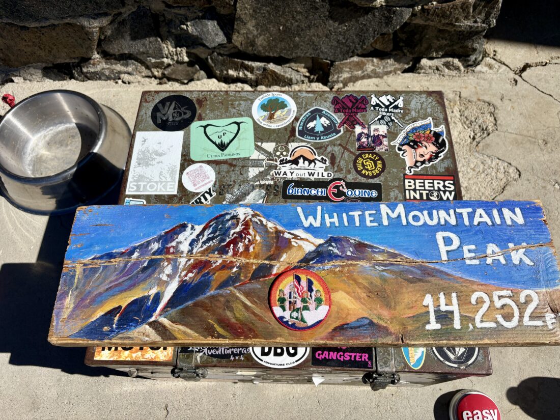
While we had seen a few snow patches off-trail from time to time, the main trail crossed a small snowfield here. The snow was still firm, and crossing it was fairly straightforward. From there, we pushed on the last 3/10th of a mile to the summit. We had made it! I slipped off my pack and relaxed in front of the research hut, while Ted photographed the views. A short time later, two more hikers joined us (one had hiked up with her dog!) The views were outstanding as we had a very clear day. We could gaze deep into Nevada to the east, and the Sierra filled our view to the west. White Mountain is the 3rd-highest peak in California and the 20th 14’er in the lower 48, at 14,252 feet. 

Once recharged after some snacks, electrolytes, and some conversation with the other hikers who had made the summit, we set off back down the mountain. We opted to skip crossing the snowfield again and took a use trail that was just before it. Apart from being mindful of our footing on the rockier parts of the road, the descent went fairly well until we hit that first steep climb after the switchbacks. Thankfully, it wasn’t too long. From time to time, we would pass other hikers making their ascents. We told them about the snowfield and the option to bypass it if they wanted to. Around the White Mountain Wilderness sign, we met a gentleman who was trying to ride his mountain bike. He was just about to turn around when the altitude and the rocky terrain proved too much. We told him to push on a bit more to the point just before the road dips down to enjoy that view, then turn back. We also passed the hikers who had left at 3 am, still working their way up.

After the climb back up to the observatory, I needed a break. So, I wandered over to the dome and slipped off my pack. I mixed up some more electrolytes and drank them down. That seemed to do the trick, and we set off back down the mountain again. While it had warmed up slightly, the breeze kept it fairly pleasant overall. Soon, the trailhead came back into view, and our epic adventure was complete. We changed into some clean clothes, enjoyed a cold Coca-Cola, and then repacked the Outback for the long drive home. Once we reached Lone Pine, we stopped at The Pizza Factory for a late lunch. I logged the hike at 15.25 miles in 8:16, with a total elevation gain of 3,178 feet. 

Buy Me a Coffee at ko-fi.com

I am an avid peak bagger, sometimes backpacker, and former sea kayaker living in San Diego. I am the co-author of Urban Trails: San Diego, available now!

In 2019, I became the third person to complete the San Diego 100 Peak Challenge. Not stopping with that accomplishment, I set my sights on the harder San Diego Sierra Club 100 Peak list, which I completed in 2021. In addition, I have conquered several Six-Pack of Peaks challenges (SoCal, San Diego, Central Coast, and both the Arizona-Winter and Arizona-Summer).

I am looking forward to exploring new summits and new adventures across the southwest. 

Hiking the Methuselah Trail

High up in the mountains above Owens Valley, a 45-minute drive from Big Pine, California, sits the Ancient Bristlecone Pine Forest. Ted and I drove up the winding White Mountain Road, about 10 miles from CA 168. Our plan was to stop at Schulman Grove and hike the Methuselah Trail in order to acclimatize a bit before attempting to hike up White Mountain the next day. Along the way, we made a brief stop at Sierra View Vista and walked the short trail to take in the expansive views of the Sierra. I continued driving up the paved road, climbing just over 10,000 feet in elevation. We stopped at the Ancient Bristlecone Pine Forest Visitor Center and showed our pass to the staff before hitting the trail. I had been here before and hiked the Cabin Loop Trail, but did not do the Methuselah Trail.

We left the beautiful visitor center and headed down the trail. After about 300 yards, we came to a junction. From time to time, a bench would be set beside the trail to give out-of-breath hikers a place to rest and soak up the views. Off to the east, we could see down into Deep Springs Valley, then onto the Last Chance Range, and beyond that, Nevada.

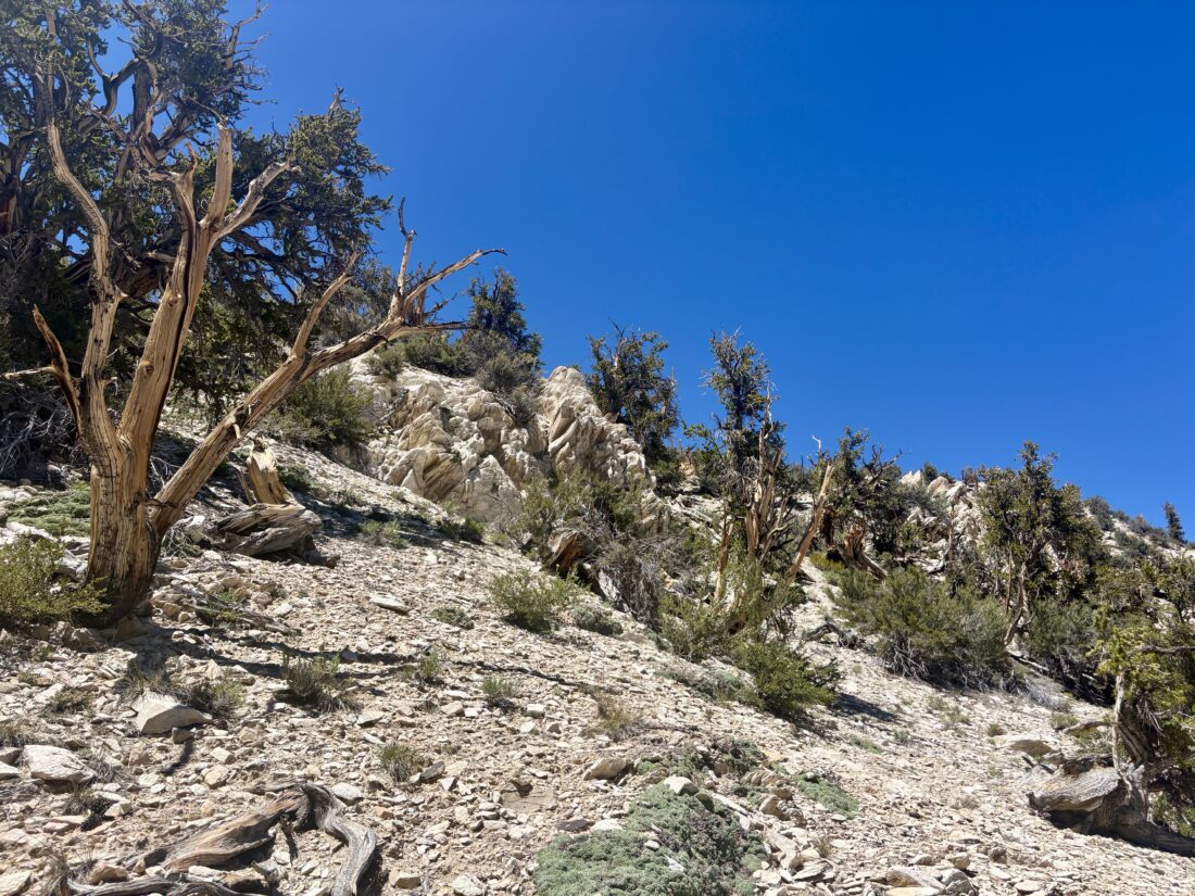
On the north-facing slopes, we would find the bristlecone pines. Since the north slopes retain snow longer, they can absorb additional moisture. In addition, there is no underbrush to compete with for the limited resources for their growth. These factors are key components to their longevity.

After descending for about 1.7 miles, we came to the Methuselah Grove. Here, the bristlecone pines cluster in large numbers, growing seemingly right out of the chalky sandstone. Somewhere in this grove is the oldest living tree, at over 5,000 years old. Some of the dead trees have been dated to over 10,000 years old. Once we left the grove, we began the climb back toward the visitor center. Neither of us wanted to take the longer route, which would have taken us along the Cabin Loop Trail, as we still had another hour of driving to our intended campsite. The entire loop was 4.1 miles in 1:58, with 643 feet of elevation gain.


Buy Me a Coffee at ko-fi.com

I am an avid peak bagger, sometimes backpacker, and former sea kayaker living in San Diego. I am the co-author of Urban Trails: San Diego, available now!

In 2019, I became the third person to complete the San Diego 100 Peak Challenge. Not stopping with that accomplishment, I set my sights on the harder San Diego Sierra Club 100 Peak list, which I completed in 2021. In addition, I have conquered several Six-Pack of Peaks challenges (SoCal, San Diego, Central Coast, and both the Arizona-Winter and Arizona-Summer).

I am looking forward to exploring new summits and new adventures across the southwest. 

PCT – Southern Terminus

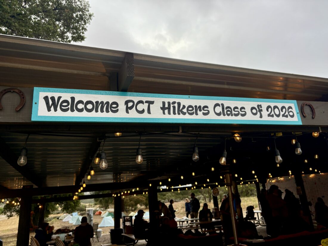
The windshield wipers danced rhythmically as we drove out to Campo and the southern terminus of the Pacific Crest Trail. Hopefully, this rain was the last bit of the storm that blew through during the evening. My friend Sara was here to fill in a few gaps from her 2018 thru-hike. We parked at CLEEF and grabbed our gear. I was just day hiking with her, as I was unable to secure an overnight permit in the Cleveland National Forest. Hikers milled about, some enjoying their pancakes, others scrolling on their phones, each about to start along a journey that would transform them in ways unknown. We hiked down to the monument, took a few photos, and began walking northward. A new fence kept us from the actual border wall, which was also now topped with razor wire.

The skies were still dark, so our rain gear stayed on as we began our journey northward.  I had been to the terminus before, but never hiked this section of the PCT. Soon we passed the 1-mile marker, just over 2,649 more miles to go until the Canadian border. We cruised along, chatting about all sorts of things, her various other thru-hikes, all things Star Trek, and more. The next milestone was at the 3-mile mark, crossing the railroad tracks. At 4.4 miles, we stopped, and Sara filtered some water from the small stream. The day had warmed enough to shed a few layers before we began climbing.

Since I could not camp unless we made it the full 20 miles to Lake Morena, I had to decide when I was going to turn back. I certainly wasn’t going to descend into Hauser Canyon, only to climb back out. Around the 7-mile mark, we found a nice spot for a snack, and I made the call to head back. Sara pushed north, and I headed south. Along the way, I meet some other folks beginning their PCT experience. Once back at CLEEF, I sat around for a bit, loaning a tool for one hiker to repair their tent, listening to two more try to lighten the load of one of their packs. Soon it was time to head home. Sara texted me later that day that she had reached Lake Morena and enjoyed some trail magic before turning in. Maybe next year I might actually backpack this section…. All told, I hiked 13.5 miles in 6:56 with 1,296 feet of gain.


Buy Me a Coffee at ko-fi.com

I am an avid peak bagger, sometimes backpacker, and former sea kayaker living in San Diego. I am the co-author of Urban Trails: San Diego, available now!

In 2019, I became the third person to complete the San Diego 100 Peak Challenge. Not stopping with that accomplishment, I set my sights on the harder San Diego Sierra Club 100 Peak list, which I completed in 2021. In addition, I have conquered several Six-Pack of Peaks challenges (SoCal, San Diego, Central Coast, and both the Arizona-Winter and Arizona-Summer).

I am looking forward to exploring new summits and new adventures across the southwest. 

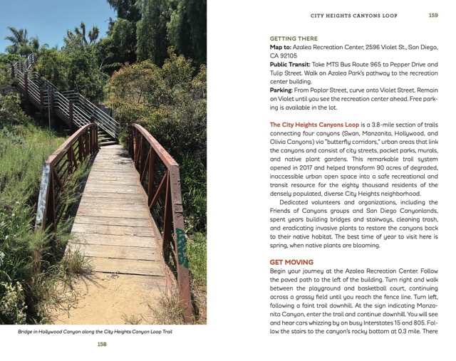
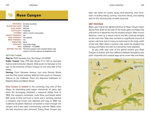
Urban Trails: San Diego Update!

The book’s formal release is fast approaching, and I wanted to let everyone know of some upcoming events.

Warwick’s La Jolla

4/19 1:00 – 3:00 PM

Come chat with Chris and Susie and get your copy of Urban Trails: San Diego signed!

Details

Helix Brewing Company

4/22 (Earth Day) 6:30 pm

Come grab a pint and hear Susie and Chris talk about Urban Trails, hike challenges, and more!

Details

The Book Catapult

The Book Catapult

5/3 11:00 AM

Join Susie and Chris for a short urban hike, then a short talk and book signing.

Details

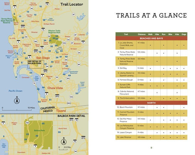
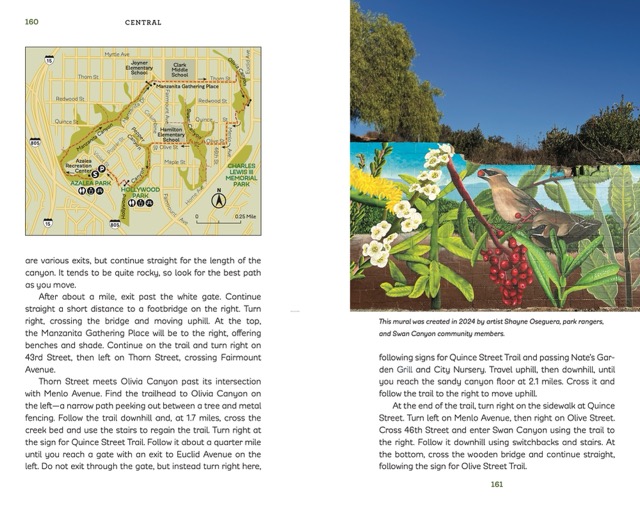
Also, here is a sneak peek from inside the book:

Taking a Wilderness First Aid Course

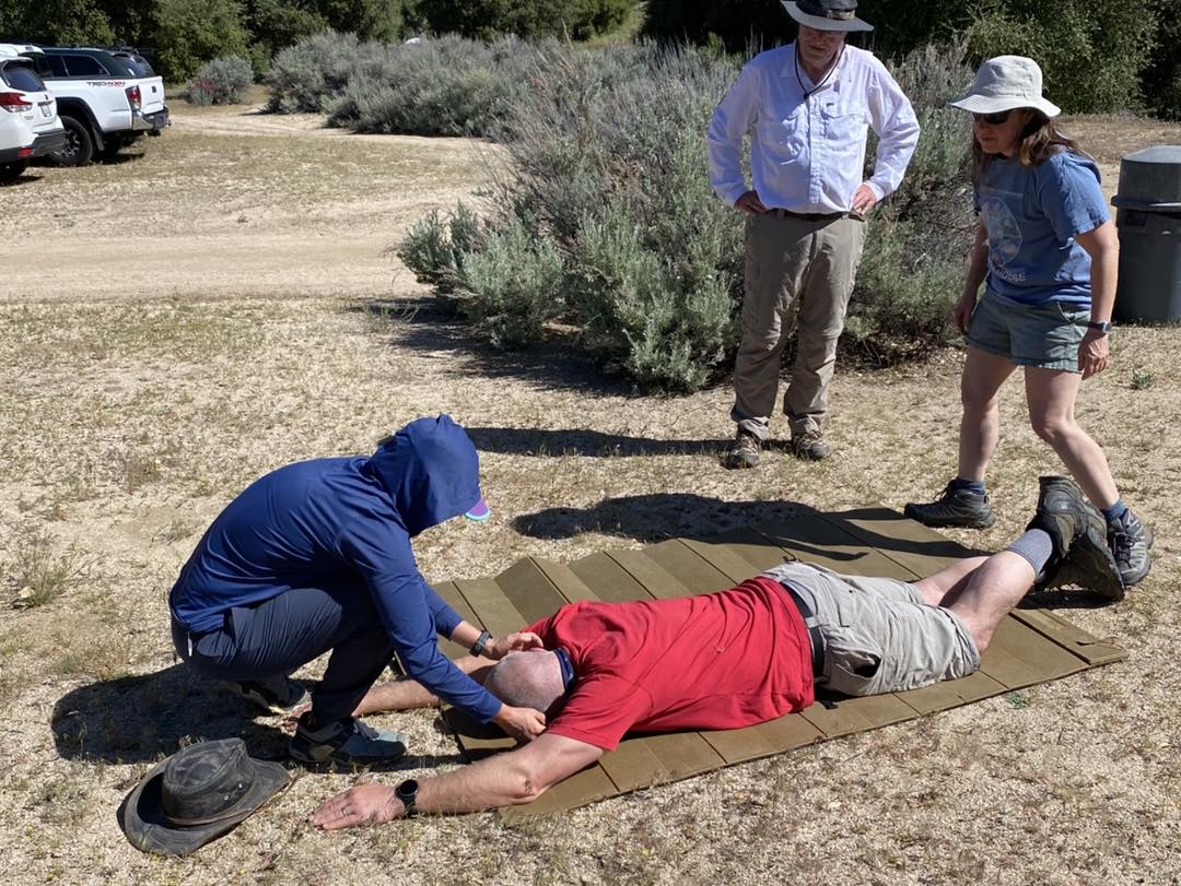
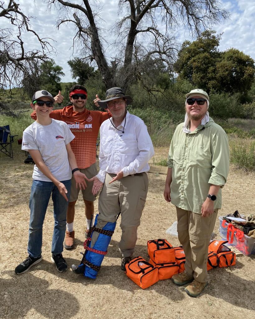
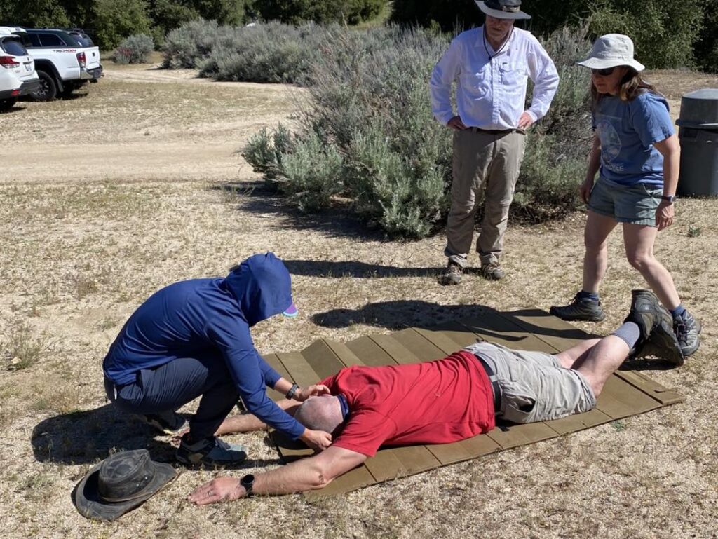
After all those miles of hiking and backpacking, I felt it was finally time to improve my first aid skills. I did have the Sierra Club Wilderness Basics book loaded on the Kindle App on my phone as a reference, but some practical knowledge is always the best. I can’t always hike with a doctor… So, I signed up for a 16-hour wilderness first aid course through my friends at Kit Fox Outfitters. The course was being held out at the Broken Oak Ranch, near Warner Springs, over Mother’s Day weekend. Class began at 8 with the usual filling out of forms before Colin began teaching. The class was a mix of Boy Scout troop leaders who would be guiding their packs along various trips, a filmmaker setting off on his motorcycle down to Patagonia, and a mishmash of other outdoor adventurers.

Unfortunately, an early-season heat wave had descended upon us, so we all sought out shade under the oaks while we listened to a fire hose of information being given by Colin. From time to time, we would leave our camp chairs and work through some real-life scenarios along the sandy washes, trails, and hilltops of the ranch. After a solid 8 hours of class, the first day came to a close. 

Originally, I had planned to car camp out at the Broken Oak, but the thought of dealing with the heat was not appealing. So, I drove on home to a hot meal, a soft bed, and air-conditioning.  The next morning, I made the oh-so-familiar drive back to Warner Springs for the second day of class. We were joined by David, another instructor, to continue diving into how to manage first aid in wilderness situations. On the first day, we had done our CPR training, and today we had our EpiPen training (like I needed that, given my son has one). We had a few more hands-on scenarios making splints, make-shift litters, and dealing with a multi-person incident. After our final “test”, our course was complete and we had all passed. We said our goodbyes, ready to venture into the wilderness with a bit more confidence.


Buy Me a Coffee at ko-fi.com

I am an avid peak bagger, sometimes backpacker, and former sea kayaker living in San Diego. I am the co-author of Urban Trails: San Diego, available now!

In 2019, I became the third person to complete the San Diego 100 Peak Challenge. Not stopping with that accomplishment, I set my sights on the harder San Diego Sierra Club 100 Peak list, which I completed in 2021. In addition, I have conquered several Six-Pack of Peaks challenges (SoCal, San Diego, Central Coast, and both the Arizona-Winter and Arizona-Summer).

I am looking forward to exploring new summits and new adventures across the southwest. 

Exploring the Santa Rosa Plateau

I decided to explore a bit more of the Santa Rosa Plateau and hike out to see the vernal pool and the Rancho Santa Rosa Historic Area. There was only one car in the parking lot when I pulled in. I paid my $6 use fee and set off along the trail. The grasses were still green, and clumps of poppies could be seen scattered about. The flowers were still closed, awaiting the morning light to open them up. Hopefully, on my return, I can get a good photo or two.

The large vernal pool was about 0.6 miles due east of the trailhead. A boardwalk allows you to walk closer to the actual vernal pool. In the distance, I spotted two herons. I left the vernal pool and headed down to the Moreno and Machado Adobes, the two oldest standing structures in Riverside County.  The trails are very well maintained, with each junction well-signed, and from time to time, benches were placed so you could sit and enjoy the view.

Once there, I strolled around the grounds and looked at the outside of the buildings for a bit. I had an 11 am meeting I needed to attend back in San Diego, so I headed back to the car. Instead of taking the Vernal Pool Trail back, I opted to take the Transpreserve Trail back to the car. Along the way, I spotted a balloon off in the grass, so I carefully left the trail and picked it up.

Soon, I could see the trailhead, and as I had hoped, the poppies had started to open up. I snapped a few photos and headed home. The entire hike was 3.65 miles and had 339 feet of elevation. There are some more trails around the preserve that I’ll try to explore soon.


Buy Me a Coffee at ko-fi.com

I am an avid peak bagger, sometimes backpacker, and former sea kayaker living in San Diego. I am the co-author of Urban Trails: San Diego, available now!

In 2019, I became the third person to complete the San Diego 100 Peak Challenge. Not stopping with that accomplishment, I set my sights on the harder San Diego Sierra Club 100 Peak list, which I completed in 2021. In addition, I have conquered several Six-Pack of Peaks challenges (SoCal, San Diego, Central Coast, and both the Arizona-Winter and Arizona-Summer).

I am looking forward to exploring new summits and new adventures across the southwest. 

Hello, Mount Hollywood

Besides my love of hiking, I also have a passion for space, particularly crewed capsules. In fact, I also run American-spacecraft.org, which catalogs the locations of the various spacecraft. Recently, the three capsules on display at the California Science Center in Los Angeles were temporarily moved to a new gallery and shown without their usual protective enclosures. I wanted to drive up and photograph them for the site.

The Mercury-Redstone-2, Gemini 11, and the Apollo-Soyuz Test Project capsules

Since I was in the LA area, I also decided to do a hike. I opted to hike up Mount Hollywood in Griffith Park, which was not too far away from the museum. I arrived near the Trails Café and found parking along the street. I gathered my waist pack and poles and set off up the East Observatory Trail. This moderately steep trail works its way up toward, as you might guess, the Griffith Observatory. (FYI, no relation to that Griffith).

From there, I walked across the parking area to the Charlie Turner Trailhead to begin the second portion of the climb. I could see the summit from the parking lot. Tourists milled about, snapping photos with the Hollywood sign behind them, or next to the memorial for James Dean. Carefully crossing the road, I took the trail to start the second portion of this climb. Following the wide trail, it worked its way around the mountain with a gentler grade than the first section. Along the way, I quickly stopped at the Tiffany & Co. Foundation Overlook for a nice view of that famous sign. From there, I continued upward, passing Captain’s Roost, one of three folk gardens in Griffith Park, before reaching the actual summit (aka the Tom LaBonge Panorama). I snapped a few photos, but the west side of LA was still pretty fogged in, and the rest of LA had a bit of haze as well. I need to come up here on a good Santa Ana day.

I retraced my route down to the Observatory. I wanted to pop in and see if a friend was working, but they are closed on Monday. Instead of taking the East Observatory trail back to the car, I opted to take the West Observatory trail instead. Both rejoin right where I parked, so it was not an issue. I stopped off at the Trails Café and enjoyed a cold iced tea and part of a delicious chocolate chip cookie. With another peak crossed off the Lower Peaks Committee list, I changed my shirt and shoes and made the 30-minute drive to the museum to see those capsules. The actual hike was 5.31 miles with 1087 feet of gain that I covered in 1:45. There is one more LPC peak in Griffith Park, so I will be back soon. 


Buy Me a Coffee at ko-fi.com

I am an avid peak bagger, sometimes backpacker, and former sea kayaker living in San Diego. I am the co-author of Urban Trails: San Diego, available now!

In 2019, I became the third person to complete the San Diego 100 Peak Challenge. Not stopping with that accomplishment, I set my sights on the harder San Diego Sierra Club 100 Peak list, which I completed in 2021. In addition, I have conquered several Six-Pack of Peaks challenges (SoCal, San Diego, Central Coast, and both the Arizona-Winter and Arizona-Summer).

I am looking forward to exploring new summits and new adventures across the southwest. 

Almost There Adventure Podcast

I had an awesome time talking with Jeff Hester, Jason Fitzpatrick, and Saveria Tilden on the “Almost There Adventure Podcast” about the 100 Peak Challenge! I, along with Derek Loranger, (creator of the 100 Peak Challenge as well as a good friend) and Susie Kara, my often hiking companion (in addition to being the first finisher), talked about completing it and what that adventure has meant to us (plus other ramblings).

Hope you enjoy listening as much as we enjoyed recording it. 

Listen here

Planning…

Well, since I just finished the 100 Peak Challenge, I thought I would offer some guidance to those who might be looking to attempt it in some fashion. I was able to complete it with a combination of luck and planning. Now, I can’t help you with the luck part but I can go into detail about my planning. Two factors that will have the most impact on how you do this challenge are the weather, specifically for those hikes in Anza-Borrego, and the difficulty of the hike. Remember just because the mileage is low, it does not mean those are easy miles (either of the Sombreros come to mind).

When I knew my first attempt at completing this challenge was not going to happen (due to my final peaks all being in the desert and it becoming too warm to safely hike them), I took a look at the peaks I would need to revisit. I grouped the 100 peaks into three categories: desert, in-town and general. The desert hikes were pretty self-explanatory. In-town hikes were any hike that it took less than 1 hour to get to the trailhead. General hikes were all the rest. Since the desert window had closed until the fall for me, I focused on the general hikes on the weekends, and the in-towns were before or after work, or if a full hiking day wasn’t possible. During the first attempt, I did many of these on the weekends. Now that I knew the trail, the difficulty, and was in better shape, I tried not to ‘burn’ precious weekends on them.

Another thing I was able to do was summiting multiple peaks in one day. While some are natural doubles, Lawson and Gaskill for example, once you know where the trailheads are, along with what the trail is truly like, you can start to combine them. For example, Manza Benchmark and Sheephead Mountain are about 10 minutes apart by car. But with a nice breather in between, these are doable in a single outing. Another thing I did was to have backup peaks ready to go. Routes loaded on my phone, paper maps printed and extra food and water. Sometimes a peak might not be doable, and/or if you are lucky you might be able to squeeze in a second or a substitute.

If you are starting the challenge now, I would focus on peaks out in Anza-Borrego. For some, desert hiking is scary, and often these peaks have no trail and take more skill than hiking up Iron Mountain or any of the more popular peaks. Here is what I would recommend cutting your teeth on:

Borrego Mountain – West Butte: Great trail to the top, easy to drive to (you get some intro to dirt driving). 

Ghost Mountain: A good trail to the homestead, then you get to test your navigation skills to the summit.
Mine Benchmark: Once you are ready for some trail-less desert adventures, this short hike is a good one.

Red Hill: The trailhead is right off S-2 and the route is pretty easy to follow.

Once you are more comfortable in the desert you can start in on some of the others, such as:

Sentenac Mountain: A bit of canyoning and dry waterfall before reaching the summit.
Piedras Grandes: A good intro into some of the terrain on other peaks.

Indian Hill: A good intro into working through larger boulders.

However, Anza-Borrego is also home to some of the tougher peaks on this challenge. Know that there are some that will certainly test you…

For the general peaks, the temperature is still a factor. There were several times I turned back from a summit due to the heat (during my first attempt). Knowing this will factor into your planning. There were many days with sunrises at the trailhead. I would recommend trying to get more of the inland and lower foothill peaks in the spring. One thing about many of the trails is the lack of shade, so you will feel the sun. Good examples of peaks that fit into this category are Mt. Gower, Monserate, and Gutaty. Another factor to be aware of is the hunting season. I had to be a bit more aware of my surroundings on some peaks near Julian during the hunting season.

If you are like me, you probably have done the ‘in-town’ hikes more than once. I tried to find ways to do them differently. Sunset hikes or full moon hikes are good examples of this. Plus, you can get some experience using a headlamp, it will be needed for some of the tougher ones. Also, look for alternate routes, remember it is only the summit that matters, not the trail.

Hope this helps some. Please feel to reach out and ask questions. All my routes are on peakbagger.com, so you can use them as a reference.