Conquering Mt. Whitney

Between semesters, I secured a permit that let me start at Cottonwood Pass/Horseshoe Meadows and exit via Whitney Portal. As the start date began to draw near, I turned my attention to the forecast. Unfortunately, the forecast for the first couple of days didn’t look good and was trending in the wrong direction. My plan was to leave San Diego early in the morning, drive to Lone Pine, park at the long-term parking lot that is run by the Chamber of Commerce, grab a sandwich, then take a shuttle up to Horseshoe Meadows. However, that would have meant starting my hike just as the predicted weather began to unfold. Hiking up and over a mountain pass is the last thing I wanted to do. I kept checking the forecast and talking with friends who have more backpacking experience. I know afternoon showers/thunderstorms are common in the Sierra in the summer, but this was more than I wanted to deal with. So I canceled the permit. However, another permit became available for Friday! I hopped on it as fast as I could. I made one small change: I added an overnight at Outpost Camp, just in case I needed to stop before I reached Whitney Portal. The rest of the trip remained the same.

Day 1: Horseshoe Meadows to Chickenspring Lake

I tossed my backpack and a change of fresh clothes for after into the car and set off in the pre-dawn toward Lone Pine. After a gas stop at Costco and breakfast from McDonald’s, I had little traffic as I drove northward. After picking up a sandwich from Jersey Mike’s, I then stopped at the Chamber of Commerce to pay my parking fee ($5/day). I met my shuttle driver next door at Elevation. If you’re looking to hire, text Daniel at 970-291-3980. We made the 40-minute drive up to Horseshoe Meadows. His partner, Daphne, is a photographer in Lone Pine with an amazing eye. We could see the effects of the rainstorm by the streaks of dirt running across the road. At the trailhead, I found a picnic bench to have my lunch. A couple from the Netherlands came over and asked if I was planning to use this site. I told them I was just borrowing the table, and they were free to start setting up their tent. We chatted a bit about our upcoming hikes. They were doing a section of the John Muir Trail (JMT). After I finished lunch, I bid them good luck and wandered over to the actual trailhead. I had backpacked up to Chickenspring Lake before, so I knew what the 4.5 miles had in store for me.

I cruised past the meadow, then over the creek before really starting to make my climb up Cottonwood Pass. I could tell the difference in my ability between my previous time and this one. Once at the pass, I took a break and soaked in the views to the east. I was now hiking northbound on the Pacific Crest Trail (PCT) toward Chickenspring Lake. Once there, I scouted a few campsites before finding one I liked. The forecast did have 10-15 mph winds, so I wanted something with some shelter. I even brought my REI QuarterDome tent to handle it better. As the sun began to sink, I ate my Chicken Tikka Masala from Bowl and Kettle while enjoying the view of the lake. I settled in for the evening, enjoying a chapter in my audiobook.

Day 2: Chickenspring Lake to Rock Creek

I woke around dawn and had my oatmeal and some hot coffee. Thankfully, the wind stopped at sunset and the entire night was peaceful. I broke camp and set off toward Rock Creek. The trail first climbed a bit, but it offered nice views of the lake, and I could easily see the campsites on the west side. For the next 9 or so miles, I mostly descended. One section was a bit sandy, but the recent rains made it a tad less loose.

 I took a short break for some snacks and electrolytes at about the 4-mile mark. Along the way, I could see various campsites that PCTers probably use. The challenge for me was that there was no water between Chickenspring Lake and Rock Creek, so I had almost 3 liters on me.

From time to time, I would meet some southbound PCTers (SOBOs). Some were section hiking, while others had started at the Canadian border. As the miles ticked away, I started to feel the effects of the day. I walked into Rock Creek, found a shady site, and made camp. I found a nice spot to have lunch, listening to the creek flow by. I was a bit concerned about my legs. This was also how I felt last year up here. Rock Creek was also my Go/No-Go point. If I continued, I was committed to hiking at least to Trail Junction, as I didn’t have enough food to turn back from Guitar Lake. A ranger station was here, and it was staffed. The ranger came by and checked my permit. We chatted about my situation, and he suggested that I try hiking up Guyot Pass in the morning. It is just under a mile, and I would probably know how my legs were doing. If they felt good, continue on. If not, he said to turn back and head to Soldier Lake instead of Chickenspring Lake. All the sites are on a peninsula, and it is closer as well. He also said I might be able to try for Mt. Langley instead. That gave me some solid options and lifted my spirits. I chatted with two hikers from the Czech Republic who were starting the JMT, and a gentleman from LA who was also doing the same route as me. I ate my dinner, stored some things in the bear locker, and drifted off to sleep.

Day 3: Rock Creek to Guitar Lake

I woke the next morning feeling pretty good, so I knew that I had just not drunk or eaten enough the day before. Since I was mostly descending, I incorrectly took it too lightly, forgetting the altitude and heavy pack. Another adjustment I made was to turn on announcements from my tracker to help keep me at a measured pace.

I crossed the creek without incident. Videos I watched from early-season PCTers showed them making a traditional water crossing. The trail wastes no time in beginning its climb. Thankfully, this trail is stock-graded, so it never became too bad. At the pass, I took a break and knew my journey would continue toward Mt. Whitney. However, I want to look at Soldier Lake for a future trip.

Today’s hike would have me steadily climbing first toward Crabtree Meadow, then onto Guitar Lake. More SOBOs passed me as I hiked along. I started to feel a bit off as I drew near Crabtree Meadow. I finally pulled out my phone to see how much farther I had to go, or whether I had my lunch here. I was close enough, so I pushed on and promised myself a longer break.

Before I made my lunch, I started filtering water. Unlike the day before, I had much more access to water and carried less today. But I wanted to make sure I stayed hydrated, and I was getting higher and higher, so I needed to keep drinking. I sat by a bear locker and ate my lunch under the shade of a tree. After lunch, I stashed my pack in the locker and used the “famous” Crabtree toilet.

Now my path would transition from the PCT onto the JMT. I had another 3 miles to reach Guitar Lake, my destination for the night. What’s interesting is that PCT hikers have to camp here, while JMT hikers or permit holders like me are allowed to continue. I also started to feel more of the altitude as I left the tree line behind. As I stared eastward, I began to see what tomorrow’s challenge looked like. I didn’t want to camp at Guitar Lake proper, but about 1/2 mile farther was a small tarn where I hoped to find a camp spot and water. As I reached it, I found an incredible spot and the tarn still held plenty of water. To my east stood Mt. Whitney. The reality of tomorrow’s hike was staring me in my face. A few others camped nearby, and I joined them for dinner with my Crawfish Etouffée, again from Bowl and Kettle, and chatted about our plans for the next day. I had decided I wasn’t going for a sunrise summit. Instead, I wanted to see the basin in the morning light and not worry about hiking the rocky trail under my headlamp. They said they were going to try for sunrise and would try to be quiet. I let them know I am partially hearing impaired, so no worries. Some clouds had drifted in, so I decided not to even try for any astrophotography.

Day 4: Mt. Whitney

I did hear them a bit, and the flash of headlamps passing by disturbed me, but I drifted back to sleep. I still wanted an early start, and my alarm went off at 4. I ate some oatmeal, filtered more water, and packed up. Like day 2, most of today’s hike would be dry, so I had a full water load on my back. While I was finishing filtering my last liter, I forgot to adjust the filter, and it was flowing extremely slowly. I opted to just strap the CNOC bag to the top of my pack and worry about it later. I glanced east and saw the glow of headlamps making their way toward the summit. In a few hours I hoped to be following in their footsteps.

Today’s hike could be broken into three parts: the 2.5 mile climb to Trail Junction, the 1.9 miles to the summit (and the 1.9 back to Trail Junction), and finally the long descent to Whitney Portal. Unlike my friends Rick and Andrea, who inspired this route for me, they didn’t exit via the portal; they hiked all the way back to Horseshoe Meadow. That meant they were going to leave all their backpacking items at Guitar Lake. Since I was going up and over, my pack was full. My plan was to pull out my pack liner and any gear I didn’t need for the summit push and leave it at Trail Junction. This is a very common practice. I adjusted my packing order to make this process easier.

The morning was cold, and a bit of a breeze blew as I set off under my headlamp. I wore a thermal layer under my pants, a beanie, a base layer, a fleece, and my puffy. I tucked away my regular sun gloves and wore full gloves to keep my fingers warm. The trail quickly started climbing, and I soon tucked the puffy into my pack. Water flowed on the trail in several sections, but was never deep enough to soak my shoes or socks.

Thankfully, the trail eased, and my anxiety did as well. Daylight began to spread across the basin, and I turned my headlamp off and stowed it. The clouds were a pink cotton candy, while the mountains had the alpenglow. The trail kept climbing; switchbacks carried me ever closer to my first milestone.

At Trail Junction, packs were scattered along the trail. I found a spot and pulled out my liner. I took a short break, but wanted to keep moving toward the summit. My pack felt almost weightless on my back. All I carried was my filtered water, snacks, and my safety gear.

As I made my way northward, the views to my west were stunning. I could see the tarn where I camped, as well as Guitar Lake. The trail to the summit was rocky, and I had to watch myself as I slowly pushed on. I met the folks I had dinner with on their descent. Soon I came to the windows, gaps between the needles. These sections are very exposed. Thankfully, the wind was light, and I had no issues crossing them. But I certainly could see where this could pose a problem for some. This was also the first time I could really see the eastern side. Way below me was Trail Camp, Consultation Lake, and the rest of my exit route. But no time to focus on that; I still had a summit to achieve.

Soon, I left the needles behind and headed onto the slope that would lead me to my destination. Before long, the Smithsonian Hut came into view, and I knew I had made it! I stopped in the hut for a moment, then went out onto the summit edge. I slipped off my pack and soaked in the view. I was now standing on the highest point in the lower 48! A few others were here, and I got my photo holding one of the metal signs.

I inspected the various benchmarks before settling down for a snack. It was a bit surreal to be here. The weather was almost perfect, just a light breeze, cool but not cold, and hardly a cloud in the sky. After about 45 minutes, I decided to head down, as I still had a long descent ahead of me. I signed the register and said my goodbyes. I thought of my sister and wished I could have shared this with her; her memorial patch would have to do.

Now it was my turn to step aside as hikers made their way up. Once back at Trail Junction, I repacked and had another snack. I still had enough water, and in a couple of miles access to more, so I dumped the liter of dirty water I had carried up. Unfortunately, leaving Trail Junction had a short climb to Trail Crest. Did this section hurt! After carrying a light pack for the past few hours, all that weight felt like it magically doubled. Thankfully, the Trail Crest sign came into view and marked the end of this torture. I was also entering the “Whitney Zone”. This is a section of Inyo Forest that requires a special permit. Since I had selected Whitney Exit, I could enter. 

Just past Trail Crest is when the famous 99-switchbacks begin. I opted not to count them and trusted someone else had done it for me. I passed the cables, which are about halfway down. This section of the trail has an overhang and often keeps snow and ice well into summer. That was not an issue today. I also passed the spring that was still flowing across a portion of the trail. If I was coming up from the Portal, I would have kept my water load lighter and filled here. I was in good shape water-wise, and continued on down. I had already shed all my top layers and even switched back to my lighter sun hoodie.

t the end of the switchbacks, I found some shade and took a break. I finally took off my lower layer, too. I passed through Trail Camp and a few tents were scattered about. I turned back and looked back up the switchbacks, the needles, and toward the summit. The fact I was just there had not fully registered. The trail was still pretty rocky, so I was having to watch my footing, especially with a backpack. Unfortunately, I misstepped and took a slight tumble. I scraped up my left palm and pinky (and a bit of pride). I was starting to feel a bit beat, and this didn’t help. I was also getting concerned about exactly when I might reach Whitney Portal and be able to get a hitch down to Lone Pine. My shuttle driver worked the second shift and couldn’t pick me up. So I decided to stay at Outpost Camp. I had included it in my permit, so that wasn’t an issue. While I didn’t have a proper dinner left, I had planned for plenty of snacks I could use earlier if needed. I found a spot off the trail, and quickly set up.

I quickly got the water filtering and relaxed, reflecting on the day. The high cliffs made satellite comms troublesome, but I updated Anita and confirmed the shuttle. I finished the movie I had been watching and then turned in. Soon after midnight, the first glow of headlamps bounced by. Day permit hikers were beginning their journey. Around 5, I woke up and broke camp. I still had about 3.8 miles to go and hoped to reach the Portal store for their famous pancake. My shuttle was scheduled for 9, so I should be in good shape.

Day 5: Outpost Camp to Whitney Portal

I had hiked this far before several years ago, and it was starting to come back. The trail became less rocky, and I cruised along. I passed some backpackers starting their hike up to Trail Camp and some day hikers who didn’t want to start in the dark. I crossed the logs and knew that the end was coming soon. Although I could see the road for a while, the parking lot finally peeked out from under the trees.

As I passed under the trestle, I had completed my trek. After a stop at the facilities, I walked off to the Portal Store ready to order breakfast, only to discover they open at 9! I guess I’ll try the Alabama Hills Café later. I had a little signal and called Anita while I waited for the shuttle. I had some more snacks as I sat outside. Soon Daniel pulled up, and we headed down the hill. We chatted about being a shuttle driver, among other things. He dropped me off at the parking lot, and I thanked him for his help. Not worrying about a bear getting into my car at either trailhead made the cost worth it. I tossed my pack into the car and changed into some clean clothes before heading over for breakfast. I also stopped by the Chamber of Commerce and paid for the extra day. After a delicious meal, I turned the Outback south onto the 395 and headed home. While the trip had a challenge or two, I overcame them and finally summited Mt. Whitney!

SectionMileageElevation GainElevation Loss
Horseshoe Meadow to Chickenspring Lake
4.45

1,329

11
Chickenspring Lake to Rock Creek9.533152,111
Rock Creek to Guitar Lake10.22,838823
Guitar Lake to Mt. Whitney4.062,67426
Mt. Whitney to Outpost Camp5.89954,065
Outpost Camp to Whitney Portal3.8102,027
37.947,2519,063

Buy Me a Coffee at ko-fi.com

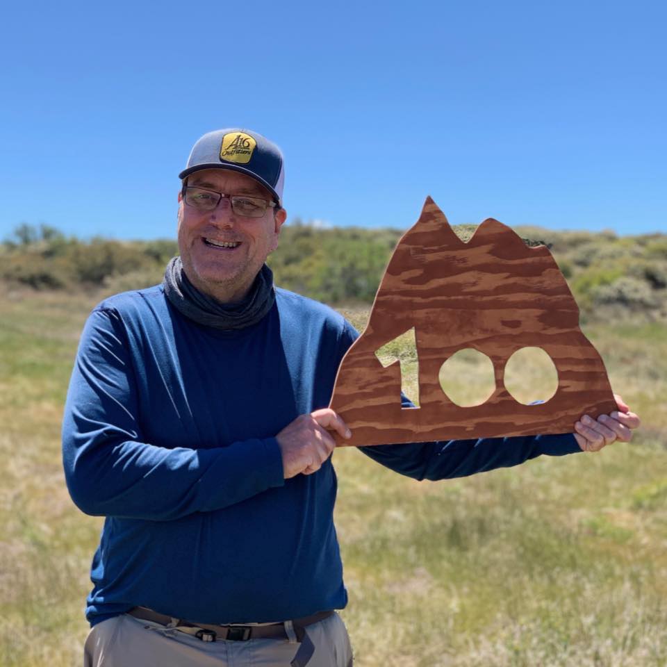
I am an avid peak bagger, sometimes backpacker, and former sea kayaker living in San Diego. I co-authored Urban Trails: San Diego, available now!

In 2019, I became the third person to complete the San Diego 100 Peak Challenge. Not stopping with that accomplishment, I set my sights on the harder San Diego Sierra Club 100 Peak list, which I completed in 2021. I’ve also conquered several Six-Pack of Peaks challenges (SoCal, San Diego, Central Coast, and both the Arizona-Winter and Arizona-Summer).

I look forward to exploring new summits and adventures across the Southwest. 
Backpacking to Pear Lake – Sequoia National Park

Back in 2024, I had planned to hike the Lakes Trail to spend the night at Pear Lake. Unfortunately, smoke from the Coffee Pot Fire blanketed the region, making the trip unhealthy. Fast-forward to 2026, and I won the permit lottery for the Rae Lakes Loop, another backpacking trip high on my to-do list. But life threw another curveball. Originally, I wasn’t planning to take any classes this summer, so I would have had time to travel from San Diego to Kings Canyon and spend five days/four nights doing the Rae Lakes Loop. But since I did enroll in a class, I could no longer afford that much time away from my studies. So I opted to try the Lakes Trail again, gambling on scoring a walk-up permit. I left Monday afternoon, drove to Bakersfield, and used some Marriott points to score a free room. The next morning I drove up to Sequoia National Park. According to the website, permits are released at 1 pm at the Wilderness Station at the Lodgepole Visitor Center, so I had a little time to explore some of the park before I headed over. I decided to rehike the Congress Trail and marvel at the giant redwoods. After enjoying the loop, I headed to the permit station and got a permit a bit early. In chatting with the ranger, I asked for his recommendation for the afternoon. He suggested that since the weather was pleasant, driving to Kings Canyon might be worth it. I needed to get my National Park Passport book stamped for Kings Canyon anyway, so that sealed the deal.

I drove up the Generals Highway, keeping an eye out for possible campsites I might try to secure for the evening. At Grant’s Grove, I stamped my passport book and had lunch at the restaurant before driving down into Kings Canyon. I felt a bit sad, as this was the same route I would have driven if I had started the Rae Lakes Loop. To the east, I could see clouds building over the mountains, forecasting classic afternoon thunderstorms. I wanted to hike Zumwalt Meadow again, but as I neared the trailhead, rain began to fall. So much for that plan. I got a second stamp from the Cedar Grove Visitor Center and made my way back toward where I would camp for the night. I considered hiking Buena Vista Peak, but decided to skip it and save my legs for tomorrow’s climb. I turned on Big Meadow Road (14S11) and began looking for a possible campsite. Since this was actually Sequoia National Forest, dispersed camping is allowed. I also knew there was a campground further down the road with first-come sites. I drove past the staging area for the winter trailhead, and followed the paved road for a bit. I passed a large motorhome parked at one spot, then another camper off to the side. I came to Horse Corral Road and turned there. I found one spot that looked fine, but decided to explore some more before setting up camp. I stopped at another one which was a bit more secluded, but since I had time I opted to drive some more. Then I came to a really nice one. It looked very level and had a nice eastern view. A nice rock fire-ring was there, so this became my spot. I started setting up camp, and that’s when I realized I’d left my stove at home. Since it was just a rock fire ring, there was no grate to set my pot on to cook my Trader Joe’s Jambalaya (recommend). Instead, I needed to burn down some of the fire so the coals could reheat my meal. With dinner sorted, I enjoyed my meal as the sun sank behind me. I built the fire back up and relaxed.

I woke in the pre-dawn, partly due to the excitement and partly because I didn’t have window shades. I might invest in a full set one day. As I finished packing, I saw the ranger had accidentally issued the permit for yesterday. Crud. So, now I had to decide: ignore it and plead with a ranger if I was stopped, or try to fix it. I wasn’t sure when the permit station opened, but I was aiming to start after 8, and the trailhead and the station were only about 2 miles apart. I decided to swing by to see when they opened and try to fix it before setting off. After some coffee and breakfast, I finished packing up, double-checking my campfire was completely out, and drove back to Lodgepole. I arrived just as they were opening, and the ranger adjusted my permit without issue. I thanked him and set off to the trailhead at Wolverton. After storing my cooler in one of the bear lockers, I strapped on my backpack and set off. This trail is also a popular day hike, so I knew I’d see a mix of folks along the route. My pack carried some different items than during my Yosemite trip: a bear can (my BV425), some rain gear, and my REI QuarterDome tent instead of my Gossamer Gear The One. I swapped tents for two reasons: the REI tent uses a traditional pole system, so I can set it up more easily on rocky surfaces, and being double-walled, it handles rain better.

The trail immediately began climbing from the parking lot. After 0.1 miles, it turns to the east and continues its climb under the shade of the forest. From time to time, the sounds of Wolverton Creek could be heard. Along the way, I met up with a group of day hikers taking a short break. I would wind up hiking with a lovely gentleman from Visalia all the way to The Watchtower. We would cross a few flowing streams, and a few wildflowers still remained in bloom along the trail. Our route turned more north-easterly as we approached The Watchtower. This trail is only open in the summer, as a portion becomes deadly from snow and ice. An alternate route, known as The Hump, exists, but I had no plans to take it on the way out to Pear Lake. A few backpackers passed us, returning from their stay. Soon, The Watchtower came into view. The Watchtower is a unique rock formation overlooking Tokopah Canyon. I slipped off my pack and took a break. While some do climb out onto its summit, I opted to just marvel at it from where I was. After about 20 minutes, I shouldered my pack and set off. The next section of the trail was narrow and exposed. It did not bother me, but I could only imagine how my friend Ted would have disliked it. The trail joined with the bypass, and soon I reached Heather Lake. For many, this beautiful alpine lake is their destination. I was still ahead of the day hikers, so the lake was mine. No camping is allowed here, but there are plenty of spots to enjoy a snack or even lunch. 

After a short climb, I then dropped down toward the next pair of lakes. Aster Lake came into view first. This lake sits north of the trail and a bit lower. This lake also has a no-camping policy. After passing the pit toilet, I came to Emerald Lake. This lake does allow camping, and I could see a few tents scattered about at the designated site. It turns out a bear had wandered through earlier that morning, so being bear-aware was more than an academic suggestion. This site had a bear locker, located right at the junction of the main trail and the trail that takes you to the campsites. I poked around the sites briefly. I still had about 500 feet of elevation left to reach Pear Lake, and the trail grew rockier as it neared the tree line.

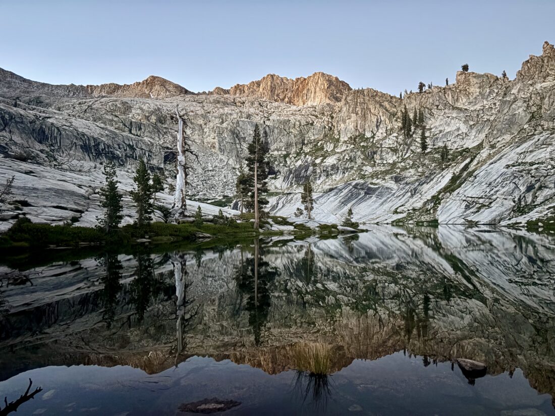
I passed the junction to the Ranger Station, wondering if it was staffed. The views were stunning as the alpine terrain became more visible. Tiny patches of snow still clung to just a few spots high upon the northern nooks of the mountains. Before too long, Pear Lake came into view. This site was absolutely stunning. A blue alpine lake tucked in this bowl, surrounded by stark rocky spires. Some folks were already there as I explored the area for a possible campsite. A map of the designated sites was posted at the toilet. Since both of these lakes get enough visitors, NPS built composting toilets to minimize the impact. I found a good spot and tossed my poles down to claim it. Nearby, a hiker was relaxing, and I started chatting with him. He had camped at Emerald Lake and hiked up here this morning. I ate my lunch and enjoyed our conversation. He packed up to head back to his campsite, and I went over to mine to set it up. Once that chore was done, I slipped off my shoes and socks and enjoyed the surprisingly warm water for a bit. Some folks had brought bathing suits, and I wished I had my sandals to make wading less painful on my feet. I spent the rest of the afternoon alternating between relaxing under the shade of a tree, soaking up the views, and wandering around the lake.

Bowl and Kettle had gifted me some meals to try, and this time I brought their Crawfish Étouffée. I accidentally forgot the couple of rolls from Pyrenees Bakery, which I had hoped to pair with it. Oh well, I guess forgetting something was going to be a theme of this trip. I cooked up my meal, and thoroughly enjoyed it as I ate along the lake shore. It is a toss-up between this meal and their Chicken Tikka Masala as to my favorite (The Mexican Street Grits is also a yummy option). My phone’s battery was getting low. I went to grab my battery to charge it, only to discover I had left my cable in the car. At this point, I was the only person at the lake. I turned my phone off to save the remaining power. I didn’t need it for navigating back to the car, but I would like to take some photos along the way. I was more bummed that I wasn’t going to do any astro-photography. 

A father and son rolled into the lake; unfortunately, they did not have a cable. They opted to set up camp on the western side of the lake, up on the hill. There, they discovered that there was indeed a bear locker at the lake even though the map did not indicate one. Right around dusk, a group of 6 came in. I chatted with them, pointing out the various options that might work for a group of their size. This was their first night on a multi-day trip into Table Meadows. As the sun set, I bid them good night and crawled into my tent. It took a bit to fall asleep, but sleep finally did come. I woke up a few times, and once the moon had set, I powered my phone back on to snap a couple of photos of the Milky Way.

I awoke again in the pre-dawn and made breakfast by the lake shore. As I sat there in just my sun hoodie and pants, I reflected on how lucky I was to be able to experience all of this. I packed up and set off down the trail. I turned my phone back on, but kept my tracking disabled to conserve power. At Emerald Lake, I chatted with a camper retrieving his stuff from the bear locker. It turns out, he was the one who saw the bear yesterday, almost right where we were standing. After a good 10 minutes of chatting, I bid him farewell, as I still had some miles to cover and a long drive home. Those miles went quickly; a slightly lighter pack and a lot of downhill helped.

I stopped briefly at The Watchtower before continuing my descent. I started to wonder when I might encounter my first day hikers, and around the junction with The Hump, I did. Then, once I passed the junction to Panther Gap, hoards of trail runners came up the trail. I lost count of how many; I would put it over 50 stretched out along the trail. It was clearly some training run for high schoolers, with a few coaches/adults from time to time. I would step aside again and again as they passed. Some were polite, others not so much. Finally, after about a mile of this, the last runner passed me. I thought it odd that there was not a coach or some adult acting as sweep, just one lone girl plodding up the trail. I passed more day hikers, and even a trio of backpackers making their way up. Soon, I reached the junction to take me back to the Wolverton Trailhead, and my trip came to an end. I recorded my time, knowing I could recreate my return track once I got home. I changed into some clean clothes, retrieved my cooler, and began the long drive home. I stopped at the Giant Forest Visitor Center for another stamp in my passport book. I mentioned to the ranger the large group of trail runners and the hikers with a dog on the trail. He rolled his eyes and sighed. Being so understaffed meant there was little they could do about either issue. I thanked him for what he could do to preserve the park and headed down the road. I stopped at the Foothill Visitor Center to get my final stamp before leaving. Unfortunately, I did not realize until I was home that I needed to swap out my Junior Ranger badge for the new wooden one. After refueling both the car and my stomach in Bakersfield, I stopped at Benji’s to bring some Basque food home for myself. The rest of the long drive was uneventful, just a lot of podcasts to pass the time. The final stats were 12.8 miles in 6:55 and 2,749 feet of gain.


Buy Me a Coffee at ko-fi.com

I am an avid peak bagger, sometimes backpacker, and former sea kayaker living in San Diego. I co-authored Urban Trails: San Diego, available now!

In 2019, I became the third person to complete the San Diego 100 Peak Challenge. Not stopping with that accomplishment, I set my sights on the harder San Diego Sierra Club 100 Peak list, which I completed in 2021. I’ve also conquered several Six-Pack of Peaks challenges (SoCal, San Diego, Central Coast, and both the Arizona-Winter and Arizona-Summer).

I look forward to exploring new summits and adventures across the Southwest. 

Exploring the Congress Trail – Sequoia National Park

Years ago, when the twins were little, our family had a vacation at the Wuksachi Lodge in Sequoia National Park. During our stay, my son and I hiked the Congress Trail.

The past few visits to the park haven’t allowed me a chance to hike this trail again. Since I had time before I attempted to get a walk-up permit to backpack to Pear Lake via the Lakes Trail, I decided that revisiting this trail would be perfect. I drove up from Bakersfield, where I had spent the night, and pulled into the parking lot for the General Sherman Tree. I grabbed my waist pack and set off down the trail.

The trail was busy, as the General Sherman Tree is one of the marquee attractions in the park. Once I reached the first junction with the Congress Trail, I discovered that this initial section was closed due to some trail maintenance. Instead, I continued just a short way further down to the next junction.

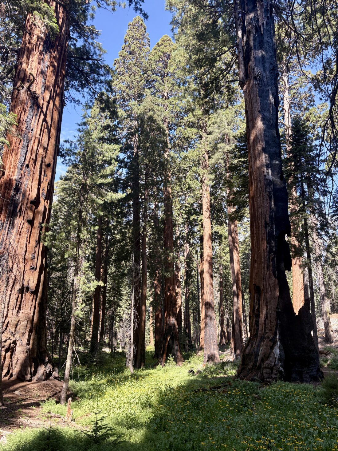
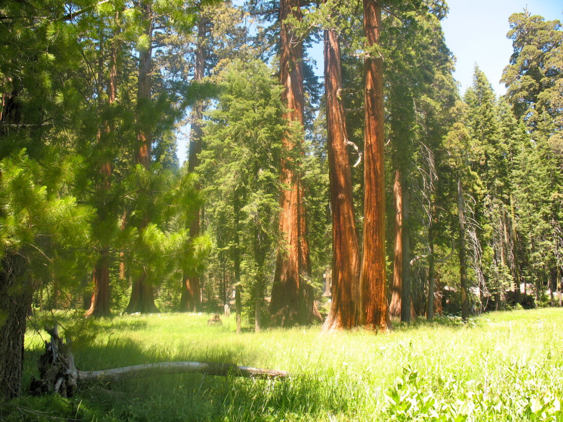
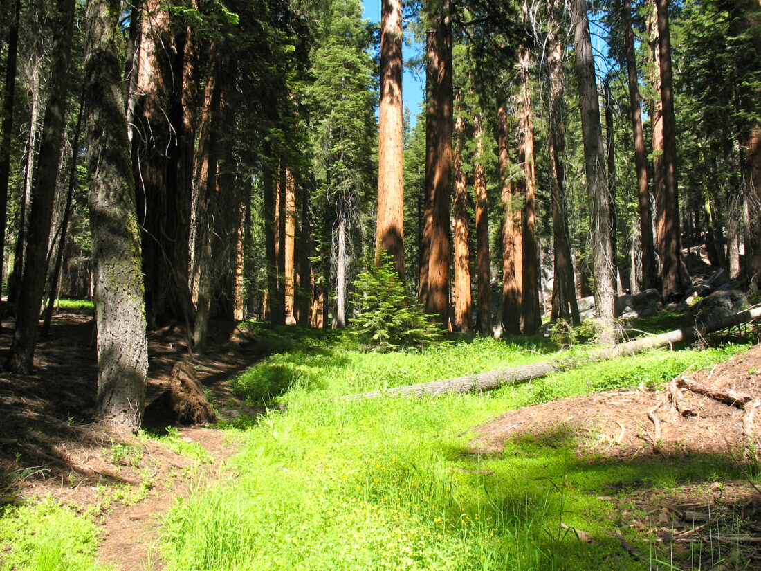
The Chief Sequoyah Tree is the 29th largest giant redwood, the 14th largest tree in Sequoia National Park, and the 10th largest tree in Giant Forest. Very close to this tree is The President, also known as the Warren Harding Tree. It is the world’s 5th largest tree, the 4th largest giant redwood, the 3rd largest tree in Sequoia National Park, the 3rd largest tree in Giant Forest, and the oldest living redwood.

A short distance past it was The Senate group and just a short walk further The House group. Together, these form The Congress Group and thus the trail’s name. As the trail turned northward back to the trailhead, I passed the McKinley Tree, named in honor of the 25th President of the United States.

The trail passed through a fallen redwood, and I vividly remembered stopping here with my son, 15 years ago. I swung by the General Sherman Tree briefly. I had no need to stand in the long line to have my photo taken in front of the “photo spot”, as I admired it from off to the side. I then made the climb back to the car. My loop was 3.05 miles long, and took me 1:12 to do. It was time to head over to the permit office and see about obtaining that permit.


Buy Me a Coffee at ko-fi.com

I am an avid peak bagger, sometimes backpacker, and former sea kayaker living in San Diego. I co-authored Urban Trails: San Diego, available now!

In 2019, I became the third person to complete the San Diego 100 Peak Challenge. Not stopping with that accomplishment, I set my sights on the harder San Diego Sierra Club 100 Peak list, which I completed in 2021. I’ve also conquered several Six-Pack of Peaks challenges (SoCal, San Diego, Central Coast, and both the Arizona-Winter and Arizona-Summer).

I look forward to exploring new summits and adventures across the Southwest. 


Buy Me a Coffee at ko-fi.com

I am an avid peak bagger, sometimes backpacker, and former sea kayaker living in San Diego. I co-authored Urban Trails: San Diego, available now!

In 2019, I became the third person to complete the San Diego 100 Peak Challenge. Not stopping with that accomplishment, I set my sights on the harder San Diego Sierra Club 100 Peak list, which I completed in 2021. I’ve also conquered several Six-Pack of Peaks challenges (SoCal, San Diego, Central Coast, and both the Arizona-Winter and Arizona-Summer).

I look forward to exploring new summits and adventures across the Southwest. 

Big Trees Trail

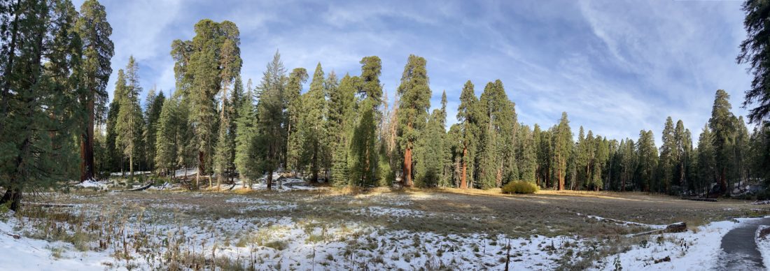
With the road closures due to the snow, we were a bit limited in where we could explore Sequoia National Park. In addition, my foot issue further compounded what we could do. Thankfully, the trail that follows Round Meadow was both accessible and something that I should be able to do. After visiting the Giant Forest Museum and exploring its exhibits, my wife and I crossed back over Generals Highway and turned right onto the paved path toward Round Meadow. 

We passed the junction to the Sunset Rock trail to our left and continued alongside the road. Soon, the trail departed from the road, passing a small meadow. After crossing Little Deer Creek, the path reached the accessible parking area. Since this trail is mostly flat and is paved, making it perfect for hikers looking for a nice stroll. In addition, there are some pit toilets are also located here.

Since this trail loops around the meadow, you are free to follow it either clockwise or counterclockwise. We opted to follow the trail counterclockwise. Interpretive signs dot the side of the trail, which gave us insight into the ecology and history of the area. Thankfully, the paved trail was mostly free of snow, but the boardwalk sections did still have a layer of snow on them. 

Once we had completed the loop, we started to head back toward our car. Instead of completely retracing our route, we opted to take the spur trail toward the Sunset Rock Trail. In doing so, we passed the Clara Barton Tree, one of only a few trees in the grove named after a woman. We crossed back over Little Deer Creek and continued south to the highway. All told this hike covered 1.4 miles with an elevation gain of 143 feet.


Buy Me a Coffee at ko-fi.com

I am an avid peak bagger, sometimes backpacker, and former sea kayaker living in San Diego. I co-authored Urban Trails: San Diego, available now!

In 2019, I became the third person to complete the San Diego 100 Peak Challenge. Not stopping with that accomplishment, I set my sights on the harder San Diego Sierra Club 100 Peak list, which I completed in 2021. I’ve also conquered several Six-Pack of Peaks challenges (SoCal, San Diego, Central Coast, and both the Arizona-Winter and Arizona-Summer).

I look forward to exploring new summits and adventures across the Southwest. 

Bear Hill


Buy Me a Coffee at ko-fi.com

I am an avid peak bagger, sometimes backpacker, and former sea kayaker living in San Diego. I co-authored Urban Trails: San Diego, available now!

In 2019, I became the third person to complete the San Diego 100 Peak Challenge. Not stopping with that accomplishment, I set my sights on the harder San Diego Sierra Club 100 Peak list, which I completed in 2021. I’ve also conquered several Six-Pack of Peaks challenges (SoCal, San Diego, Central Coast, and both the Arizona-Winter and Arizona-Summer).

I look forward to exploring new summits and adventures across the Southwest. 

Zumwalt Meadow

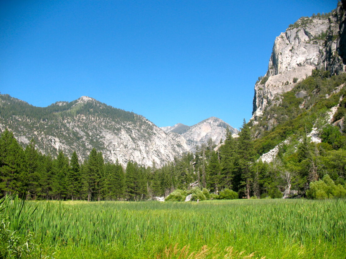
After exploring Boyden Cavern, and a nice picnic lunch near one of the waterfalls, Ben and I set off for a short hike through Zumwalt meadow. Anita and Shira decided to relax a bit before driving to the other end of the trail to pick us up.

The trail wandered through the meadow, crossing the Kings River a few times. The views were breathtaking. It was clear to understand what John Muir had seen from here over a century ago. Soon the trail came to an end and we could see the minivan parked under the trees.


Buy Me a Coffee at ko-fi.com

I am an avid peak bagger, sometimes backpacker, and former sea kayaker living in San Diego. I co-authored Urban Trails: San Diego, available now!

In 2019, I became the third person to complete the San Diego 100 Peak Challenge. Not stopping with that accomplishment, I set my sights on the harder San Diego Sierra Club 100 Peak list, which I completed in 2021. I’ve also conquered several Six-Pack of Peaks challenges (SoCal, San Diego, Central Coast, and both the Arizona-Winter and Arizona-Summer).

I look forward to exploring new summits and adventures across the Southwest. 

Congress Trail


Buy Me a Coffee at ko-fi.com

I am an avid peak bagger, sometimes backpacker, and former sea kayaker living in San Diego. I co-authored Urban Trails: San Diego, available now!

In 2019, I became the third person to complete the San Diego 100 Peak Challenge. Not stopping with that accomplishment, I set my sights on the harder San Diego Sierra Club 100 Peak list, which I completed in 2021. I’ve also conquered several Six-Pack of Peaks challenges (SoCal, San Diego, Central Coast, and both the Arizona-Winter and Arizona-Summer).

I look forward to exploring new summits and adventures across the Southwest.