I pulled into the Ice House Canyon parking lot just around 6:30 am. Given this was a Monday, I did not have any trouble finding a spot, as there were only about 8 other cars here. It was nippy, but I knew that once I started up Ice House Canyon, I would be shedding that fleece layer in no time, so it stayed tucked in the pack. Next to the trailhead, work has begun on the new Heroes Project retreat. This is the organization that holds the Climb for Heroes event up Mt. Baldy, which I have done in the past. I had already gotten the free permit online needed to hike Cucamonga, so I skipped filling out the paper one and set off. The creek was flowing nicely as I passed by the cabins in the canyon. Just a few wildflowers remained along the side of the trail. About two miles in, the sun finally rose over the ridgeline. I stopped and got a photo for Ted, as he does enjoy a good sunrise. The trail continued its climb toward Icehouse Saddle. At the junction with the trail from Cedar Glen Campground, a trail runner was standing in front of the sign with a puzzled look on his face. I inquired about where he was trying to get to, and he replied, “Cucamonga”. I told him to stay on this trail and then look for the sign toward the east once you were at Icehouse Saddle. He thanked me and began jogging off. I shook my head at how unprepared he was. Before too long, I reached the saddle and took a well-earned break.


After enjoying the silence, I set off along the Cucamonga Trail toward the summit. From time to time, I had some great views of the high desert to the northeast. I stopped at the Bighorn Mine for a quick photo, but did not venture inside either tunnel. I reached the Bighorn Saddle and got ready for the 1,200 or so feet of gain that lay ahead of me. A few trail runners had passed me earlier in the climb, and they were now making their return as I climbed the switchbacks. I asked about that trail runner I helped earlier to find out if he got on the right trail. They said they did see him, so I didn’t have to worry about him heading the wrong way.


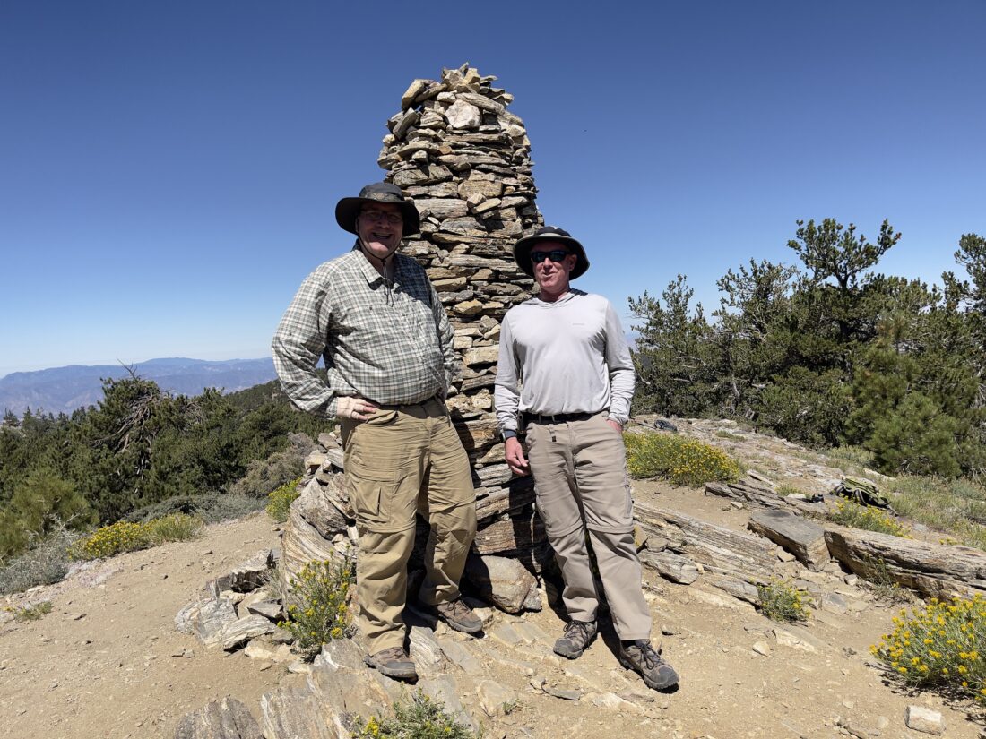
Partway up, I met two backpackers making their return from camping on the summit. I asked what their water load was for their trip, and they replied 6 liters. They had filled up at Columbine Spring, so they did have all that water weight from the beginning. We wished each other a safe hike and continued on. Soon, I spotted the wooden post indicating the side trail that you use to reach the summit, and I remembered the struggle up this section the last time I climbed Cucamonga. Thankfully, it was a bit easier this time around. As I reached the broad summit, I looked around for anyone else, but it was deserted! Slipping off my pack, I pulled out my tripod to be able to take the classic photo standing on the rock outcropping. I was glad I had the foresight to bring it, just in case. After snapping some more photos, I found a nice spot to enjoy an early lunch. A chipmunk chirped nearby as it tried to work its way over to grab some crumbs. As I was finishing my PB&J, two pairs of hikers joined me on the summit. We swapped cameras for some photos, and then I set off for my next destination, Etiwanda Peak.


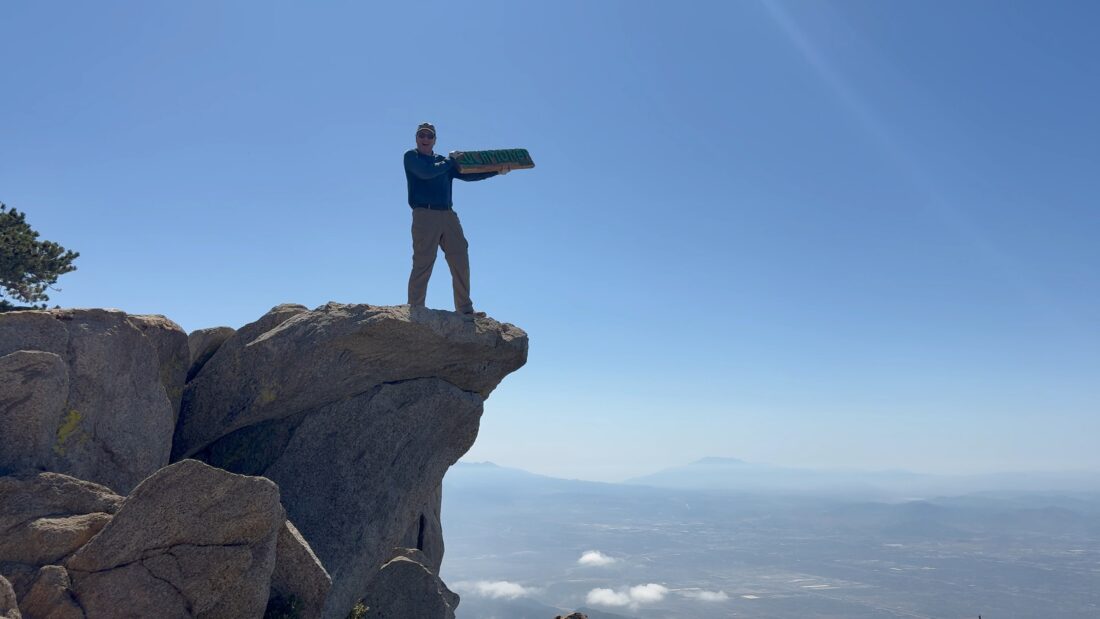
Sitting just under a mile to the east of Cucamonga Peak is Etiwanda Peak, which is on the Sierra Club Hundred Peaks Section list. The trail mostly follows the ridgeline until a nice-sized cairn marks the junction with its side trail to the summit. After a short but steep climb, I stood atop the white quartz that sits at the top of the summit and soaked in the views. Unlike Cucamonga, I had a full 360° view of the area. After a quick snack, it was time to make my way back down.


One of the pair of hikers who joined me at the summit was also making their way to Etiwanda, and I let them know the cairn for the side trail was very visible. At Bighorn Saddle, I briefly thought about climbing the ridgeline and summiting it as well, but I plan on climbing Ontario again, so I opted to save it for that trip.


Back at Icehouse Saddle, I paused for just a bit to rearrange some snacks for the hike down the canyon into one of my hip pockets. I cruised along, making good time on the descent. I passed a couple of backpackers making their way up to Kelly Camp for the night, and a few folks exploring Ice House Canyon. Before too long, I started passing the cabins again and knew the end of the trail was not far off. Once back at the car, I tossed in my gear and changed into a dry shirt. After a well-earned meal from In-N-Out, I hit the freeway home. The hike was 14.48 miles in 7:04 with 4770 feet of gain.


I am an avid peak bagger, sometimes backpacker, and former sea kayaker living in San Diego. I am the co-author of Urban Trails: San Diego, coming in Spring 2026!
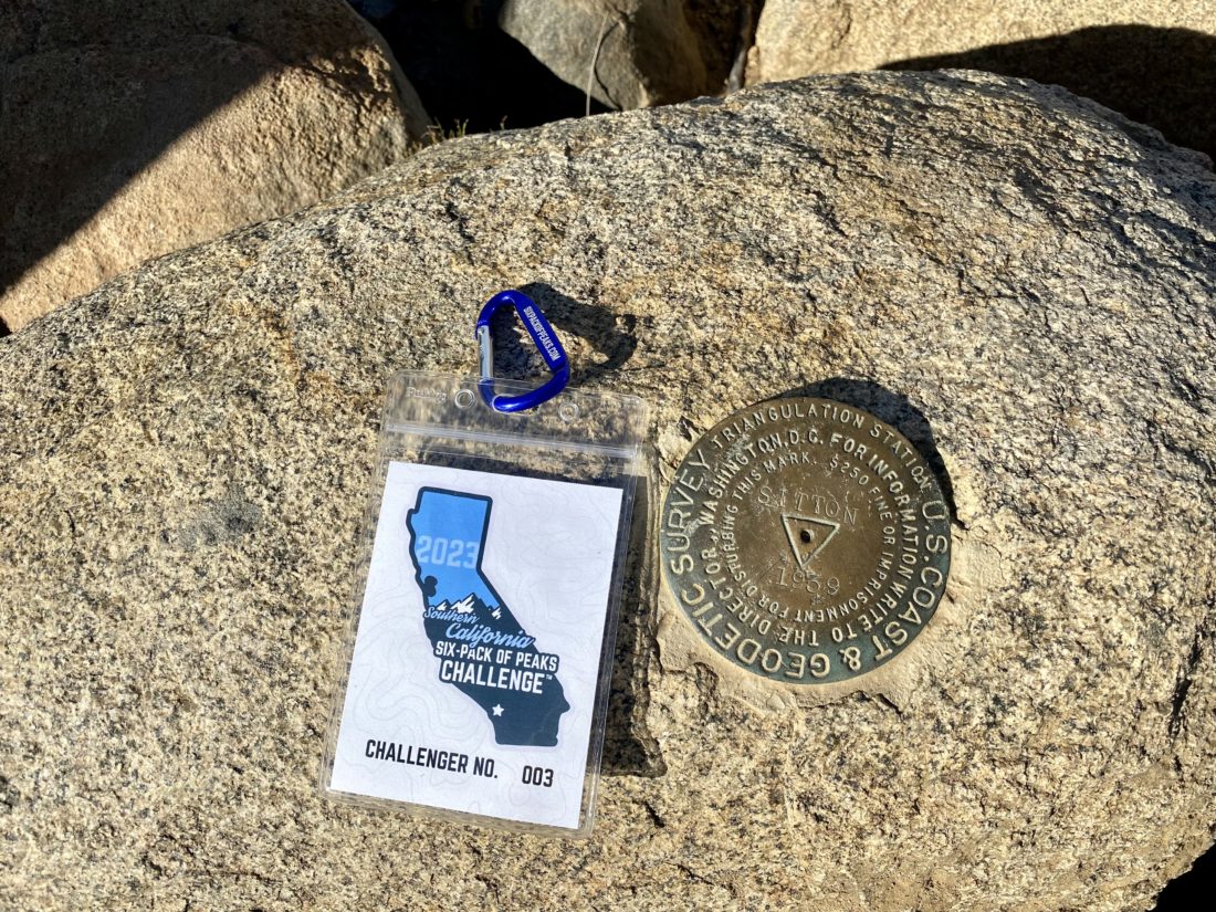
In 2019, I became the third person to complete the San Diego 100 Peak Challenge. Not stopping with that accomplishment, I set my sights on the harder San Diego Sierra Club 100 Peak list, which I completed in 2021. In addition, I have conquered several Six-Pack of Peaks challenges (SoCal, San Diego, Central Coast, and both the Arizona-Winter and Arizona-Summer).
I am looking forward to exploring new summits and new adventures across the southwest.