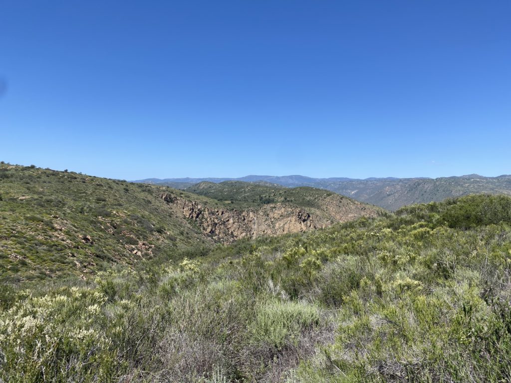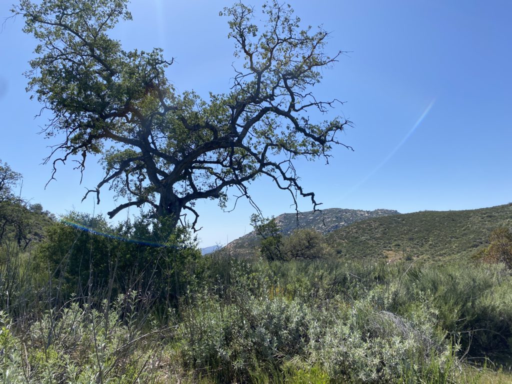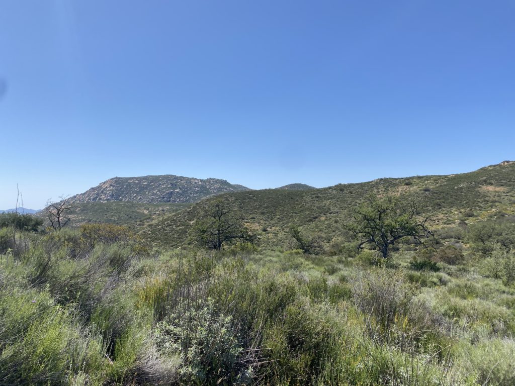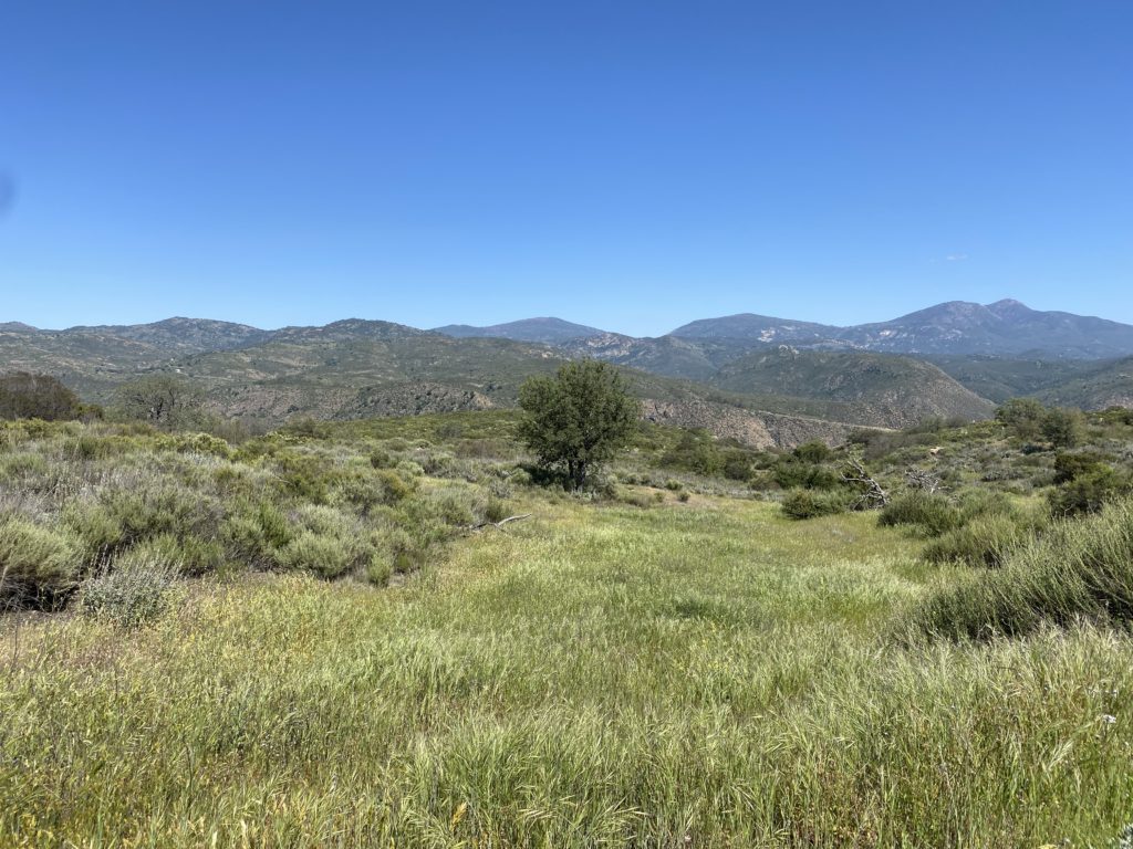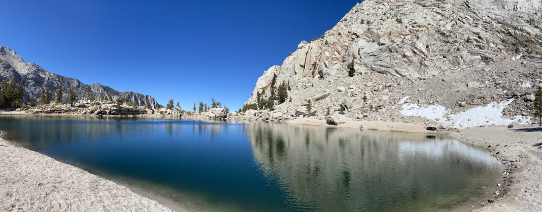
Lone Pine Lake

Matt Hanan reached out to me and asked if I would be able to join him in climbing Mt. Whitney on May 31st. As much as I wanted to climb to the highest peak in the lower 48, I had not been training for it, and did not want to hamper Matt’s attempt if I ran into issues. Also, May 30th is my wedding anniversary (29 years), so I would need to make sure missing most of that day was ok. Anita gave her approval, provided I did not actually attempt the summit. We agreed that I would not climb higher than Trail Camp and at my own pace, letting Matt stay focused on his ascent. Since Matt had one more space on his permit, my friend David also planned to meet us there. His plan was to probably stick with me as he had no desire to summit Whitney again, but loved just spending time in the eastern Sierras. I left San Diego mid-morning and drove up to Lone Pine. I met Matt at the motel and quickly changed into my hiking gear. The plan was to drive up to Whitney Portal and hike up to Lone Pine Lake, which is just before the boundary of the Whitney Zone. This would give us some hiking time at some higher altitudes, before the bigger hikes the next day. We found a spot and parked Matt’s car, fully cleared out as this is active bear country and the last thing you want is to return to your car to find it had been torn open by a bear looking for a snack. 

The trail begins almost across from the pit toilets. We each grabbed a wag bag and stuffed them in our packs. The trail headed east for a bit before turning back west. This was my first time here, so I was soaking in the beauty that was all around me. The next day, when I would be on this section of the trail, it would be pitch dark. The grade of the trail wasn’t too bad, but I could definitely feel the altitude. 

Matt had been here several times before, so he led the way. Lone Pine Lake sits about 1,750 feet above Whitney Portal, so we had some gain before us. We continued plodding along, taking some short breaks to let me catch my breath. We crossed the North Fork of Lone Pine Creek with no issues. Matt said the fun crossing was just before the junction with the trail down to Lone Pine Lake. As we climbed up the switchbacks, the views to the east were breathtaking. Soon, we came to the main crossing of Lone Pine Creek. This crossing is a long series of logs spanning the wide flow of water. Matt mentioned in previous years water had been flowing almost over the tops of them. Sadly, now it is well below that level. Once across, we reached the junction and made a short 0.1 mile jaunt to the lakeshore. A few folks were milling about, including one person hoping to catch some fish.

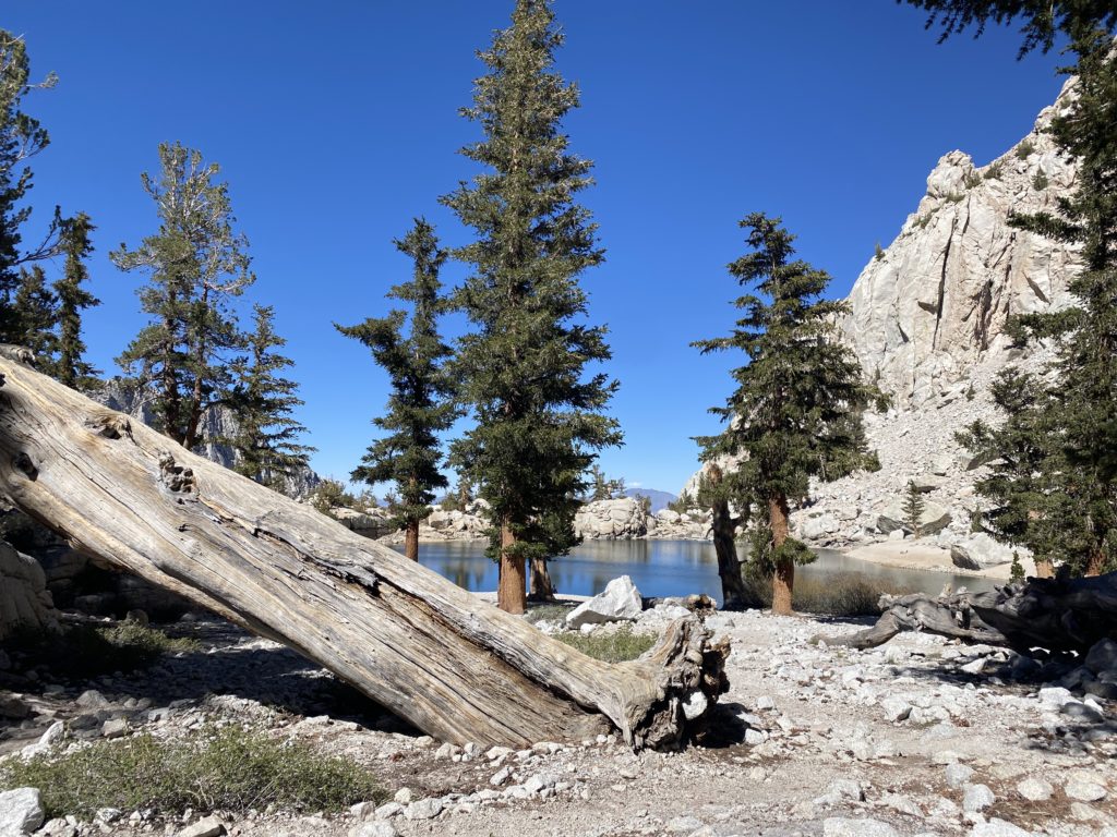
With a very early start time, we did not linger as we wanted to get back down into Lone Pine, grab dinner and hit the sack. I tracked our hike at 5.7 miles in 3:05 with 1,750 feet of gain. 

Buy Me a Coffee at ko-fi.com

I am an avid peak bagger, sometimes backpacker, and former sea kayaker living in San Diego. I co-authored Urban Trails: San Diego, available now!

In 2019, I became the third person to complete the San Diego 100 Peak Challenge. Not stopping with that accomplishment, I set my sights on the harder San Diego Sierra Club 100 Peak list, which I completed in 2021. I’ve also conquered several Six-Pack of Peaks challenges (SoCal, San Diego, Central Coast, and both the Arizona-Winter and Arizona-Summer).

I look forward to exploring new summits and adventures across the Southwest. 
Sitton Peak

Since I have a busy schedule of hiking adventures planned for the coming month, I wanted to get some longer miles in to build up my fitness. Unfortunately, I did not have time to spend hiking my two remaining peaks on the San Diego Six-Pack of Peaks (Palomar High Point and El Cajon Mountain). So, instead, I turned to work on the SoCal Six-Pack of Peaks list and decided to climb Sitton Peak once again. I arrived at the trailhead just before 6:30 am. One other car was in the parking lot. I grabbed my gear and quickly and carefully crossed the highway.

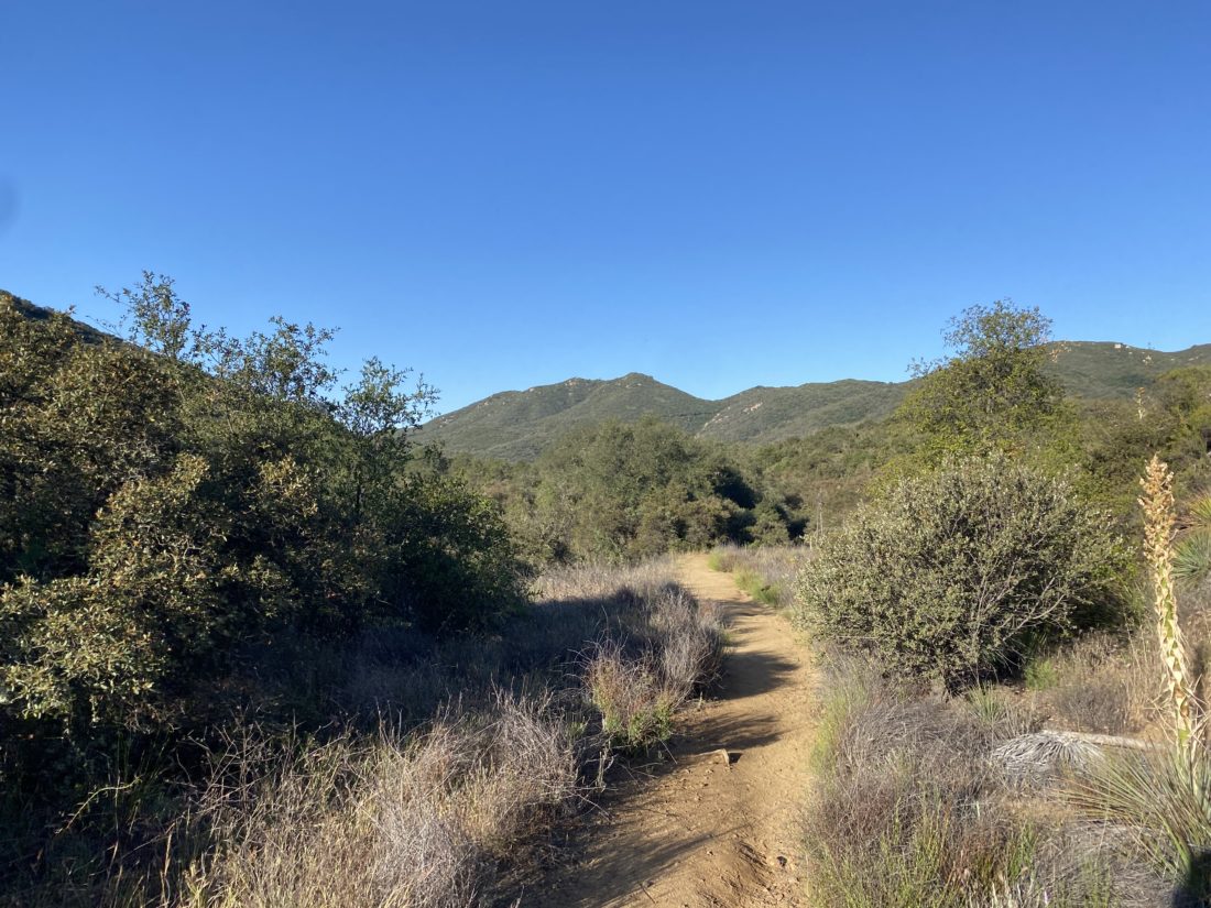
After signing in at the trailhead, I set off down the trail. I was surprised at the number of wildflowers that still dotted the sides of the trail.

The miles passed quickly, and I soon found myself at the side trail I would take to the summit. Anyone who has done Sitton Peak will tell you most of the hike is fantastic, it is just that last 4/10 mile that is the tough part. I began my climb, remembering my previous times in this section. This time it seemed easier. My footing felt more sure, and the effort was actually a little easier.

As I neared the summit, I could hear voices. The hikers from the other car were sitting on the summit enjoying a well-earned rest. We chatted a bit while I ate my snack and took a few photos. The marine layer covered the coast. I really do need to do this hike on a truly clear day. Since I wanted to be home by lunch, I bid farewell and set off back down. I cruised down the trail, keeping an eye out for any snakes that might be out.

Thankfully, just a handful of lizards enjoying the morning sun. Once back at the trailhead, I stopped at the Candy Store and treated myself to a fresh peanut butter cookie and a cold soda. I had a hiccup with my tracker, but I covered the hike in 3:56, hopefully, that is a good sign for my legs for all the miles they will be seeing in the coming weeks.


Buy Me a Coffee at ko-fi.com

I am an avid peak bagger, sometimes backpacker, and former sea kayaker living in San Diego. I co-authored Urban Trails: San Diego, available now!

In 2019, I became the third person to complete the San Diego 100 Peak Challenge. Not stopping with that accomplishment, I set my sights on the harder San Diego Sierra Club 100 Peak list, which I completed in 2021. I’ve also conquered several Six-Pack of Peaks challenges (SoCal, San Diego, Central Coast, and both the Arizona-Winter and Arizona-Summer).

I look forward to exploring new summits and adventures across the Southwest. 

Clevenger Canyon-San Pasqual North Trail

The North County Sierra Club has been running the 50 hikes for 50 years Challenge, where over the course of a year you hike a list of 50 hikes and earn some prizes along the way. I did not learn about the challenge until it was well underway, plus the peaks of Anza-Borrego tend to call my name during the winter. I was able to do 25 of them and earn a patch (I am a sucker for patched). But several folks were able to hike all 50! On Friday, I was able to join two of them, Yosina and Annie as they hiked up Clevenger Canyon North.

We were joined by some of their other friends at the trailhead and set off down past the graffitied boulders until we reached Santa Ysabel Creek. A trickle of water was still flowing as we crossed over and would now start our climb up the canyon wall.

Toward the summit, we spied some young turkey vultures hanging out just ahead of us. More were off to the east. They took flight once we passed, their massive wings carrying them away. Soon, we were at the summit and we took a break. The ladies broke out their signs and smiles and took their completion photo together.

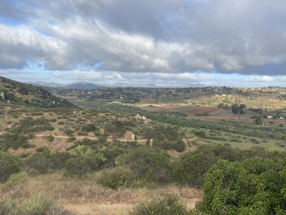
After the short break, we headed back down the trail. This is the best part of the hike, not because you are headed back to the trailhead, but instead of just looking at the canyon wall, you are now rewarded with the vistas of the San Pasqual Valley.

After the short climb up from the creek, we were back at our cars and parted ways. I logged the hike at 5.3 miles with 1,490 feet of gain.


Buy Me a Coffee at ko-fi.com

I am an avid peak bagger, sometimes backpacker, and former sea kayaker living in San Diego. I co-authored Urban Trails: San Diego, available now!

In 2019, I became the third person to complete the San Diego 100 Peak Challenge. Not stopping with that accomplishment, I set my sights on the harder San Diego Sierra Club 100 Peak list, which I completed in 2021. I’ve also conquered several Six-Pack of Peaks challenges (SoCal, San Diego, Central Coast, and both the Arizona-Winter and Arizona-Summer).

I look forward to exploring new summits and adventures across the Southwest. 

Cowles Mountain & Pyles Peak

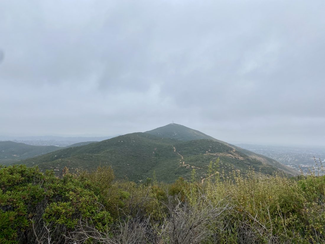
With “May Grey” in full force, I figured an early morning hike up Cowles Mountain, and then over to Pyles Peak would be a good choice. I needed to photograph the new summit marker that now sits atop Pyles Peak, and having a nice layer of clouds to keep the sun away sounded perfect. Since Covid-19 is still an actual issue, I opted not to take the shorter (and generally crowded) route up from Golfcrest to the summit to Cowles. Instead, I planned to either take the Barker Way route or the Big Rock route. In the end, I settled on the Barker Way route, mostly since it was a bit shorter than the Big Rock route. I found a spot on the street near the trailhead, grabbed my gear, and set off.

I actually had another choice to make almost immediately—do I take the service road all the way to the summit of Cowles, or do I take the trail to my left? The trail won the coin toss. There was no actual coin tossing, as trails will almost always win for me. The trail worked its way up the south side of Cowles, passing through the chaparral. Occasional steps helped lessen the grade as I kept climbing. I passed a connector trail that I could take to rejoin the service road, but I kept going, as there was another one closer to the summit that I planned to take. The trail I was on would actually connect with the route up from Golfcrest, and I had no desire to do that. From there I followed the service road to the summit of Cowles. I had never been on the service road, and was surprised at how steep it was.

At the summit I grabbed a quick photo of the marker and continued on. The marine layer hid much of the view, plus I still had another 1.5 miles to the summit of Pyles. 

I worked my way down the trail, losing about 300 feet of elevation before making a small climb and then more descent. Finally, I reached the start of the climb to the other summit. Once I reached it, two other hikers were taking a break here. I was on a work call, so I couldn’t stop and chat. I photographed the new marker and began back down.

The towers atop Cowles loomed to the south and I climbed back toward them. So far my neck, which had been giving me issues, was feeling ok. Once back at the Cowles summit, I snapped a few more photos. In case you are wondering, crossing back over a summit does not count as a new ascent.

I followed the service road back toward the connector, but instead of completely retracing my route, I opted to stay on the service road all the way down. Once back at the car I tossed my gear in and headed home. The peacefulness of the hike let me explore some ideas around a new interface design I am creating at work. Sometimes it is best to step away from the screens to give yourself some time to focus. I logged my hike at 5.8 miles in 2:39 and over 1,764 feet of net elevation gain. Now to finish that trail guide…


Buy Me a Coffee at ko-fi.com

I am an avid peak bagger, sometimes backpacker, and former sea kayaker living in San Diego. I co-authored Urban Trails: San Diego, available now!

In 2019, I became the third person to complete the San Diego 100 Peak Challenge. Not stopping with that accomplishment, I set my sights on the harder San Diego Sierra Club 100 Peak list, which I completed in 2021. I’ve also conquered several Six-Pack of Peaks challenges (SoCal, San Diego, Central Coast, and both the Arizona-Winter and Arizona-Summer).

I look forward to exploring new summits and adventures across the Southwest. 

South Fortuna*

Since all the construction blocked my access from the West Fortuna Staging area last week, I decided to use the southern approach. This route crosses the San Diego River, since we hadn’t had any rainfall in some time, I knew it would be safe to cross. This is not a route to take if there is any real water flow. Sadly, this crossing can be deadly. 

Once safely across, I began the steep climb to connect with the Suycott Valley Trail and then dropped back down to link up with the South Fortuna Trail. From there I started climbing up toward the infamous “South Fortuna Stairs”. 

At the base of the stairs, I took the photos I needed for the trail guide I am writing for SoCal Hiker and headed back. I really had no desire to summit this peak again, as I had been there since the new summit marker was installed. The return to the car went quickly, and a few more folks were milling around the river as I crossed back over. 


Buy Me a Coffee at ko-fi.com

I am an avid peak bagger, sometimes backpacker, and former sea kayaker living in San Diego. I co-authored Urban Trails: San Diego, available now!

In 2019, I became the third person to complete the San Diego 100 Peak Challenge. Not stopping with that accomplishment, I set my sights on the harder San Diego Sierra Club 100 Peak list, which I completed in 2021. I’ve also conquered several Six-Pack of Peaks challenges (SoCal, San Diego, Central Coast, and both the Arizona-Winter and Arizona-Summer).

I look forward to exploring new summits and adventures across the Southwest. 

North Fortuna

I needed to think through a presentation I was making the next day, so I figured a nice hike would help me focus. Since I needed some photos for some trail guides I am writing, I decided to hike up the Fortunas in Mission Trails. I wanted some better photos of the “infamous” South Fortuna stairs and the new summit marker atop North Fortuna. As I neared the parking lot, I remembered there was some construction happening on this side of the park, courtesy of the San Diego Water District. I looked over the map and realized that I wasn’t going to have an easy route to get to the South Fortuna stairs, but I still had a route to North Fortuna. 

I crossed the bridge into the park and headed north toward the Rim Trail. Clear signs warned me about various closures and detours. Cruising along the trail, I could see two work areas, to the northwest and southeast. The work was supposed to be done in early 2022, but construction is rarely on time. I reached four corners and had a decision to make – I could take the Suycott Valley Alternative Trail to connect to the Fortuna Saddle Trail and then the summit, or I could take the Shepherd Ridge Trail to approach the summit from the north side. Since I had never done North Fortuna from the north side, my choice was an easy one. 

I had passed a few folks on the trail, but as it was about 4 pm on a Thursday, I did not expect to see many. The trail took me northward, getting closer to the northern edge of the park and the 52 freeway. The evening commute was starting to pick up. The trail connects briefly with the Perimeter Trail before turning southward to begin the real climb up North Fortuna.

While it wasn’t the South Fortuna Stairs, I did have a small section of stairs to assist me. After crossing a false summit, the real summit was just a short bit away. I snapped my photos and took a short break before continuing southward toward the saddle. 

I took the saddle back down to the west until it reached Suycott Valley Alternative Trail. Normally, I would stay on this trail, but the construction closure prevented that. As I made my way on the trail back toward Four Corners, it was clear that this trail was heavily favored by mountain bikers, and was glad I was here on a weekday. I would not recommend this trail on a weekend. Once back at Four Corners, I retraced my route to the car. Just before I started the short climb from Four Corners, two mountain bikers came screaming down the wide trail, reaffirming my thoughts about weekend use. As I made my way back to the car, I passed several more mountain bikers. Back at my car, I saw that both sides of the street were now packed. This route was 5.75 miles with 1,112 feet of elevation gain.  


Buy Me a Coffee at ko-fi.com

I am an avid peak bagger, sometimes backpacker, and former sea kayaker living in San Diego. I co-authored Urban Trails: San Diego, available now!

In 2019, I became the third person to complete the San Diego 100 Peak Challenge. Not stopping with that accomplishment, I set my sights on the harder San Diego Sierra Club 100 Peak list, which I completed in 2021. I’ve also conquered several Six-Pack of Peaks challenges (SoCal, San Diego, Central Coast, and both the Arizona-Winter and Arizona-Summer).

I look forward to exploring new summits and adventures across the Southwest. 

Corte Madera

I had hoped to squeeze in one more desert peak, but with my daughter leaving for DC for the summer, I could not afford the time. Instead, I opted to knock one of the San Diego Six-Pack of Peaks off my list. Corte Madera would fit the bill nicely–not too long and not too far of a drive to the trailhead. I pulled into an empty parking area and hung my Adventure Pass from the mirror. While the car’s thermometer read 37, it did not feel that cold, plus I knew both I and the day would be warming up.

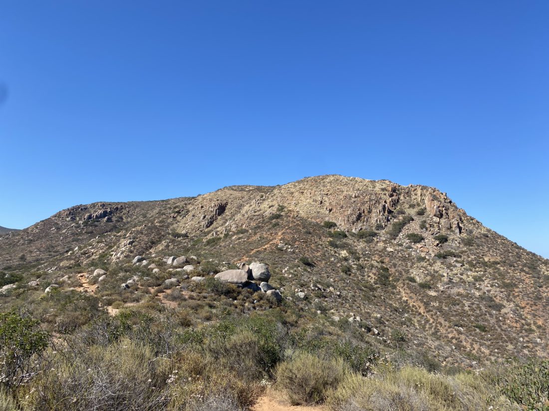
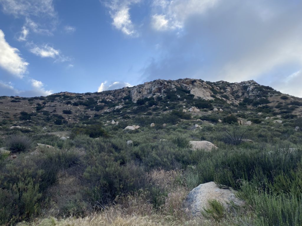
I grabbed my new trekking poles, as I had worn the tips down on my previous pair, and set off. The route to the summit began along a nicely shaded road for about 1/2 mile before I reached the Espinoza Trail. Now I would begin climbing up toward the saddle, with some nice wildflowers scattered along the trail. Once at the saddle, I got my first view of the impressive rock face of Corte Madera. A warning sign had been posted for anyone continuing on the Espinoza trail, to be careful from the fire damage. Off to my left stood the Los Pinos lookout tower and to my right was the road I would follow for a short while.

Another sign pointed to the trail branching off to the left from the road. This portion of the hike would have the more “challenging “ portion of the hike. The gentle climb up the Espinoza would be replaced with a steeper and rockier one. In addition, the overgrowth was also heavier through here as well. 

I passed by a jacket and bag off to the side, which I assume were left by a migrant. After climbing down the rocky section, the trail would now roller coaster toward the summit. My left calf was starting to tighten, so I slowed my pace to give it some relief. I recognized that I was almost at the summit and would have a chance to give it a rest.

As expected, I had the summit to myself. A new wooden sign had been left next to the register. I signed in and snapped my photos, then found a spot to enjoy my orange and take a breather.

I pulled my pack on and began to retrace my route. Not long after leaving the summit, I met my first other hiker. He looked a little lost, as he was staring intently at his phone. I gave him some guidance for the last bit. It turns out he started at Corral Canyon. We each went our separate ways. As I neared that one climbing section, I met the second set of hikers. They recognized me from my blog, and we chatted a bit before continuing. I would encounter another 10 or so by the time I reached the saddle.

Once back on the road to the Espinoza trail, a truck passed me, as did a motorcycle. I had wondered about driving back here for some car camping. Given that the truck looked almost stock, I could probably get my Subaru back here for an evening.

As I made my way down the Espinoza trail, I could feel the day getting warmer and my calf getting tighter. I knew I didn’t have that much further, plus the last 1/2 mile would have some shade and was mostly flat. The car said it was in the low 80s and I would believe it. This time my tracker logged me traveling 7.0 miles in 3:41 with an elevation gain of 1,633 feet.


Buy Me a Coffee at ko-fi.com

I am an avid peak bagger, sometimes backpacker, and former sea kayaker living in San Diego. I co-authored Urban Trails: San Diego, available now!

In 2019, I became the third person to complete the San Diego 100 Peak Challenge. Not stopping with that accomplishment, I set my sights on the harder San Diego Sierra Club 100 Peak list, which I completed in 2021. I’ve also conquered several Six-Pack of Peaks challenges (SoCal, San Diego, Central Coast, and both the Arizona-Winter and Arizona-Summer).

I look forward to exploring new summits and adventures across the Southwest. 

Volcan Mountain (via 5 Oaks Trail)

After the hard climb up Sunset Mountain yesterday, I was looking for something a bit tamer. So, I decided to continue working on the San Diego Six-Pack of Peaks list, and Volcan Benchmark seemed like the perfect fit. Plus, I might try to get in another WBC hike afterward, along with a stop at Calico Cidery as well. Susie was fine with this, and we set off together.

We had a slightly later start as we did not need to worry about temperatures for this hike. There were about 8 cars parked along Farmers Road when we arrived. We grabbed our gear and set off. This would be my 5th time up, and Susie has lost track of how many times she had been to the summit. After using the porta-potties, we began hiking up the familiar road. Once we reached the 5 Oaks side trail, we switched to it. We caught a couple of other hikers as we cruised up the shaded trail. 

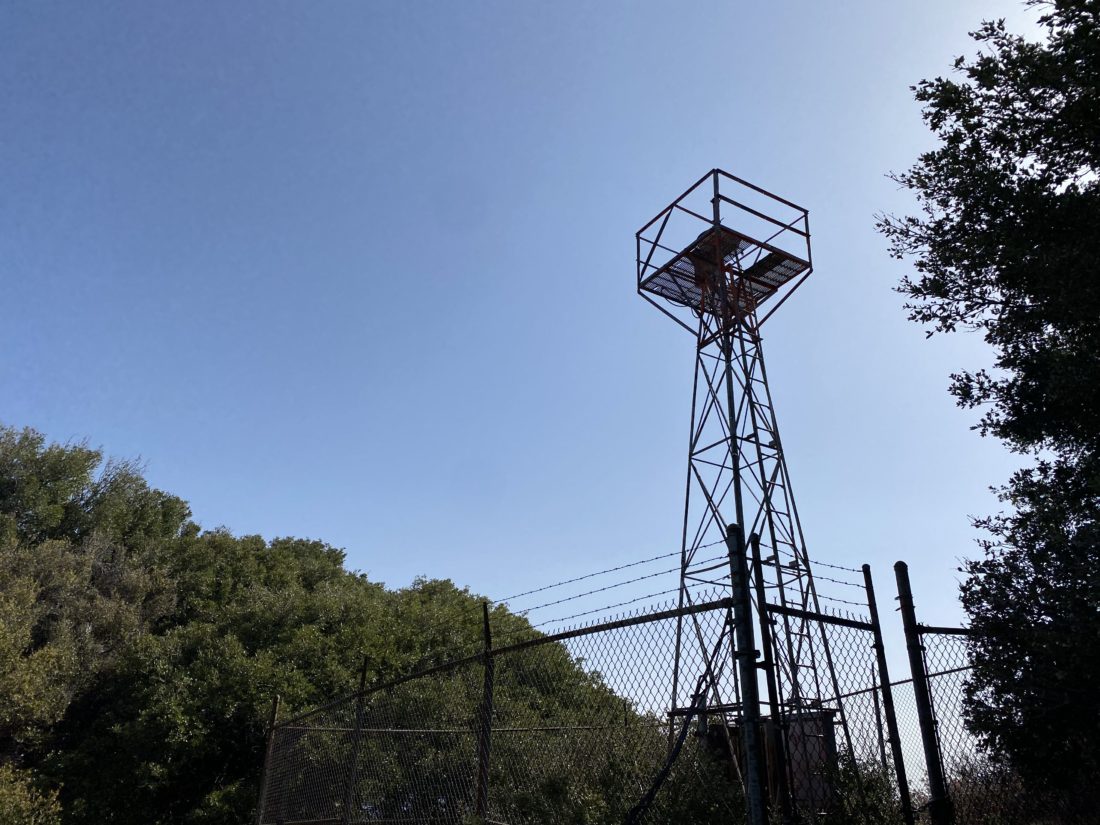
Once we rejoined the road, we felt the infamous wind that usually blows across this ridge. We continued chatting as we came to the old air beacon that sits on the summit. Susie snapped my photo for the challenge. Off to the southwest, a nice field of poppies beckoned to be photographed. 

After snapping our photos, we headed back down, this time staying on the main road for the entire descent. We passed several folks making their way up, and one pair of hikers also descending. Once back at the car we noted that we both might have set PRs for this peak. I know I did, and Susie was pretty sure as well. Since the Santa Ysabel East trail is just a few minutes down the road, we opted to drive down and add in some more miles. For Volcan, I logged us tracking 5.2 miles in 1:59 and gaining 1,241 feet.


Buy Me a Coffee at ko-fi.com

I am an avid peak bagger, sometimes backpacker, and former sea kayaker living in San Diego. I co-authored Urban Trails: San Diego, available now!

In 2019, I became the third person to complete the San Diego 100 Peak Challenge. Not stopping with that accomplishment, I set my sights on the harder San Diego Sierra Club 100 Peak list, which I completed in 2021. I’ve also conquered several Six-Pack of Peaks challenges (SoCal, San Diego, Central Coast, and both the Arizona-Winter and Arizona-Summer).

I look forward to exploring new summits and adventures across the Southwest. 

West Side Road

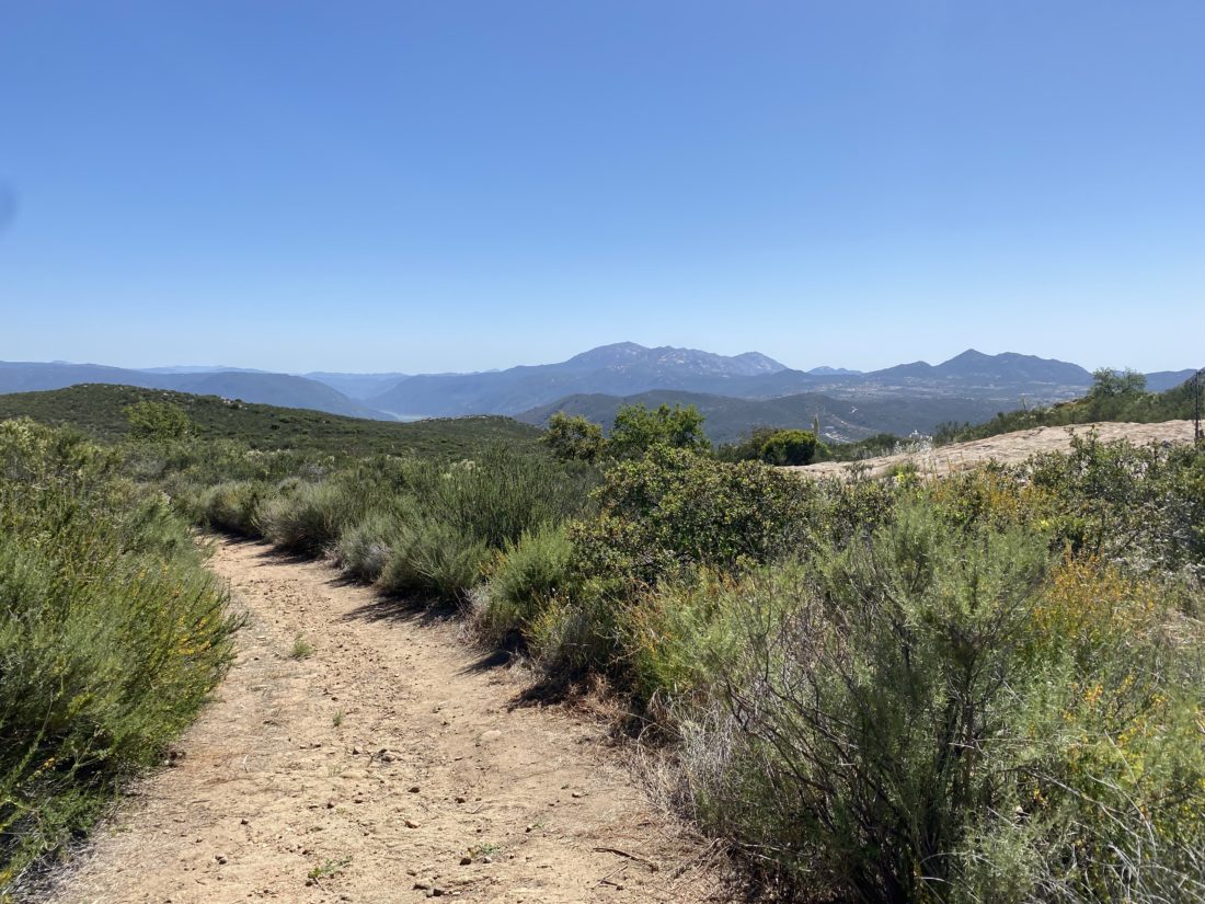
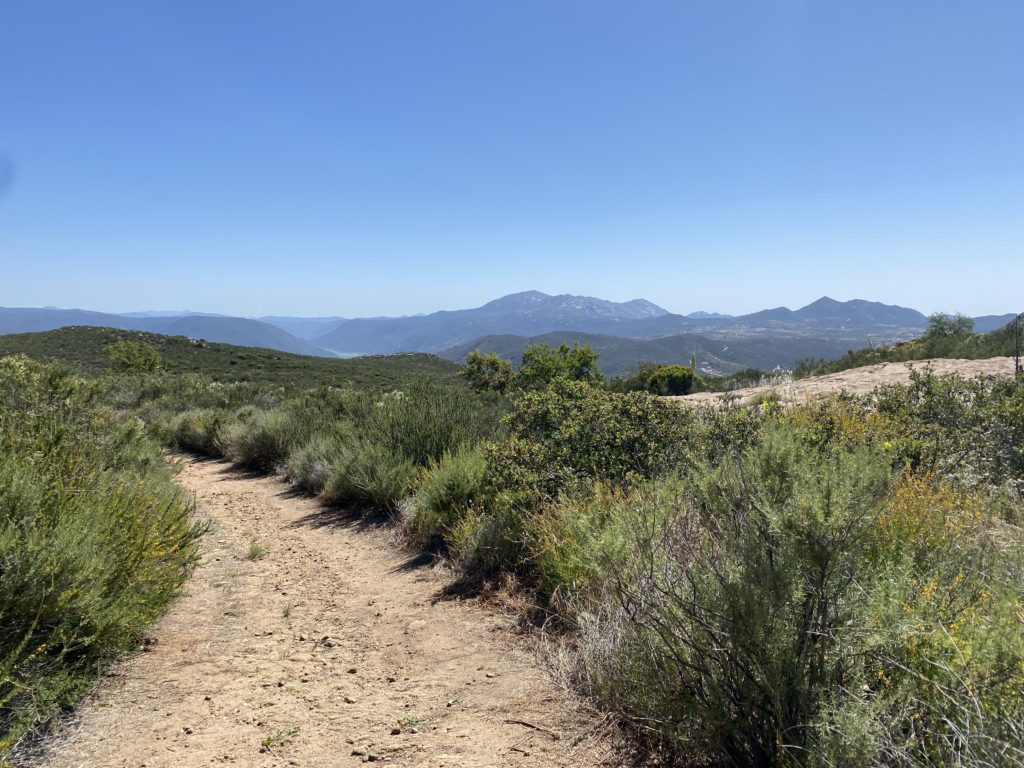
The original plan was to meet up with someone I used to admin with on the San Diego Hiking Society Facebook group. I left that role a few months back and wanted to catch up with her. Unfortunately, work got in the way and she had to cancel. I had never done the West Side Road Trail and still wanted to cross it off my list. I drove out through Ramona and toward San Diego Estates. Mt. Gower loomed over me to my north as I made my way to the trailhead. I parked and grabbed my gear. The trail begins along a paved road next to a house. I crossed over the road-closed gate and continued making my way up the road. Some bits of graffiti lined the road. The paved road became dirt as it still climbed up. I was rewarded for this effort with some nice views of the mountains. I could see Cuyamaca, Middle Peak, Viejas, and Volcan with ease. With some care, I could spy Eagle Peak and Peak 1546.

The road eventually turned northward and I could see more of Gower off to my left. While I had passed another hiker just as I began, I encountered one more out enjoying the trail. We chatted for a bit. He moved down from Riverside and was getting to know the area. We said our goodbyes, as he still had a ways to go to return to his starting point.

Eventually, the road came to an end, and the trail turned into a single track before coming to a very clear No Trespassing sign. I snapped a few photos and retraced my route. Soon I found myself back on the pavement and nearing my car. I could see a couple of miles away from the trailhead to Cedar Creek falls. That is one hike I have never done. In part don’t want to deal with the crowds and when it is flowing it usually means it is desert hiking season. I logged this hike at 4.5 miles and I covered it in 1:39 (including the time spent chatting). There were almost 848 feet of gain, so I did get a nice workout from it.


Buy Me a Coffee at ko-fi.com

I am an avid peak bagger, sometimes backpacker, and former sea kayaker living in San Diego. I co-authored Urban Trails: San Diego, available now!

In 2019, I became the third person to complete the San Diego 100 Peak Challenge. Not stopping with that accomplishment, I set my sights on the harder San Diego Sierra Club 100 Peak list, which I completed in 2021. I’ve also conquered several Six-Pack of Peaks challenges (SoCal, San Diego, Central Coast, and both the Arizona-Winter and Arizona-Summer).

I look forward to exploring new summits and adventures across the Southwest. 

Raptor Ridge Trail

As I continue to work toward the 25 hikes goal and the patch, I wanted to grab a hike before work. I decided to revisit another one of the hikes that I had done for one of the Coast to Crest Challenges, Raptor Ridge.

Parking at the trailhead, I grabbed my gear and set off. I had my headphones in my pack just in case I was not back in time to dial into my first meeting of the day. I cruised along the nice flat trail for about 1.5 miles before it would begin the climb up to the viewpoint. Once there I snapped my photo with a blank sheet of paper. I forgot my sign and would have to paste it in later. After taking in the views of San Pasqual Valley, I retraced my route. Met three others out enjoying the trail with their dog. Made it back to the car just before my meeting, I tossed in my gear, called in, and began the drive home. The hike was 4.6 miles in 1:35 and had 362 feet of elevation gain.


Buy Me a Coffee at ko-fi.com

I am an avid peak bagger, sometimes backpacker, and former sea kayaker living in San Diego. I co-authored Urban Trails: San Diego, available now!

In 2019, I became the third person to complete the San Diego 100 Peak Challenge. Not stopping with that accomplishment, I set my sights on the harder San Diego Sierra Club 100 Peak list, which I completed in 2021. I’ve also conquered several Six-Pack of Peaks challenges (SoCal, San Diego, Central Coast, and both the Arizona-Winter and Arizona-Summer).

I look forward to exploring new summits and adventures across the Southwest.