Trip Reports

Cuyamaca Peak (via Conejos Trail)

I have a multiple-day hiking adventure planned in a few weeks to start hiking some of the peaks on the inaugural Central Coast Six Pack of Peak Challenge. One of the peaks, Alan Peak, is an 11-mile round-trip hike. So far, I had not hiked anything more than about 6.5 miles, so I wanted to get in one longer, harder hike before I committed to the drive up to the central coast. I figured summiting Cuyamaca Peak would be the perfect test of my foot and my fitness. This was going to be a solo trip as my usual hiking partners had other commitments. I decided to do my traditional route from Milk Ranch Road. I pulled into the parking area just before 6:30. It was a little brisk, but I knew that was going to quickly change once I started. I cruised along Milk Ranch Road at a nice pace. One of the things I was focusing on was keeping a more steady and measured pace with my hiking. I am still rebuilding from almost a year off the trails, so I need to be mindful of this. Another thing I wanted to do on this hike was not look at my real pace or my location. I knew this trail well, so there was no need to know exactly where I was. I decided to just listen to my heart rate and my breathing and let the trail come as it may. 

Not long after starting up the road, a gaggle of wild turkeys ran off the road into a clearing nearby. On the drive in, I spotted a lone deer in the meadow. I wondered if I was going to encounter any other wildlife today. The nice thing about this route is that the 1.6 miles along the road is a nice steady grade and a wonderful way to warm up everything before you start making some serious elevation gain.

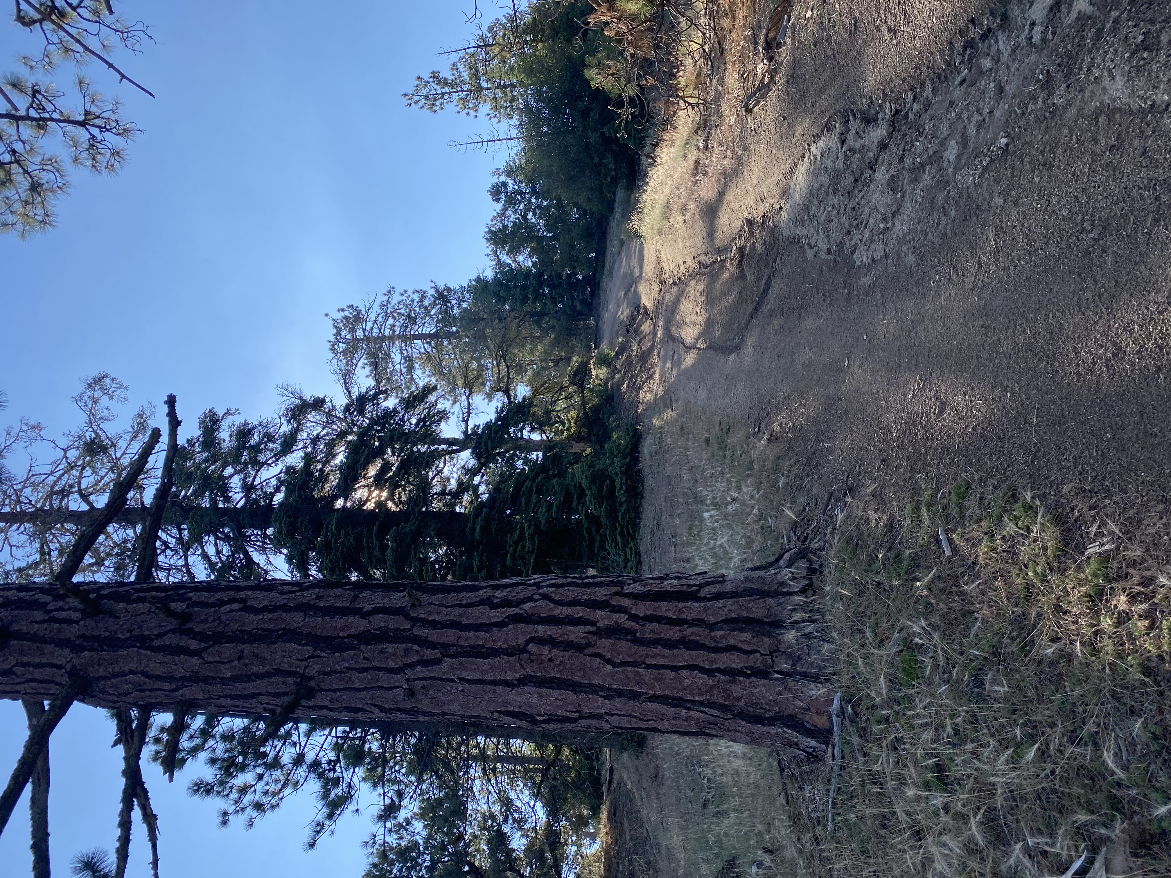
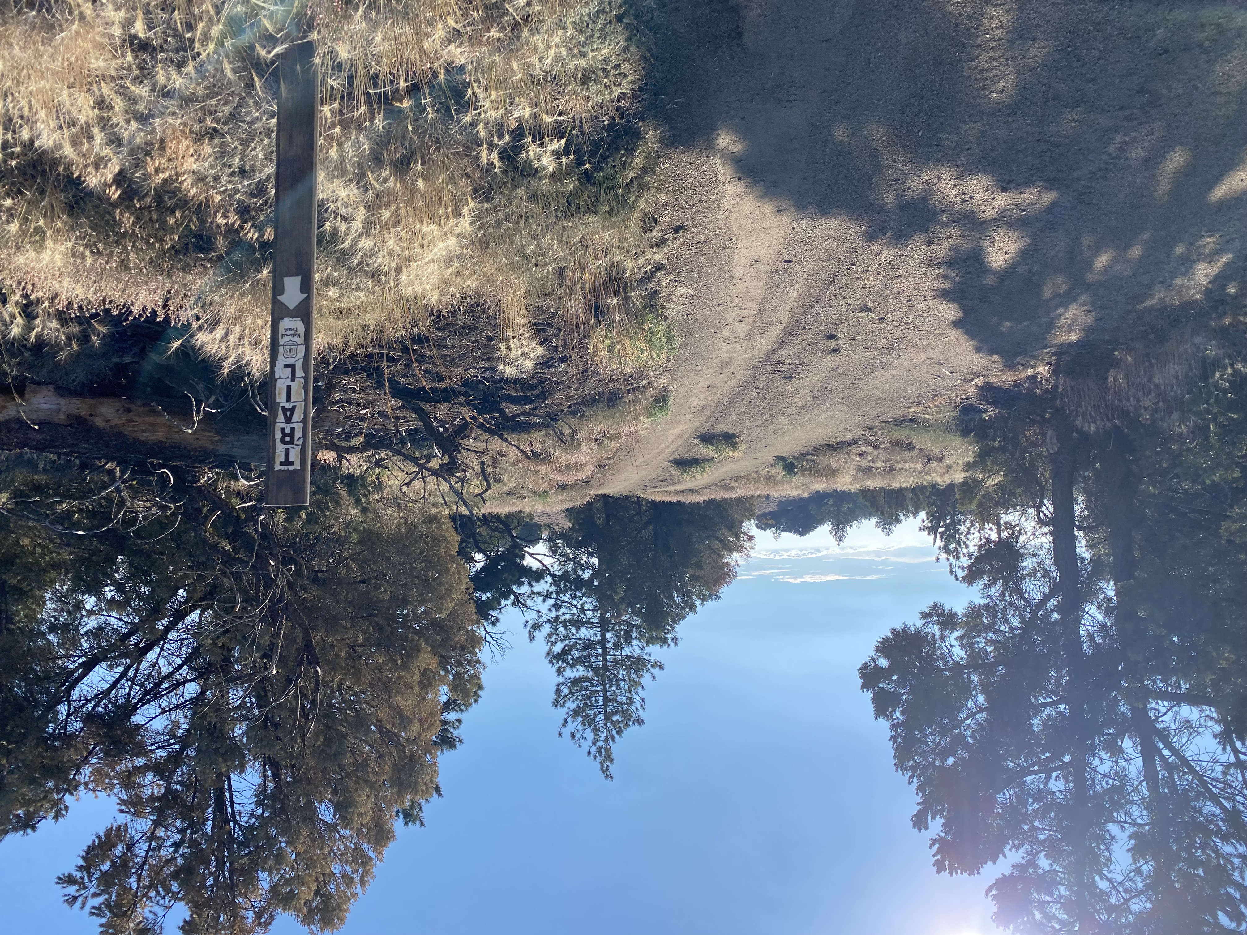
I turned on the Azalea Spring Fire Road and had that first steep section to push through before reaching the junction with the Conejos Trail. The beginning of the trail was a tad overgrown, and if you were not looking for it or the trail sign poles, you might miss it. The overgrowth soon faded, and the steep and rocky aspects of the trail took over. I wondered if Hurricane Hillary had done any damage to the trail, and if the storm had done any, if the repairs were already done. I kept an ear out as I passed near Conejo Spring to hear if it might still be flowing, but I only heard the sound of some birds. Along the way, I encountered a backpacker who had spent the night at the summit (which I believe is not allowed). We chatted some, and he was planning to head over to Middle Peak. While it had been a few years since I did it, I gave him a few bits of information. The key point I stressed to him is there is almost no view at the summit! He asked about water, so I told him I did not think the spring was running, so he would have to continue on to another water source.

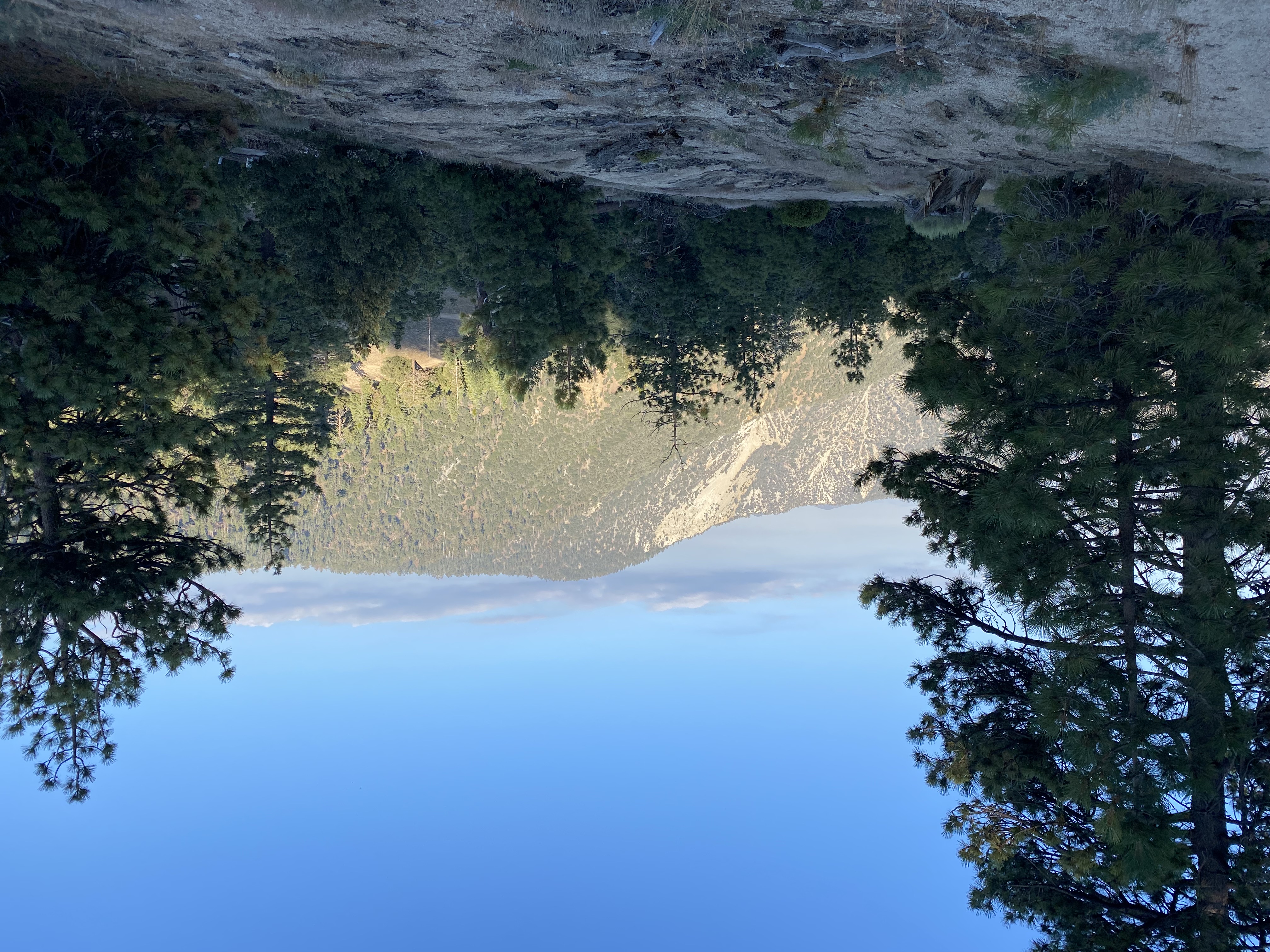
The trail reached the service road, and I took a quick break. I needed to take care of a hot spot that was forming and to put on the rubber tips for my trekking poles. No need to wear down the tips on the pavement. While I knew I was not quite at the summit, as I still had about 1/2 mile to go, I was feeling good about the effort so far. I plodded up the road, and green pine cones were scattered around. Some damage from the storm I suspected. Soon, the end of the road came into view and after a short bit of off-trail, I was at the summit of San Diego’s second highest peak.

I found a nice shady spot and enjoyed some snacks and electrolytes. I had the summit to myself, so I just took in the sweeping views to the west. I took my photos around the summit and began the long descent. I passed the junction to the Conejo Trail and kept walking down the steep service road. The sun was making the asphalt nice and toasty, so I was looking to get back onto the Azalea Spring Fire Road and have a little less reflective heat. Along the way, I passed a couple making their way up. They were training for some hiking in Scotland in a few weeks while they visit their daughter. I wished them well as they pushed on. 

Once off the service road, I cruised on. At Azalea Spring, I met up with that backpacker again. He was filtering some water before continuing on. He decided to skip Middle Peak and was going to head over to Cush-Pi (Stonewall Peak). Being from Florida, he was certainly feeling the altitude. I left him to filter the water and continued on. The bugs were starting to become annoying in the shady sections, almost to the point of breaking out the bug net. But I knew that I did not have that much further, so I would just swish them away. Soon, the car came back into view. The parking area had filled up, including a horse trailer. Given I only saw two other hikers after Azalea Springs, I wondered where they were out exploring? All told I hiked 8.6 miles with 1,860 feet of gain. My moving time for the hike was 3:50! I was really pleased to see that. I probably spent 15-20 minutes talking to some of those people I passed on the trail. 


Buy Me a Coffee at ko-fi.com

I am an avid peak bagger, sometimes backpacker, and former sea kayaker living in San Diego. I am the co-author of Urban Trails:San Diego, coming in Spring 2026!

In 2019, I became the third person to complete the San Diego 100 Peak Challenge. Not stopping with that accomplishment, I set my sights on the harder San Diego Sierra Club 100 Peak list, which I completed in 2021. In addition, I have conquered several Six-Pack of Peaks challenges (SoCal, San Diego, Central Coast, and both the Arizona-Winter and Arizona-Summer). I am looking forward to exploring new summits and new adventures across the southwest. 
Santa Fe Valley Trail

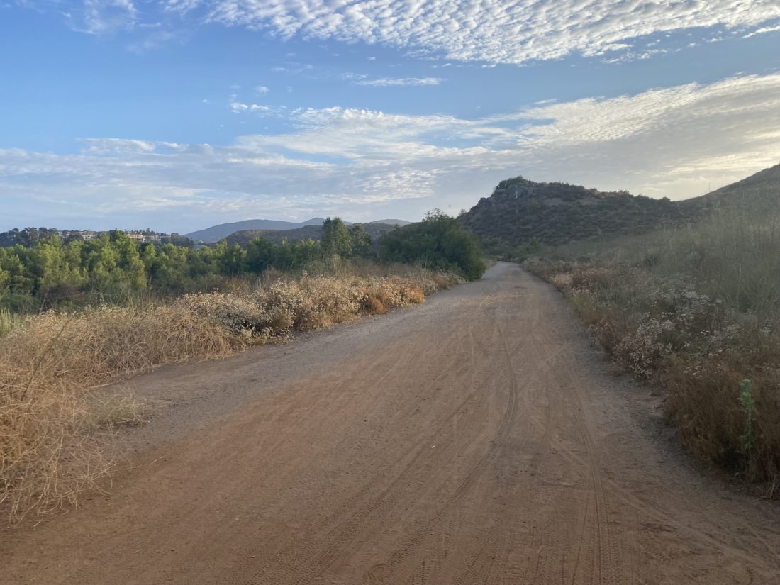
The past two times I had hiked this trail were after work. Since I was working from home this morning, I decided to do it bright and early. I pulled into the empty parking lot just after 6:30 a.m., grabbed my gear, and headed toward the trail. The skies were overcast as I cruised along the trail with the groundskeepers working the nearby golf course. 

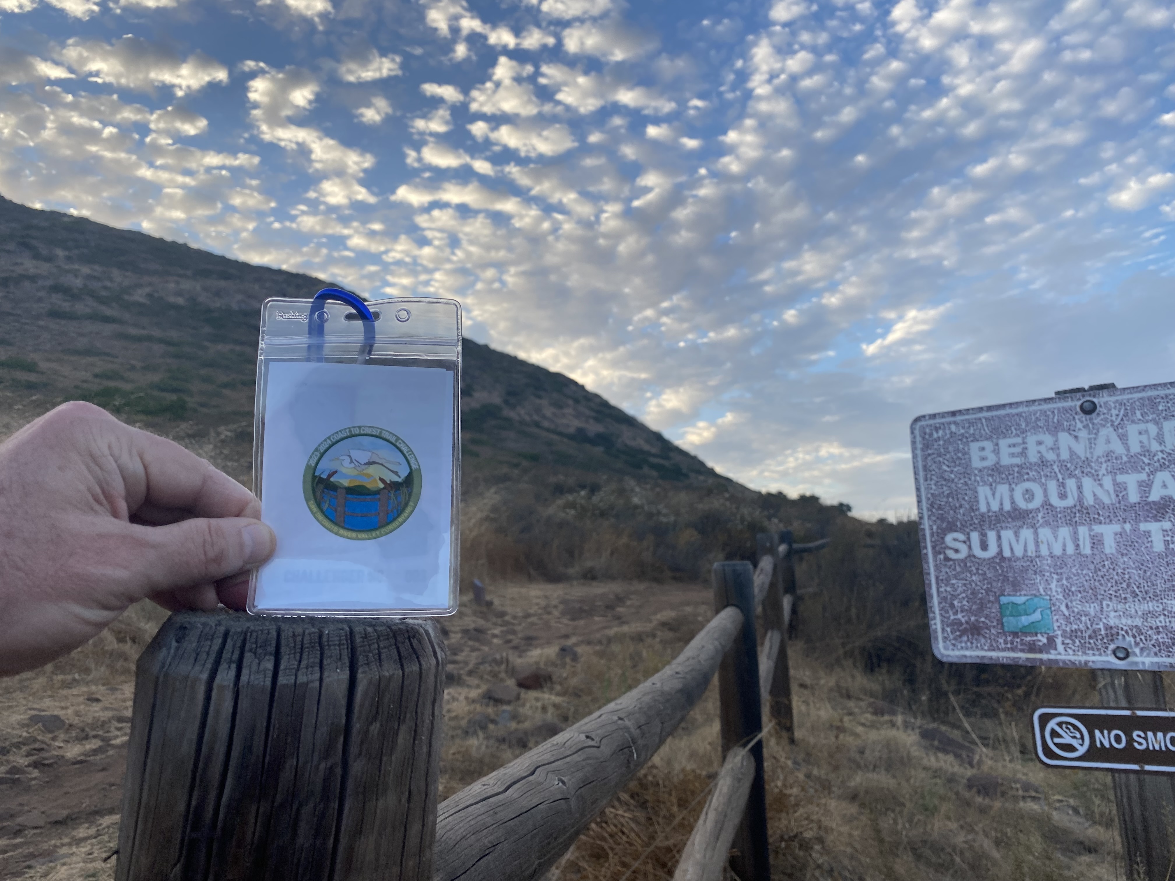
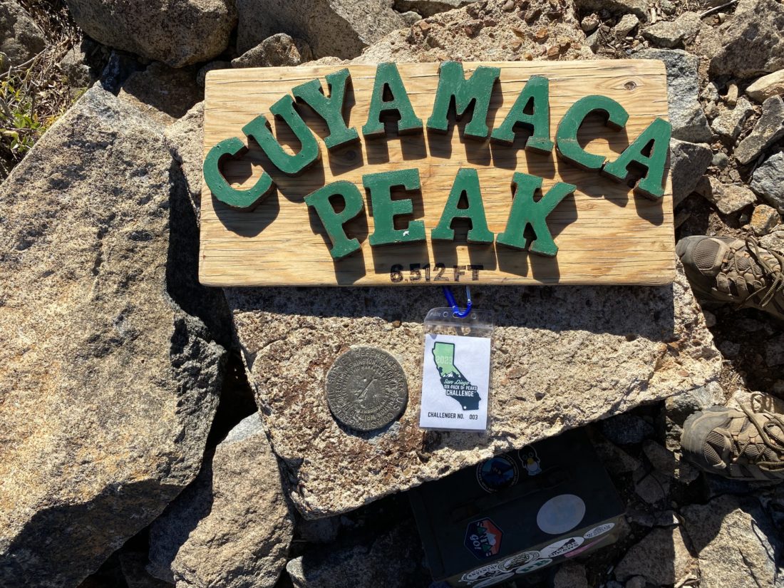
The trail crosses quite a few small bridges as it follows the San Dieguito River. Then the trail reaches the other element known for the switchbacks that carry you up from next to the river and toward a hill above it. You certainly are rewarded with some nice views after making the short climb. I snapped my challenge photo and retraced my route. Just one more hike and the 2023-2024 Coast to Crest Challenge will be complete.


Buy Me a Coffee at ko-fi.com

I am an avid peak bagger, sometimes backpacker, and former sea kayaker living in San Diego. I am the co-author of Urban Trails:San Diego, coming in Spring 2026!

In 2019, I became the third person to complete the San Diego 100 Peak Challenge. Not stopping with that accomplishment, I set my sights on the harder San Diego Sierra Club 100 Peak list, which I completed in 2021. In addition, I have conquered several Six-Pack of Peaks challenges (SoCal, San Diego, Central Coast, and both the Arizona-Winter and Arizona-Summer). I am looking forward to exploring new summits and new adventures across the southwest. 

Santa Ysabel Lower Truck Trail

The hike along the Santa Ysabel Truck Trail was back on this year’s list of hikes for the Coast to Crest challenge. I really enjoyed doing it last time, so I was looking forward to hiking it again. Since the hike is a fairly mild one, I invited my friend Jeremy to join Ted and me on this adventure. We pulled into the parking lot and got our gear together. The skies were slightly overcast from the incoming Hurricane Hillary as we set off.

We cruised along the trail, catching up about our recent college graduates, various trips we have taken, and life. Soon we reached the junction with Orasco Guejito Truck Trail and took a short break. I warned Jeremy that our return would be a touch harder, as you don’t directly feel it, but you are following the San Dieguito River, and water only flows one way…

Along our way back we encountered some cyclocross riders trying to get some outside time in before the rains and winds hit. When we got back to the car, two horse trailers had arrived. Since we did not encounter them, I assume they were off enjoying the Pamo Valley trail. We drove back home and enjoyed a well-earned lunch at Mi Ranchito in PQ. Three hikes down, two to go! The stats for the hike were 6.7 miles with 600 feet of gain in 2:44.


Buy Me a Coffee at ko-fi.com

I am an avid peak bagger, sometimes backpacker, and former sea kayaker living in San Diego. I am the co-author of Urban Trails:San Diego, coming in Spring 2026!

In 2019, I became the third person to complete the San Diego 100 Peak Challenge. Not stopping with that accomplishment, I set my sights on the harder San Diego Sierra Club 100 Peak list, which I completed in 2021. In addition, I have conquered several Six-Pack of Peaks challenges (SoCal, San Diego, Central Coast, and both the Arizona-Winter and Arizona-Summer). I am looking forward to exploring new summits and new adventures across the southwest. 

San Emigdio

I initially thought about hiking over from Marian Campground to San Emigdio on Sunday, but I knew that after the effort Sawmill took, plus planning to stay up a bit late to catch the meteor shower, that was not going to be in the cards. Instead, once we were back on Hudson Ranch Road, we then turned onto Forest Route 9N34 and began driving up. This road was a little rougher than the one to the campground, but nothing an Outback couldn’t handle, so the Rubicon had no issues. We stopped at an incredible vista then backtracked a touch for me to walk up to the peak. The rest of the group opted to see the old quarry just to the south.

At the summit, a pile of rocks surrounded the register. After scaring a lizard away, I removed the register to see my friend Greg Gerlach’s name twice on the main page. I added mine and returned it to its spot on the summit. While the mountain itself has 1000 feet of prominence, the actual summit affords no views to speak of. I retraced my steps with my legs feeling the Sawmill hike earlier in the day. We continued our off-roading adventures by taking the 22W12 that led directly back to our campsite. The campground had filled up with folks coming to watch the Perseid meteor shower slated for later in the evening. We had another fine dinner. I turned in early, figuring at some point during the night I would wake up and enjoy some of the light show. I was too worn out from the Sawmill hike to stay up until midnight when they were slated to be at their peak. I did wake up around 1 am, and saw a few shoot across the sky, before crawling back into my tent and drifting back to sleep.


Buy Me a Coffee at ko-fi.com

I am an avid peak bagger, sometimes backpacker, and former sea kayaker living in San Diego. I am the co-author of Urban Trails:San Diego, coming in Spring 2026!

In 2019, I became the third person to complete the San Diego 100 Peak Challenge. Not stopping with that accomplishment, I set my sights on the harder San Diego Sierra Club 100 Peak list, which I completed in 2021. In addition, I have conquered several Six-Pack of Peaks challenges (SoCal, San Diego, Central Coast, and both the Arizona-Winter and Arizona-Summer). I am looking forward to exploring new summits and new adventures across the southwest. 
Cerro Noroeste

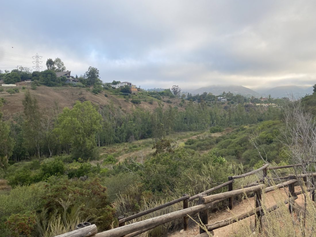
Since Campo Alto was just up the road from the trailhead, we made the short drive to see it. This was where we initially had planned to camp this weekend, but some campsites were closed due to tree hazards, and ours was one of them.

Dave parked near the summit and I took a short walk— first to the radio tower then over to the actual summit of Cerritos Noroeste. I looked to see if there might be a register, but given its proximity to the campground, I doubted it. I grabbed a few photos and went back to the Jeep and some more adventures…


Buy Me a Coffee at ko-fi.com

I am an avid peak bagger, sometimes backpacker, and former sea kayaker living in San Diego. I am the co-author of Urban Trails:San Diego, coming in Spring 2026!

In 2019, I became the third person to complete the San Diego 100 Peak Challenge. Not stopping with that accomplishment, I set my sights on the harder San Diego Sierra Club 100 Peak list, which I completed in 2021. In addition, I have conquered several Six-Pack of Peaks challenges (SoCal, San Diego, Central Coast, and both the Arizona-Winter and Arizona-Summer). I am looking forward to exploring new summits and new adventures across the southwest. 

Sawmill Mountain (via West Tumamait Trail)

After a decent night’s sleep in my tent, we made a lovely breakfast of real scrambled eggs, toast, and coffee before heading out. The plan today was to drive over to the West Tumamait trailhead and approach Sawmill from the west. When we arrived at the trailhead, three other cars were parked alongside the road. We found a spot, grabbed our gear, and began our trek.

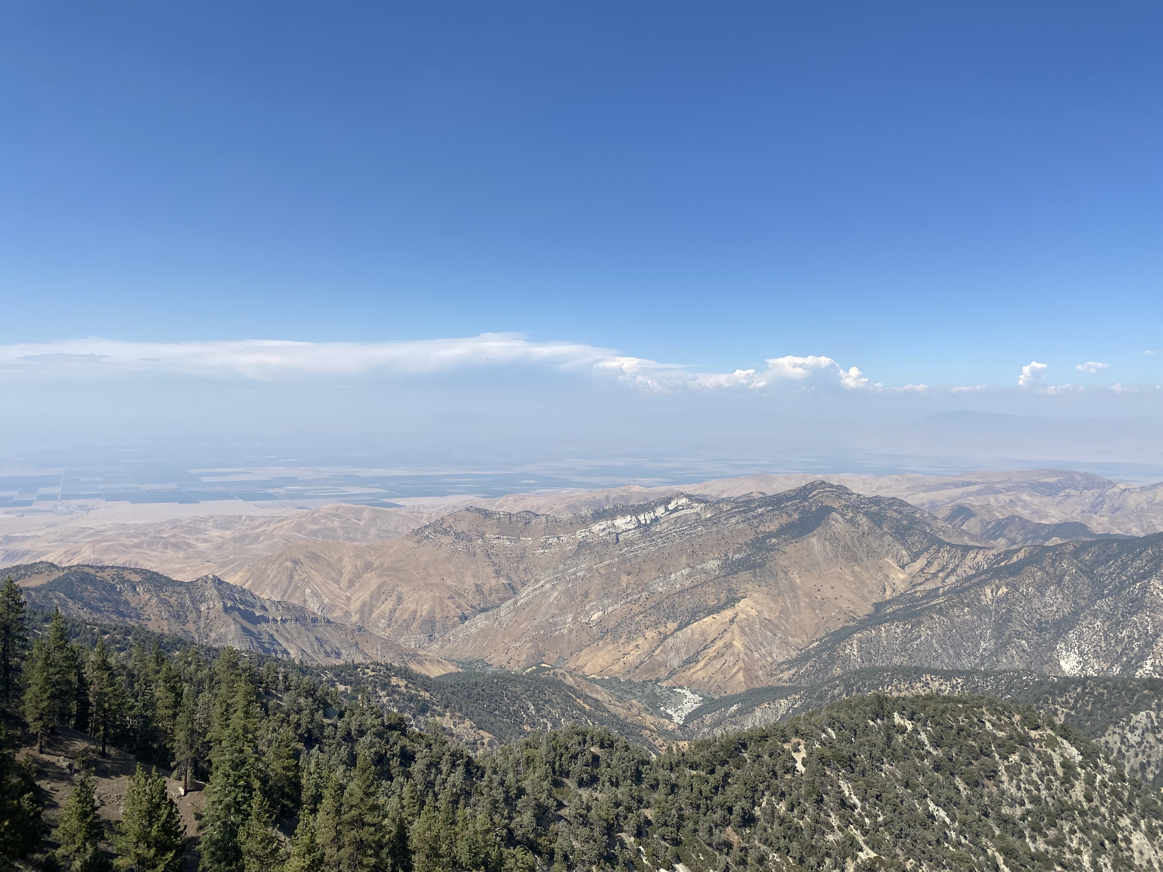
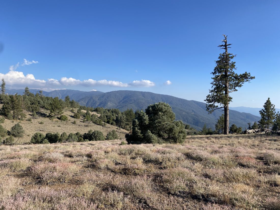
Our route started with a steep 1/2 mile descent along a ridge. I think we would lose about 500 feet of elevation, which would taint us on our return. Off to the east stood Grouse Mountain. We reached Puerta del Suelo and now it was time to start regaining the elevation we lost and more. I could feel the altitude and where my recovery was and I was feeling all of it as I plodded upward. I told Dave and two of his sons to go on ahead and met them at the junction with the trail to Grouse. While they were fine having me set the pace, I felt too guilty about my slow pace. 

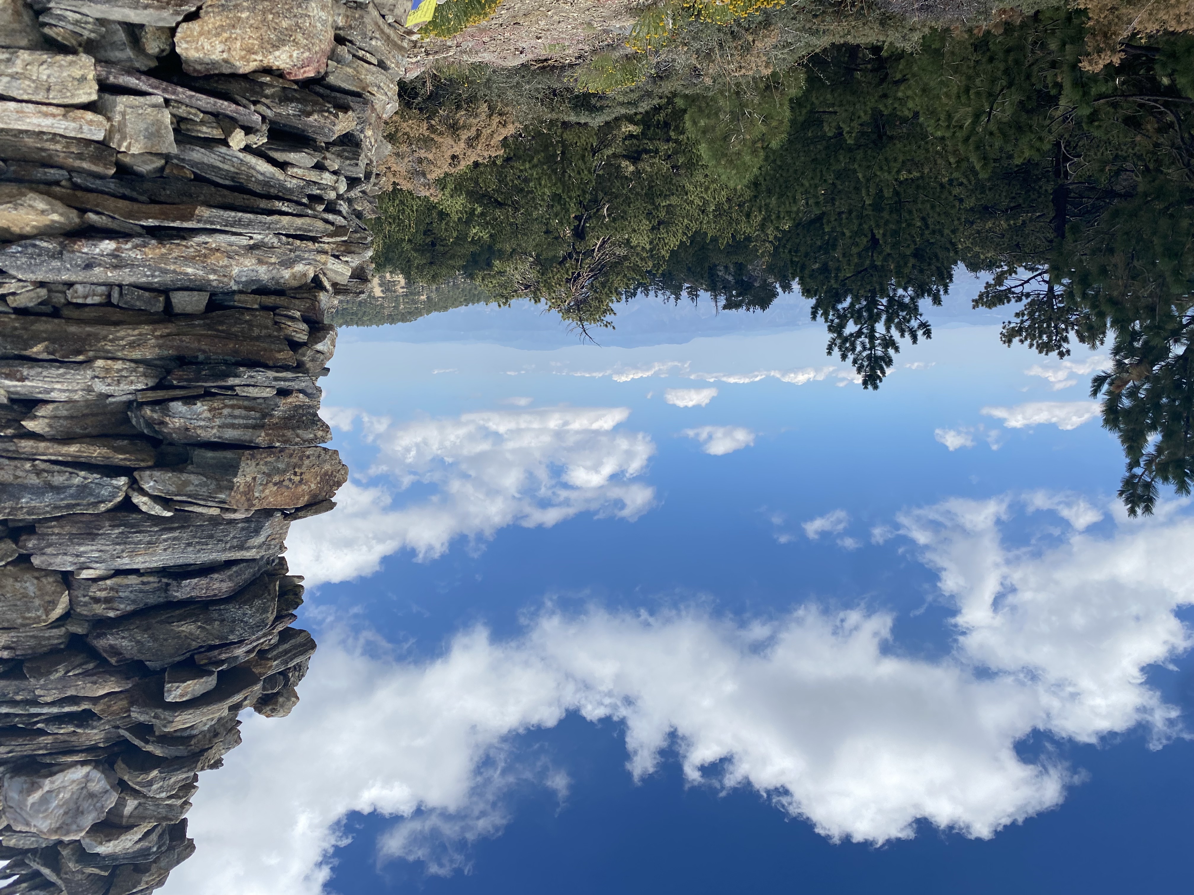
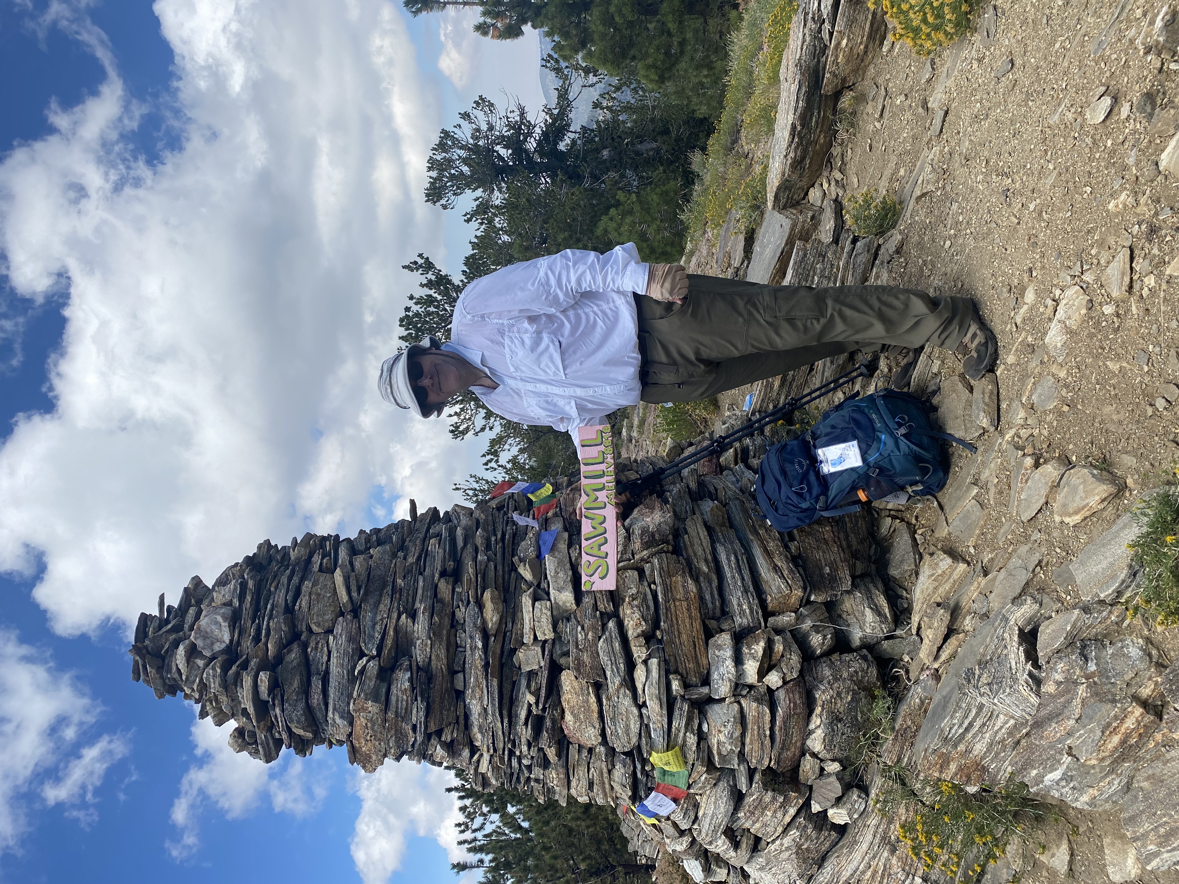
We regrouped at the junction, and I took a short break. For the most part, I kept plodding along, never stopping for more than a breath or two. We continued climbing, passing the turn-off to Sheep Camp. I gave them the directions to look for the turnoff to Sawmill. As I approached it, they were not there. Another hiker was just coming from the other direction and I asked if he saw three hikers, he replied that he just saw them. So with a strong shout, I yelled and got Dave and the boys to return. Where there had usually been an X made of tree limbs to mark the trail, it wasn’t there and they walked past it. Now back together, we strolled up to the monument. After snapping some photos, we enjoyed a well-earned lunch. However, the final climb back to the trailhead weighed heavily on my mind.

Dave, unfortunately, developed a blister that we had first addressed back at the Grouse junction stop. It was still bothering him, so he applied some duct tape to the area. Once that was (hopefully) resolved, we set off and began to retrace our route. Along the way, I crossed paths with a pair of hikers I met while making the climb to the Grouse Junction. They were doing the whole traverse from Mt. Pinos to Cerro Noroeste. Turns out one of them was also doing the Six Pack of Peaks Challenge, so we chatted some before parting ways. We again regrouped at Grouse Junction. Neither of the boys felt adventurous enough to make the climb to it, so we continued on. I ate an energy chew just to give me a little more juice before the big climb. At the saddle, a hiker who had been with us on Sawmill was enjoying a snack after hitting Grouse and then going cross-country to his usual turn-around point. I said goodbye and began to climb.

My goal was to try to be mindful of my heart rate and pace myself. Some afternoon clouds had formed and gave me some shade which I welcomed, as a modest portion was exposed. Soon I spotted the trailhead and pushed on. That route was certainly a harder option than the traditional route from the east. All told the hike covered 5.8 miles with 1,485 feet of gain. 


Buy Me a Coffee at ko-fi.com

I am an avid peak bagger, sometimes backpacker, and former sea kayaker living in San Diego. I am the co-author of Urban Trails:San Diego, coming in Spring 2026!

In 2019, I became the third person to complete the San Diego 100 Peak Challenge. Not stopping with that accomplishment, I set my sights on the harder San Diego Sierra Club 100 Peak list, which I completed in 2021. In addition, I have conquered several Six-Pack of Peaks challenges (SoCal, San Diego, Central Coast, and both the Arizona-Winter and Arizona-Summer). I am looking forward to exploring new summits and new adventures across the southwest. 

Brush Mountain

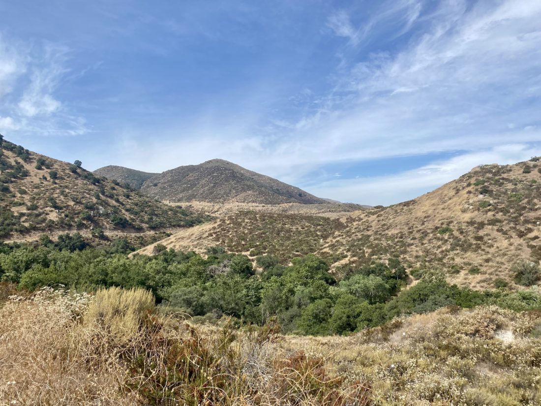
With Sawmill Mountain such a long drive from San Diego, I looked to do it as some kind of overnight adventure. I knew I was not ready to backpack it again, so I convinced my good friend Dave to come do it as a traditional camping trip. He has an awesome off-road trailer and a Jeep to pull it, so we would have a very comfortable stay. Initially, I reserved a spot at Campo Alto Campground, but due to some tree hazards, they canceled us. Looking around I found Marian Campground. The campground is primitive, and despite what is stated on the website, there are no pit toilets. I met Dave at his house and transferred my gear to the trailer and we set off. After a quick stop to pick up his oldest son in Santa Monica, we made it to the campground in the late afternoon. The drive up the dirt road was not a problem, and we only dropped into 4wD due to the weight of the trailer and the four of us. We pulled in and had our pick of the five spots. After setting up, I went off to bag my first peak. Just to the west of the campground stands Brush Mountain, #115 on the Sierra Club Hundred Peaks Section list. I followed the steep road toward the summit, enjoying the views. Once I reached it, according to my GPS, I looked around for a register but came up empty.

I decided to continue along the road to Brush Mountain-North Peak, as I thought I read the register was there. Again no luck, but still had rewarding views. I retraced my route and was greeted by the rest of my campmates busily finishing up making dinner. Grilled chicken, veggies, and rice. A nice step up from a Mountain House Meal! We enjoyed a nice fire for a while, then around “hiker midnight” we turned in. Tomorrow we were driving over to near the campground we initially wanted to stay at and hike Sawmill Peak from the West Tumamait trailhead. I have never hiked this section so it was going to be an adventure!


Buy Me a Coffee at ko-fi.com

I am an avid peak bagger, sometimes backpacker, and former sea kayaker living in San Diego. I am the co-author of Urban Trails:San Diego, coming in Spring 2026!

In 2019, I became the third person to complete the San Diego 100 Peak Challenge. Not stopping with that accomplishment, I set my sights on the harder San Diego Sierra Club 100 Peak list, which I completed in 2021. In addition, I have conquered several Six-Pack of Peaks challenges (SoCal, San Diego, Central Coast, and both the Arizona-Winter and Arizona-Summer). I am looking forward to exploring new summits and new adventures across the southwest. 

Lake Hodges (via Sikes Adobe)

My second hike for this year’s Coast to Challenge was to hike from the Sikes Adobe Historic Farmstead to the Bernardo Mountain turn-off. I actually had this as one of my rehab hikes, as I had never done the section from the Adobe to where the trail connects with the bridge. I parked in the small lot across from the Adobe and set off on the paved trail. This section parallels the I-15, so be prepared to listen to the rush of the traffic. The trail ducks under the freeway. As I looked at the dry lake bed, I recalled sitting in my kayak at this same spot while calling my mom to wish her a happy birthday…

The trail now leaves the I-15 behind and links up to the pedestrian bridge. This is a trail I have hiked many times, so I just cruised along. A few runners passed by, along with a mountain biker or two. The trail is closed after sunset, as it is a designated wildlife corridor. I crossed the wooden bridge, which appears to have suffered some damage. At the junction with the trail that would lead to the summit of Bernardo Mountain, I took my required photos and retraced my route. I thought the hike was going to clock in about 4 miles, but my tracker logged it at 3.6 miles. 


Buy Me a Coffee at ko-fi.com

I am an avid peak bagger, sometimes backpacker, and former sea kayaker living in San Diego. I am the co-author of Urban Trails:San Diego, coming in Spring 2026!

In 2019, I became the third person to complete the San Diego 100 Peak Challenge. Not stopping with that accomplishment, I set my sights on the harder San Diego Sierra Club 100 Peak list, which I completed in 2021. In addition, I have conquered several Six-Pack of Peaks challenges (SoCal, San Diego, Central Coast, and both the Arizona-Winter and Arizona-Summer). I am looking forward to exploring new summits and new adventures across the southwest. 

San Dieguito Lagoon Trail

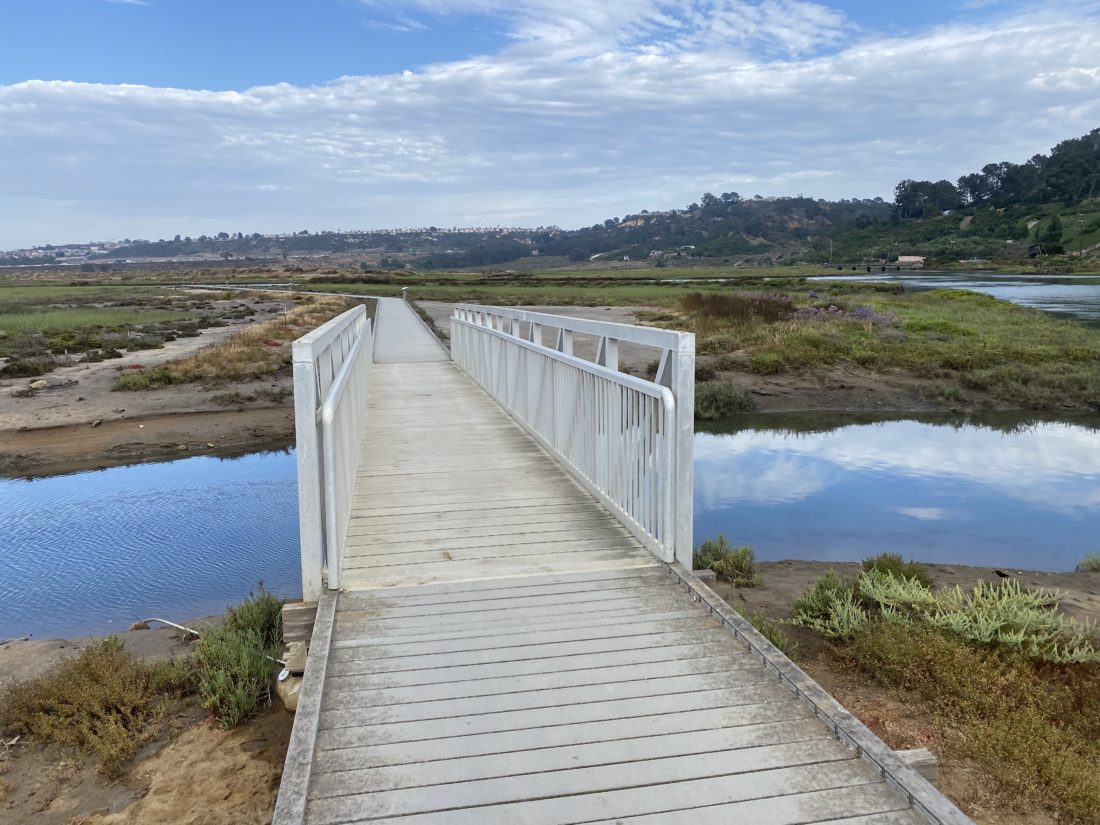
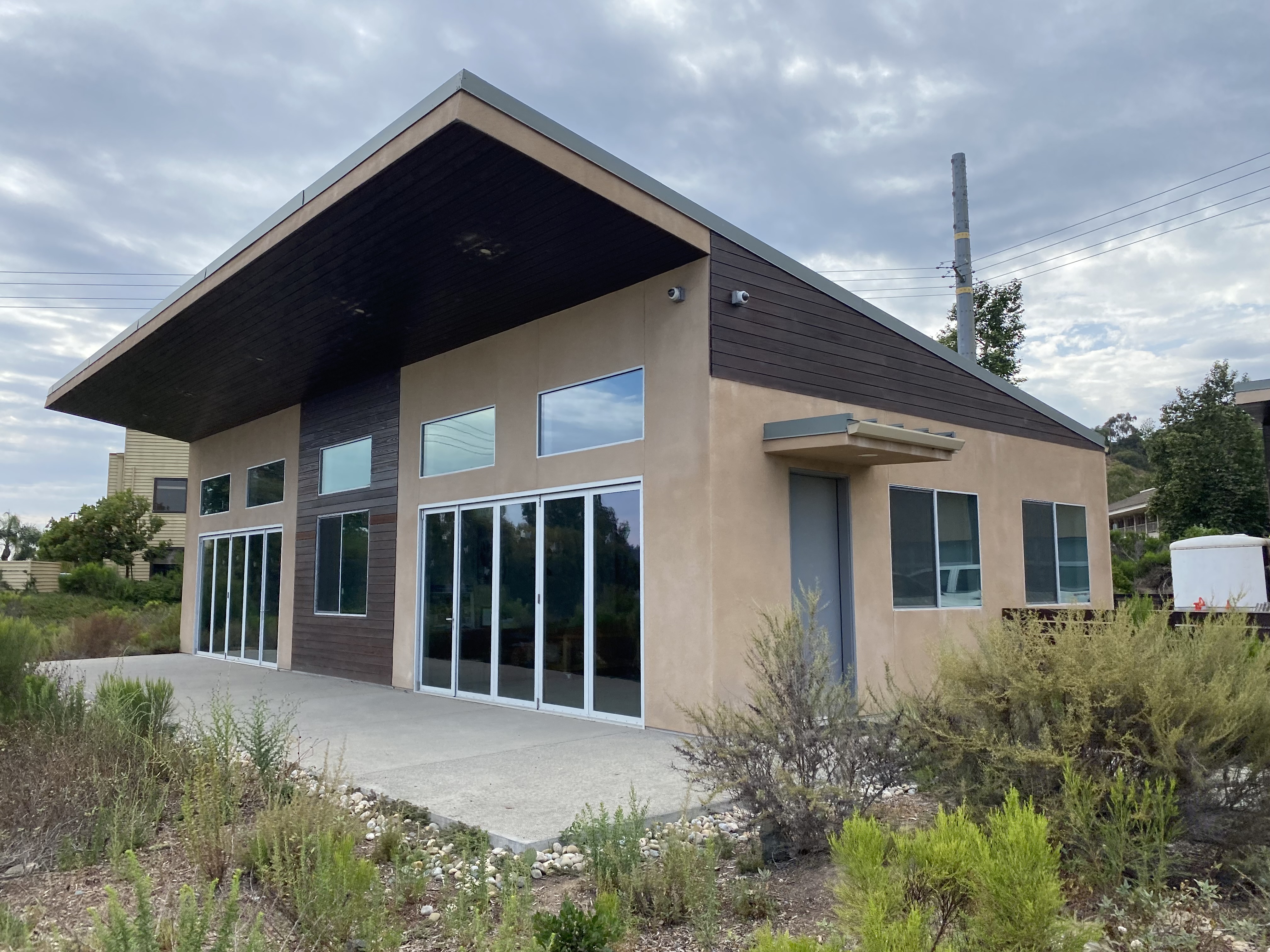
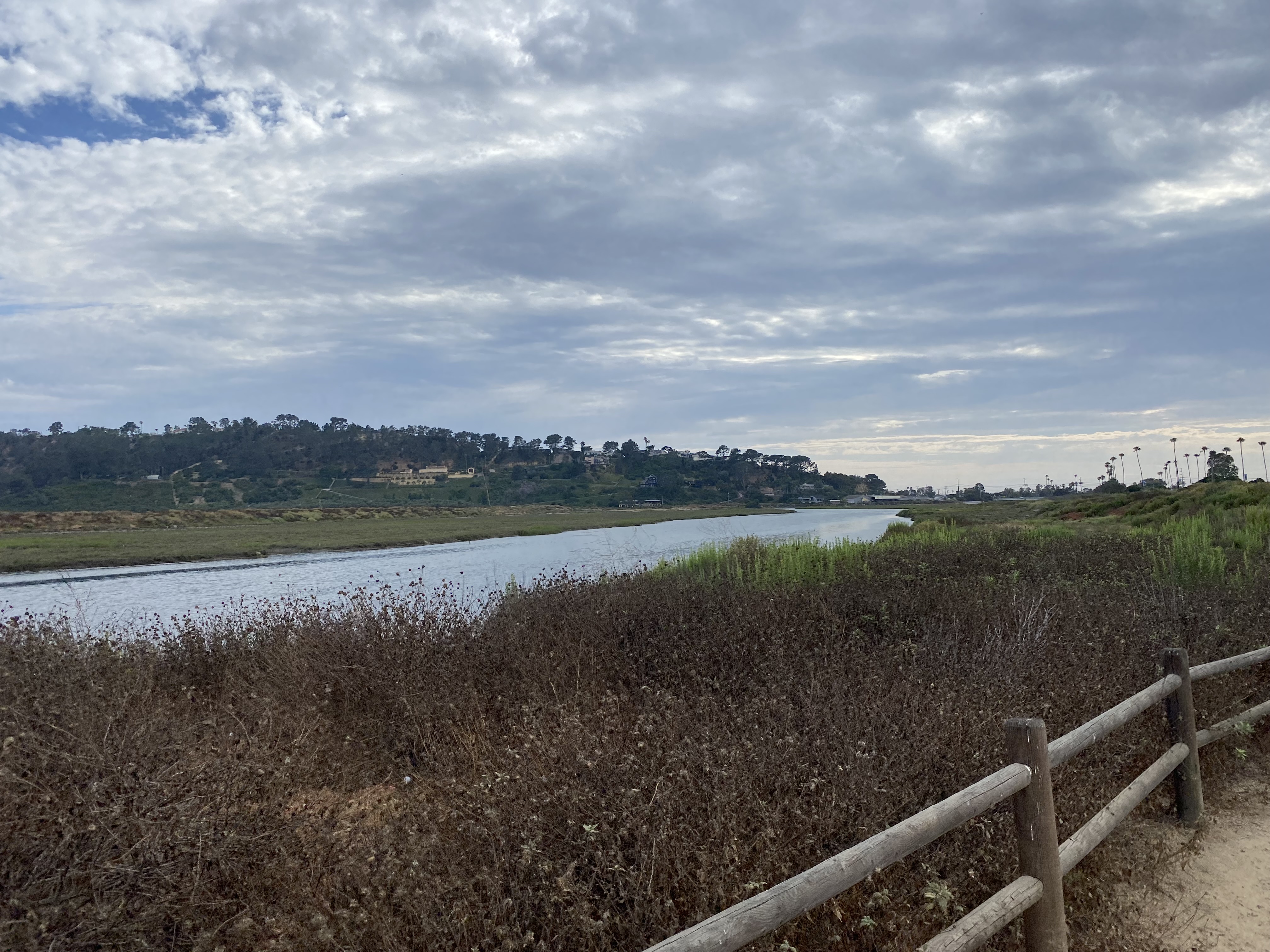
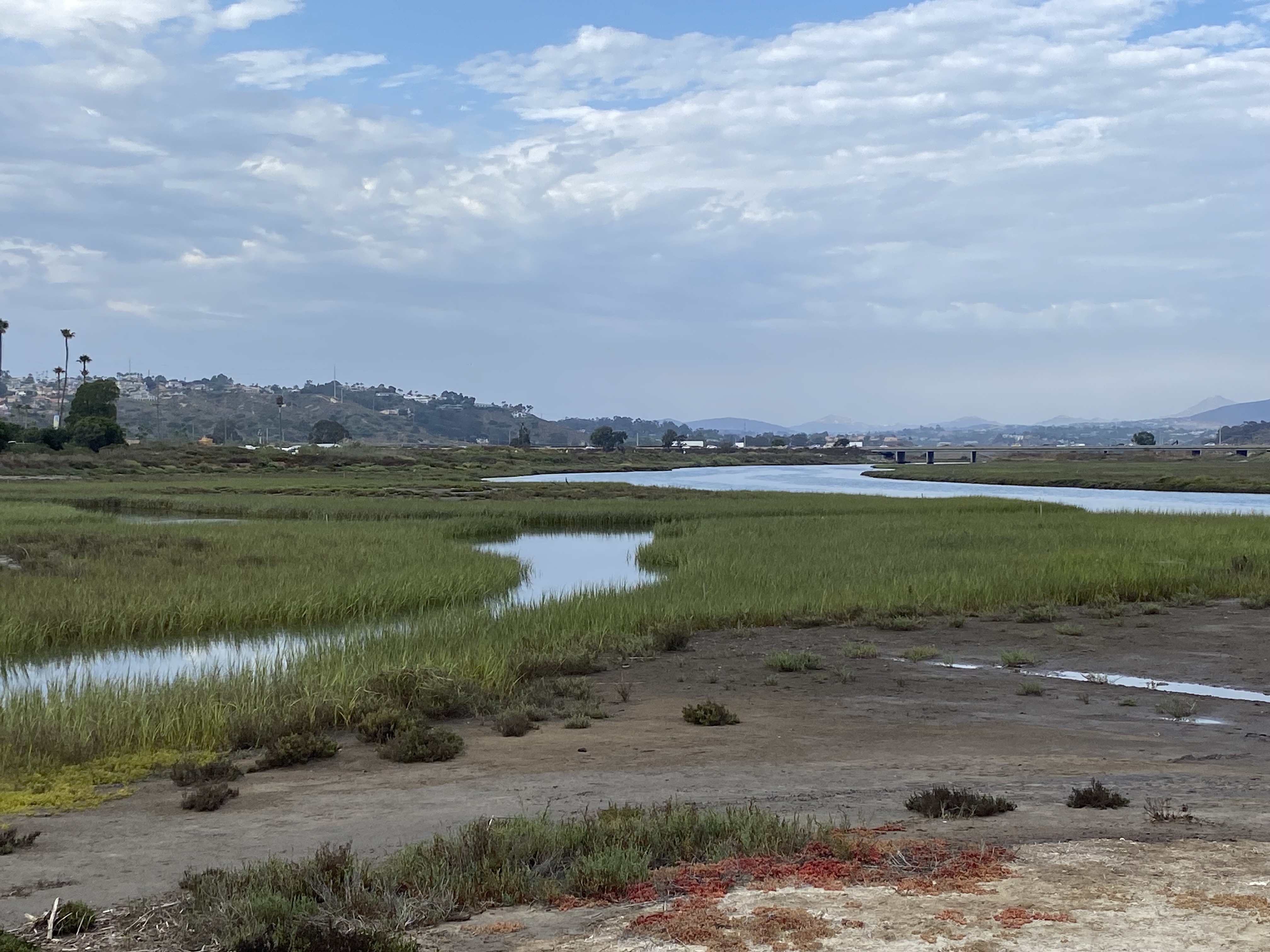
Every summer the San Dieguito River Conservancy publishes their Coast to Crest Challenge. Each challenge is a series of five different hikes along the various trails that make up the entire system. While some new sections have been recently acquired, they are not ready for hikers yet, so we get to revisit trails that have been used in previous challenges. With the current heat wave, starting with the San Dieguito Lagoon Trail seemed like a smarter choice. I had recently hiked it with some friends as a “warm-up” before brunch at Viewpoint Brewery. Since this was a Monday, they were not open for a mid-hike refreshment. My wife and our dog decided to join me for this early evening stroll. We parked next to the ranger station, just to have a better recorded track.

We cruised along the wide and well-groomed trail, stopping from time to time for a water break for our dog. Instead of going all the way to the overlook, the turn-around point this time was the end of the boardwalk, just north of Viewpoint. I tried to get a selfie of all three of us but gave up as Rocky was just not interested. We cruised back to the car, passing just a few folks along the way. 


Buy Me a Coffee at ko-fi.com

I am an avid peak bagger, sometimes backpacker, and former sea kayaker living in San Diego. I am the co-author of Urban Trails:San Diego, coming in Spring 2026!

In 2019, I became the third person to complete the San Diego 100 Peak Challenge. Not stopping with that accomplishment, I set my sights on the harder San Diego Sierra Club 100 Peak list, which I completed in 2021. In addition, I have conquered several Six-Pack of Peaks challenges (SoCal, San Diego, Central Coast, and both the Arizona-Winter and Arizona-Summer). I am looking forward to exploring new summits and new adventures across the southwest. 

Toro Peak – West Peak

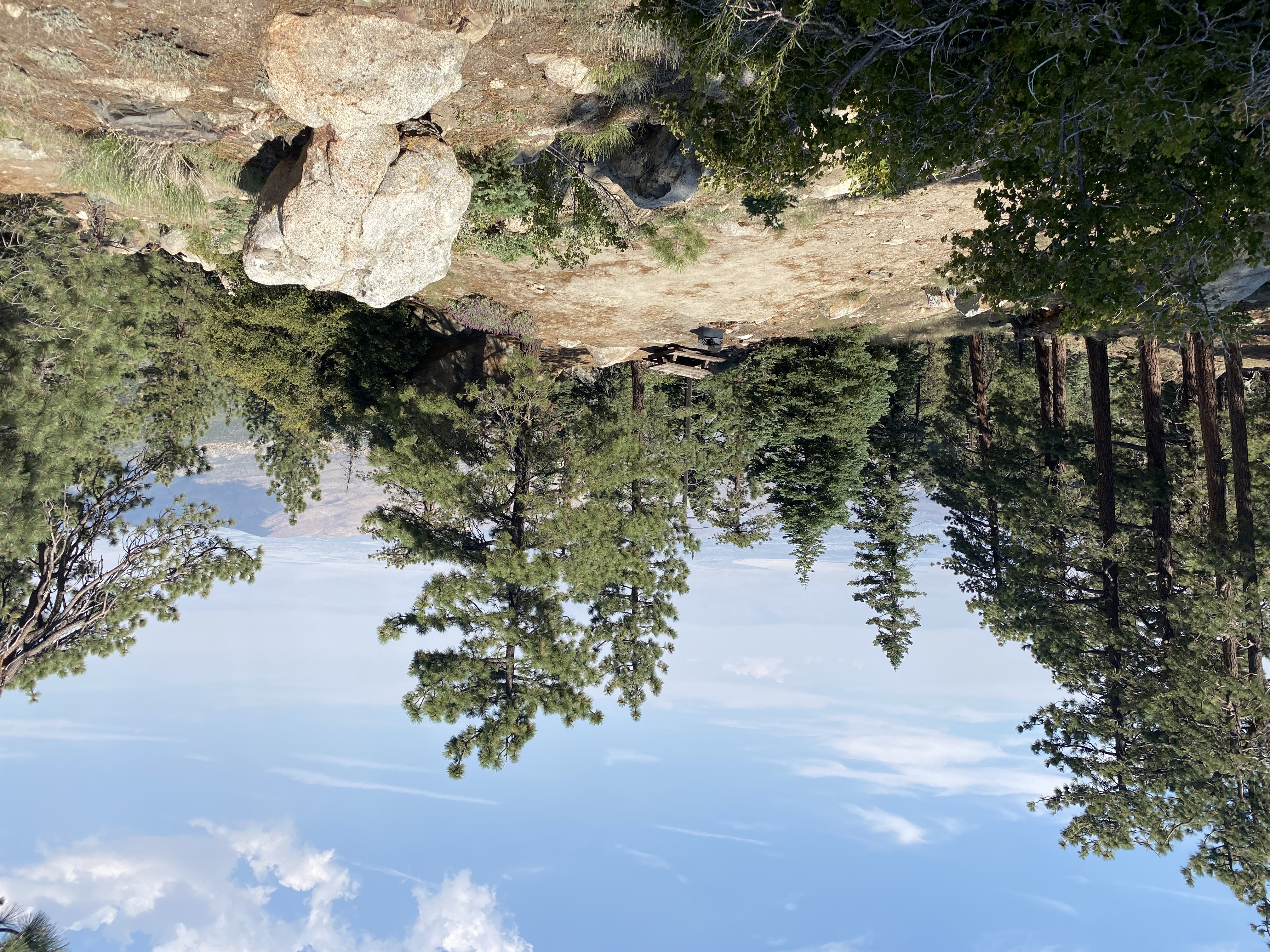
After the punishing heat atop Santiago, I knew I wanted to hike somewhere cooler this weekend if possible. After some research, Toro Peak, technically Toro Peak – West Peak, seemed like a nice option. The actual climb to the summit wasn’t too long, and to offset the drive, there were camping options. So, after checking with the family, I loaded up the Subaru for the adventure. The one gamble was all the sites, known as Yellow Post Sites, are first-come, first-served. So, there was a chance they could all be taken by the time I got there. I left mid-afternoon on Friday and made my way out to the Santa Rosa mountains. I pulled into the Santa Rosa Pit Stop and grabbed some firewood. Most of the Yellow Post Sites have fire rings and picnic tables. Alas, most do not have bathrooms. I turned off onto the dirt road that I would take up the mountain, keeping an eye out for cars and looking for points of interest. The road was fair, a little rocky at times, and there are sections where passing might be troublesome. Any regular truck or SUV would do just fine on it. As I made my way further and further up, I passed the painted rock and trees that offered their insights on past wildfires.

Each of the Yellow Post Sites is numbered, and I decided to see if #5 was still available. After one tricky section, I pulled into the spot. There was a nice level section for the car, so I parked and began setting up. The nice thing about car camping is it really doesn’t take long to set up. Just to the north of my campsite was the summit of Santa Rosa Mountain (HPS #67). I grabbed a trekking pole and strolled up the road. Atop the summit there is a huge fireplace, all that remains of a cabin that once stood there. I scrambled to the top of the summit rocks and took in the view. A hint of smoke filled the air from the Bonnie Fire, burning off to the west. There are actually two Yellow Post sites here as well, and I did consider relocating, but since it was just me, I was fine with my site. As I returned back down from my stroll, some ideas for a work project had gelled in my head, so I grabbed my notebook and sketched them down. Depending on where I stood, I had some cell signal, so I checked in with the family. Peakbagger showed another summit just off to the southwest of me, so I was off for another mini-trek.

I climbed the short slope onto the ridgeline and then followed it for a short while until I reached its summit. I brought my Garmin, just in case. Once at the summit I found a nicely shaded rock and wound up taking a short nap. Once back at camp, I began prepping my fire and watching the sun slowly set. The moon had risen and I could see Toro Peak directly off to my east. That peak is on the Santa Rosa Indian Reservation and is off-limits. I tried to spot the “replacement” peak but had no luck. I lit my fire and later enjoyed my dinner and beverages. With the bright moon, I knew that any real star-gazing would not be in the cards, so I crawled into the car and went to sleep. 

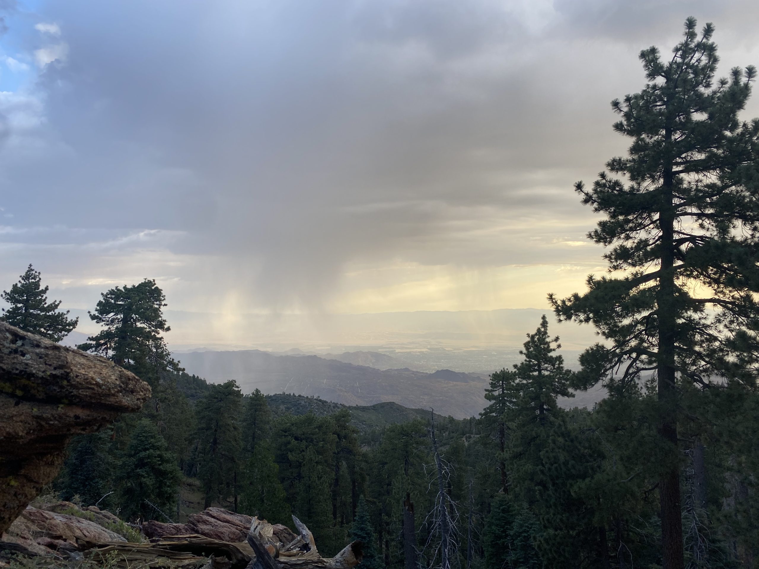
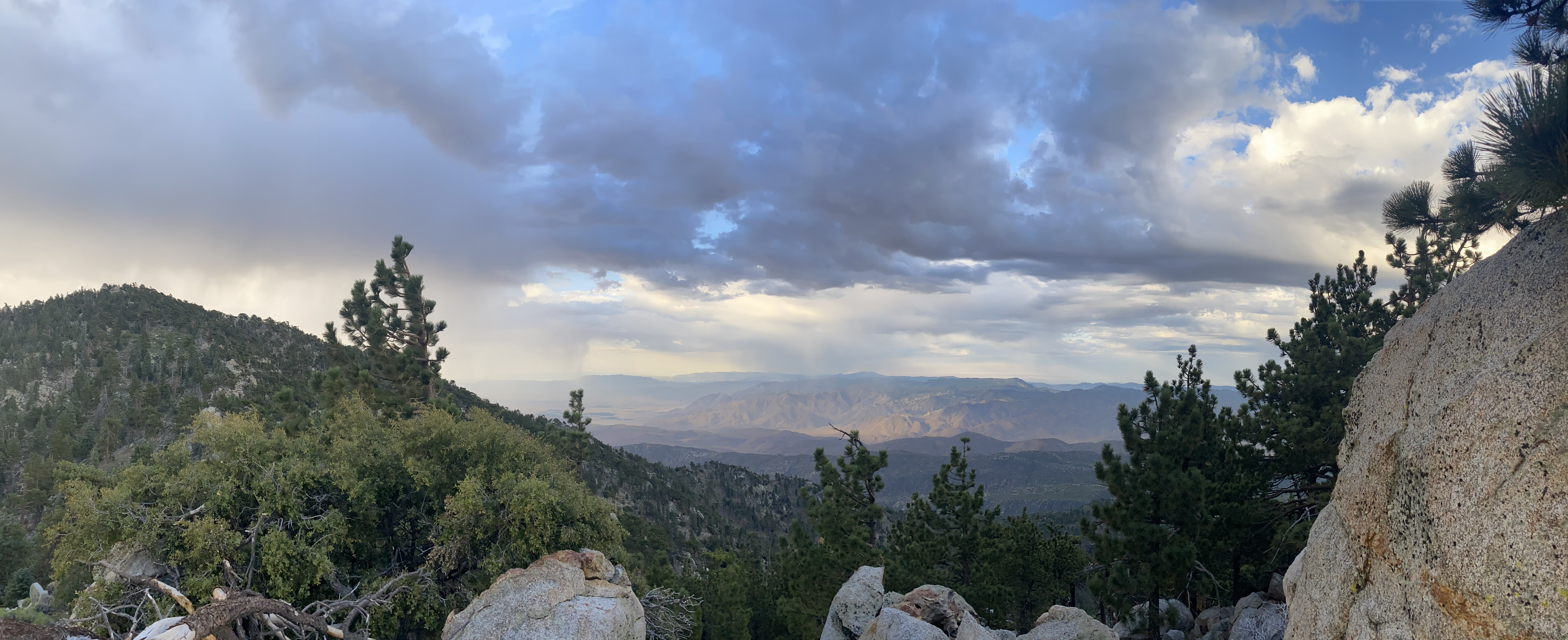
For some reason, I did not sleep all that well. I woke up just before dawn and was thankful to get a lovely photo of the pre-dawn sky. Rather than start from where I had camped, I decided to continue driving toward the trailhead and start somewhere closer. According to the map, there was a vault toilet about a mile to the east at a cluster of three campsites. I parked at the one closest to the road. All three were empty, so I did not have to worry about waking anyone up. As I gathered my gear, a rainbow appeared to the west. I already had a few sprinkles coming down on me when I was packing up, so a rain jacket was added to the pack. The first part of the hike followed the main road toward Toro Peak. 
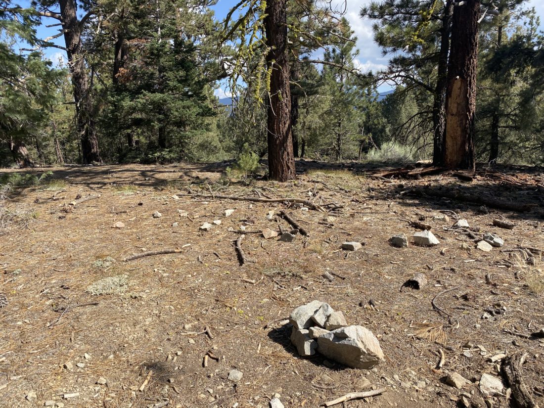
I spotted the cairn that marked the steep gully that I would follow up to the saddle. I left the road and began working my way up the steep and pine needle-covered slopes. To give a sense of the steepness, the average grade was about 28%, and coupled with being at almost 8,000 feet, my lungs were working overtime. Once at the small saddle, I turned westward for the final push to the summit. It had sprinkled on me from time to time on my ascent, so I did not expect to linger too long on the summit. I found the register and signed in. The views were breathtaking, but I was mindful of the weather, so I headed back down. Pictures never do justice to the steepness of the terrain, but trust me, it was steep! Once back on the road, I quickly cruised back to the car. I did not have a real breakfast, so the Paradise Valley Café was calling my name. All told the hike was 2.6 miles and had an elevation gain of 775 feet. 


Buy Me a Coffee at ko-fi.com

I am an avid peak bagger, sometimes backpacker, and former sea kayaker living in San Diego. I am the co-author of Urban Trails:San Diego, coming in Spring 2026!

In 2019, I became the third person to complete the San Diego 100 Peak Challenge. Not stopping with that accomplishment, I set my sights on the harder San Diego Sierra Club 100 Peak list, which I completed in 2021. In addition, I have conquered several Six-Pack of Peaks challenges (SoCal, San Diego, Central Coast, and both the Arizona-Winter and Arizona-Summer). I am looking forward to exploring new summits and new adventures across the southwest.