Trip Reports

Santiago Peak

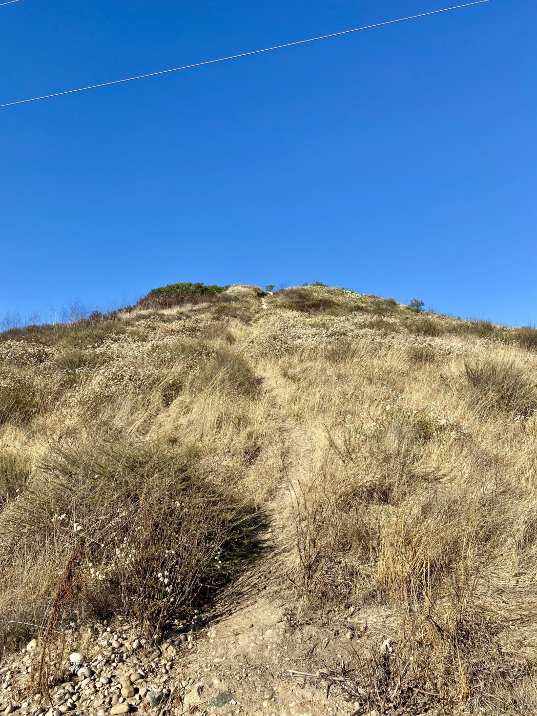
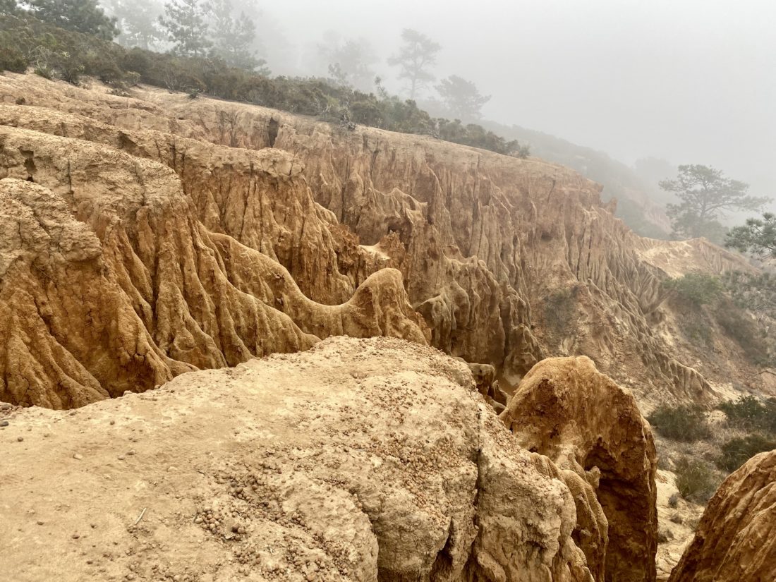
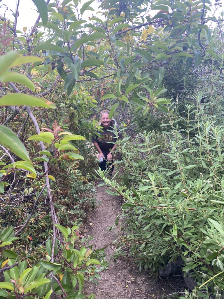
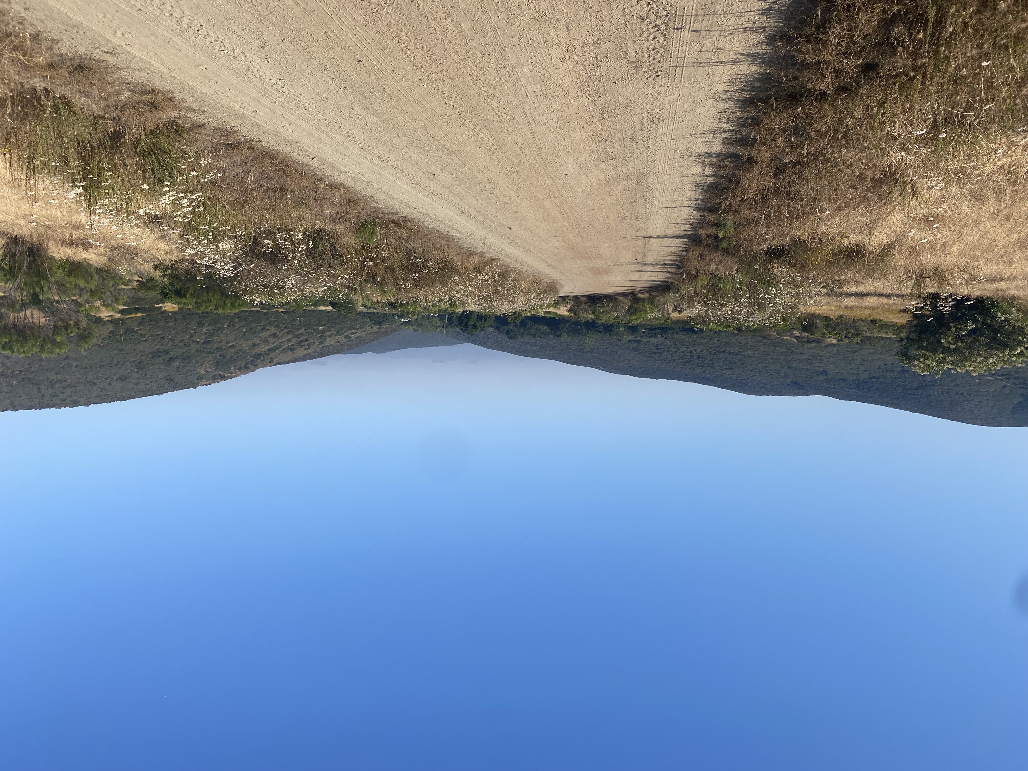
Today’s plan was to summit Santiago Peak, followed by Modjeska Peak. We drove up from the Maple Springs Trailhead to the pullout to start our adventures. The forecast from NOAA seemed to be good enough for us to hike the 5 or so miles for these summits. After applying a good amount of sunscreen, we set off to Santiago. It felt a light warmer than we wanted, but it was still pleasant enough. We reached the junction with the side trail that would allow us to leave the main road. I took the lead as we followed the slightly overgrown trail up toward the summit. The shade was welcomed, but there was now an uptick in the number of bugs that were beginning to swarm around us. We passed by the crashed truck. How it got here is a puzzle I would love to solve one day…

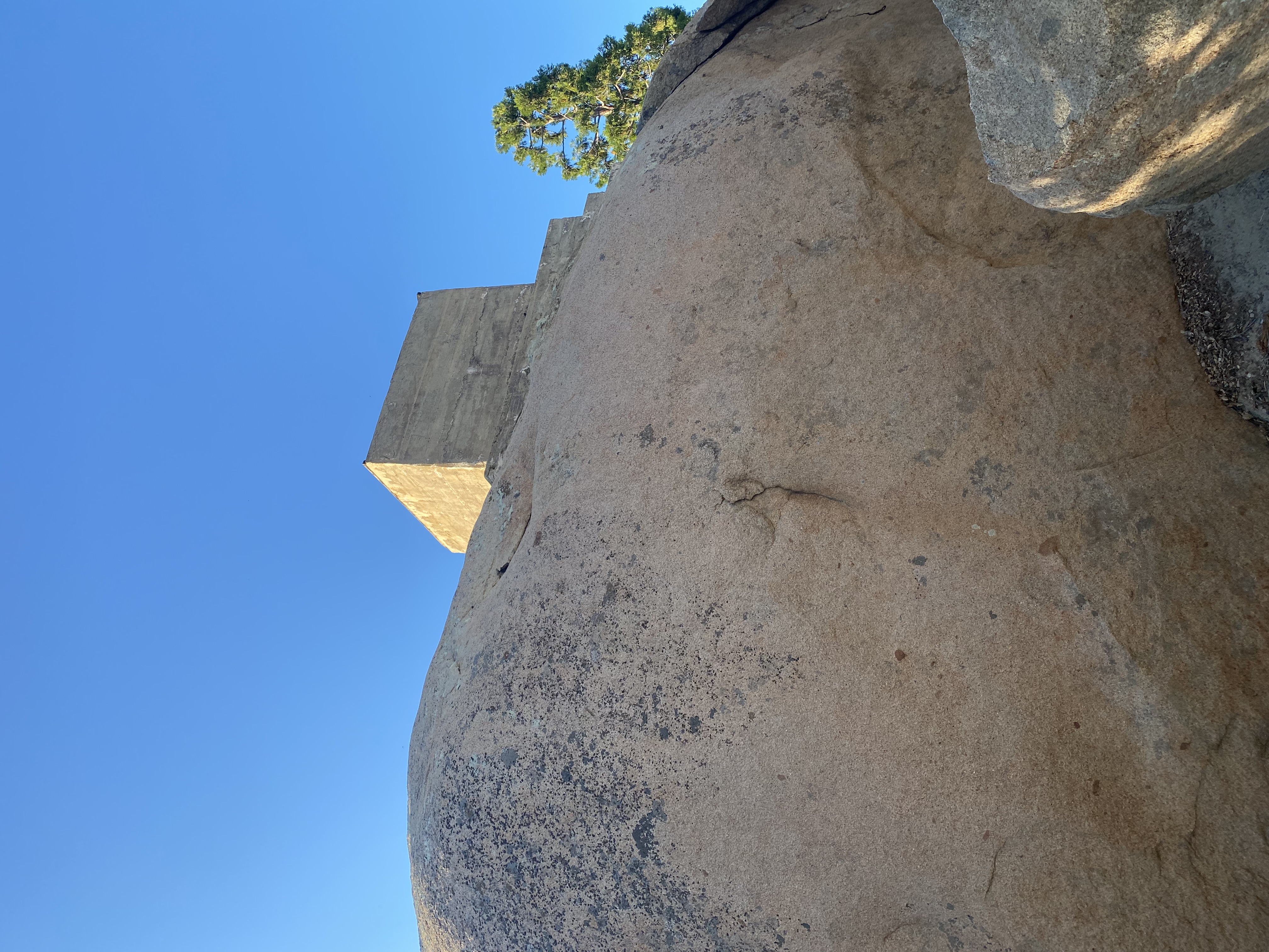
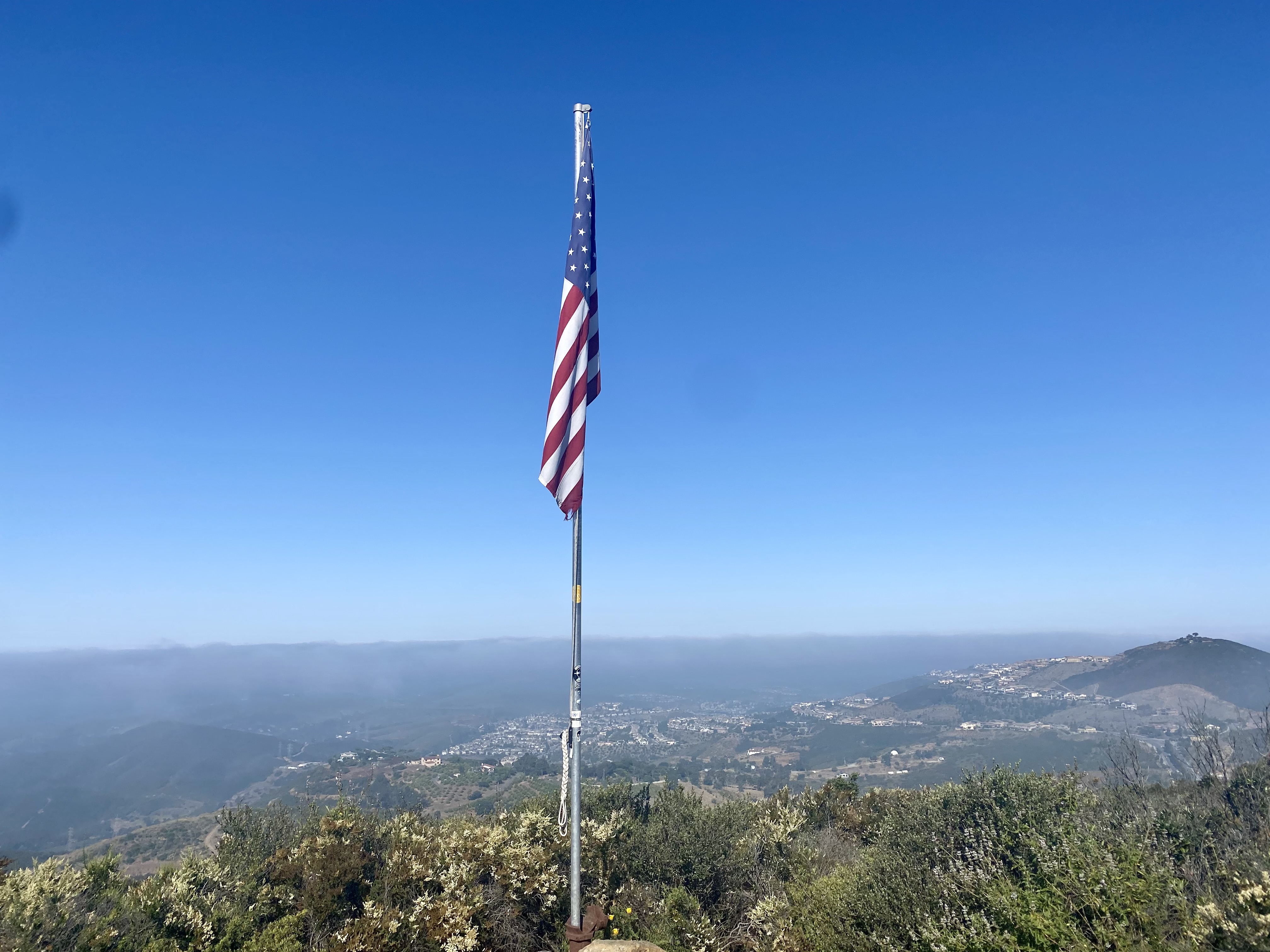
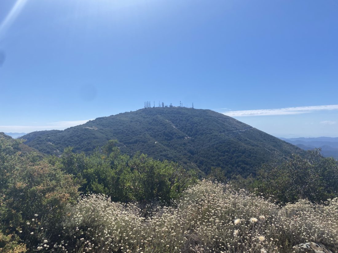
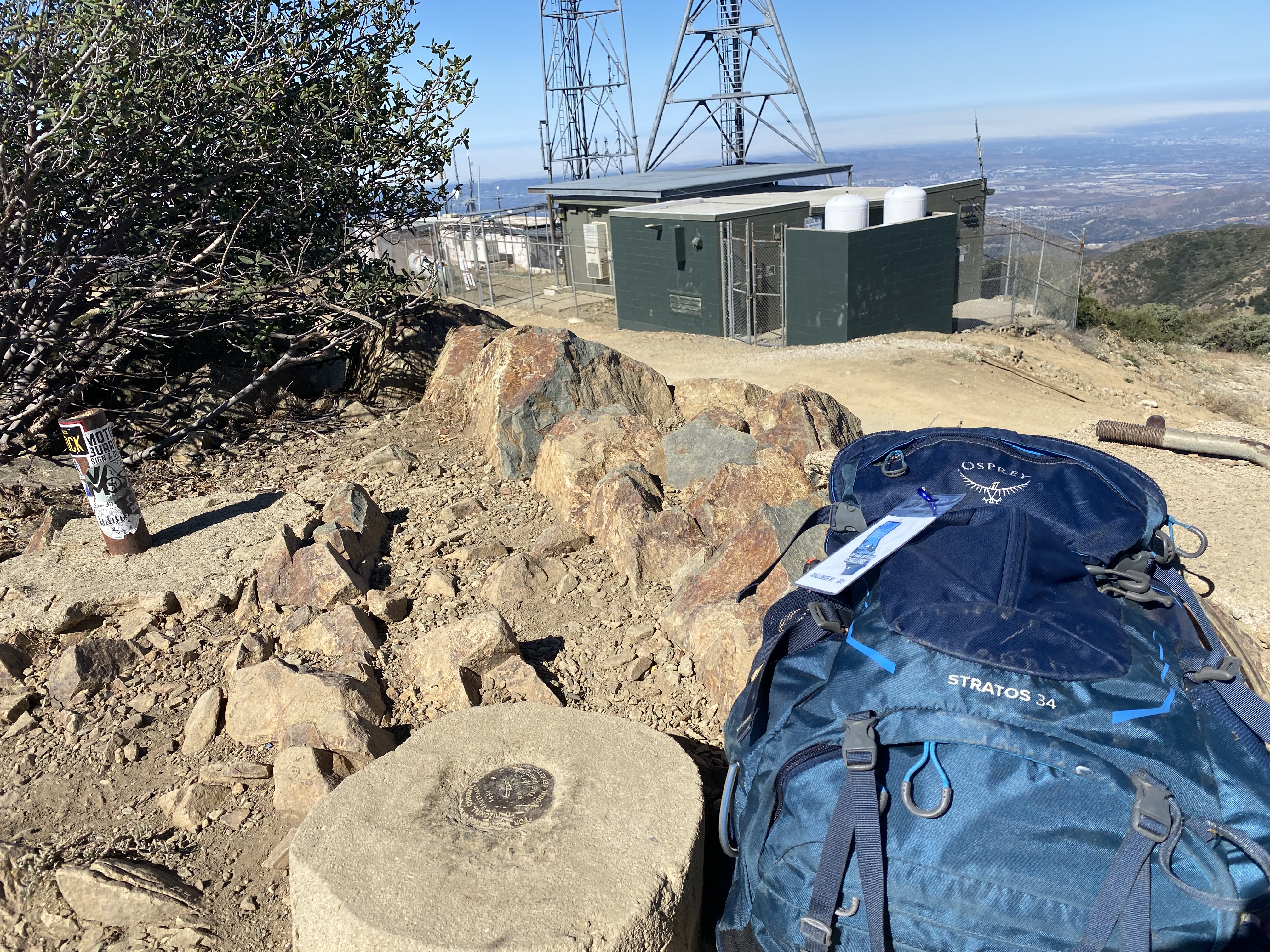
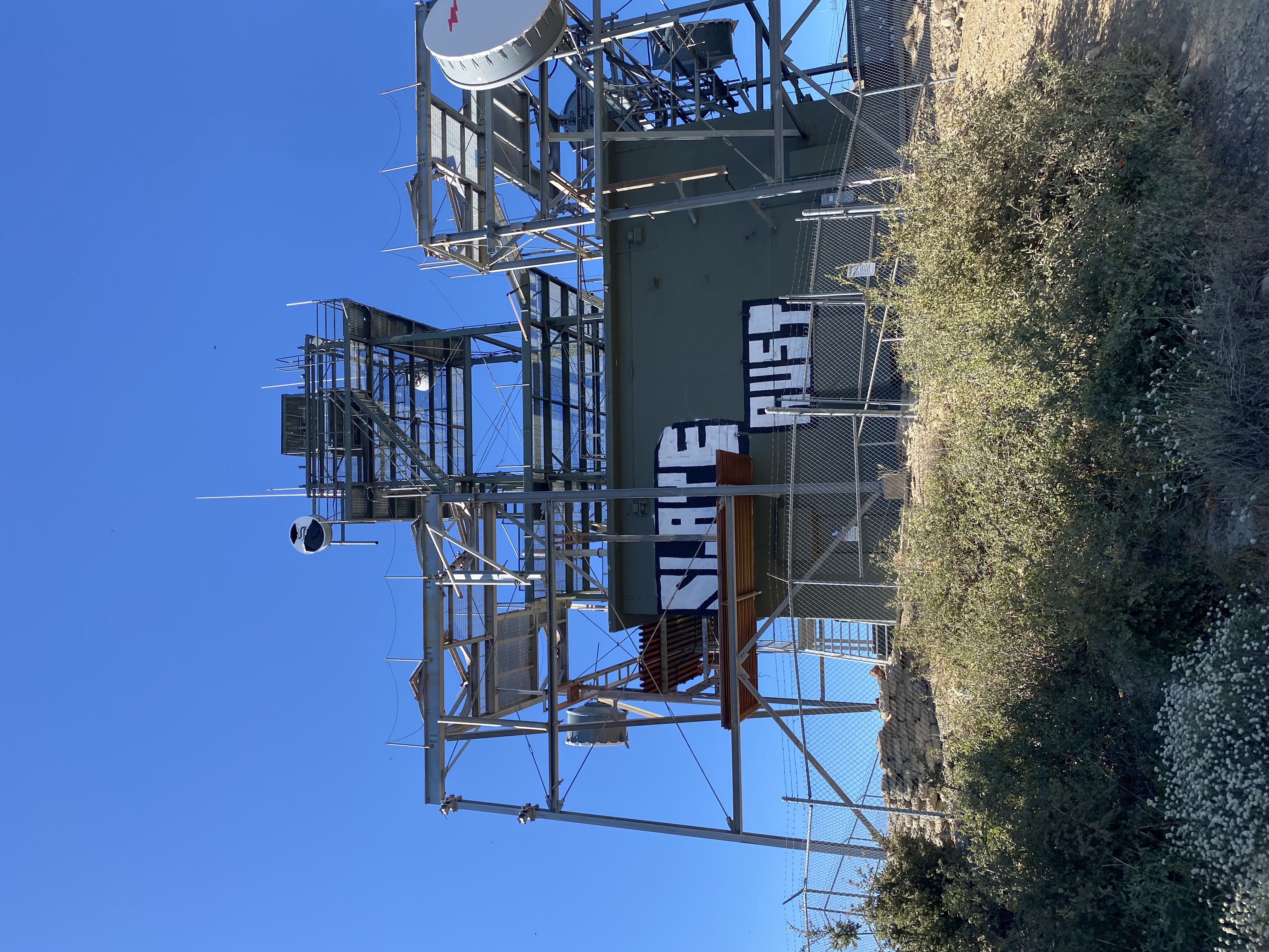
I kept pushing myself up the trail. I have to keep reminding myself that I am still rebuilding my fitness from being off-trail due to my foot for almost a year. The towers on the summit drew nearer, and soon we reached the summit. We snapped some photos and then found some shade to cool off under. But the bugs were just too bothersome to linger, plus it was getting toasty. 

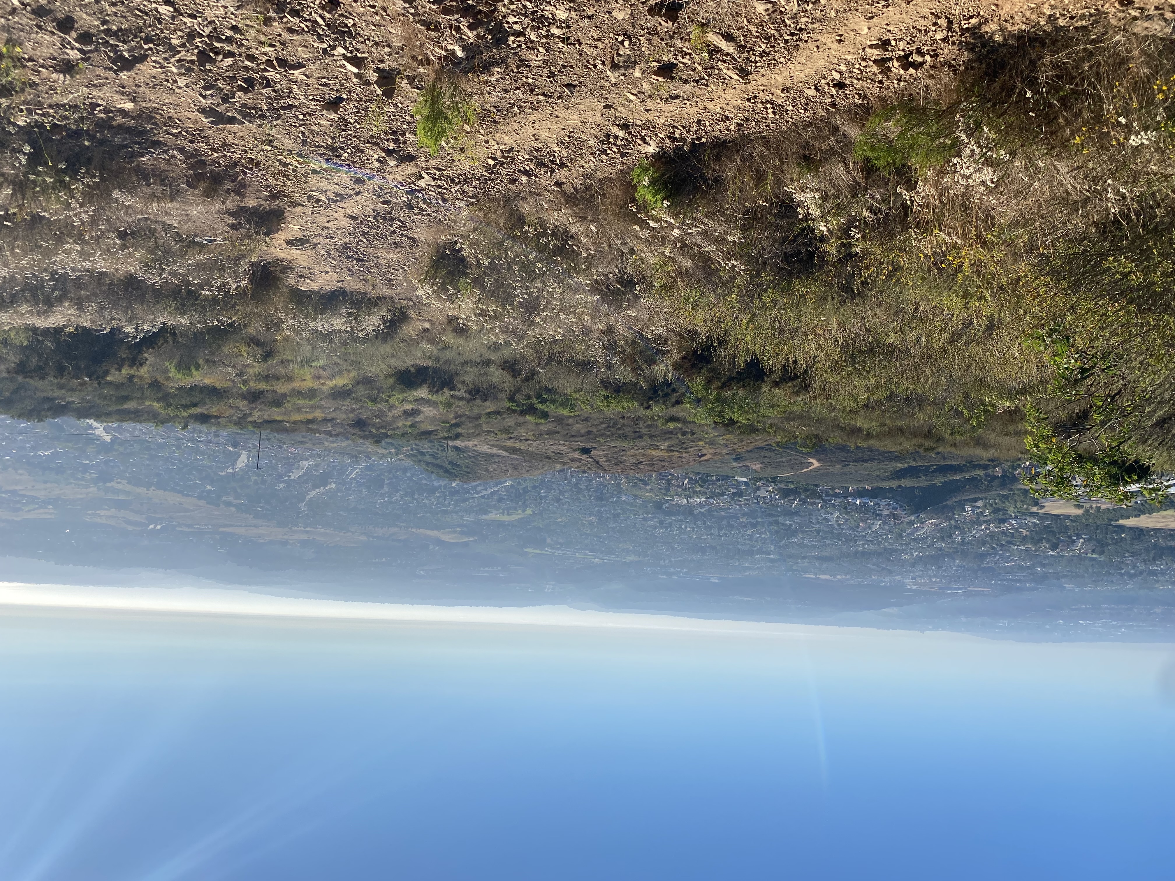
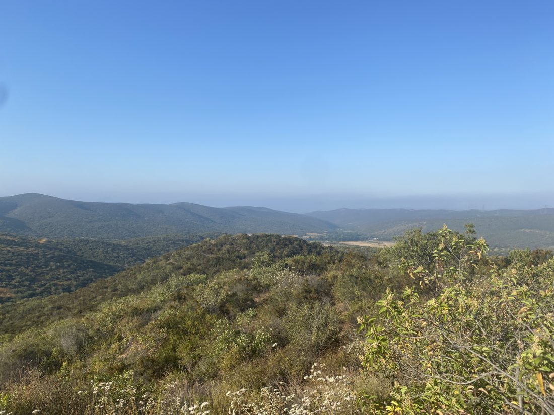
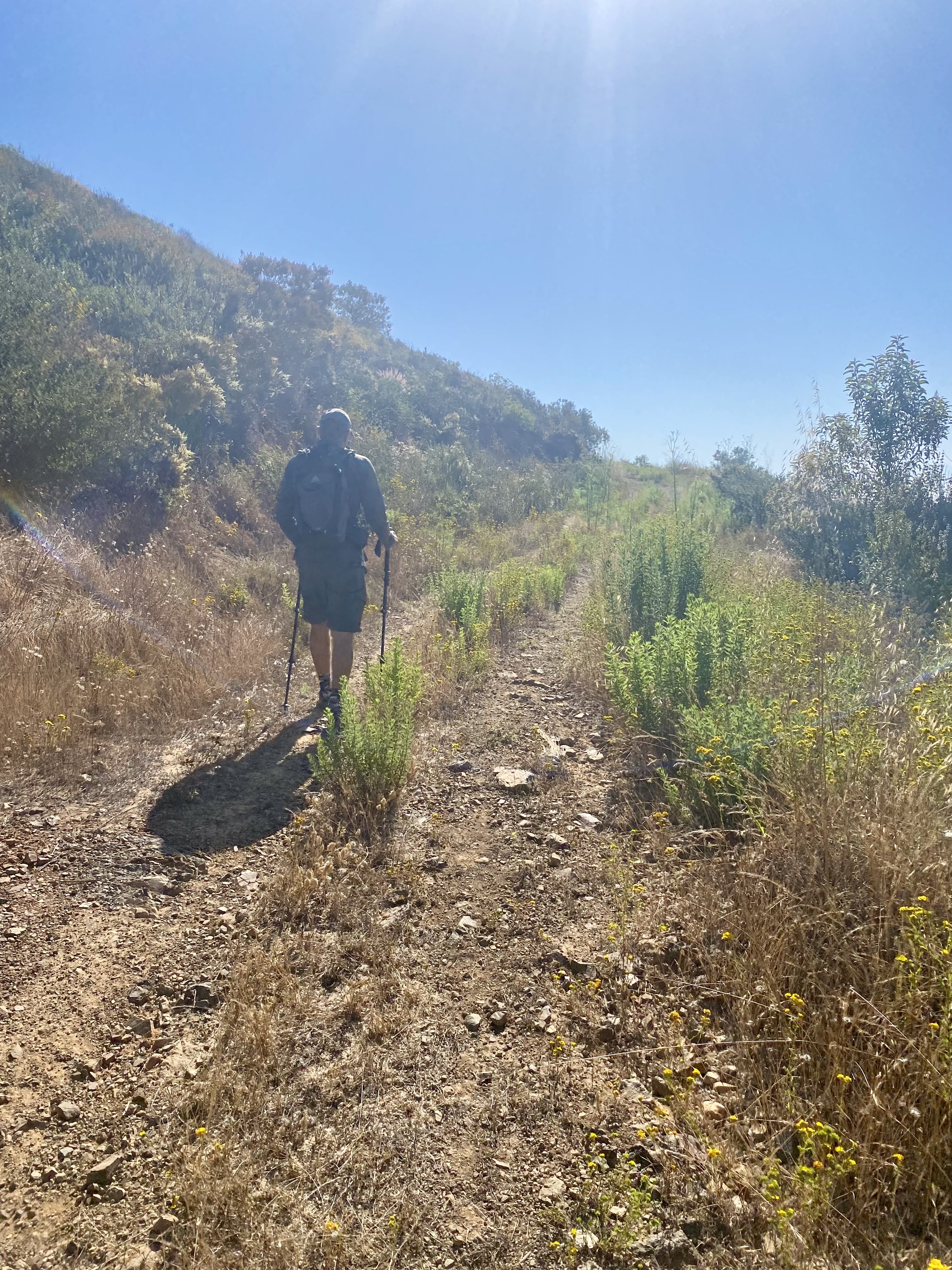
We retraced our route and found ourselves at the saddle between the two summits. Now we took a different trail that would climb toward the road that leads to Modjeska. The trail is a bit more exposed, so we could feel the sun beating down on us. Once at the junction, I found some shade to rest for a bit. Although the summit was about 1/2 mile away, I did not feel up to it (plus I had driving responsibilities). Modjeska was the peak that Susie was interested in summiting, so she set off for it. I cruised back down to the car and relaxed for about 20 minutes until Susie returned. She was thankful I had been running the AC in the car. The thermometer on the car read 101! WTF! That was a far cry from the mid-80s that were forecasted. 

While on the way up we only saw 2 motorcycles, but this time we had some traffic to deal with. One jeep was coming up way too fast and they had to dive into the brush to avoid the collision. I squeezed by them, but still got some new pin-strips on my car. Once back with some cell signal, we punched in the route home and our estimated time to home was over 2 1/2 hours! Switching apps, it found a route through the surface streets that avoid whatever mess was happening in Dana Point. While I would have liked to have gotten both peaks, I know I will be back as I have promised to bring Ted up here so he can work on his SoCal county high points. While the hike itself was only 4.3 with 1,020 feet of gain, part of the test was seeing how the foot would do with a bit more driving. So far it is feeling pretty good.


Buy Me a Coffee at ko-fi.com

I am an avid peak bagger, sometimes backpacker, and former sea kayaker living in San Diego. I am the co-author of Urban Trails:San Diego, coming in Spring 2026!

In 2019, I became the third person to complete the San Diego 100 Peak Challenge. Not stopping with that accomplishment, I set my sights on the harder San Diego Sierra Club 100 Peak list, which I completed in 2021. In addition, I have conquered several Six-Pack of Peaks challenges (SoCal, San Diego, Central Coast, and both the Arizona-Winter and Arizona-Summer). I am looking forward to exploring new summits and new adventures across the southwest. 

Wild Horse Trail

I wanted something with some difficulty as the last hike before my final PT appointment. Between the heat and some afternoon commitments, I did not have a lot of options for this hike. I settled on doing the Wild Horse trail out at Iron Mountain.  We pulled into the parking lot at about 6:30, finding plenty of parking. The forecasted temperatures probably kept some folks home (or they were at ComicCon). We took the required photos of the trailhead sign and the tree tunnel and set off. The Wild Horse trail parallels the main trail, just one ravine to the north. 

After passing a small pond, our route headed east and began its climb to the ridge line. The sun was just starting to crest over the hills as we made our way up. Some of the trails were closed due to raptor breeding. At the ridge line, we decided to make the short side trip to the top of the Ramona Overlook. This is one of the 12 peaks that make up the Iron Mountain Preserve. After grabbing our photos, we set off toward the junction with the main trail toward Iron Mountain.

Since the trail is on the east side, we could feel the sun beating down on us. Once at the side, I debated if I wanted to try for the summit or not. Heat is not my friend, so I was uncertain, but opted to try, while being mindful of how I felt.

We worked our way up toward the summit and the trail was much more populated than our initial route. As we neared the Little Iron Mountain, I knew that the full summit was not in the cards. Maybe if we started an hour earlier or took the direct route it would have been. We decided to weave our way through the brush and scramble up some rocks to the summit of Little Iron Mountain. I enjoyed some of my orange and grabbed a few photos, but the heat kept assaulting me, so it was time to make our descent. I plodded back down the trail, taking a couple of breaks in the shade just to be safe. I was amazed at the number of folks ascending in the heat and with so little water. I saw one couple with an Iced Starbucks for each of them and nothing else. Adding to that, they had a dog with them! Ted and I also looked quizzically at one hiker ascending in a jacket!

I pushed on down the mountain, bummed that I did not summit again, but knowing I made the smart call to turn back. While my foot is doing pretty well, my fitness level is not where it was pre-injury. That is going to just have to come with time and effort. Back at the car, the temperature read 91 F in the parking lot. Yikes, that was toasty for 10 am! All told it was a good hard hike, I got a couple of summits in, and it was a friendly reminder that I am still rebuilding…


Buy Me a Coffee at ko-fi.com

I am an avid peak bagger, sometimes backpacker, and former sea kayaker living in San Diego. I am the co-author of Urban Trails:San Diego, coming in Spring 2026!

In 2019, I became the third person to complete the San Diego 100 Peak Challenge. Not stopping with that accomplishment, I set my sights on the harder San Diego Sierra Club 100 Peak list, which I completed in 2021. In addition, I have conquered several Six-Pack of Peaks challenges (SoCal, San Diego, Central Coast, and both the Arizona-Winter and Arizona-Summer). I am looking forward to exploring new summits and new adventures across the southwest. 

Black Mountain (via Black Widow Trail)

For those hikers who tend to seek out summits, one of the major sources of information (also known as beta) that we use is peakbagger.com. While not the nicest-looking site, the data stored within is invaluable. On the mobile app, the default starting point is a listing of nearby summits. Recently a new summit near my house was added to the database. So, every time I launched the app on my phone, this unclimbed summit was staring me in the face. As one who likes to complete things, this would not do. So, I finally decided to cross Peak 1005 off that unclimbed list.

I parked near the service road entrance to Black Mountain and set off in the late afternoon. It was still warm, probably low-80s. Making a turn onto one of the other service roads for the powerline before finding the use trail that I take up to the summit. The trail was very rocky and very steep. This route was certainly one that I would not recommend descending. The trail crest the bump, and I checked my location and I was on top of the summit. I decided to keep climbing to the summit of Black Mountain. My route linked up with the Black Widow trail, and up I went. 

This trail is interesting, there is an almost straight route up the side of the mountain and a trail that snakes its way back and forth. I opted to plod straight ahead. Finally, I reached the main service road and then cruised onto the summit. This time there was no mountain biker sharing their music. I hung out a bit before heading back down, this time taking the service road the entire time. It was late enough in the day that almost this entire road was now in the shadow of the mountain. The shade was very welcomed. The entire hike was 3.1 miles in 1:17. The total elevation gain was 751 feet, which occurred in the first 1.1 miles of the hike.


Buy Me a Coffee at ko-fi.com

I am an avid peak bagger, sometimes backpacker, and former sea kayaker living in San Diego. I am the co-author of Urban Trails:San Diego, coming in Spring 2026!

In 2019, I became the third person to complete the San Diego 100 Peak Challenge. Not stopping with that accomplishment, I set my sights on the harder San Diego Sierra Club 100 Peak list, which I completed in 2021. In addition, I have conquered several Six-Pack of Peaks challenges (SoCal, San Diego, Central Coast, and both the Arizona-Winter and Arizona-Summer). I am looking forward to exploring new summits and new adventures across the southwest. 

Woodson Mountain (via Fry-Koegel Trail)

A sliver of a moon hung in the eastern sky as I pulled to the side of the road. San Diego was under an extreme heat warning, so I needed to have a very early start to attempt to beat it. I wanted to try the Fry-Koegel trail for this attempt up the summit, having done the other two routes to the summit. If you ever drive along the 67 and see a few cars near the intersection with Archie Moore Road, that is where you should park if you want to use the Fry-Koegel trail. Otherwise, continue on a short bit to park with everyone else who will summit via the Service Road. I pulled over just past the guard rail and parked. As expected, there was no one here. In fact, I only saw two cars near the other trailhead. I gathered my gear, turned my headlamp on, and set off. Besides hoping to reach the summit, my other goal was to keep my pace and exertion level at a reasonable level. The trail initially skirts past a collection of backyards. I would occasionally look back to view the changing sky as we drew closer to sunrise. There was an occasional hoot from an owl to break up the silence.

The trail kept climbing up the north side of the mountain until I reached a fork in the trail. To my left was the old trail, and to my right the new route. Since either route would be new to me, I opted for the old trail. About 1/2 mile later the trail linked up with the trail you would use coming from Lake Poway. The sun had almost risen over the mountains as I now headed eastward and I grabbed a few photos of the first light spilling across the landscape.

The main draw for this hike is the Potato Chip, a piece of granite hanging free that folks love to climb upon. In contrast to the almost Disneyland-like lines which are frequent, I was alone. I snapped a few photos but skipped going onto it. The summit was still a bit further, so I strolled on. I went over to the true summit, just to take a look. I certainly wasn’t planning on scrambling up that summit block either. I pushed the rubber tips onto my trekking poles before I headed down the paved service road.

I was now starting to see folks making their way up. The temperatures were already climbing, so I was glad to be heading back down. The steepness of the road did bother my foot a bit, but it was manageable. The real test will be later today and how it feels then.

I tossed my gear into the car and carefully pulled on the 67 and headed home. When I started the hike, the car said it was 64°, as I sped away, it was now 82°! The entire hike was 5.4 miles in 2:35 and had 1,475 feet of gain. 


Buy Me a Coffee at ko-fi.com

I am an avid peak bagger, sometimes backpacker, and former sea kayaker living in San Diego. I am the co-author of Urban Trails:San Diego, coming in Spring 2026!

In 2019, I became the third person to complete the San Diego 100 Peak Challenge. Not stopping with that accomplishment, I set my sights on the harder San Diego Sierra Club 100 Peak list, which I completed in 2021. In addition, I have conquered several Six-Pack of Peaks challenges (SoCal, San Diego, Central Coast, and both the Arizona-Winter and Arizona-Summer). I am looking forward to exploring new summits and new adventures across the southwest. 

Ramona Grasslands

After summiting Volcan Mountain yesterday, I knew I should keep my trail time to something more on the mild side, and Ramona Grasslands seemed to fit the bill nicely. I decided to try this hike with the dog.

The marine layer had already burned off, but a good breeze kept the temperatures nice and comfortable. Rocky was not on his best behavior, so a lot of corrections were needed as we strolled down the wide trail. We passed a few others out enjoying the area but had a lot of the preserve to ourselves.

I opted to do the longer loop, stopping at the picnic benches for a quick break in the shade and some water for Rocky. A few flowers still dotted the sides of the trail.

Once back at the trailhead, a ranger had set up a display about various wildlife. Turned out he was the same ranger from Barnett Ranch and he remembered me. We chatted some before I bid farewell. A nice Sunday stroll of about 2.75 miles in 1:02.


Buy Me a Coffee at ko-fi.com

I am an avid peak bagger, sometimes backpacker, and former sea kayaker living in San Diego. I am the co-author of Urban Trails:San Diego, coming in Spring 2026!

In 2019, I became the third person to complete the San Diego 100 Peak Challenge. Not stopping with that accomplishment, I set my sights on the harder San Diego Sierra Club 100 Peak list, which I completed in 2021. In addition, I have conquered several Six-Pack of Peaks challenges (SoCal, San Diego, Central Coast, and both the Arizona-Winter and Arizona-Summer). I am looking forward to exploring new summits and new adventures across the southwest. 

Volcan Mountain

Today was going to be a real test of my foot. I have to admit, I was nervous.  It had been almost a year since I had done any real hiking and today’s hike up Volcan Mountain was going to be my longest and highest effort. My primary goal for the rest of 2023 is to try to complete several Six Pack of Peak Challenges. Ted pulled up to my house just before 7 am, and I tossed him the keys to the Subaru so he could make the hour-long drive to the trailhead. I did not want to over-exert my foot by driving. The drive was uneventful–the familiar road passing quickly by. I still can’t believe they haven’t finished rebuilding the McDonalds in Ramona yet. When we arrived at the trailhead, there were only about 4 cars parked along the road. I was a bit surprised that there were so few cars, but a quieter summit is always welcomed. We gathered our gear and set off. After a quick bio-break at the porta-potties, we passed through the ornate gateway and the hike began.

I had thought that my hike on Volcan Mountain back in 2022 was when my plantar fasciitis became an issue. Turns out I was off by a couple of weeks, it was actually when we hiked Santa Ysabel East, which is just a few miles away, that the injury occurred. Nevertheless, I was going to be pushing my foot and my fitness on this hike. The well-groomed dirt road quickly gained elevation and I could feel my heart begin to beat faster. This was going to be my 7th time climbing this peak, so I was quite familiar with what lay before me. My heart kept pounding away while my lungs kept working overtime. We opted to stay on the main road and not use the Five Oaks Trail like we normally do. The foot was doing well up the steep grades, each step closer to the summit. I pushed through the tougher sections, knowing that an easier section was just over the rise or around the bend. Soon, we passed under the pines, and the open meadow near the summit came into view. I knew that in a few minutes, I would reach the summit! 

I sat in the shade on the picnic bench next to the abandoned aerial navigation tower and enjoyed my well-earned rest. After a bit, it was time to set off back down from the summit. In many ways, this was the bigger test of my foot. We stopped off at the actual benchmark and grabbed a few photos with the summit signs and one with my Six-Pack-of-Peaks tag. One down, five to go!

The weather was near perfect, with nice temperatures, a light breeze, and fairly clear skies. More importantly, not a lot of bugs. The descent went well as we retraced our route and a few more folks were making their way up toward the summit. The nice thing about descending was I was no longer breathing so hard that you could hear me all the way in Julian.

Soon we were back at the car. It was still too early for a sandwich at Dudley’s or a pint at Calico Cidery, so we headed directly home. During the hike, I purposefully did not look at my tracker, but now that we were done I wanted to see how long it took. Back in 2022, Ted and I did this hike in just over 2 hrs. (using the slightly longer Five Oaks Trail). AllTrails reports the average time for this hike at 2:41. We clocked our active hiking at 2:11! I honestly did not believe it. This really made me feel a lot better about the whole journey. 


Buy Me a Coffee at ko-fi.com

I am an avid peak bagger, sometimes backpacker, and former sea kayaker living in San Diego. I am the co-author of Urban Trails:San Diego, coming in Spring 2026!

In 2019, I became the third person to complete the San Diego 100 Peak Challenge. Not stopping with that accomplishment, I set my sights on the harder San Diego Sierra Club 100 Peak list, which I completed in 2021. In addition, I have conquered several Six-Pack of Peaks challenges (SoCal, San Diego, Central Coast, and both the Arizona-Winter and Arizona-Summer). I am looking forward to exploring new summits and new adventures across the southwest. 

Black Mountain (via Miner’s Ridge Trail)

After taking a break for the 4th of July, I decided to test my foot with a bit more of a challenge—hiking Black Mountain. Since it was late afternoon, I opted to start from the Miner’s Ridge Trailhead. The trail would mostly be on the east side of the mountain, so I had some shadier sections to enjoy. I pulled into the empty parking lot, did some stretching, and then grabbed my gear. The trail starts off nice and mellow before beginning its climb toward the summit. The last time I did this route, I took a side trail, which I later discovered was closed, so I stayed on the main trail until it connected with the service road.

Some new emergency signage had been added along the way, and what caught my eye was they were using What Three Words (https://what3words.com/) to assist in the location finding. So far the foot was feeling ok as I made my way to the summit. Once there I felt good about the progress so far. A young couple sat together on one of the benches while a mountain biker sat alone on the other. I sat on the end, giving my foot a well-earned rest. He turned to me and asked, “So, how long did it take you to get up here, 30 minutes?” I decided to check my actual time, 2.2 miles in 1:03 (actually not too bad), and replied with my time, noting I started from the Miner’s Ridge Trailhead. Inside, I was like “WTF! 30 minutes? What fantasy land are you living in? Just shut up and go back to riding your e-bikes and leave us hikers alone”. He then decided he needed to play some tunes, so I took that as a cue to head back down.  I opted to try the steep trail that descends from the north and passes by the secondary summit. I had forgotten how steep it was. My foot also reminded me of this as I made my way down. 

I popped over to the top of the secondary summit before continuing down. Passing the trail I used last time, I continued until I reached the connector trail between the Glider Port and the Miner’s Ridge Trail. I tried to keep my pace a touch slower to be nicer to my foot, as I was feeling it a touch. Once back at the car, I spent some time stretching again before leaving. All told I hiked 3.5 miles in 1:58 with 779 feet of gain.

Update: My foot was feeling the effects of the effort, probably the descent, so I am giving it a couple of days of pampering before testing it again.


Buy Me a Coffee at ko-fi.com

I am an avid peak bagger, sometimes backpacker, and former sea kayaker living in San Diego. I am the co-author of Urban Trails:San Diego, coming in Spring 2026!

In 2019, I became the third person to complete the San Diego 100 Peak Challenge. Not stopping with that accomplishment, I set my sights on the harder San Diego Sierra Club 100 Peak list, which I completed in 2021. In addition, I have conquered several Six-Pack of Peaks challenges (SoCal, San Diego, Central Coast, and both the Arizona-Winter and Arizona-Summer). I am looking forward to exploring new summits and new adventures across the southwest. 

Torrey Pines State Park Extension

I was able to convince Susie Kara to join me for a before-work hike, even though she had the day off. We settled on doing a loop through the Torrey Pines State Park Extension. Neither one of us had hiked it in a few years, so it was time to visit it again. As I got to the Gully Trailhead, the parking area was blocked off, probably due to the construction underway at the school next to it. Thankfully there was some street parking and it was early. I got some pre-hike stretching in, something I need to be more mindful of before she pulled up behind me. We decided to do the Red Roost loop first, to warm up our legs and technically hit the high point. It had been a while since we hiked together, so we had some catching up to do.

After the loop, we took the Gully Trail down. The low clouds made the hike a bit on the damp side, and the middle section of this trail was a tad overgrown.

Once we reached the gully, we turned north and began making our way up. From there, we turned to the west to make the short climb to the West Ridge overlook. With the low marine layer, not much of a view was to be had. We retraced our route, passing only the second person thus far. Our next stop was the D.A.R. Trail, which seemed appropriate given it was the day before July 4th. 

From there we continued northward until we reached the city streets and worked our way back to our cars. We said our goodbyes, as I had a work call in ten minutes. All in all, another good test of the foot at just about 3 miles of hiking.


Buy Me a Coffee at ko-fi.com

I am an avid peak bagger, sometimes backpacker, and former sea kayaker living in San Diego. I am the co-author of Urban Trails:San Diego, coming in Spring 2026!

In 2019, I became the third person to complete the San Diego 100 Peak Challenge. Not stopping with that accomplishment, I set my sights on the harder San Diego Sierra Club 100 Peak list, which I completed in 2021. In addition, I have conquered several Six-Pack of Peaks challenges (SoCal, San Diego, Central Coast, and both the Arizona-Winter and Arizona-Summer). I am looking forward to exploring new summits and new adventures across the southwest. 

Sycamore Canyon – Martha’s Grove Trail

After completing my longest hike to date, I decided to keep today’s hike a bit more on the low-key side. Since I was also craving a good croissant, something out near O’Brien’s Bakery would meet both requirements. I opted to hike Martha’s Grove Trail in Sycamore Canyon. They made the trail one way a few years back, so when I was last out there I wasn’t able to do it. 

I also thought this would be a good hike to bring my dog, Rocky, along. The trail is immediately to the left past the parking lot. We meandered along the trail, taking in the views as we worked our way toward Martha’s Grove. Signs cautioned us to be alert for toads on the trail. In fact, a good portion of the trail past the grove had fencing to help contain them. However, I never saw any.

We reached the junction near the Goodan Ranch, but I could tell Rocky wasn’t up for the additional mile, so we made our way back up the access road to our starting point. Rocky enjoyed his outing and I got some croissants for myself on the way home.


Buy Me a Coffee at ko-fi.com

I am an avid peak bagger, sometimes backpacker, and former sea kayaker living in San Diego. I am the co-author of Urban Trails:San Diego, coming in Spring 2026!

In 2019, I became the third person to complete the San Diego 100 Peak Challenge. Not stopping with that accomplishment, I set my sights on the harder San Diego Sierra Club 100 Peak list, which I completed in 2021. In addition, I have conquered several Six-Pack of Peaks challenges (SoCal, San Diego, Central Coast, and both the Arizona-Winter and Arizona-Summer). I am looking forward to exploring new summits and new adventures across the southwest. 

Frank’s Peak & Mt. Whitney

With the long holiday weekend ahead of me, I decided to try to test my foot a bit more. In case I did overreach, I had some time to let it recover. I reached out to Rick and Andrea Sarpolus to see if they might be up for something. We had chatted a few times online, sharing trail beta, but had never hiked together in real life. Rick suggested we try the hike up Frank’s Peak and then over to Mt. Whitney. I had never done these, so I had to do some research to see if it was within my current capabilities. It was a little more gain than I wanted, but I knew that if after the first peak I needed to bail, I could.

We met at Ridgeline Park, and low clouds still hung in the air, obscuring the peaks to our south. We introduced ourselves and quickly set off. The route took us along a semi-private road before turning onto an abandoned dirt road. We chatted away, swapping stories and plans for upcoming adventures.

We reached the saddle between the two peaks and opted to do Frank’s Peak first. The clouds were beginning to burn off. We found ourselves at the summit, and an American flag hung from a pole with a register box placed beside it. We signed in and grabbed a few photos. Mt. Whitney stood just to the east of us. I commented that was what Sawtooth was like from atop Red Top. The big difference was we will be at its summit in about 20 minutes and it took us over 3 hours for Sawtooth.

Our route continued along an old road until it reached a fence. We passed to the side and made a U-turn onto the paved road that goes to the summit. A very nice home was just on the other side. Their view must be something amazing. The day was warming and asphalt was certainly not helping, but soon we were at the summit. This peak has a large tower and support equipment, which gave us some nice shade while we had a short break and a snack.

After snapping a few photos, we headed back down. The foot was still doing ok, so I was pleased with that. We reached the trailhead and the clouds had all disappeared, so I was able to get a photo of the peaks.

We chatted some more in the parking lot, enjoying a cold drink before heading our separate ways. They are tackling San Gorgonio tomorrow and I will wait and see how my foot does for the rest of the day. All told I logged 4.2 miles, just slightly longer than the hike yesterday. But the biggest difference was the 738 feet of elevation I did.


Buy Me a Coffee at ko-fi.com

I am an avid peak bagger, sometimes backpacker, and former sea kayaker living in San Diego. I am the co-author of Urban Trails:San Diego, coming in Spring 2026!

In 2019, I became the third person to complete the San Diego 100 Peak Challenge. Not stopping with that accomplishment, I set my sights on the harder San Diego Sierra Club 100 Peak list, which I completed in 2021. In addition, I have conquered several Six-Pack of Peaks challenges (SoCal, San Diego, Central Coast, and both the Arizona-Winter and Arizona-Summer). I am looking forward to exploring new summits and new adventures across the southwest.