Trip Reports

Ancient Bristlecone Forest

As my backpacking trip in Little Lakes Valley drew near, I began to have concerns about the weather. While the chance of an afternoon thunderstorm is common during this time of year in the Sierras, I began thinking of having some backup plans just in case there was some serious weather. Whitney Portal has been closed twice, Death Valley, Mojave National Preserve, and Joshua Tree were all affected by some significant rain events recently. With a 6+ hour drive to reach the trailhead, I’d be arriving probably in the early afternoon, then possibly hiking out to my planned campsite under the threat of rain or worse. So I began exploring other ideas. One that came to mind was to visit the Ancient Bristlecone Forest, which lies to the east of the town of Big Pine. I could explore the two groves of bristlecones in the afternoon, then spend the night at the nearby Grandview Campground. The next morning, wake up, make the drive to the trailhead, and make camp well before any weather that might appear.

Although the forecast looked great for the trip, after looking closer at my backup plan, I decided it was even better than my original one. I left San Diego around 5:30 am, mostly to reduce my time getting through traffic. While I had some, soon I was cruising up the 395 toward my first stop, Copper Top BBQ in Big Pine. I pulled in just after they opened and ordered lunch. As I ate my lunch, I called my daughter who was getting ready to come home from her summer internship in Sen. Feinstein’s office. With lunch done, I refueled the Outback before heading east on the 168. The road quickly began climbing away from Owens Valley and I could see evidence of the recent rains strewn across the road. After about 20 minutes, I turned north onto White Mountain Road. The road continued to climb…7,000 feet, 8,000 feet… I passed the entrance to Grandview Campground and considered tossing my tent in a spot to hold it. The campground does take reservations, so there might not be an available site. I decided since it was a Thursday, I should be ok. Plus I was planning to sleep on my Luno air mattress that fits in the back of the Outback, so I did have a lot of flexibility as to my potential camping options if for some reason the campground was full.

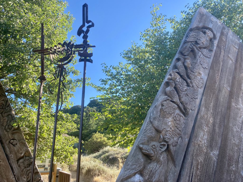
The paved road kept climbing toward the Ancient Bristlecone Forest Visitor Center. I pulled into the parking lot and was pleasantly surprised to see about 15 or so other cars here as well. I grabbed my slack pack and headed to the gorgeous visitor center building. Inside I looked over the various exhibits and then spoke with the volunteer about my planned hike. One of the other reasons for this hike was to make sure my foot would be able to handle the planned hiking I had ahead of me. Plantar fasciitis had flared up in my right foot recently, and while I have been treating it aggressively, it would still have bouts of pain. Plus all that driving did not help matters.

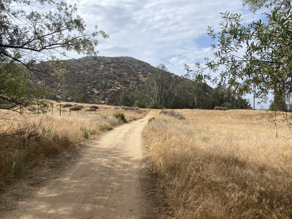
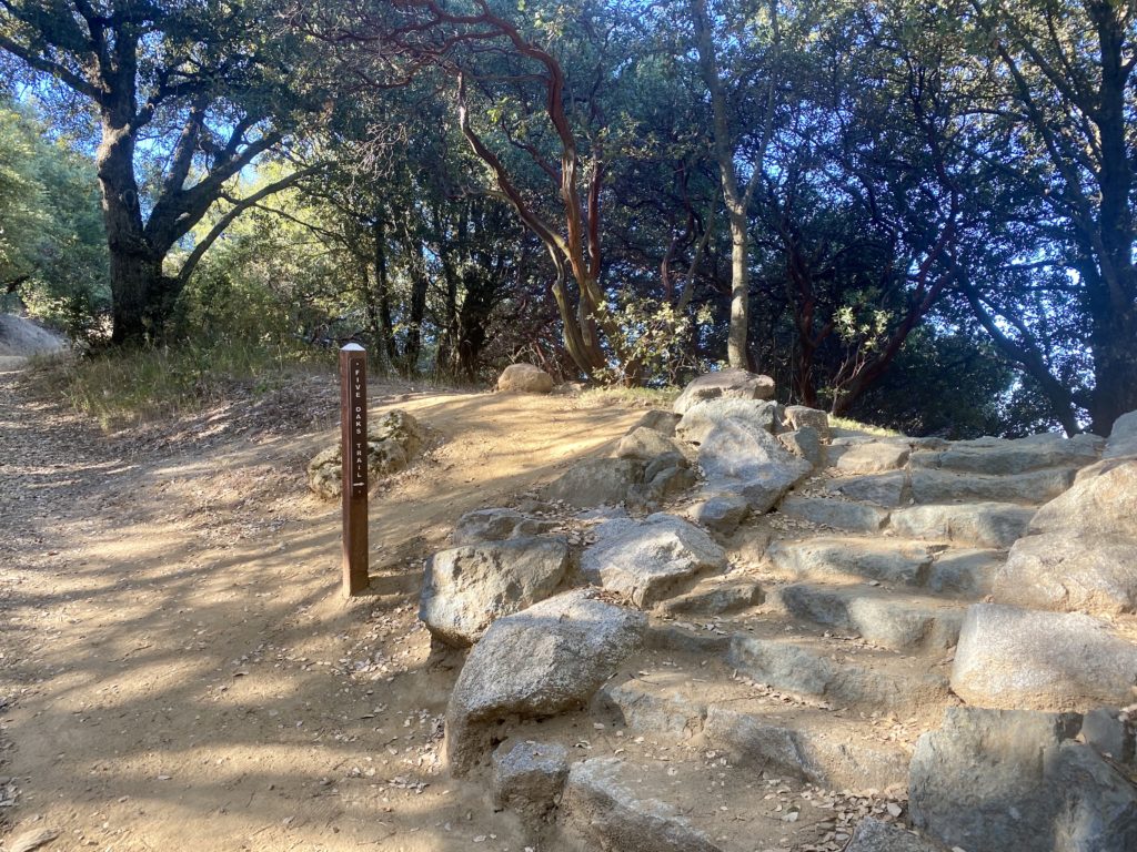
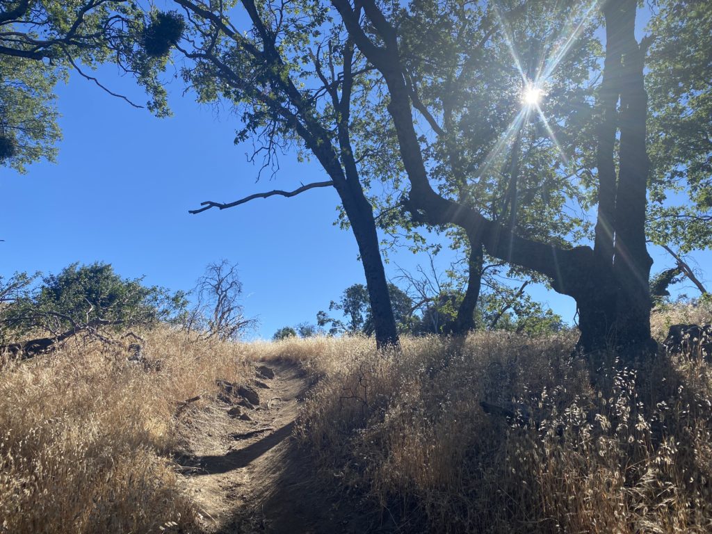
There are three trail options; the short 1-mile Discovery Trail, the 3-mile Cabin Trail, or the 6-mile Methuselah Trail. I picked the Cabin Trail as it was about the same length as the planned hike for tomorrow. If my foot had issues with that length, better to know now. The trail climbed a short hill before leveling out as it neared the Cabins and Mexican Mine site. This is what the information sign said about the site:

THE MEXICAN MINE – 1863

THE FIRST NON-NATIVE EXPLORERS in the White Mountains were miners looking for gold and silver. You are at the site of the old Reed Mine, first established in 1863 – one of the earliest mines in the White Mountains. It was named after Reed Flat, the open sage-filled “meadow” just across the road west of here. The mine looked promising and plans were made to bring in a large crew to begin full scale production. Lead and zinc ore were extracted in small quantities but nothing resembling the “intense development” that was planned. Imagine the frigid weather, supply problems and other hardships that plagued the miners – all this at 10,000 feet!

The mine changed hands several times and was finally sold to the Mexican Mining Company of Carson City, Nevada and renamed the Mexican Mine. Abandoned in the early 1950’s, it reverted back to public ownership. The buildings and shafts have not been stabilized and are not safe for entry.

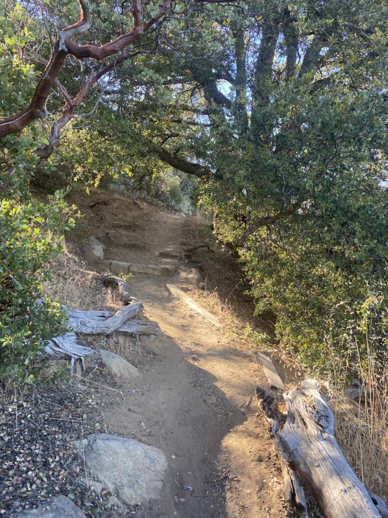
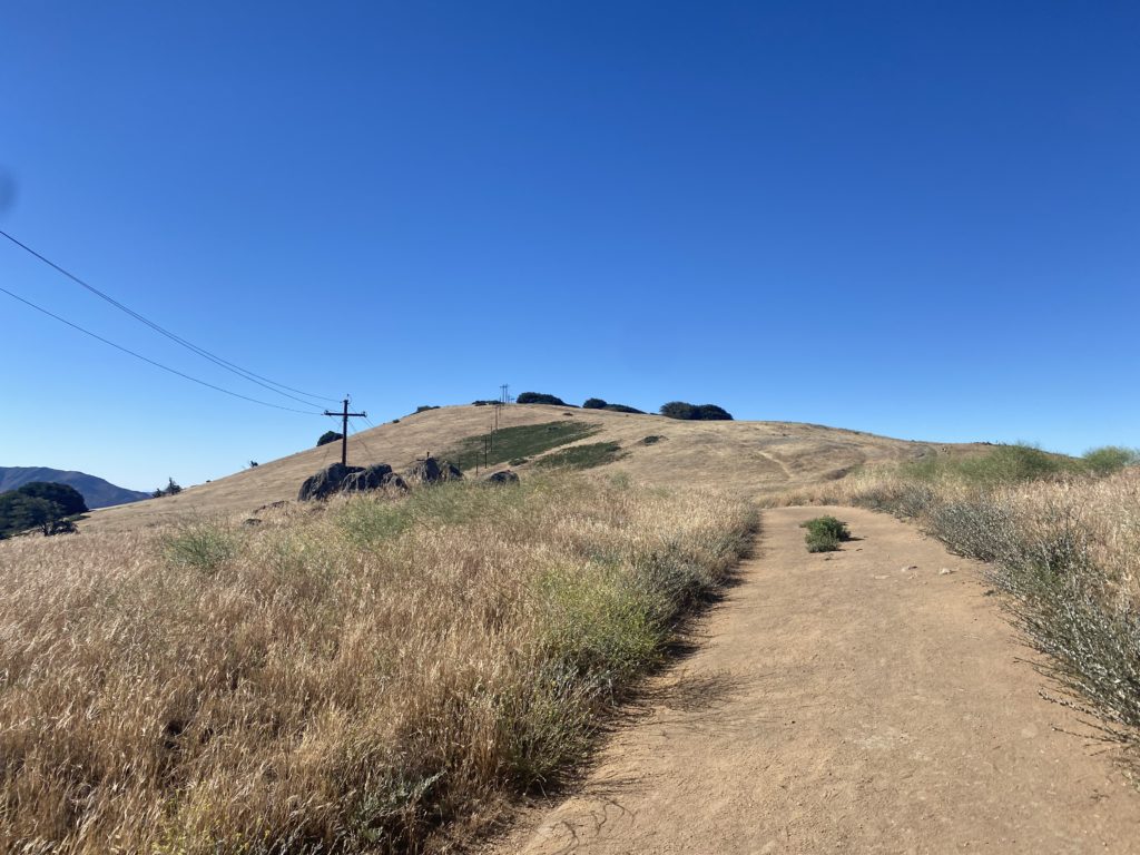
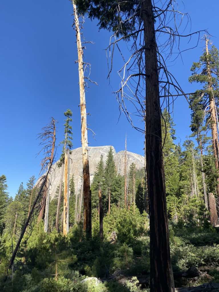
Continuing on past the ruins, the trail began climbing again. While not steep, we were at 10,200 feet. That was another bonus for me, to spend some time at altitude doing some acclimatization before heading off with a full backpack. 

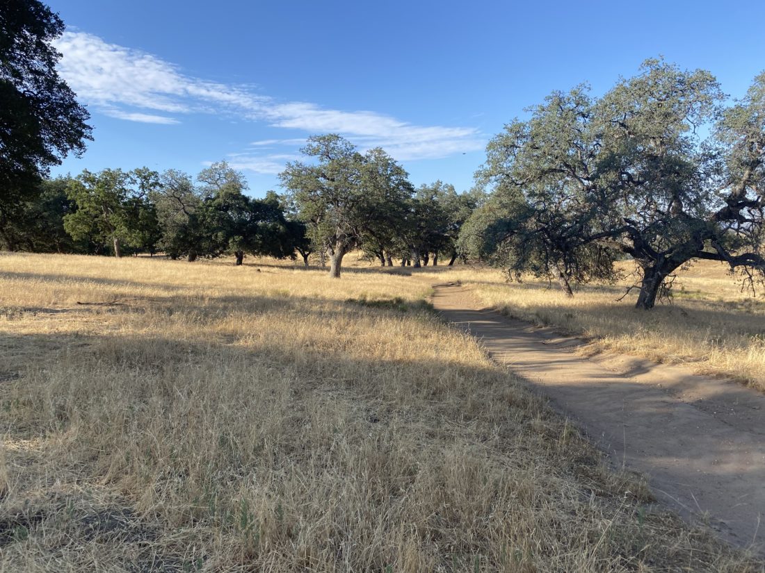
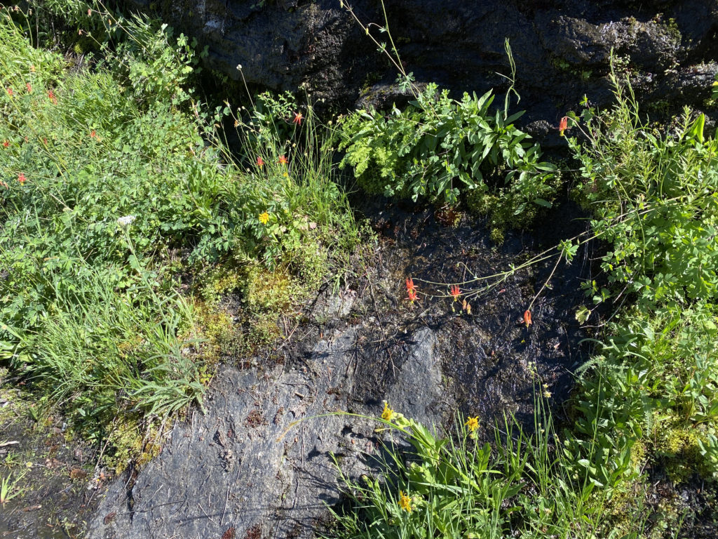
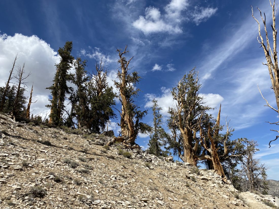
I passed a nice bench that I am sure has seen many winded hikers. After passing the remains of the upper mine, I continued up toward the saddle between the Schulman Grove Overlook and Mexican Mine Peak. Bristlecone trees dotted the landscape, each one a unique shape. 

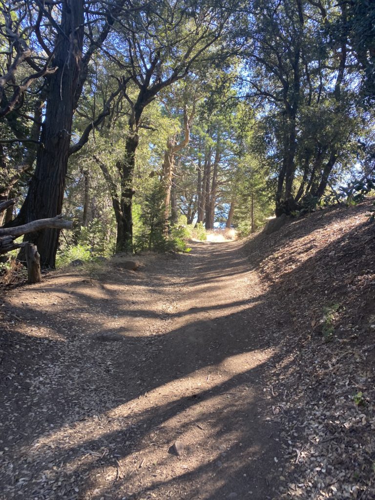
The trail now descended until it connected with the Methuselah Trail. I had yet to see another hiker, and the peacefulness amongst these ancient trees was welcomed. Once I was on the Methuselah Trail, I did pass a few others who were making the longer journey to try to see the oldest known living thing. I wanted to make sure I could do my actual planned hike, so I resisted temptation and continued on back to the visitor center.

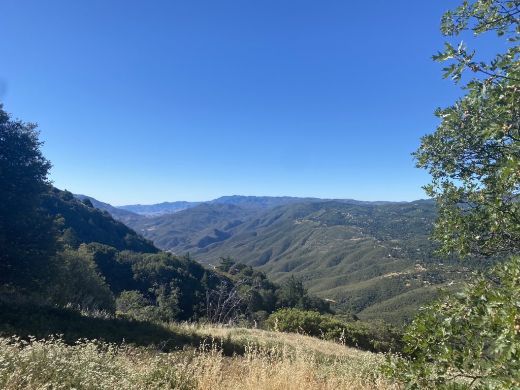
More incredible bristlecones lined the trail, and views of Nevada and Death Valley to the east, as I continued on. Soon, I was back at the visitor center. My foot was feeling the hike and the drive, so I decided not to attempt the Discovery Trail. I did, however, inquire if they had a special Junior Ranger badge. I had picked up the booklet for the Inyo National Forest from the Eastern Sierra Visitor Center in Lone Pine, which is worth the stop as well. It turns out they do, so I took the booklet, did the activities, and earned another one for my collection.

It was still early, so I decided to drive up and see the Patriarch Grove, home to the largest of Bristlecones. This would let me see more of the road to the start of the hike up White Mountain, which is on my bucket list. Just after Schulman Grove, the pavement ended and became a well-graded dirt one. But for the most part, it was in fine shape. After about 30 minutes and some gorgeous views, I came to the turnoff to the grove. The quality of the road became rockier and I took extra care as I drove the one mile to the parking area. I had some cans of tire sealant just in case. The parking area was empty. I followed the path toward the Patriarch Tree and stood before its immense size. A marker told a bit about the discovery of this tree. I continued on the trail for a bit, being mindful of my foot. Once I had seen enough, I returned to the car. While the Cottonwood Basin Overlook Trail was only ½ mile, I did not want to risk bothering my foot further. The call of Little Lakes Valley was too strong. 

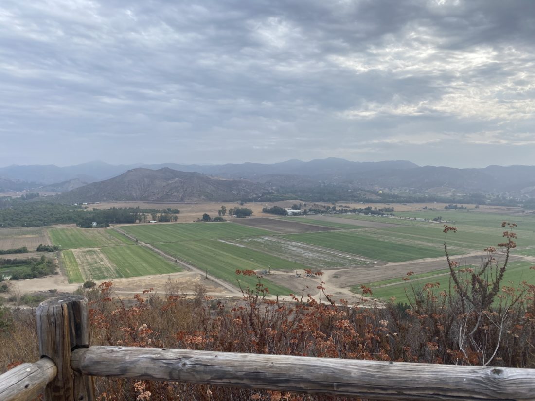
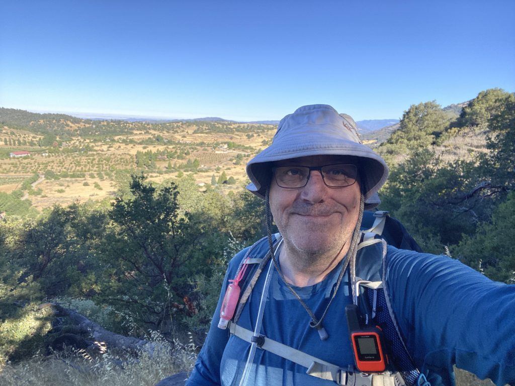
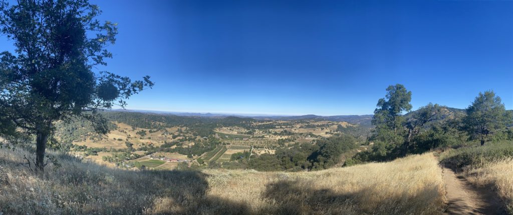
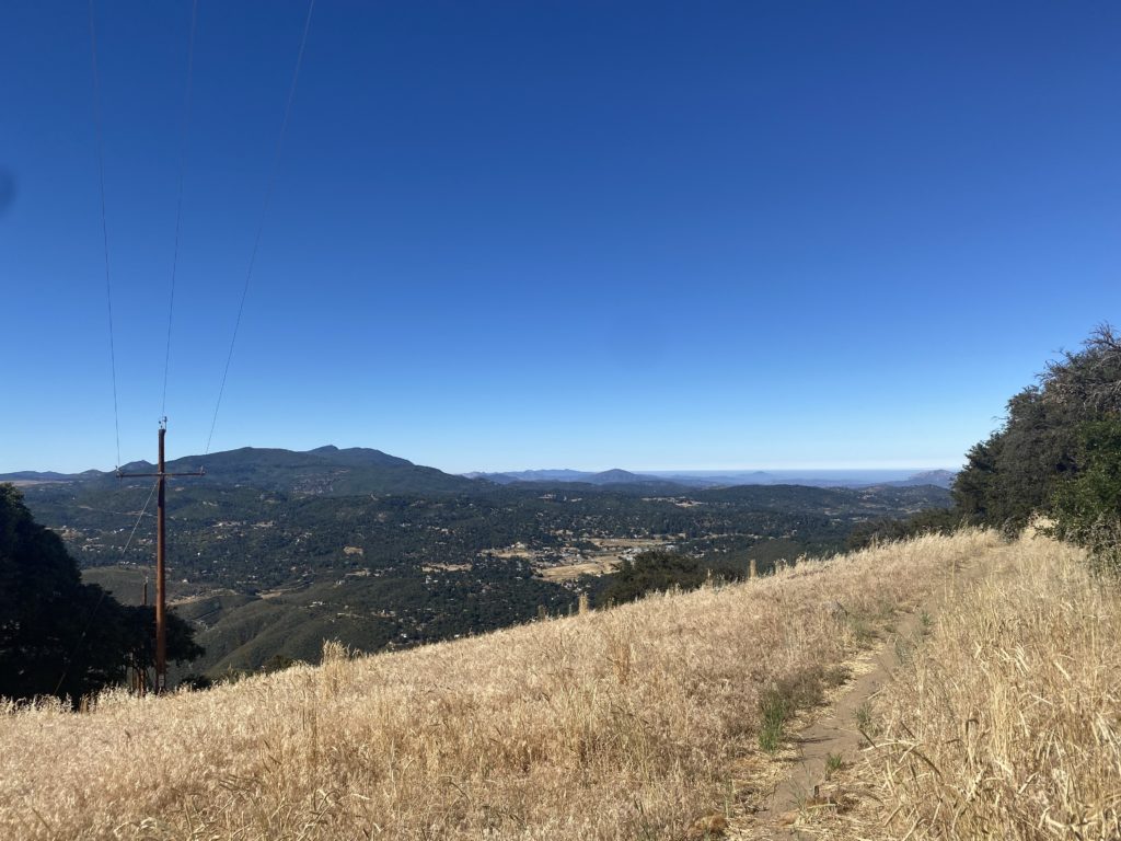
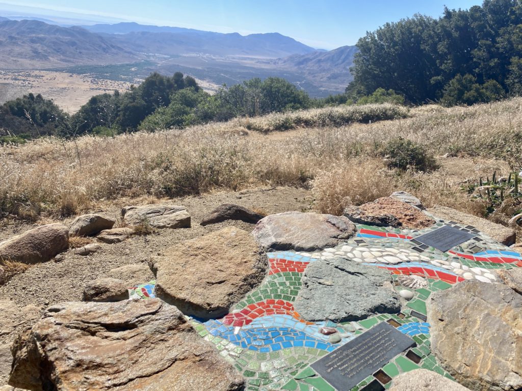
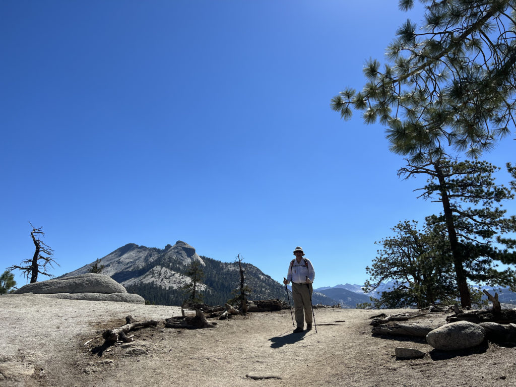
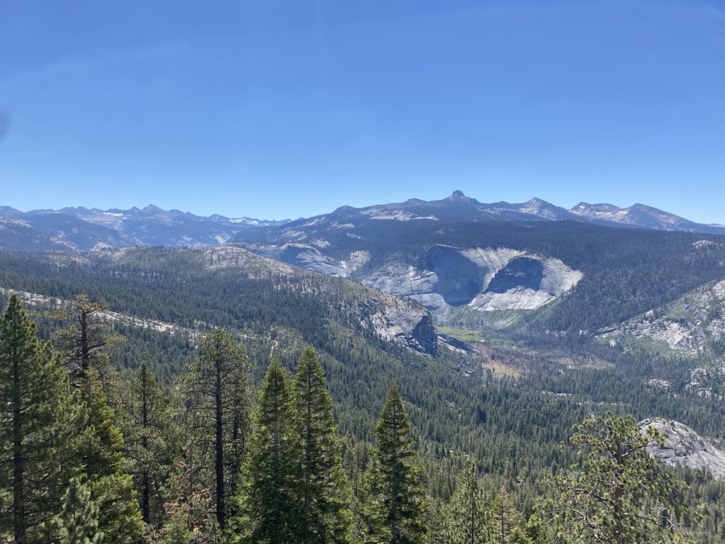
I drove back down toward Grandview Campground, but before I got there, I stopped at the Sierra View Overlook. This was a short walk to a small bump that offered a great view of the Eastern Sierras, and as a bonus is listed on Peakbagger. 

I pulled into the campground and surveyed the possible open sites. The first couple did not work as the parking area was not flat, but I did locate one that fit the bill perfectly. I inflated the system, broke out my folding chair, and enjoyed the mountain air. After dinner, I tried to enjoy a campfire, but the wood I bought in Big Pine was just too wet to stay lit. I finally gave up and hit the pillow. I recently bought window shades for the rear windows and was glad I did, and it helped keep the full moon’s light out of my eyes.

I woke just before sunrise, had some coffee, and repacked what I needed to. The plan was to grab breakfast at the Rock Creek Lake Resort and then hit the trail by mid-morning. Once I made it back to Big Pine, I took advantage of having a cell signal again and took care of a few things before I continued on toward Little Lakes Valley. 


Buy Me a Coffee at ko-fi.com

I am an avid peak bagger, sometimes backpacker, and former sea kayaker living in San Diego. I am the co-author of Urban Trails:San Diego, coming in Spring 2026!

In 2019, I became the third person to complete the San Diego 100 Peak Challenge. Not stopping with that accomplishment, I set my sights on the harder San Diego Sierra Club 100 Peak list, which I completed in 2021. In addition, I have conquered several Six-Pack of Peaks challenges (SoCal, San Diego, Central Coast, and both the Arizona-Winter and Arizona-Summer). I am looking forward to exploring new summits and new adventures across the southwest. 

Annie’s Canyon (via San Elijo Lagoon)

Was looking for another easy hike to test my foot’s recovery and remembered I had not hiked the new connector bridge under the I-5. Since the main lot was full, we parked across the street at the water district. We strolled along the wide path toward the freeway. Partway, a trail left the main path and took us closer to the lagoon for a while. Once back on the main path, we were almost at the bridge. Slung under the I-5, this nice wide bridge spans the lagoon and offers some nice views. We followed the trail to the right to continue on toward Annie’s Canyon. To our south we could see the trail continuing up and over the hill toward Solana Beach. Thankfully our destination was before that climb. A side trail took us off the paved section and toward the junction with the Annie’s Canyon trail.

Being a Sunday I knew this hike would be crowded. Anita, Ben and Rocky decided to relax on some logs under the shade of some eucalyptus  trees, while I opted to go explore the canyon.

I worked my way up through the narrow sandstone canyon until I reached a queue waiting to make their way through the narrowest of sections where the ladder is. After it was my turn, I enjoyed the view from the viewpoint before taking the switchbacks back to that lagoon’s edge. If you don’t feel like tackling the canyon or ladders, you can take this section of trail to enjoy the view. Just note, you cannot descend the ladder or exit through the canyon. Once back together we retraced our route then headed off to Seaside Market for some lunch.


Buy Me a Coffee at ko-fi.com

I am an avid peak bagger, sometimes backpacker, and former sea kayaker living in San Diego. I am the co-author of Urban Trails:San Diego, coming in Spring 2026!

In 2019, I became the third person to complete the San Diego 100 Peak Challenge. Not stopping with that accomplishment, I set my sights on the harder San Diego Sierra Club 100 Peak list, which I completed in 2021. In addition, I have conquered several Six-Pack of Peaks challenges (SoCal, San Diego, Central Coast, and both the Arizona-Winter and Arizona-Summer). I am looking forward to exploring new summits and new adventures across the southwest. 

North McCoy Trail

Since I am still recovering from a bout of plantar fasciitis, we opted to try a nice short stroll along the McCoy Trail in the Tijuana Estuary. A few cars were parked in the parking lot when we arrived. We strolled over to the visitor center, but the ranger had stepped away for a few minutes, so we decided to just head out along the trail. The trail runs southward until it reaches one of the main channels of the estuary. A couple of benches line the trail, perfect for those who want to take a moment and enjoy the wildlife.

We returned to the visitor center, which was now open, and explored their exhibits for a bit. Then we again continued our tradition of heading into Imperial Beach for some fish tacos at Coronado Brewery.


Buy Me a Coffee at ko-fi.com

I am an avid peak bagger, sometimes backpacker, and former sea kayaker living in San Diego. I am the co-author of Urban Trails:San Diego, coming in Spring 2026!

In 2019, I became the third person to complete the San Diego 100 Peak Challenge. Not stopping with that accomplishment, I set my sights on the harder San Diego Sierra Club 100 Peak list, which I completed in 2021. In addition, I have conquered several Six-Pack of Peaks challenges (SoCal, San Diego, Central Coast, and both the Arizona-Winter and Arizona-Summer). I am looking forward to exploring new summits and new adventures across the southwest. 

Raptor Ridge Trail

Decided to hike out to Raptor Ridge with my wife and dog. The parking lot had about 6 cars in it when we arrived. Rocky hopped out of the car ready to go!

We cruised along together making our way to the end of the flat section of the hike. Several groups of mountain bikers passed us. I usually have hiked this trail during the week and rarely see anyone, so it was nice to see it being used.

Anita and Rocky took a well-earned break while I began the climb up to the viewpoint. I had noticed some tenderness in my right foot after last week’s hike, and I was starting to feel it again. Once at the viewpoint, I snapped a few photos and let Anita know I was making my way back. As I descended, I could feel the pain increase. Ugh.

I made my way back along the trail, knowing that I was now looking at an extended break to let my plantar fasciitis recover. The question will be for how long?  I caught up with Anita and Rocky as they were taking a break at the table near the junction with the Mule Hill Trail. Despite my foot, we all had a nice time on the trails. My final hike on this year’s Coast to Crest Challenge is going to have to wait, along with my various other hiking adventures. 


Buy Me a Coffee at ko-fi.com

I am an avid peak bagger, sometimes backpacker, and former sea kayaker living in San Diego. I am the co-author of Urban Trails:San Diego, coming in Spring 2026!

In 2019, I became the third person to complete the San Diego 100 Peak Challenge. Not stopping with that accomplishment, I set my sights on the harder San Diego Sierra Club 100 Peak list, which I completed in 2021. In addition, I have conquered several Six-Pack of Peaks challenges (SoCal, San Diego, Central Coast, and both the Arizona-Winter and Arizona-Summer). I am looking forward to exploring new summits and new adventures across the southwest. 

Palomar High Point

After hiking the Santa Ysabel East Loop, Ted and I continued our adventure by driving up toward Palomar High Point. Like before, we drove up the Palomar Divide Road toward the summit. This is a 13-mile dirt road that can get a bit rough from time to time. After about an hour of driving it, we came to where we usually park and then make the short hike to the summit, but the gate to the actual summit was open, so we continued on up. We parked under some shade, as the temperatures were already approaching 90°F! Some motorcyclists were enjoying their lunch nearby. We wander around a bit snapping a few photos.

Once we were done, we began the long bumpy drive back down. We were both getting hungry and sandwiches from Dudley’s were calling our names…

Santa Ysabel East Loop

With the Excessive Heat Warning in place, I knew that whatever hiking I did need to be early in the morning and not too strenuous. I still had some hikes left on this year’s Coast to Crest Challenge and the Santa Ysabel East Loop fit the requirements perfectly. Ted and I arrived just before 7:30, and there was one car parked at the trailhead. We gathered our gear and set off, the day was already warm as we made our way past the herd of cows munching away on the grasses.

After safely passing the cows, the trail began its climb up toward the top. We would gain over 500 feet is just about 1/2 of a mile. That certainly got our heart rates up, plus we could feel the warmth of the day.

We came to the junction of the loop and decided to take it counter-clockwise. After a brief flat section, we had a small climb to the next junction. Here a couple of picnic tables are tucked away under the nice of some oaks. I took my selfie for the challenge. Ted had never hiked here before, so I point out the trail leading off from here that would connect to the Kanka Flat section of the preserve. I have yet to hike this section, maybe this fall I will…

Everyone who hikes this trail is duly impressed with the signage that marks each junction. A lot of love and care went into making them. We continued on the loop, heading northward for a bit, before circling back. Some more views of the Santa Ysabel were spread before us.

We kept cruising along until we again reached the base of the ridge. The cows had moved on, probably looking for shade, as were we. The temperature had already hit the mid-80s in just the 1:35 we had been hiking. The entire loop is about 4.2 miles and does have a nice 900+ feet of gain.


Buy Me a Coffee at ko-fi.com

I am an avid peak bagger, sometimes backpacker, and former sea kayaker living in San Diego. I am the co-author of Urban Trails:San Diego, coming in Spring 2026!

In 2019, I became the third person to complete the San Diego 100 Peak Challenge. Not stopping with that accomplishment, I set my sights on the harder San Diego Sierra Club 100 Peak list, which I completed in 2021. In addition, I have conquered several Six-Pack of Peaks challenges (SoCal, San Diego, Central Coast, and both the Arizona-Winter and Arizona-Summer). I am looking forward to exploring new summits and new adventures across the southwest. 

Blue Sky to Lake Poway

Decided to knock out another on this year’s Coast to Crest Challenge by hiking the Blue Sky – Lake Poway Loop. There were a few spots left in the parking lot around 7:30. I grabbed my gear and headed down the Torretto Trail to connect with the Green Valley Truck Trail. Once I reached the junction with the Creekside Trail, I opted to take it this time. The last time I hiked this loop, I stayed on the GVTT. The Creekside Trail was more trail-like, as it paralleled the GVTT. If there was some flow in the creek, this little section of trail would be fantastic, but the biggest concern is the large amount of poison oak along the sides of the trail.

Once the trail reconnected with the GVTT, I continued eastward until I reached the Lake Poway Trail. Now I would start climbing up toward the lake. This time I opted to circle the lake in a clockwise manner to make sure I had a little shade as I made my way around Lake Poway.

Along the way I snapped my needed selfie for the challenge and continued on. As I neared the Lake Poway parking lot, a group of hikers asked if this was the way to the “Potato Chip”. I gave them direction and silently shook my head at their lack of preparation. A new art installation of some “big” chairs were another stop along the loop. The trail then snaked its way back down toward the GVTT. Once back on the GVVT, I cruised back to the parking lot, covering the 5.3 miles in 1:41. Three more hikes to complete the challenge!


Buy Me a Coffee at ko-fi.com

I am an avid peak bagger, sometimes backpacker, and former sea kayaker living in San Diego. I am the co-author of Urban Trails:San Diego, coming in Spring 2026!

In 2019, I became the third person to complete the San Diego 100 Peak Challenge. Not stopping with that accomplishment, I set my sights on the harder San Diego Sierra Club 100 Peak list, which I completed in 2021. In addition, I have conquered several Six-Pack of Peaks challenges (SoCal, San Diego, Central Coast, and both the Arizona-Winter and Arizona-Summer). I am looking forward to exploring new summits and new adventures across the southwest. 

Volcan Mountain (via 5 Oaks Trail)

This year’s Coast to Crest Challenge is a collection of their 5 favorite hikes from previous challenges; Volcan Benchmark, Santa Ysabel East, Blue Sky Preserve, Raptor Ridge and Bernardo Mountain. I figured I should start with the “Crest” of the trail, and that was Volcan Benchmark. This was going to be a solo hike as Ted was working and Susie had family obligations.

There were a few cars at the trailhead, less than I expected for the holiday weekend. I cruised up the main trail until it reached the Five Oaks Trail. This year’s challenge does not have fixed “selfie spots”, so I found a nice view and took one.

The rest of the hike to the summit was mostly uneventful until just near the summit. I was “chasing” down a pair of hikers ahead of me. When they stopped for a bit, and I caught up to them, they pointed to the small rattlesnake on the side of the trail. Since we were back on the main trail, there was plenty of room to walk past it.

At the summit, I snapped a few photos before heading back down. As I looped around the east side of the summit, I spotted a bench I did not recall being there the last time. I took a quick look but wanted to keep on moving.

The descent went quickly, and I let hikers heading up know I had seen a snake today. Soon I found myself on the gravel road heading to the trailhead. My final stats were 5.2 miles in 2 hours flat, just one minute off from last time. I had thought about getting another one of the Coast To Crest Hikes done, but it was warming up, and I did not want to push it.


Buy Me a Coffee at ko-fi.com

I am an avid peak bagger, sometimes backpacker, and former sea kayaker living in San Diego. I am the co-author of Urban Trails:San Diego, coming in Spring 2026!

In 2019, I became the third person to complete the San Diego 100 Peak Challenge. Not stopping with that accomplishment, I set my sights on the harder San Diego Sierra Club 100 Peak list, which I completed in 2021. In addition, I have conquered several Six-Pack of Peaks challenges (SoCal, San Diego, Central Coast, and both the Arizona-Winter and Arizona-Summer). I am looking forward to exploring new summits and new adventures across the southwest. 

Half Dome

One of my bucket list hikes has been to stand atop Half Dome in Yosemite. I got close in 2018, but having turned my ankle in the dark on the way up, I knew it would not be safe for me to continue past the Sub Dome. Ever since then I have been applying for a permit to attempt the hike again. This year I finally won the lottery and got my permit! Unfortunately, Ted would not be able to join me again as he and his family were at West Point to drop off their son. Susie, however, was free and happily agreed to join me.

My permit was for Monday, so we drove up to El Portal on Sunday. We left a bit on the early side, mostly to avoid LA traffic. After checking into the motel, we drove on toward the valley. Susie had just purchased new shoes and wanted to get a couple of miles in before the big day. Yosemite is now on a timed entry system, meaning you have to have a reservation between 6:00 am and 4:00 pm to enter the park. As we neared the entrance, we were 7 minutes early. I was hoping the ranger would let us enter, given I did have a permit for tomorrow, but they still made us turn back around. So, we drove back a bit until it was safe to make another U-turn. This time we arrived after 4:00, so I just showed my Annual Pass and drove on in.  It was just over 90° F on the valley floor, so we were not looking for anything too adventurous. We found a parking spot with almost no trouble. As we crossed over the valley toward Yosemite Falls, Half Dome stood majestically to our east. Its timeless shape stood lit in the afternoon sun. After taking a nice loop to see lower Yosemite Falls, we returned to the car. Susie said the shoes felt good and gave them the green light for tomorrow’s adventure. 

After making a stop at the store to see if there were any souvenirs we wanted, we drove up to Tunnel View to take in that classic vista of the valley. For dinner, we decided to try the new Basecamp restaurant. Unfortunately, both our sandwiches were barely edible. In fact, Susie just ate the fries and the biscuit that served as a bun for her chicken sandwich. 

Once back at the motel, we reviewed our strategy for the hike and set an alarm for 4 am. This time I wanted to start in daylight to hopefully avoid any missteps like last time. Another difference from the last attempt was we planned to filter water several times during the hike, which would keep our pack weight down. Given the predicted warm temperature, this probably meant having to carry around 5 liters. The day before, we had stopped in Oakhurst and grabbed some muffins, bananas, and orange juice for our breakfast. I certainly am not going to find my usual pre-hike breakfast of a sausage biscuit and hash browns. The parking lot was about 60% full when we pulled in. As we gathered our gear, I drank down a liter of water to start off nice and hydrated. Once we were ready to go, we set off down the path toward Happy Isles and the start of the Mist Trail/John Muir Trail (JMT). After hiking about 3/10 of a mile, we came to the Happy Isles bus stop and made a quick bio-break here. As we crossed over the stone bridge that spans the Merced River, the hike would now “formally” begin.

​​Section 1: Mist Trail

The first part of the Mist Trail is a paved, asphalt trail to the Vernal Fall footbridge. While this section is only about a mile long, you do gain about 500 feet, so we made sure to pace ourselves. While I was not thirsty, I had to take a sip at the water fountain, just because. For the rest of the hike, if you need water, you will have to filter it from the Merced or have it already. This is also the last chance for some flush toilets.

Now, the trail began climbing steeply toward Vernal Fall. After a short bit, the trail splits, with the JMT veering to the right and the Mist Trail to the left. The trail now turns into granite rocks and steps that would lead us up. While we had a glimpse of Vernal Fall from the footbridge, it was not until the trail made a slight turn did we get to see it fully. It is also here that you learn why this trail is called the Mist Trail. If there is a breeze, the mist from the waterfall is usually blown onto the trail. Thankfully, we only got a light mist during this section. During the winter, this section of the trail is closed due to it icing over and becoming unsafe. About 3/4 of the way to the top of Vernal Falls, the trail hugs a cliff wall, but thankfully, the metal railing provides some safety for this section.

The trail then pops out at the top of Vernal Fall on a nice wide plateau. I wandered over to the overlook for a bit before continuing on. The trail takes a mini-break from the elevation gain as it passes the Emerald Pool. Once we crossed the Silver Apron bridge, our climb would begin in earnest again toward the top of Nevada Fall. Steep stone switchbacks carried us up, as the river cascaded to our right. At the top of the waterfall, we came to the end of the Mist Trail and our first planned break. While most hikers hang out right at the junction with the JMT, near the bathroom, we hiked toward the falls to a spot that would give us access to the river. We sat on the smooth rocky banks and enjoyed a well-earned snack as we filtered water for the next section of the hike. I opted to have a liter of electrolytes, as well as about 2.5 liters in my water bladder. Our plan was to filter again once we returned from the summit. After about 20 minutes, we were ready for the next portion of the hike.

Section 2: Little Yosemite Valley

Now with our heavier packs, the flat but sandy section of the hike was welcomed. In just over 3 miles, we had already gained about 2,700 feet! Our first glimpses of the backside of Half Dome were coming into view as we cruised along. The trail splits after a bit, and if we continued straight we would enter the backpacking camp. There is a ranger station located at the camp, along with some pit toilets if you need one. Instead, we took the trail veering off to the left. Soon, this respite from the climbing would come to an end, as the trail makes a turn northward.

Section 3: The Climb

From Little Yosemite Valley, we were going to climb about 1,800 feet over the next 2.5 miles or so until we reached the Sub Dome. As we continued north along the JMT through some lovely forest, I felt myself beginning to feel a bit drained. I took a few short breathers that helped a bit. After 1.4 miles, we reached the junction with the Half Dome Trail. I found a nice spot for a break and then realized that I needed some real protein. I snacked on some jerky and soon began to feel better. Susie cruised on ahead and I once again found my groove. The trail finally turned west, and I knew that we would soon be at the Sub Dome.

Section 4: Sub Dome

It was here that I made the decision to turn back in 2018, so from here on out the hike would be filled with unknowns for me. I showed my permit and ID to the ranger who was stationed at the base of the Sub Dome. She gave us a quick safety briefing and we were good to go, but first, I had another snack and a brief rest. The steep stone steps would rise almost 600 feet in just 3/10 mile. I paused a few times as I made my way up, in part to save some energy for the cables, but also to take in the view. Once I crested the Sub Dome, the infamous cable section stood before me. The most challenging part of the hike was about to begin.

Section 5: The Cables and Summit

I have seen photos of the cables hundreds of times, but now they stood before me. We found a nice spot to take another quick break before continuing on. Both Susie and I brought a simple harness that would allow us to clip into the cables as we made our way up. Ted and I had these with us the last time. We stashed our trekking poles by some rocks and set off. Just a mere 400 feet of elevation gain in 1/10 mile up slick granite. Piece of cake, right? 

Across most of the poles that hold the cables up, is a wooden plank, but there are some sections where they are no longer there, and since Half Dome is protected, they will not be replaced. The cables start off mild, but quickly you find yourself pulling up using your arms from pole to pole. It is essentially a 45-degree angle in the beginning, which seems like a 60-degree angle in the middle, and then another 45-degree angle at the end. My gloves gave me a solid grip on the cable and I started to make my ascent. One of the other challenges with this section are the other climbers. We quickly found ourselves stuck behind one who was moving very slowly and we were in one of the more exposed sections of the cables. At that point, I decided that I needed to descend, so we turned back.

We sat once again at the base of the cables and stared up. Susie gave me a bit of pep talk, and we waited for the number of climbers on the cables to ease. The harness had been bothersome to use during our aborted attempt, so we both decided to forgo it this time. Once the crowd thinned, we again began making our way up. I focused on getting from one pole to another.  As I made my way up, if I needed to pause to allow a hiker to descend, I would clip in for a measure of safety. Overall, I knew that soon I would be standing atop the summit. 

As I stepped away from the cables, I felt a sense of accomplishment come over me. I walked over to a nice spot, slipped off my pack, and drank in the view. It was a touch warm, so I knew that we weren’t going to stay a long time on the summit. Plus, we did have the descent down the cables, which many say is harder, and the long hike back to the valley floor. I stood in the queue to have my photo taken on the “Visor”. Susie had already had her photos done while I was recovering from the effort. She hopped back into the queue and I took a new set for her. I also made sure to take a photo looking down from it, as I knew Ted had not ventured out and he might want to see what he missed.

While I wanted to have lunch up here, the heat was doing a number on our appetites, so we decided to head back down. Susie took the lead this time, as we carefully navigated the slick rock beneath our feet. I could feel my feet slip slightly from time to time, but I knew I had a good grip on the cable and focused on keeping myself in a safe place. We would pause and work out how to pass climbers heading up. I offered up words of encouragement to them, just as they had been given to me. Once past the section of the cables without planks, I knew that I had conquered Half Dome!

Section 6: The Descent

We stored our harnesses, retrieved our trekking poles, and started back down the granite stairs of the Sub Dome. My knee felt good, but I still took my time. We paused at the base of the Sub Dome for a bit and I had the last of the orange I had brought. I was also mindful of how much fluid I still had with me. There was still about 3.5 miles until we could filter water from the Merced. Thankfully, it was pretty much all downhill, so that would help.

After about 2.5 miles, I took a break and grabbed my small can of Coke, and drank it down. I knew the caffeine, sugar, and fluid would tide me over until we could refill our water. Finally, I reached Little Yosemite Valley and about ½ mile later, we sat next to the gently flowing Merced and began to filter our water. I had ¼ of a liter of water left when I arrived. We had some snacks while we refilled our bladders. I also filled my side bottle with more Gatorade as well. Once replenished, we set back down. Like most, we planned to descend using the JMT. This route is longer by an additional 1.5 miles, but without the knee-bashing steps along the Mist Trail. 

We could feel the heat as we traveled down. However, the views of Nevada Fall, Liberty Cap, and Half Dome did somewhat offset that. The next four miles were pretty much just more of the same. We both were ready to be done, and our feet were certainly in agreement. Finally, the trail rejoined the Mist Trail, and after a short break, we pushed on toward the end. Crossing back over the Vernal Fall footbridge, the end seemed so close, but that asphalt trail never seemed to end. Finally, the stone bridge came into view, and we just had the short, flat walk back to the car. Even at 6:30 pm, we could still feel the heat. I checked later and the high on the valley floor had been 100°F! We tossed our packs into the back of the Outback, changed shoes, and gave each other well-earned high-fives! 

The final stats for the hike were 17.02 miles in a total time of 13:12 hrs with an elevation gain of 5,485 feet. I did not stop my tracker during the entire hike. According to Susie’s tracker, our moving time was 9:53. We were a little slower than planned, but given the heat that we hiked under, we were quite pleased with our effort. 


Buy Me a Coffee at ko-fi.com

I am an avid peak bagger, sometimes backpacker, and former sea kayaker living in San Diego. I am the co-author of Urban Trails:San Diego, coming in Spring 2026!

In 2019, I became the third person to complete the San Diego 100 Peak Challenge. Not stopping with that accomplishment, I set my sights on the harder San Diego Sierra Club 100 Peak list, which I completed in 2021. In addition, I have conquered several Six-Pack of Peaks challenges (SoCal, San Diego, Central Coast, and both the Arizona-Winter and Arizona-Summer). I am looking forward to exploring new summits and new adventures across the southwest. 

Yosemite Falls

It was just over 90° F on the valley floor, so we were not looking for anything too adventurous. We found a parking spot with almost no trouble. As we crossed over the valley toward Yosemite Falls, Half Dome stood majestically to our east. Its timeless shape stood lit in the afternoon sun. After taking a nice loop to see lower Yosemite Falls, we returned to the car. Susie said the new shoes felt good and gave them the green light for tomorrow’s adventure. 


Buy Me a Coffee at ko-fi.com

I am an avid peak bagger, sometimes backpacker, and former sea kayaker living in San Diego. I am the co-author of Urban Trails:San Diego, coming in Spring 2026!

In 2019, I became the third person to complete the San Diego 100 Peak Challenge. Not stopping with that accomplishment, I set my sights on the harder San Diego Sierra Club 100 Peak list, which I completed in 2021. In addition, I have conquered several Six-Pack of Peaks challenges (SoCal, San Diego, Central Coast, and both the Arizona-Winter and Arizona-Summer). I am looking forward to exploring new summits and new adventures across the southwest.