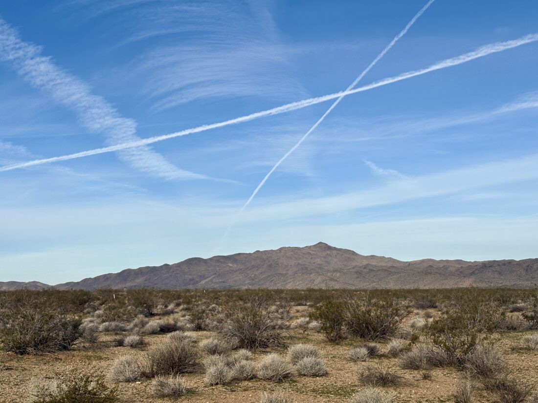
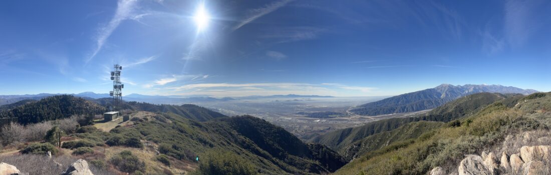
The plan was to hike out to Goat Benchmark with Rick & Andrea, and if I was feeling up to it, I might push on to The Sirens and San Ysidro East. With the access closure from Lease Road, the only real option for us to hike to Goat Benchmark was to start from Montezuma Valley Road. I had hiked portions of this route, as far north as White Benchmark, but not between that point and the route I had taken before on my trips into Hellhole Flats. I arrived a bit early and saw the sunrise was really putting on a show, so I continued past our meeting point and drove farther along Montezuma Valley Road to a couple of turnouts to capture it. What a sight!
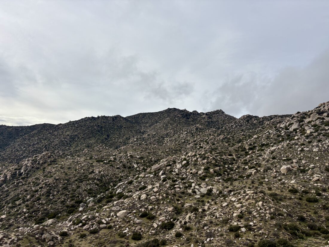
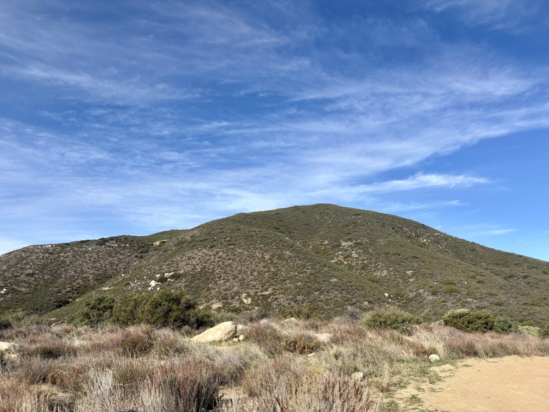
We were meeting at 7, so I turned around safely and met them at the fence line of Anza-Borrego State Park. The general plan was to head north, following the fence line (and the terrain), then link up with the gully descending toward Hellhole Flats. I was almost over a cold, so I wasn’t sure I had the energy to make the whole trek, but I carried enough to do so. At a minimum, I would have eyes on that new section that I would have to traverse at least once more with Ted to hike up to San Ysidro Peak. The recent rains made the ground a bit soft and damp. The brush was low, so our pants should remain dry. This new route adds about 1.5 miles to the junction of the routes and about 1,000 feet. We worked our way northward, following small use trails and trying to avoid unnecessary climbs. As we approached White, the route options became more complex, with more boulders and steep sections to contend with. We tried to follow the contour lines, but eventually opted to head up toward White Benchmark and a gap to its north. In hindsight, I think it would have been easier just to follow the slope south toward White, then cut across near the summit to that gap. That is what I did upon my return, and that is the better route.
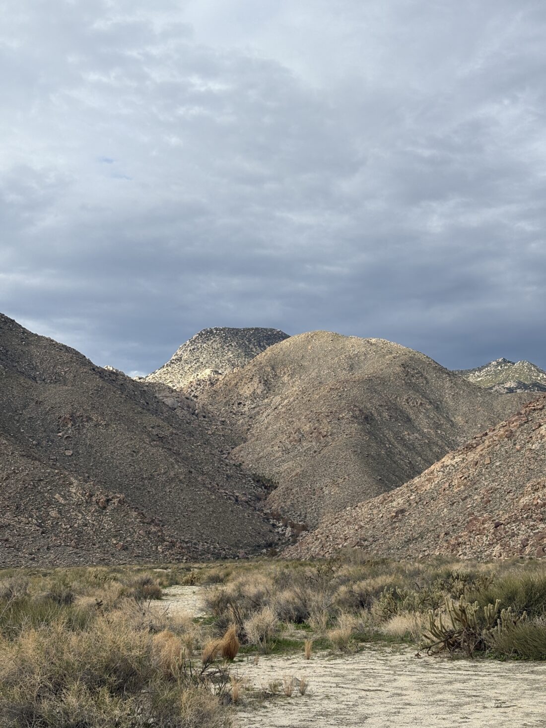
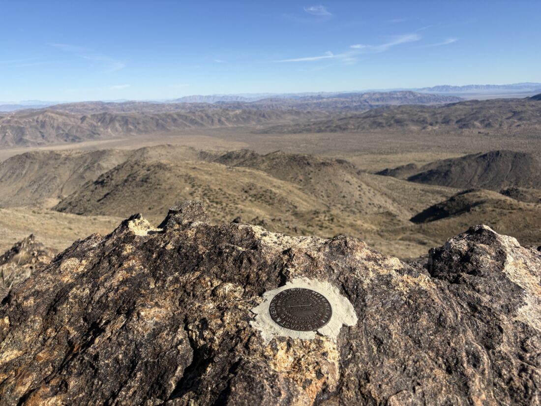
After passing White, we tried to stay on the east side to avoid the property line. A small bump sits just to the north of White, and we found ourselves unable to continue. We debated heading straight east and down a steep slope, then up toward Goat from there, but we opted to try the west side and hug the property line. After a couple of downs and ups across some minor gullies, we turned onto one that would eventually link with the gully that I have used in the past. Once in it, we cruised along. At one point, we had a bit of flowing water that appeared briefly, then faded back underground. I kept a mindful eye for the turn off to Goat. I spotted a familiar landmark, just a small bump, and knew we were getting close. One thing I remember about Goat is that it is not the pile of rocks you think it is, nor the next one… Once there, we took a short break, and I pulled out my wind shell, as it was chilly and breezy. We had been adding and removing layers throughout the hike. We signed the register and snapped a photo of the benchmark. Rick and Andrea were hoping to continue and make it to Webo. I kept debating about my options. I had broken down the various sections for my attempts, and it seemed too much, as we had lost some time on the way out. Plus, the weather was supposed to worsen in the afternoon. I made the call that I was going to retrace our route. I then suggested, since they would be at Webo, why not just take the ridge down rather than slog back the way we came? I could drive down to the parking area and shuttle them back. So, that became the new plan. I gave them a few navigational pointers, and we parted ways.
I found some nice use trails to return me to the main gully, then to the side gully to begin my journey south. I was able to follow our route in with no issues. As I approached White, my right knee began to ache. Not sure if it was cold, or overused, but I was not happy. I wondered if the soft terrain had put some stress on it… Since I was so close to White, I opted to climb it formally. As I mentioned earlier, our route out almost took us to its summit. I climbed the rocks to the top, and then took a quick break for a PB&J. Both Rick and I had cell coverage, and they were atop Webo hunting for the benchmark and the register. They found the benchmark, but the register could not be located. The same was true for me. I could see a pile of rocks on top where one might have been, but no more. I did not look that hard to see if it had been relocated. I then headed southward, not following any particular track, letting the terrain guide me. Since my knee was hurting, I skipped climbing some of the other benchmarks scattered along the way. It had gotten colder and windier, so I was wearing all my layers. Ignoring my knee, I suspected I made the right call to not stay out longer.
Back at the car, I changed and drove on down to Borrego Springs. I grabbed a cold soda from the market and played on my phone a bit while I waited. I got a check-in message from Rick, and eventually made my way over to the parking lot for Hellhole Canyon. I relaxed for a bit until I spotted two tired but happy hikers emerging from along the trail. They tossed their gear in the back, and we made the drive back up to Ranchita. As we drew near where we started from, rain was falling! Boy, did we all make the right choice. It would have sucked hiking back in that! I tracked my hike at 8.3 miles over 6:15 with 2,087 feet of gain.
I am an avid peak bagger, sometimes backpacker, and former sea kayaker living in San Diego. I am the co-author of Urban Trails: San Diego, available now!
In 2019, I became the third person to complete the San Diego 100 Peak Challenge. Not stopping with that accomplishment, I set my sights on the harder San Diego Sierra Club 100 Peak list, which I completed in 2021. In addition, I have conquered several Six-Pack of Peaks challenges (SoCal, San Diego, Central Coast, and both the Arizona-Winter and Arizona-Summer).
I am looking forward to exploring new summits and new adventures across the southwest.