A few weeks ago, Robert Luher reached out to see if I would be interested in hiking up Grunt Benchmark. While not on either the San Diego Sierra Club or 100 Peak Challenge lists, it is on the San Diego Peak Club list. It is part of a collection of benchmarks around Carrizo Gorge, which I have dubbed “The $%@! benchmarks” (Puff, Moan, Gasp, Groan, and Grunt). In a rare treat, Susie was able to join us. As the two of us made the drive out to meet Robert, we caught up on returning back to school, book-related discussions, and life in general. Robert was waiting at the turn-off onto Carrizo Gorge Road. He transferred into the Outback, and we set off down the road.


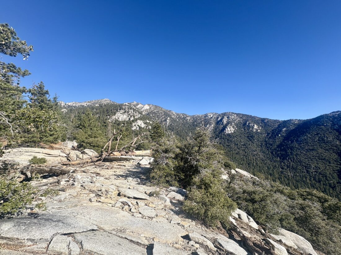
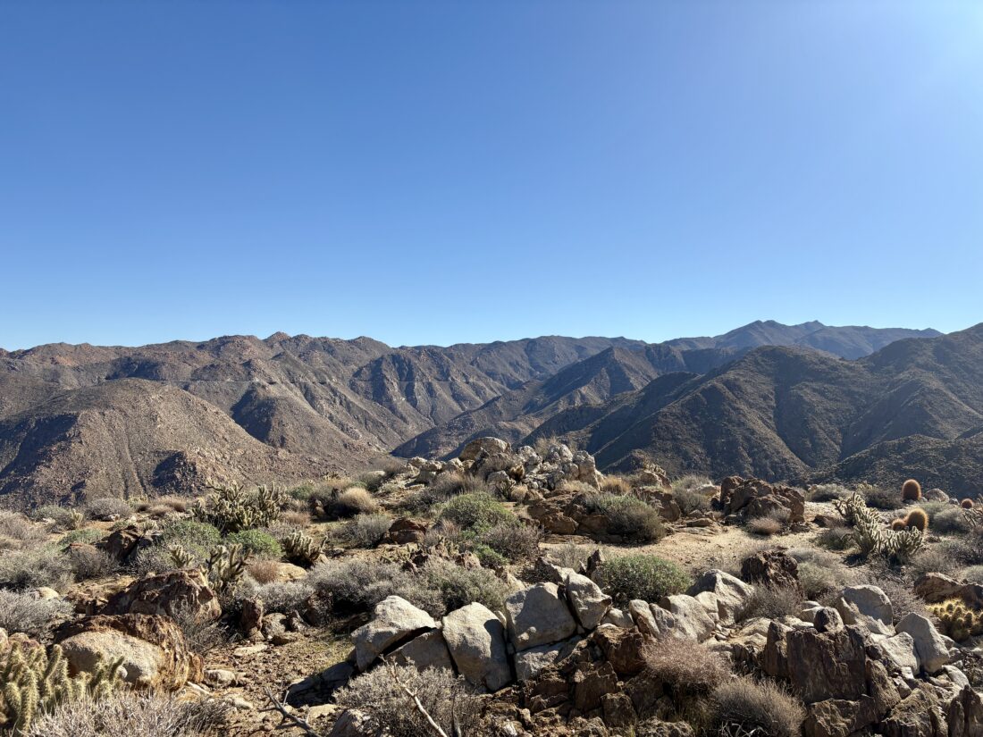
With some care, we reached the trailhead, and after gathering our gear, we set off. I initially started toward the wrong wash, but after checking our route, we quickly corrected. (I deleted that mistake from the GPX). Once in the correct wash, we made good time, as it was nice and wide and relatively free of brush. We spotted a cairn indicating the exit from the wash and the start of the climb to the summit. A few other cairns were located, but better still, a fairly well-defined use trail. We stayed on it, working our way ever upward. At some point, I missed a cairn and remained on the use trail. Realizing this, I opted just to head off-trail and work my way back toward the recorded tracks we had. I linked back up with Susie just below the summit, and Robert had snuck past us and called out from atop it.


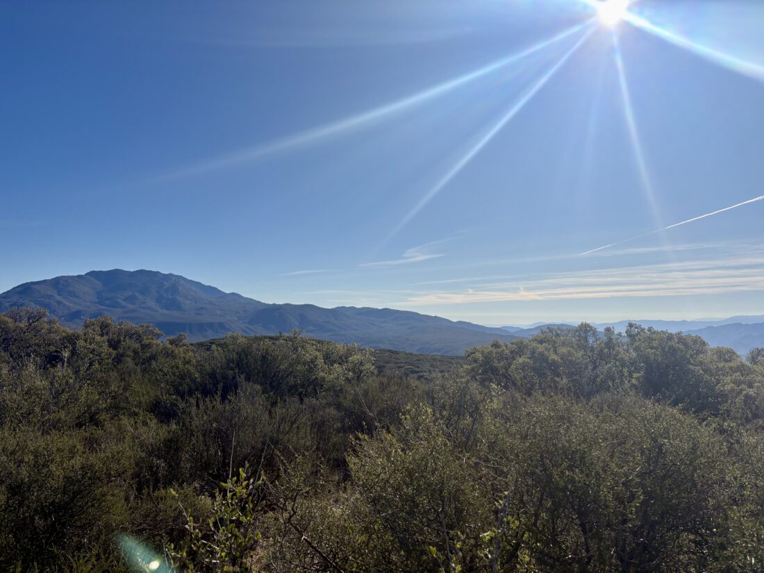
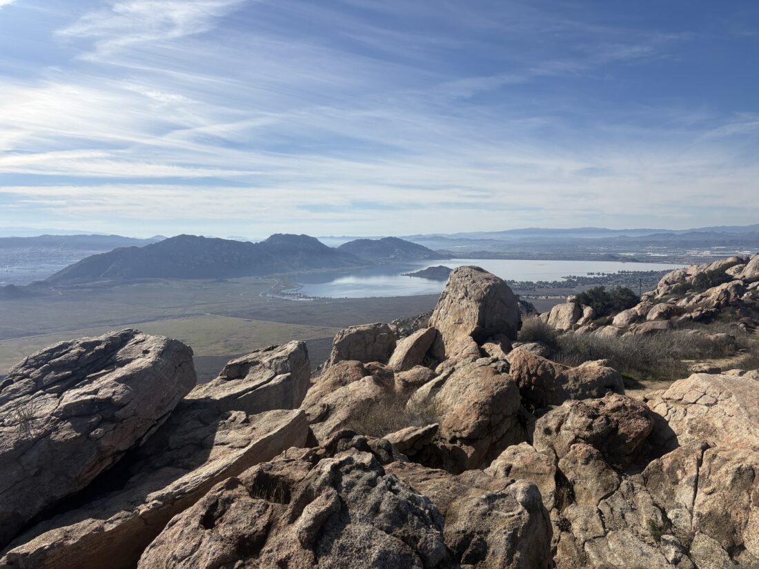
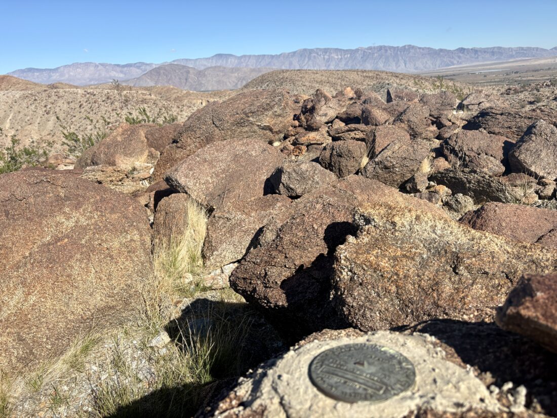
Once there, we searched around to locate the various marks and the register, which we found. We enjoyed our time at the summit, a few well-earned snacks, and more peak-bagging tales. What was interesting was that several other tracks chose a different route back down. Given how nice the wash was and the use trail as well, we could not fathom why not just retrace your ascent route? We all agreed this was probably one of the easiest desert peaks we had climbed (sans the slightly challenging drive to the trailhead). Once back at the car, we tossed in our gear and began the next challenge, driving back out. Thankfully, there were no issues as I navigated the soft, sandy sections and the rocky portions. We said our goodbyes to Robert, who was camping again in Blair Valley, and offered some easy options if he wanted to tackle something else in the afternoon. Susie and I then drove back home, chatting more about book-related topics. All told, the hike was 2.95 miles in 2:35 with 1,020 feet of gain.


I am an avid peak bagger, sometimes backpacker, and former sea kayaker living in San Diego. I am the co-author of Urban Trails: San Diego, available now!
In 2019, I became the third person to complete the San Diego 100 Peak Challenge. Not stopping with that accomplishment, I set my sights on the harder San Diego Sierra Club 100 Peak list, which I completed in 2021. In addition, I have conquered several Six-Pack of Peaks challenges (SoCal, San Diego, Central Coast, and both the Arizona-Winter and Arizona-Summer).
I am looking forward to exploring new summits and new adventures across the southwest.