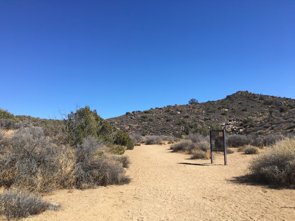
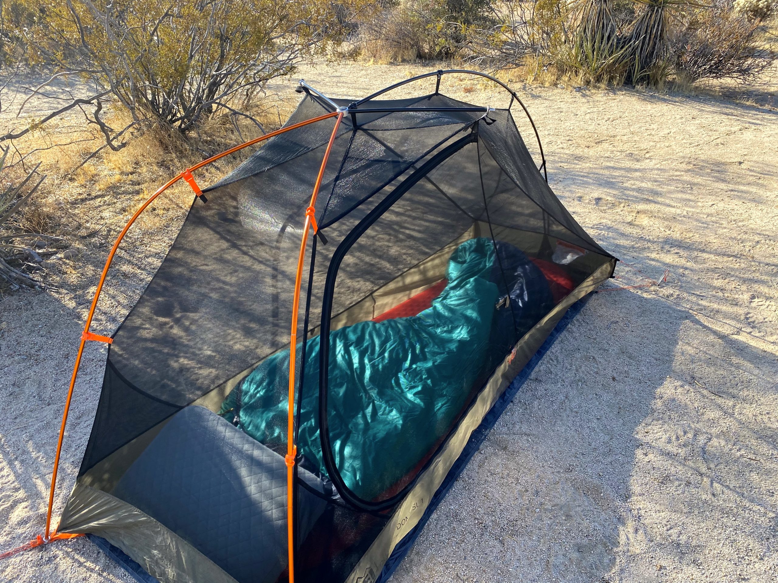
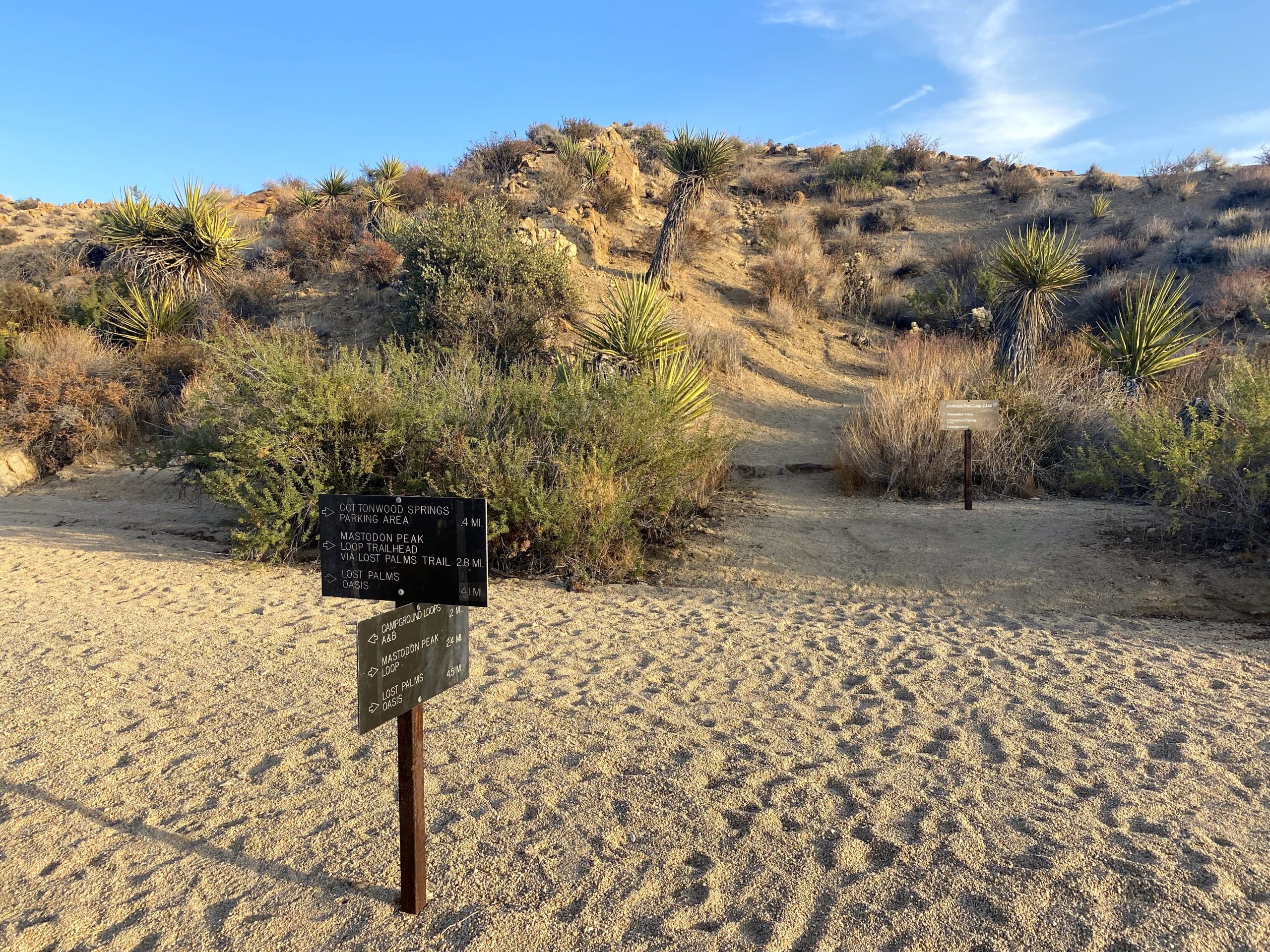
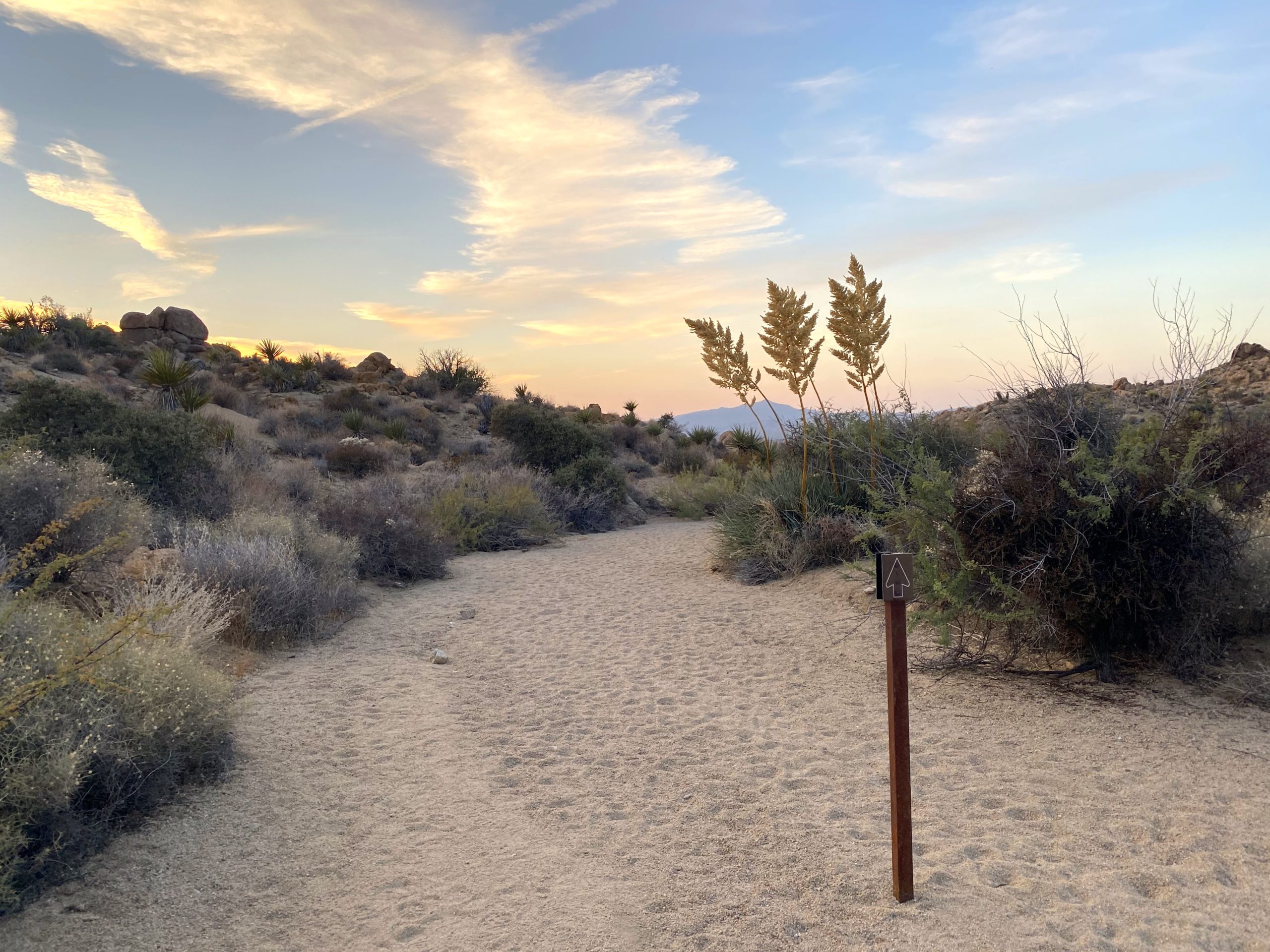
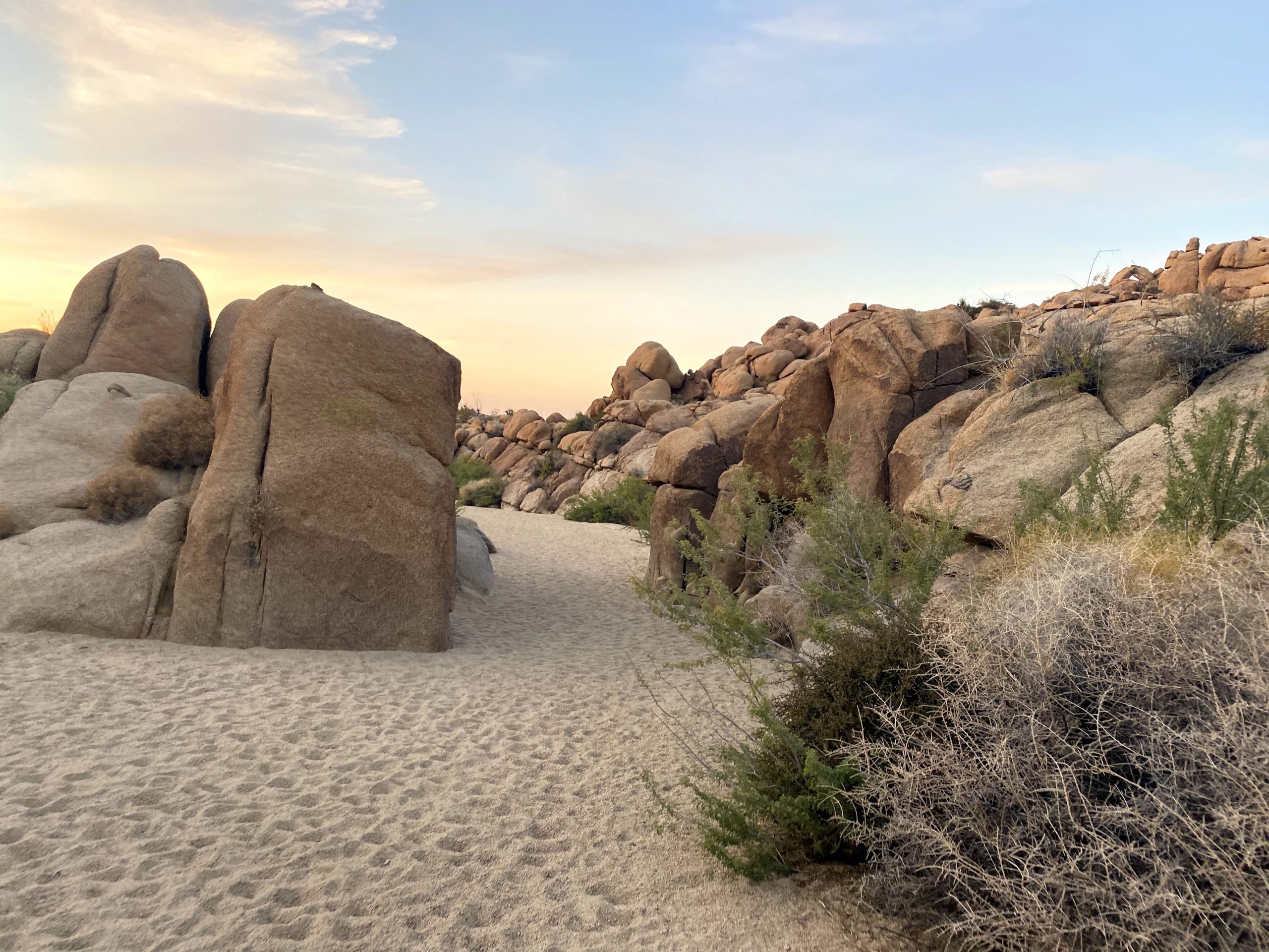
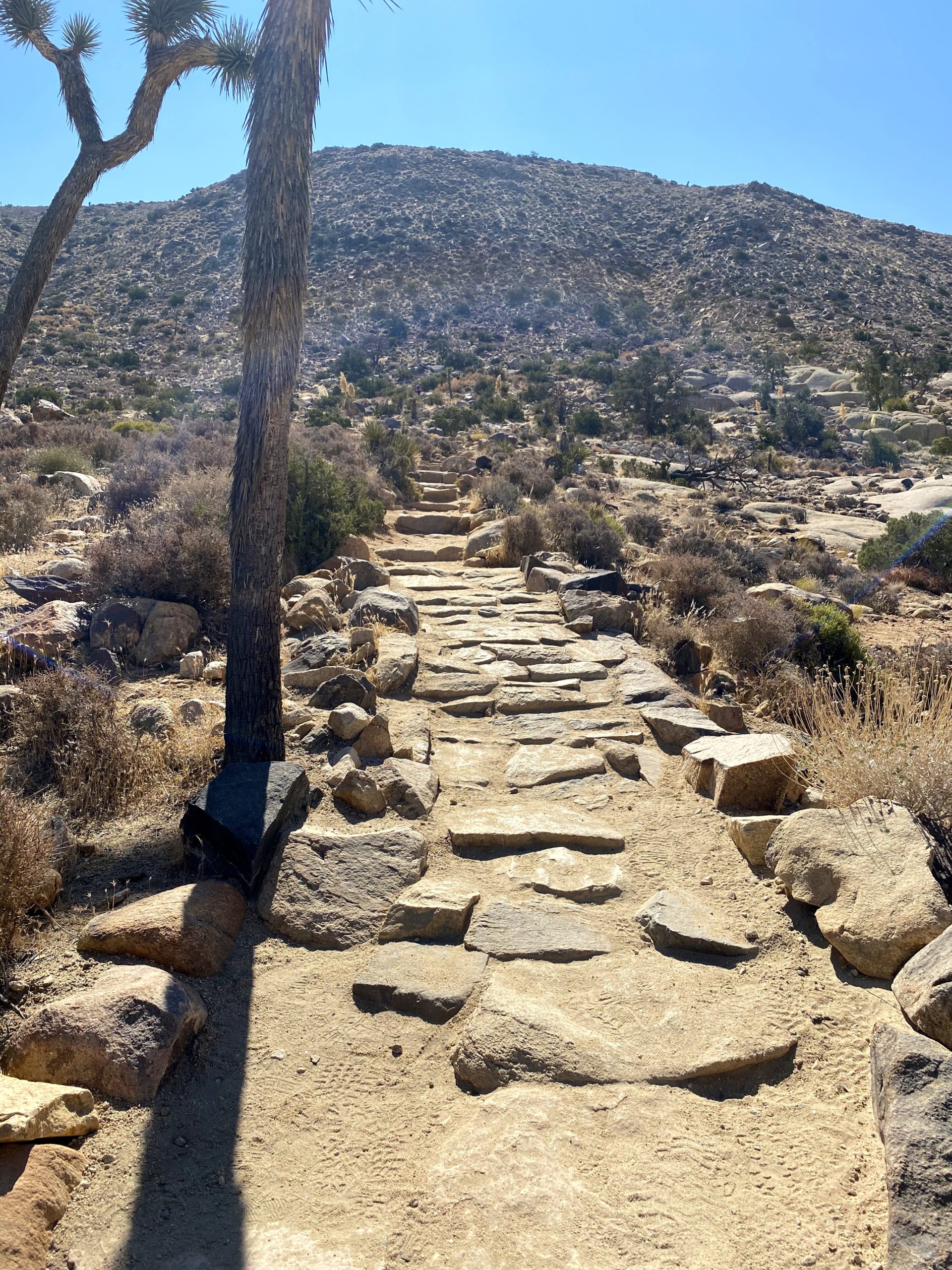
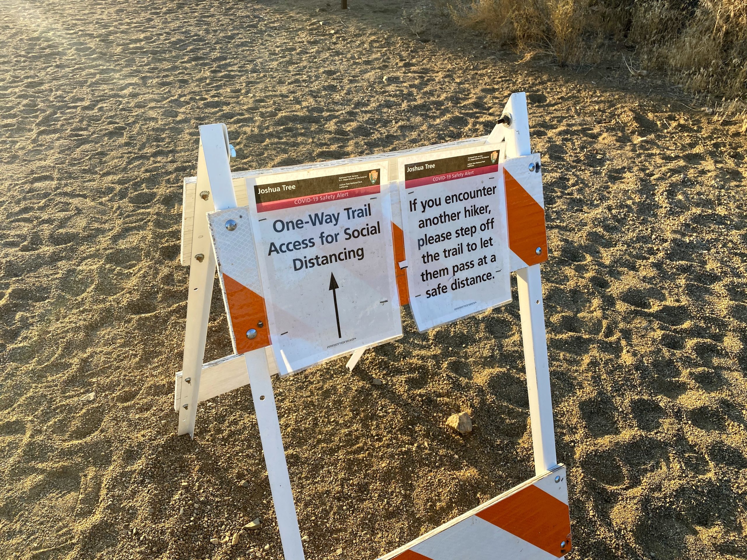
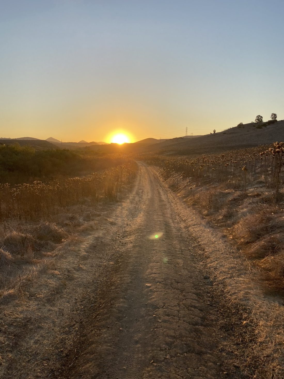
I decided to spend a couple of days exploring Joshua Tree National Park. The first day was spent summiting some peaks, and the second day would be playing tour guide for a friend. Since the weather was still warm, I knew I wanted to get an early start. I arrived at the trailhead for Lost Horse Mine to an empty parking lot around 7:30 am. This was to be the longest hike of the day, so I wanted to get it done first. After grabbing my gear, I set off to see the well-preserved mine and then summit the nearby peak. The entire loop is just about 7 miles, while if you just go to the mine and back it is about 4.5 miles. Being mindful of the temperatures, I was unsure which option I was going to take. As I stepped onto the trail, I saw the sign that the park had turned this trail into a one-way route, so I realized I’d doing the loop.
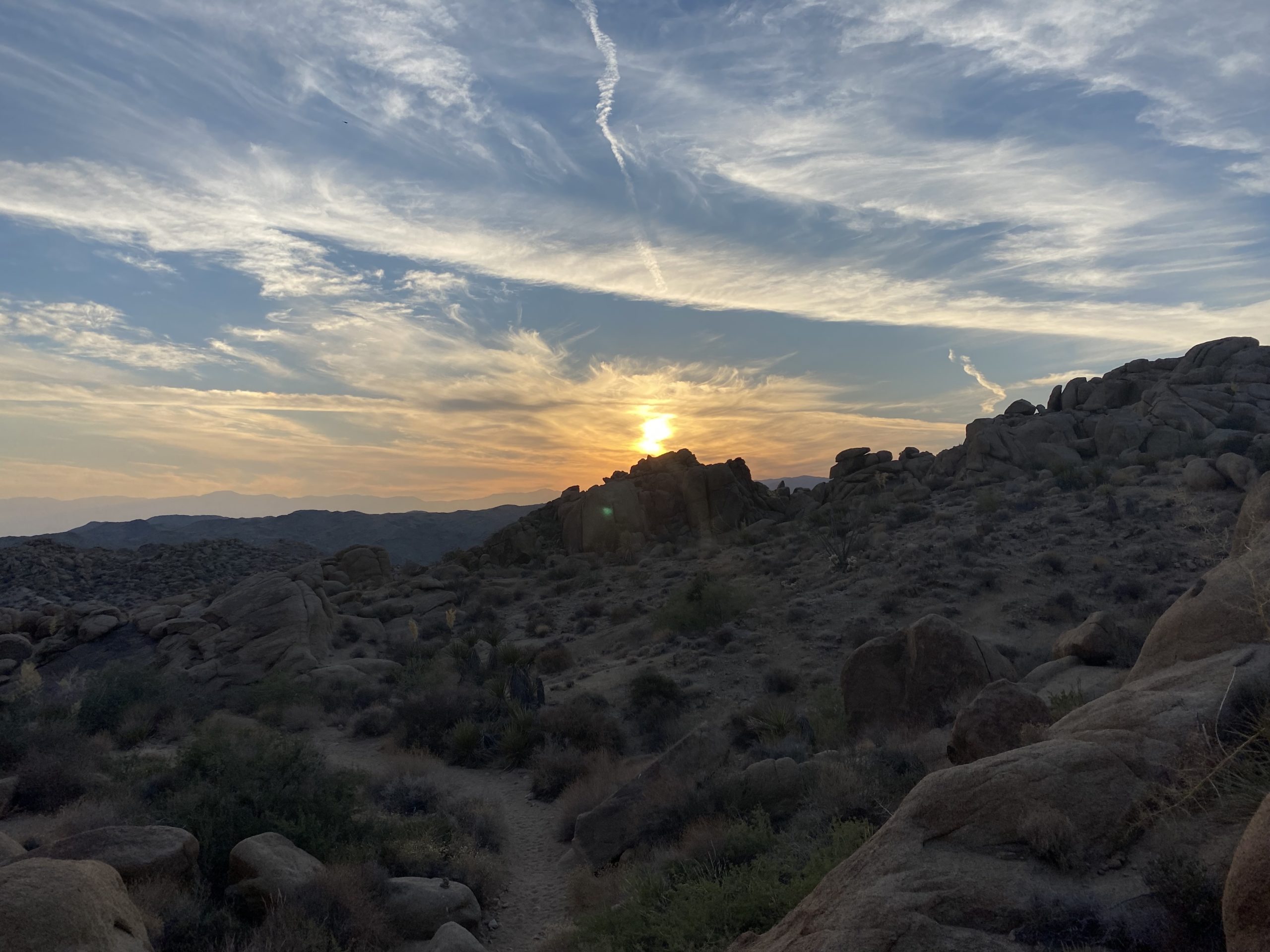
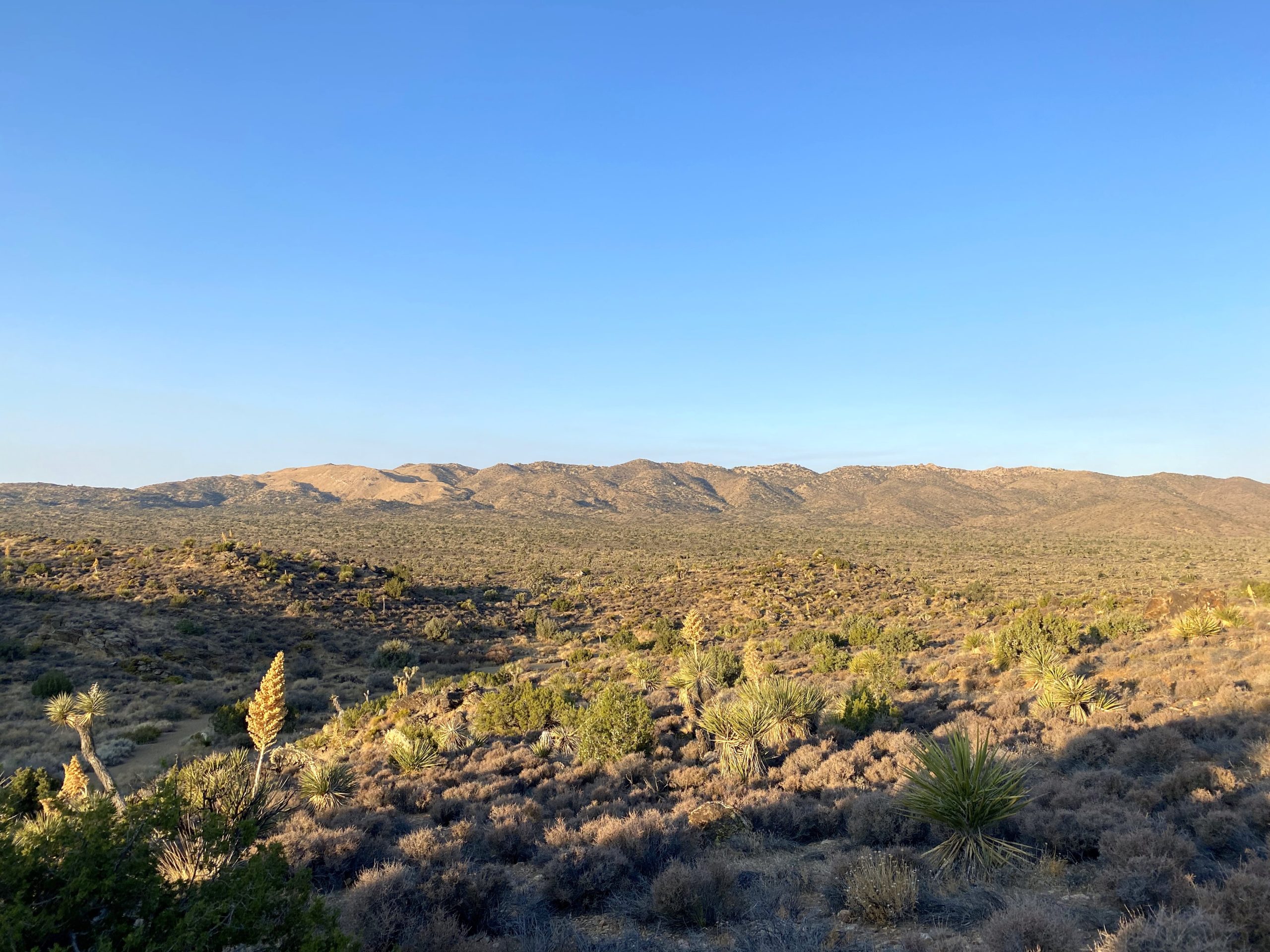
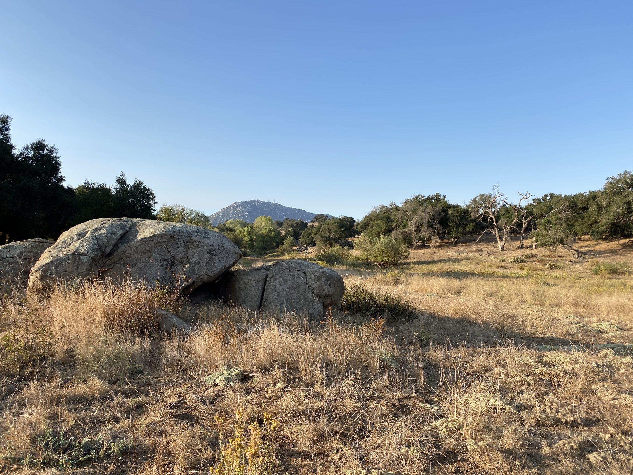
The trail worked its way back into the wilderness. About a mile in, a runner shouted that he was coming up from behind. I didn’t expect to see that on the trail. I wished him a safe run and he wished me an enjoyable hike. As I made my way toward the mine, I was rewarded with some nice vistas of the park. Soon the mine came into view. I had tried several times in the past to hike out to this site but had been unable to.
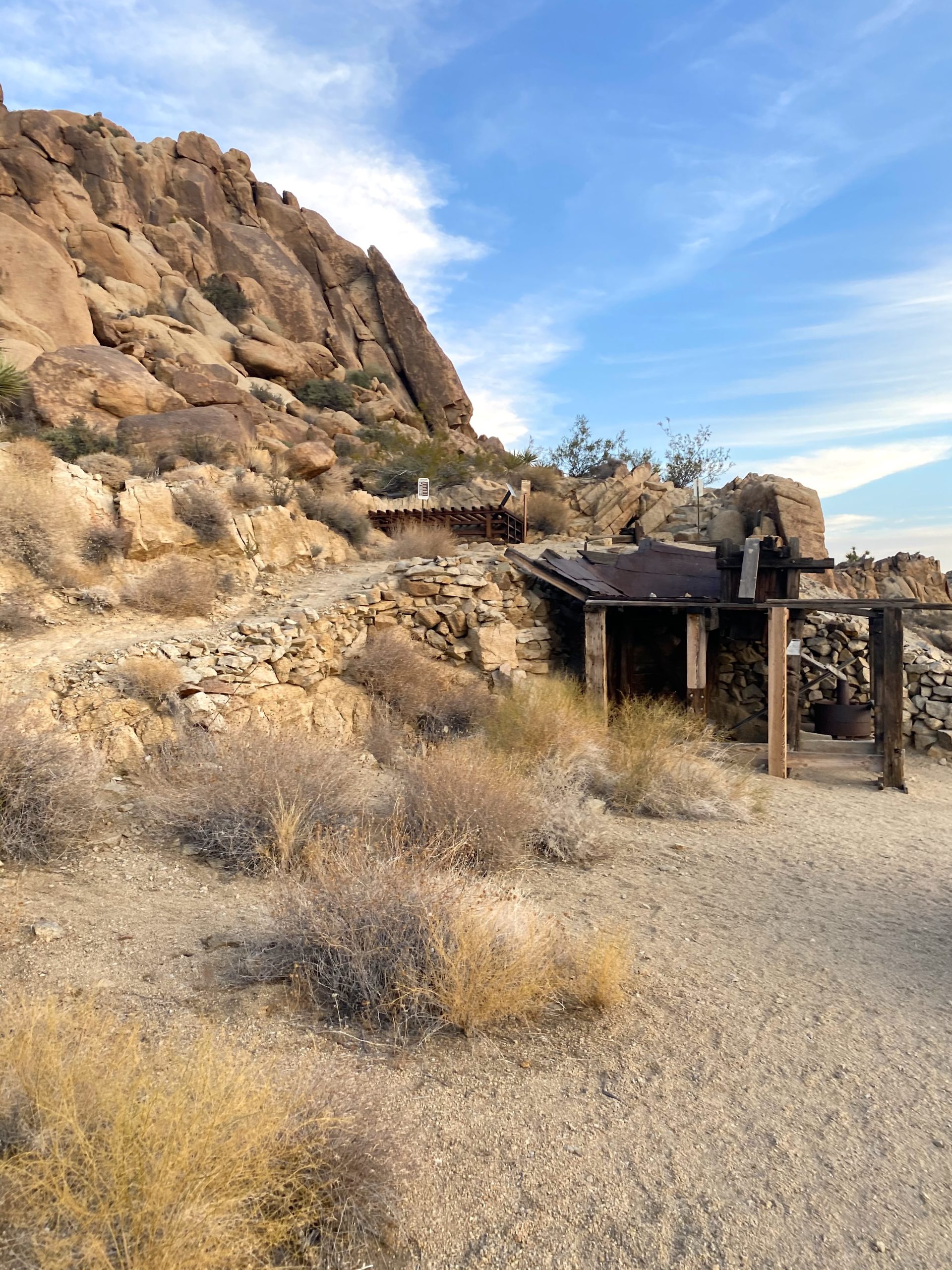
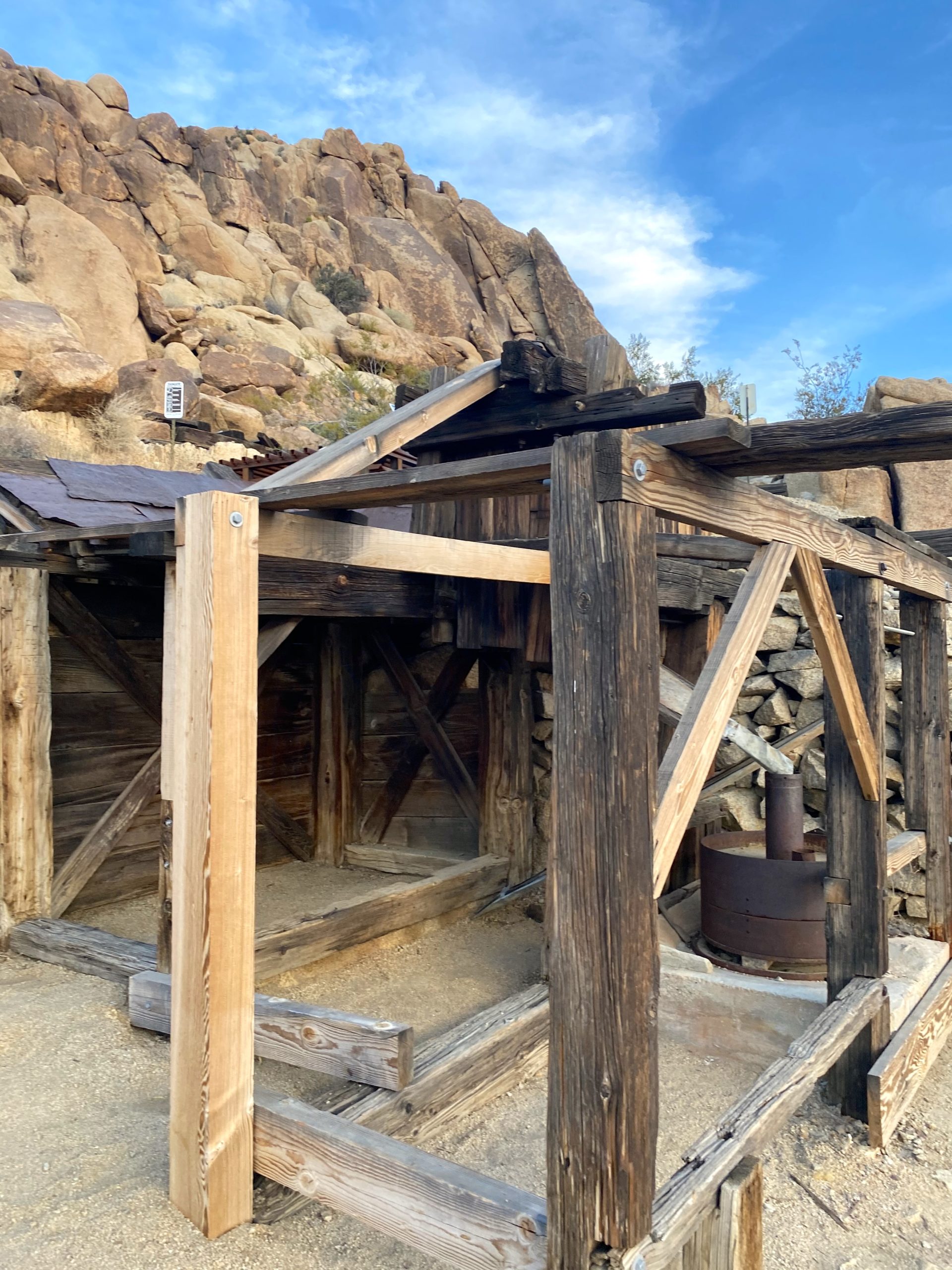
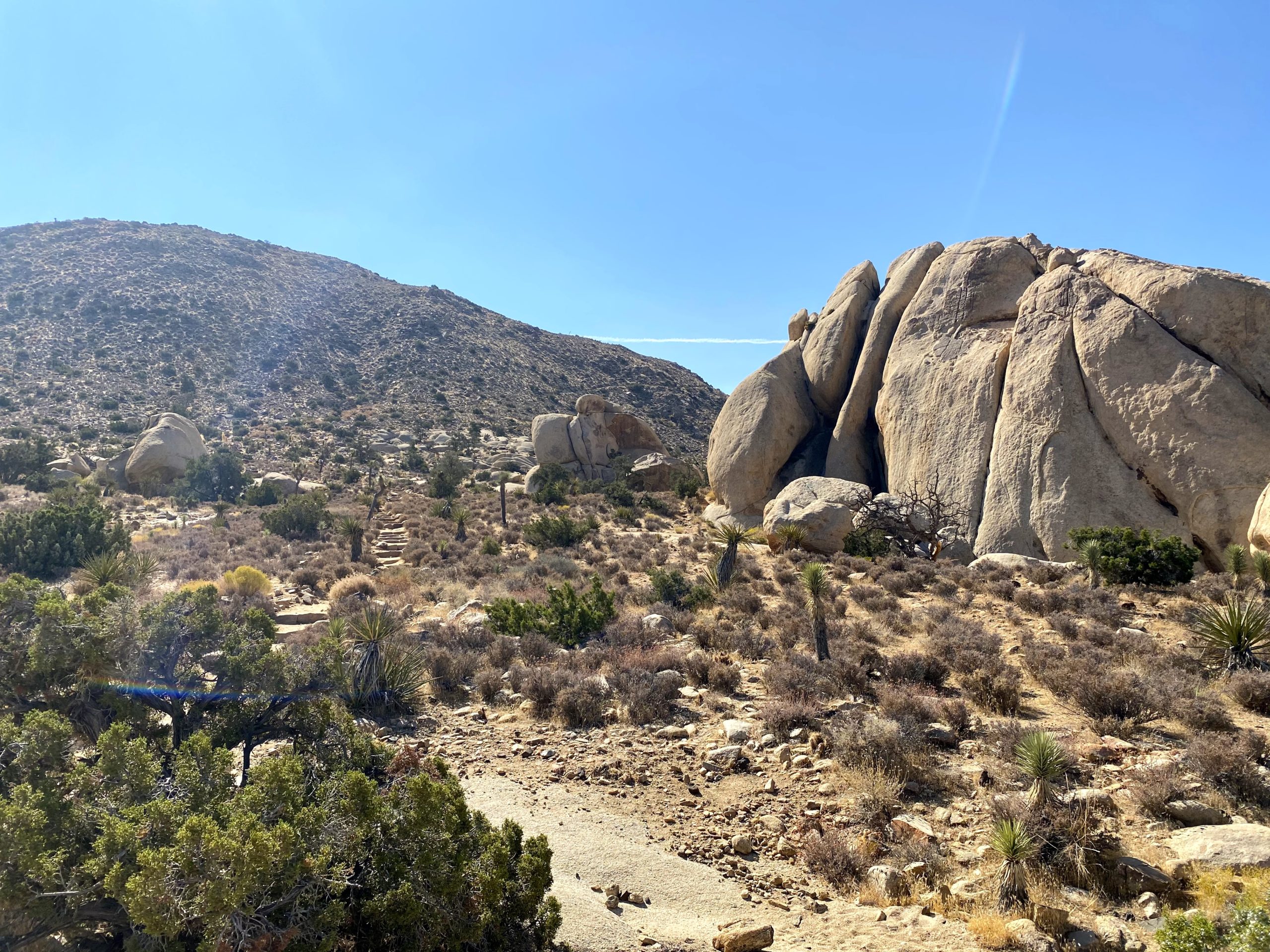
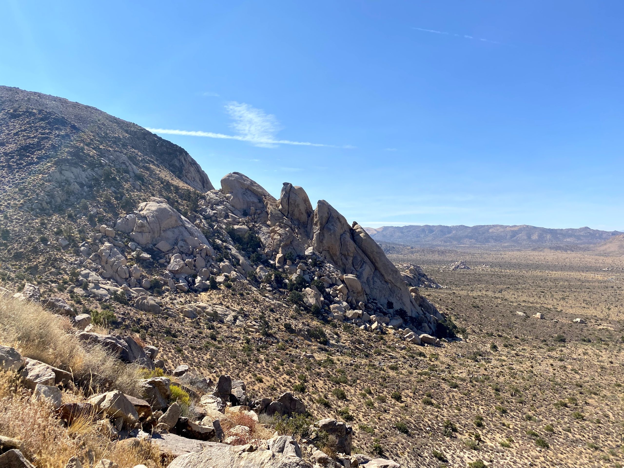
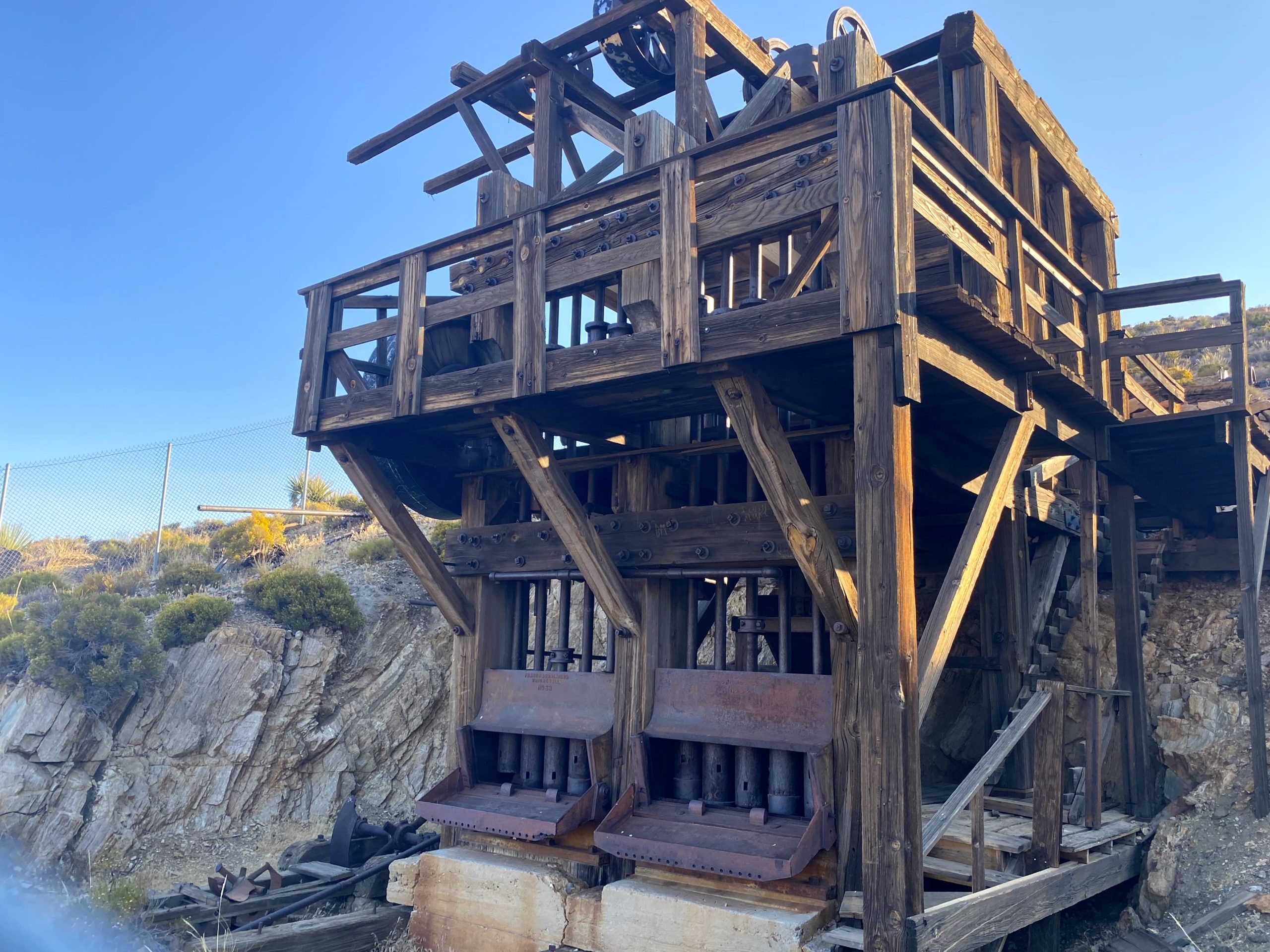
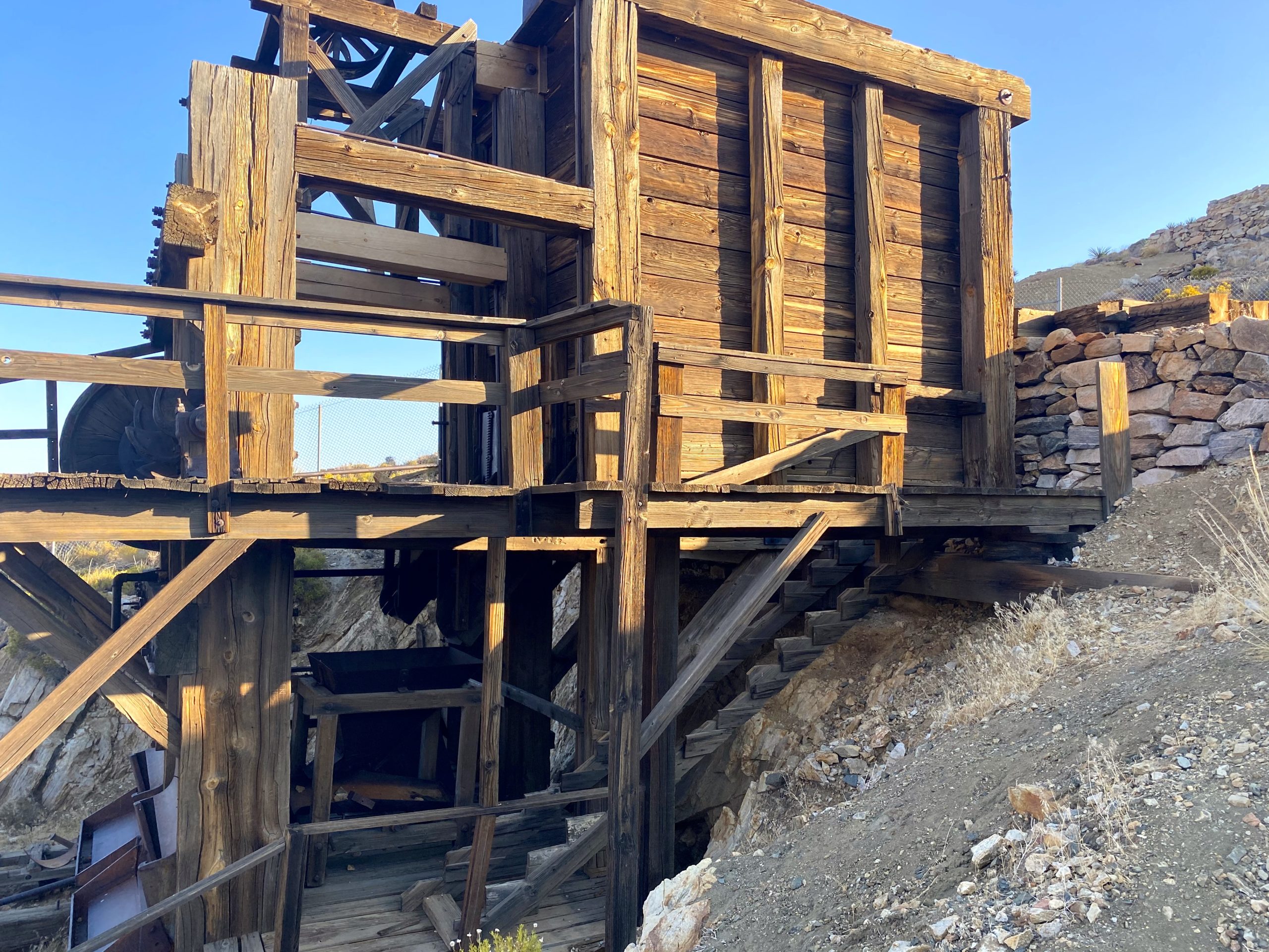
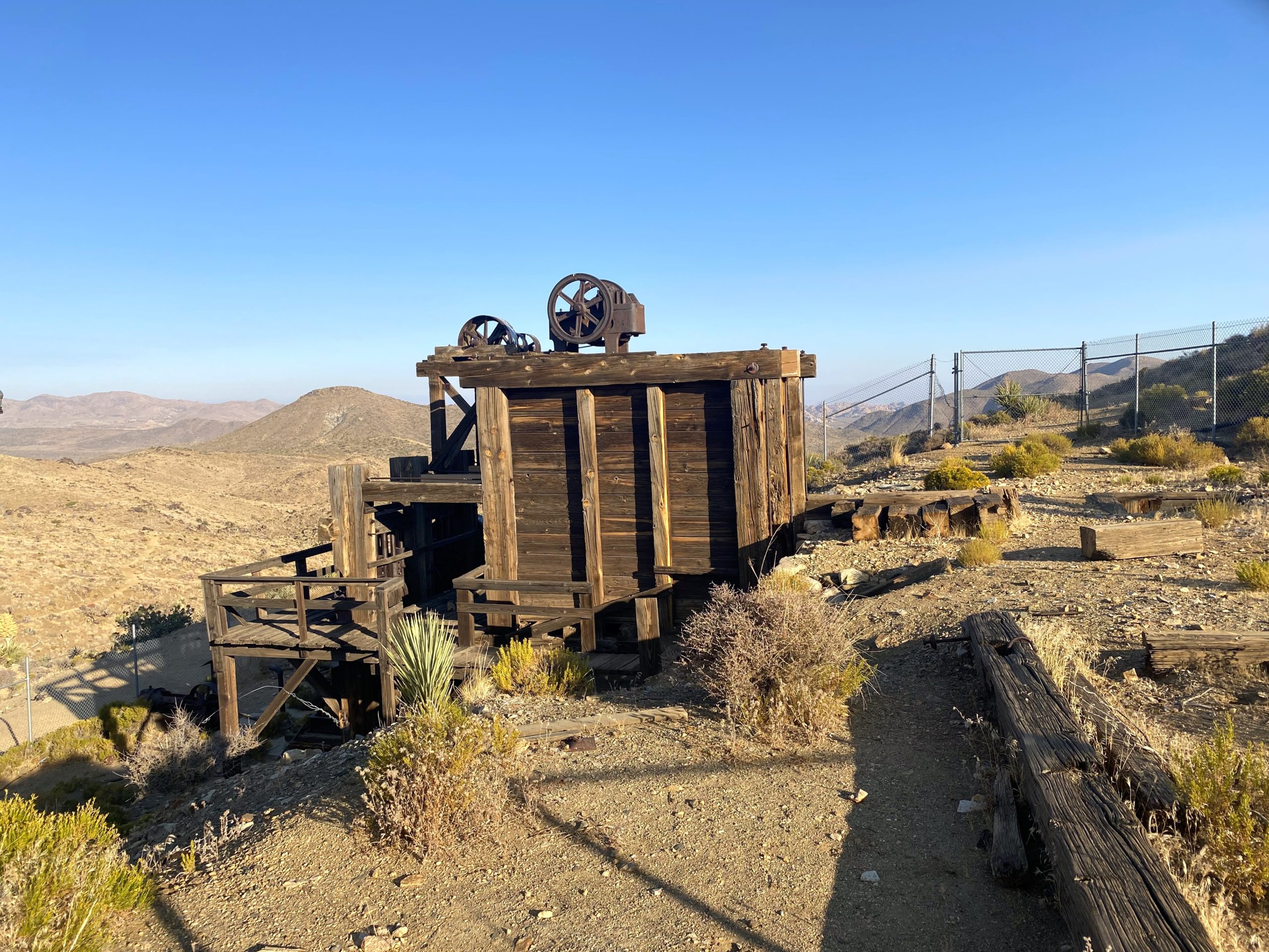
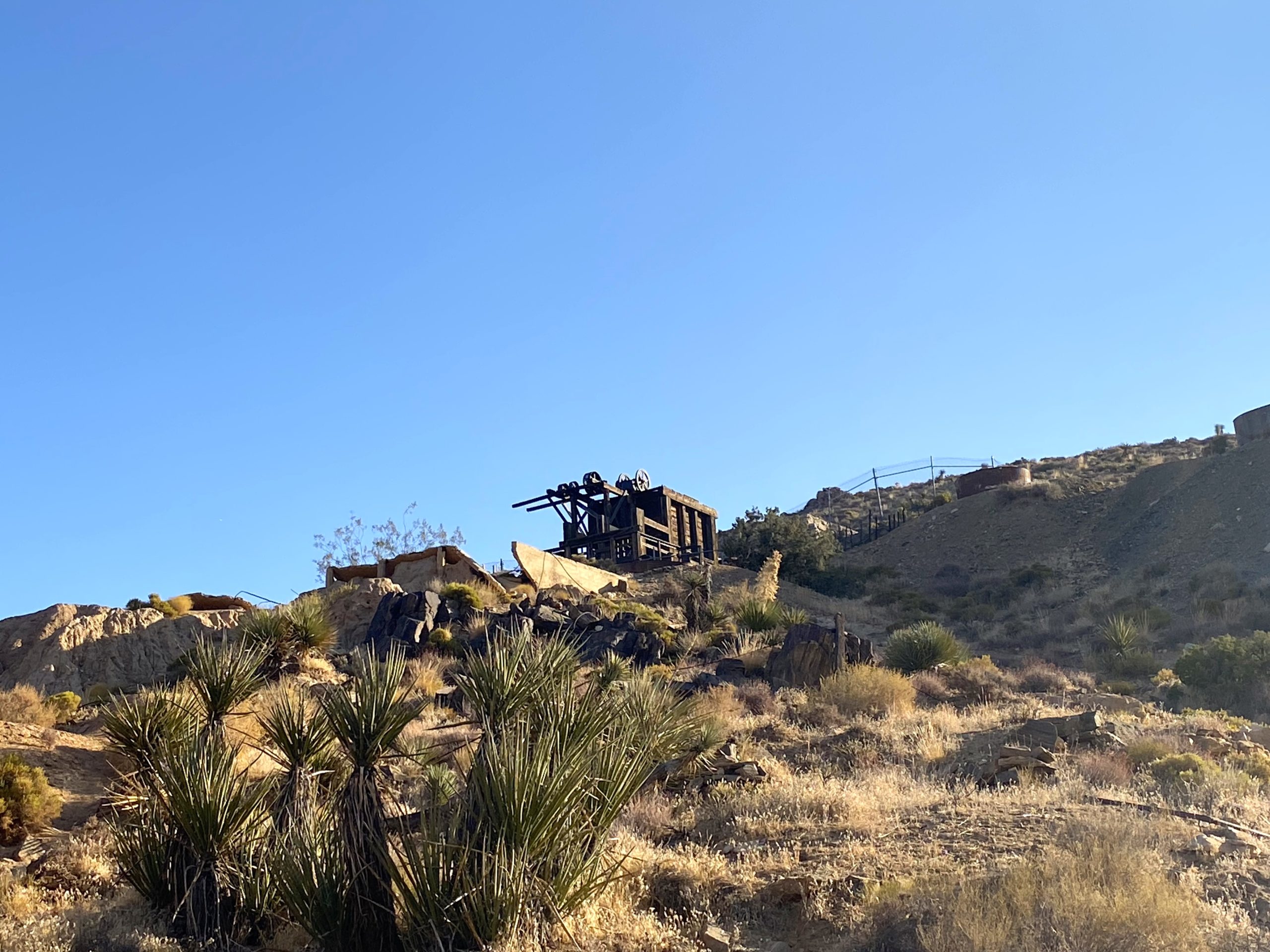
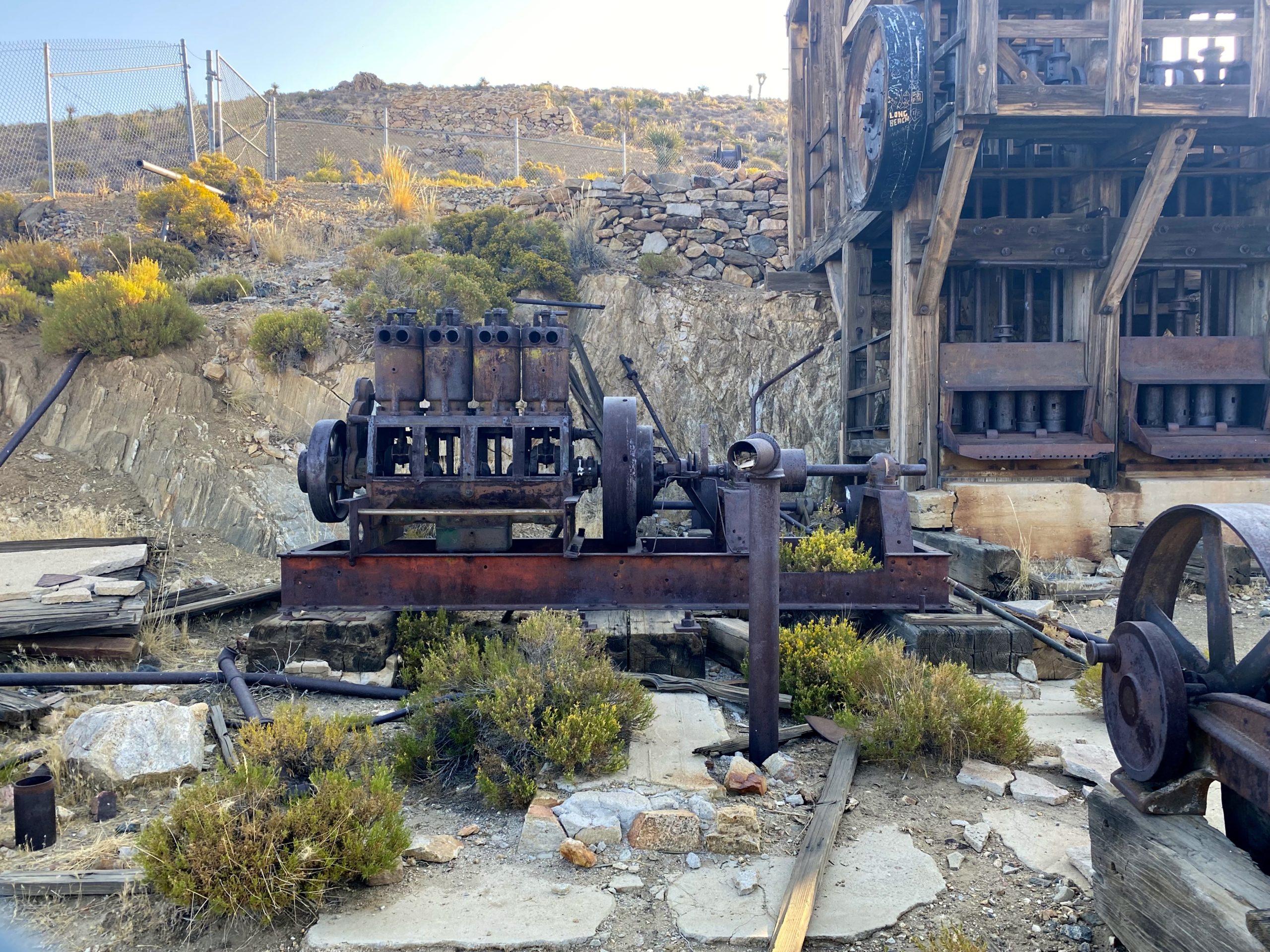
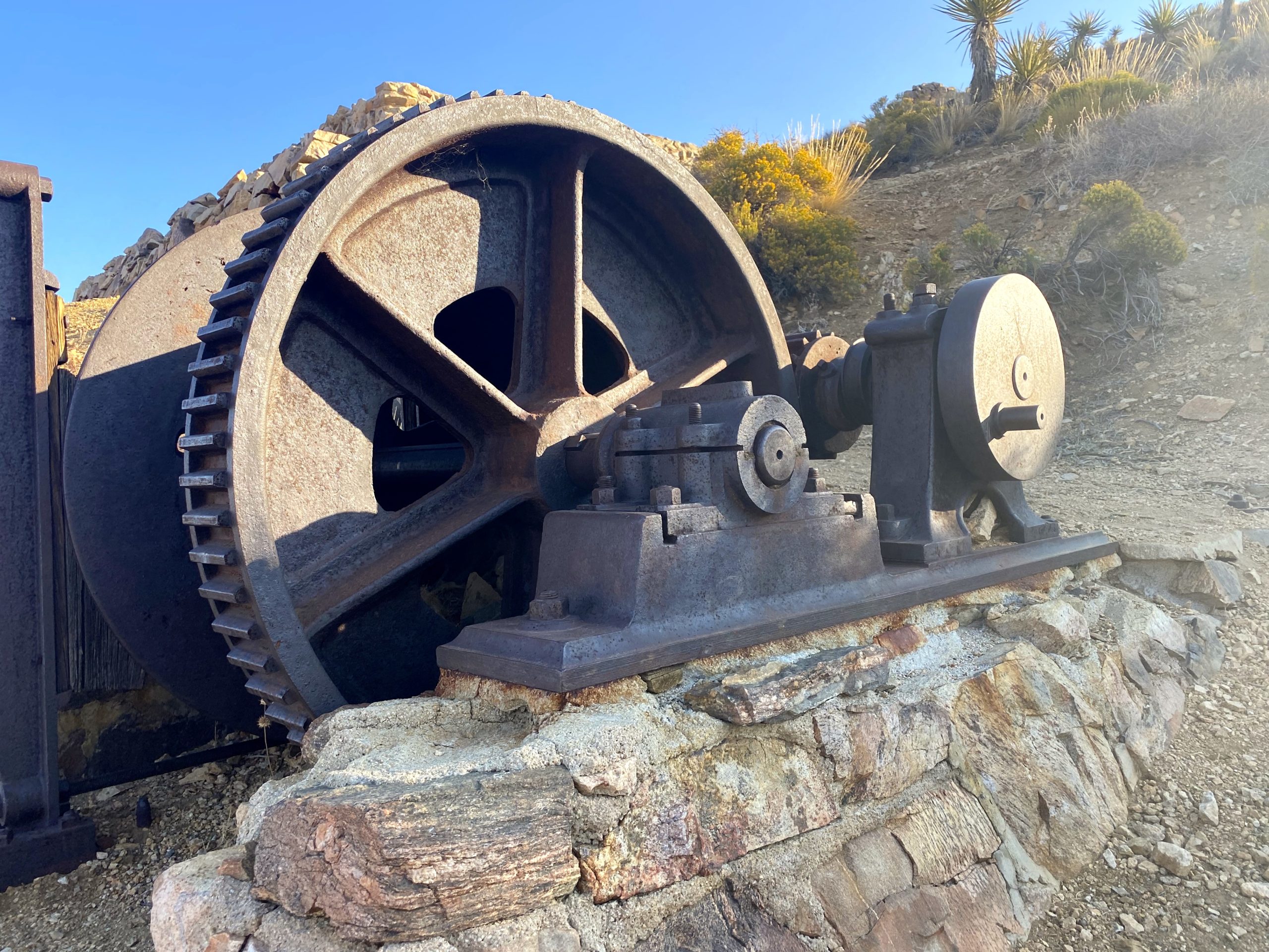
I took the spur trail up to the Lost Horse Mine. The mine itself is fenced off, so it took a little finagling to take my photos. It is quite a sight to see. After exploring some of the surrounding artifacts, I rejoined the main trail and headed along my clockwise route. I soon came to the turnoff to make the ascent to Lost Horse Mountain. This peak is #251 on the Sierra Club Hundred Peaks Section, hence why I was eager to climb it.
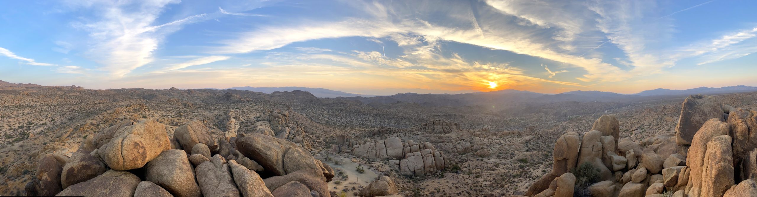
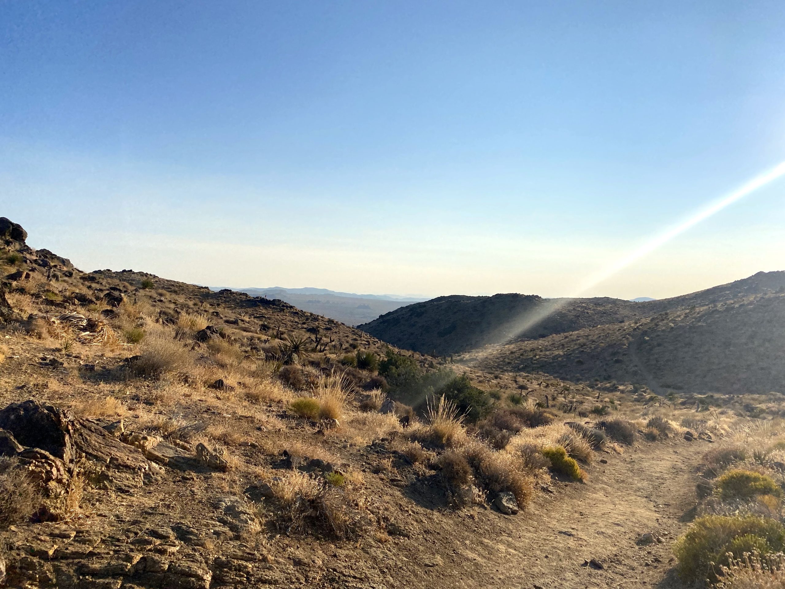
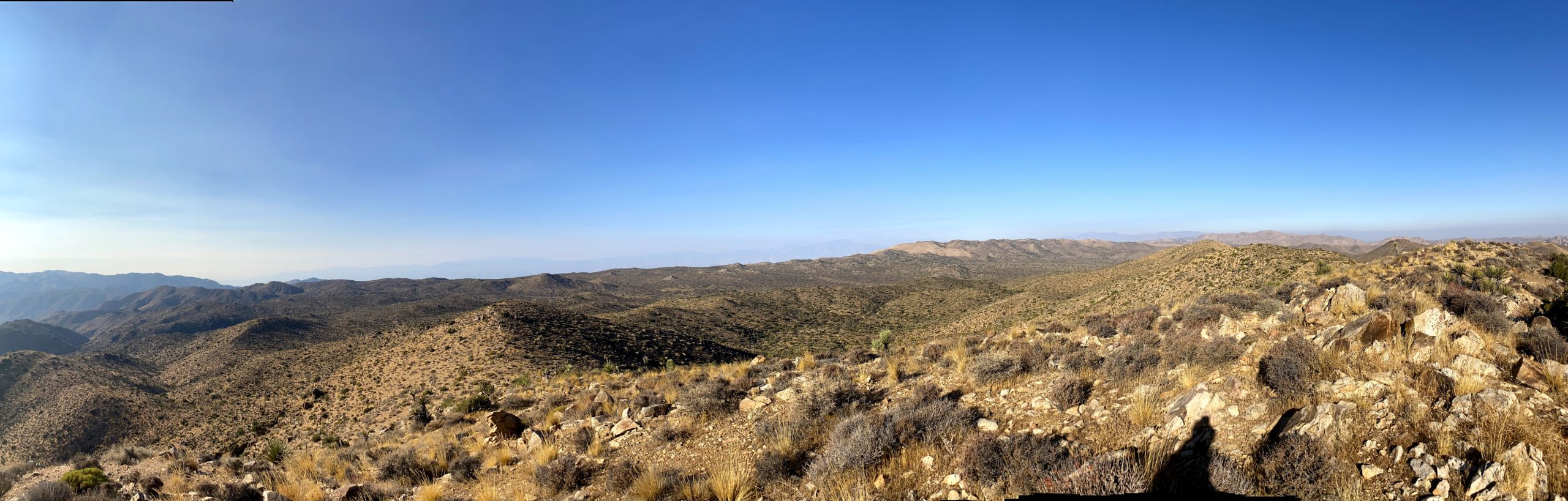
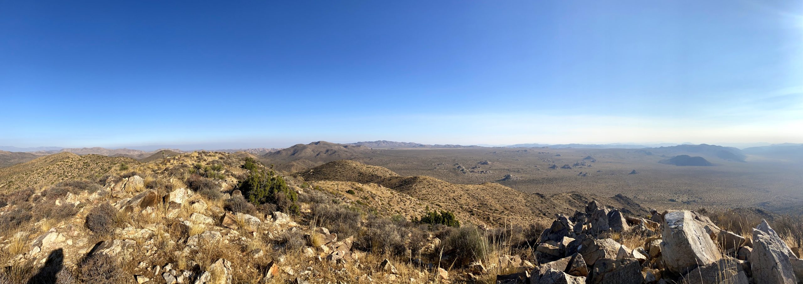
The route is straight up the short slope, and I was able to follow the faint use trail for most of it. As expected I was rewarded with some sweeping views. A light breeze made it quite nice. There was no register nor benchmark to be found. After a short break, I headed back down, knowing I had another 4 or so miles of hiking to return to the car.
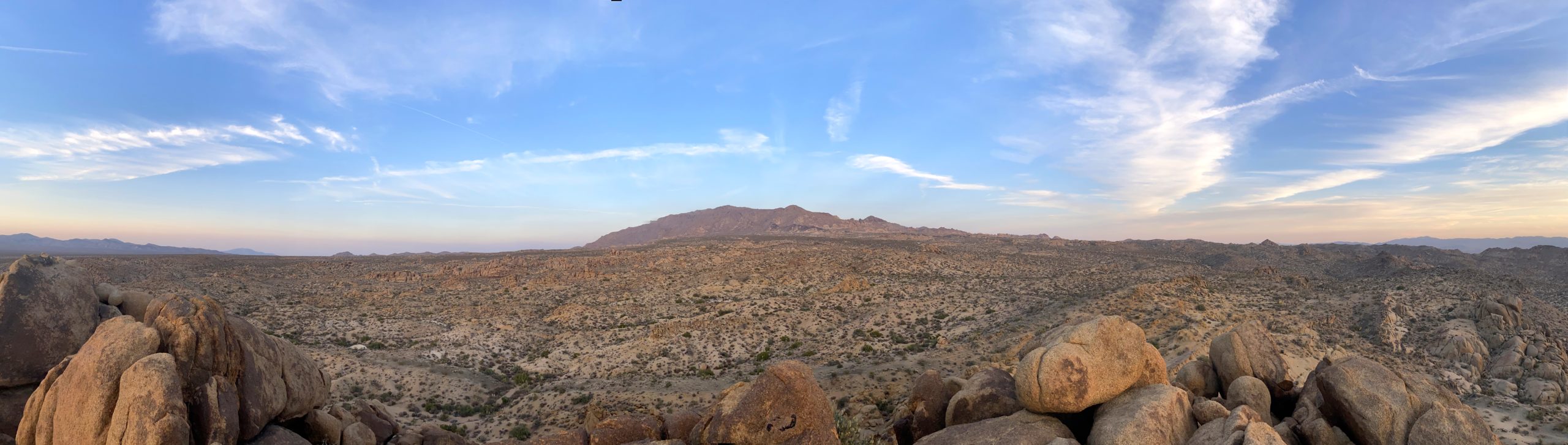
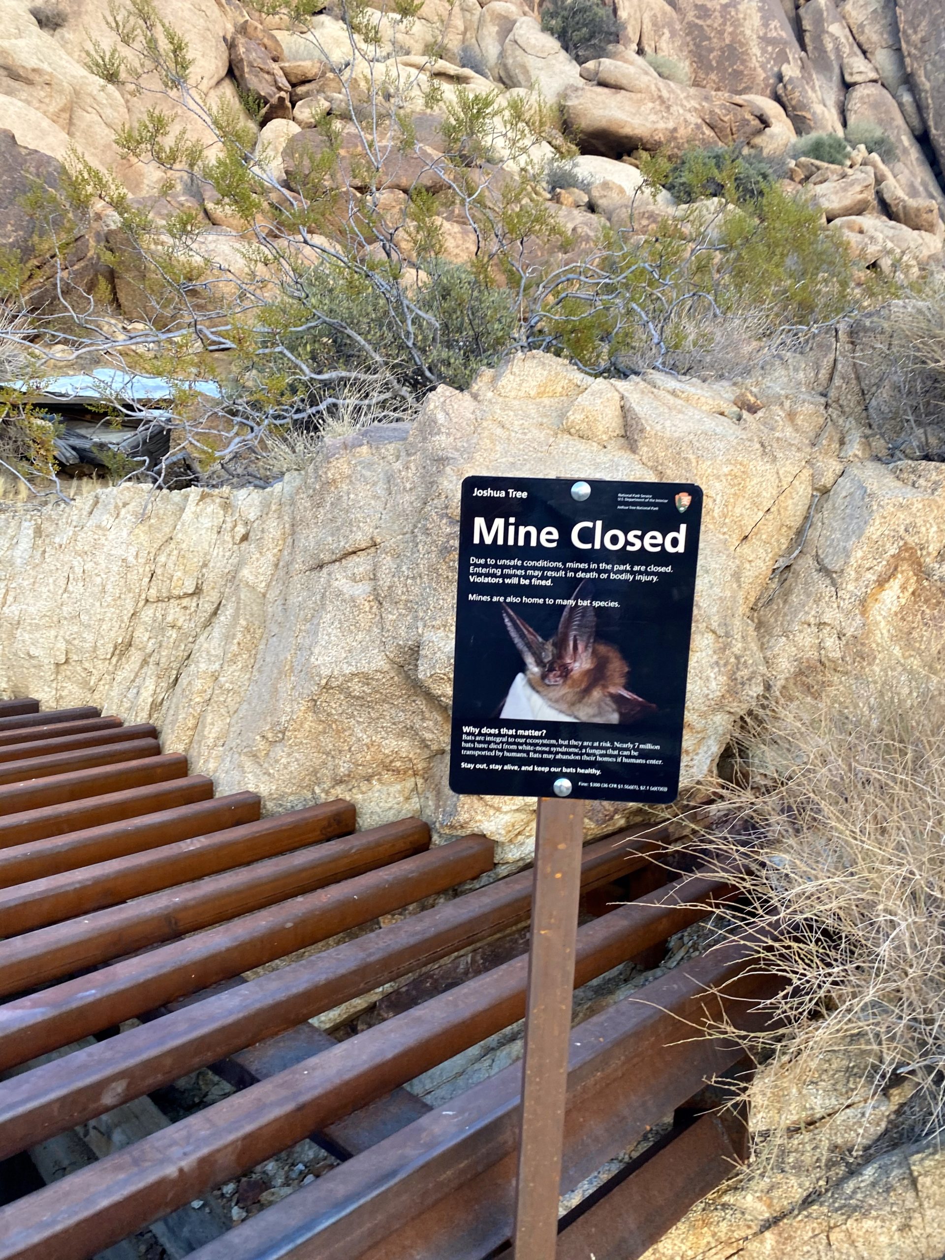
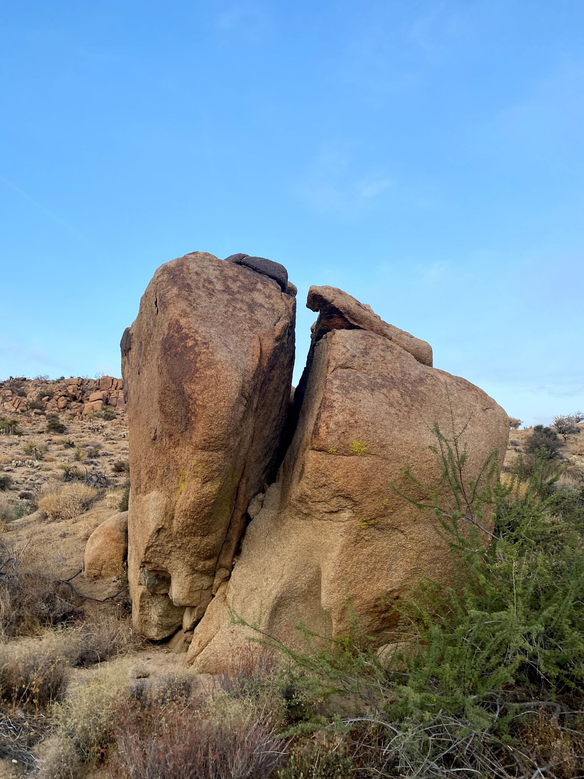
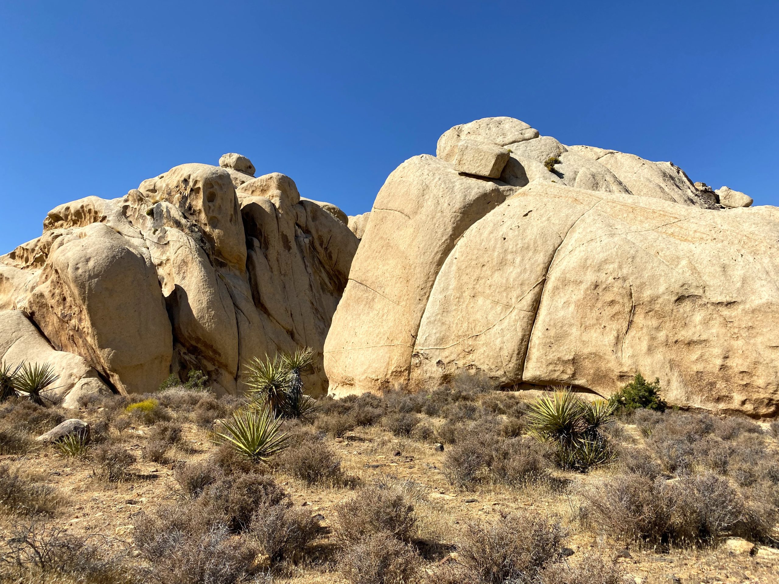
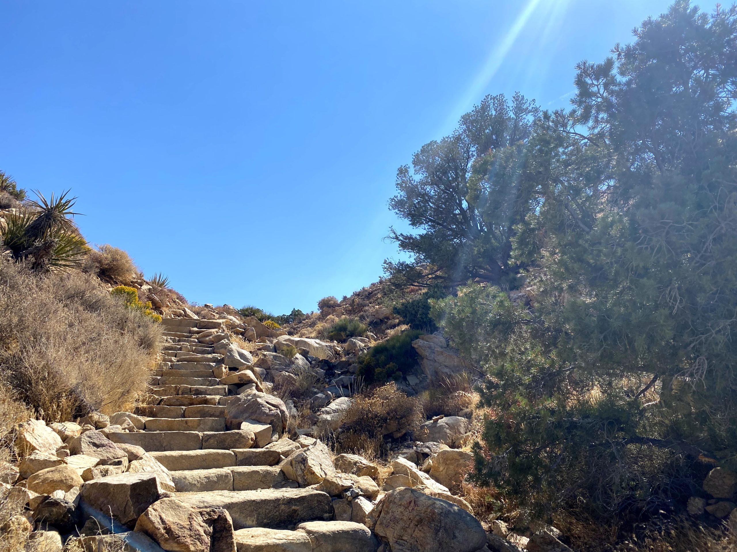
Once I was back on the trail, it began its steep descent for a while. I stopped for a bit to explore what appeared to be closed mine shafts. Here, an actual hiker passed me. We exchanged hellos as he continued on. Since I was hoping for a multiple peak day, I was playing it conservatively with my pace and energy.
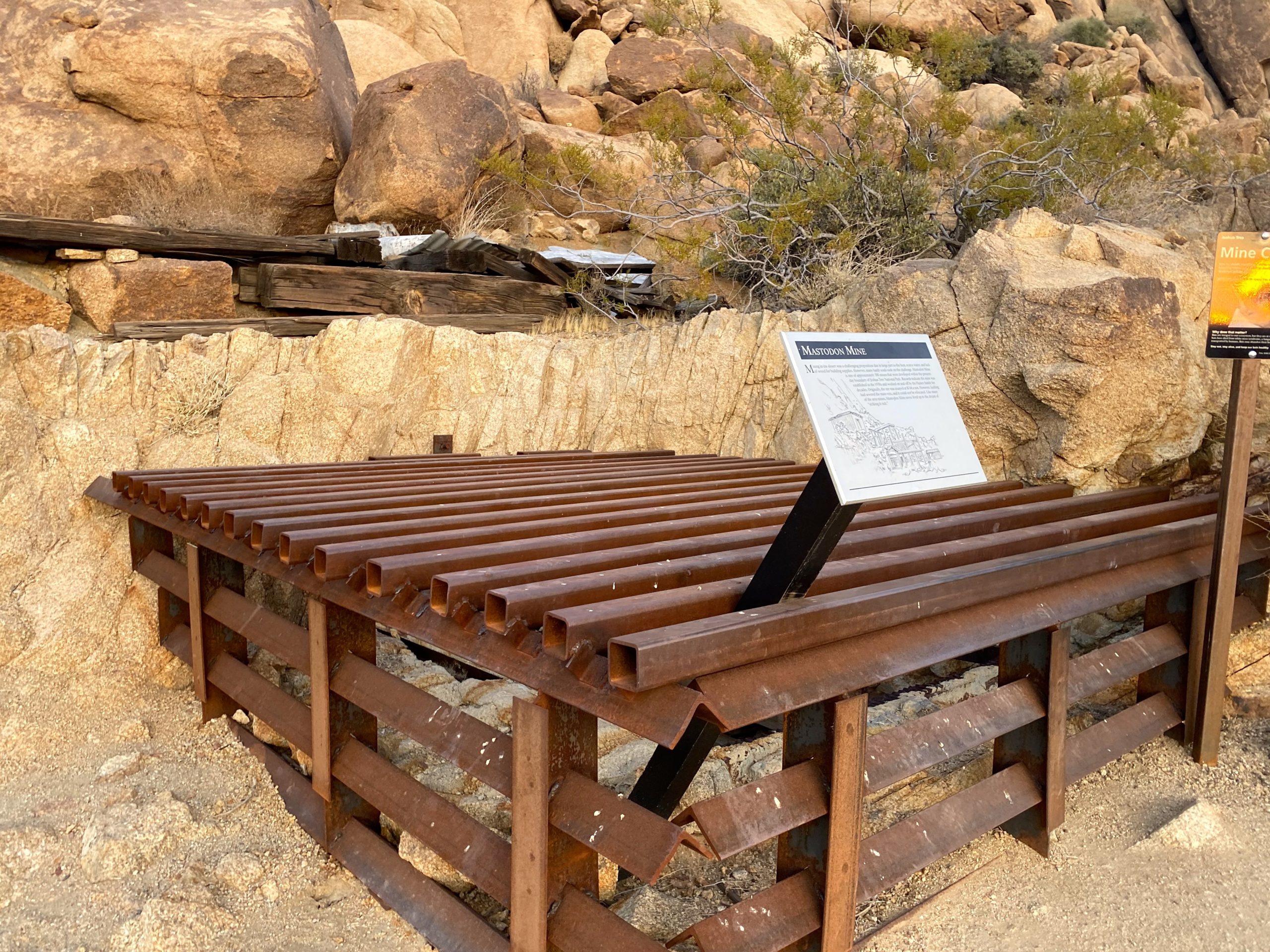
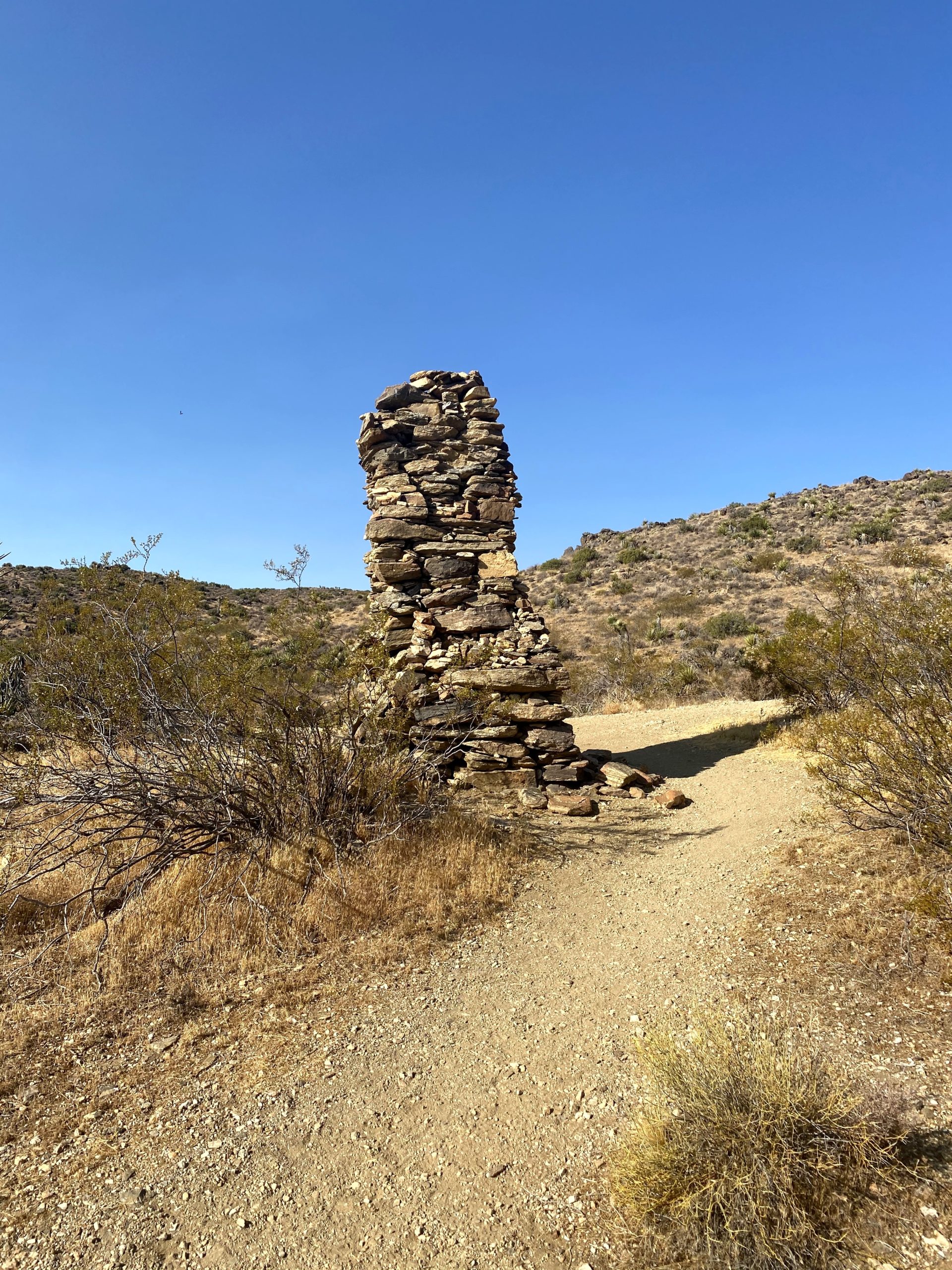
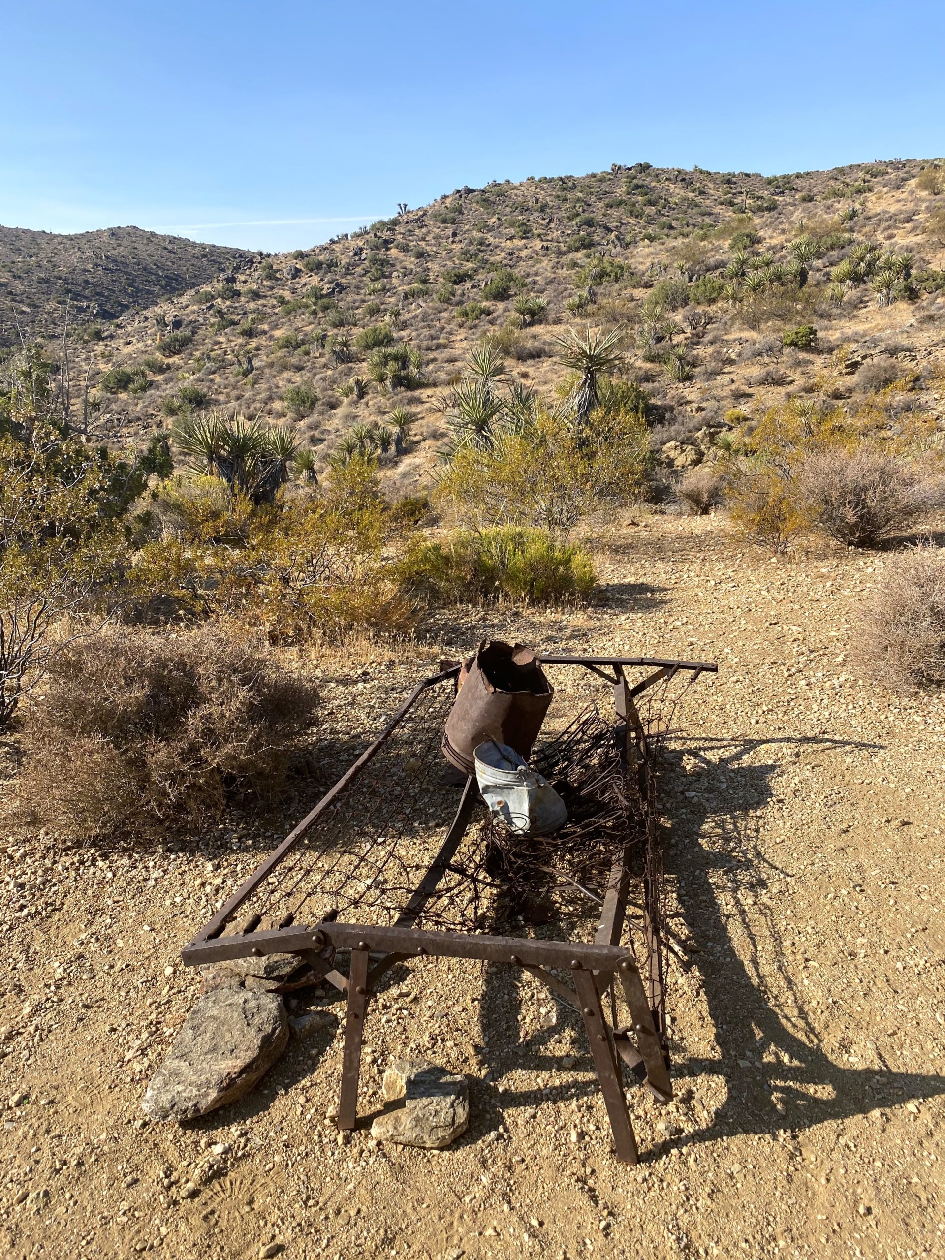
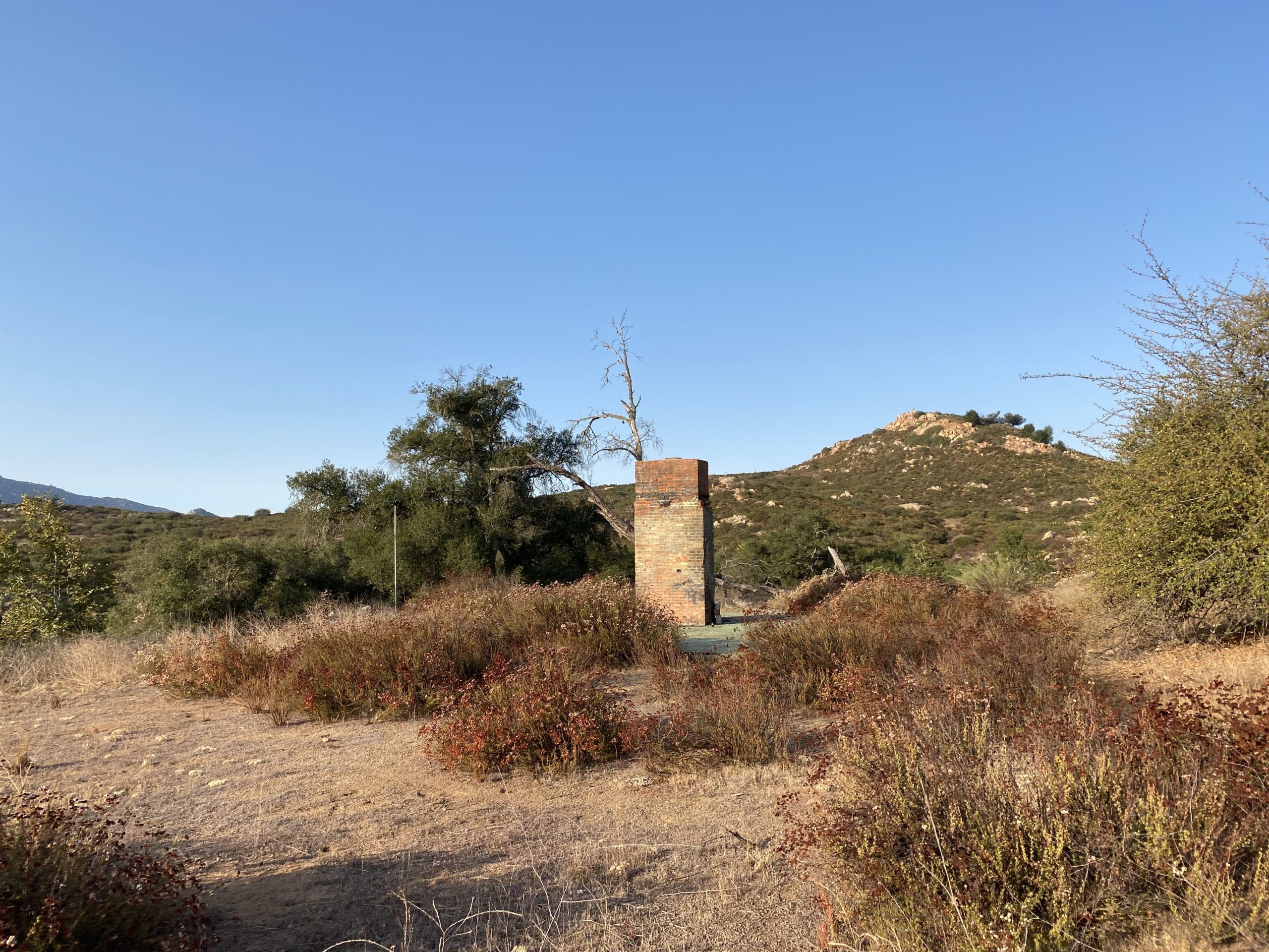
After a bit, I came to the ruins of an abandoned cabin that Johnny Lang, the founder of the mine, moved to after being accused of stealing gold from the mine. All that remains is the chimney and the bed frame. This is also the site of the Optimist Mine, which unlike the Lost Horse Mine, was a bust.
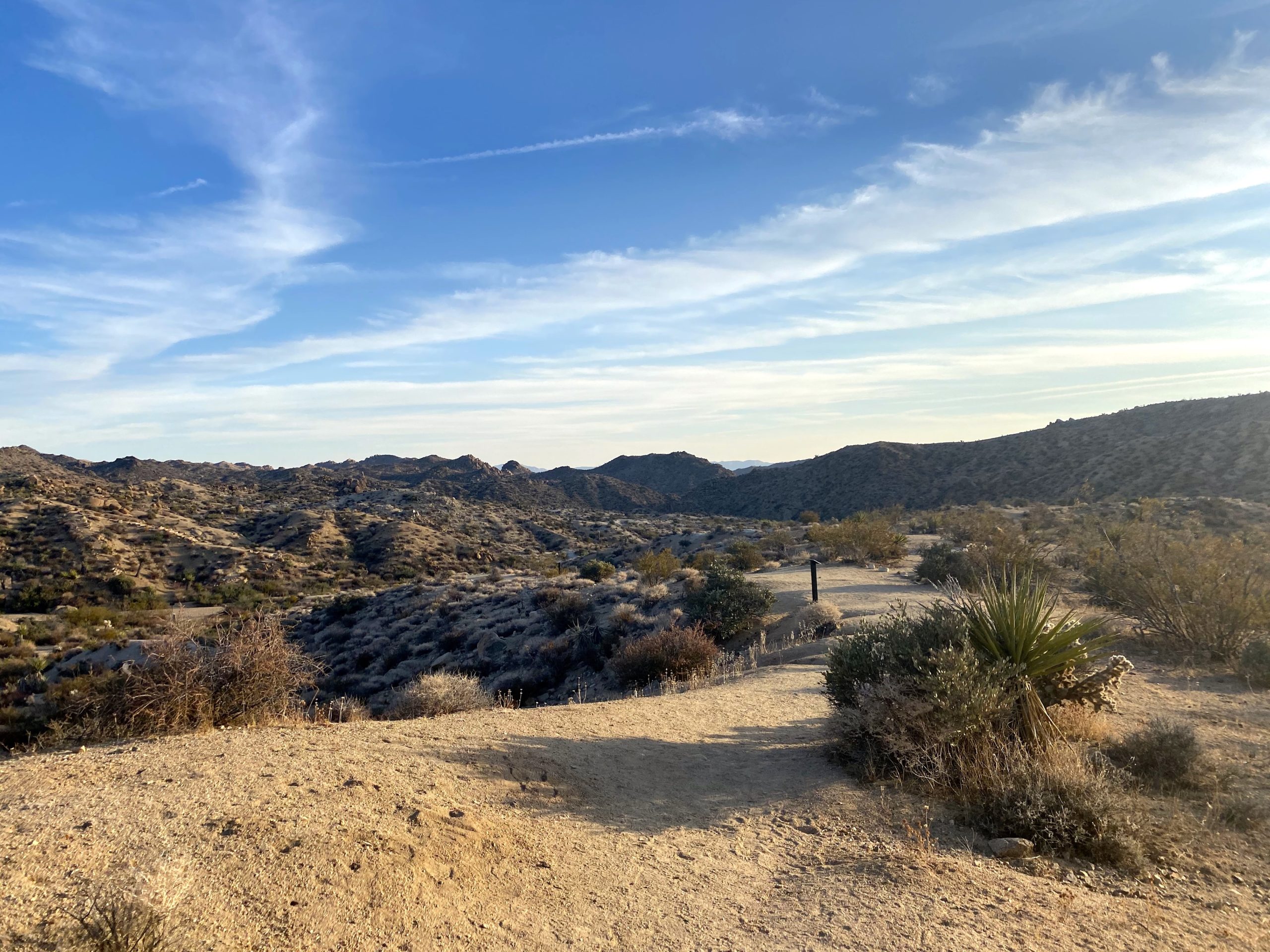
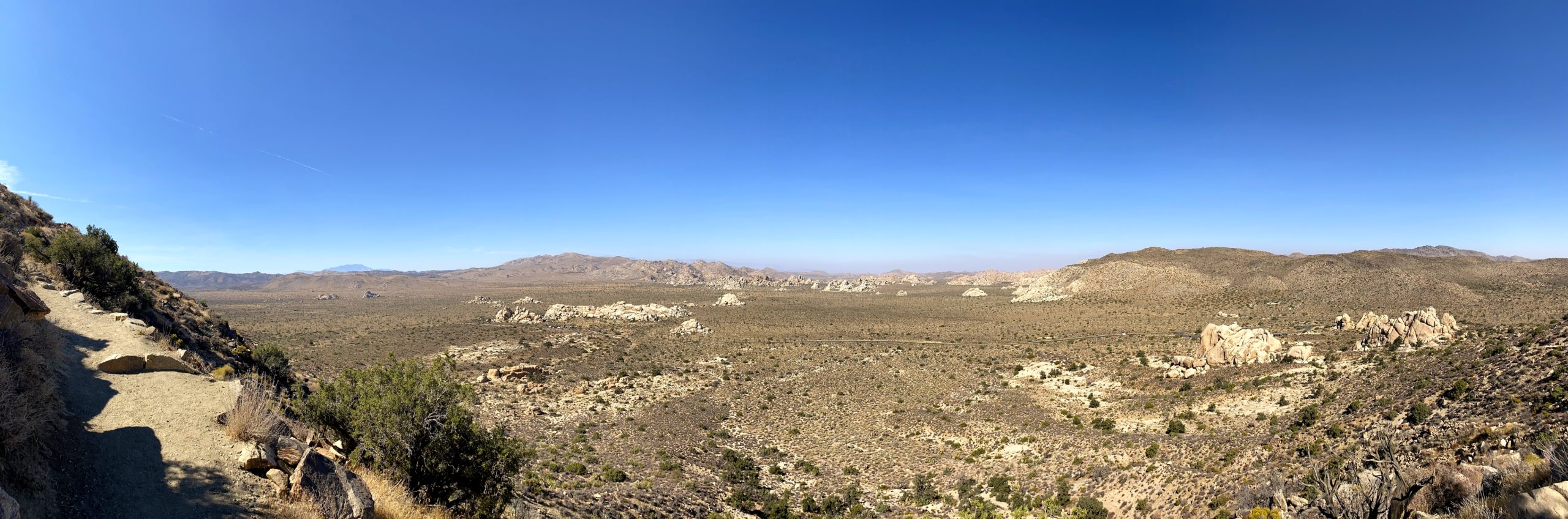
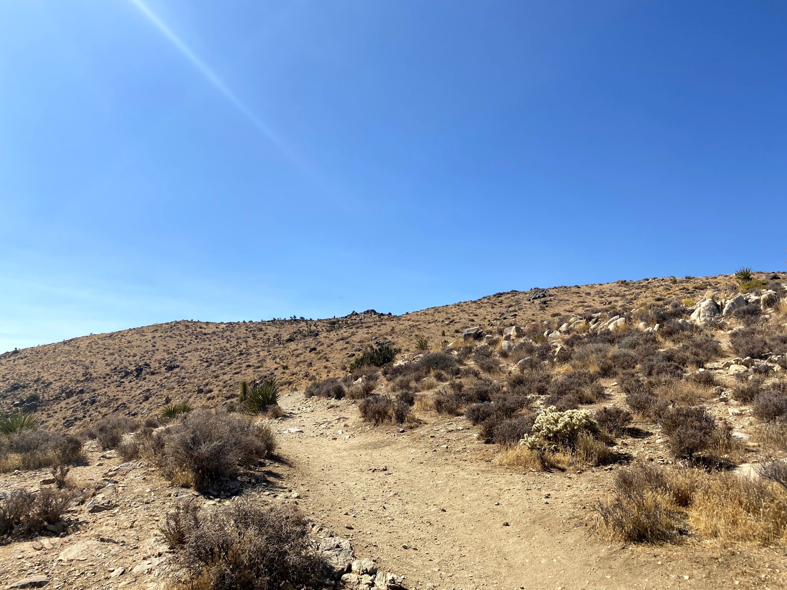
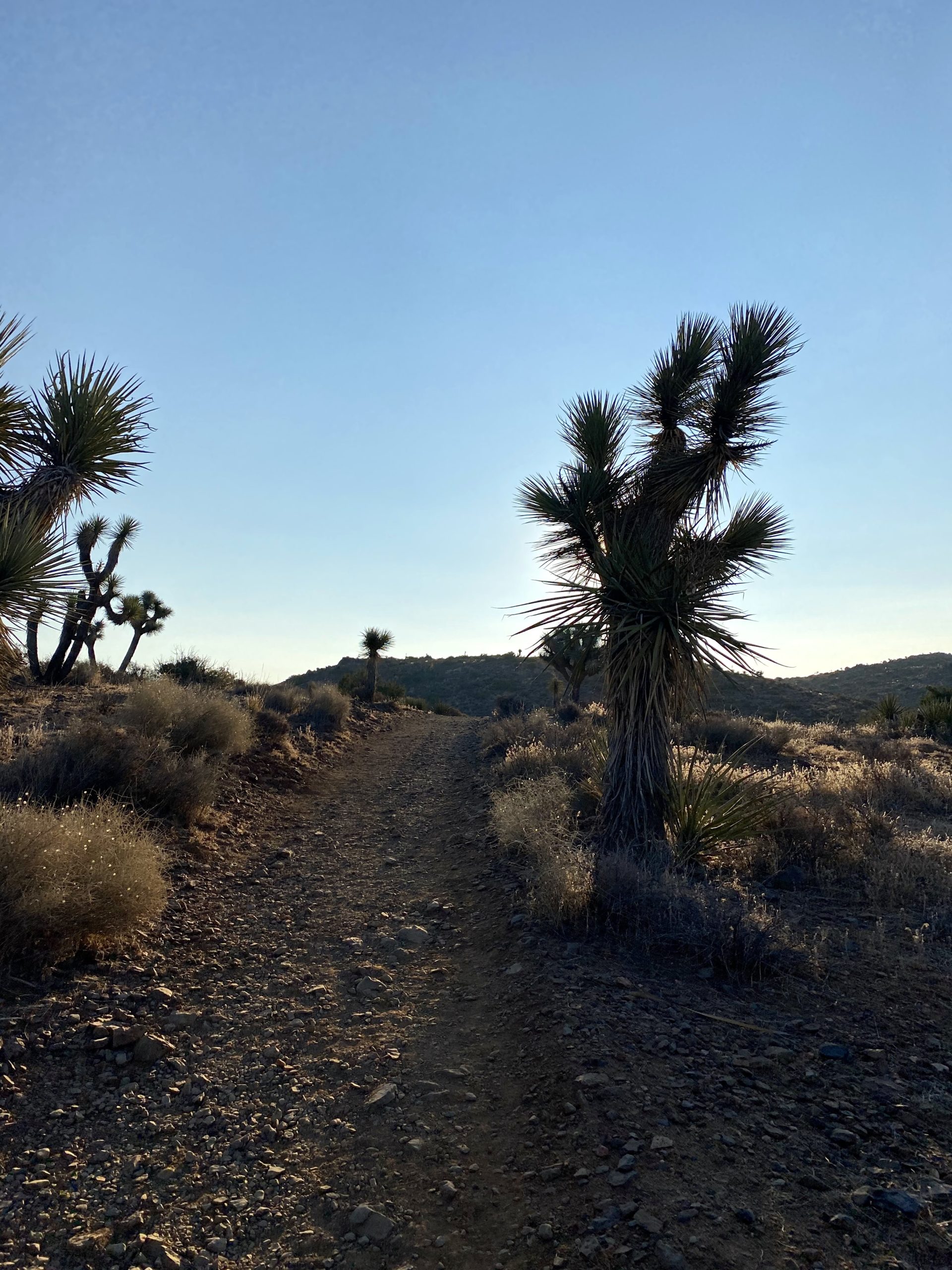
Once I made a short climb, the trail would gradually descend back to the car. I was passed by another runner. Did I miss the notice for the race? Around a mile to go, I encountered three hikers going the other direction. I let them know that this trail is one-way and they might encounter some folks giving them the stink-eye.
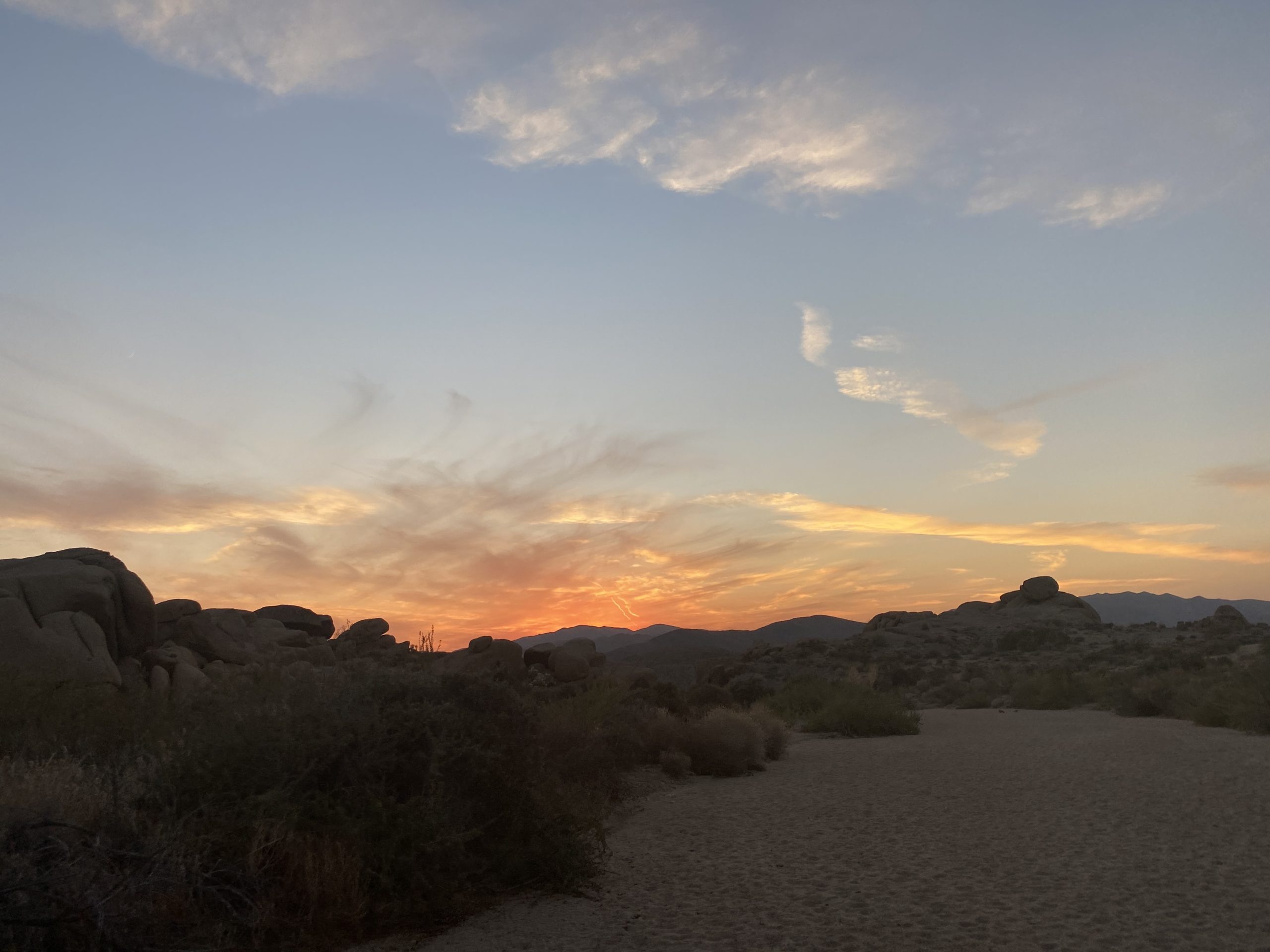
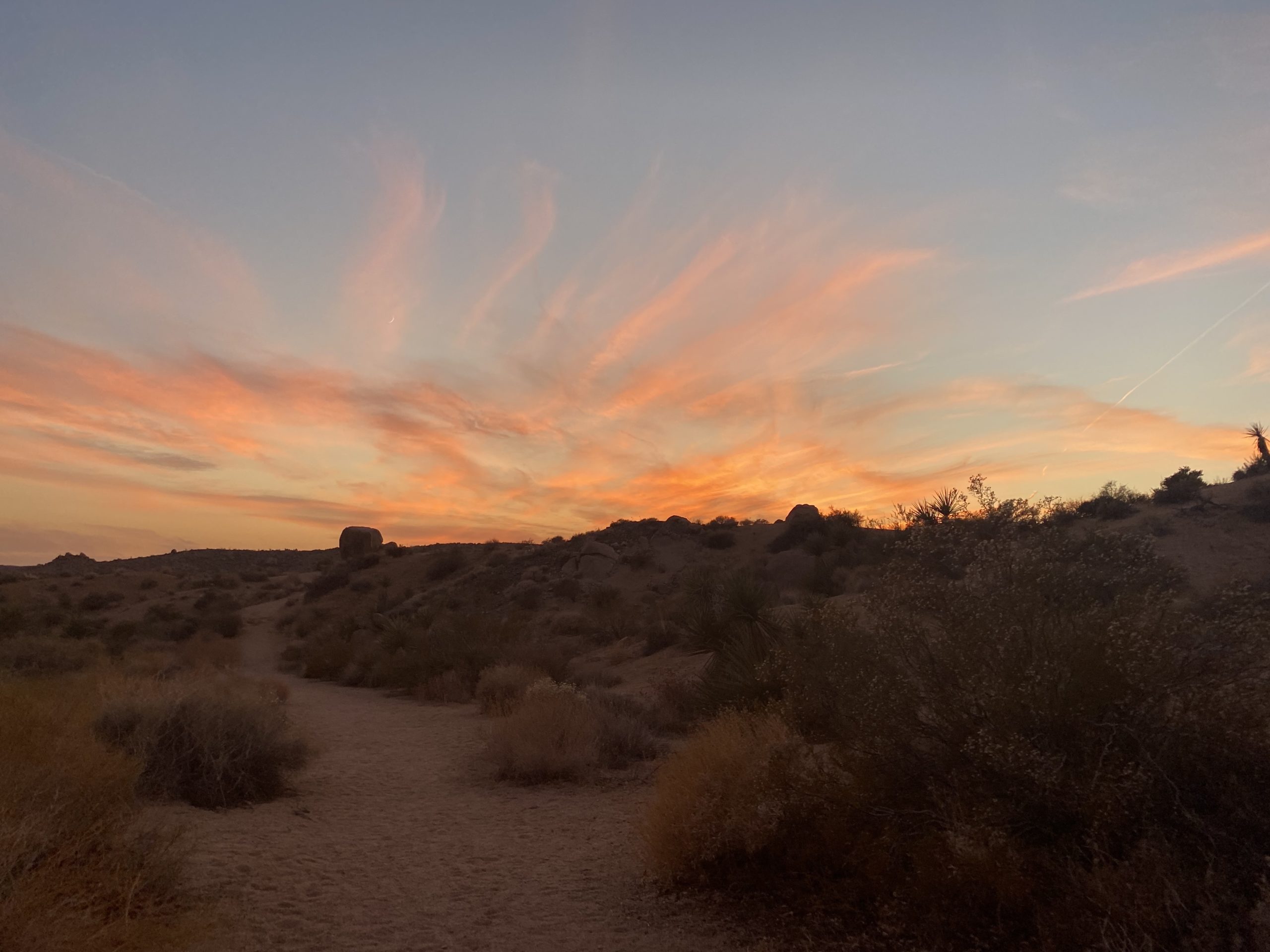
While I cruised along, I debated what my second peak will be. Mount Inspiration was an option. While short, it was a use-trail-only hike. My other option was Ryan Mountain, which would have more traffic. In the end, I decided Ryan Mountain would be the smart choice. Soon the road came into view as well as the parking lot. The lot had filled up since I set off. Tossing my gear into the back and enjoying some cold water, I was off for the short drive to the next peak. This hike took me 3 hours to cover the 7 miles with 1,049 feet of gain.
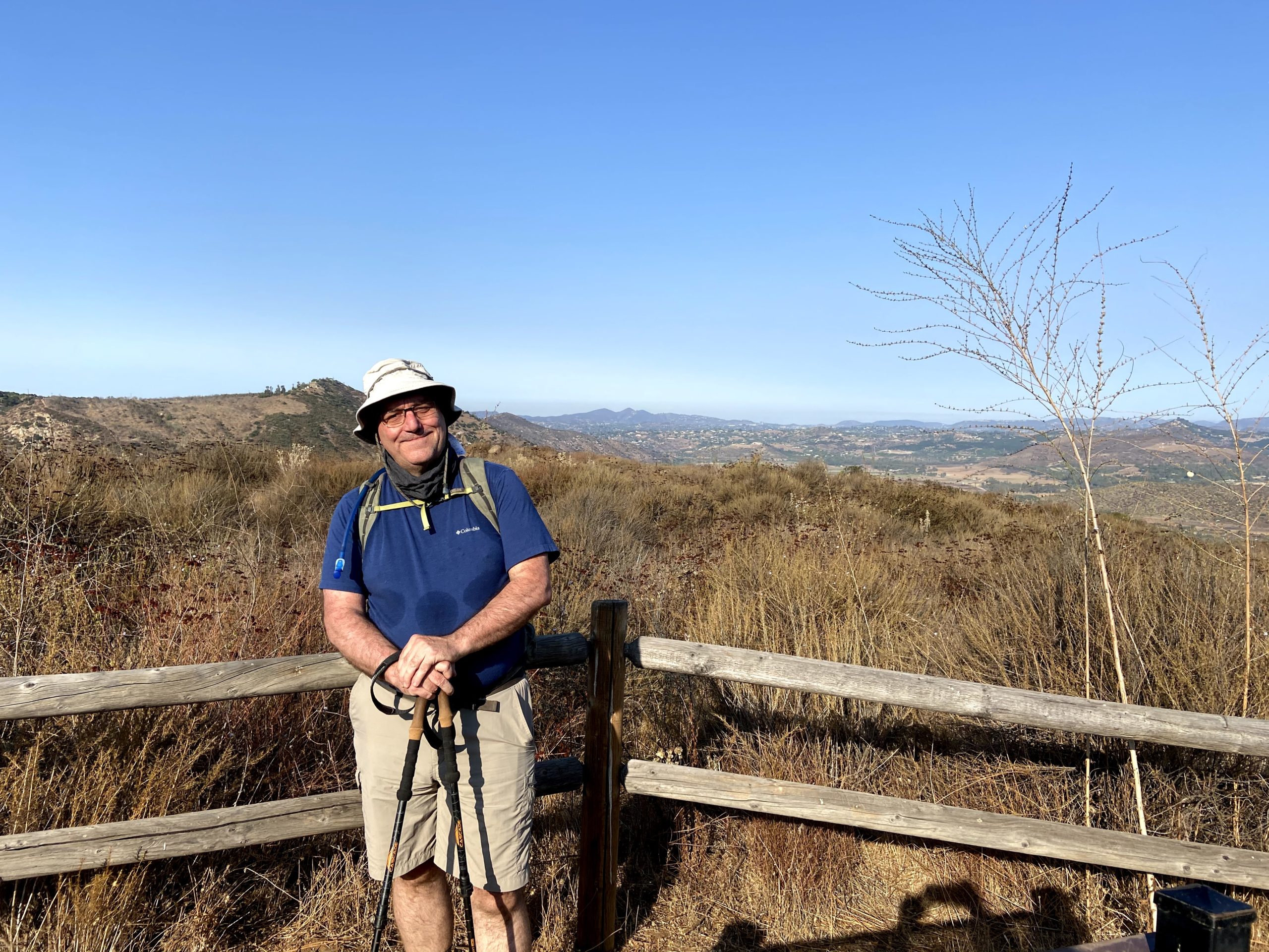
I am an avid peak bagger, sometimes backpacker, and former sea kayaker living in San Diego. I am the co-author of Urban Trails:San Diego, coming in Spring 2026!
In 2019, I became the third person to complete the San Diego 100 Peak Challenge. Not stopping with that accomplishment, I set my sights on the harder San Diego Sierra Club 100 Peak list, which I completed in 2021. In addition, I have conquered several Six-Pack of Peaks challenges (SoCal, San Diego, Central Coast, and both the Arizona-Winter and Arizona-Summer). I am looking forward to exploring new summits and new adventures across the southwest.