Trip Reports

Sunshine Mountain

I initially did not think I was going to get any peaks this weekend, as my son is about to head to Israel for 10 months on the Nativ College Leadership Program. But, I was able to squeeze in two peaks in the early morning.

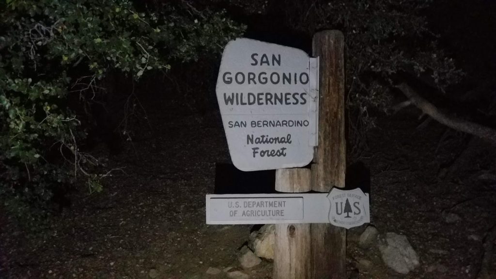
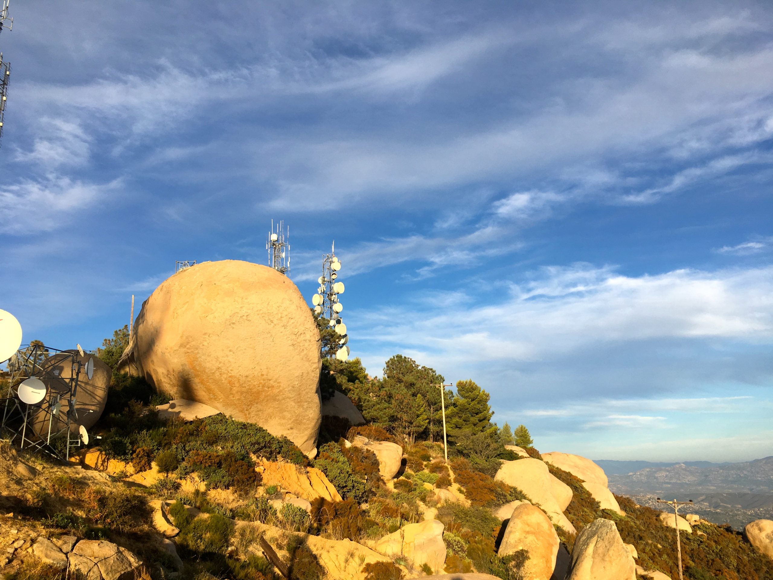
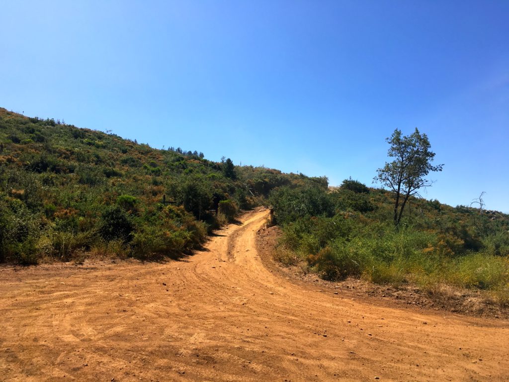
Decided to knock out Sunshine Mountain and Ant Benchmark. I had hoped to do them when I did Eagle Peak, but the heat said no! I reached the trailhead for Three Sisters just before sunrise. To my delight, Cedar Creek Road was open! Woot!! That meant one less mile of hiking! Pulling into the turnout, two cars were parked. I guess it is hunting season… I quietly got ready and headed out.

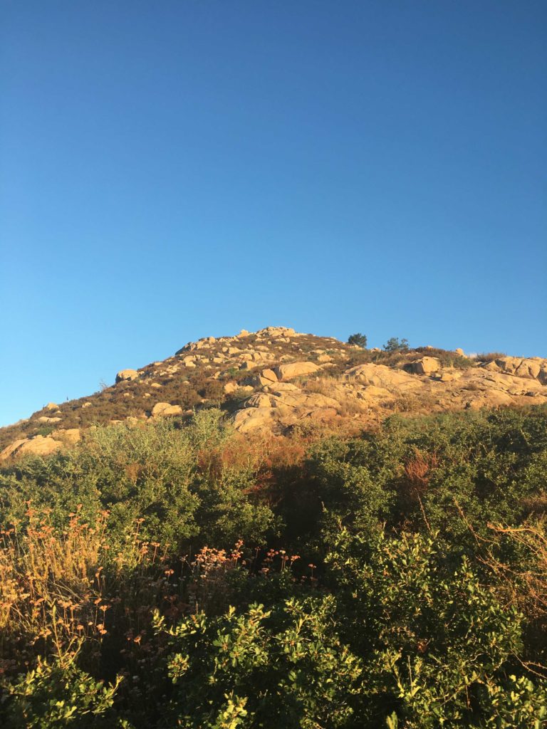
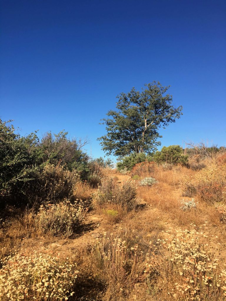
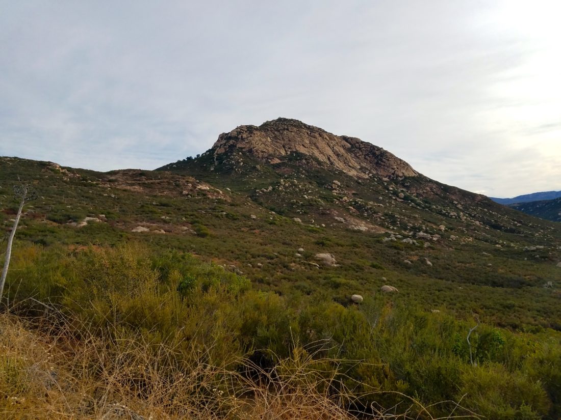
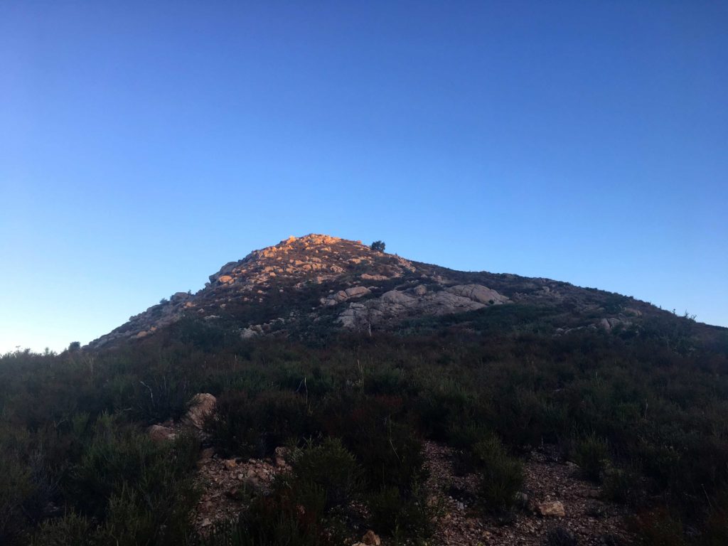
The trail is overgrown, like many of the more obscure ones. I reached the base of the mountain just after it became illuminated by the rising sun. I saw a set of cairns, checking my previous track, I set off up the mountain.

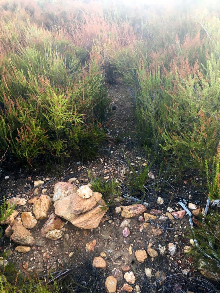
I picked my way through the brush, I lost the cairns for a while, and just relied on my guesses through the brush and rocks. Once I picked the cairns back up the route became easier.

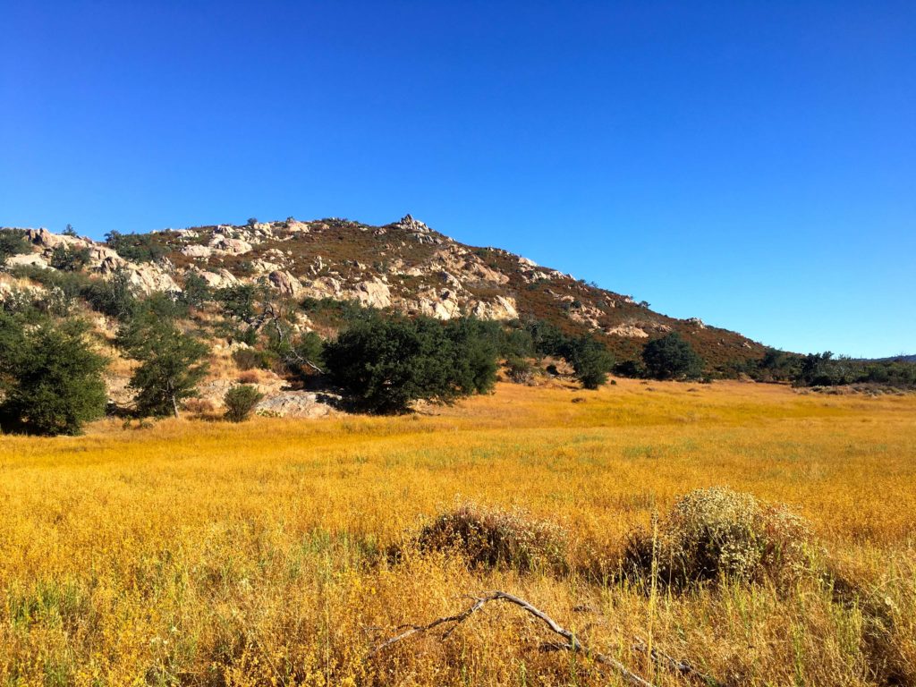
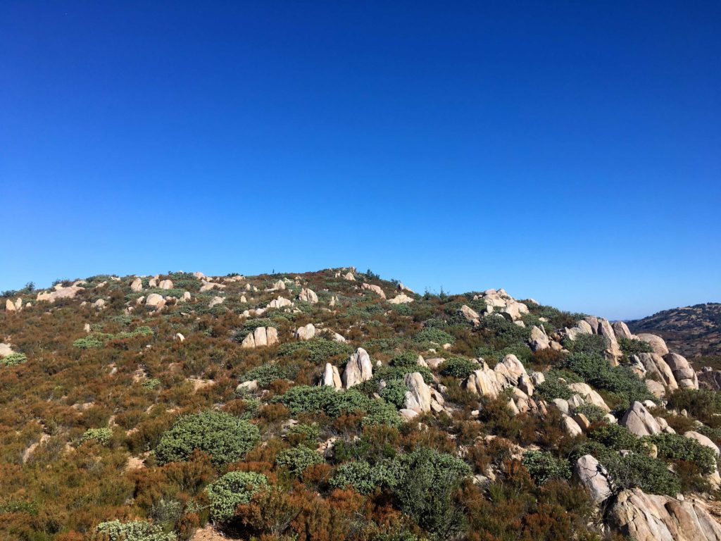
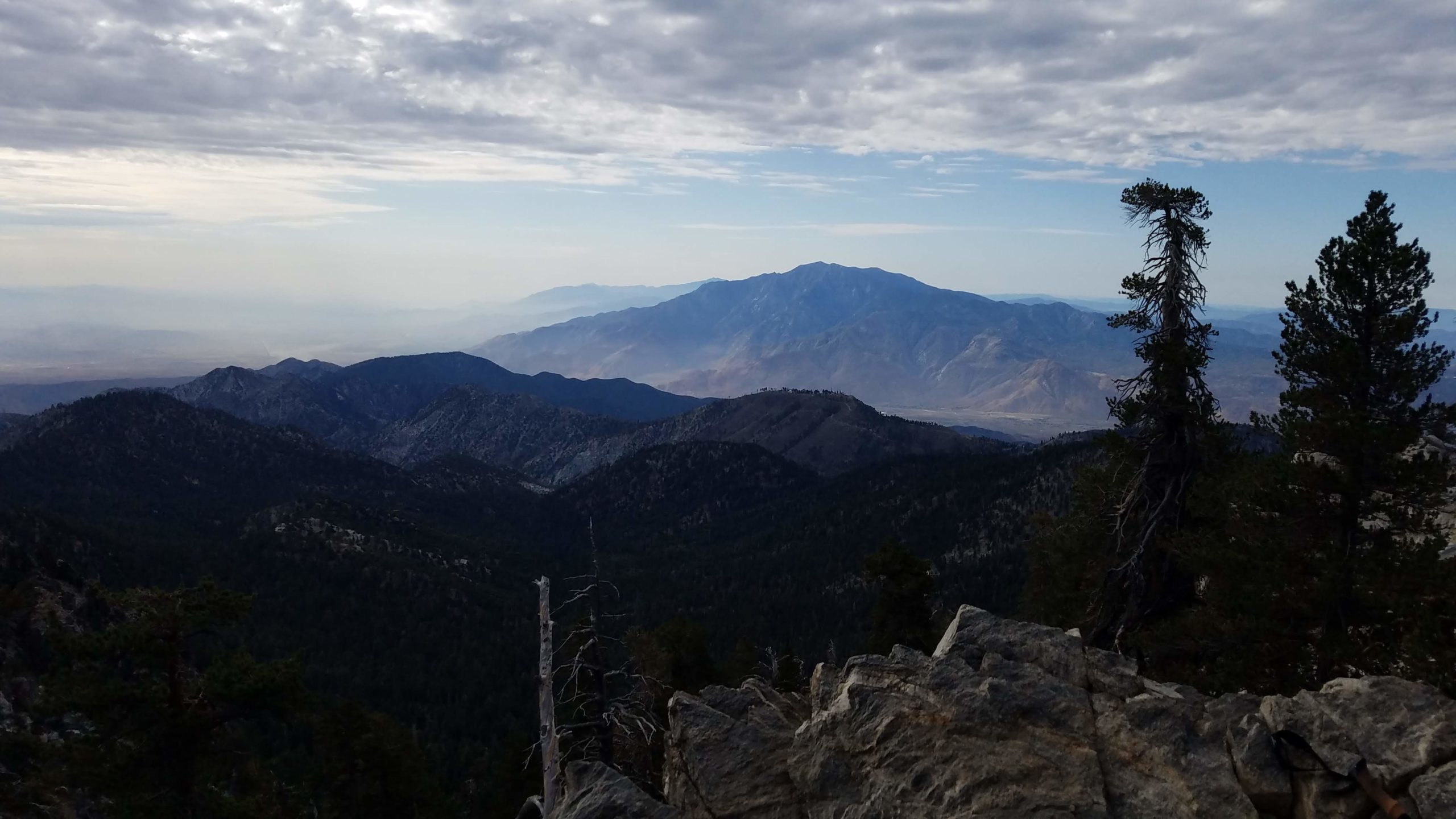
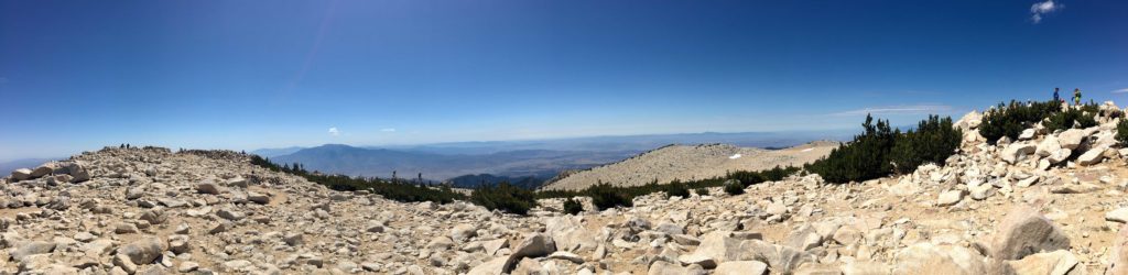
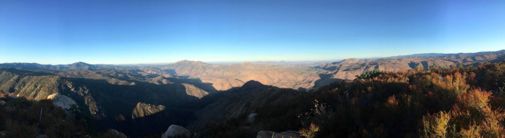
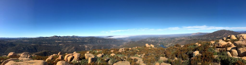
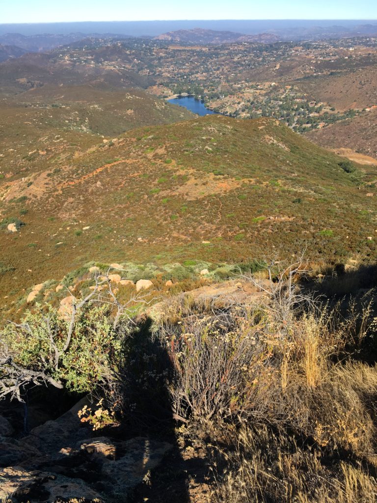
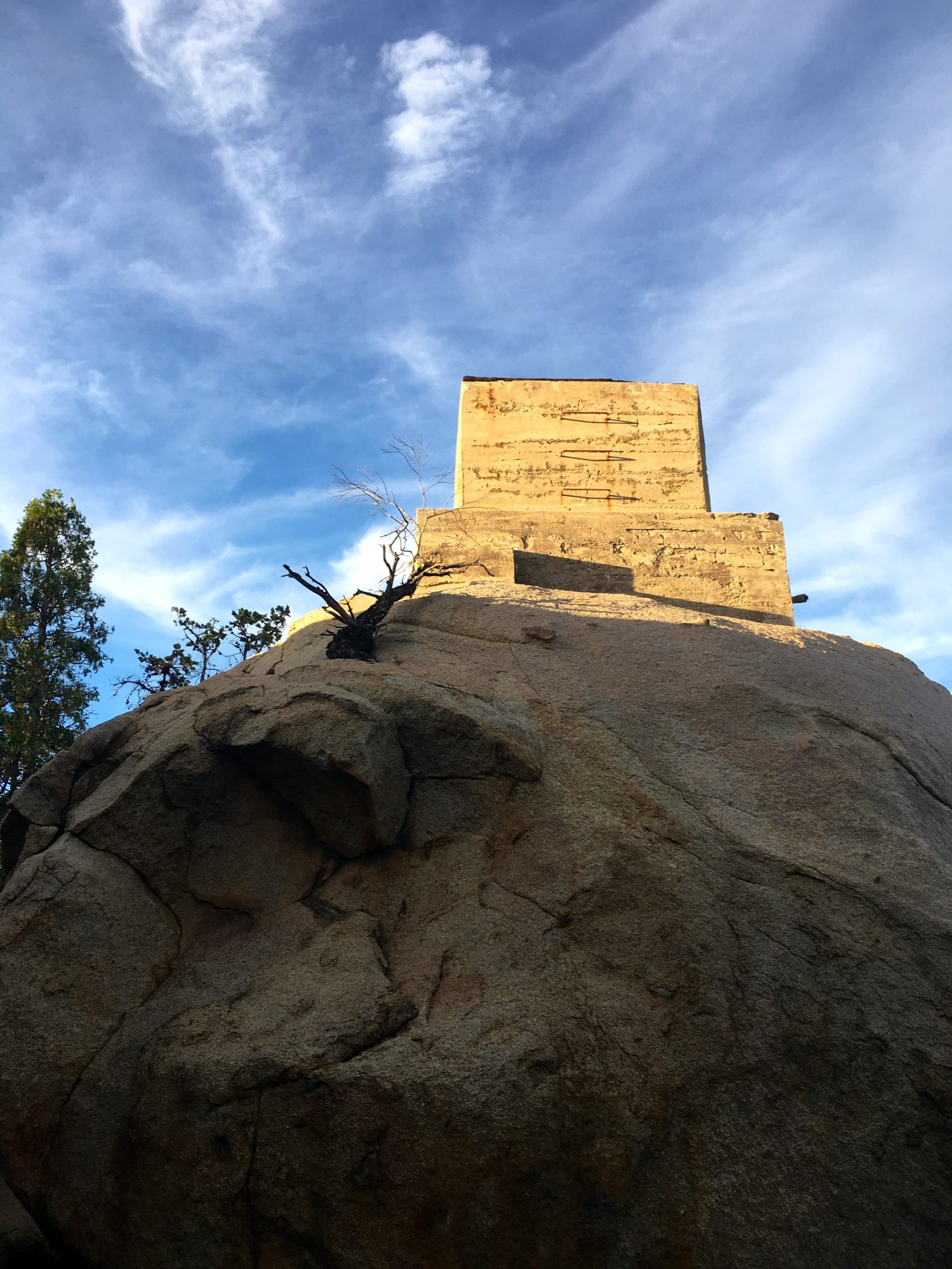
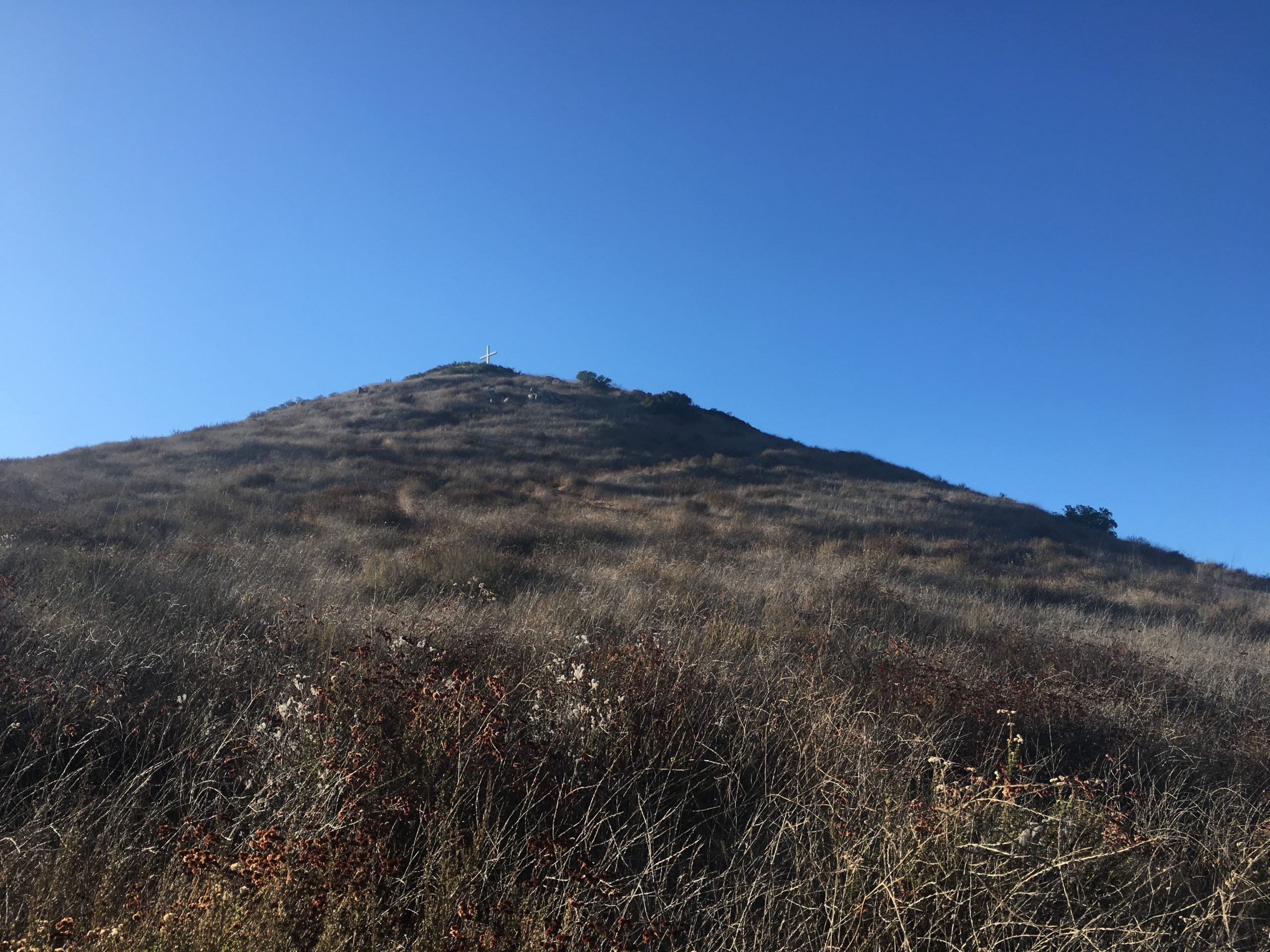
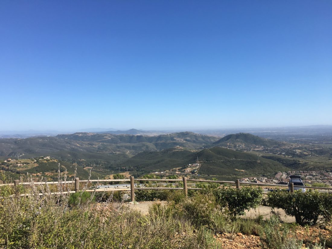
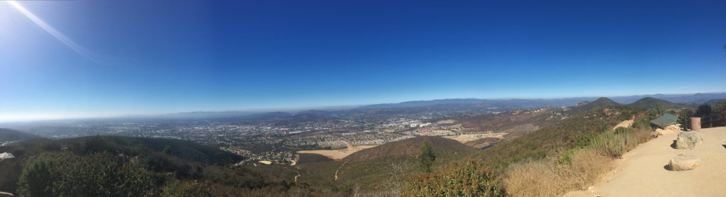
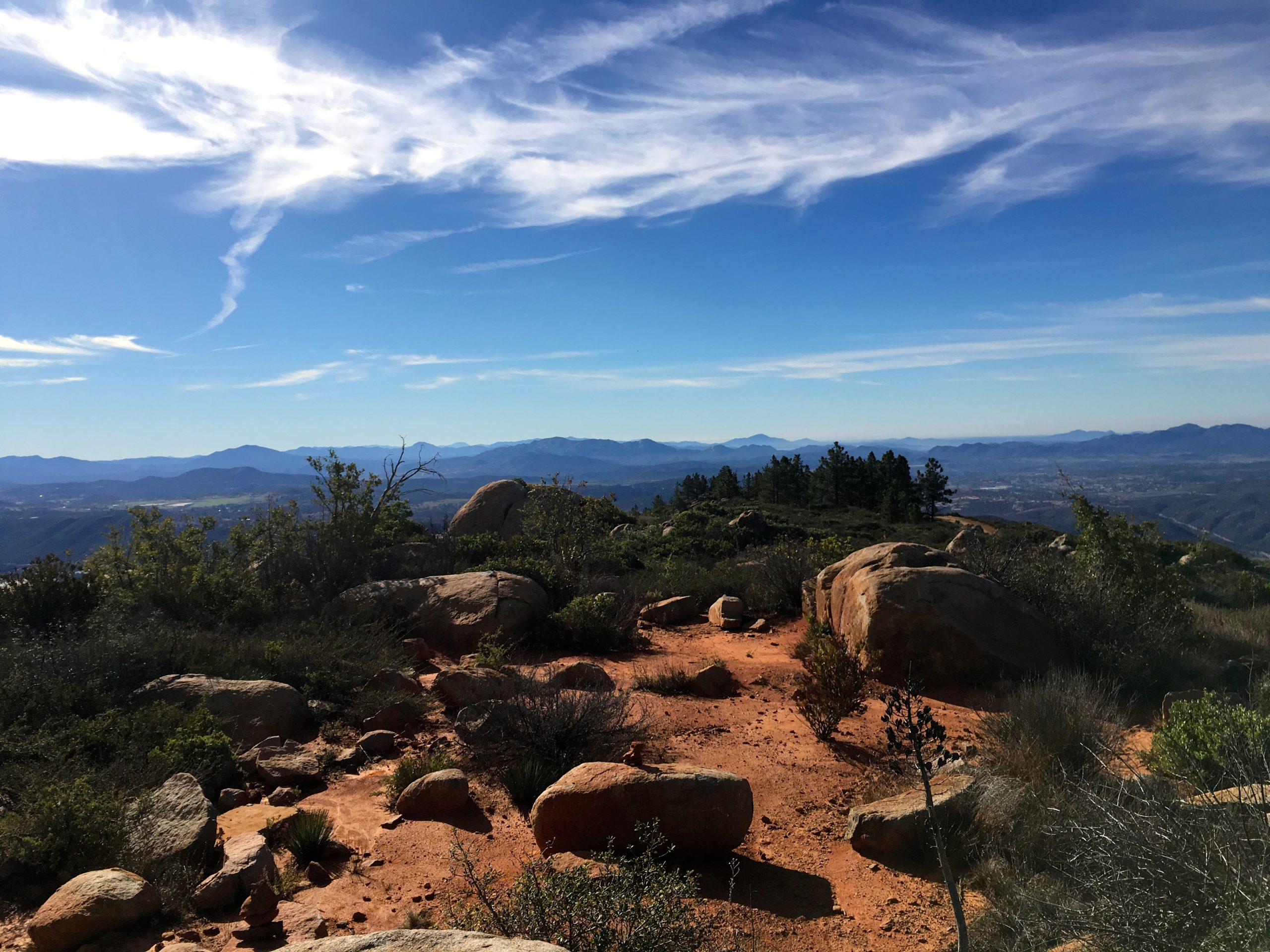
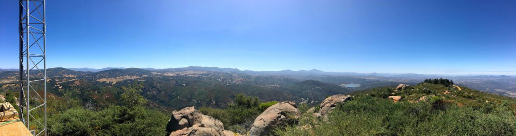
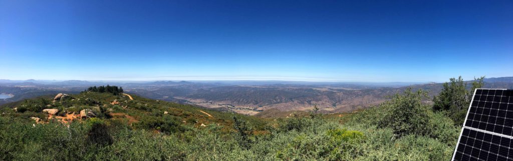
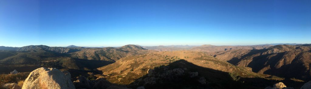
At the summit and took in the view. Eagle Peak was to the southwest of me. There is no benchmark, but I signed the register again. The forecast was that it was going to reach the upper 80s, so I did not want to goof off too long at the summit.

I made my way down without any issues, I found the main trail again without issue. This was the one hiccup we had when I first did the peak. Quickly I was back at the car and off to my next peak. That was peak #59 of my #100PeakChallenge!


Buy Me a Coffee at ko-fi.com

I am an avid peak bagger, sometimes backpacker, and former sea kayaker living in San Diego. I am the co-author of Urban Trails:San Diego, coming in Spring 2026!

In 2019, I became the third person to complete the San Diego 100 Peak Challenge. Not stopping with that accomplishment, I set my sights on the harder San Diego Sierra Club 100 Peak list, which I completed in 2021. In addition, I have conquered several Six-Pack of Peaks challenges (SoCal, San Diego, Central Coast, and both the Arizona-Winter and Arizona-Summer). I am looking forward to exploring new summits and new adventures across the southwest. 

Ant Benchmark

The second peak, Ant Benchmark, was just a short drive north from the Three Sisters trailhead. I pulled into the turnout just before the boundary of the Inaja Indian Reservation. I grabbed my gear and headed back down Boulder Creek Road.

The trail was in the same shape as Sunshine Mountain, passable but with a lot of growth. After about .5 miles, the descent ends, and I head out across the golden meadow.

From there I began working my way up the summit. I remembered the actual summit was set back, so I knew I had more climbing than what I initially saw.

I never found a real path up. Mostly I tried to use the rocks and stay to the northeast side. Apart from the initial effort to bushwhack on to the slope, it went fairly well.

IMG_5504

Once at the true summit, I sat and flipped through the register, recognizing many fellow peak baggers.

There were three marks on the summit as well. It was getting warm, so made my way back down the mountain.

So I was crossing back across the meadow and back up the old Jeep road. That was my 60th peak of my 100 Peak Challenge!


Buy Me a Coffee at ko-fi.com

I am an avid peak bagger, sometimes backpacker, and former sea kayaker living in San Diego. I am the co-author of Urban Trails:San Diego, coming in Spring 2026!

In 2019, I became the third person to complete the San Diego 100 Peak Challenge. Not stopping with that accomplishment, I set my sights on the harder San Diego Sierra Club 100 Peak list, which I completed in 2021. In addition, I have conquered several Six-Pack of Peaks challenges (SoCal, San Diego, Central Coast, and both the Arizona-Winter and Arizona-Summer). I am looking forward to exploring new summits and new adventures across the southwest. 

San Gorgonio (via Vivian Creek)

San Gorgonio, “Old Greyback”, the highest peak in Southern California at 11,503 feet. That was our goal for the day. Ted Markus and I reached the Vivian Creek trailhead at 4 am. Donning our headlamps, we set off along the service road next to Mill Creek. After about a half-mile, we crossed the dry creek and onto the trail. The next mile or so was a steep climb. Thankfully in the darkness, we could only see right in front of us. Later during our return, we realized the steepness of the section. I had read the trail guides, and they weren’t kidding.

The trail followed Vivian Creek for a spell. So far we were both feeling good. The sun began to finally rise over the mountains, revealing the beauty of the area. A warm glow shone on Mt. Baldy to the west. We encountered a few other hikers along the trail.

As we approached the switchbacks, the elevation was starting to get to me some, but we kept pushing upward. After about 7 miles and at 10,000 feet, I was really starting to question if I could summit. With Ted’s encouragement, I continued on.

Once we broke the tree line, I found my second wind. Also, the summit was also in view. The traverse went fairly smooth and soon we were atop San Gorgonio!!

Unlike San Jacinto, the summit sign was still there. Ted and I recreated “Bill and Ted’s Excellent Adventure“ pose since we had just completed the A16 3 Peak Challenge!! I would say about 40 or so others were also there on the summit, include several other 3-Peakers. In fact, there was one hiker who was attempting the 1-day version of the challenge!

Looking northward
Looking south, San Jacinto stand across the divide
Looking southwest

After a break and photos, we began our descent. A sense of accomplishment filled me as we began our 9.5 miles back to the car. I knew the summit took a bit longer than planned, but I did it! Now the question was, will Ted hurt himself on the descent? On Mt. Baldy he hurt his wrist. On San Jacinto, he twisted his ankle. Sure enough, he slightly twisted his ankle again. Not as bad as last time, but enough. That was ok, as my knee began to ache. We kept cruising carefully down the mountain. The day was warming up, but we had plenty of fluids. I did opt to filter some water at the first crossing of Vivian Creek, in part since it was nice and cool. It also served as a nice break to let my knee and feet have a rest.

A Search and Rescue helicopter flew overhead. We were unable to understand what they were broadcasting. It appears the heat did get to someone. We never found out what actually happened.

Soon, we were closing in on the end of the journey, and we slowly made our way down that steep section. Back at the car, we peeled off our boots and changed in something less disgusting. We swung by the University of Redlands to drop off a few things for my daughter. Then some food and nice flight from Hanger24 before the drive home. Now back to the 100 Peak Challenge!


Buy Me a Coffee at ko-fi.com

I am an avid peak bagger, sometimes backpacker, and former sea kayaker living in San Diego. I am the co-author of Urban Trails:San Diego, coming in Spring 2026!

In 2019, I became the third person to complete the San Diego 100 Peak Challenge. Not stopping with that accomplishment, I set my sights on the harder San Diego Sierra Club 100 Peak list, which I completed in 2021. In addition, I have conquered several Six-Pack of Peaks challenges (SoCal, San Diego, Central Coast, and both the Arizona-Winter and Arizona-Summer). I am looking forward to exploring new summits and new adventures across the southwest. 

Sunshine Mountain

I set off down the closed road to the trailhead for peak #2. This was going to add about .5 miles each way. The road seemed fine. When I reached the trailhead, I headed down a very overgrown road. I was glad to have hiked it before and had my route loaded for reference.

Passing by the pond, doves flew out from the brush as I walked by. My energy levels were a bit low, but I decided to push on a bit. As the trail began to climb, I just did not have it in me. So I decided to turn back. The mountain will be there another day.

Partway back, I stopped in the shade and cooled off some. As I returned to the car, I saw a family getting ready to head down to Three Sisters. I cautioned them, about the difficulty and the effects of the heat. I got back into the car, and it read 90° F! That was unexpected, I knew that was the forecast, but at 9:30! No wonder I ran out of gas. I called it a day and headed home.


Buy Me a Coffee at ko-fi.com

I am an avid peak bagger, sometimes backpacker, and former sea kayaker living in San Diego. I am the co-author of Urban Trails:San Diego, coming in Spring 2026!

In 2019, I became the third person to complete the San Diego 100 Peak Challenge. Not stopping with that accomplishment, I set my sights on the harder San Diego Sierra Club 100 Peak list, which I completed in 2021. In addition, I have conquered several Six-Pack of Peaks challenges (SoCal, San Diego, Central Coast, and both the Arizona-Winter and Arizona-Summer). I am looking forward to exploring new summits and new adventures across the southwest. 

Eagle Peak

Kept waffling on what peak I wanted to do. Settled on attempting a three-fer, but with the temperatures, I might be pushing it. I pulled into the parking lot for Three Sisters/Eagle Peak a bit before sunrise. To my surprise, the road down to the trailhead for Sunshine Mountain was closed. That was going to put a wrench in my plans. But one peak at a time…

I headed off down the trail, the air was already warm, and the cooling effects of a marine layer were not there. I held a nice pace as I worked my way out to the peak. The trail was certainly more overgrown than last time. Toward the summit, it took a bit of poking around to find the trail.

I was amazed at the graffiti along the trail, and the trash. Since this is an out-and-back hike, I tried to remember where the empty water bottles were to pick them up on the return. Sadly I left the five Bud Light bottles behind.

The summit was quiet. I found the benchmark and reference mark with no trouble. I did not find the register.

I headed back down the trail. The overgrowth again was an issue near the top. Since the road to the trailhead for Sunshine Mountain was closed, I was looking to see if there was a connecting trail. Caltopo showed one, but as I got near where it was supposed to be, I could find no evidence.

The parking lot had filled up, and I had to wonder if these hikers knew of the difficult and forecasted temperatures as they set off down to Three Sisters. None of them were headed to Eagle Peak…


Buy Me a Coffee at ko-fi.com

I am an avid peak bagger, sometimes backpacker, and former sea kayaker living in San Diego. I am the co-author of Urban Trails:San Diego, coming in Spring 2026!

In 2019, I became the third person to complete the San Diego 100 Peak Challenge. Not stopping with that accomplishment, I set my sights on the harder San Diego Sierra Club 100 Peak list, which I completed in 2021. In addition, I have conquered several Six-Pack of Peaks challenges (SoCal, San Diego, Central Coast, and both the Arizona-Winter and Arizona-Summer). I am looking forward to exploring new summits and new adventures across the southwest. 

Bell Bluff

Today’s summit was Bell Bluff, just south of Alpine. I did this peak back in early January of 2018 with Ted. I wanted to beat the heat, so I set out early, just after sunrise. The rope down to the riverbed is still holding strong. The marine layer hid the summit as I crossed the dry Sweetwater River and onto the single track that led off to the southwest.

I made great time along the trail as it gently worked its way toward the peak. The sun finally broke through as the marine layer began to retreat.

I missed the double cairns which mark the turn-off to the peak, but the detour was just a few minutes. The trail had some overgrowth, but it was still passable. Now the hard work would begin, as the trail would get incredibly steep.

After about a half-mile, I reached the summit again. I signed the register and took my photos. I tended to a hot spot on my heel before heading down. I briefly lost the path a few times but found it after some review of my ascent route.

Looking at my descent

I cruised back down the trail to the car, the day was starting to warm up, so my choice for the early start was a wise one. That was my 57th peak of my 100 Peak Challenge!


Buy Me a Coffee at ko-fi.com

I am an avid peak bagger, sometimes backpacker, and former sea kayaker living in San Diego. I am the co-author of Urban Trails:San Diego, coming in Spring 2026!

In 2019, I became the third person to complete the San Diego 100 Peak Challenge. Not stopping with that accomplishment, I set my sights on the harder San Diego Sierra Club 100 Peak list, which I completed in 2021. In addition, I have conquered several Six-Pack of Peaks challenges (SoCal, San Diego, Central Coast, and both the Arizona-Winter and Arizona-Summer). I am looking forward to exploring new summits and new adventures across the southwest. 

Woodson Mountain (via Ramona)

Since I had a family obligation in the morning, I decided to summit Mt. Woodson to catch the sunset. I had been trying out some new hiking shoes from Oboz and had been experiencing burning pain in one ankle. I tried two different sizes and no change. So I decided to switch back to my Merrill’s to see if it was truly the shoes or something else. Unfortunately, I took a closer look at them and a Viking funeral might be in order. So I high-tailed to REI and bought some replacements. I tossed them on and drove out to the trailhead off the 67.

I actually have never done Woodson from this side, as I like the trail up from Poway. The route up follows the service road to the summit. It is short but steep. I really wanted to see how the shoes felt, and I hustled up. I happily held about a 23-minute mile.

Upon reaching the towers, I went looking for the benchmark. I found the rock, but there was no way I was scrambling up it solo.

The sunset was still about 20 minutes away, so I decided to check out the Potato Chip. There was a small crowd and was able to get my photo on it again. But once the sun started to go down, I got some great photos.

I made my back down the road, passing quite a few folks heading up. Toward the end, I did break out my headlamp. Soon I was back at the car and happy that it appears that it was the shoes. That was peak #56 of my 100 Peak Challenge!


Buy Me a Coffee at ko-fi.com

I am an avid peak bagger, sometimes backpacker, and former sea kayaker living in San Diego. I am the co-author of Urban Trails:San Diego, coming in Spring 2026!

In 2019, I became the third person to complete the San Diego 100 Peak Challenge. Not stopping with that accomplishment, I set my sights on the harder San Diego Sierra Club 100 Peak list, which I completed in 2021. In addition, I have conquered several Six-Pack of Peaks challenges (SoCal, San Diego, Central Coast, and both the Arizona-Winter and Arizona-Summer). I am looking forward to exploring new summits and new adventures across the southwest. 

Battle Mountain

Since I had my hiking gear on from summiting Double Peak and I was driving right by this peak, I decided to make a quick stop and knock it out.

The trail starts between two houses at the end of a cul-de-sac. The trail is a steep one, so you will get a nice workout as you make your way up to the top.

I snapped a few photos and then headed back down the trail.


Buy Me a Coffee at ko-fi.com

I am an avid peak bagger, sometimes backpacker, and former sea kayaker living in San Diego. I am the co-author of Urban Trails:San Diego, coming in Spring 2026!

In 2019, I became the third person to complete the San Diego 100 Peak Challenge. Not stopping with that accomplishment, I set my sights on the harder San Diego Sierra Club 100 Peak list, which I completed in 2021. In addition, I have conquered several Six-Pack of Peaks challenges (SoCal, San Diego, Central Coast, and both the Arizona-Winter and Arizona-Summer). I am looking forward to exploring new summits and new adventures across the southwest. 

Double Peak (via Ridgeline Trail)

For summiting this peak again, I opted to use the Ridgeline trail. This trailhead is just to the east along San Elijo Road. From a nice parking lot, I headed along the well-maintained trail.

After about .6 miles, I turned off the main trail and onto the single track for the rocky steep push to the top. This was the route I used down on my previous trip.

Once at the summit, I snapped a few photos and headed back down. I loved the steep trail warning.

This was my 54th peak of the 100 Peak Challenge Reboot.


Buy Me a Coffee at ko-fi.com

I am an avid peak bagger, sometimes backpacker, and former sea kayaker living in San Diego. I am the co-author of Urban Trails:San Diego, coming in Spring 2026!

In 2019, I became the third person to complete the San Diego 100 Peak Challenge. Not stopping with that accomplishment, I set my sights on the harder San Diego Sierra Club 100 Peak list, which I completed in 2021. In addition, I have conquered several Six-Pack of Peaks challenges (SoCal, San Diego, Central Coast, and both the Arizona-Winter and Arizona-Summer). I am looking forward to exploring new summits and new adventures across the southwest. 

Big Black Mountain

With an early morning scheduled for Monday (6:15 am flight to Seattle), I did not want to summit anything too long. I considered Viejas Mountain, or maybe Oakzinta, but end the I thought doing Big Black Mountain might be the best option. 

Like last time I planned to drive up partway. I really am not a fan of hiking on active roads. As I made my way up the road, I passed several Jeeps parked about to also make the drive up. At the turnout, I used last time, another truck was parked. I chatted for a bit, passing along what I remembered of the road. They headed up the road and I took a quick stroll to a nice overview. I got back into the Outback and began the drive to the next turnout. The road took some care while driving, but all those years driving on the forest roads near my folk’s cabin paid off.

Once at the turnout, I parked and got ready to begin the hike. The jeeps from earlier caught up with me. I chatted with the last one a bit. He drove off and I began hiking.

At the summit, it looked like a car lot. I could have driven the Subaru to the top but wanted to make a bit of hike out of it. I followed the use trail up to the actual summit. The views were outstanding.

I found the broken bits of the marker before heading down.

A father and son had joined me near the summit. I pointed out some of the peaks in the distance. It was kinda neat to look at them and know I had stood atop of them. I quickly made my way back to the car and began the careful drive down to the valley floor.


Buy Me a Coffee at ko-fi.com

I am an avid peak bagger, sometimes backpacker, and former sea kayaker living in San Diego. I am the co-author of Urban Trails:San Diego, coming in Spring 2026!

In 2019, I became the third person to complete the San Diego 100 Peak Challenge. Not stopping with that accomplishment, I set my sights on the harder San Diego Sierra Club 100 Peak list, which I completed in 2021. In addition, I have conquered several Six-Pack of Peaks challenges (SoCal, San Diego, Central Coast, and both the Arizona-Winter and Arizona-Summer). I am looking forward to exploring new summits and new adventures across the southwest.