After spending the night at Mt. Pinos campground, I set off to hike up Tecuya Mountain (#110), which is on the Sierra Club Hundred Peak Section list. Yes, I am also slowly working on another peak list. There are a couple of routes to the summit, and I opted for the easiest. My legs were feeling the 14 miles from the day before. I turned onto Forest Road 9N21 and began driving the fairly well-groomed dirt road. I stopped briefly to move two modest-sized rocks out of the way, as they had tumbled from the hillside. Apart from a couple of minor ruts, the road was in fine form which I suspect is from the logging that is occurring toward the top. A fire occurred here not too long ago, and loggers were removing the dead trees for lumber. The firewood I used last night, I suspect, was from here, as some pieces had some char about them. I had a track from Keith Winston, and he marked the spot where he parked before setting off. The road seemed to be better than what he wrote, so I drove on to his second waypoint. Along the way, I spotted a small herd of deer, including several bucks. They stared at me for a bit before bounding off. I reached the second turnout and, looking at the very steep climb the road took, I knew that this was as far as my Outback was going to go.


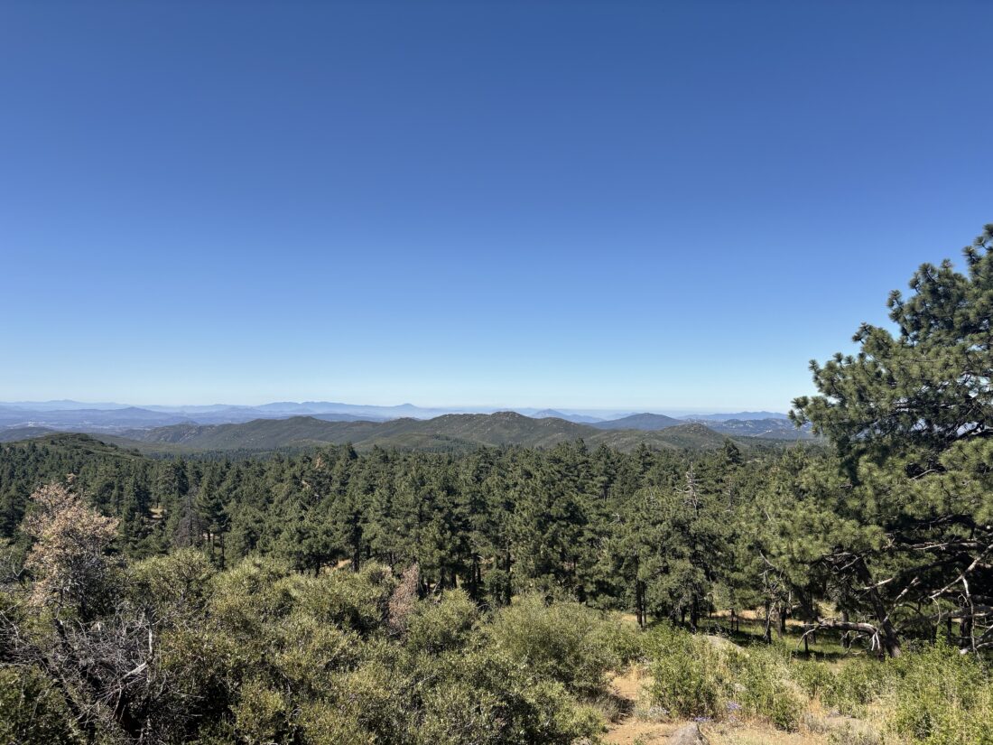
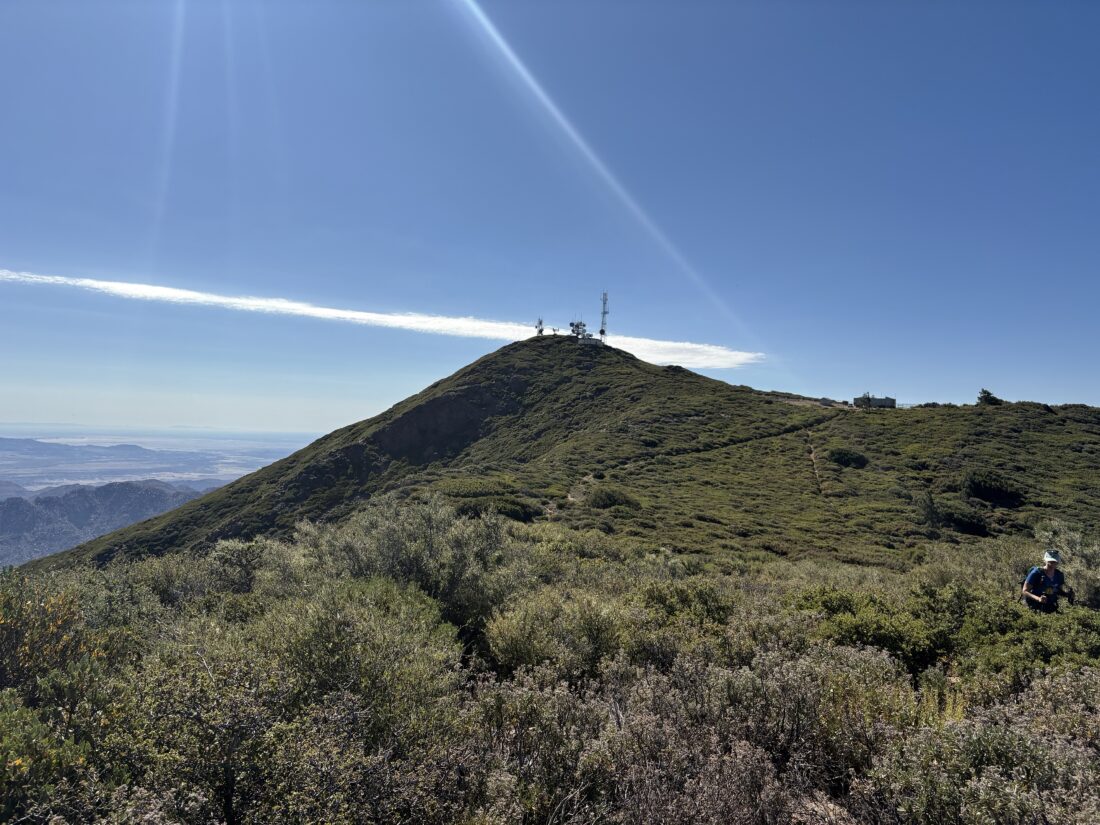
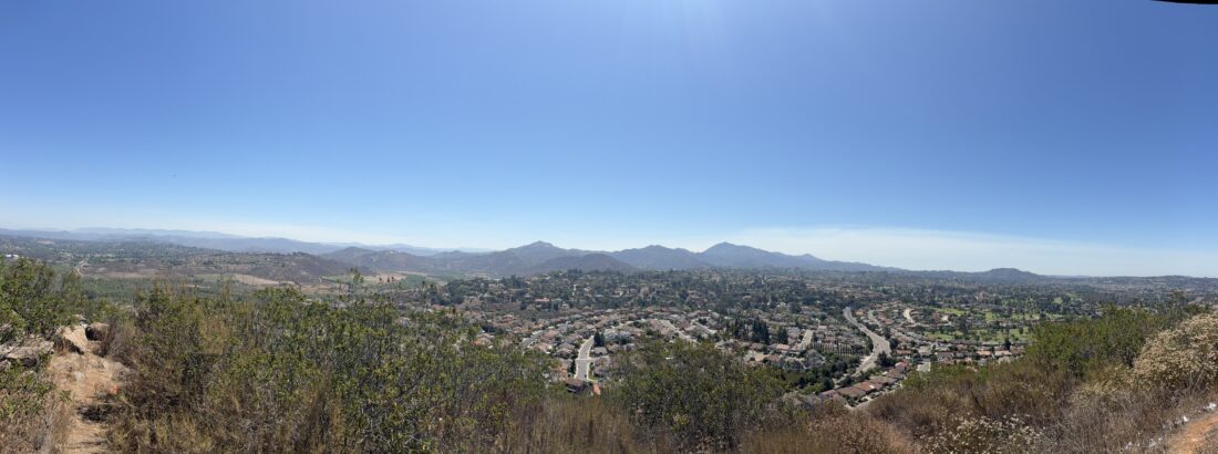
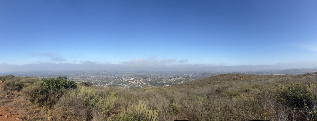
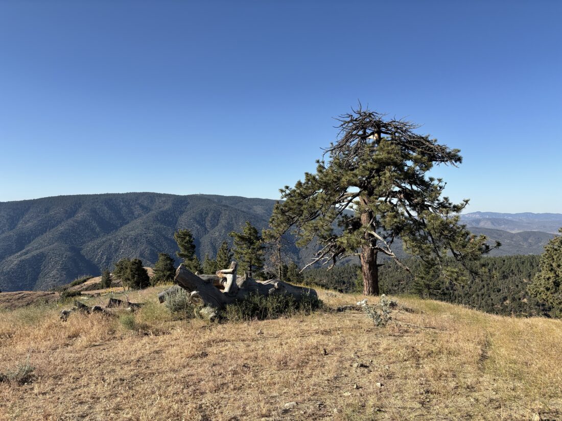
I parked under some shade, grabbed my gear, and started up the road. Pictures don’t do it justice as to how steep that road became. Caltopo says it was 30+%, and my calves believed it. Thankfully, the grade eased, and I hiked through some nice forest, with views of the mountains peeking through. The road dipped down to a small saddle before making another steep climb. Once over it, I took the short spur to the actual summit where I had some nice views. Off to the southeast, I could see the I-5. I did not find any markers, so I began my return. I picked up a glass bottle that had been tossed aside and made another short side jaunt to another viewpoint. This one offered views northward and of the Central Valley. After carefully descending those steep sections, I was back at my car and ready for the long drive home. I spotted two more deer on the way out, but could not get a photo in time. Thankfully, the drive home was just about three hours, not bad for the day before a holiday weekend. The hike covered 1.39 miles and had a healthy 480 feet of gain, which I did in 38 minutes.


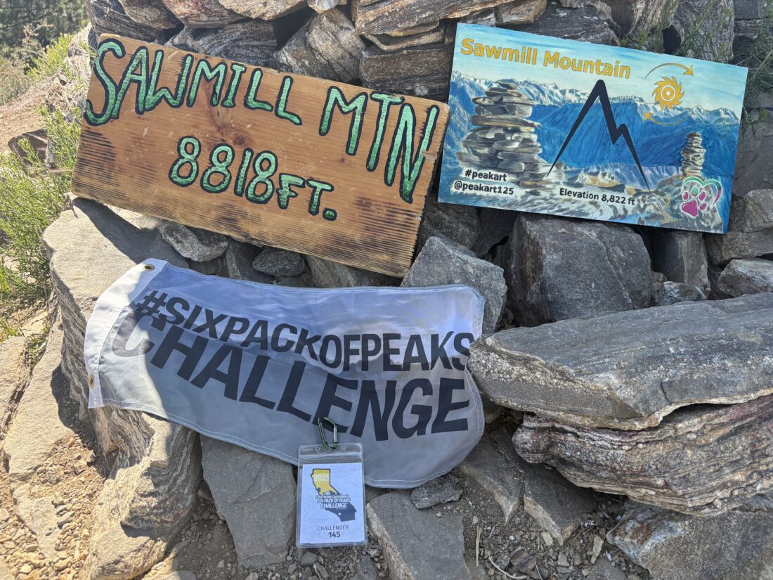
I am an avid peak bagger, sometimes backpacker, and former sea kayaker living in San Diego. I am the co-author of Urban Trails: San Diego, available now!
In 2019, I became the third person to complete the San Diego 100 Peak Challenge. Not stopping with that accomplishment, I set my sights on the harder San Diego Sierra Club 100 Peak list, which I completed in 2021. In addition, I have conquered several Six-Pack of Peaks challenges (SoCal, San Diego, Central Coast, and both the Arizona-Winter and Arizona-Summer).
I am looking forward to exploring new summits and new adventures across the southwest.