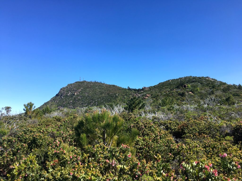
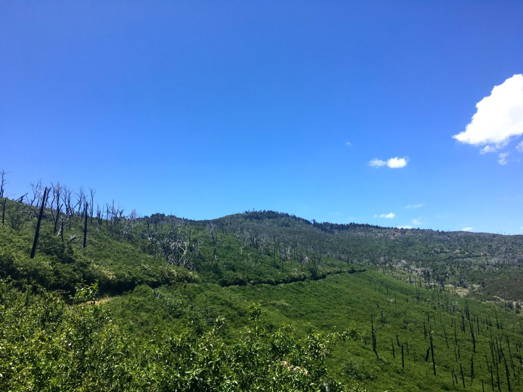
I wanted to do something with some miles in preparation for the rescheduled Climb For Heroes, looking at my list of remaining hikes for the 100 Peak Challenge Reboot, and thought about connecting several of the peaks in the Cuyamacas. The recent rains had extended the wildflowers, so it seemed like a perfect plan. The goal was to summit Airplane Ridge, then up to Japacha Peak, then Cuyamaca, and hit Arrowmaker Ridge on the return. All told about 14 miles of hiking were planned for the day.


I wanted to start this attempt from the Green Valley Campground, but it is currently closed. Instead, I started at the Sweetwater Parking area. Crossing over the flowing water, I began working my way along the Monument Trail toward the first peak of the day, Airplane Ridge. The grade of the trail made the ascent very pleasant. The big peaks loomed ahead of me. So much so, that I missed hopping off the trail to summit Airplane Ridge. Doh! So I backtracked and tried approaching it from the north. I got close, but not directly at the high point. The bush was too thick. If had done some recon with some satellite imagery, I should have continued backtracking further and would have had a clear path, like a remembered from the first ascent from the south. Looking back at my pictures, I even took a photo of where I should have gone.


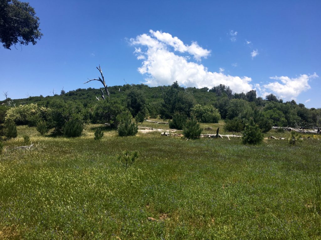
After hopping back on the trail, I began climbing my way up toward Japacha peak. The flowers along the meadow were stunning. Soon I found myself weaving my way through the remaining pine trees on the mountain. The crunch of the needles under my boots was music to my ears.


When I ‘summited’ Japacha Peak the first time I only got partially there, as my hiking partner was in shorts and had to turn back. Not a problem this time, as I scouted a sort of path through the brush to the peak. While there is no benchmark, there is a register. The June Gloom was in full force, but it made for a dramatic scene to the west.


After signing in, and a short rest, I picked my way back through the brush and back on the trail. Cuyamaca towered over me as a continued climbing. The Burnt Pine trail ends at the main road to the summit of Cuyamaca. This was going to be my least favorite portion of this loop, as it is mostly steep and paved.

I finally encountered my first other hikers of the day along the road. At the summit, I rested and gazed out across the cloud tops covering much of my view. I had the summit all to myself.


I began to work my way down the road to the Fern Fire Road. I began to encounter more hikers making their way to the summit, along with their dogs in tow. I had forgotten how steep the road was, and as such, my pace slowed some. It might also have been the fact I already hiked 8 miles. I began to become concerned about the time, as I needed to be back in town to celebrate a good friend’s 50th birthday. I wondered if I should just head to the road and hitchhike back to the car. In the end, I figured I could make it back to the car without too much delay.

The road gently worked its way down, crossing various springs along the way. Soon I found myself at the base of Arrowmaker Ridge. I was uncertain if I should attempt it. I was going to be cutting it close in time. Although the peak is not that high, it does require some bushwhacking. Since I was fighting the clock, I had not been resting nearly as much as I normally do. I crossed over the meadow to see if an easy route. Alas, nothing appeared, and I was running out of gas and still had a couple of miles still to go. Since both Middle Peak and Stonewall Peak are nearby, I knew I would have an easy opportunity to try again.

My route took me along Japacha Creek. The flowing water was soothing, I wish I had time to dip my feet into the cool waters and rest.


I finally found myself back at my car with plenty of time to make it to the party. All told this hike covered 14.4 miles in 7 hours. The total elevation gain was 2,775 feet. All in all a fantastic day on the trails. That makes 33 summits of the 100 this year.
I am an avid peak bagger, sometimes backpacker, and former sea kayaker living in San Diego. In 2019, I became the third person to complete the San Diego 100 Peak Challenge. Not stopping with that accomplishment, I set my sights on the harder San Diego Sierra Club 100 Peak list, which I completed in 2021. In addition, I have conquered several Six-Pack of Peaks challenges (SoCal, San Diego, Central Coast, and Arizona-Winter). Beyond attempting the San Diego Sierra Club 100 Peak list a second time, I am looking forward to exploring new summits and new adventures across the southwest.


8 thoughts on “Cuyamaca Peak (via West Mesa Trail)”