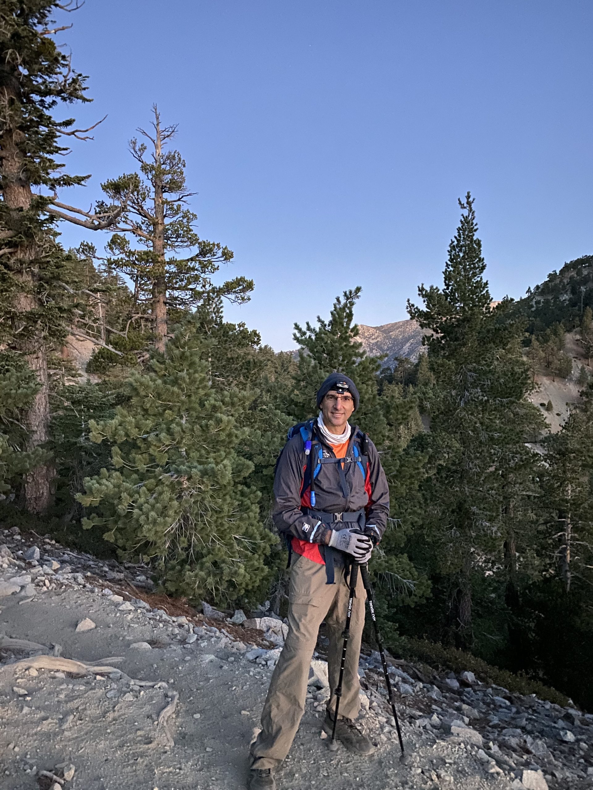
I decided to try to summit two of my remaining Six-Pack of Peaks this weekend. Given that wildfires have closed three of the peaks for at least a year and we were starting to enter into that time of year when the weather can play a factor, I want to try to climb both Cucamonga and Ontario Peaks, since they share the same trailhead. Somehow I convinced Ted Markus to wake up at some ungodly hour and make the two-hour drive to the Icehouse Canyon trailhead. Part of the very early start was to secure parking. Because of the closures, the remaining open peaks are a bit more crowded. A bright full moon shone above as we headed off up the canyon. We had already secured permits for Cucamonga but needed to stop at the self-service kiosk and fill out forms for the initial portion of the hike.


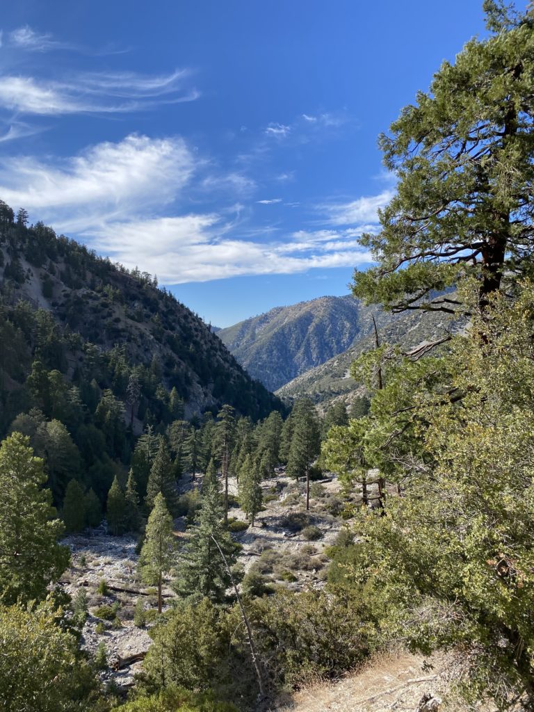
We could hear the creek flowing nearby as we worked our way up the canyon. While the trail is usually pretty well defined, I did get us slightly off course. It turns out I took a path past one of the cabins, which dropped us down below the actual trail. We scrambled up a sandy steep section and were back on track. The rest of the route up to Icehouse Saddle was uneventful. That bright full moon certainly helped. Upon reaching the saddle, we took a short break. After grabbing a quick bite, we set off. Icehouse Saddle is a nexus of several trails, but each is well signed.
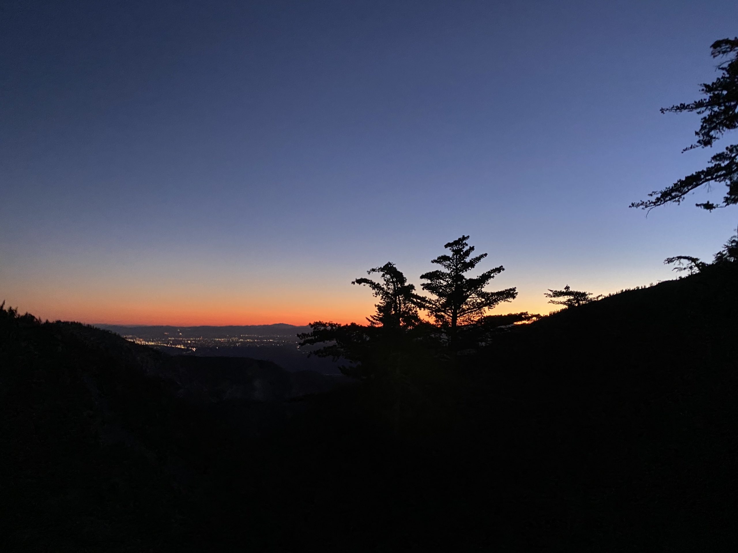
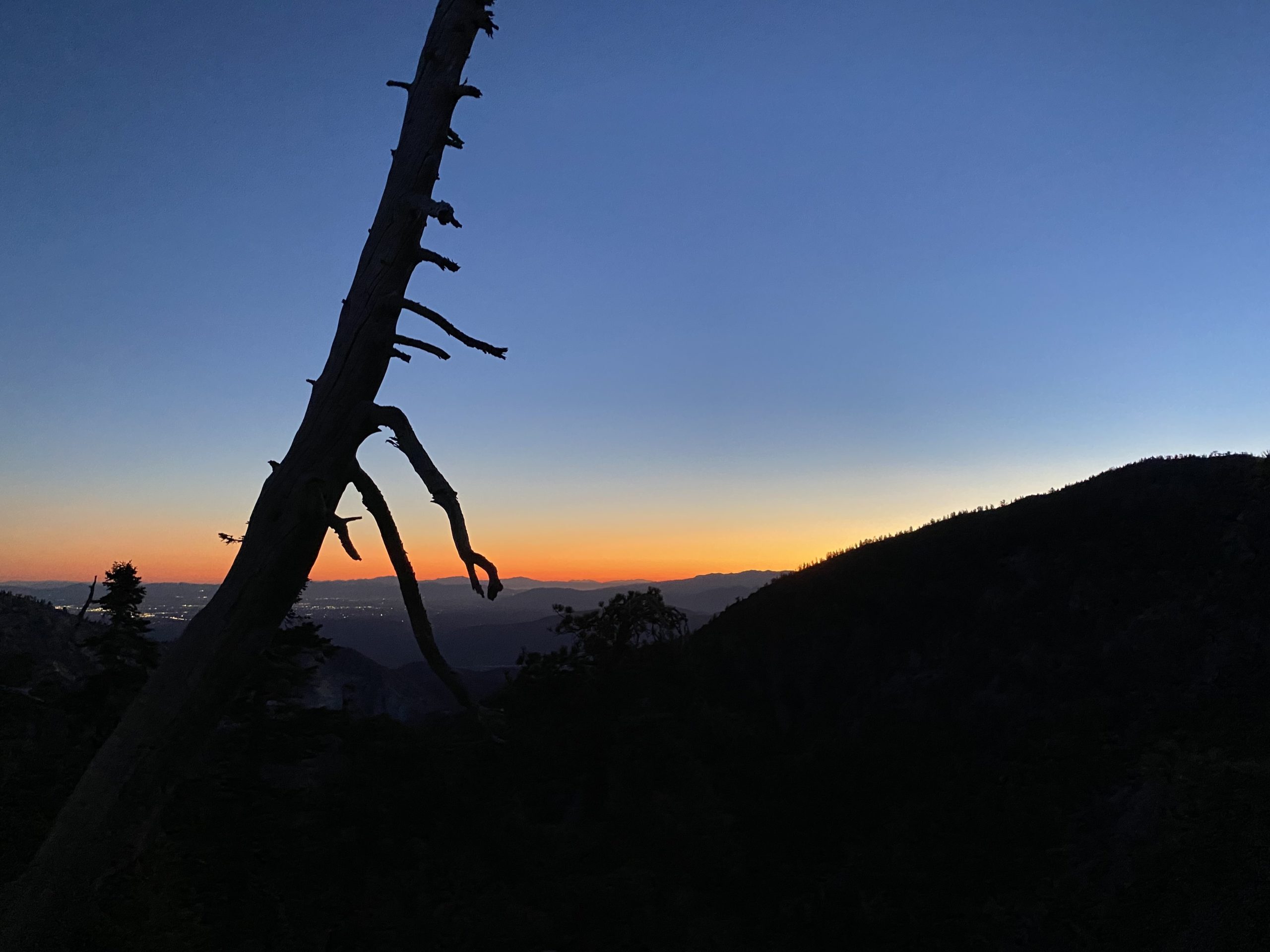
We knew that we were not going to be at the summit for sunrise, but we were greeted with a lovely pre-dawn glow over Apple Valley. After passing the old mine, we reached the saddle between Cucamonga and the ridge up to Bighorn Peak. That ridge was an option as an alternate route to Ontario, but that was a decision for later.
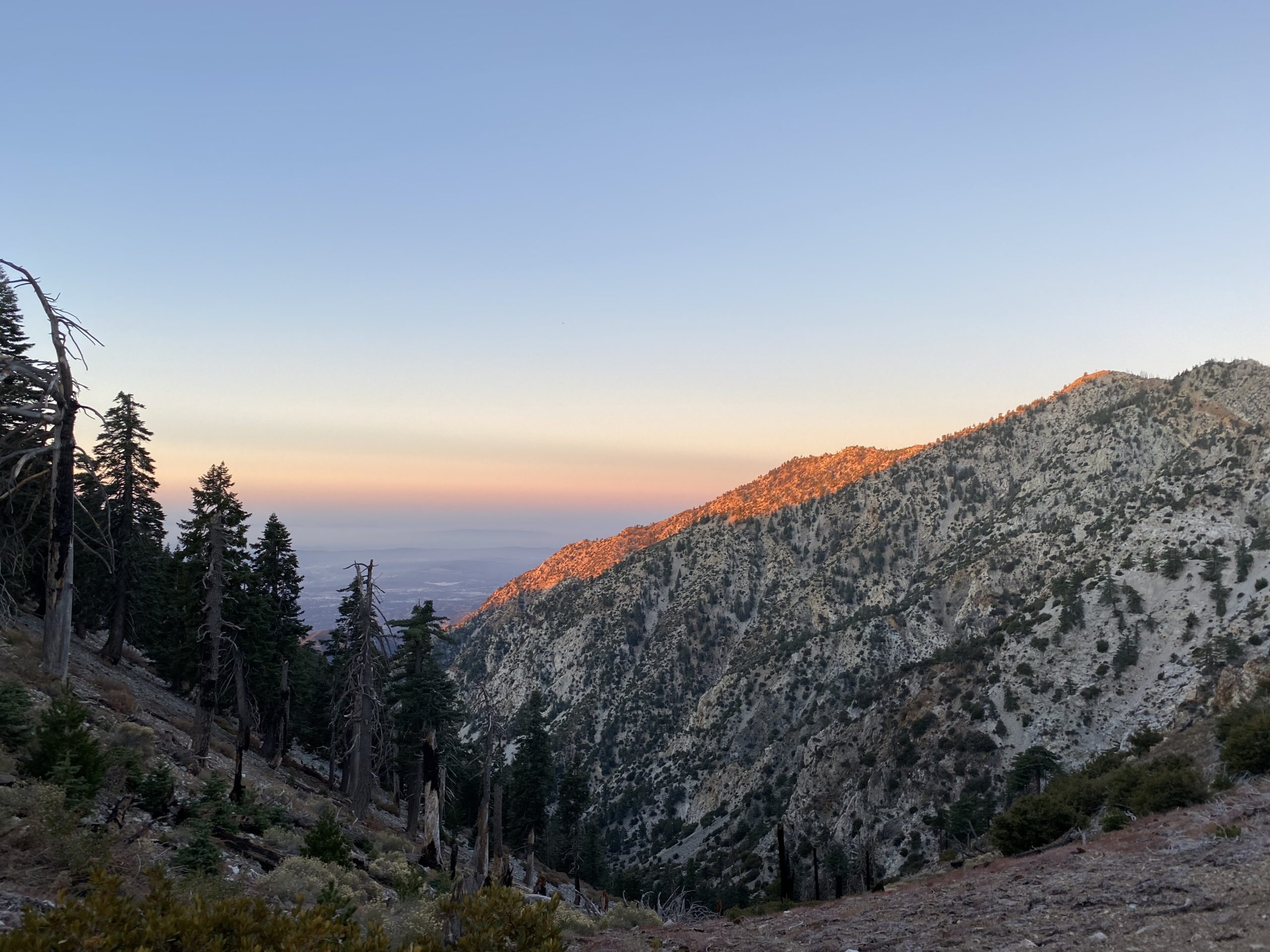
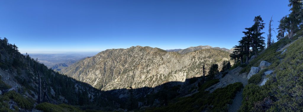
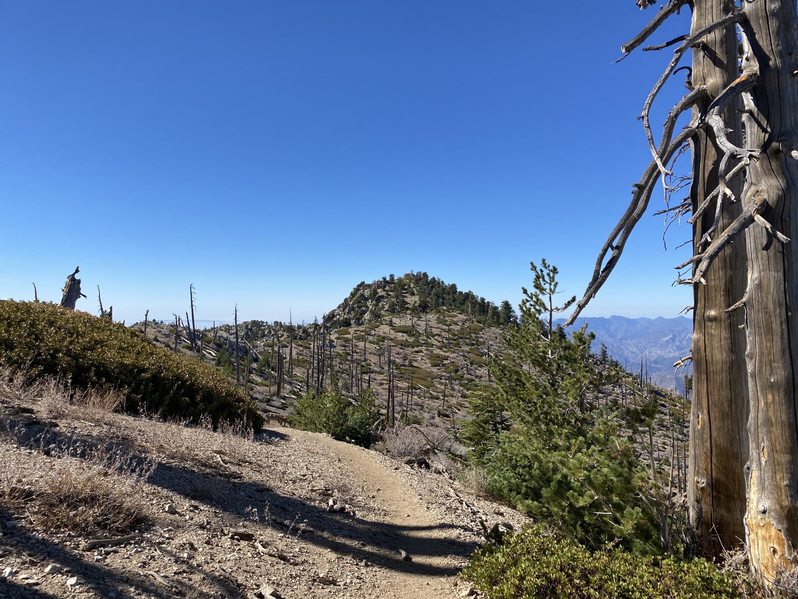
To reach the summit of Cucamonga, the trail follows the northern side of the peak. From the saddle, we still had over 1,000 feet of elevation to gain. We got some beautiful glow upon the Ontario ridge to our west as we worked our way up the switchbacks. Suddenly, a Bighorn sheep stood foraging for its breakfast, and I froze. It looked at us for a bit and returned to looking for food.


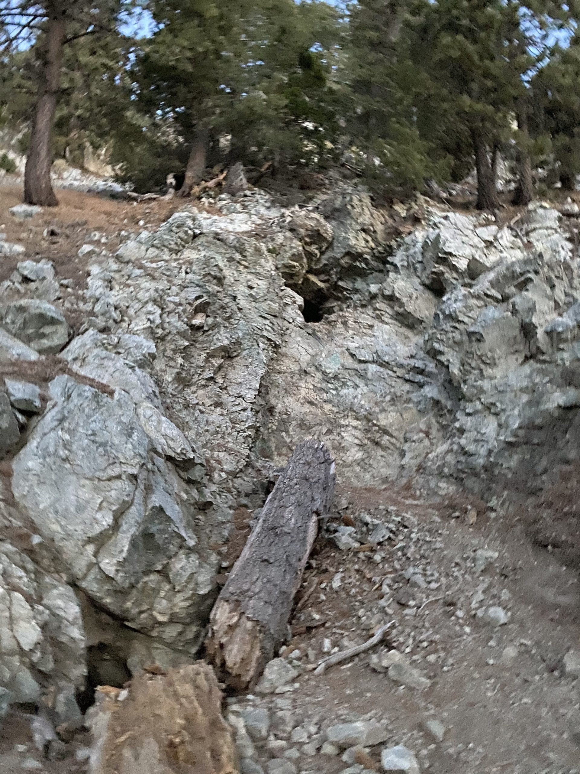
We kept pushing upward, crossing over some rocky avalanche fields. I was glad to be crossing these in the light. Finally, we reached the wooden post that makes the turn-off to the summit, and had just .2 miles to go!


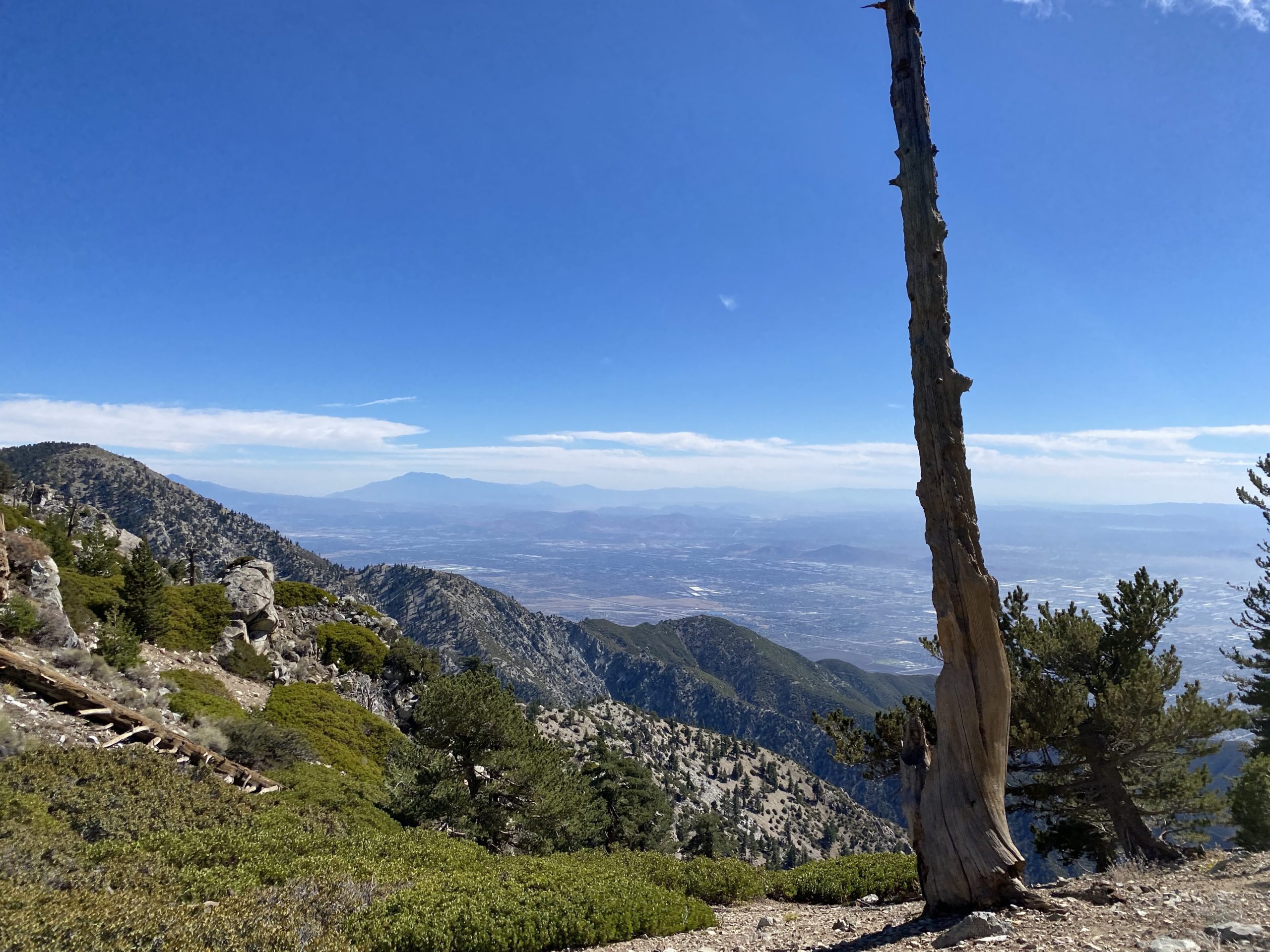
Once at the summit, we soaked in the views. The skies were pretty clear, so a lot of LA spread out below us. We found some rocks to shelter us from the breeze while we took a well-earned break. With some energy in our bellies, we took our photos. Ted was able to work his way out onto the overhang for the standard Cucamonga photo. Since it was a bit brisk with the breeze, we did not linger too long, and we still had many miles to cover.
Making our way back down, we started to encounter more hikers working their way up. Back at the saddle, we looked over the map and decided that we did not want to attempt the ridge. Ted did need to be back in San Diego by 6-ish, so the trail route seemed more sensible.
Once back at Icehouse Saddle, there were a few more people there than when we first passed through. We took another break and looked over the remaining miles, difficulty, and pace to see if it made sense to attempt Ontario. In the end, we felt we had enough time and energy to make the attempt, so off we went.


We reached Kelly’s Camp at a decent pace, so we trekked on. I knew from the trip reports that we would have a number of downed trees to navigate. Our first one was quite significant. I clambered over it, while Ted bushwhacked instead. Once we were over it, we discovered the trail turned back and we had to climb back the other way. Arrgh!
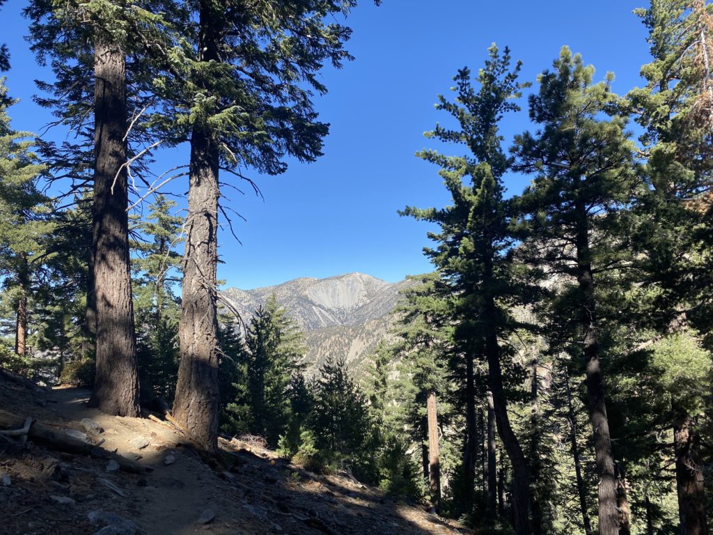
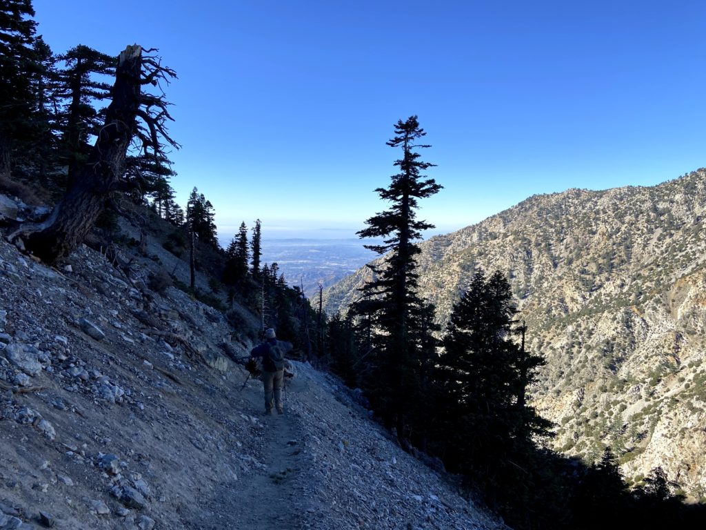
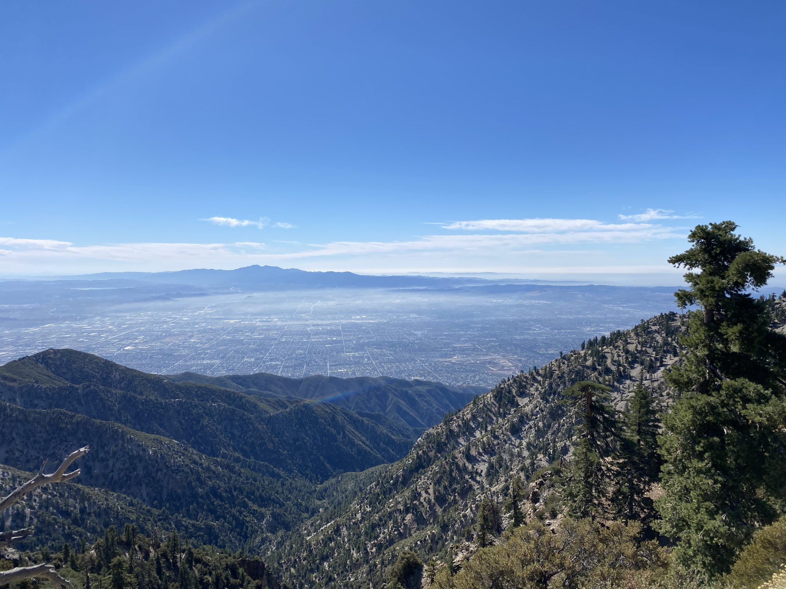
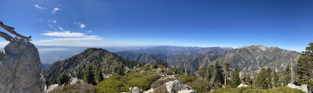
With that misadventure behind us, we continued climbing. All told there were 10 downed trees that required us to climb. The trail hugs the side of the ridge, keeping a decent steady grade. Every once in a while it intersects with a small saddle, and you are rewarded with a great view of the LA basin. Soon, the actual summit came into view, with the top of its famous tree poking out behind the rocks.
At the summit, four hikers were taking turns posing for pictures on the tree. We shed our packs and waited for our turn. I grabbed some food and some Gatorade. We knew that we did not have time to linger, as we had over 6 miles back to the car.


We headed back down the trail, which did not have much traffic on it. Not that I am complaining. My hips were starting to feel all the miles and climbing, so I had some extra “Vitamin I” to help. Once back at Icehouse Saddle, we took another break before we set off down Icehouse Canyon. Just a mere 3.6 miles back to the car…
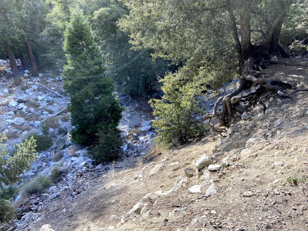
We cruised down the trail, seeing all the sights that we missed in the darkness upon our ascent. I can see just the hike up to Icehouse Saddle would be a fun excursion. As we got within a mile of the car, the sound of the creek returned. We also noted the trail was a bit rocky, slowing us down slightly. I commented to Ted, “We came up this in the dark? What were we thinking?”


Soon, the cabins began to appear. We also kept an eye out for the slope we scrambled up, as well as tried to figure out where I veered off.
Soon the trailhead came into view and our epic adventure was complete. All told we hiked 16.9 miles in 11 hours and climbed some 5,505 feet of elevation! That was my 12th peak on the Six-Pack of Peaks Challenge! We quickly changed and headed back to San Diego. I am happy to say we got back in time for Ted to make his dinner with the In-Laws.


I am an avid peak bagger, sometimes backpacker, and former sea kayaker living in San Diego. I am the co-author of Urban Trails: San Diego, available now!
In 2019, I became the third person to complete the San Diego 100 Peak Challenge. Not stopping with that accomplishment, I set my sights on the harder San Diego Sierra Club 100 Peak list, which I completed in 2021. In addition, I have conquered several Six-Pack of Peaks challenges (SoCal, San Diego, Central Coast, and both the Arizona-Winter and Arizona-Summer).
I am looking forward to exploring new summits and new adventures across the southwest.