Today was to be an attempt at summiting San Ysidro East Peak. While it had been part of the plan when we did the crossing back in February, I had a blister that was bothering me, so I passed making the summit and continued onto The Sirens. Since I needed this peak to complete the Sierra Club San Diego 100, I knew I would have to make my way back.


Ted and I set off just past 6:30 from what is now a very familiar turn off on Lease Road in Ranchita. It was a brisk 40 degrees as we made our way up the old jeep trail. Once we reached our first saddle, the sun greeted us. We stowed our jackets and began heading toward a saddle just south of The Thimble. We were following the same basic route I had used for the first attempt back in February.
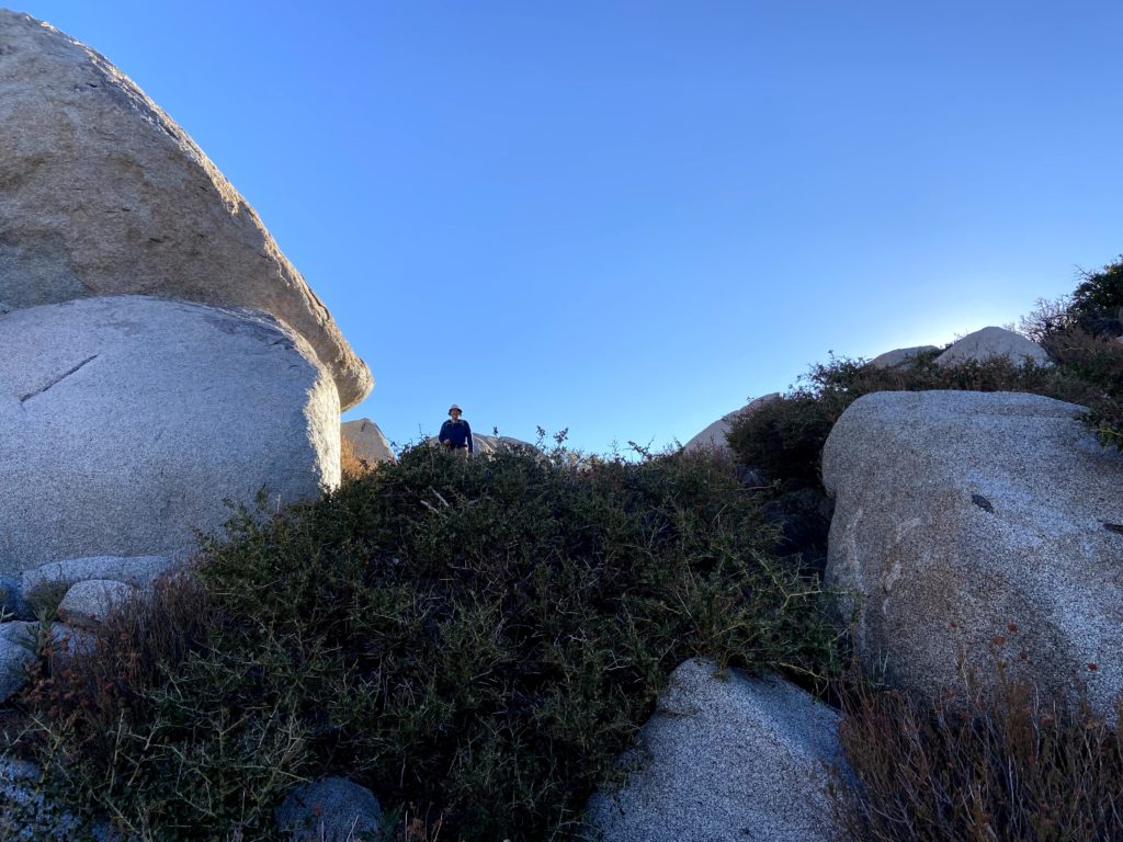
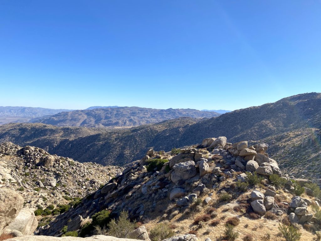
Once we reached this saddle, I outlined our basic route for Ted, pointing out various landmarks. The plan was to head directly to San Ysidro East Peak, then on the return maybe hit Goat Benchmark. I plotted a route that would bypass the dip down to Goat Benchmark and continue along the gully that we had been following. Along the way, we saw patches of snow and one animal skull.


Unfortunately, the route I had plotted increased in difficulty. Nothing too extreme, but certainly not as easy as we had been traveling before. Once my track rejoined our February track, we both agreed the other route was clearly the right path.
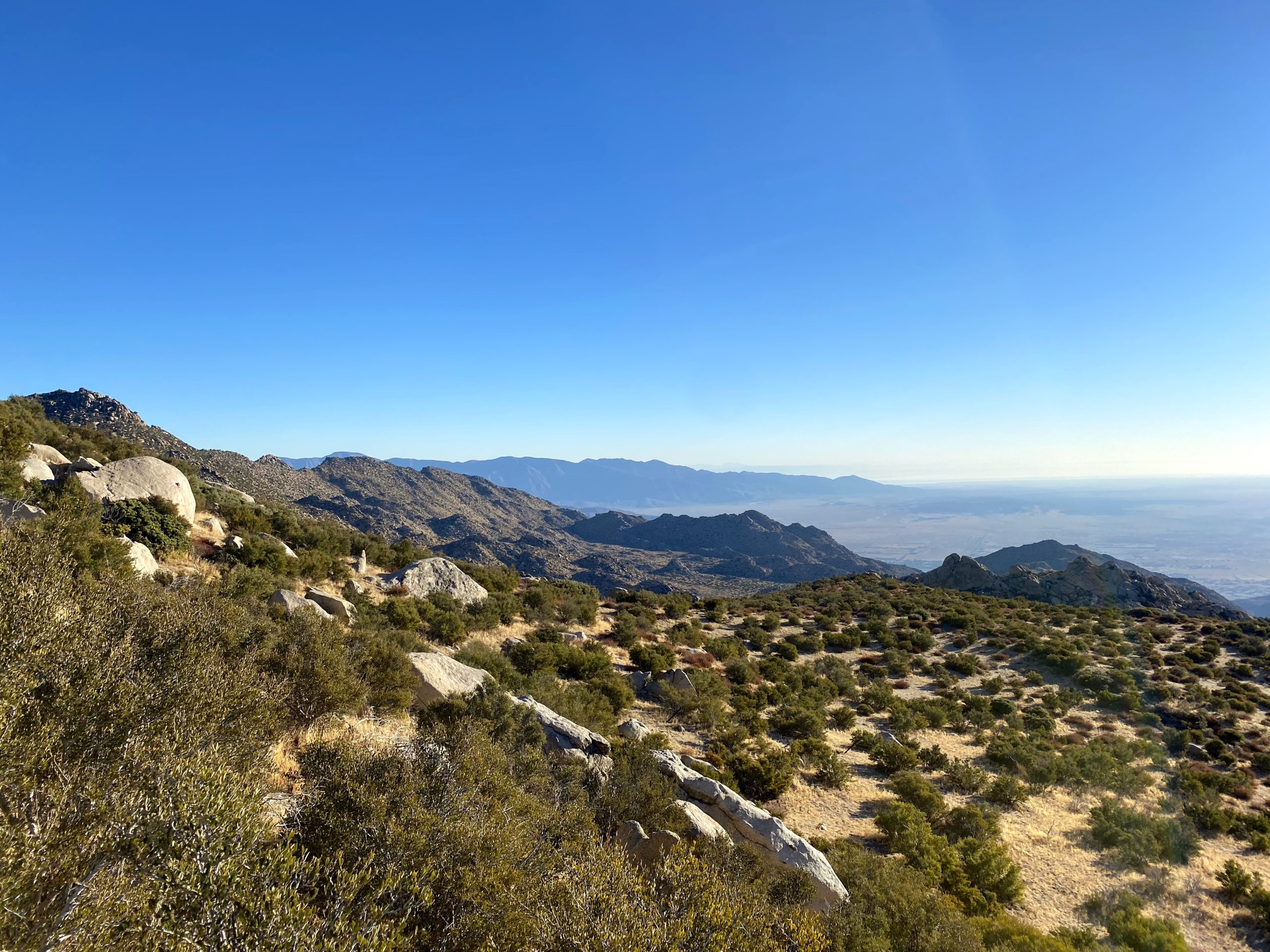
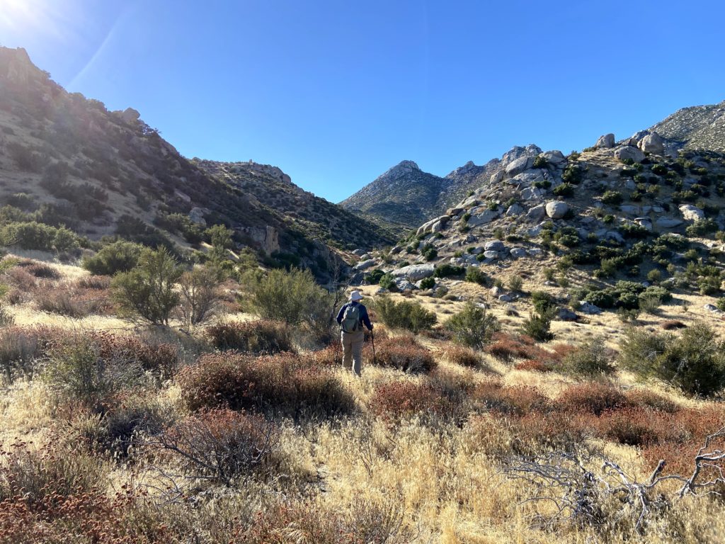
We began working our way down into Hellhole Flats. The day was warming up. We also were keeping an eye out for Matt Bennett, as he was out working on some of the other nearby peaks. We never did see him, but it was a long shot anyway.

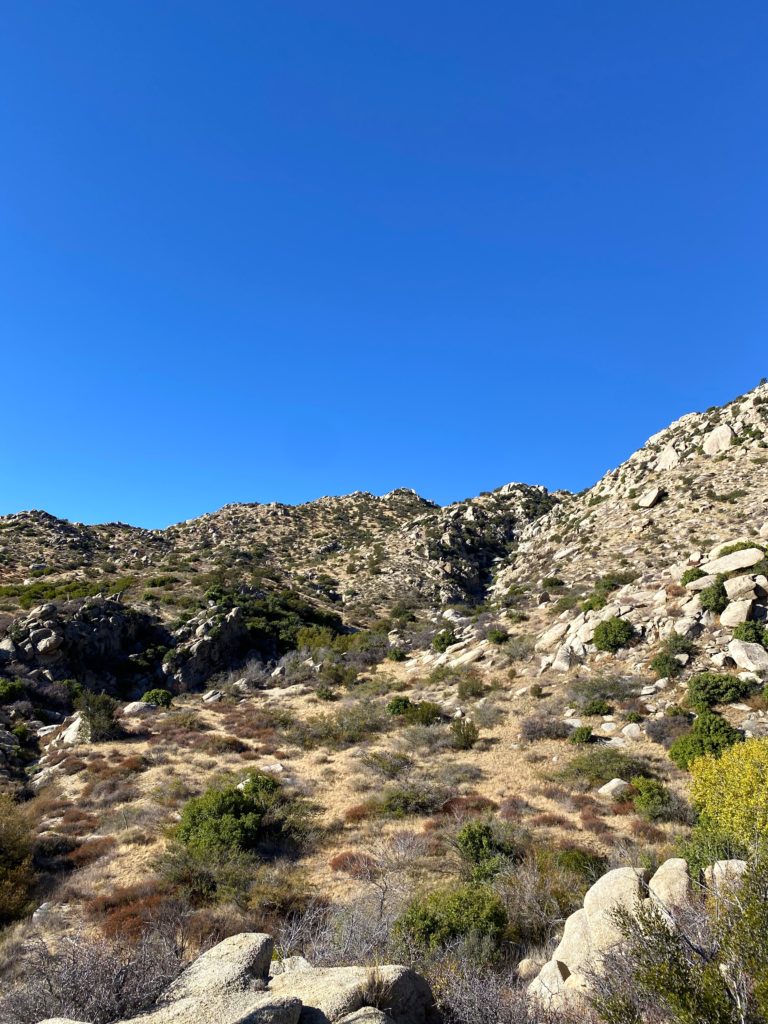
We reached the base of the route to the summit of San Ysidro East and took a break. The temperature did give us concern, as we knew we still had a 5-mile hike back and up. I knew the ascent was going to be steep and hard. We opted to ascend on the left side of the gully. Soon, we found that this was a poor choice. It was more bouldering than we thought. After about 400 feet of elevation gain, with about another 900 or so to go, we stopped and took stock of our situation. Between the effort to summit, plus our return and our remaining water, we decided to abort our summit attempt. We crossed the gully to try descending along that side. It was certainly easier terrain. We did stop and look up and did consider it once more. We ultimately decided to play it safe and descend. Next time, I will follow Greg’s route without question.


We were bummed, but comfortable with the choice. Our return route was a bit south of our initial route. I was also scanning alternative exit options for the next attempt. Part of the reason I wanted to do this hike as an out and back is I did not enjoy the descent from The Sirens to past Kay Benchmark. I was scanning the route down to Webo benchmark and using it as an exit route for the next attempt.


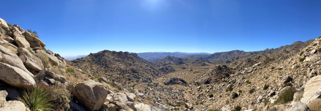
We found a nice bit of shade and had our “summit” lunch. Now we would begin our second climb, back out of Hellhole Flats. We decided to go for Goat Benchmark as we were feeling the miles and heat some, but we also knew that most of this route was what we’re going to use to bypass the tough section we had used at the start of this adventure.
We climbed up to the small plateau, then headed south. Scrambling up, we took a nice break on the higher bump. While Peakbagger has this spot as the peak, but the benchmark and register are on a bump just to the south. Knowing we still had over 1,000 feet to climb over the next 1.5 miles, this was good enough.
Our climb was slow and steady, as we were conserving our water. The Thimble served as our lighthouse as we followed some nice animal trails up the gully. We did stumble across another skull along the way. We reached the saddle just as I drank the last of my 2.5 liters of water.


Now it was just a short descent and the mile or so back to the car. Along the way, we met some locals out for a mountain bike ride. We chatted a bit and they were impressed with our adventure. Soon we were back at the car, where we quickly guzzled down the drinks we had stored. A stop at the Montezuma Valley Market was also in order for some cold refreshments before the drive home.
Although we did not reach our goal, it was still a good hike and one to learn from. All told it was 12.24 miles in 9:50 minutes, with over 3,800 feet of gain (although Ted’s watch had recorded 4,000 feet). When I try again there will be a few changes: wait for cooler weather, more fluids, and follow Greg’s route toward Goat, and the Summit. I think I also will not do it as an out and back, but as a point-to-point via Webo and Ted benchmarks.


I am an avid peak bagger, sometimes backpacker, and former sea kayaker living in San Diego. In 2019, I became the third person to complete the San Diego 100 Peak Challenge. Not stopping with that accomplishment, I set my sights on the harder San Diego Sierra Club 100 Peak list, which I completed in 2021. In addition, I have conquered several Six-Pack of Peaks challenges (SoCal, San Diego, Central Coast, and Arizona-Winter). Beyond attempting the San Diego Sierra Club 100 Peak list a second time, I am looking forward to exploring new summits and new adventures across the southwest.