After watching the SpaceX launch of the NROL-87 mission up in Lompoc, I decided to add in Gaviota Peak before heading back home to San Diego. I pulled into the parking lot at Gaviota State Park around 1:30 pm and changed into my hiking gear. There were about 4 other cars parked in the small lot. The park does charge a $2 self-pay fee to use the lot. There are no bathrooms here or any other amenities. While there is parking outside the official lot, I felt like supporting the park.
The route to the summit has two options–the slightly more direct fire road or the Trespass Trail. I was a little tight on time due to a slight delay in the launch, so I was going to take the fire road both up and back. Many hikers take the fire road up and return down the Trespass Trail.
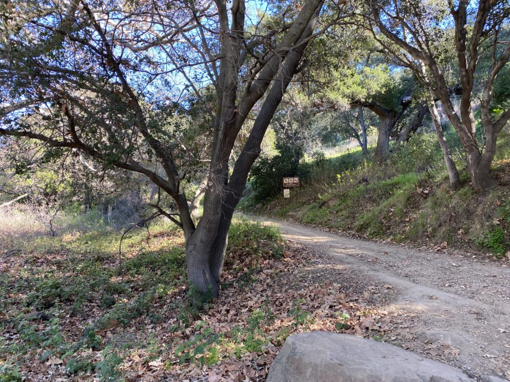
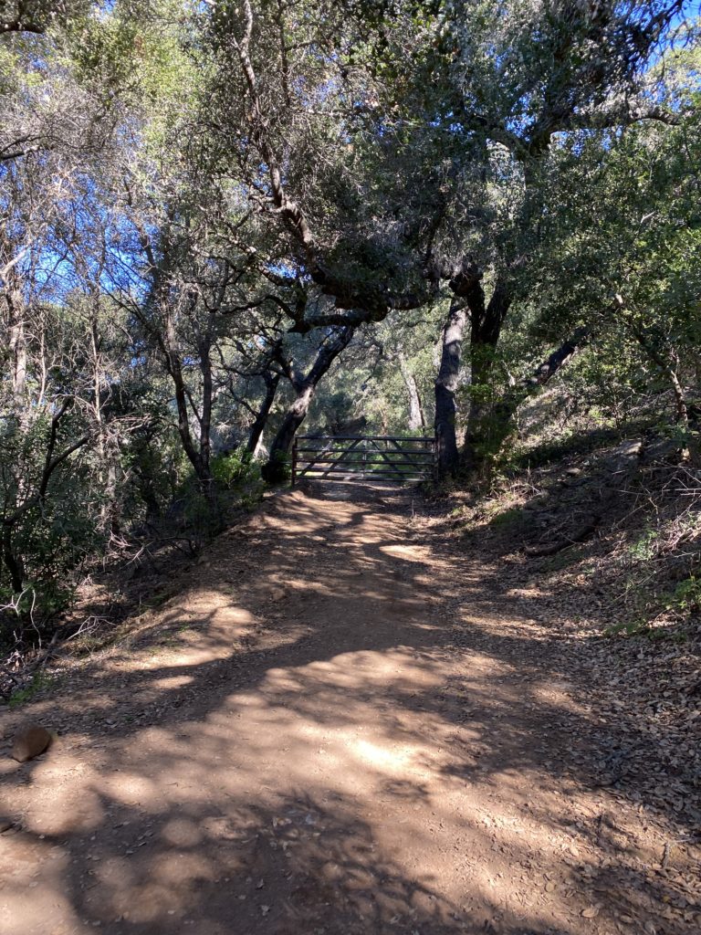
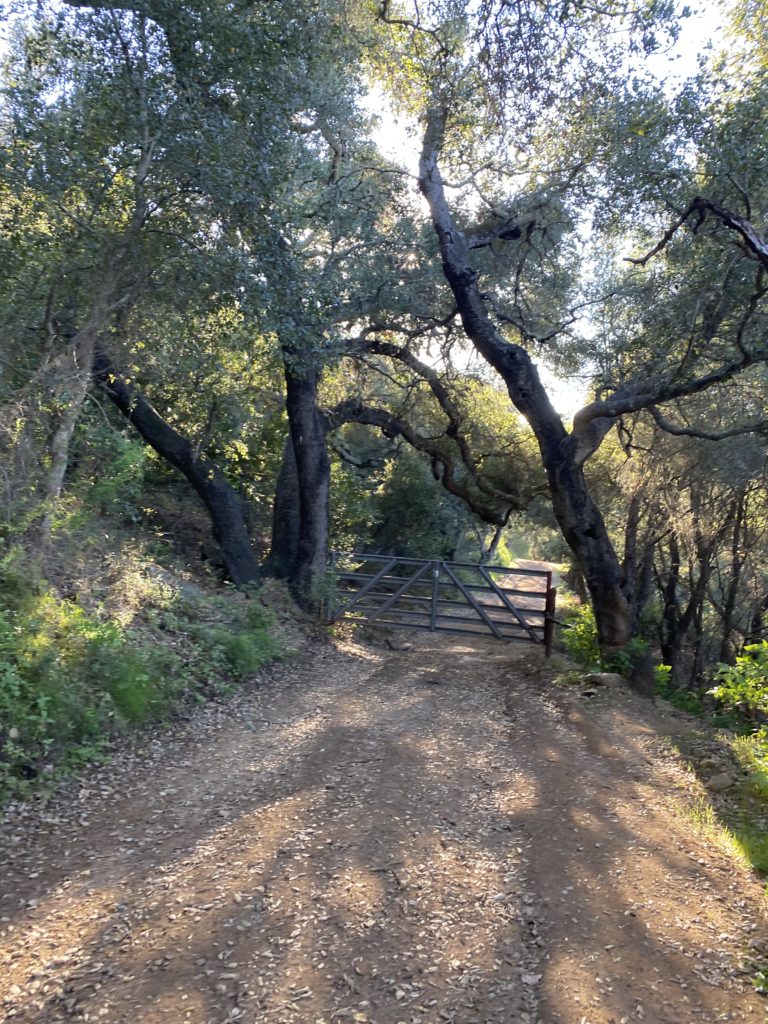
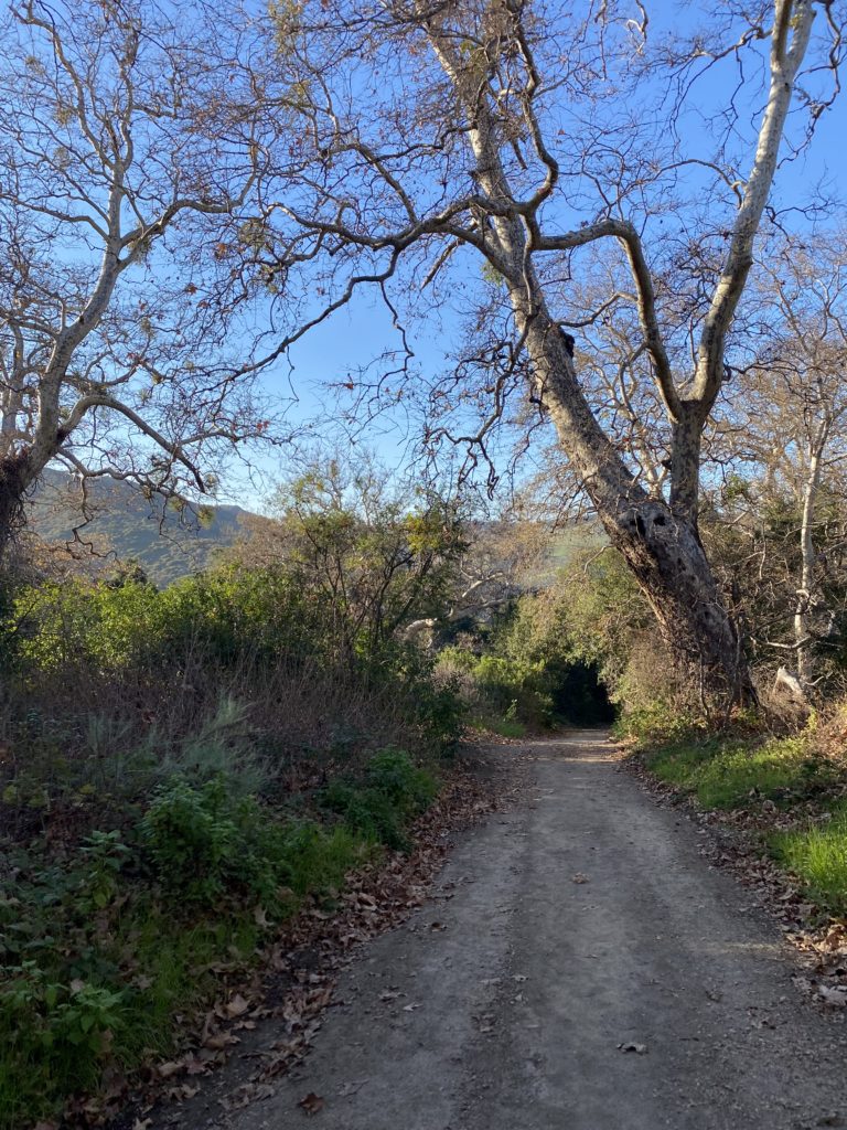
The route immediately begins its climb right at the start. After a short while, the noise from the 101 faded away, and I was left with just the sounds of my boots on the dirt. At the 1/4 mile mark, the trail splits between the Trespass Trail and the fire road. I kept to the left to stay on the fire road.
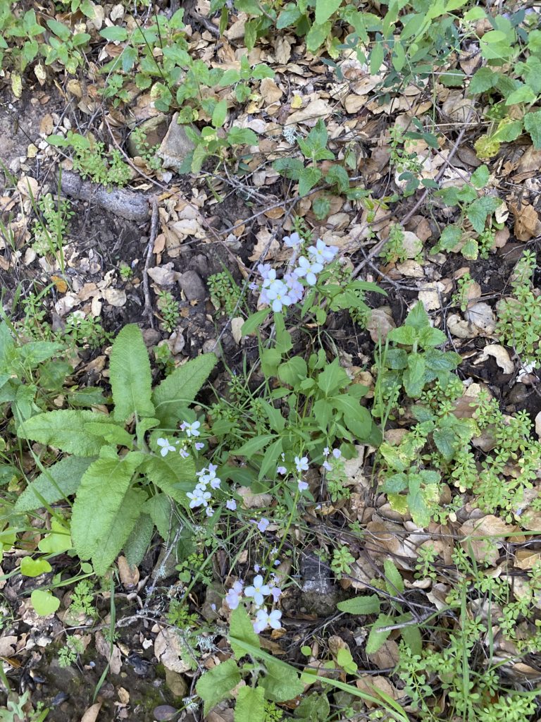
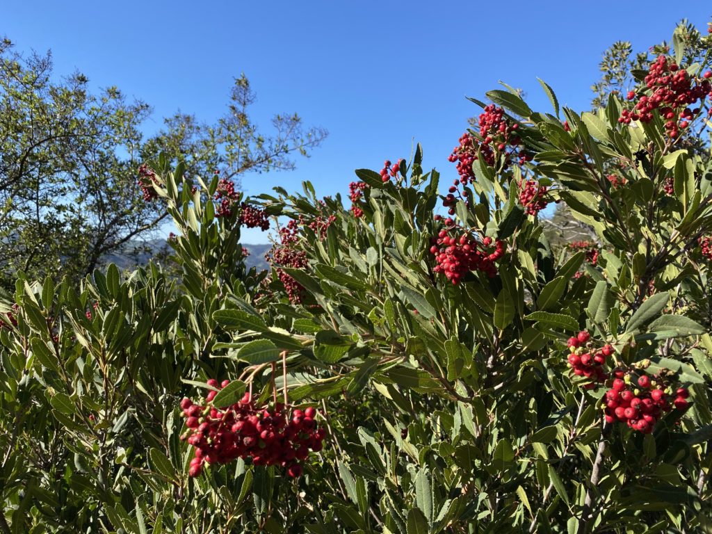
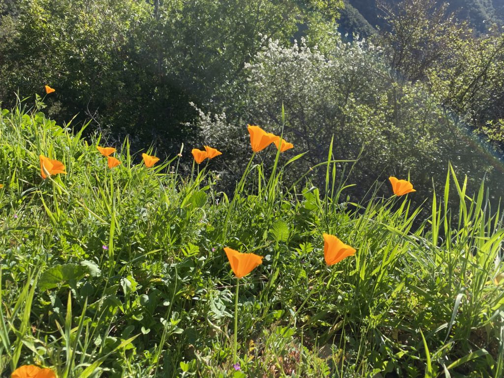
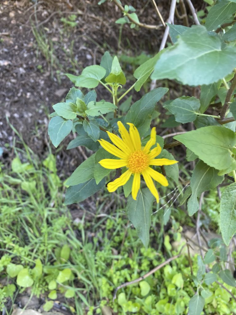
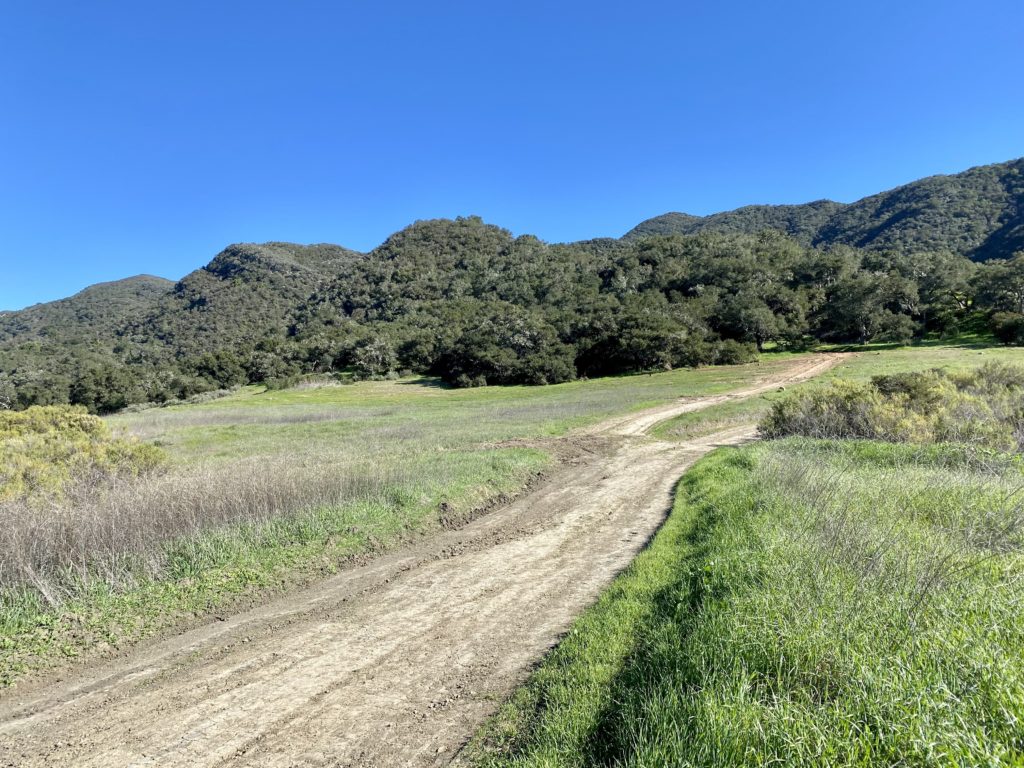
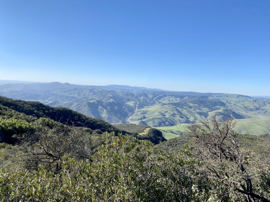
As I worked my way up to the summit, a few wildflowers would dot the side of the road. I saw the side trail to the hot springs but didn’t have time to go visit them. The route is a steady, constant climb. I later reviewed my route in CalTOPO and the grade was an average of 20%. So you will get a nice workout as you make your way up, but you are rewarded with some really nice views of the surrounding area while you keep climbing.


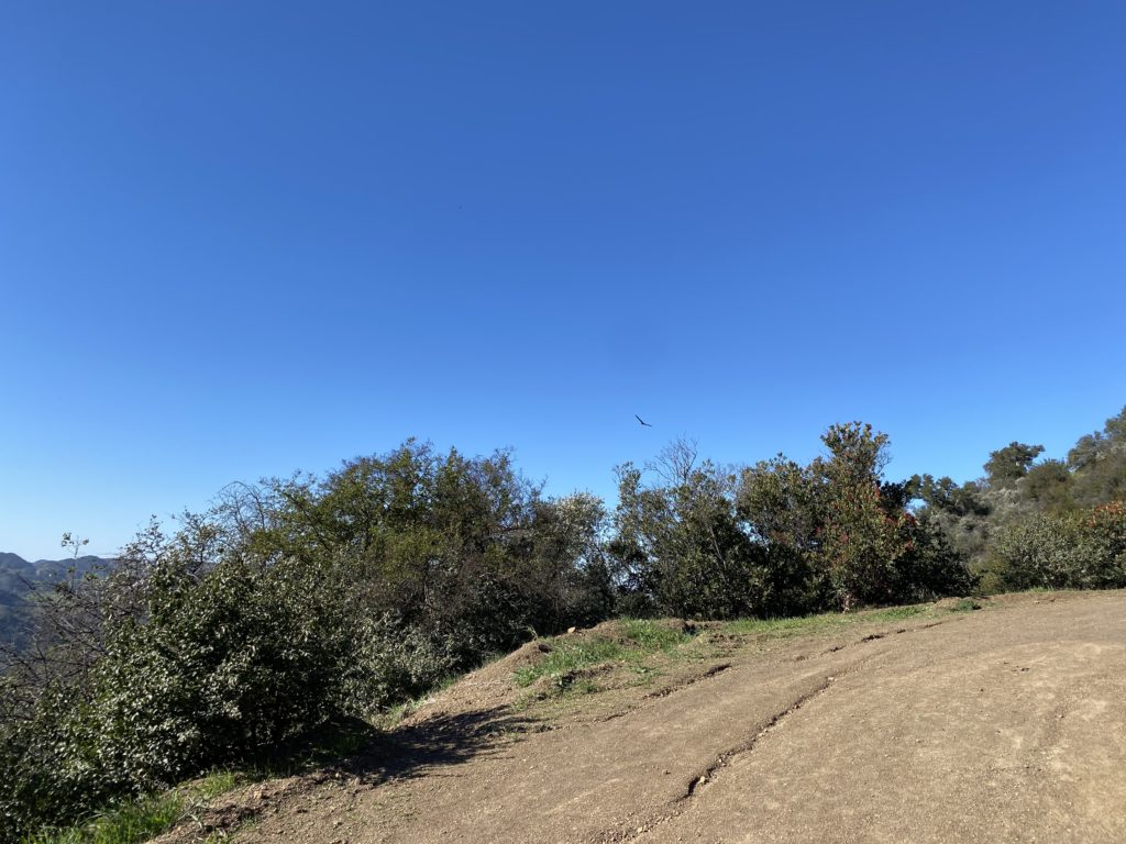
The road came to a T junction just before the summit. This gave me the first real view of the coast. Simply stunning! The last 2/10 mile to the summit is a bit steeper. Once at the summit, the large metal can that serves as the register was clearly visible, signaling the summit of Gaviota Peak. I did locate the reference mark, but the true benchmark is either lost or under that can. The can holds a large collection of registers, so I opted not to sign in. After snapping my photos, I retraced my route back down to the car. If I was going to take the Trespass Trail, I would have continued over the summit. That trail follows the ocean side of the ridge, so you will have more ocean views to take in, but it is about another mile longer.
This hike is #70 on the Sierra Club Lower Peaks Committee list, and my 12th summit. I logged 5.8 miles in 2:34 with 2,106 feet of elevation gain.


I am an avid peak bagger, sometimes backpacker, and former sea kayaker living in San Diego. In 2019, I became the third person to complete the San Diego 100 Peak Challenge. Not stopping with that accomplishment, I set my sights on the harder San Diego Sierra Club 100 Peak list, which I completed in 2021. In addition, I have conquered several Six-Pack of Peaks challenges (SoCal, San Diego, Central Coast, and Arizona-Winter). Beyond attempting the San Diego Sierra Club 100 Peak list a second time, I am looking forward to exploring new summits and new adventures across the southwest.