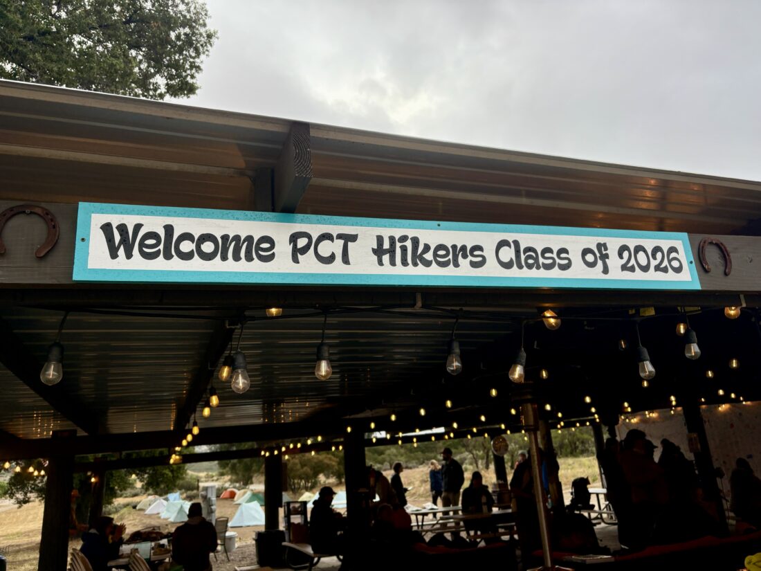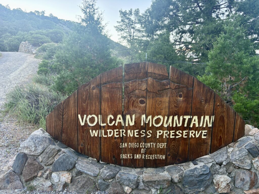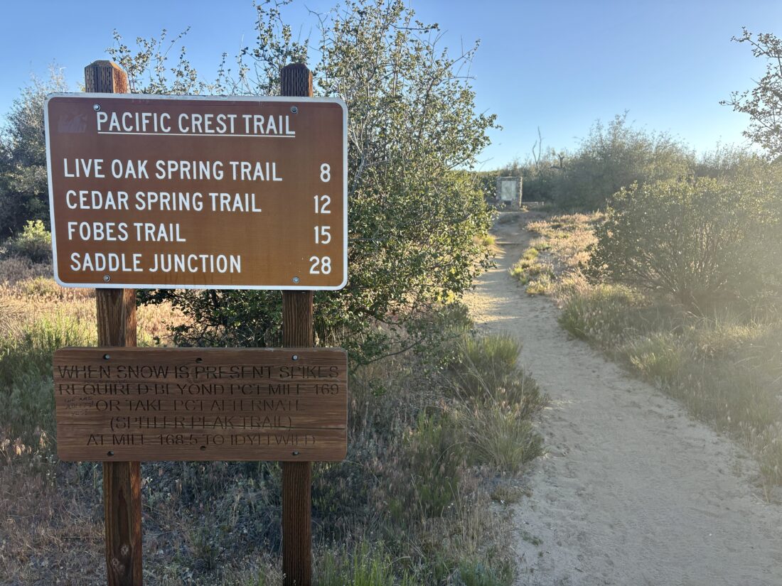
I awoke just before the alarm went off and quickly got ready. I was driving up to Idyllwild and picking up Sara to shuttle her back down to the Highway 74 trailhead before joining her once again on the Pacific Crest Trail. However, this time I would not just be day hiking; I would be backpacking this section of the trail all the way back to Idyllwild. I grabbed breakfast and coffee for Sara and me at the 24-hour McDonald’s in Temecula, then continued up the mountain to pick her up at the rental cabin she was sharing with some other thru-hikers. I got there right around 6 am, and Sara was soon in the passenger seat, ready to hit the trail once again. We pulled into the trailhead parking lot and quickly gathered our gear. We had a long, hard day of hiking ahead of us, and we wanted to get moving. Off to our north, we could see San Jacinto beckoning. We passed a stone monument with a map of the PCT and a memorial for Andy Elam, who, unfortunately, was murdered nearby back in 1989.


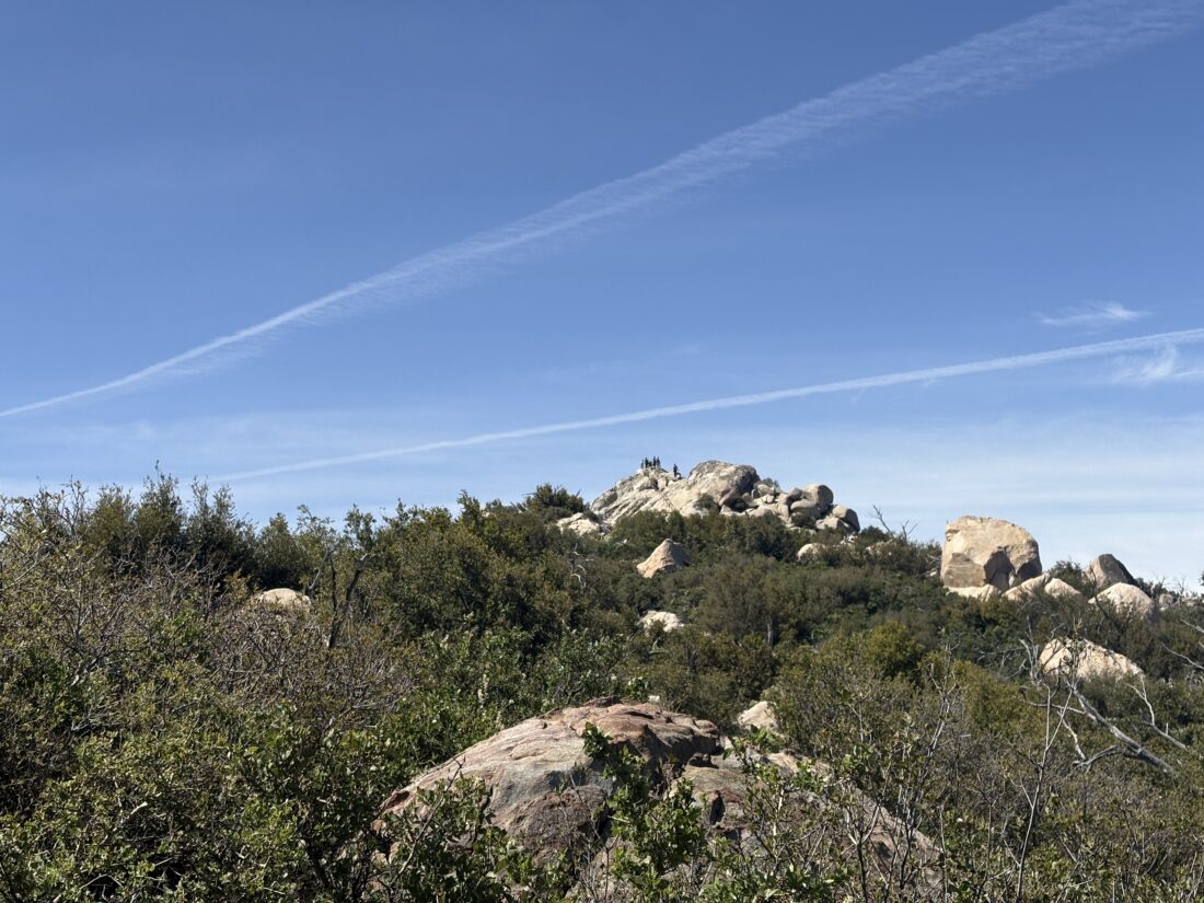
The trail started off mellow for a bit before the long climb began. We passed someone who had found a nice spot for the night. Sara continued filling me in on the events since I last saw her up on Mt. Laguna. Before too long, we came to the junction that one would take to summit Ken Point. While I was hoping to climb several side peaks on this trip, this summit was a bit too far for my liking. We enjoyed the views, mostly to the west. I tried to spot the peaks that I had climbed the week before. After a couple more miles, I came to the use trail that would take me to the summit of Lion Peak. This climb would be an out-and-back, so I dropped my pack off to the side of the trail and followed the cairns to the summit. I found the register and a nice wooden sign. I snapped a few photos, signed the register, and hustled back down. We still had a lot of miles to cover. Sara was waiting for me under the shade of a nearby tree.


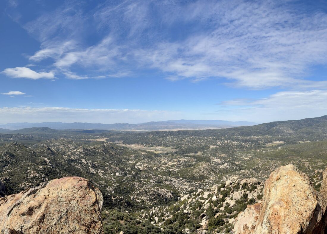
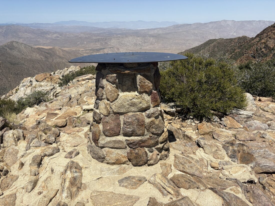
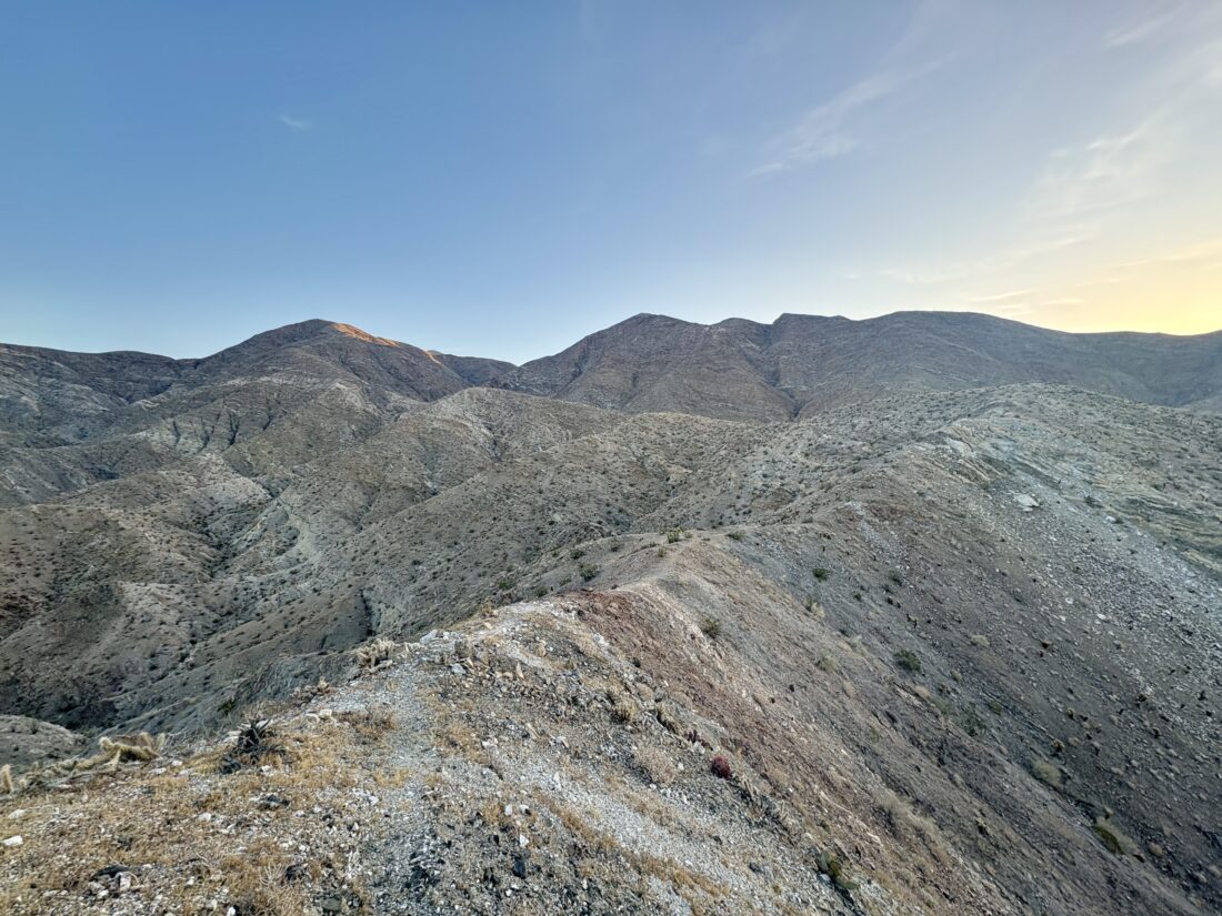
About 1/2 mile later, we reached the junction with the use trail to Pine Mountain. I debated on this one, as the trip reports indicated it was a bit brushy and a bit further off-trail. In the end, I opted to skip it. The day was getting warmer, and I was trying to be mindful of my water and energy. Just to the north, Pyramid Peak was calling my name. Unlike the climb to Lion Peak, this time I kept my pack on, as the route made more sense to climb it as a point-to-point. The use trail to the summit was pretty well marked. Once at its rocky summit, I had some fantastic views. Found the benchmark, two reference marks, and the register. I took a short break and enjoyed a snack before heading down the north ridge, again following a good use trail.


Sara had passed me while I was on the summit, but we planned to rendezvous at the junction for Cedar Springs. I found her enjoying her lunch in the shade with some other thru-hikers. One had just returned from the mile hike down to the spring to refill their water, and others were getting ready to make the same trek. Our original plan was to hike down and camp there for our first day, but it was just a bit after 1 pm, and we both agreed it was too early to call it a day. We could certainly top off our water, but the thought of those 2 miles was not appealing. Instead, we opted to make the short hike to Eagle Spring and fill up there. Using the references in the comments on FarOut, we found the lone pine tree and the use trail that led to a trickling spring and a water trough. Sara used the spring, while I carefully filled my CNOC from the trough, trying to keep the algae away. Once we had filled our bottles, we climbed back up to the PCT and continued on.


Since we had changed our initial plans, I was also reviewing my peak bagging side quests. The next peak on my agenda was Palm View Peak. On paper, this looked to be the easiest of all the ones I hoped to climb. Very little elevation gain and barely off-trail. I dropped my pack and set off. Sara kept pushing northward, knowing that I would catch her on the big climb that lay ahead of us past Fobes Saddle. The hike over to Palm View Peak started nicely, with some nice shade from the trees, until I hit a wall of brush. I tried to match my position to the tracks I had saved, but nothing really indicated a route through them. Relying on bushwhacking talents, I picked my way through until I spied a small mound of rocks indicating the summit. The register was soaks, and the views were less than stellar. I snapped a few photos and pushed my way back out.


The trail descended to Fobes Saddle, and the sun was slowly sinking behind Thomas Mountain. Spitler Peak loomed to my north. This was on my list, but there was no time to climb its steep slope and still make camp at Apache Springs. If I were solo and had climbed Ken Point and Pine Mountain, I probably would have made Cedar Springs later in the afternoon, so stopping there would have made sense. I knew there was a closer trailhead for this peak, so returning would not require re-hiking much of the PCT. I was now a good distance ahead of Sara, so we were coordinating digitally. I had some water left, so I did consider stopping short of Apache Springs for the night, then dropping down to it in the morning to fill up for the day. FarOut indicated a campsite before the junction with Apache Springs, but when I reached it, it seemed pretty full and exposed. So, I pushed on toward Apache Springs. At the junction, some folks had set up camp. I had been leapfrogging with some, so I asked them to let Sara know that I was headed down to the spring.


Apache Spring sits about 0.6 miles off the PCT and has a 520-foot elevation loss. As I started down, I hoped there was a spot for my tent, since I was not keen on hiking back up to the junction. Partway down, I passed one tent just off to the side of the trail. I thought to myself, great, if someone is camping here, are there even any spots near the spring? But as luck would have it, there was no one camped there! I found a nicely sheltered spot, since I knew it was going to be breezy overnight (25-mph gusts were predicted). After I got my tent set up and secured, I walked the few minutes to the spring itself. It was getting dark, but I thought I had enough light, so I left my headlamp behind. I gathered some water and hauled it back to the campsite. Once there, I saw how slity it was. When I scooped up the water, I disturbed the silt. I let it settle some before dumping out a portion and starting to filter it. I was pretty beat and decided not to spend the time or water on cooking dinner. Instead, I ate my Walking Tamale, a beef stick, and my mini-apple pie for dinner, then turned in for the night under the glow of the lights from Palm Springs. I had gotten a message from Sara that she had reached the junction and was camping up there. With that, I turned off my headlamp and drifted off to a well-earned sleep. I covered 19.2 miles in 13:03 total time and an elevation gain of 5234 feet.


I am an avid peak bagger, sometimes backpacker, and former sea kayaker living in San Diego. I am the co-author of Urban Trails: San Diego, available now!
In 2019, I became the third person to complete the San Diego 100 Peak Challenge. Not stopping with that accomplishment, I set my sights on the harder San Diego Sierra Club 100 Peak list, which I completed in 2021. In addition, I have conquered several Six-Pack of Peaks challenges (SoCal, San Diego, Central Coast, and both the Arizona-Winter and Arizona-Summer).
I am looking forward to exploring new summits and new adventures across the southwest.