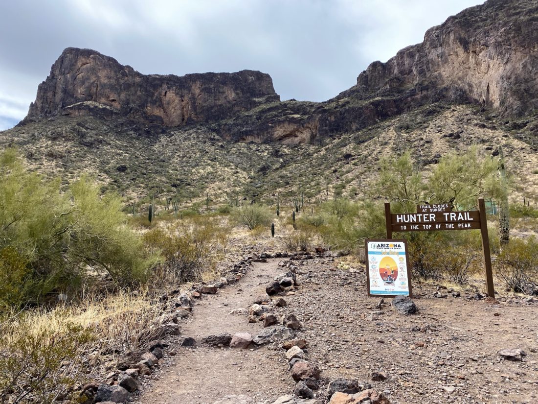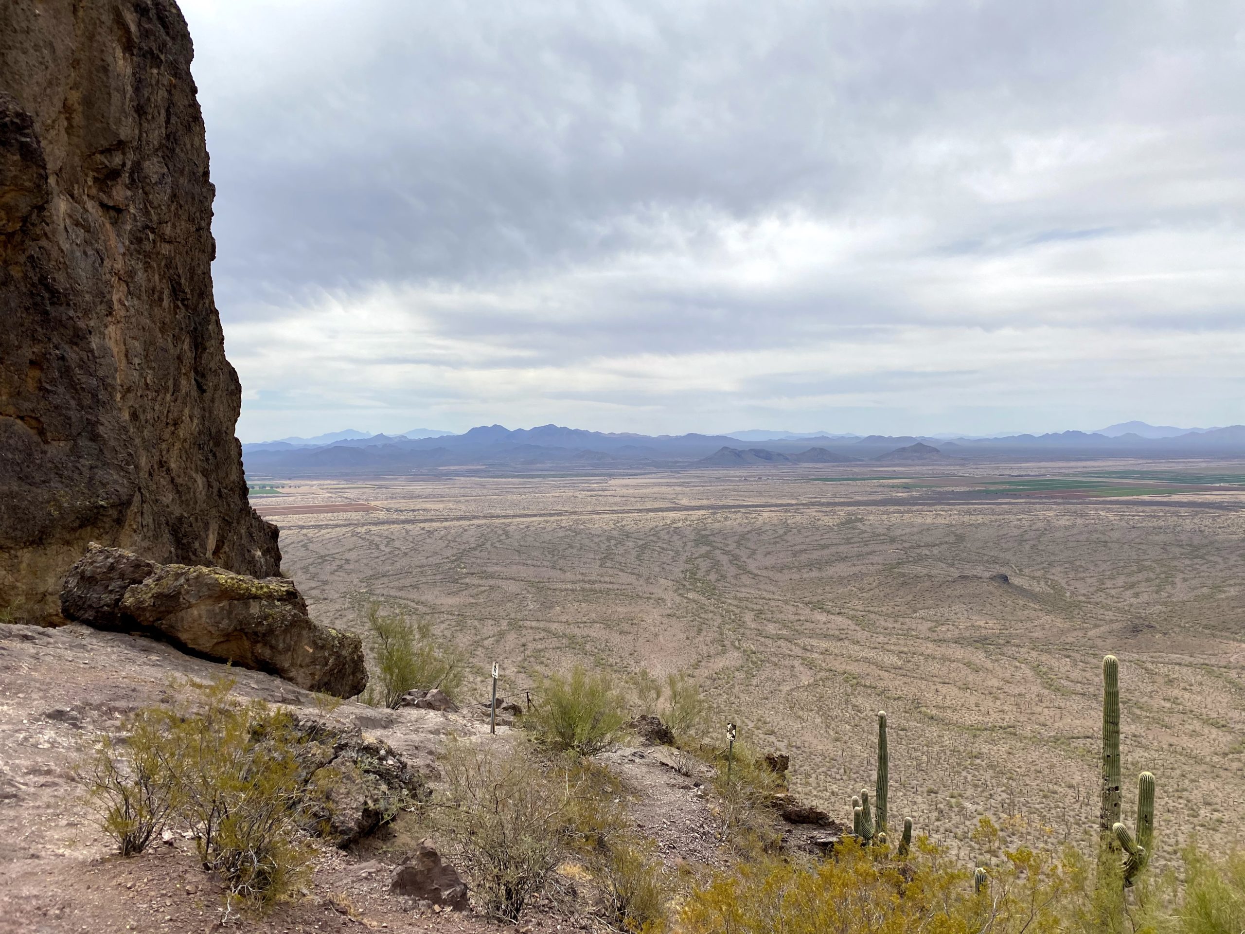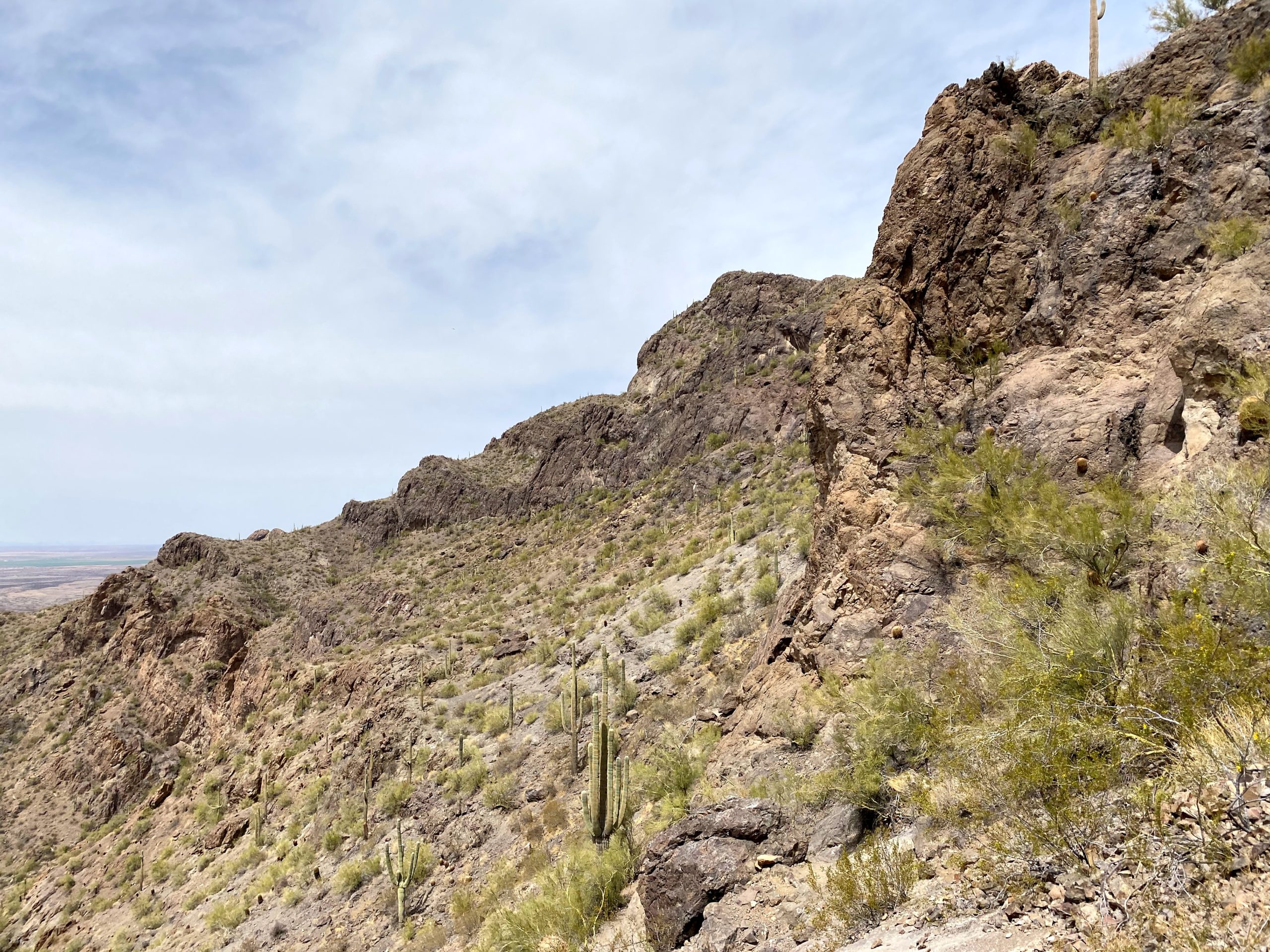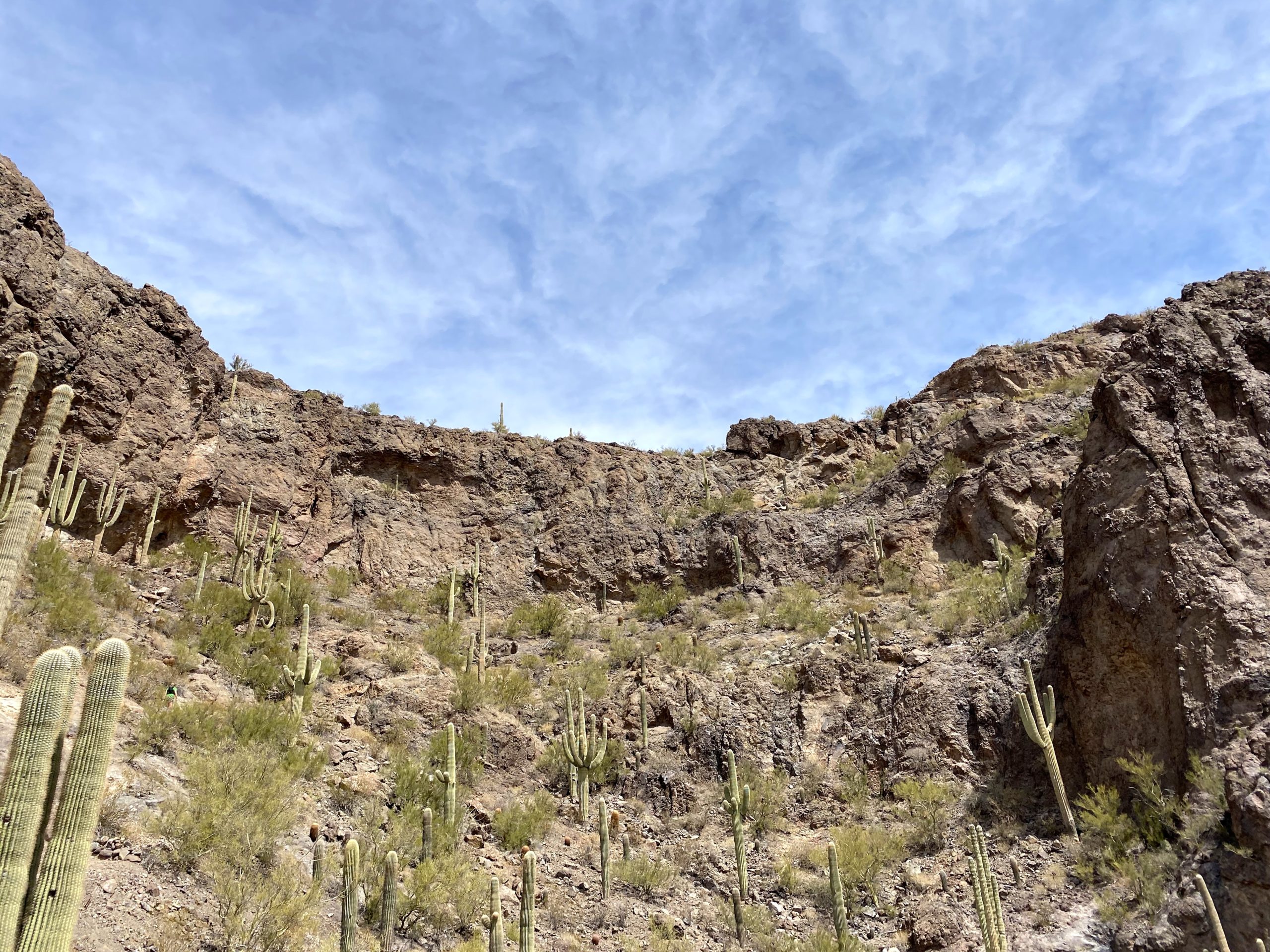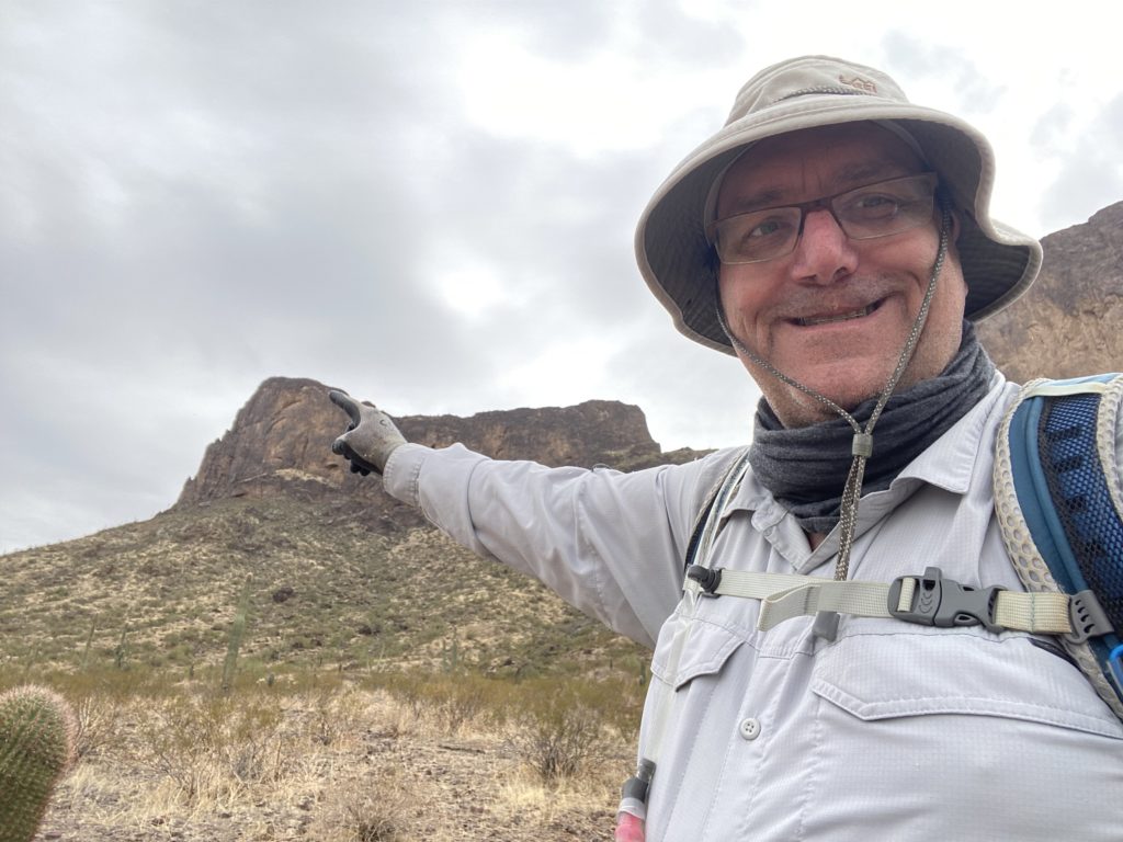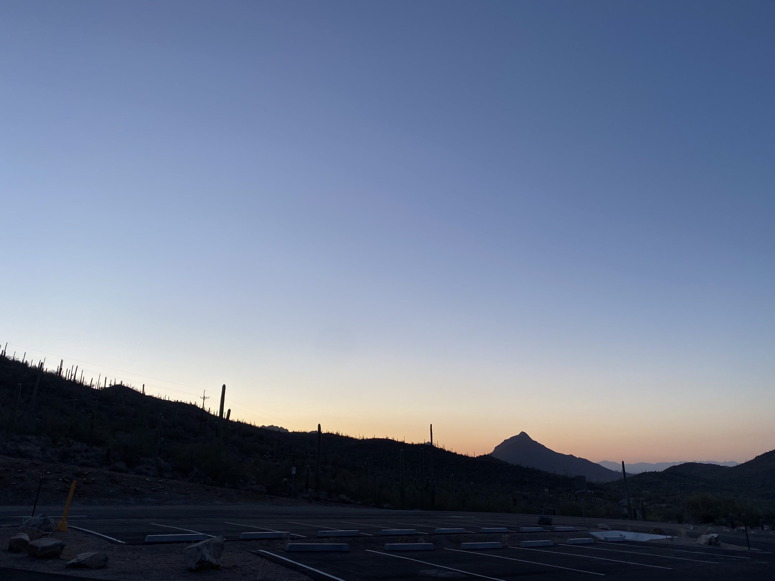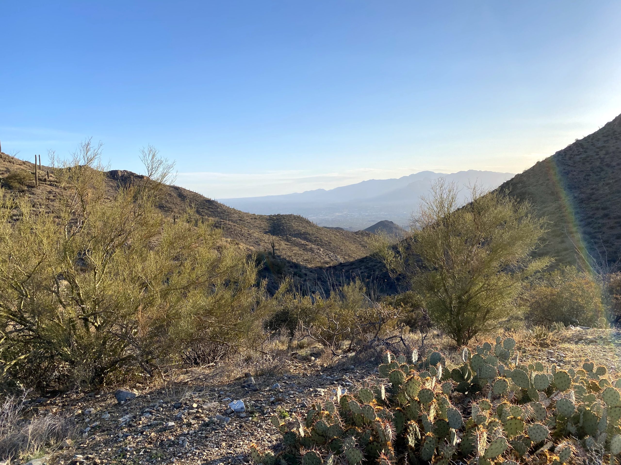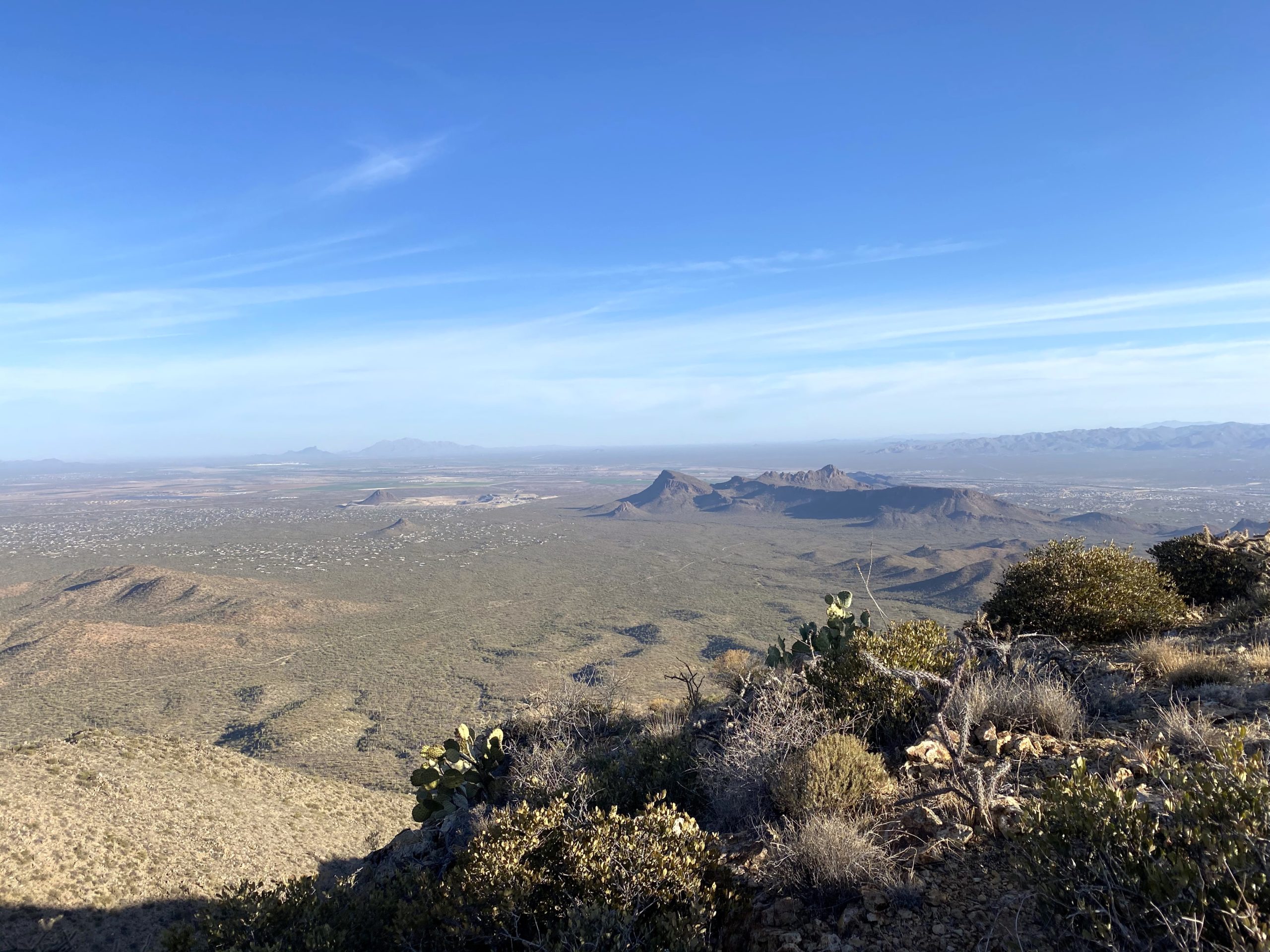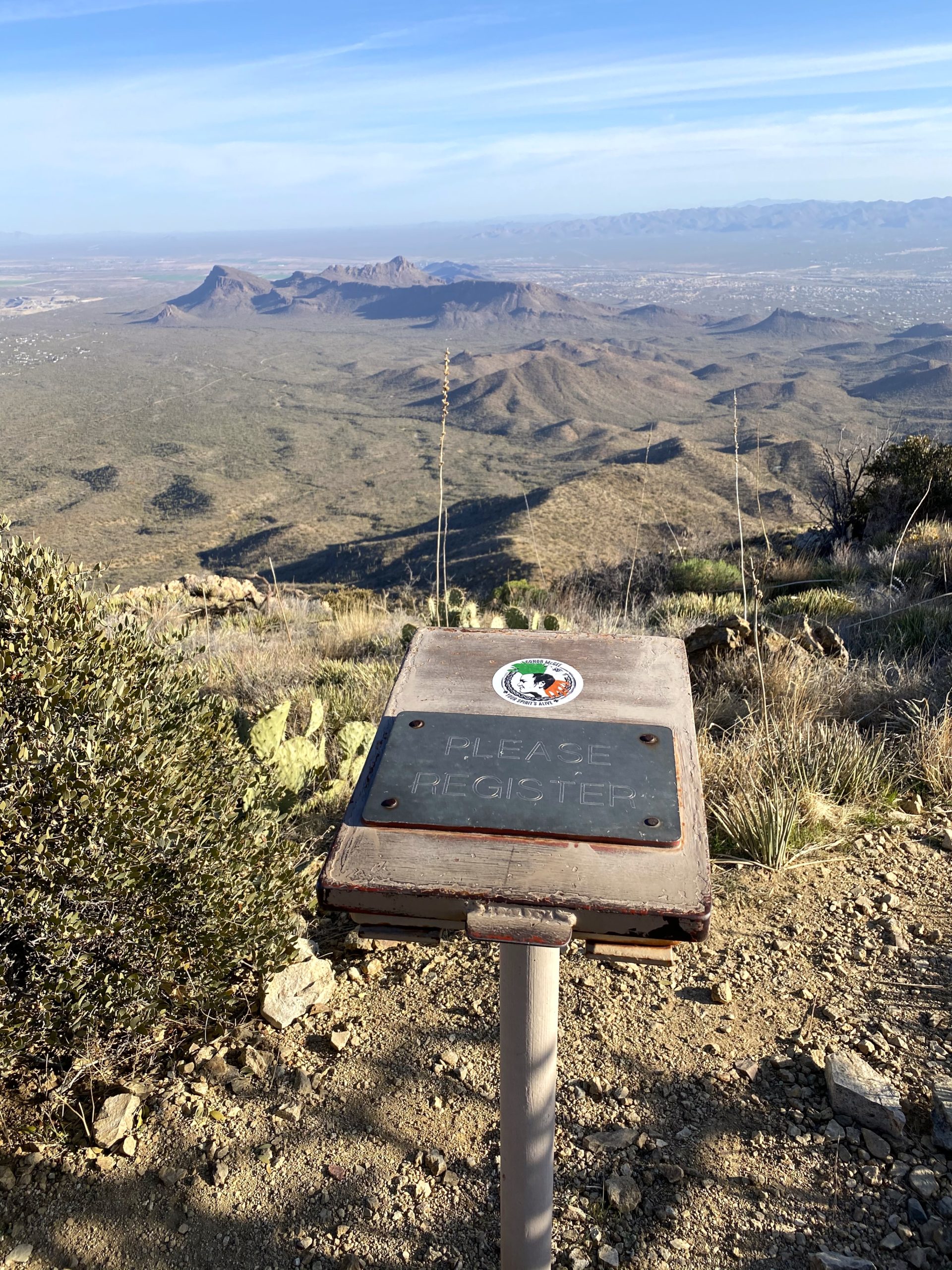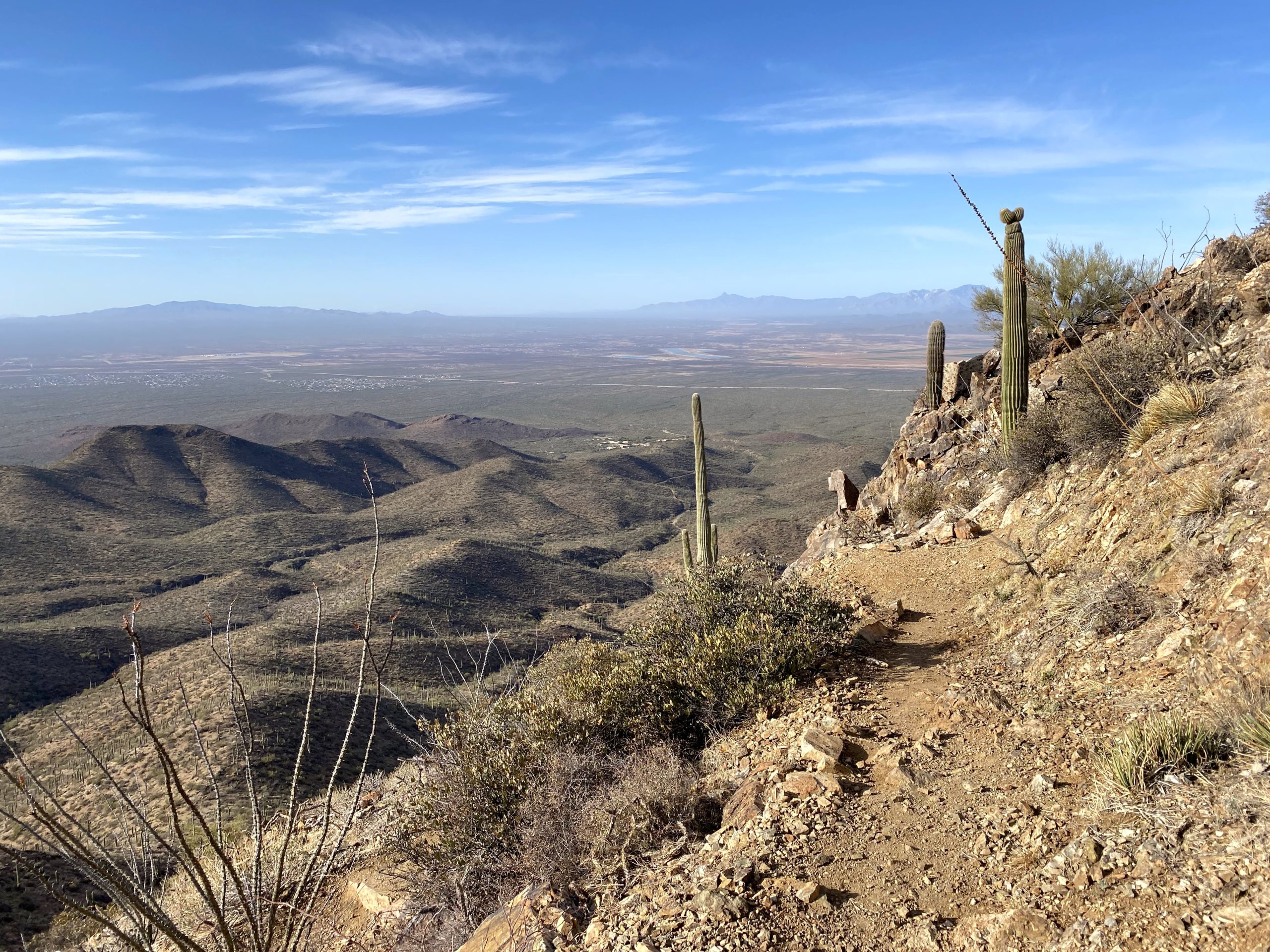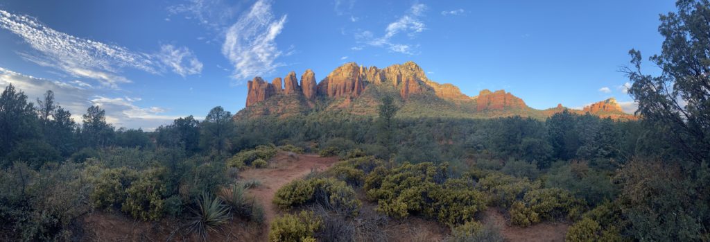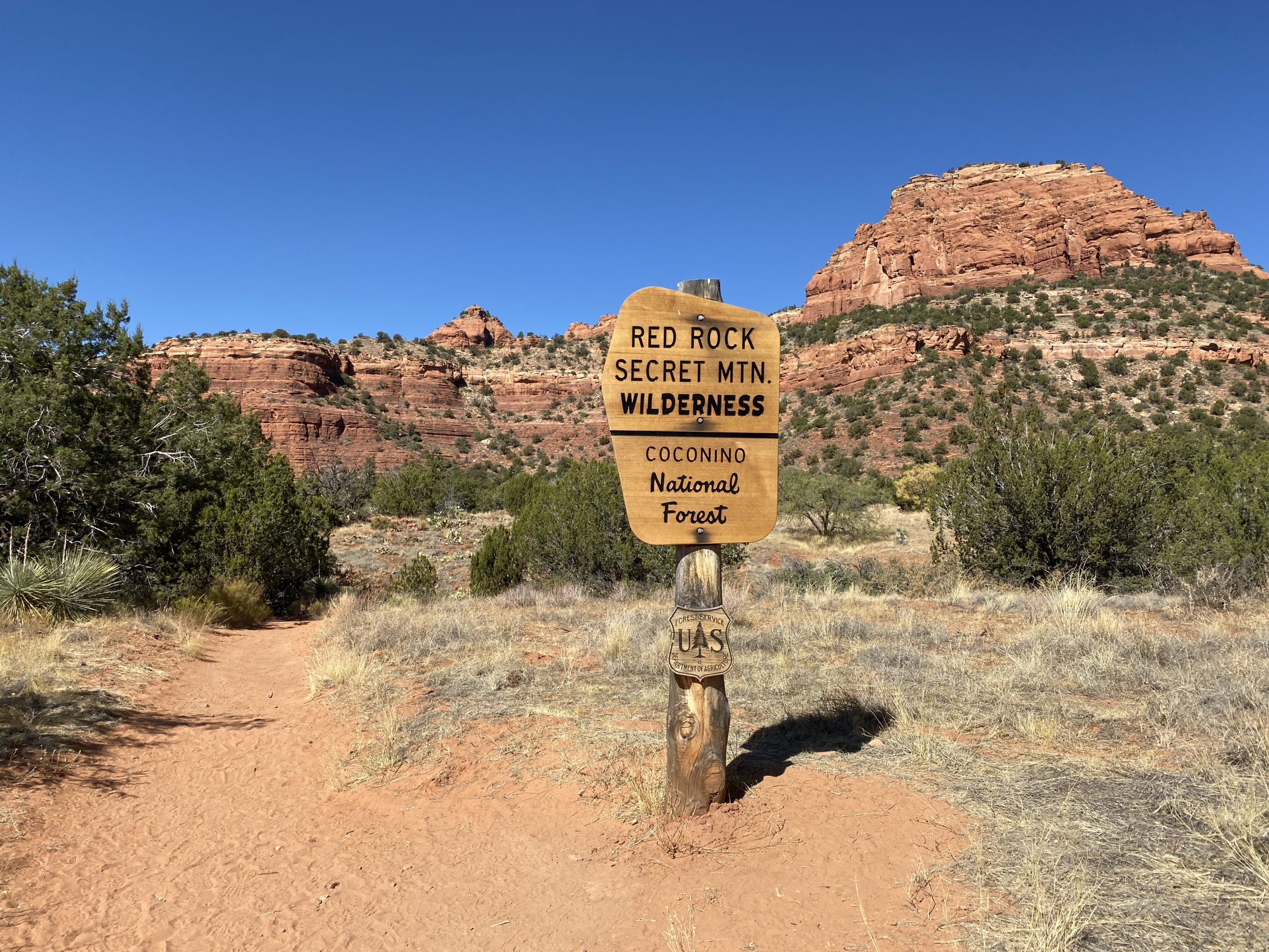
I knew I had time for either Piestewa Peak or Camelback before it was time to head back to San Diego. I flipped a coin and Piestewa Peak won. Previously known as Squaw Peak, this mountain was renamed in 2003 to honor Lori Ann Piestewa, the first known Native American woman to die in combat in the U.S. military. I knew this would be a crowded ‘Cowles’-like peak, but since I was trying to complete the Six-Pack of Peaks – Arizona Winter Challenge, I needed to climb it. As I neared the trailhead, I was prepared to circle for a parking spot, but as luck would have it, I snagged one! It had warmed up a touch, so I changed into one of my cooler shirts and set off.


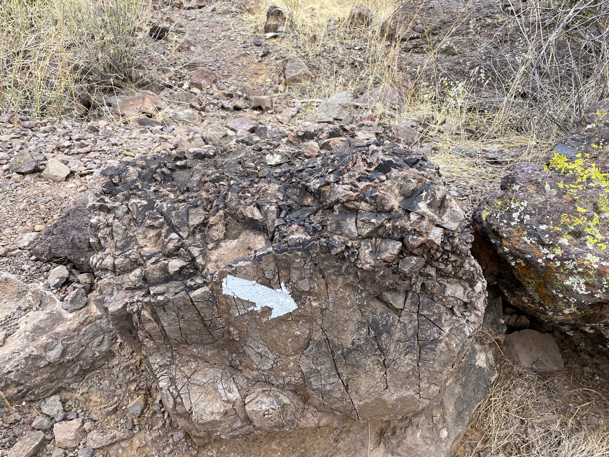
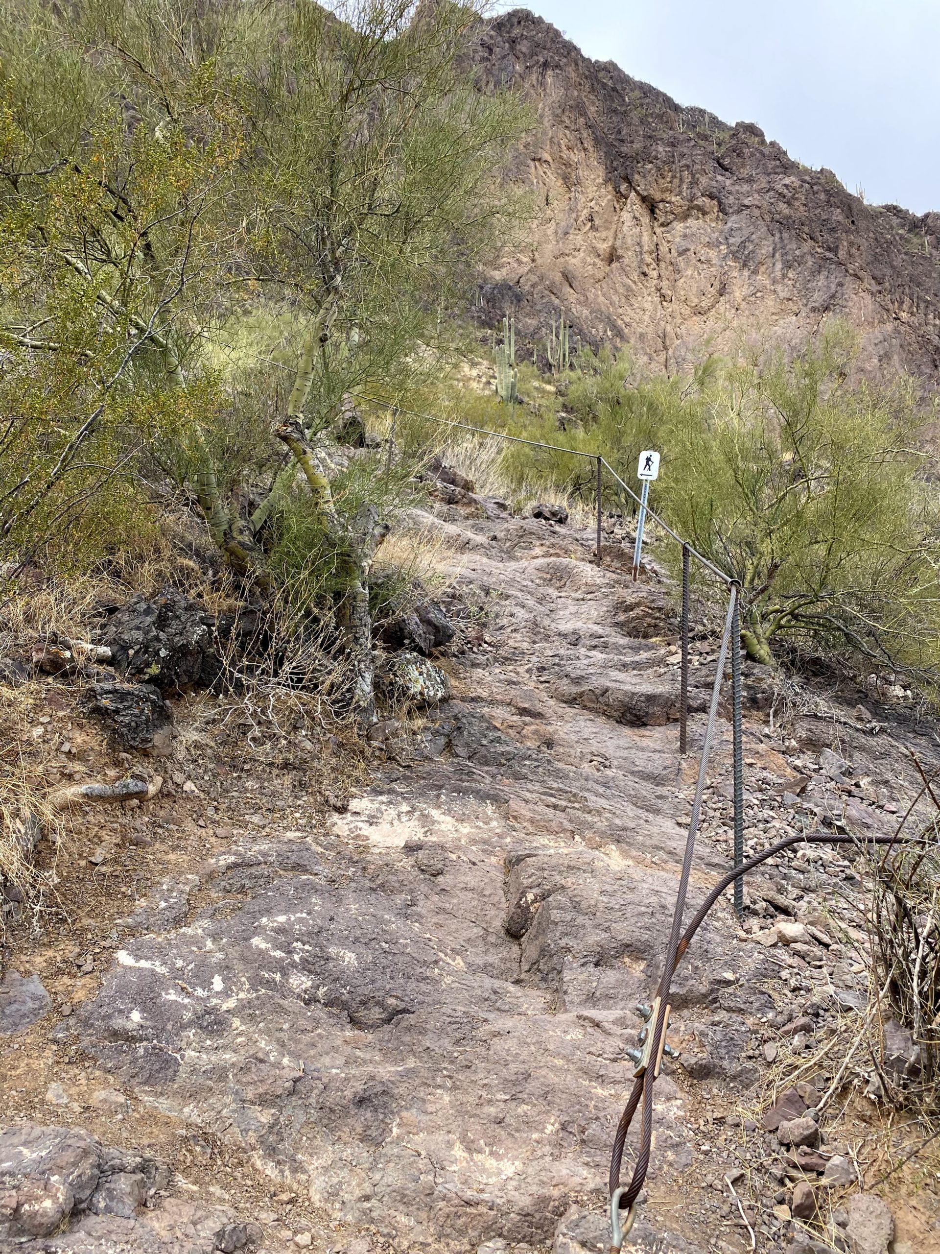
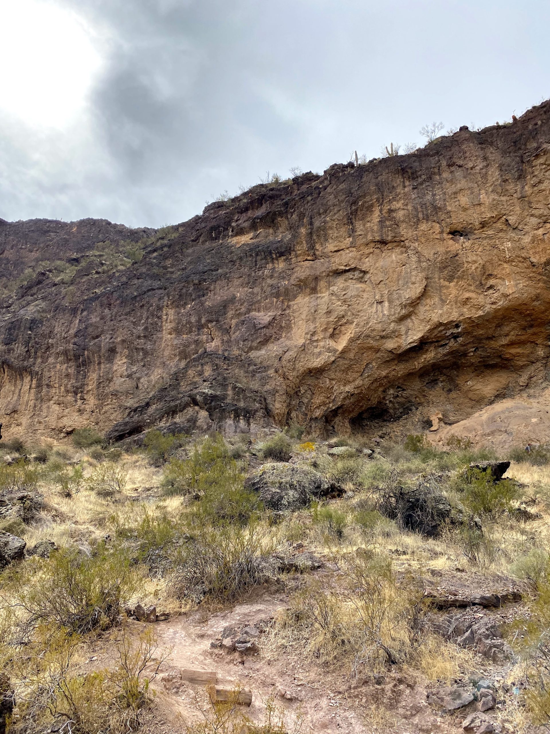
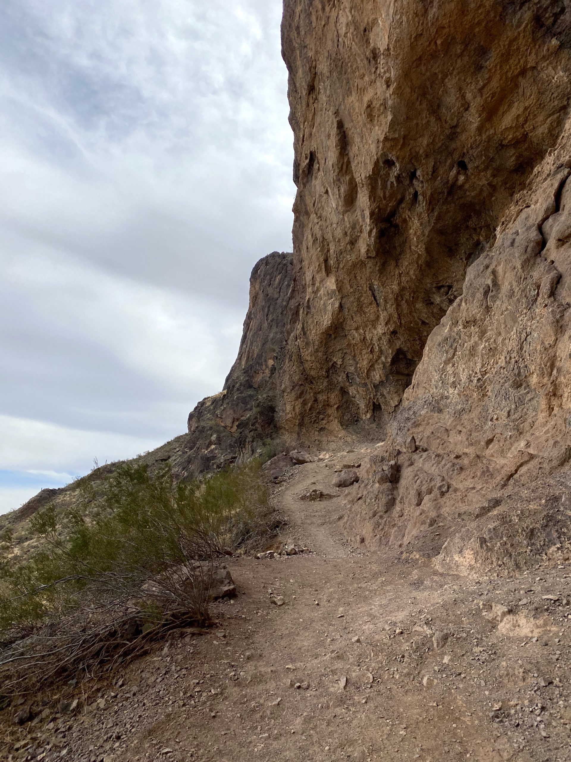
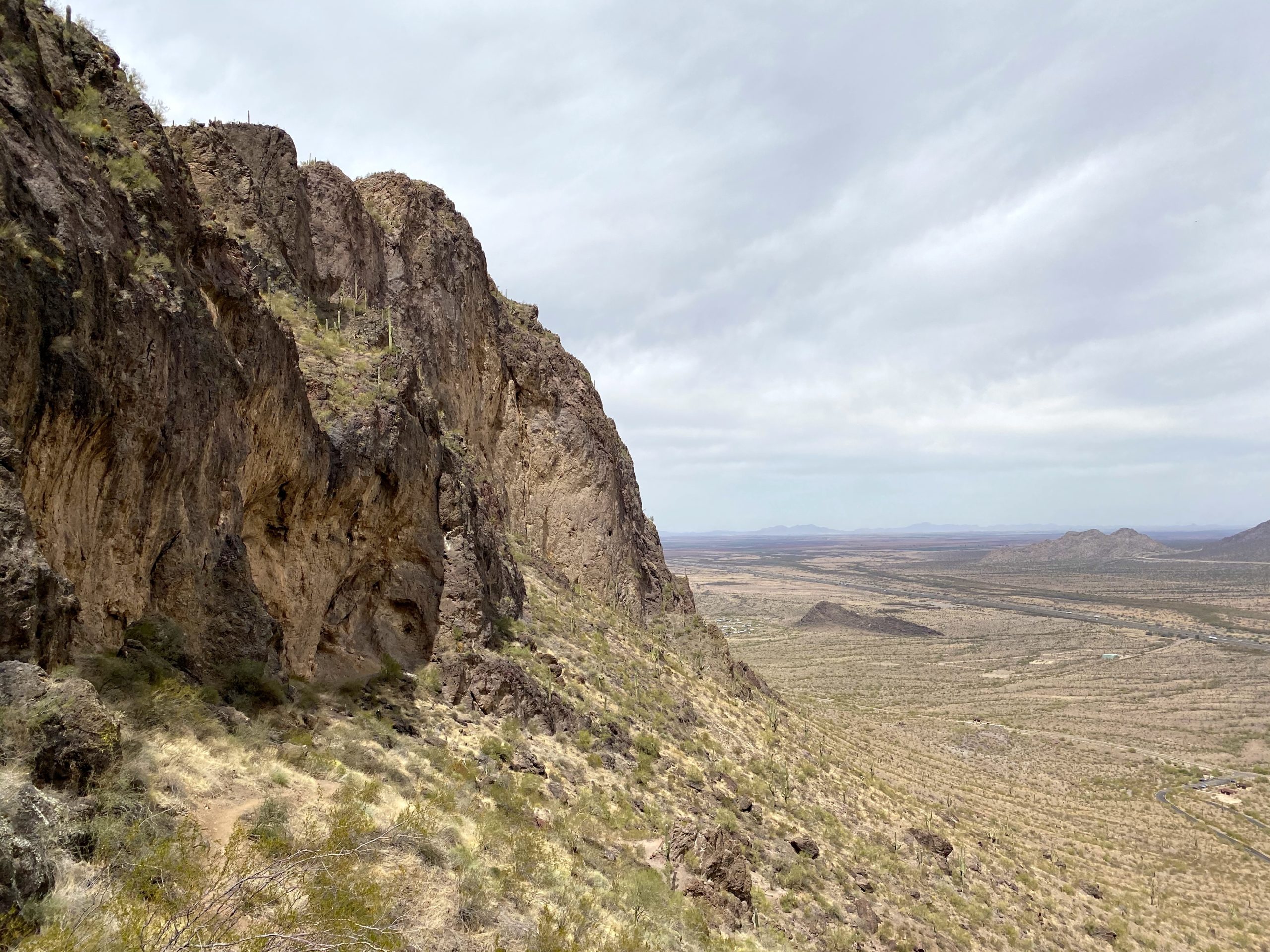
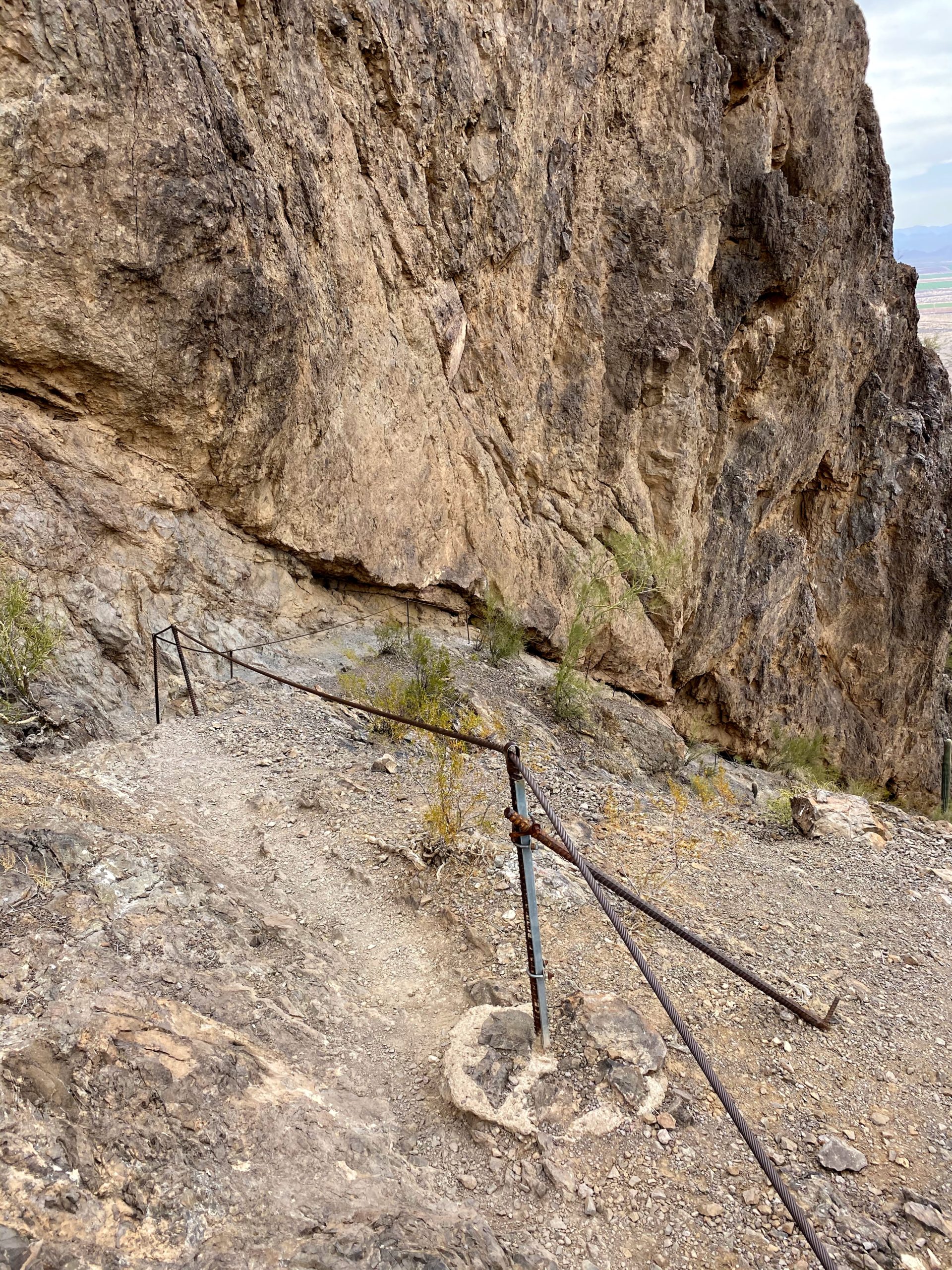
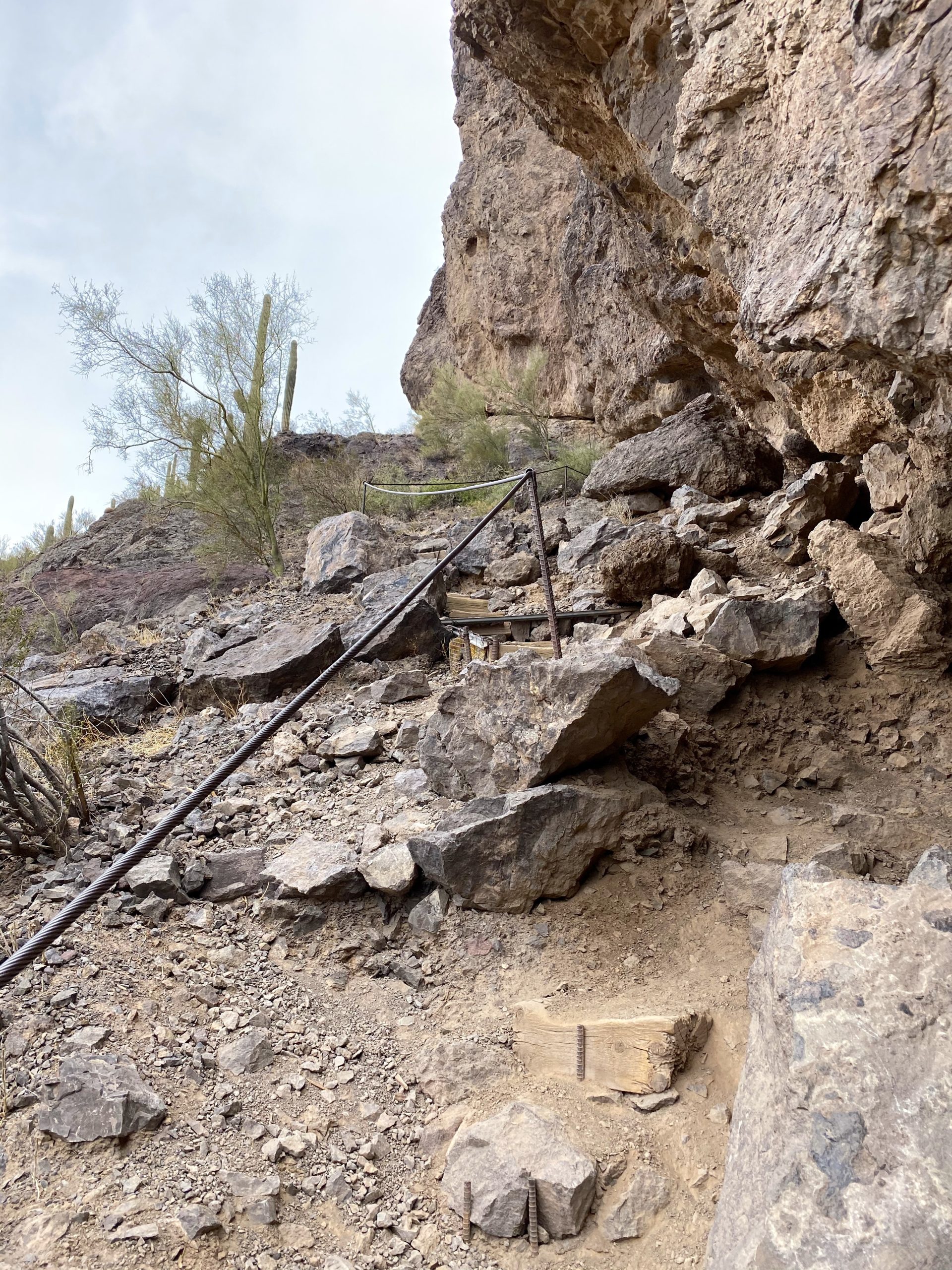
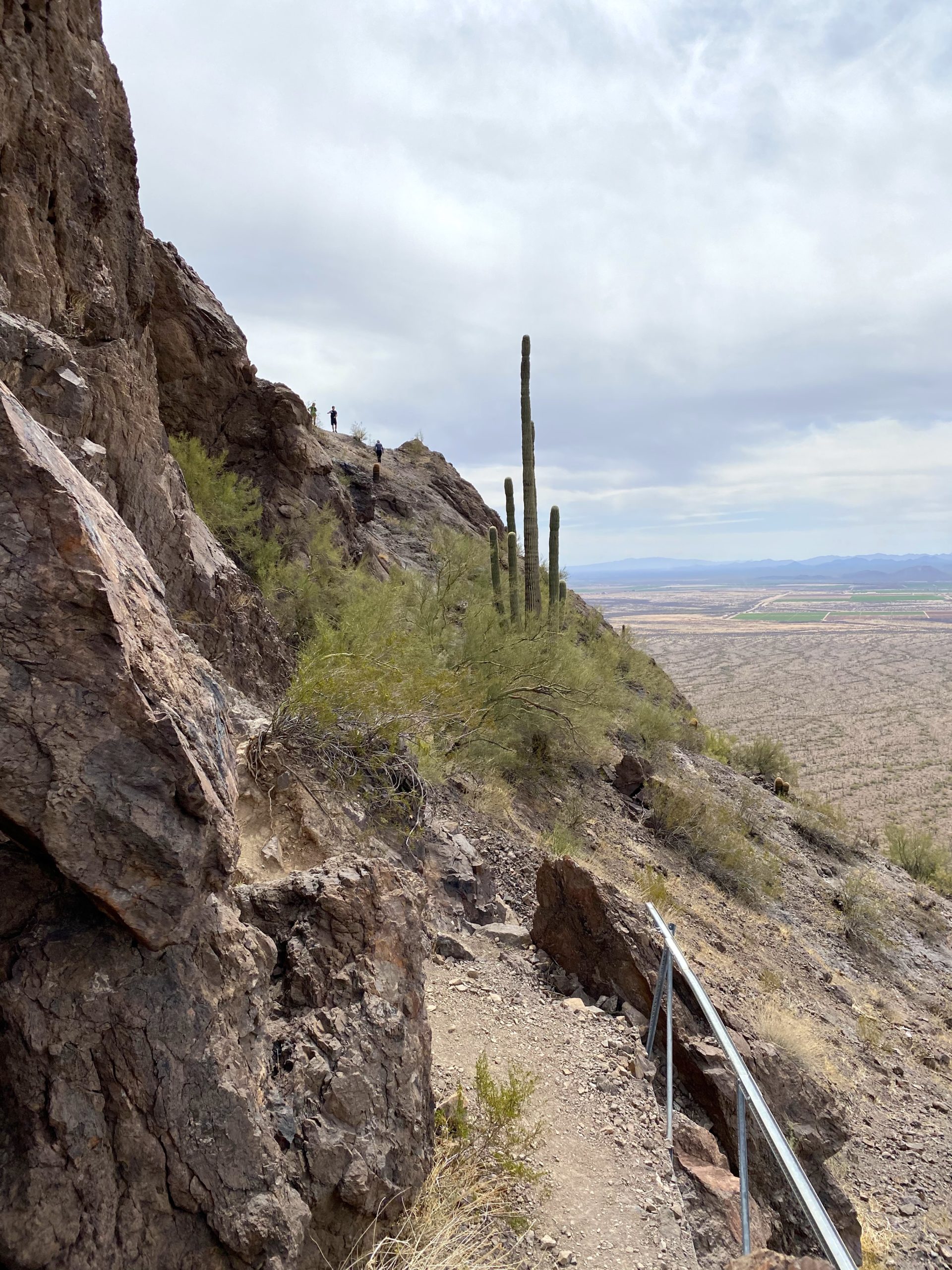
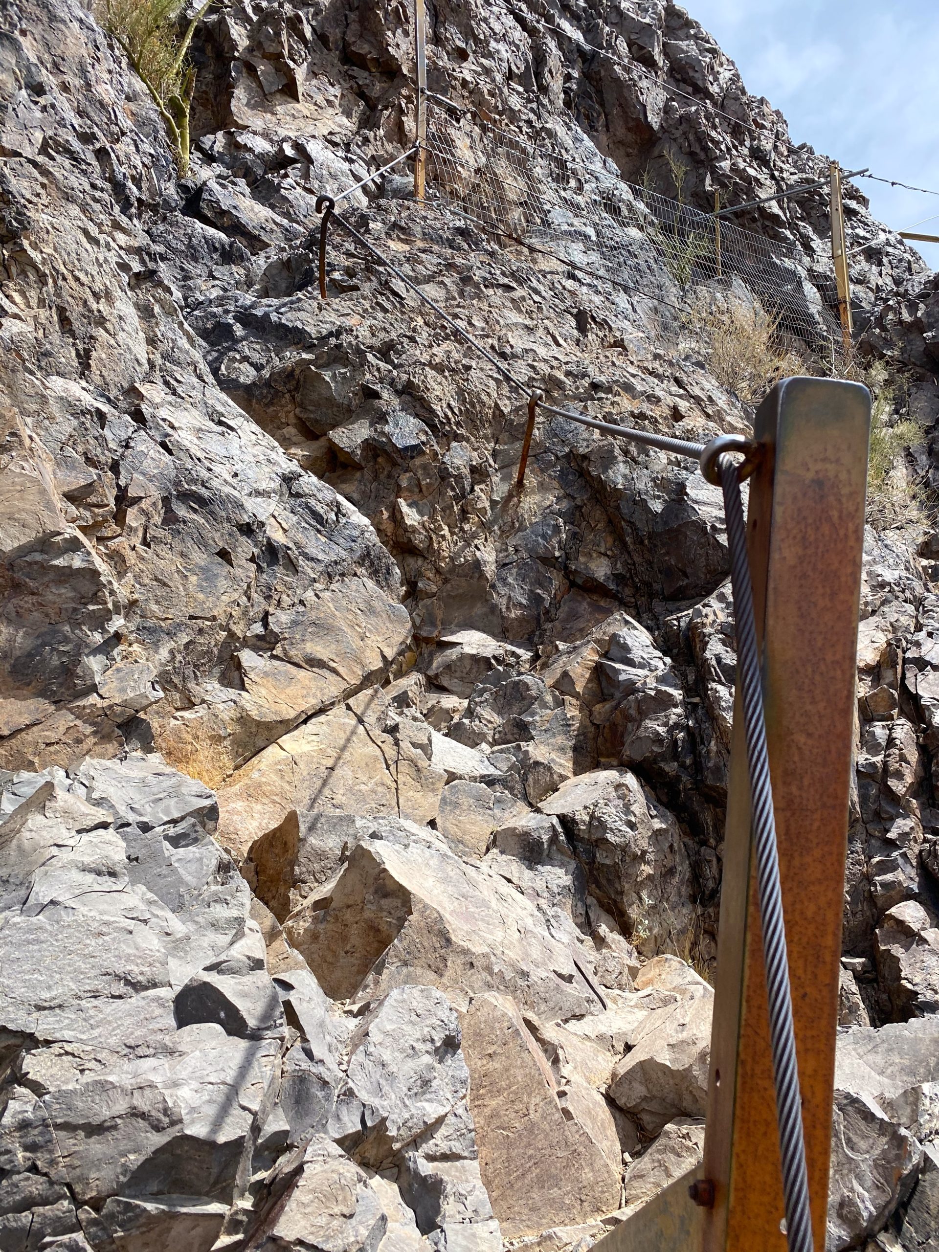
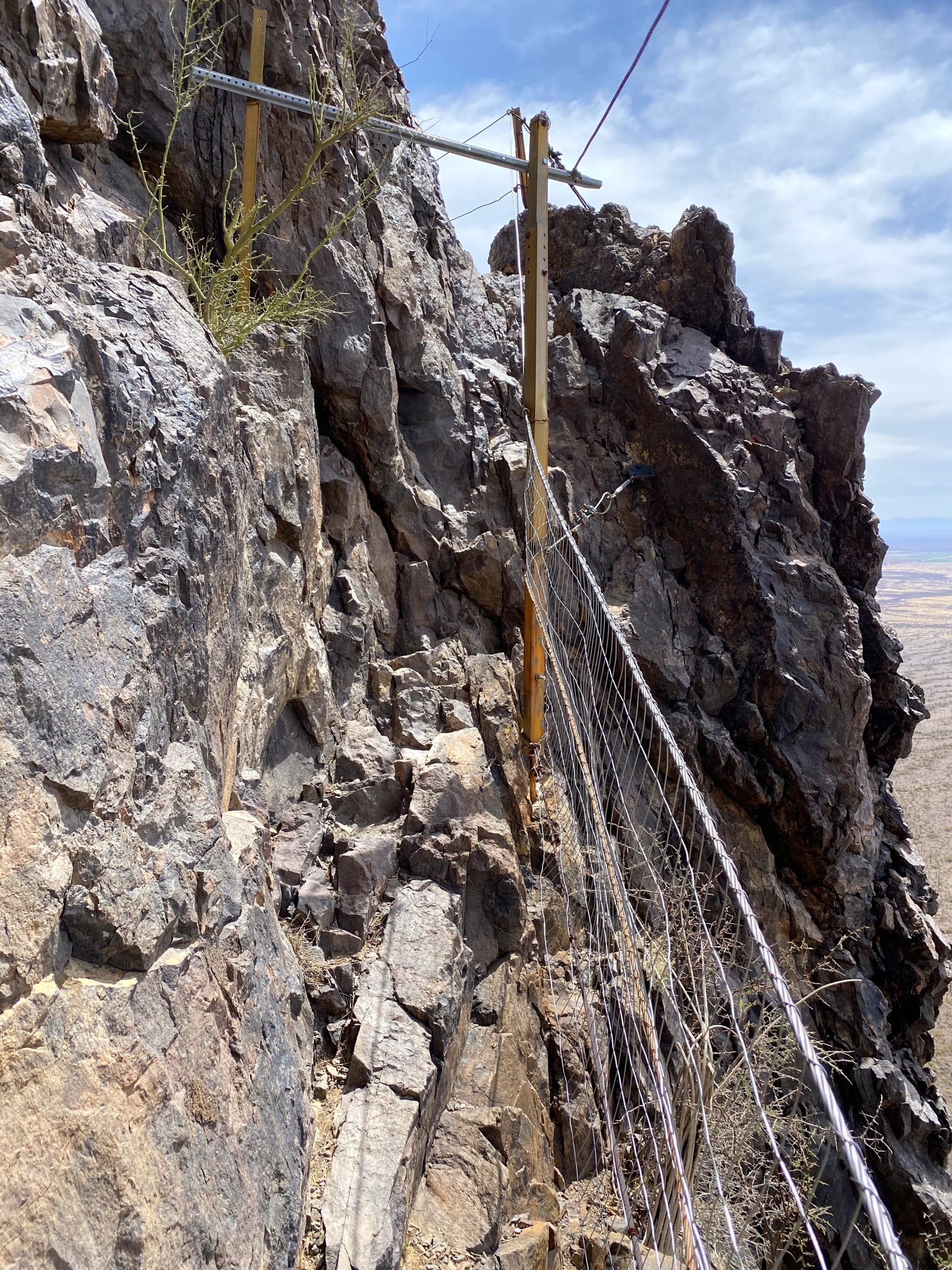
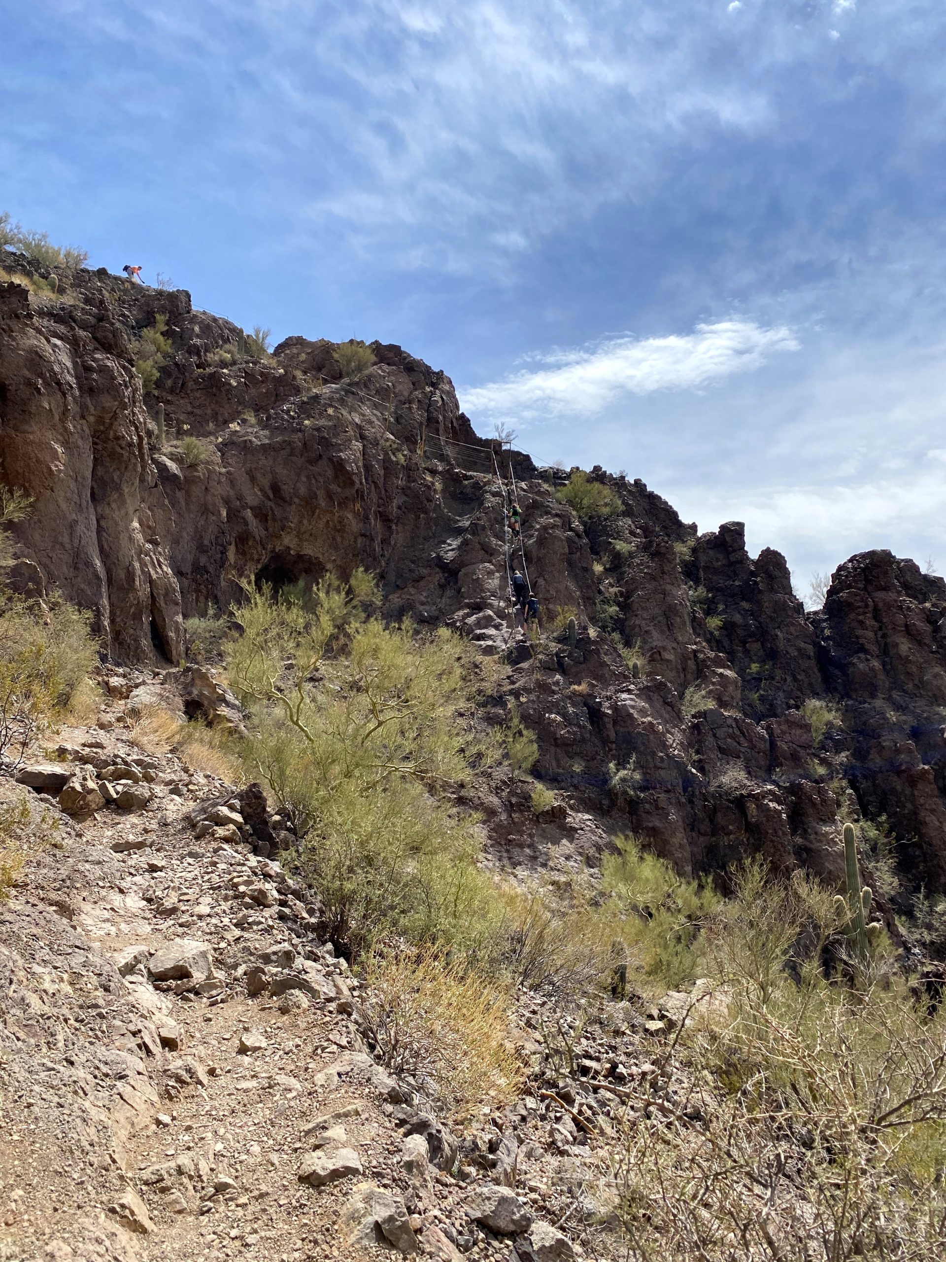
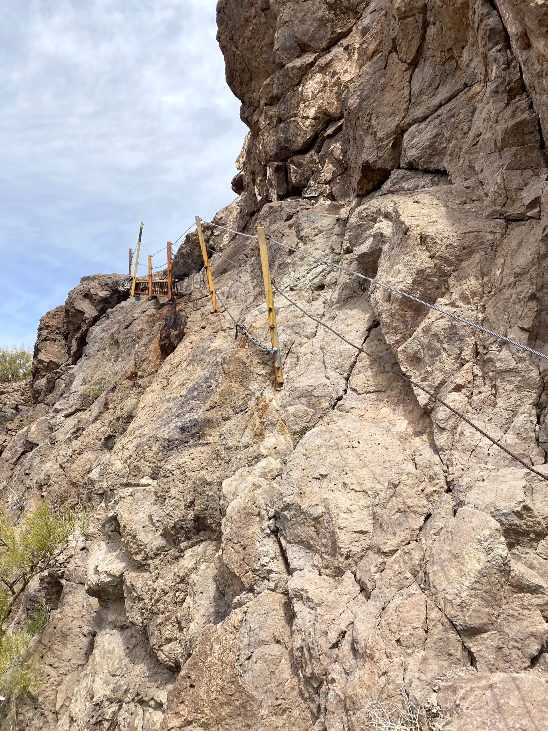
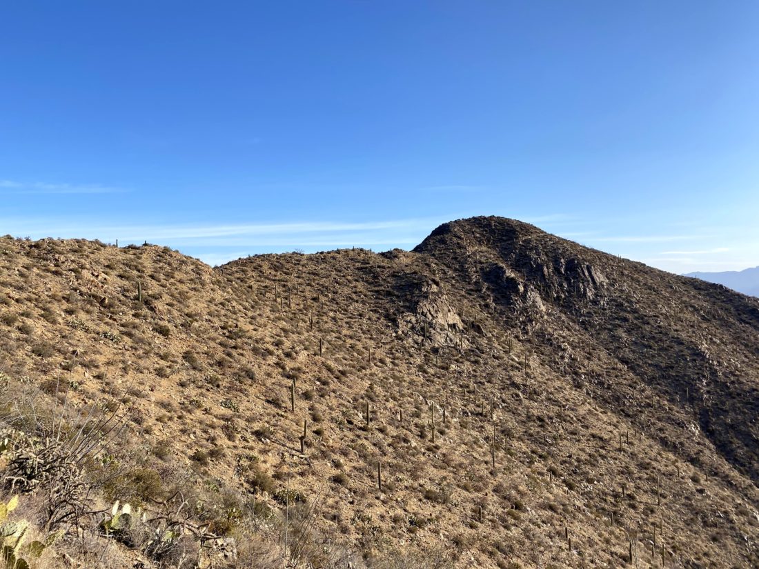
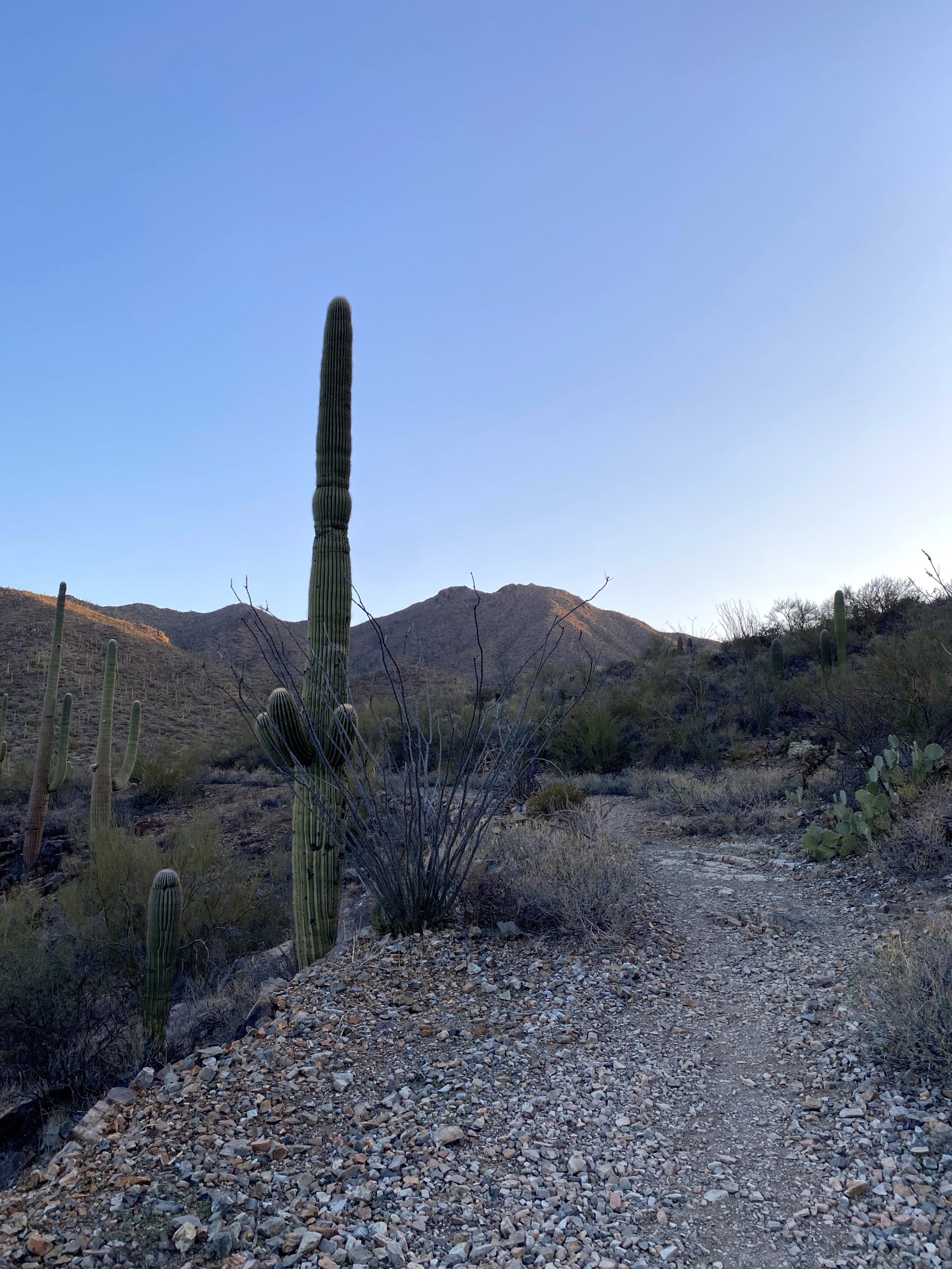
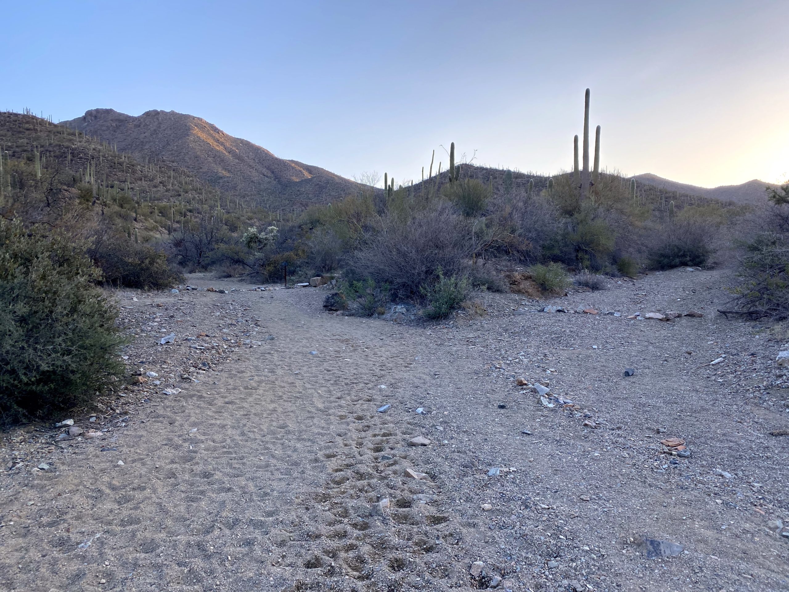
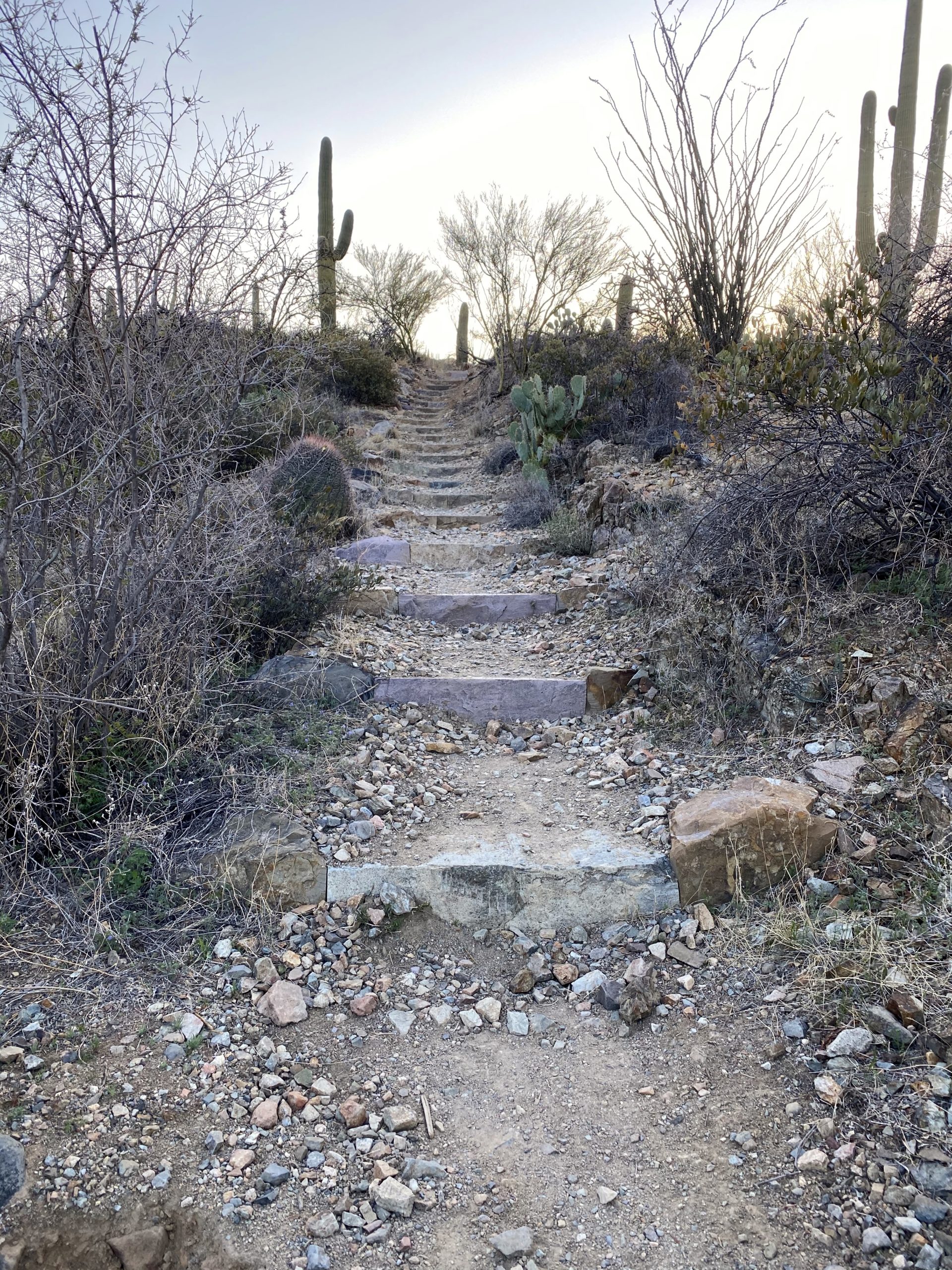
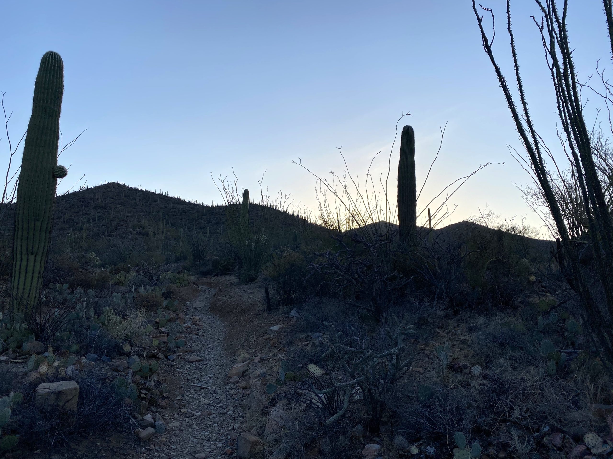
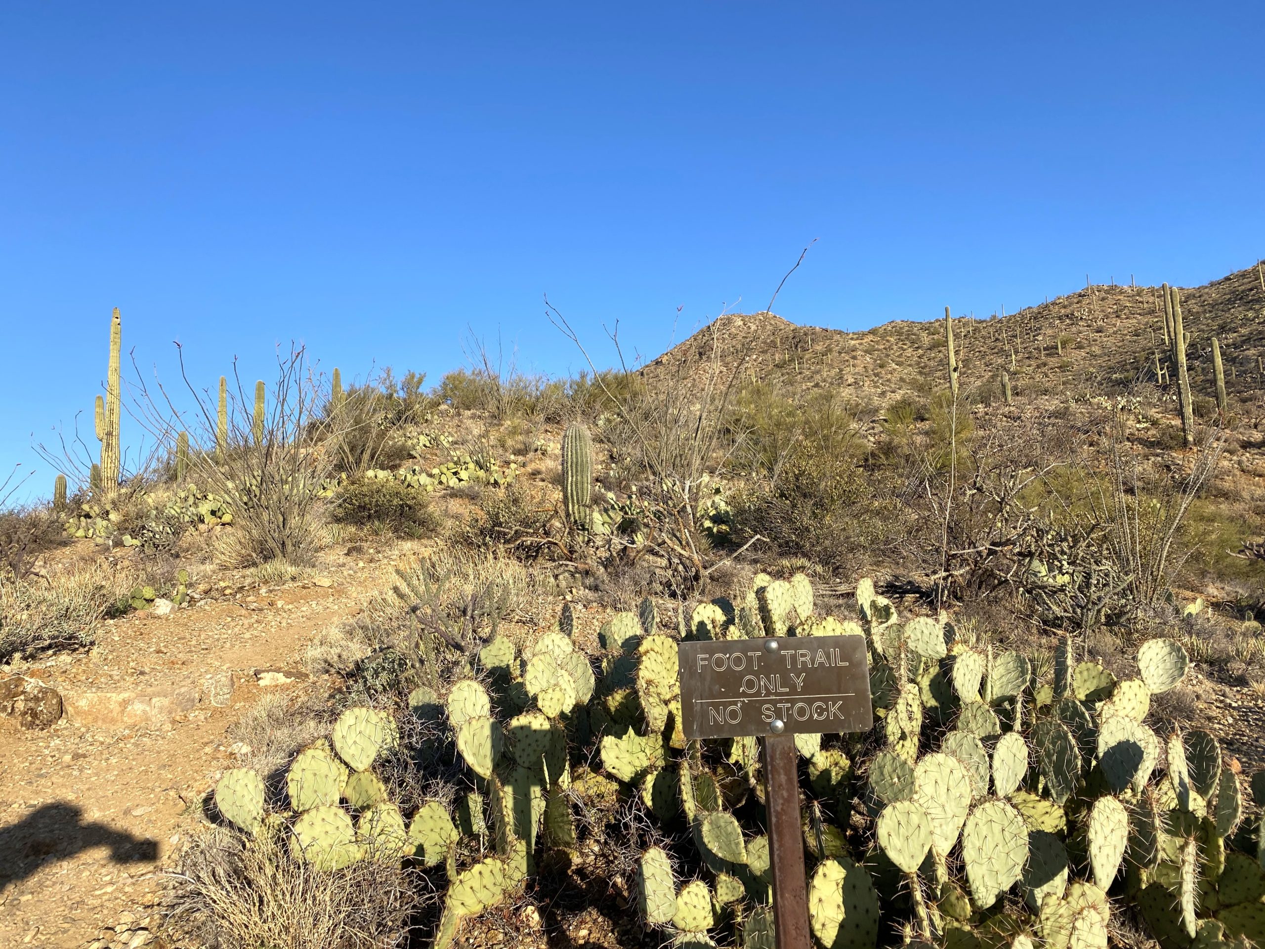
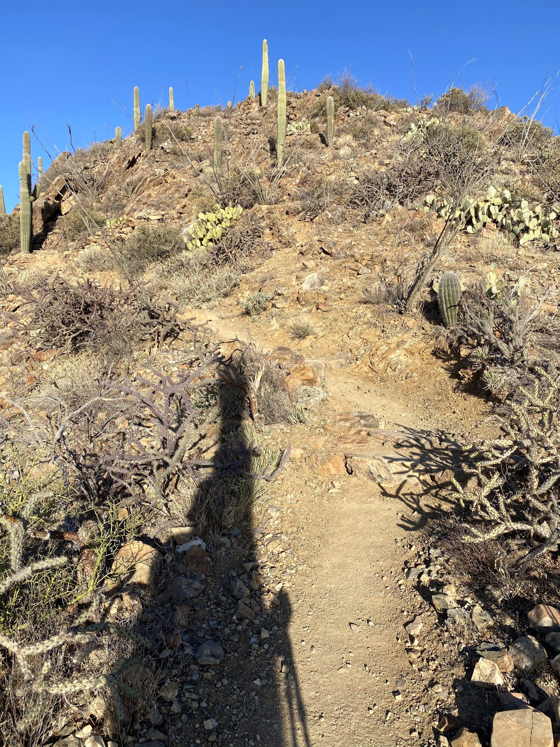
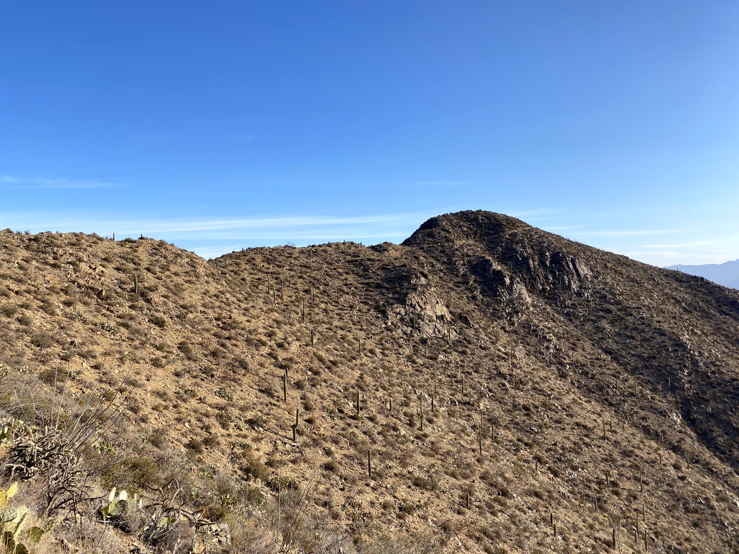
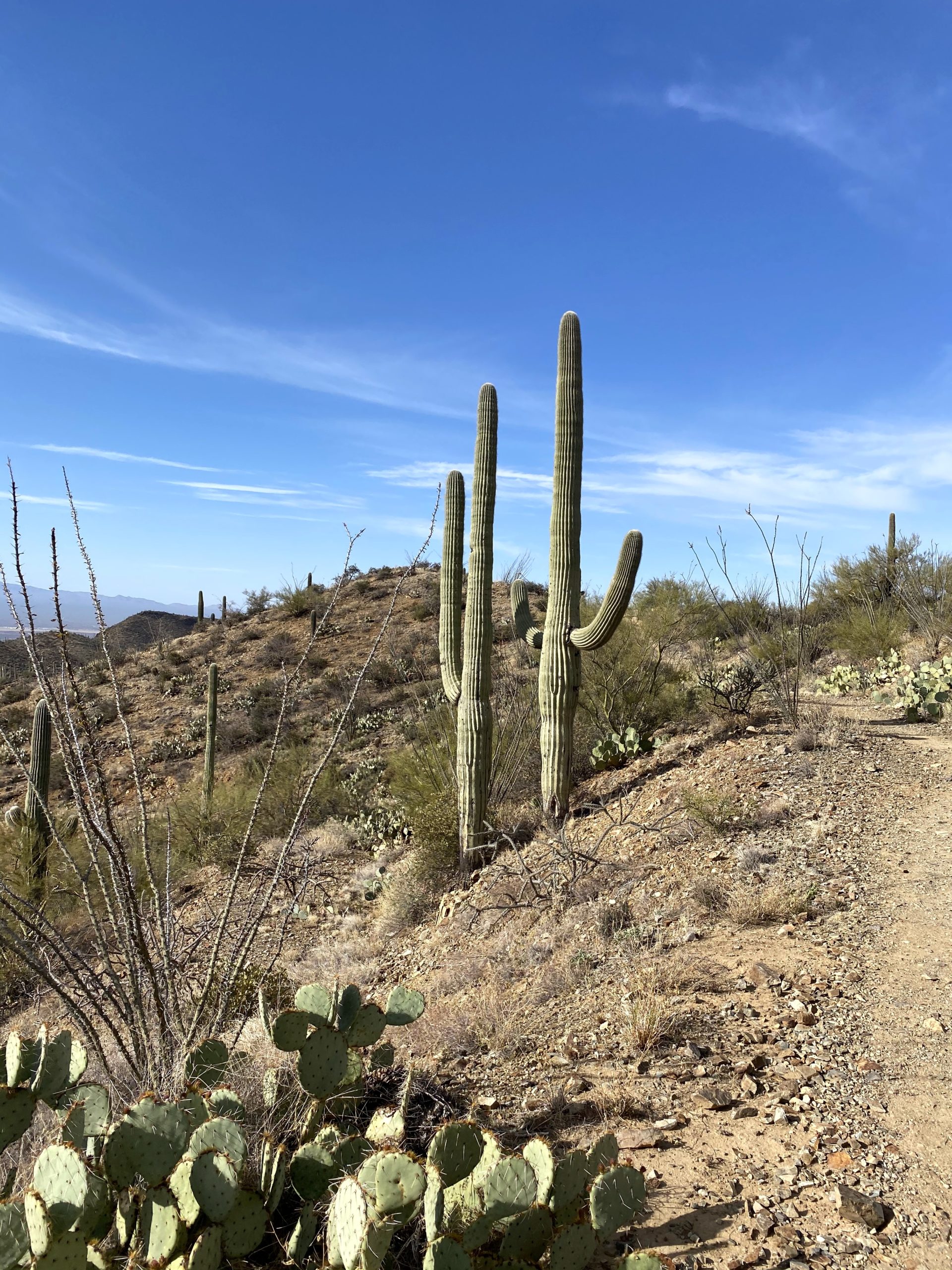
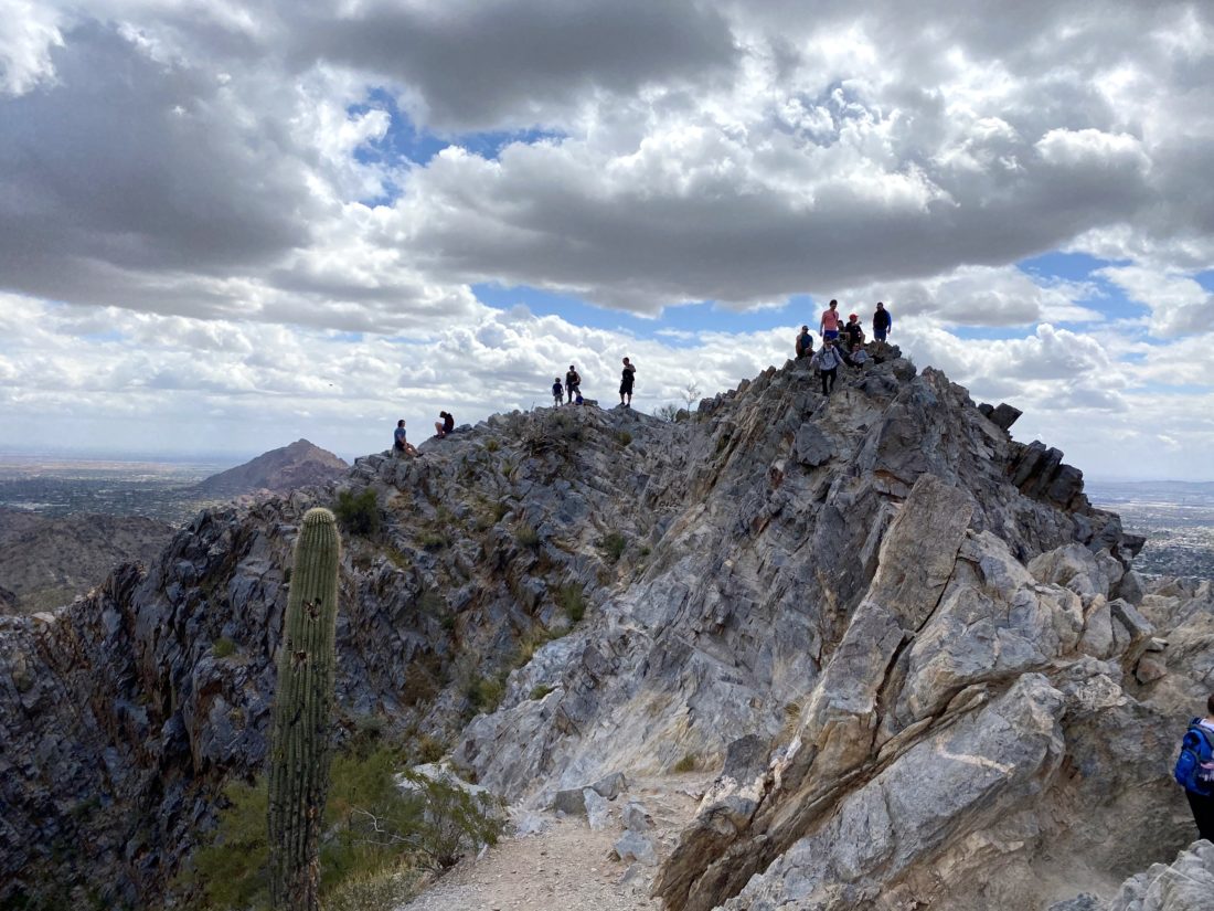
The beginning of the trail is wide and has constructed steps and cement curbs. There a sign warning hikers about the dangers of heat, and to use headphones. This peak really is the Cowles of Phoenix. I wonder if Camelback is the same? I followed the stream of people along Trail 300-Summit Trail to a saddle around the .5-mile mark. Here, there is a junction with Trail 302. Staying on Trail 300, the climb began to get a bit steeper. Hikers and tourists would pass me coming down from the peak. The rocky trail would have a few sections of railing, but after climbing Picacho Peak, this seemed overkill, but given the level of traffic on this trail, necessary. After the final push I was on the summit. Given how crowded it was I did not stay long. In fact I did not bother to photograph the benchmark (I knew it was heavily scarred).
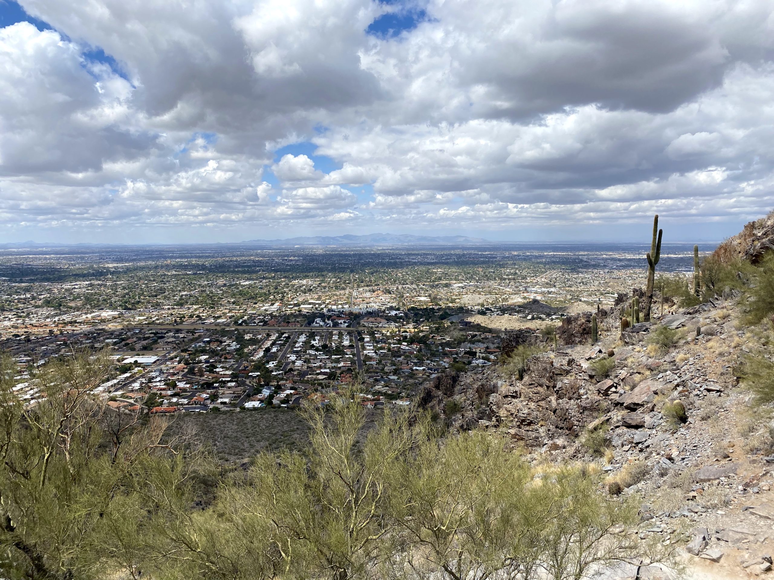


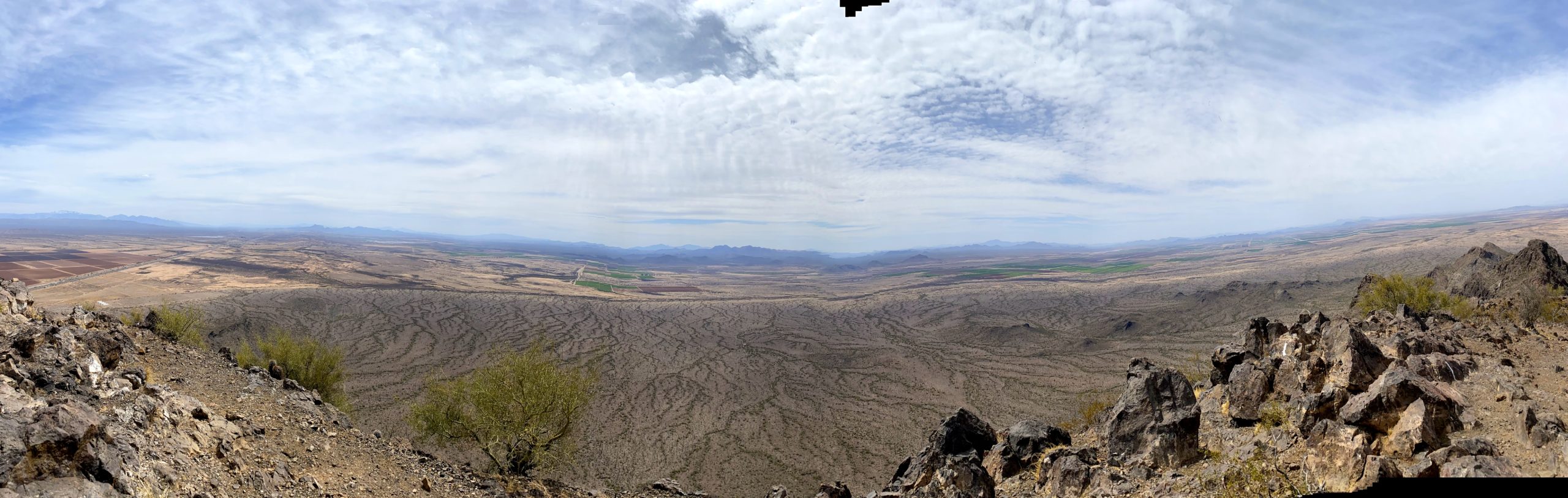
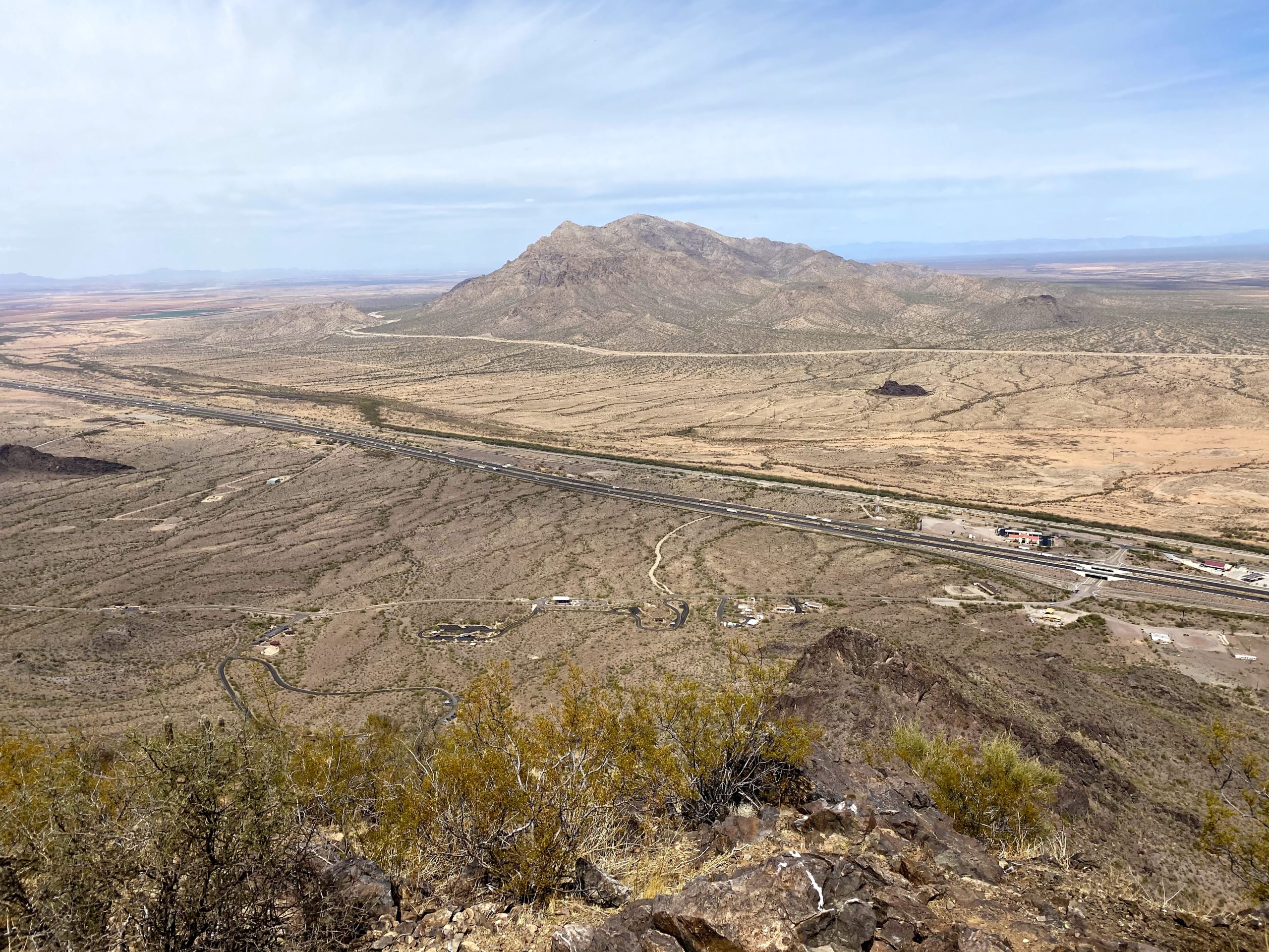
I took my photos and set off back down. Having to keep my face covering on due to crowds did mean I drank less than usual, and I could tell the difference. Soon I was back at my car and could properly rehydrate. All told, I did the 1.97 miles in 1:46 and climbed 1,125 feet. Now for a shower and the 6-hour drive home.


I am an avid peak bagger, sometimes backpacker, and former sea kayaker living in San Diego. I am the co-author of Urban Trails: San Diego, coming in Spring 2026!
In 2019, I became the third person to complete the San Diego 100 Peak Challenge. Not stopping with that accomplishment, I set my sights on the harder San Diego Sierra Club 100 Peak list, which I completed in 2021. In addition, I have conquered several Six-Pack of Peaks challenges (SoCal, San Diego, Central Coast, and both the Arizona-Winter and Arizona-Summer).
I am looking forward to exploring new summits and new adventures across the southwest.