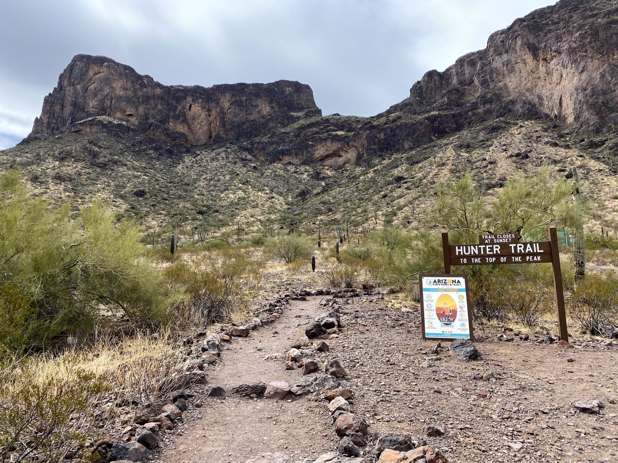
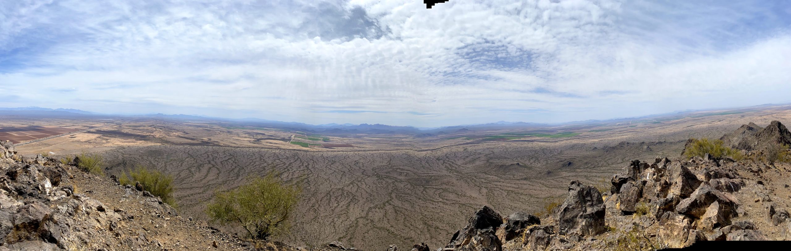
After summiting Wasson Peak in the morning, my next climb was Picacho Peak. I had driven past it the day before, and in looking at it I couldn’t tell how there’s possibly a trail to the top. While the entire hike was going to be just two and a half miles, it was going to be an adventure. I paid my $7 entrance fee at the visitor center and continued on to the parking lot. The main lot was full, so I parked about .3 mile away. I changed into cooler shorts and refilled my water bladder before setting off down the road. Sure enough, as I reached the main lot, two parking spots opened. Oh well..
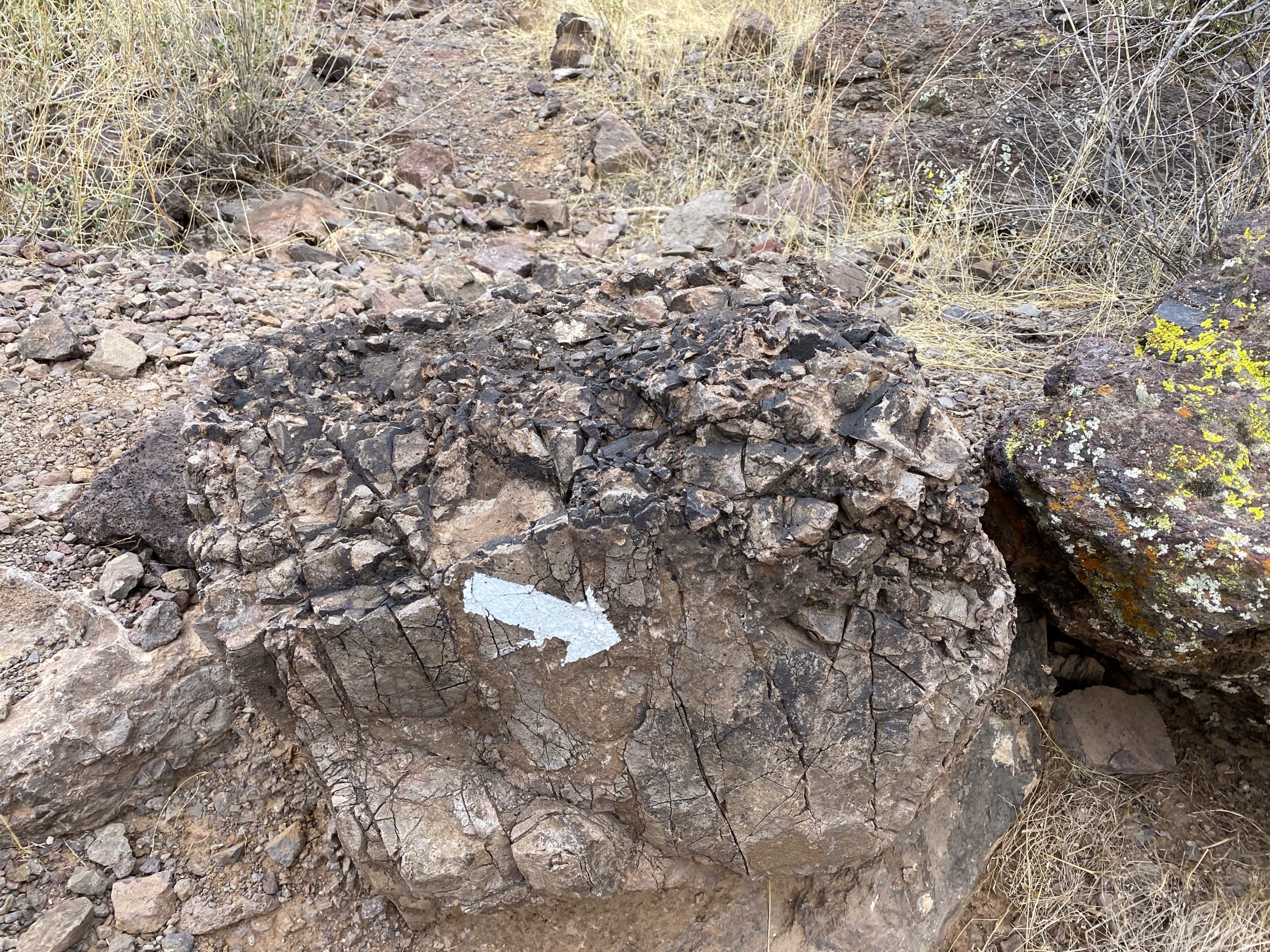
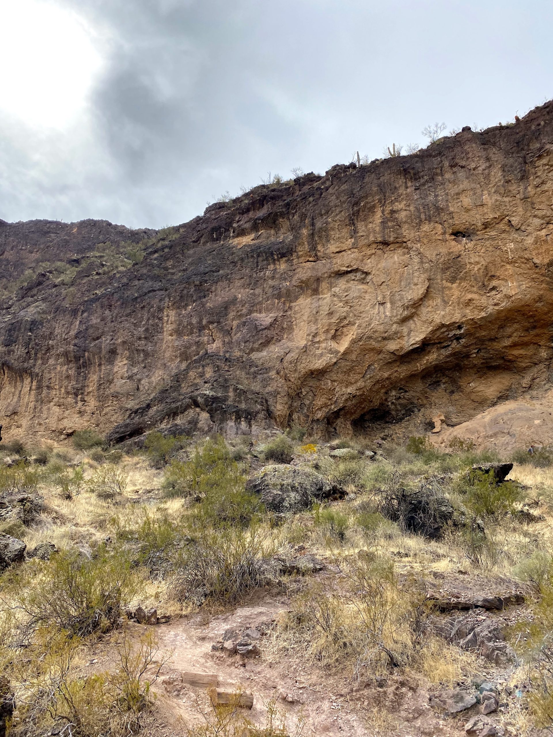
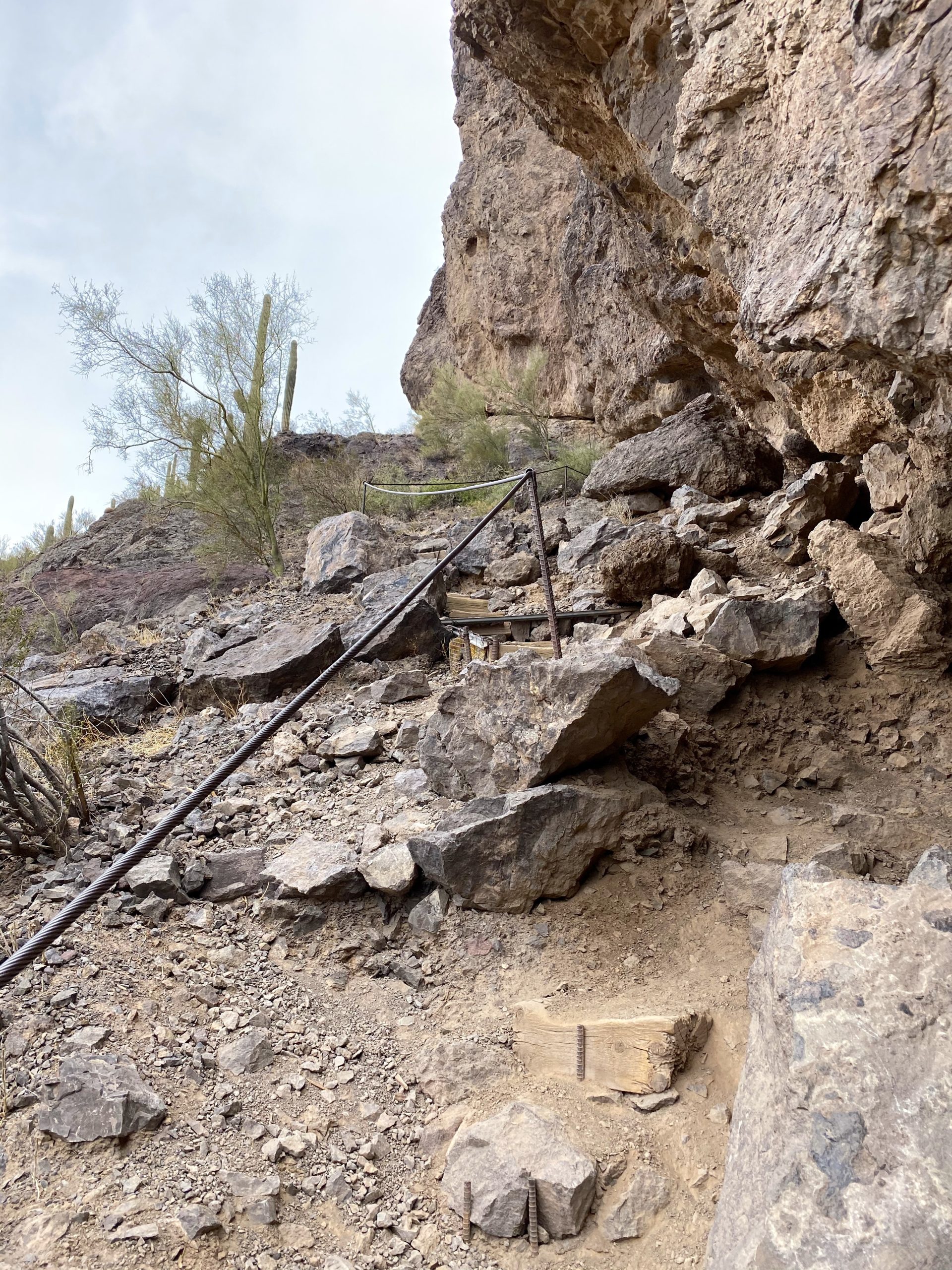
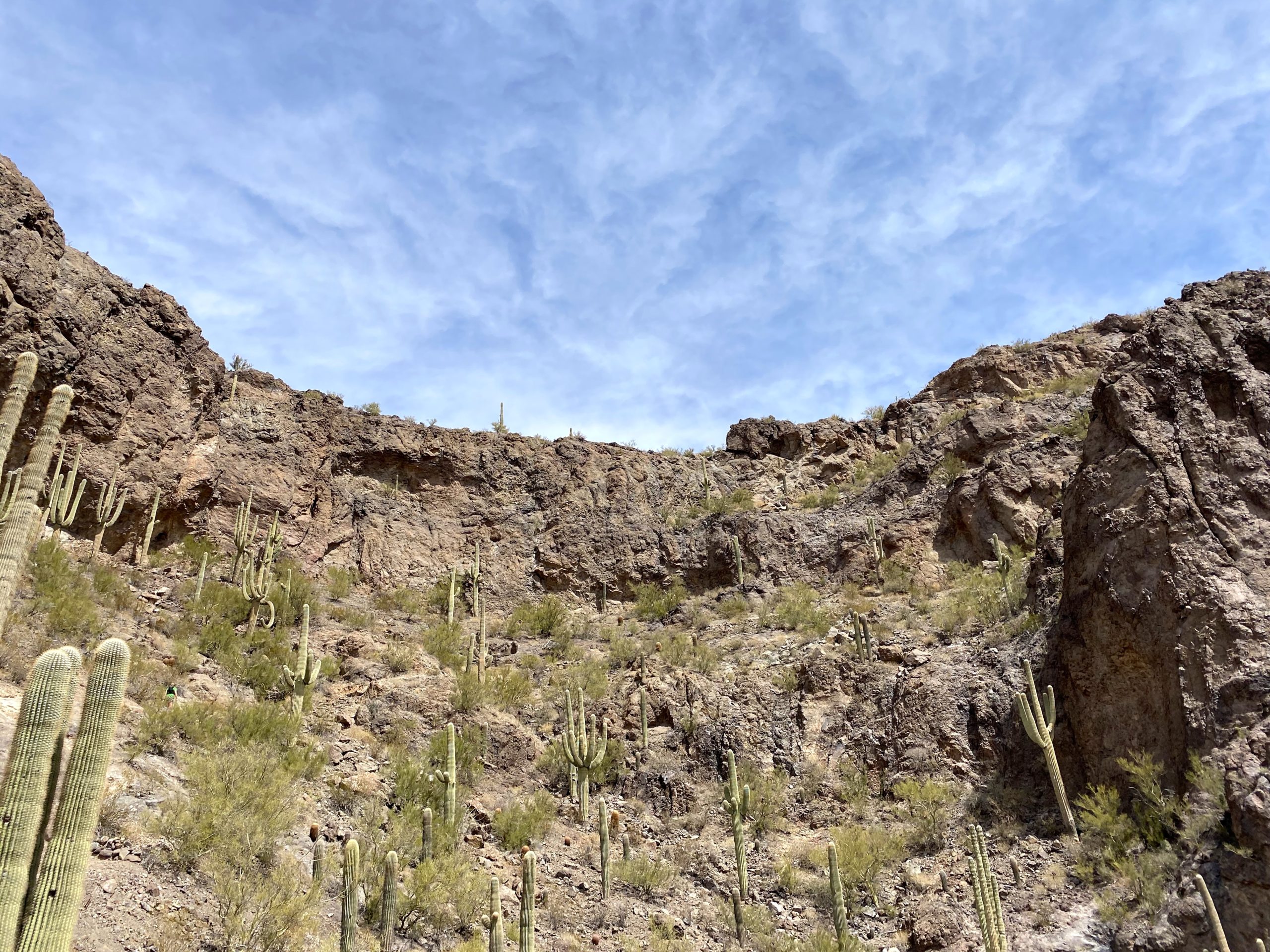
I followed the signs to the Hunter Trail and began my climb. It starts off relatively easy for .5 miles, gently climbing up toward the rock wall looming ahead of you. As I approached the rock wall, the trail turned south and hugged its base. Around 0.65 miles in, I reached a section with a slight overhang which formed a shallow cave. The trail now doubled back on itself and then reached a saddle. There were a few folks hanging out here, enjoying the views, and I snapped a group photo for some fellow hikers. I took a short rest, as the real challenge was about to begin. I put on my climbing gloves, stowed my trekking poles, and set off.
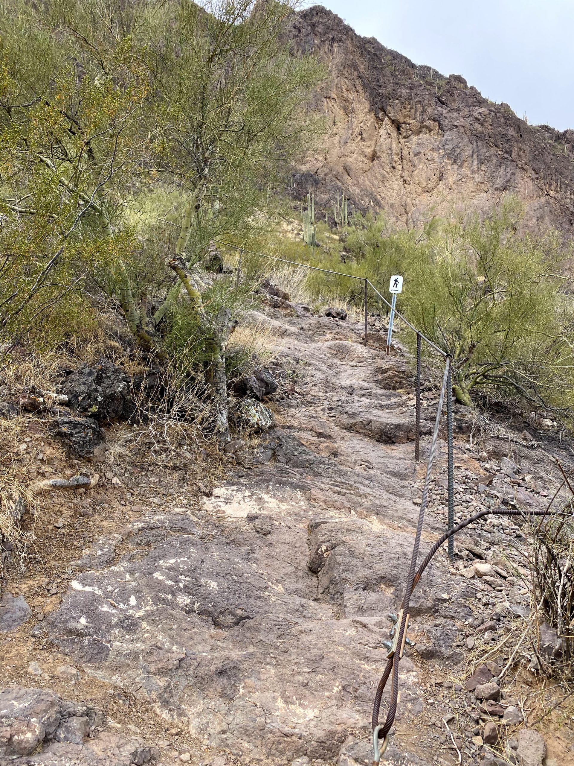
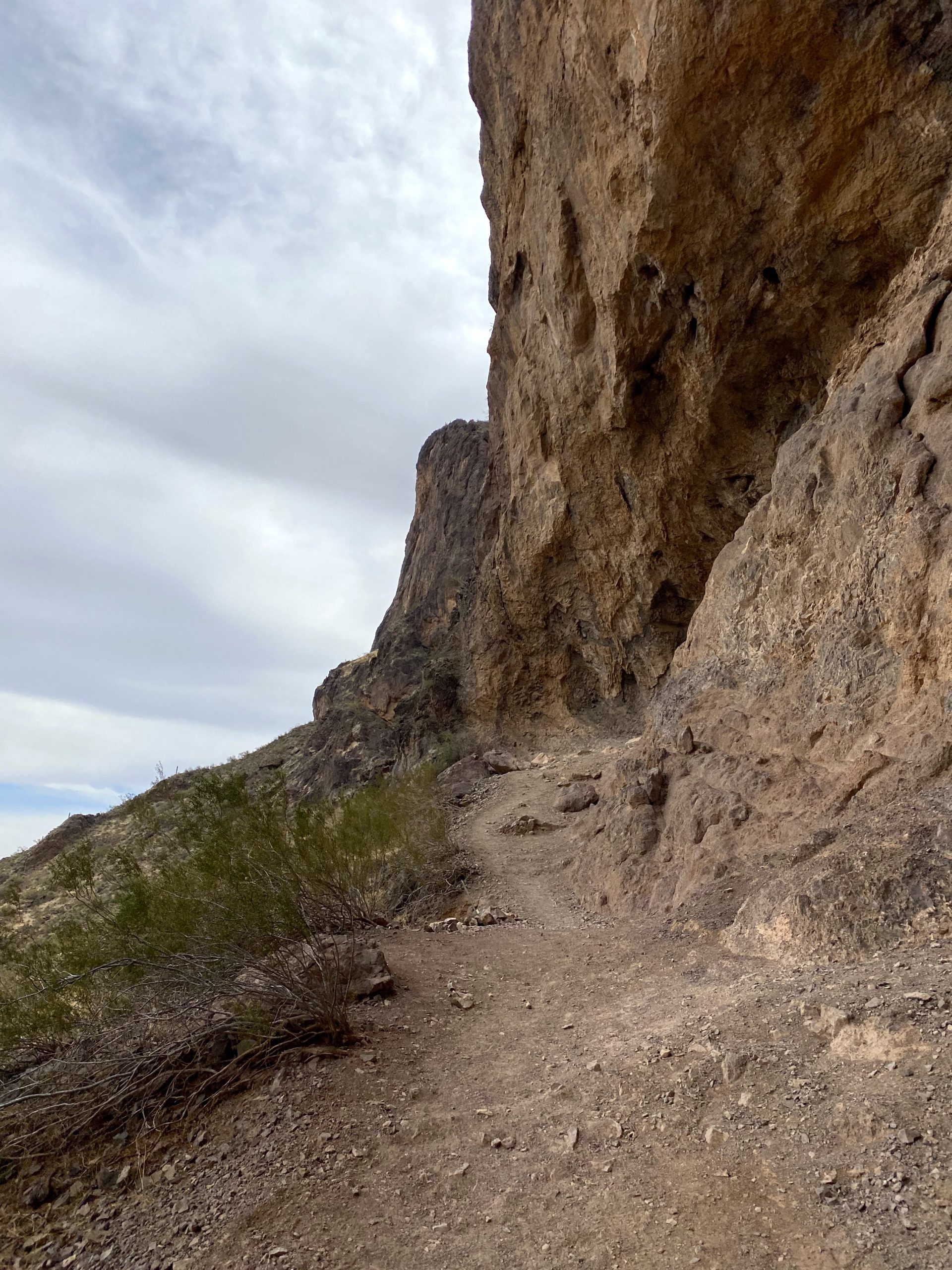

Crossing over the saddle, cables now lined the route. While there was one section before, here they really were needed as the trail curves steeply down along the west face of the wall. All told, I lost some 300 feet of elevation. Photos don’t quite capture the steepness nor the challenge this can pose.
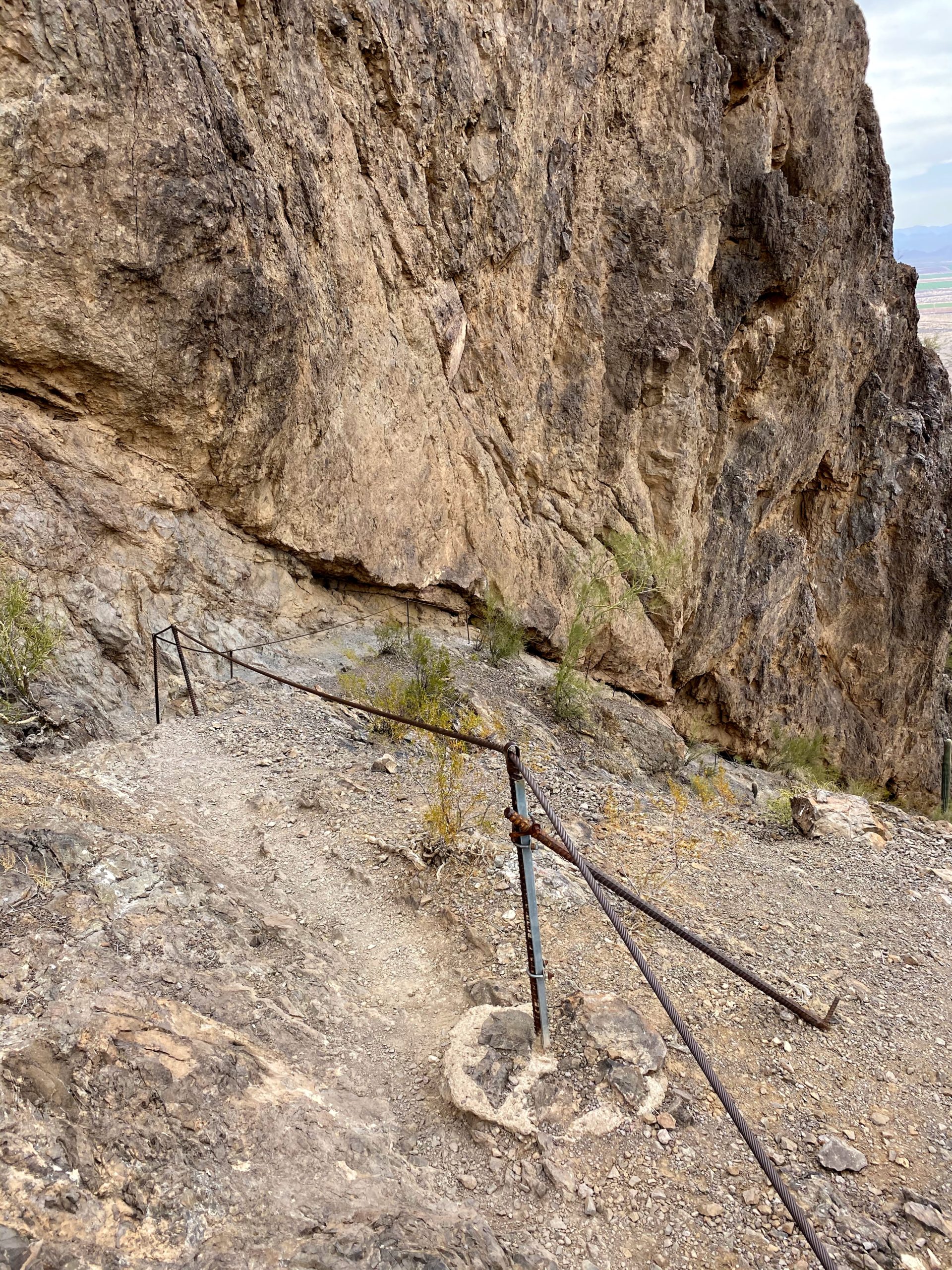
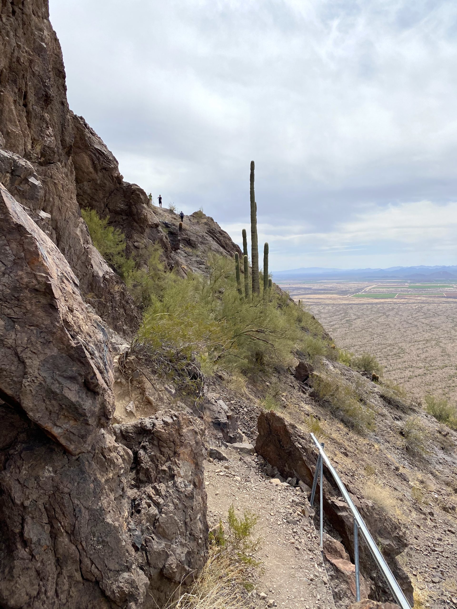
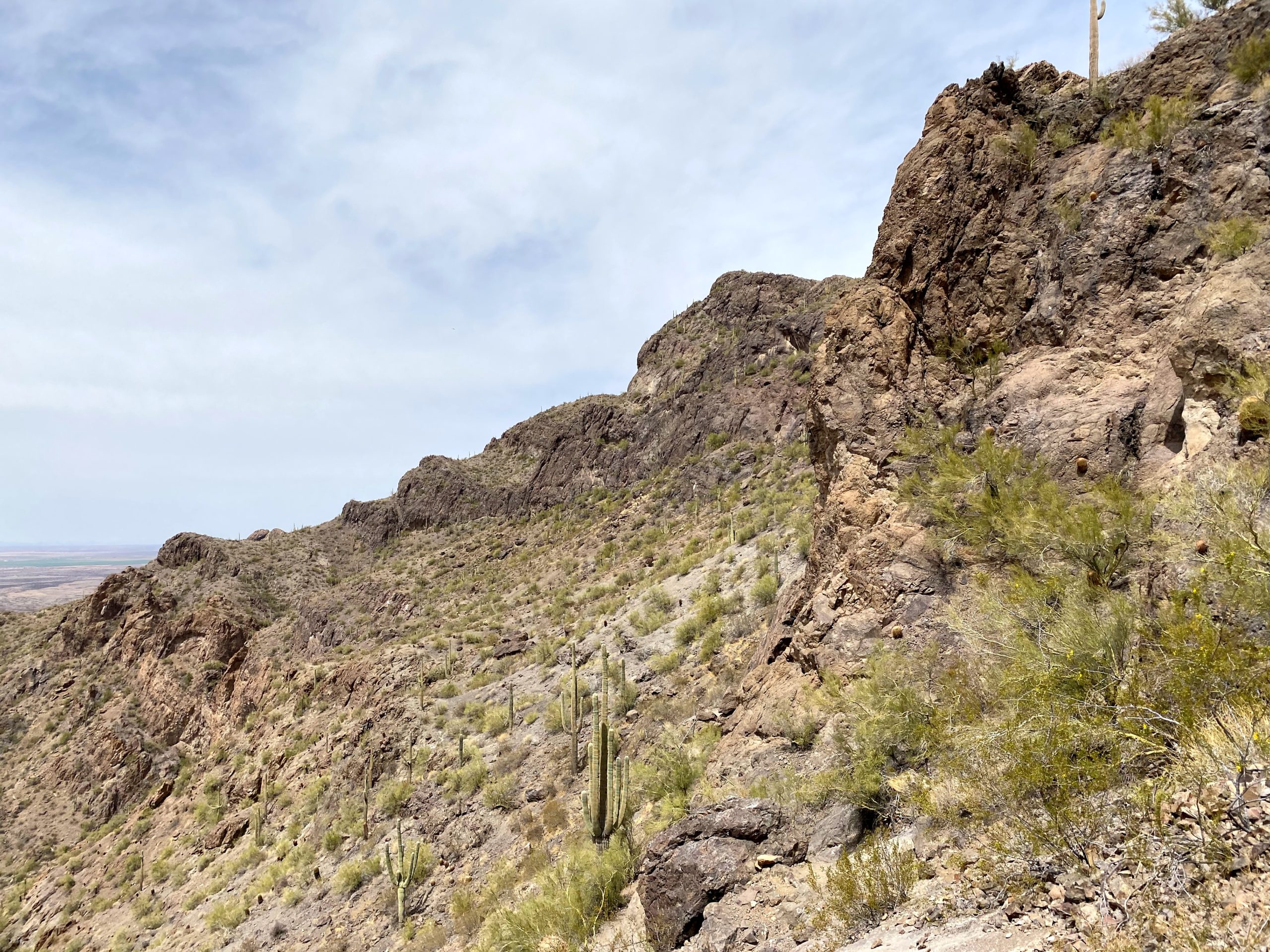

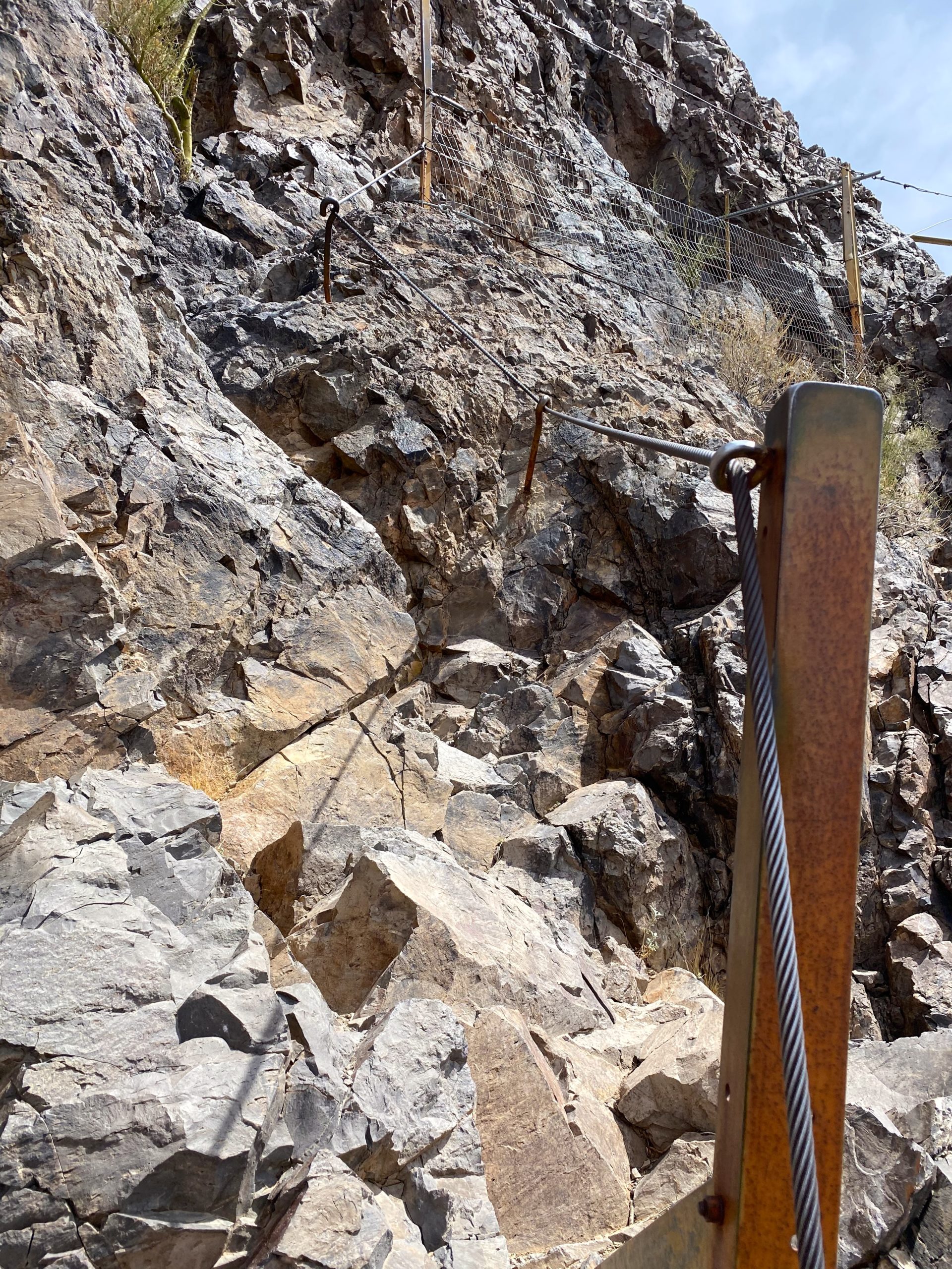
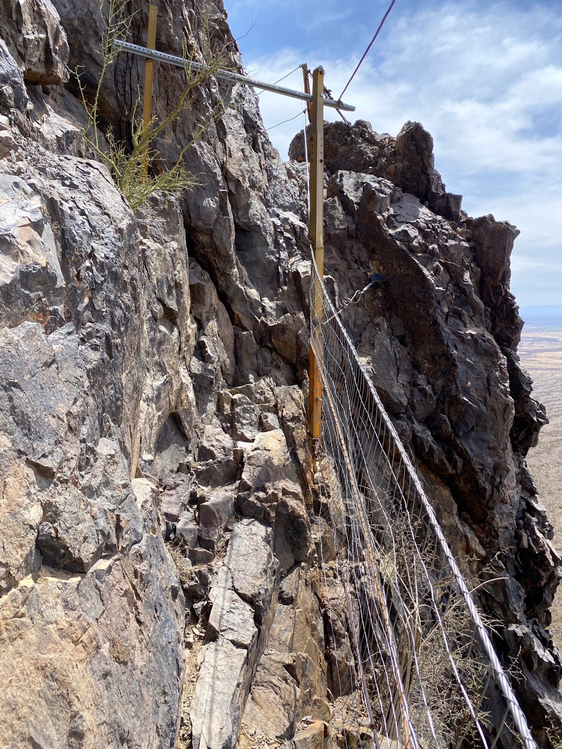
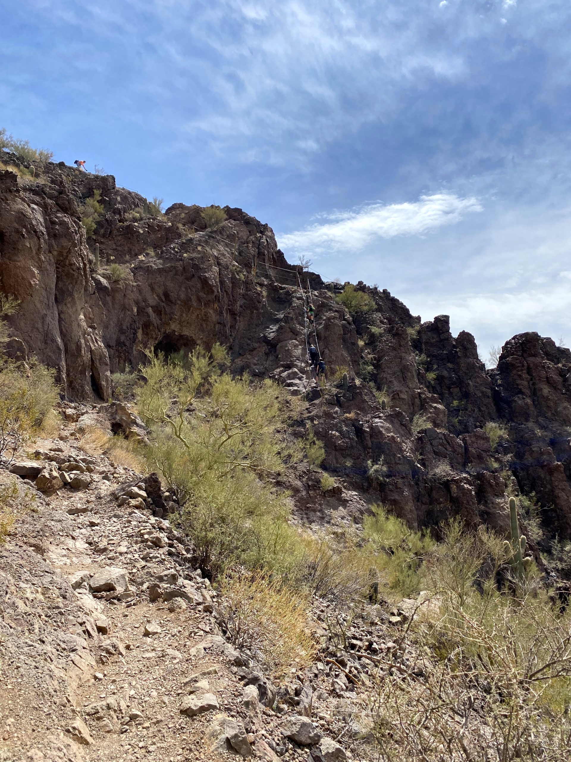

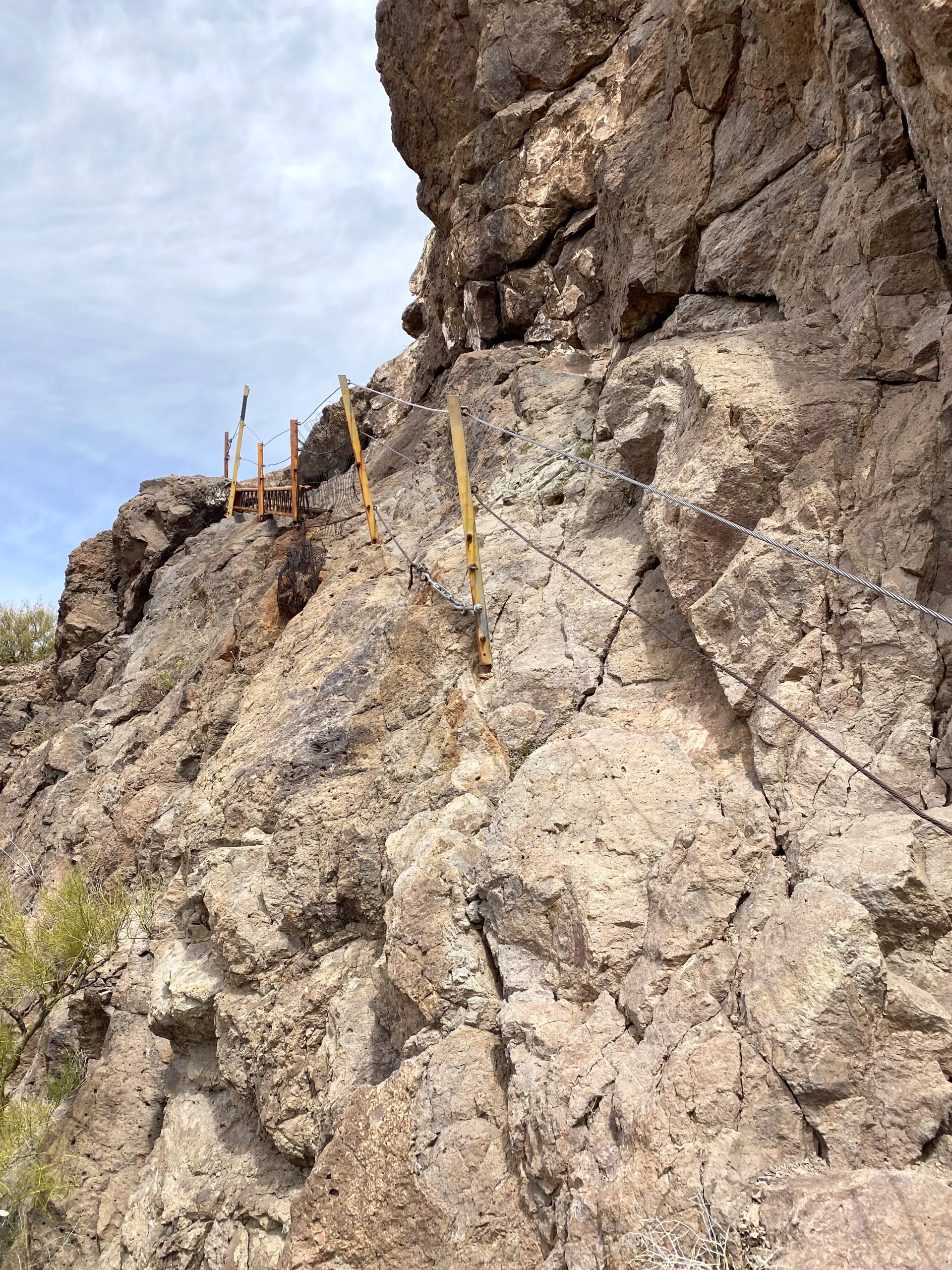
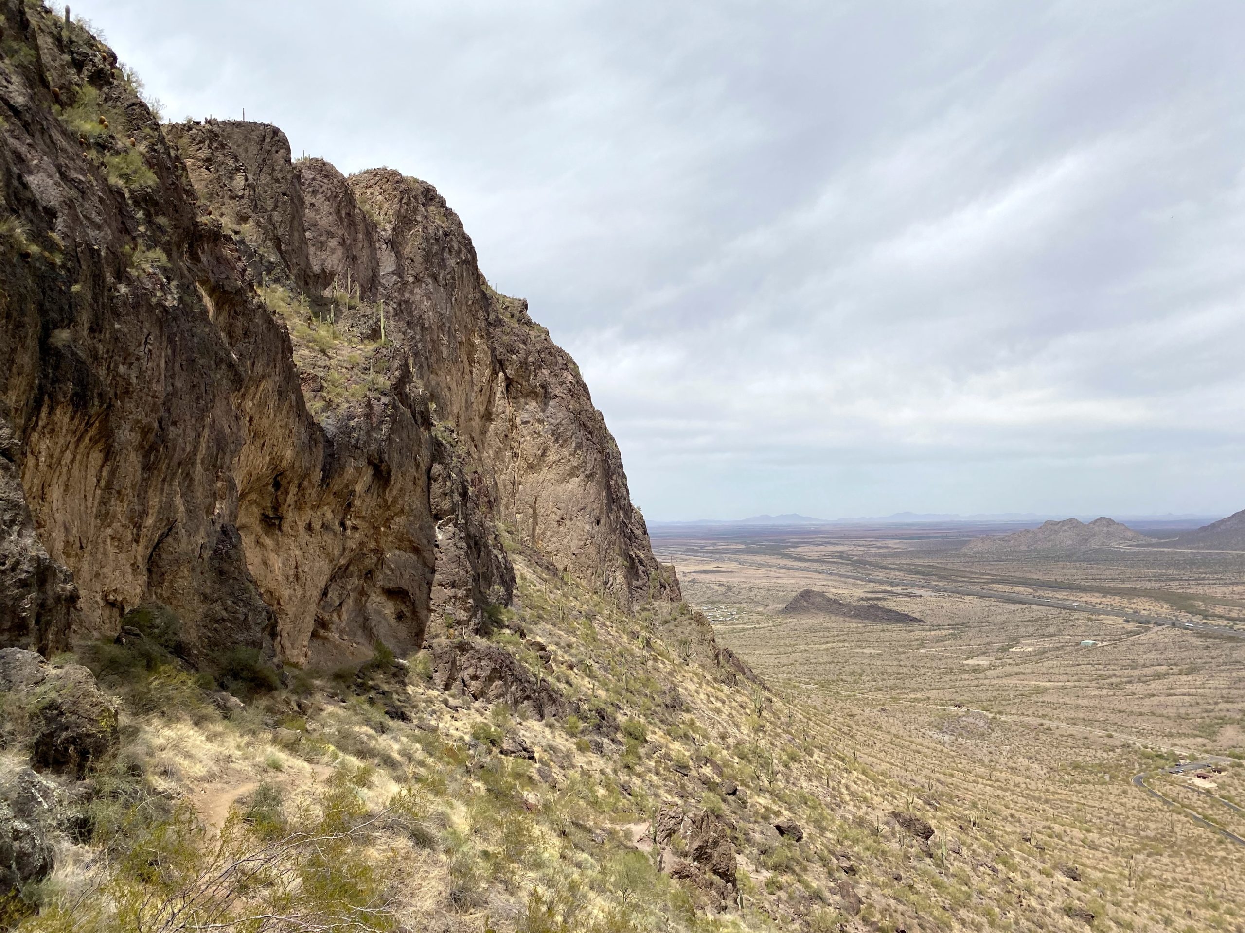
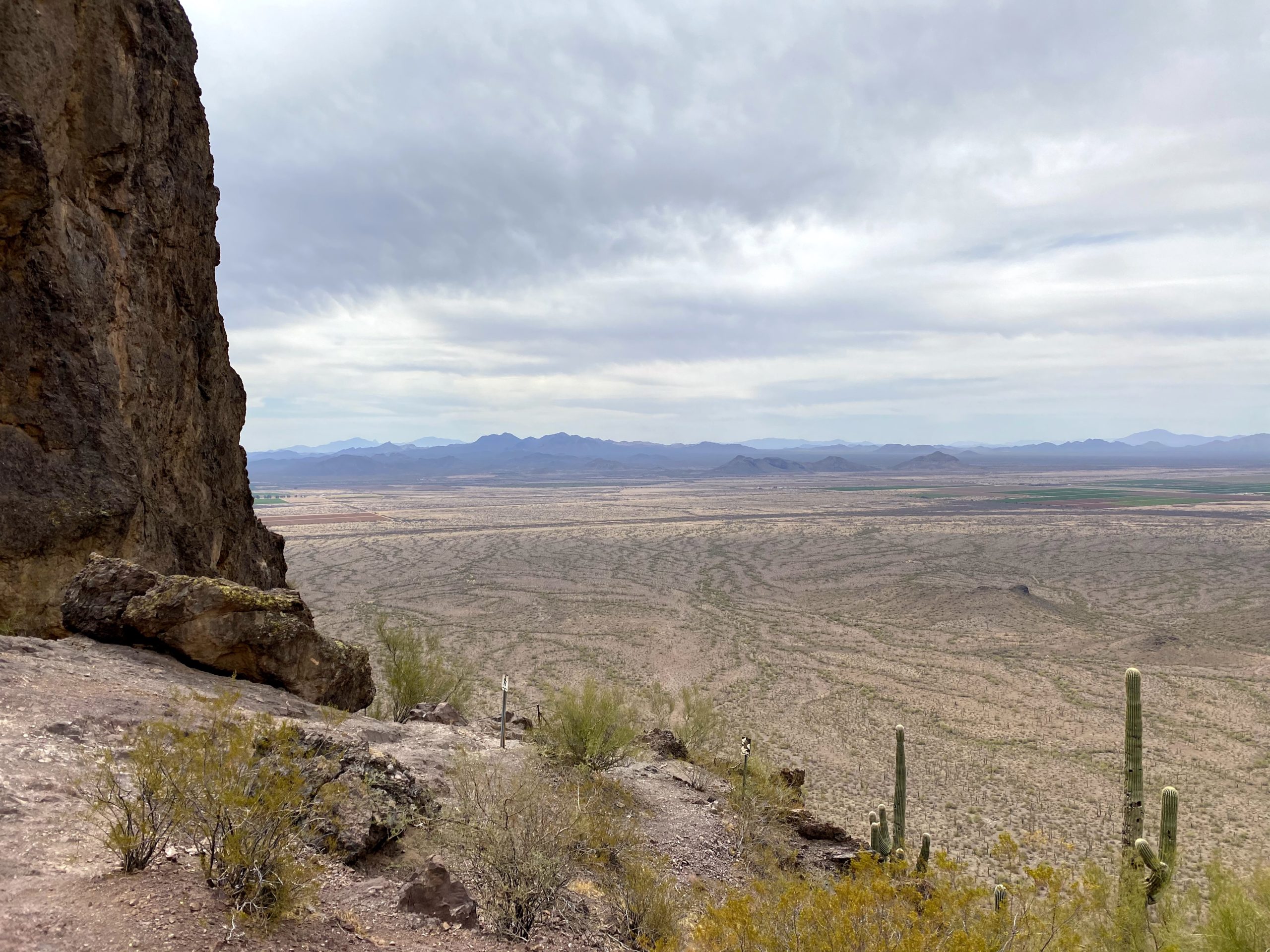
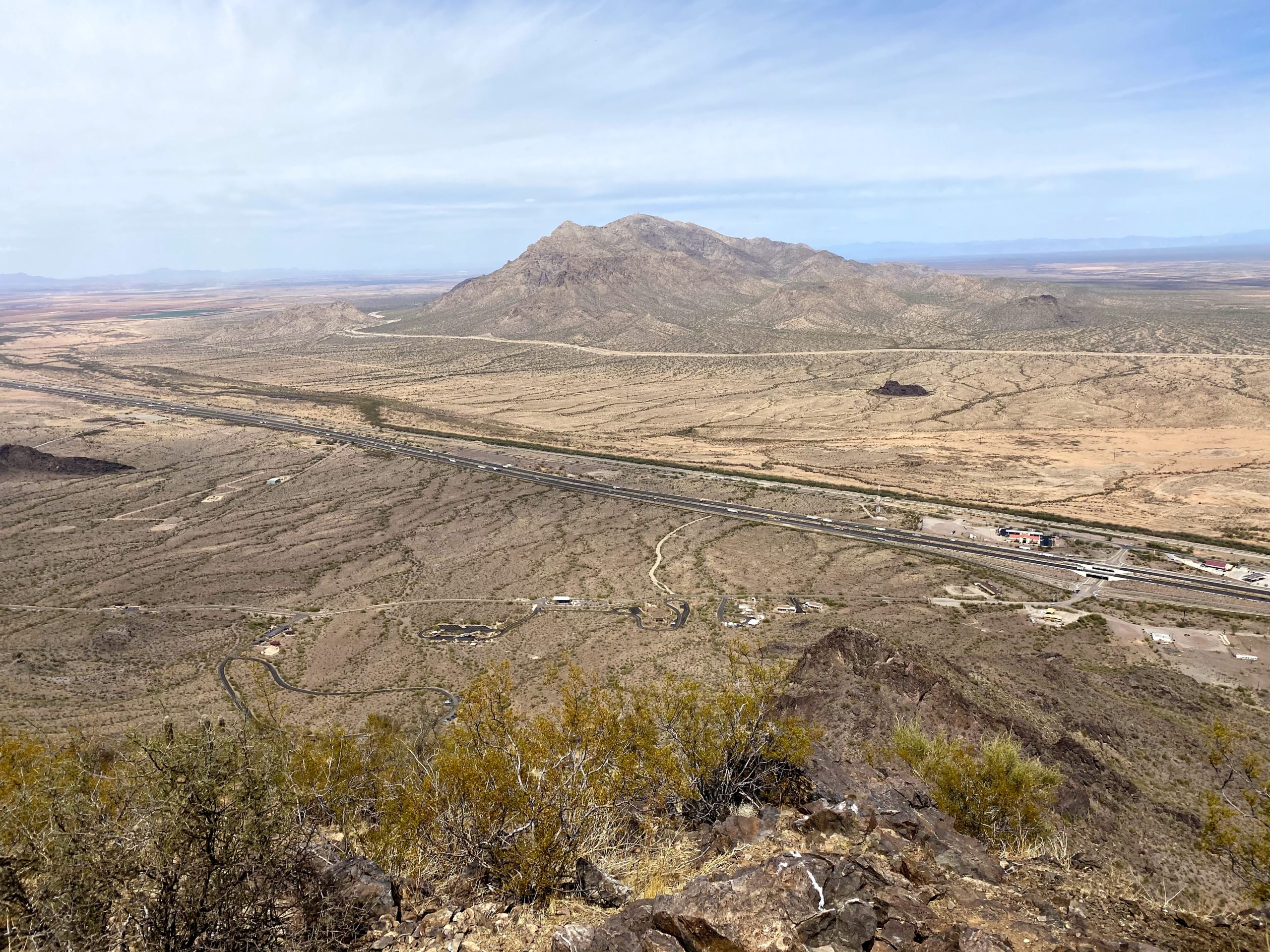
Around 1.0 mile, the Hunter Trail intersects with the Sunset Trail. Now the trail would become more serious. I would use the cables to climb up steep rocky sections, or to steady myself as I crossed narrow ledges. I finally reached a small bowl on the west side of the peak and broke out my poles again. The biggest challenge still lay ahead — the steepest cabled section on the mountain. The cables are nearly vertical here. I carefully found my footholds and pulled myself upward. Once through the metal doorframe, I had one more cabled section to manage. This short section requires you to put your trust completely on a wooden plank and the safety wire to cross the 20 feet. Once past that section, it is a short climb to the actual summit. The area was under a high wind advisory, so I made sure to tighten my hat while on the summit. I relaxed for a bit, enjoying a snack and chatting with some other hikers. The views were tremendous. I could spot Wasson Peak off in the distance, Mt. Lemmon’s snow capped peak to the southeast, and below me the Dairy Queen that would be a post hike treat.
But this journey was not yet over, I needed to descend, so I set off, taking my time on each cable. No need to rush and make a mistake. I carefully worked my way down, at times sitting on my butt to make it easier. When the final section of cable appeared below the base of the saddle, A feeling of accomplishment swept over me. I thought to myself, “I need to stop by the visitor center and see if they have a shirt or patch”.
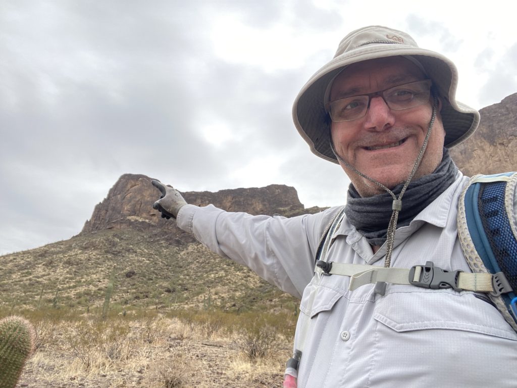
Just before I reached the end of the trail, I stopped and took a selfie pointing back to the summit I had just conquered. After changing into some post-hike clothes, I drove down to the visitor center, and yes, I got the t-shirt. From there, I stopped off at the Dairy Queen and ordered myself a nice Blizzard, then set off to Tempe and see my son.


I am an avid peak bagger, sometimes backpacker, and former sea kayaker living in San Diego. I am the co-author of Urban Trails: San Diego, available now!
In 2019, I became the third person to complete the San Diego 100 Peak Challenge. Not stopping with that accomplishment, I set my sights on the harder San Diego Sierra Club 100 Peak list, which I completed in 2021. In addition, I have conquered several Six-Pack of Peaks challenges (SoCal, San Diego, Central Coast, and both the Arizona-Winter and Arizona-Summer).
I am looking forward to exploring new summits and new adventures across the southwest.