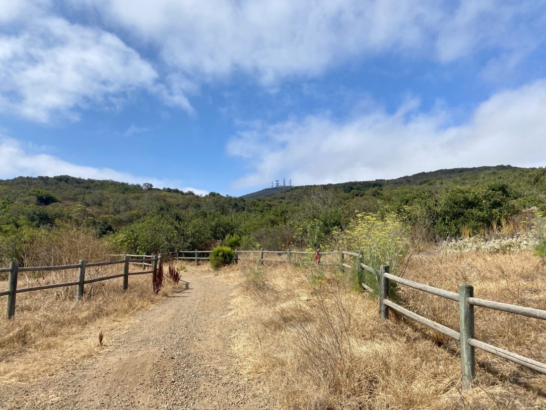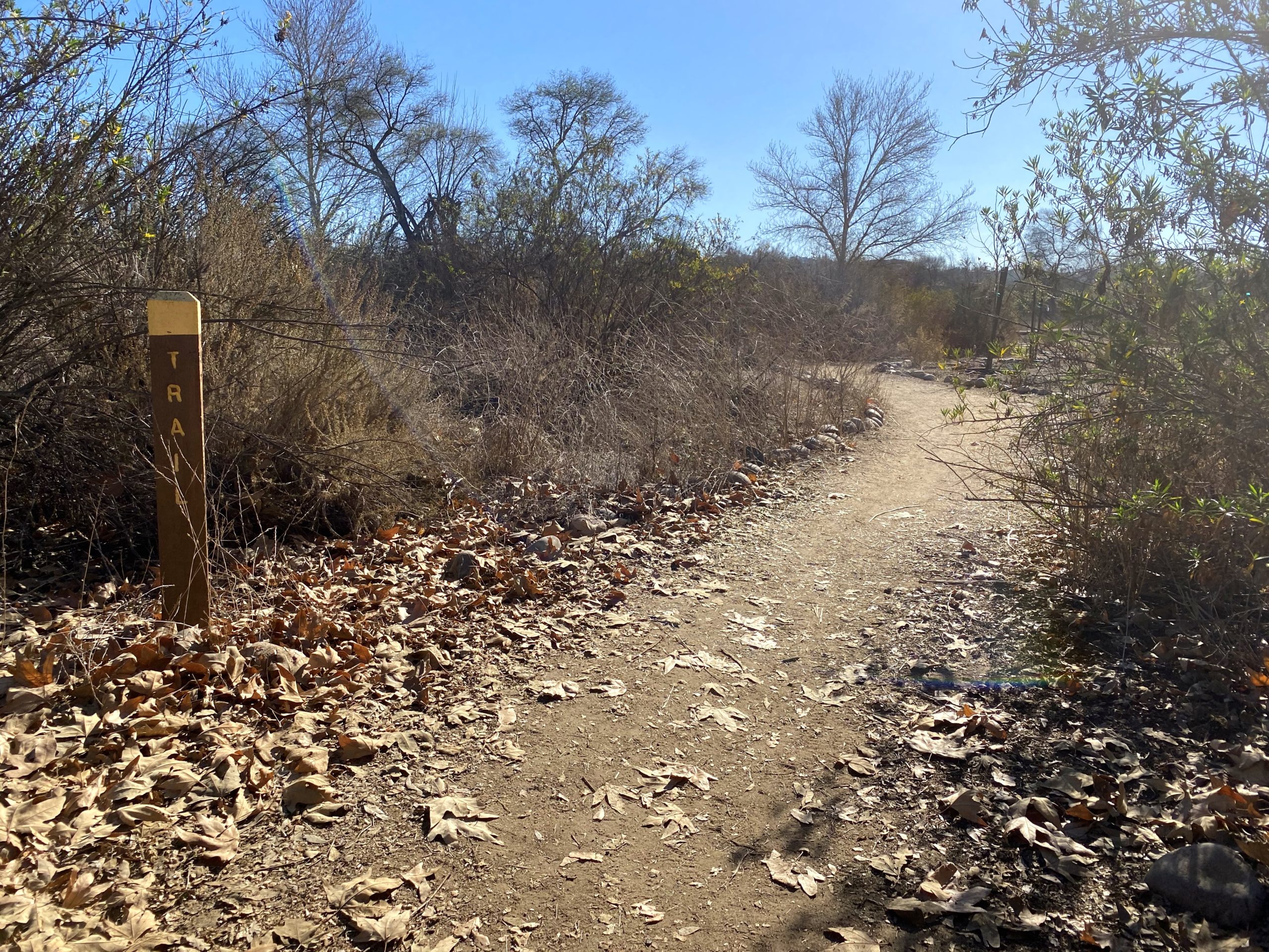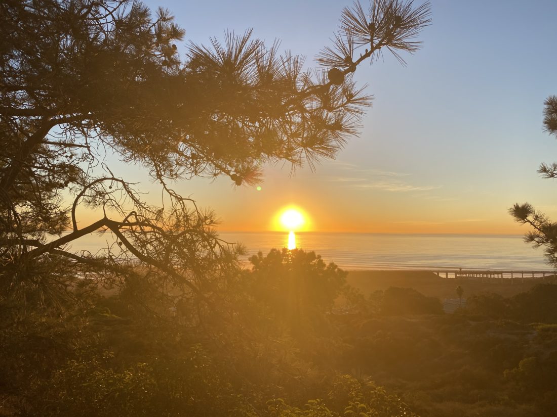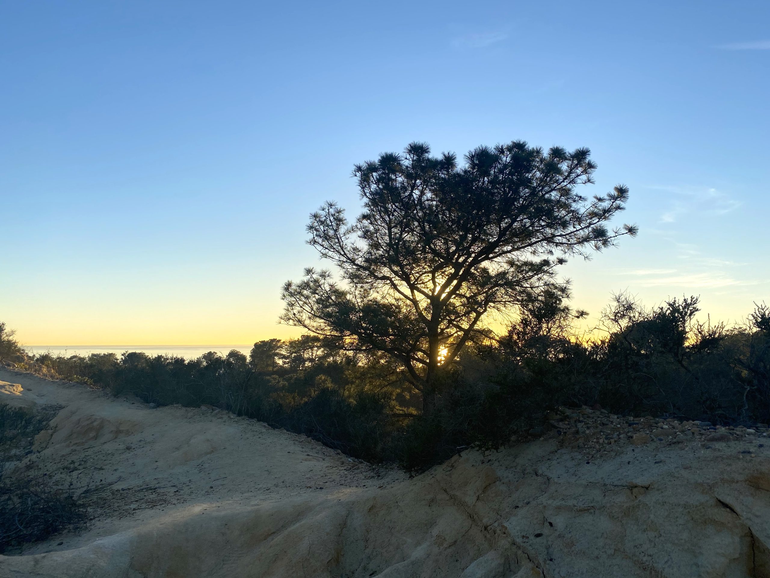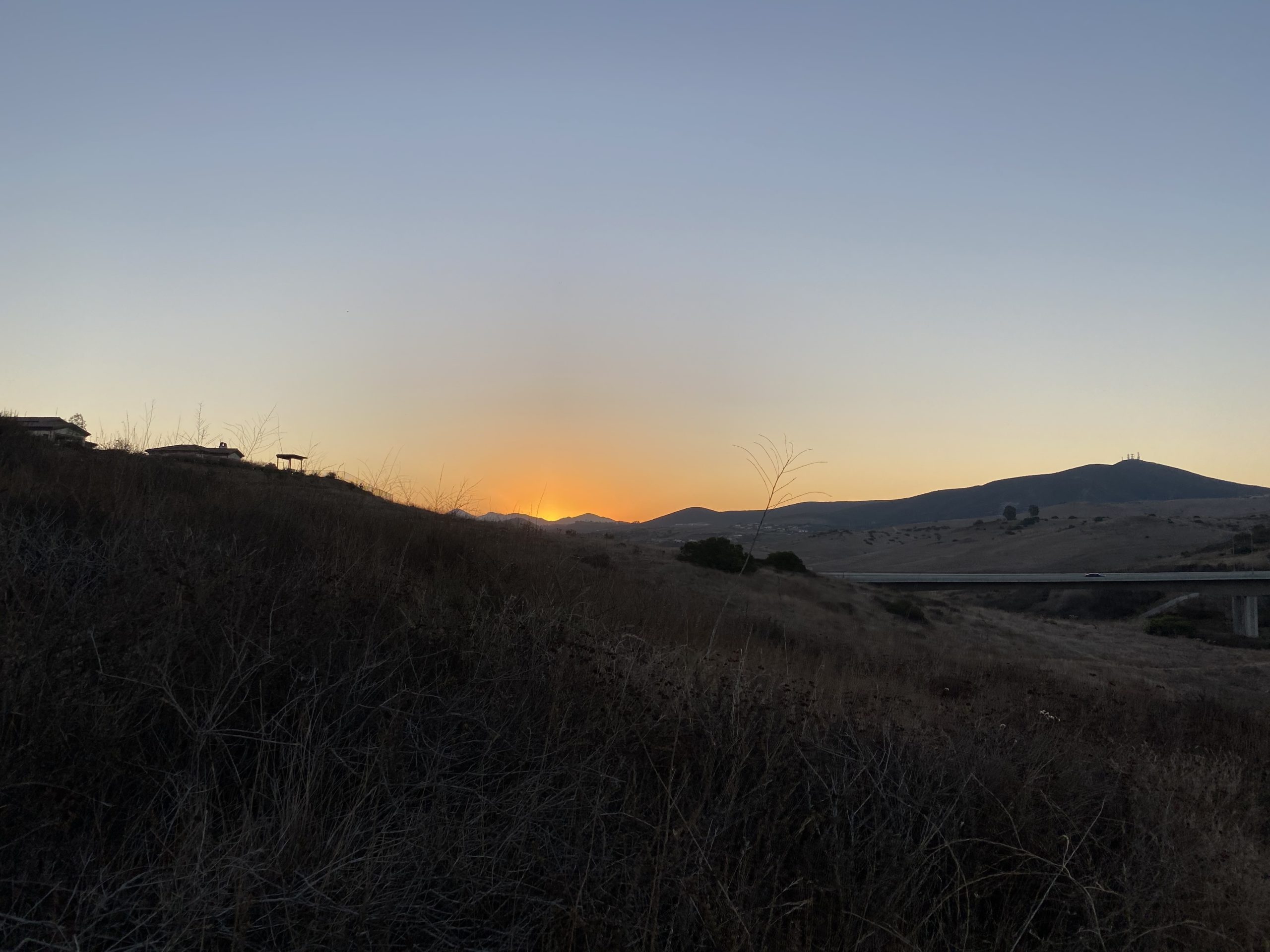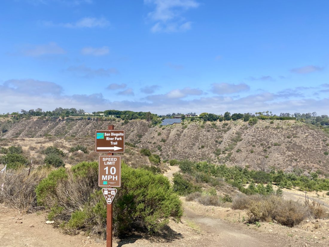
Once I was done with my summit of Black Mountain, I drove the short distance to the trailhead for the Santa Fe Valley Connector trail. This section of the Coast to Crest Trail was recently acquired, so I was looking forward to exploring it. The trailhead is shared with the Lusardi Creek Loop. The early morning cloud cover was burning off, so I made sure to apply my sunscreen before setting off.


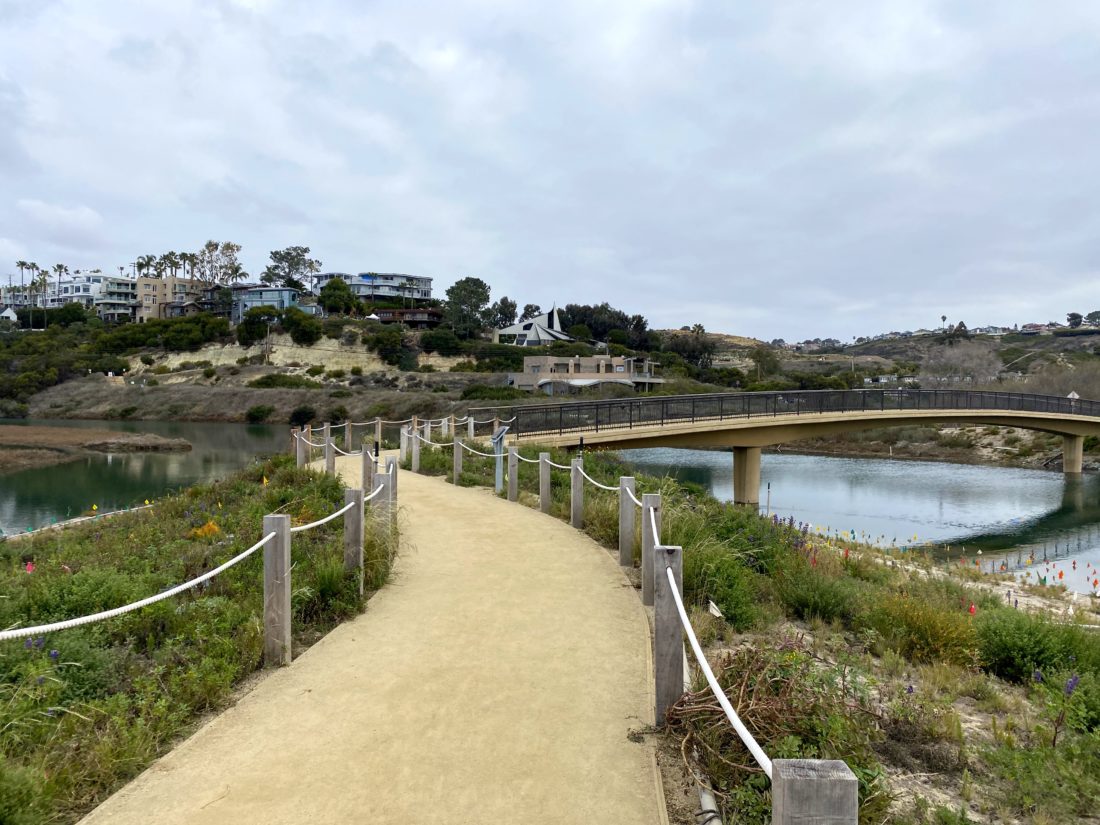
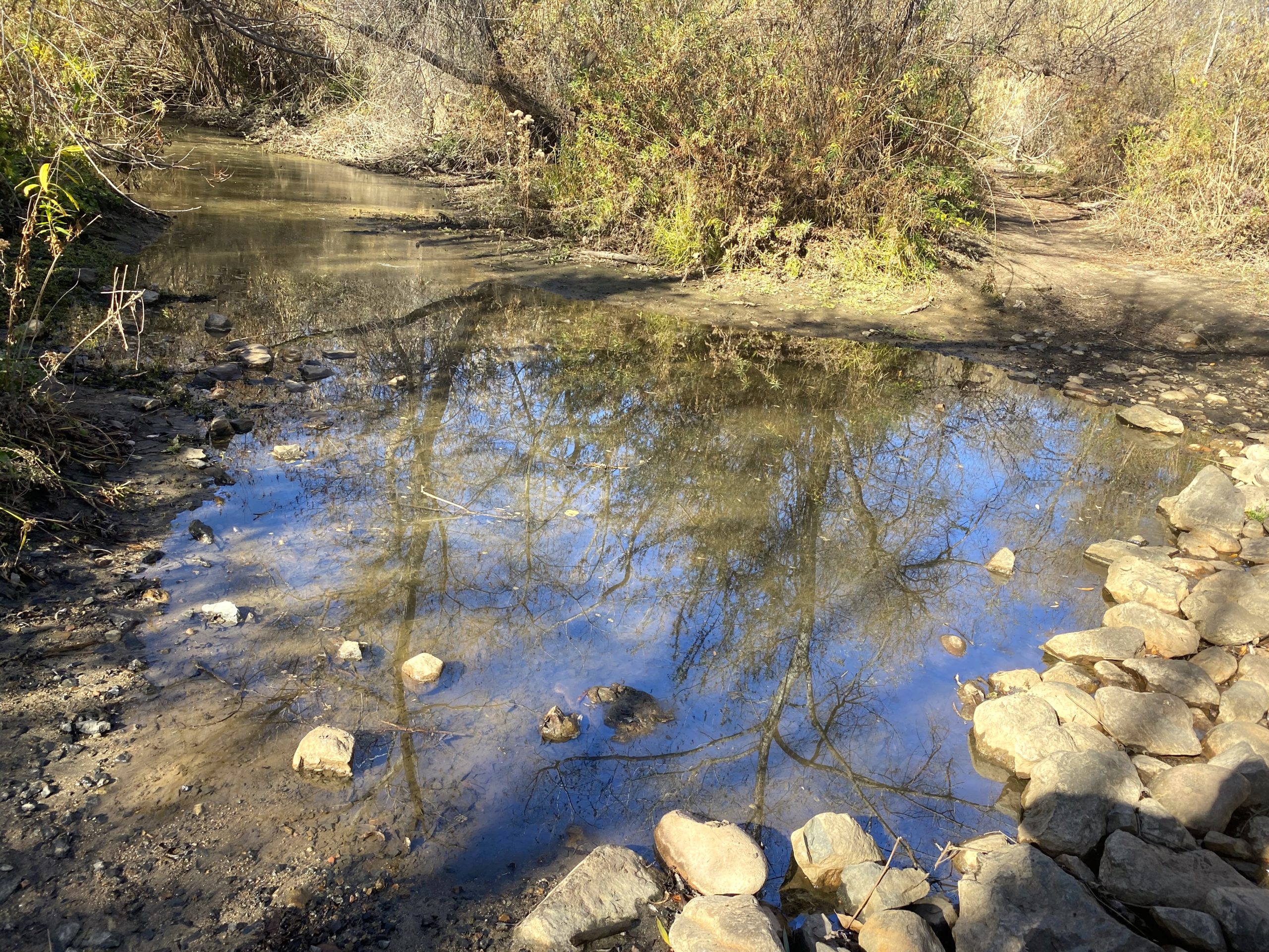
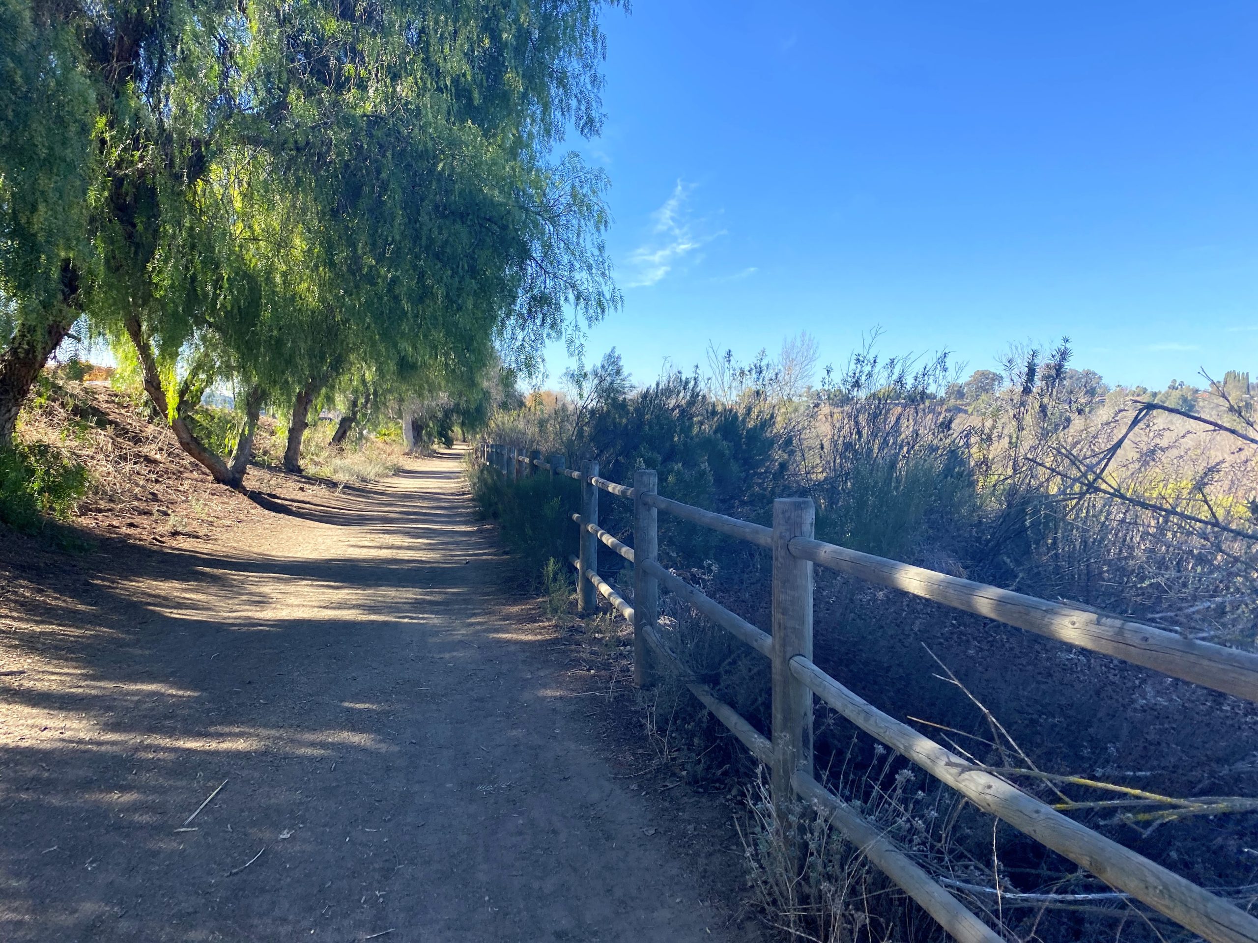
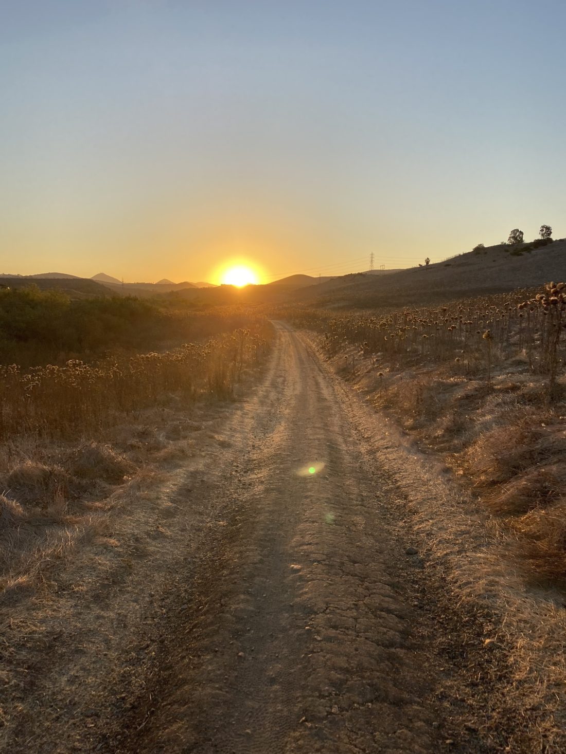
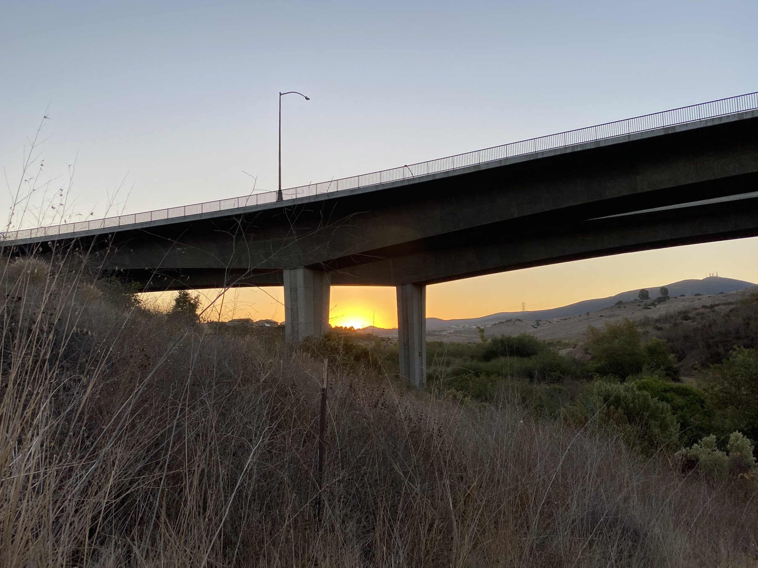
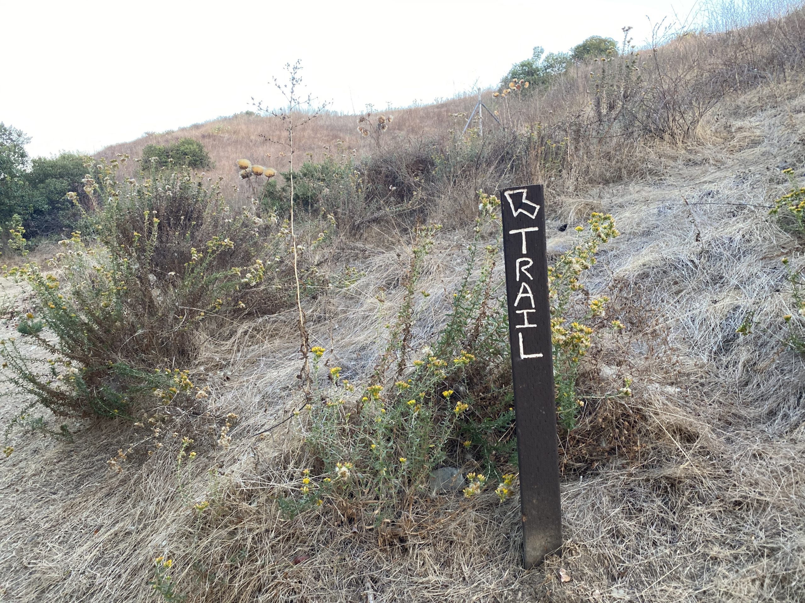
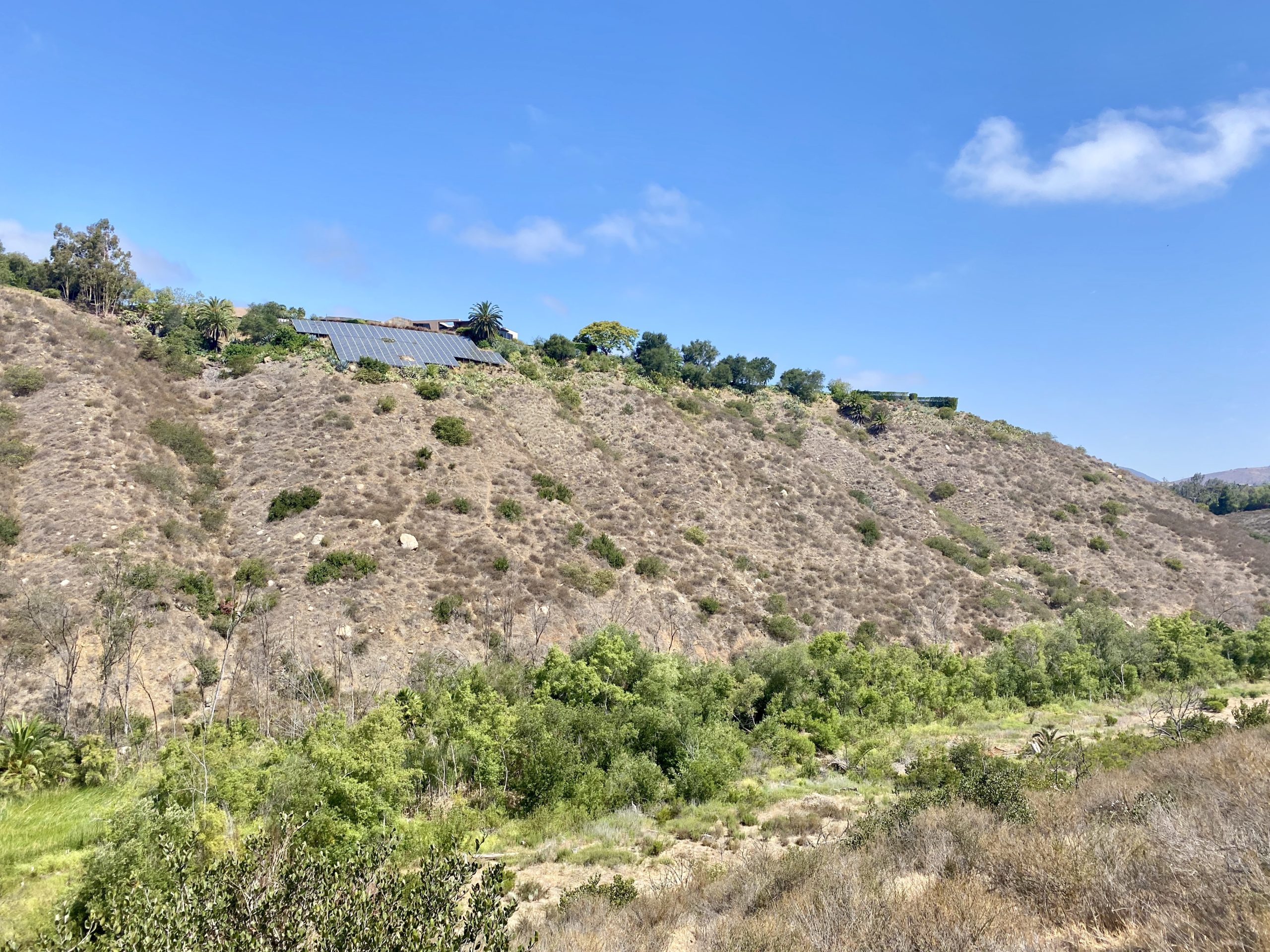
The trail passes by some incredible homes before dipping down toward the Lusardi Creek. The creek is still flowing, from residential runoff, and it made for a fun crossing. A guide rope is secured to the trees to help you across. From there, the trail follows the creek for a while, before turning east.


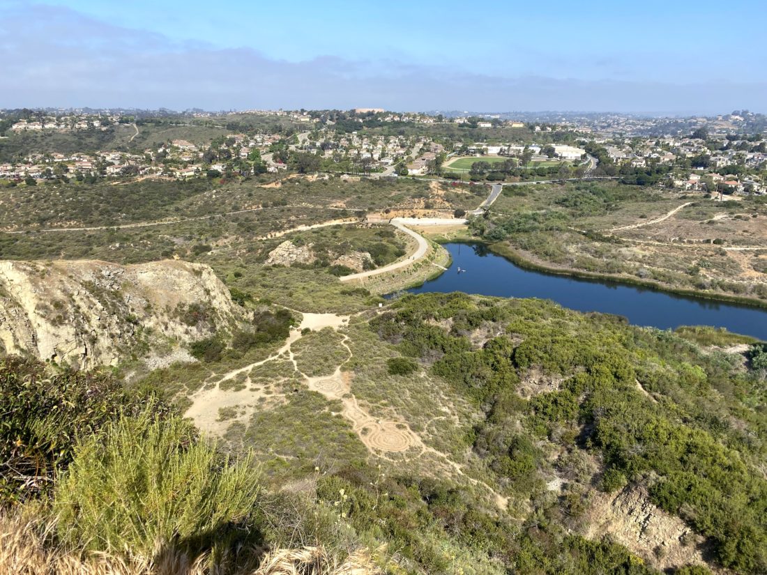
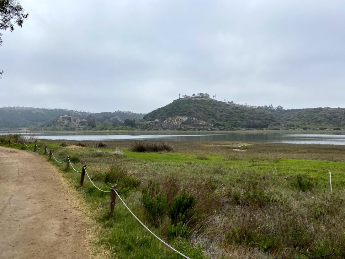
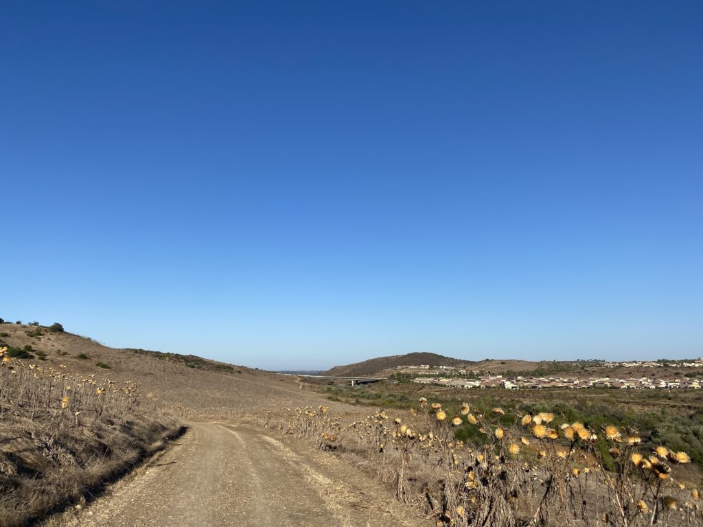
After following the San Dieguito river for a bit, I had a small climb to reach my turn-around spot. I located my ‘selfie’ spot, with the Crosby Golf Course behind me, and took my photo. I retraced my route. The day had warmed up and I was glad I only had the short climb back to the car.


I am an avid peak bagger, sometimes backpacker, and former sea kayaker living in San Diego. I am the co-author of Urban Trails: San Diego, available now!
In 2019, I became the third person to complete the San Diego 100 Peak Challenge. Not stopping with that accomplishment, I set my sights on the harder San Diego Sierra Club 100 Peak list, which I completed in 2021. In addition, I have conquered several Six-Pack of Peaks challenges (SoCal, San Diego, Central Coast, and both the Arizona-Winter and Arizona-Summer).
I am looking forward to exploring new summits and new adventures across the southwest.