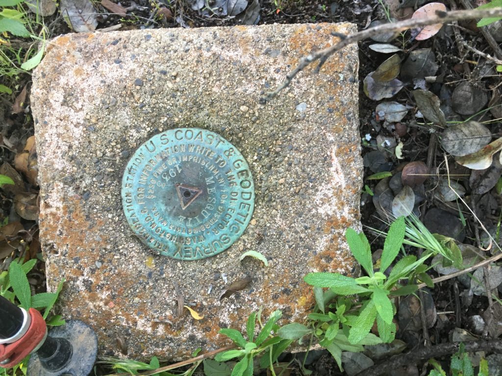
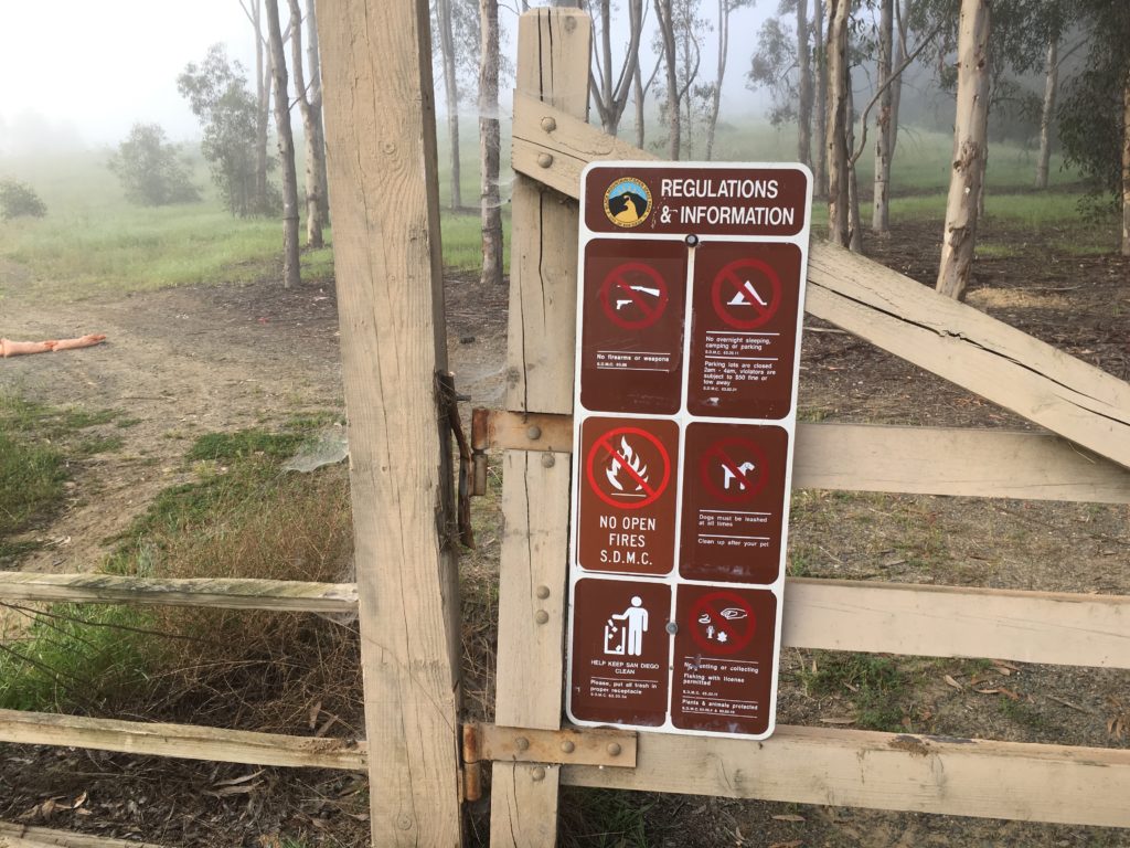
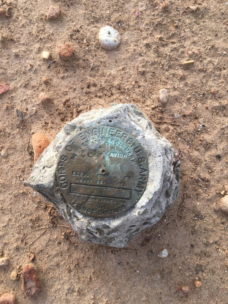
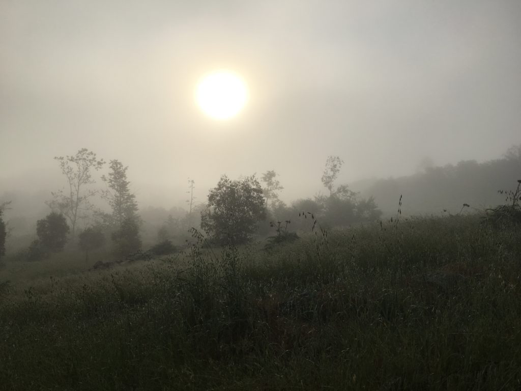
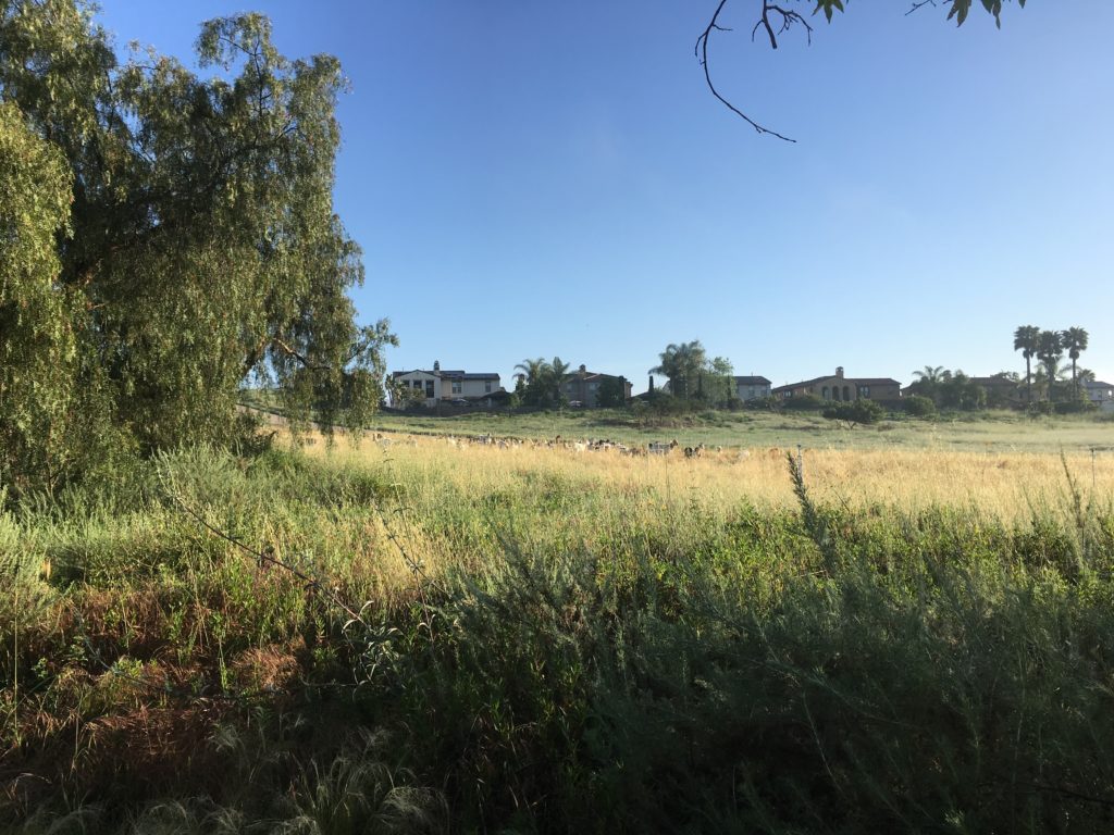
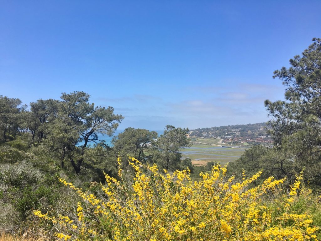
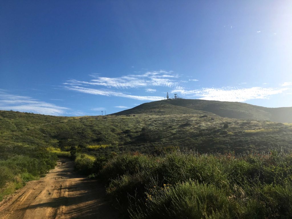
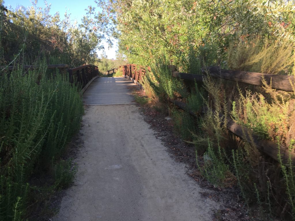
Nestled along the south side of San Elijo Lagoon is a small sandstone slot canyon, known as Annie’s Canyon. This short hike out to explore is perfect for a quick family outing. There are several possible routes to it; we opted to start from the North Rios trailhead and hike along the south shore of the lagoon. Those looking for a longer hike could start at the San Elijo Lagoon Nature center on the north side of the lagoon and hike over from there. A new bridge under the I-5 will also soon allow access to this hike as well.
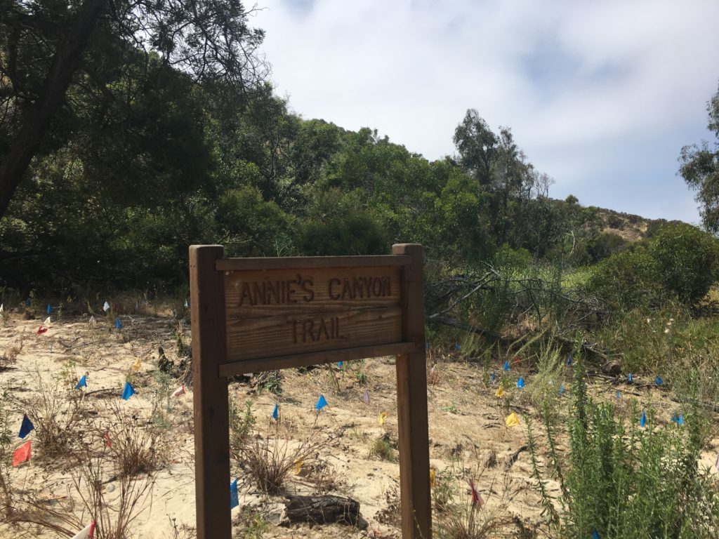
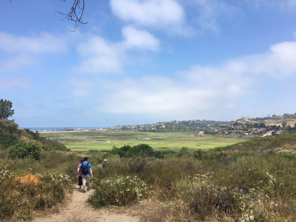
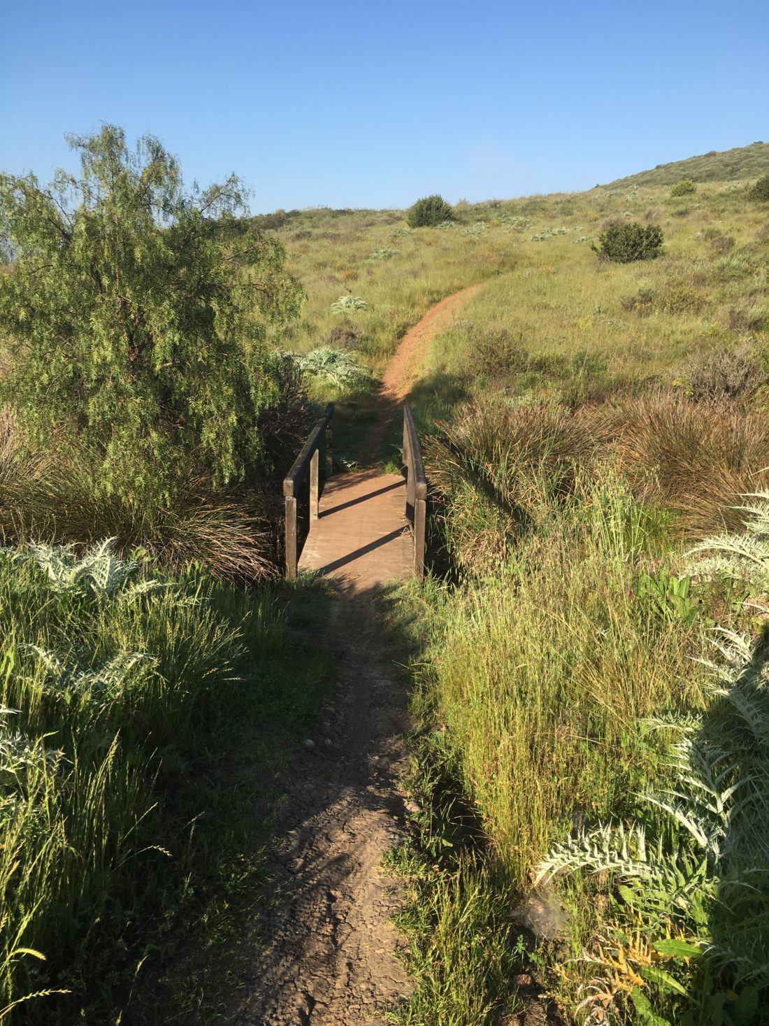
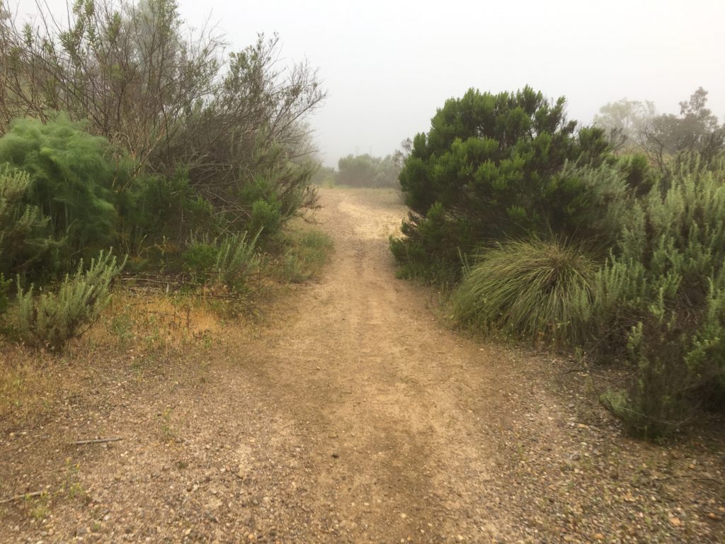
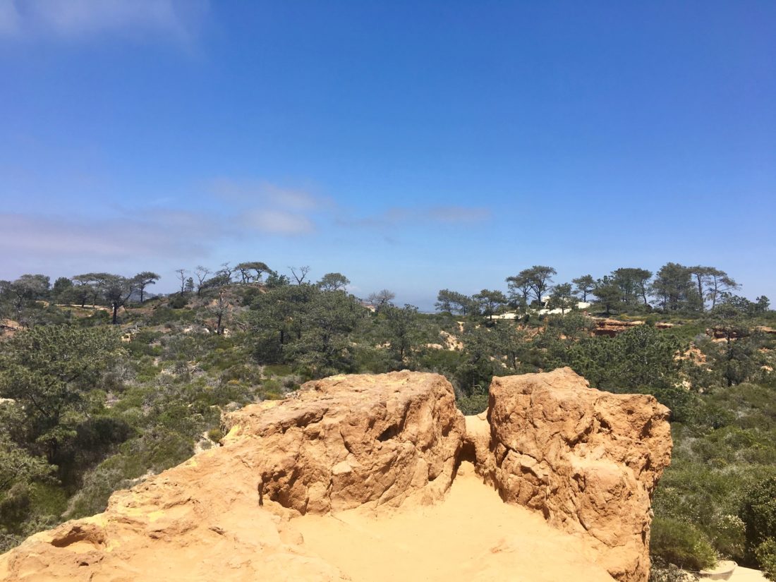
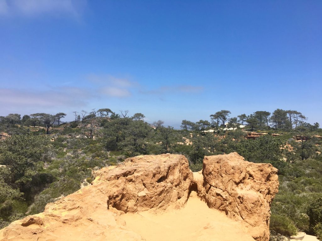
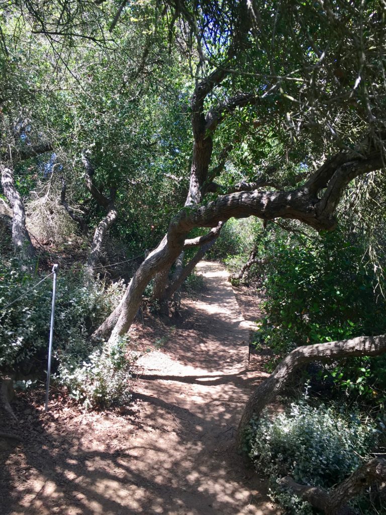
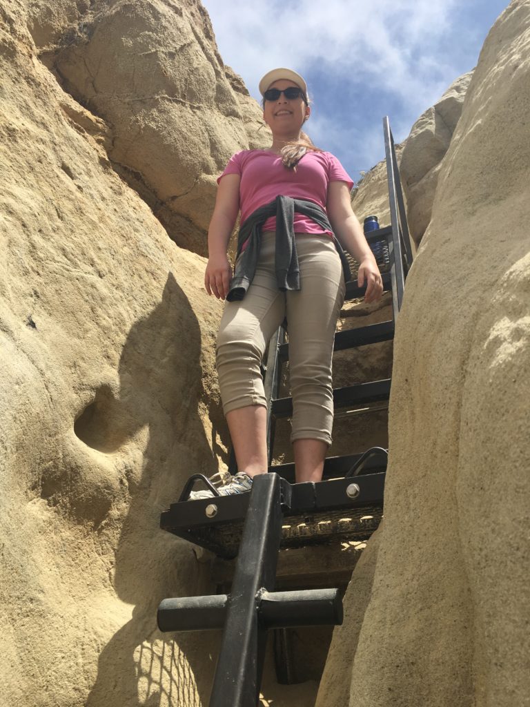
We walked along the trail, enjoying the lagoon and its wildlife. We passed the junction that leads up to Holmwood Lane. Following the trail eastward for about 1/4 of a mile until we came to Annie’s Canyon. The route is a one-way counter-clockwise adventure through the narrow sandstone slot and up the metal ladders to the overlook. If you choose not to venture into the canyon, continue eastward then take the trail up to the viewpoint.
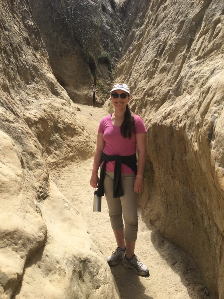
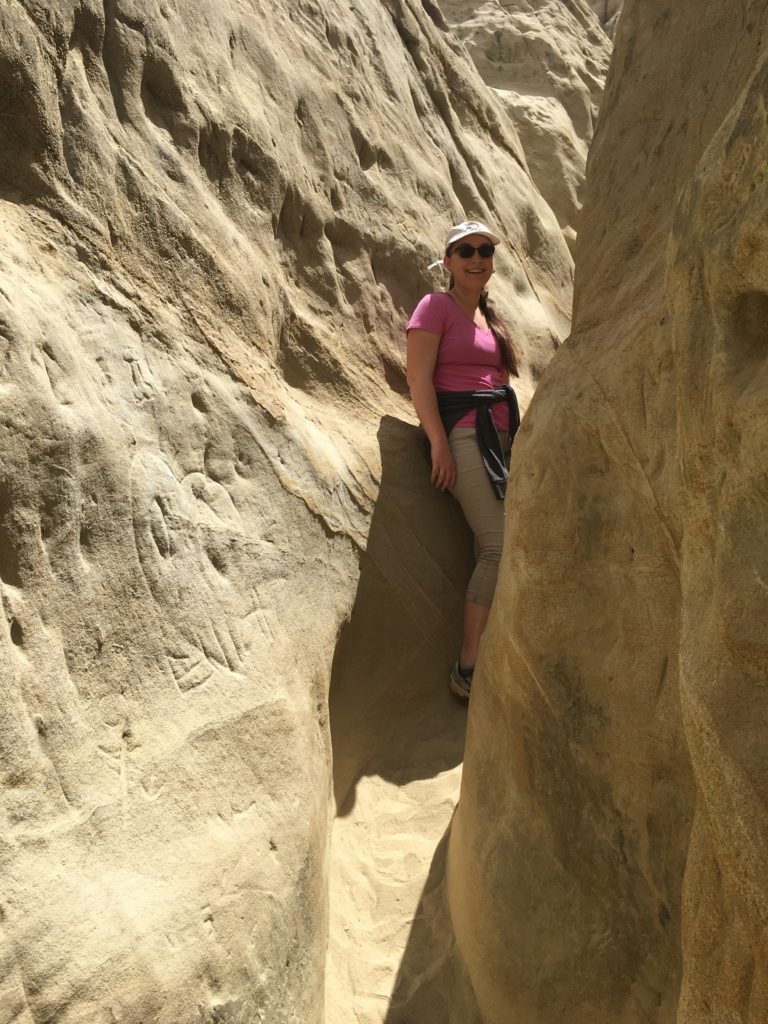
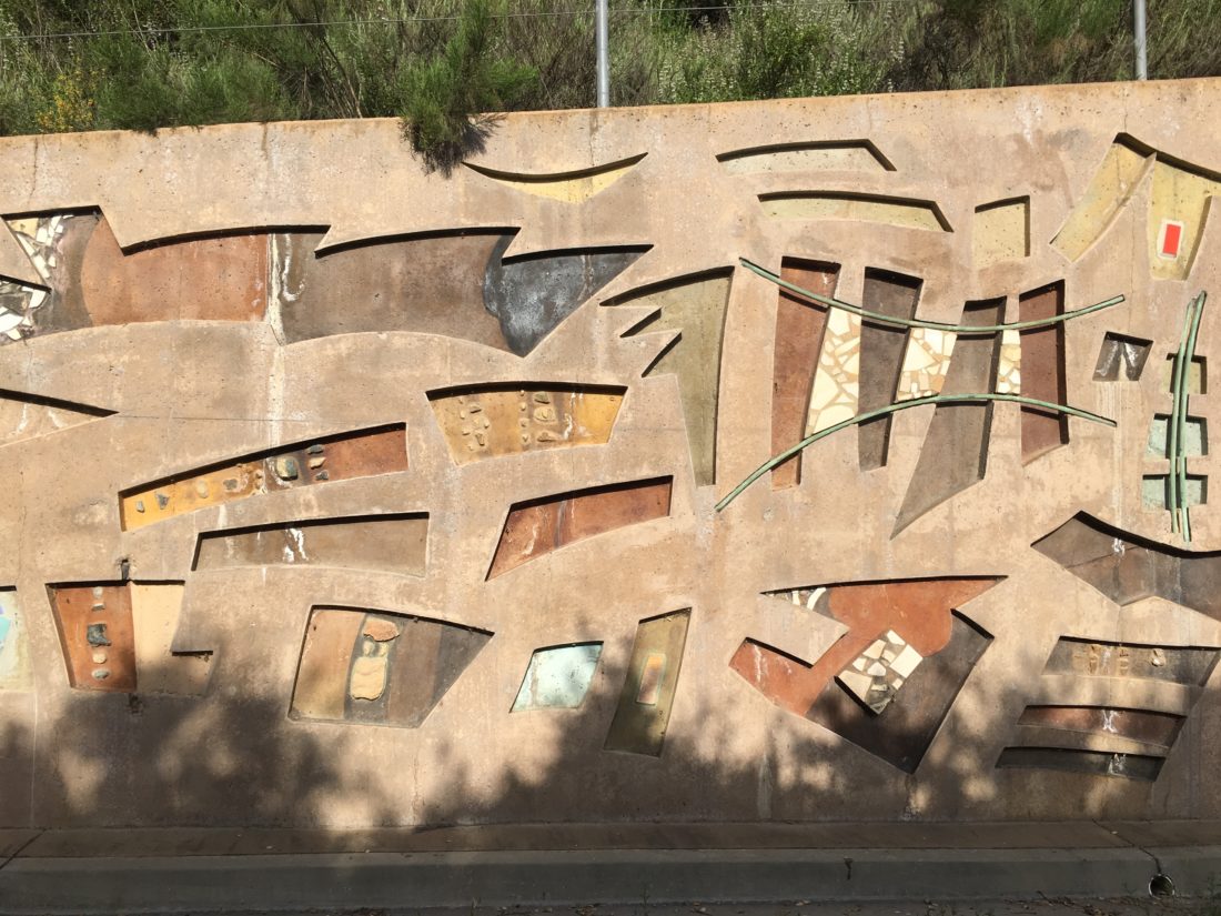
Those who squeeze through the canyon, are rewarded with a unique experience. For quite some time this canyon was closed to the public due to the tremendous amount of vandalism that occurred here. But through a lot of hard work and dedication, volunteers cleaned it up and the canyon was reopened to the public.
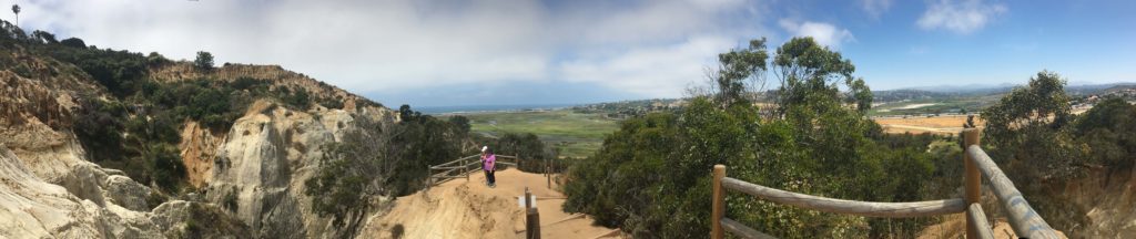
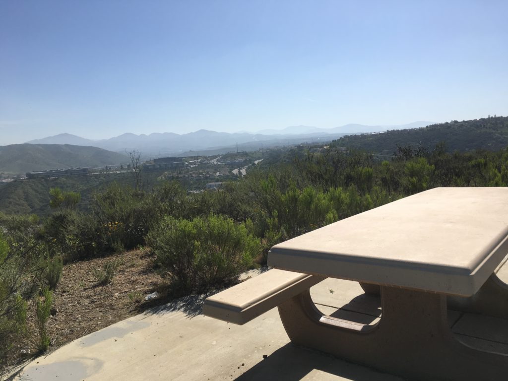
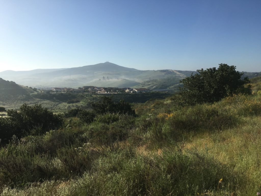
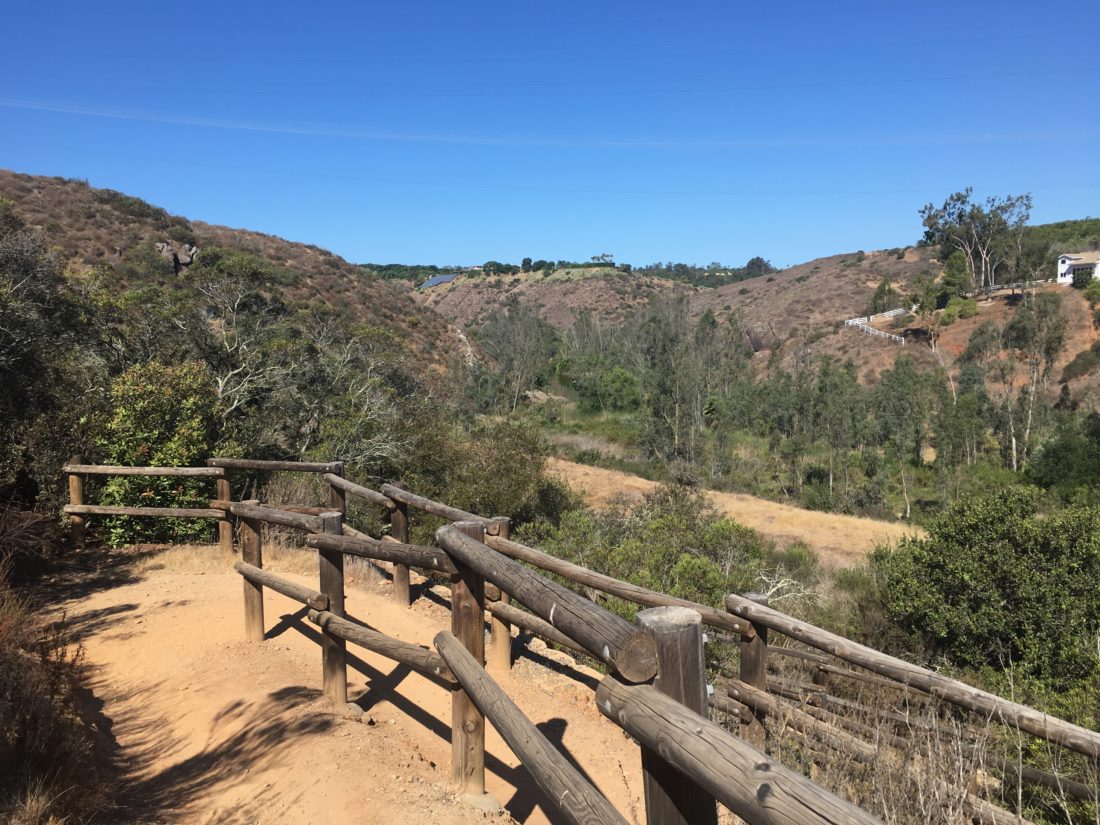
After climbing the ladders you will reach the viewpoint giving you a chance to look down into the canyon some. Once done taking in the views, head back down toward the lagoon and back to your trailhead.


I am an avid peak bagger, sometimes backpacker, and former sea kayaker living in San Diego. I am the co-author of Urban Trails: San Diego, available now!
In 2019, I became the third person to complete the San Diego 100 Peak Challenge. Not stopping with that accomplishment, I set my sights on the harder San Diego Sierra Club 100 Peak list, which I completed in 2021. In addition, I have conquered several Six-Pack of Peaks challenges (SoCal, San Diego, Central Coast, and both the Arizona-Winter and Arizona-Summer).
I am looking forward to exploring new summits and new adventures across the southwest.