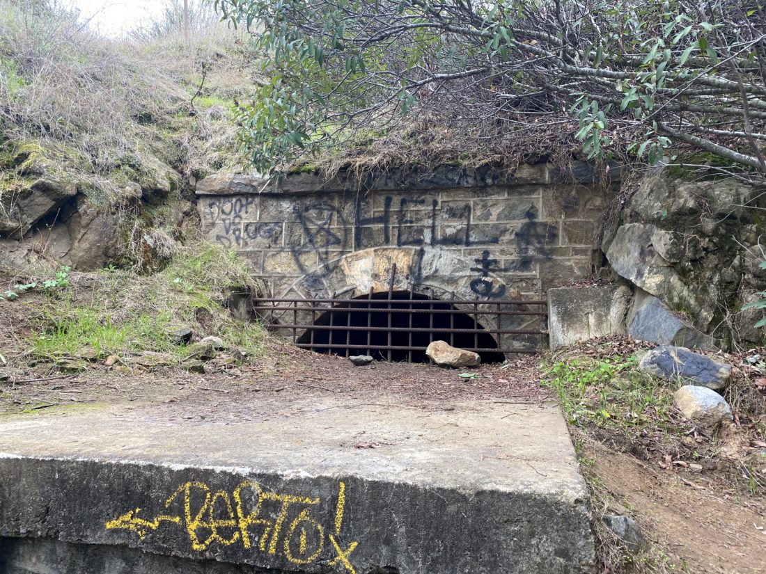
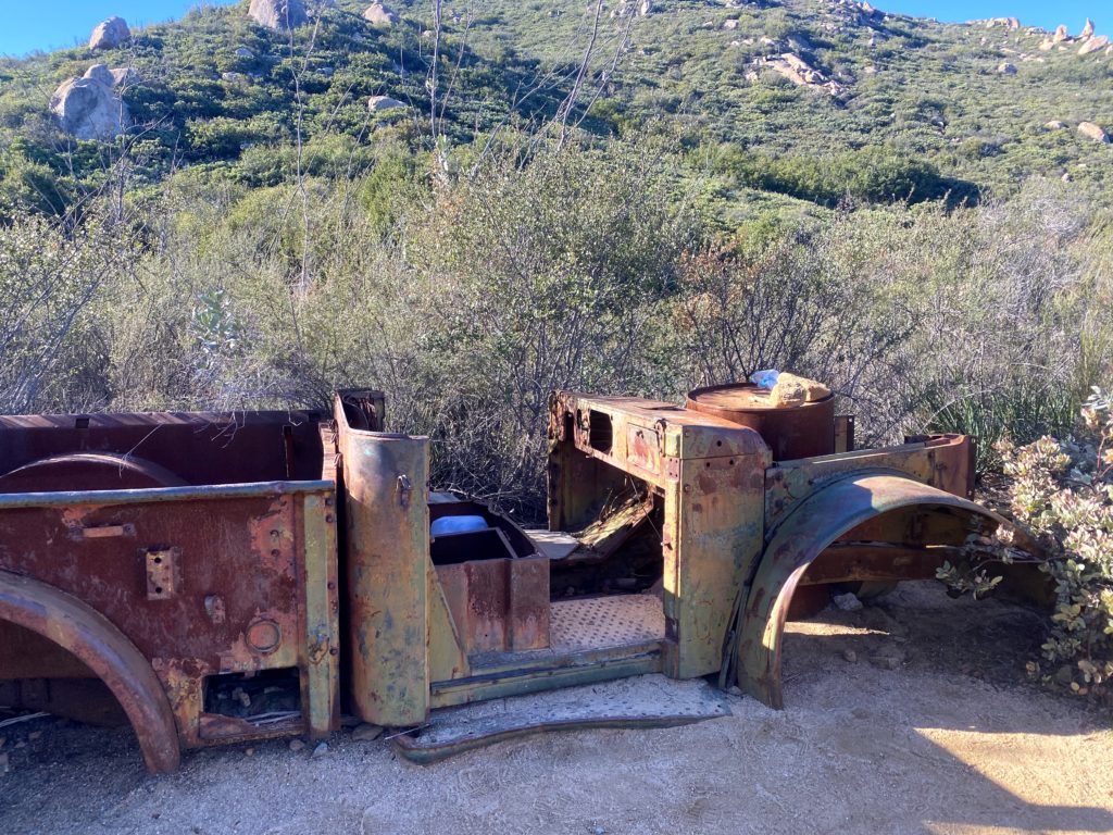
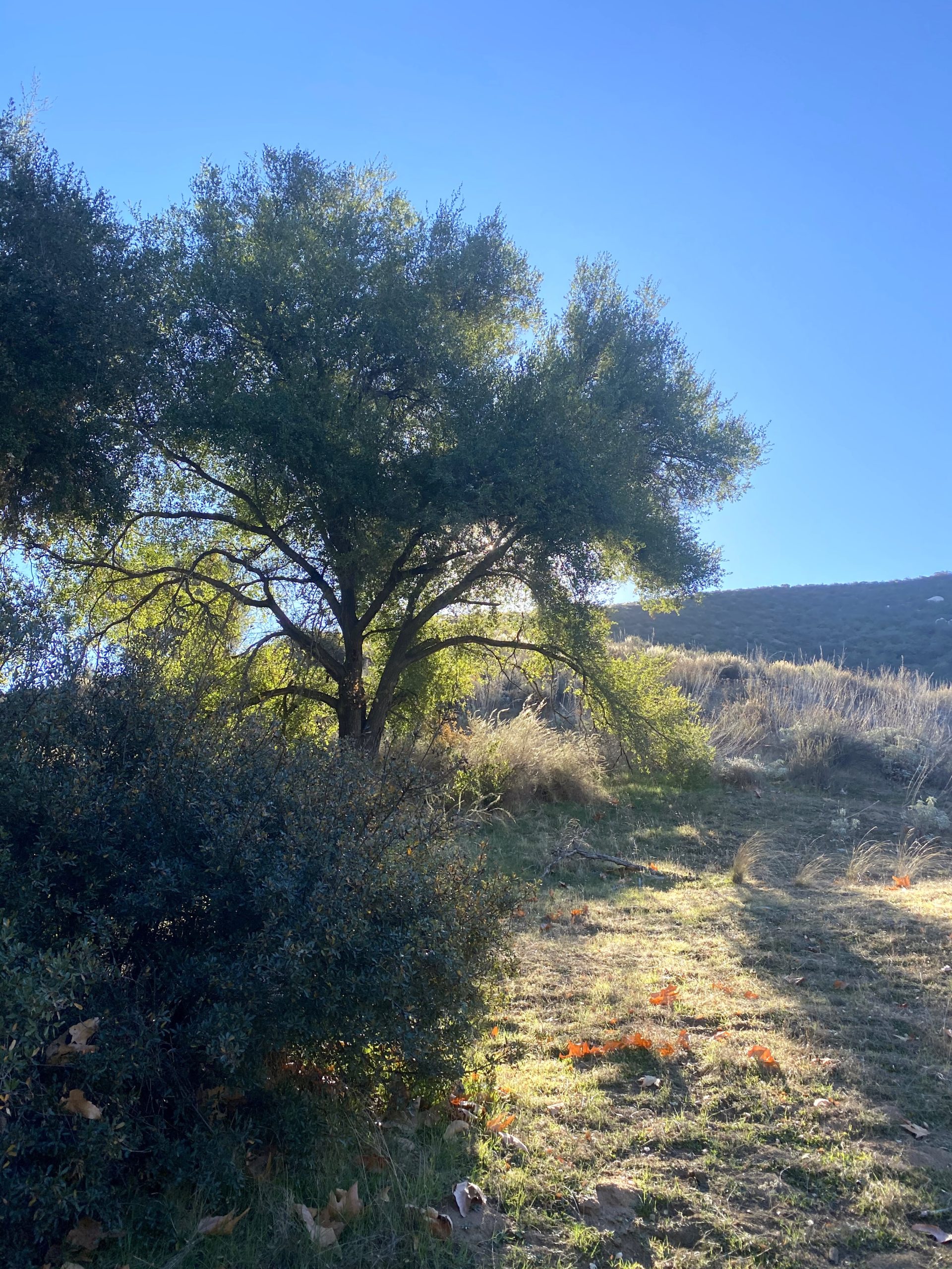
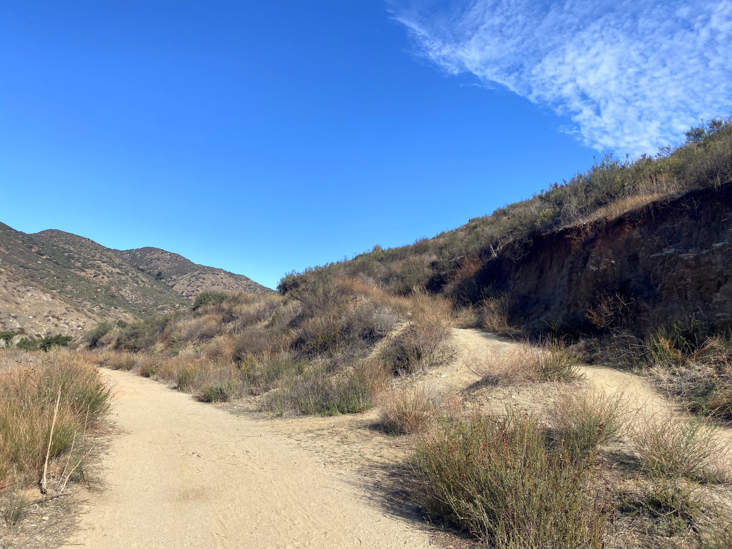
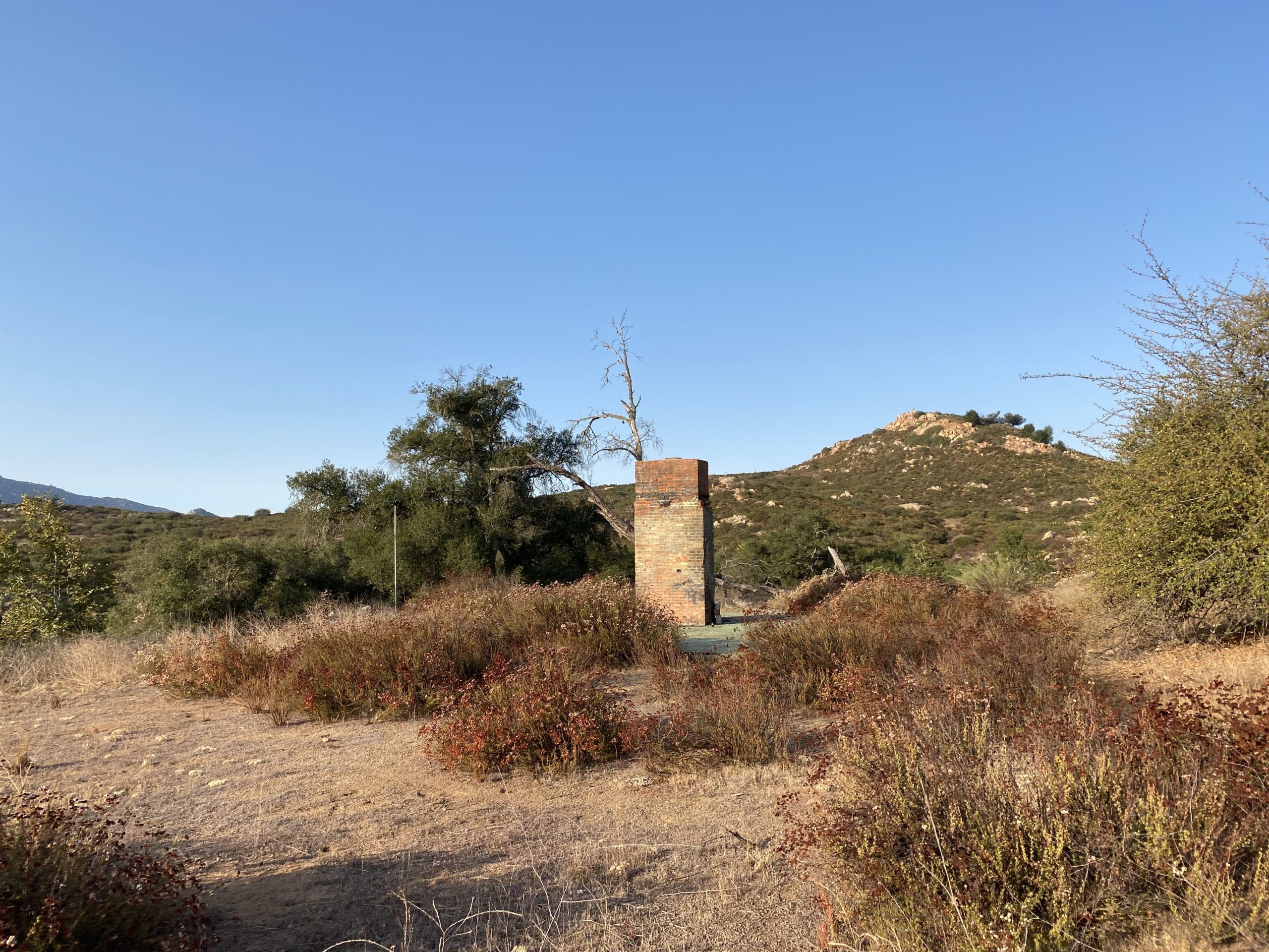
Continuing to work on the San Diego County Parks’ Tour Our Trails Challenge, today was going to be a “two-fer”, the Flume Trail at El Monte County Park, and after a visit to Louis A. Stelzer County Park. I parked in the lot and began working my way up the switchbacks toward the remains of the old flume route that served as an early water transportation system.
I am an avid peak bagger, sometimes backpacker, and former sea kayaker living in San Diego. I am the co-author of Urban Trails: San Diego, coming in Spring 2026!
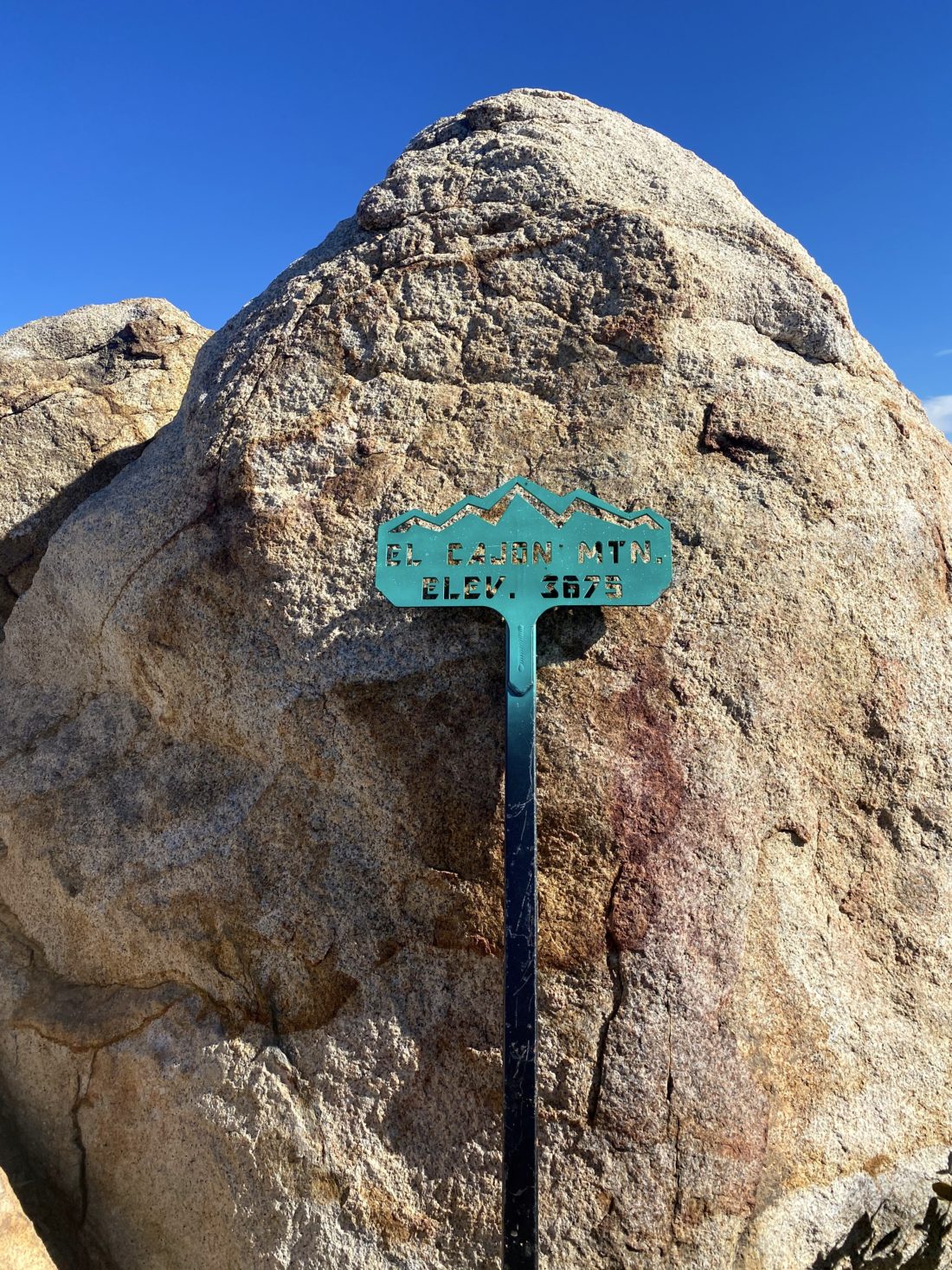
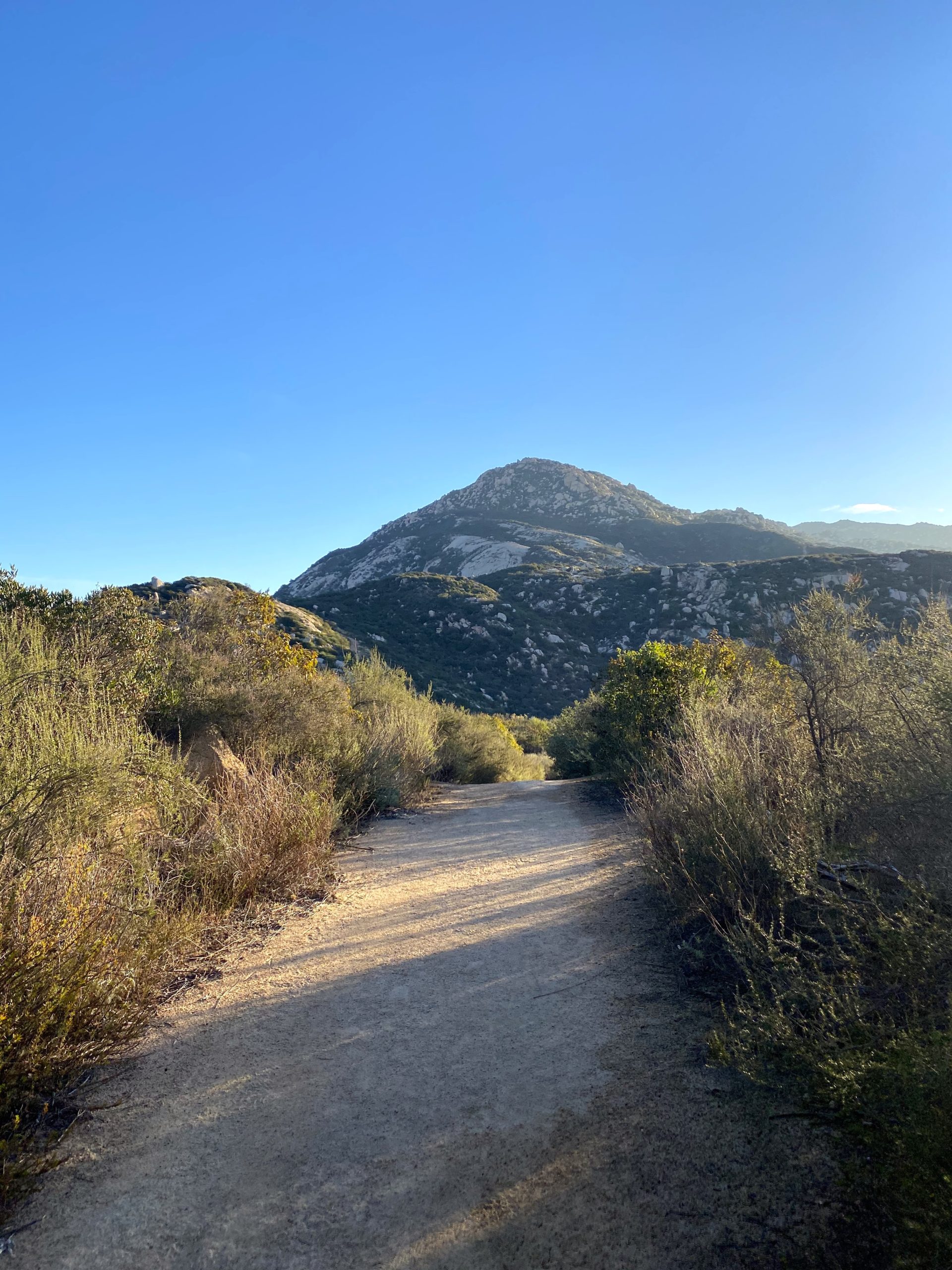
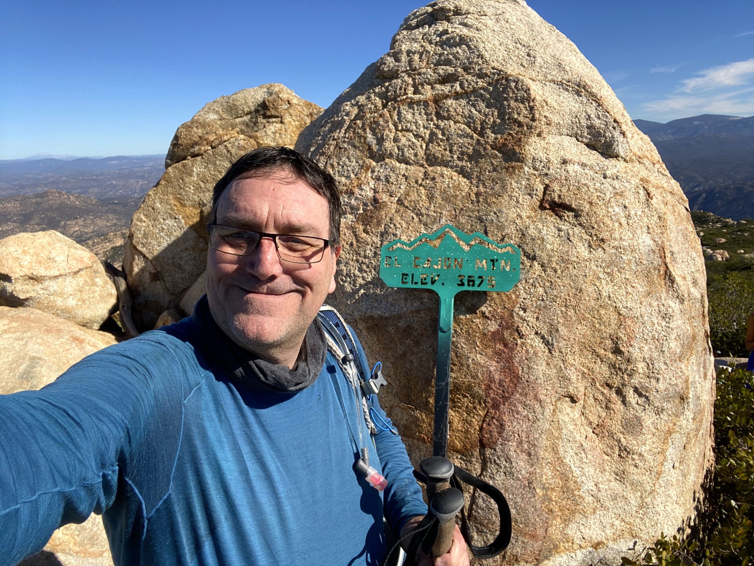
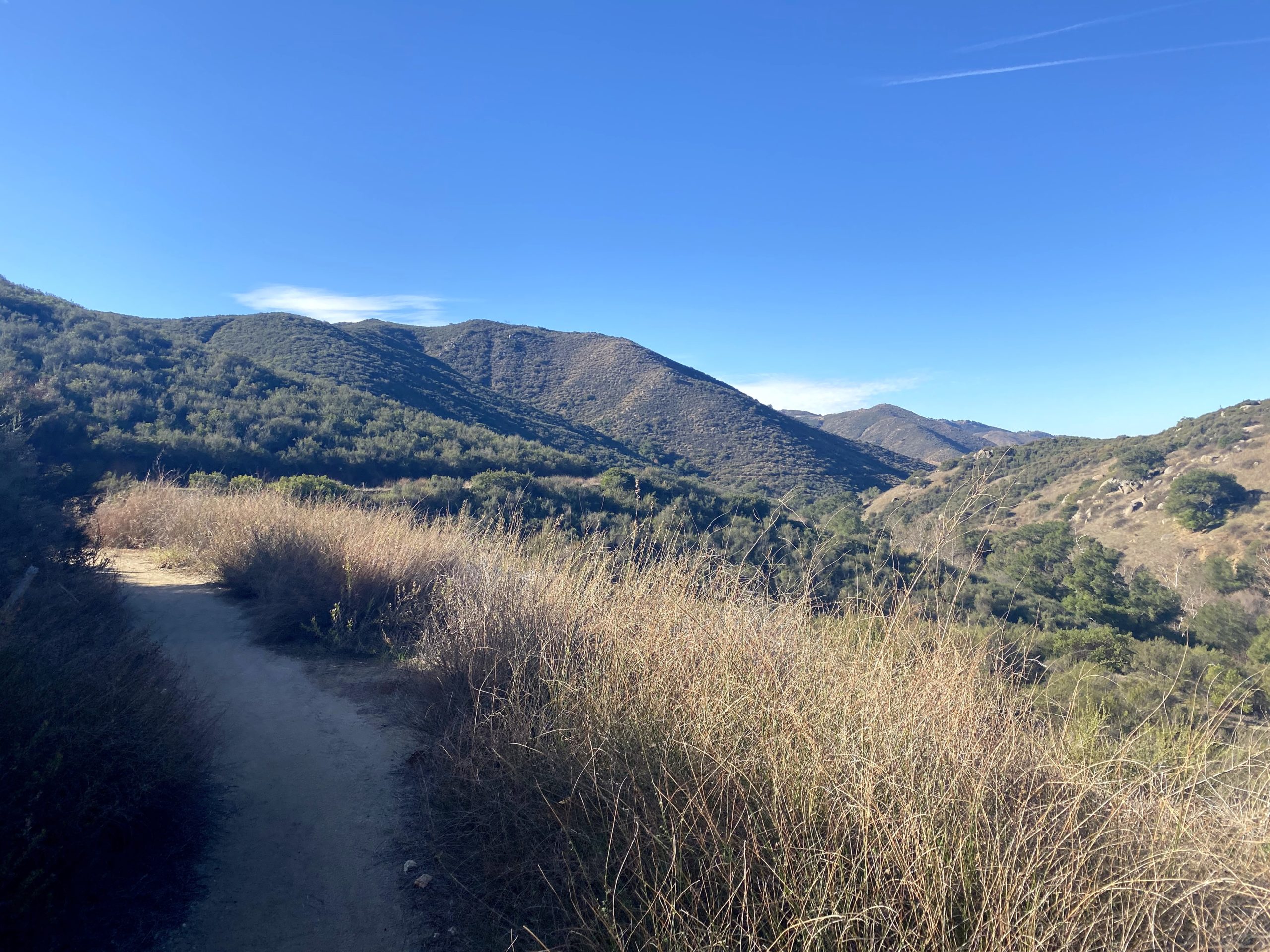
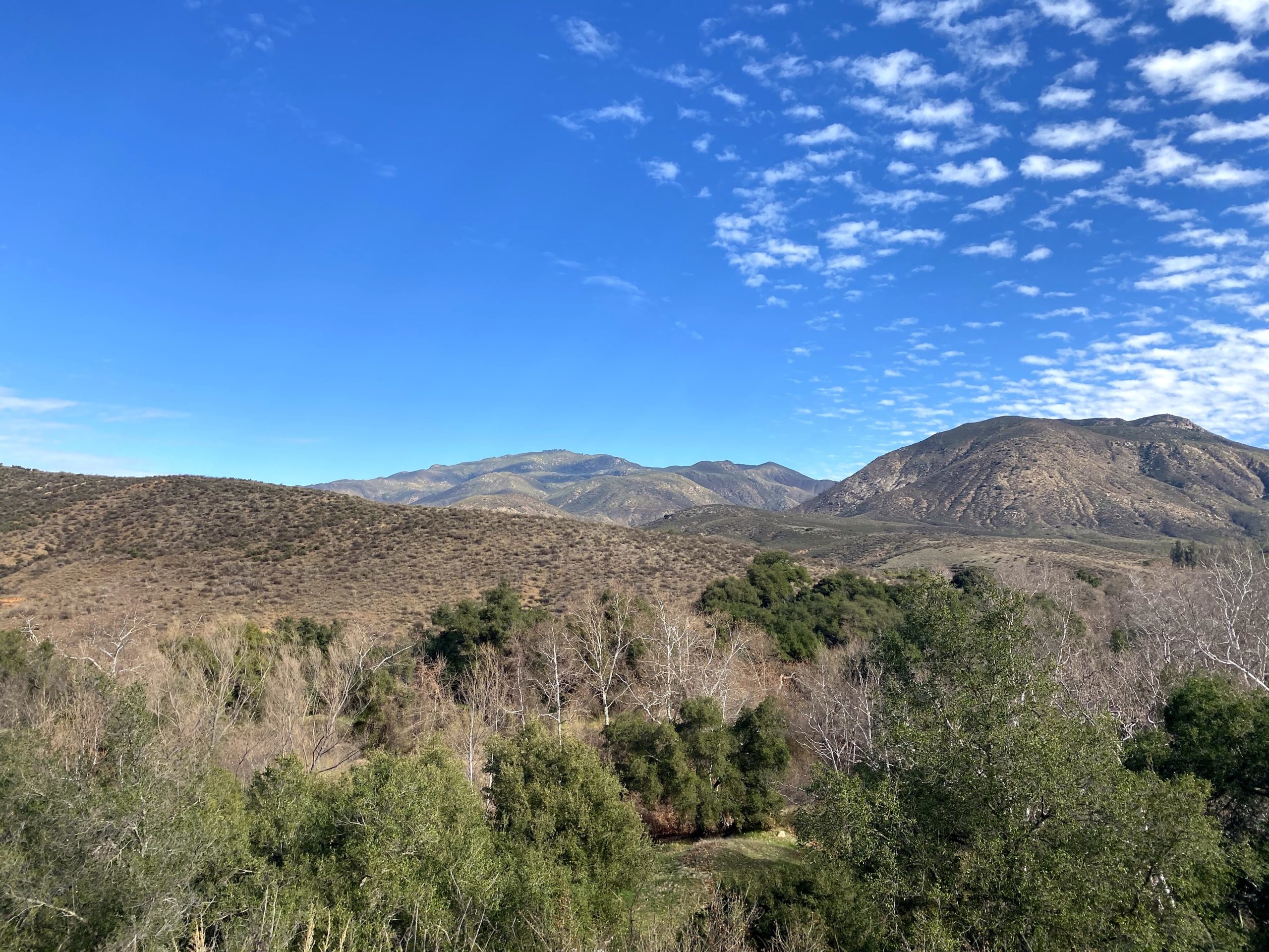
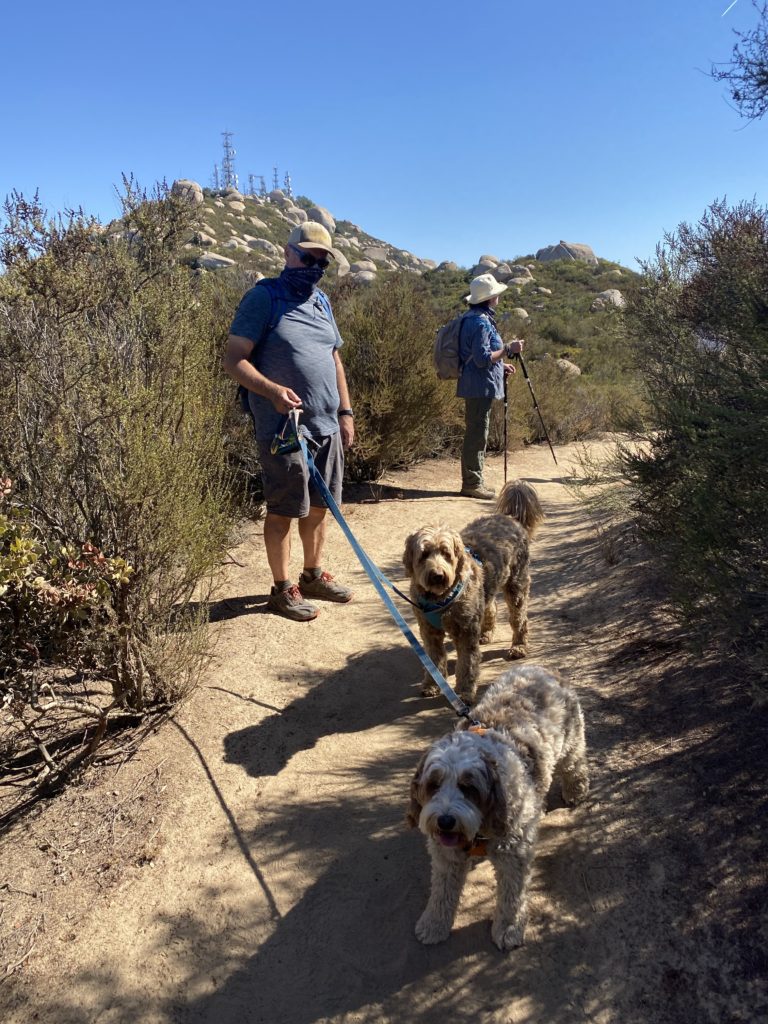
I needed a good hard hike to keep training for upcoming my Red Top/Sawtooth attempt. I considered some of the harder desert hikes as an option, but Ted needs most of those peaks and he was going to be unavailable on Sunday. I was able to convince my friend Dave to tag along for some company. Initially, I wanted to hike Agua Tibia again, but Dave’s time constraints were tighter than mine, so that was not an option. Since I signed up for the San Diego Edition of the Six-Pack of Peaks and am doing the Tour Our Trails challenge as well, I figured why not just do “The Hardest Hike in San Diego™”, aka El Cajon mountain.
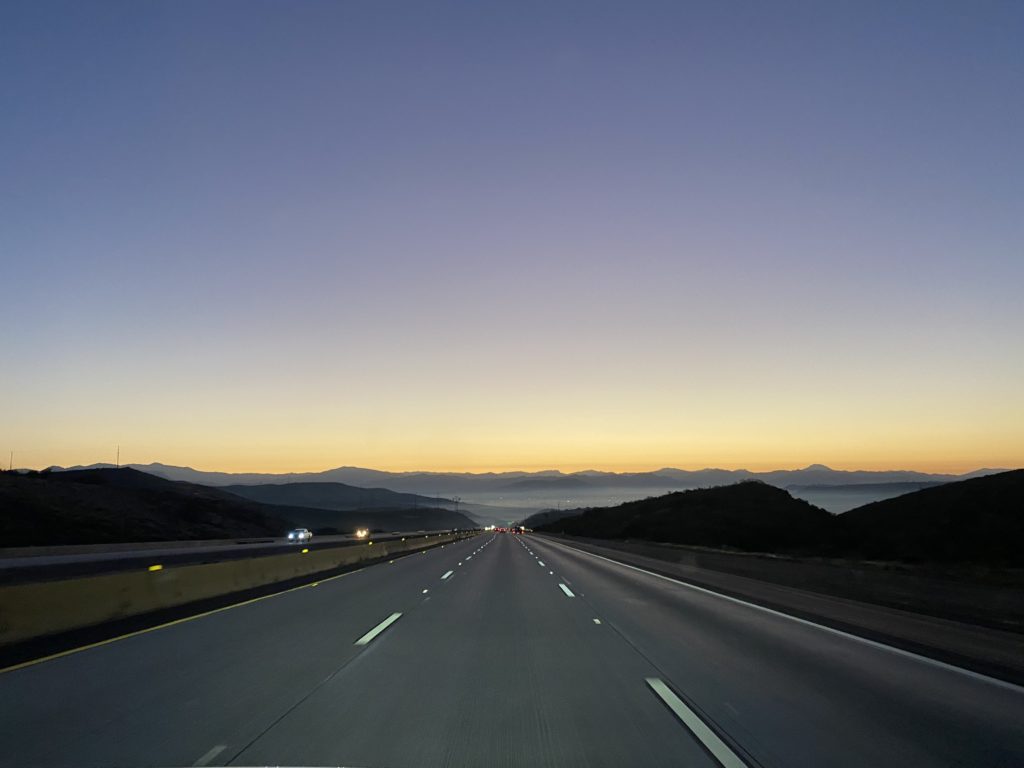
We wanted an early start as we both wanted to be home to watch the game. As we drove out to the trailhead, I snapped a photo of the morning sky for Ted, one of his favorite parts of our adventures. The parking lot was not open yet, and a modest amount of cars lined the road. We quickly geared up and set off. The fruit stand was open and looked tempting.
We shed our jackets after about a mile. I was all set to stuff into the sleeping bag compartment in my pack, only to discover I never took out the windbreaker from last weekend. So into the main part of the pack it went. The miles ticked off fairly well as we made our way up and down the trail. A few folks passed us returning to the car from probably being at the summit for sunrise.
Stopping for a quick snack just before the old jeep, we hear the sounds of someone sharing their music. This behavior annoys me to no end. I came out here to enjoy nature, not your favorite jam. We let them pass, along with their unleashed dog, then waited a bit before resuming. Finally the summit came into view and we began the last bit.
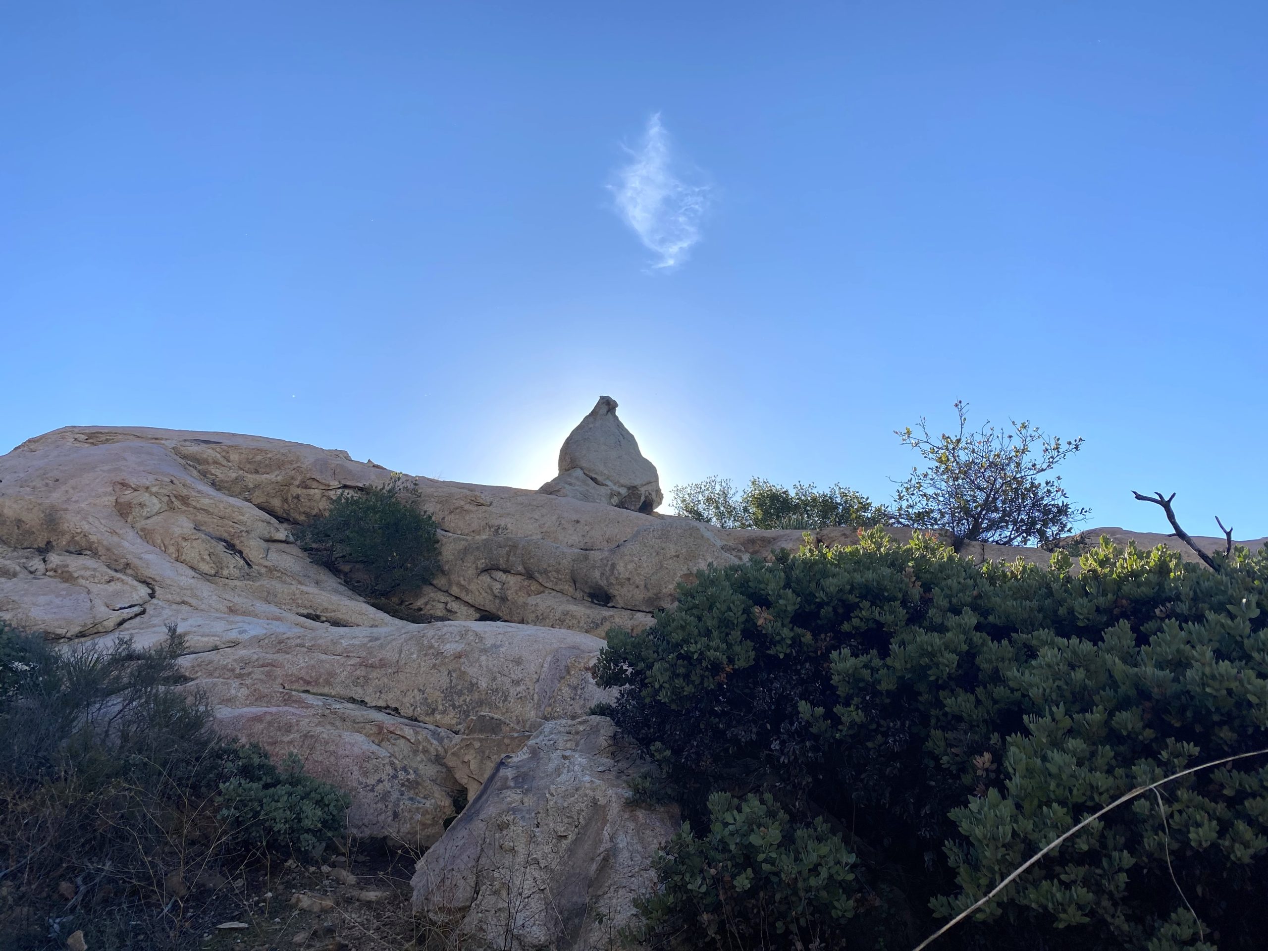
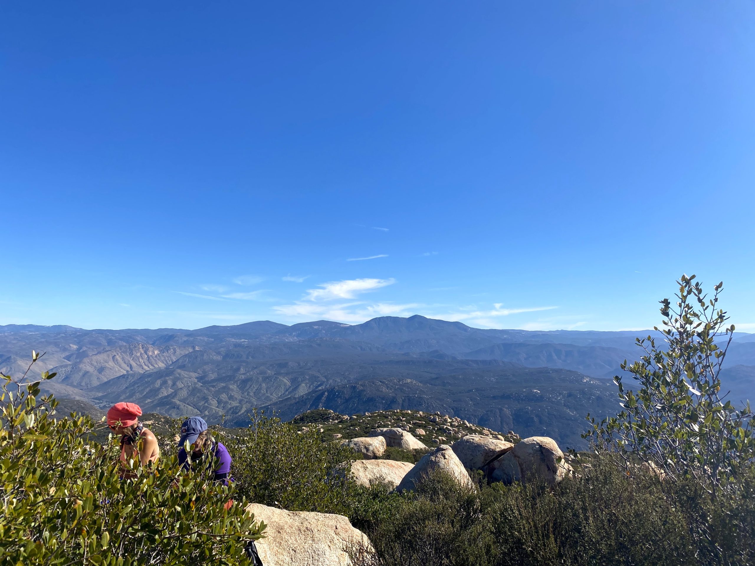
Once at the summit, there were a few people scattered about. I found a spot off the side and enjoyed my PB&J and a few orange slices, while Dave had to take care of some work-related issues. The summit sign was no longer in the ground, but it was still attached to the pole. I snapped a few photos and was ready to head out. Since folks were hanging out where the marks are located, I skipped them this time.
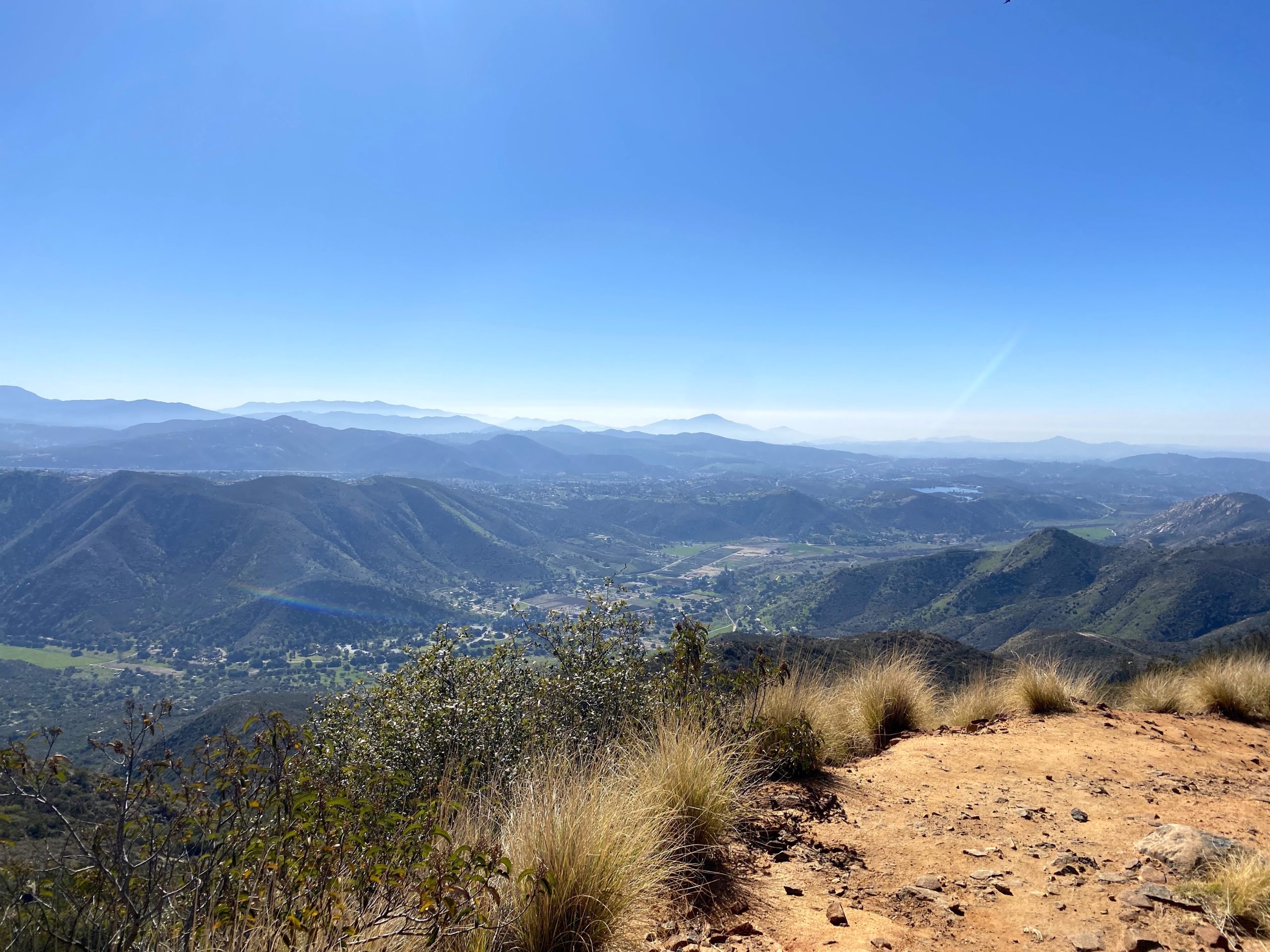
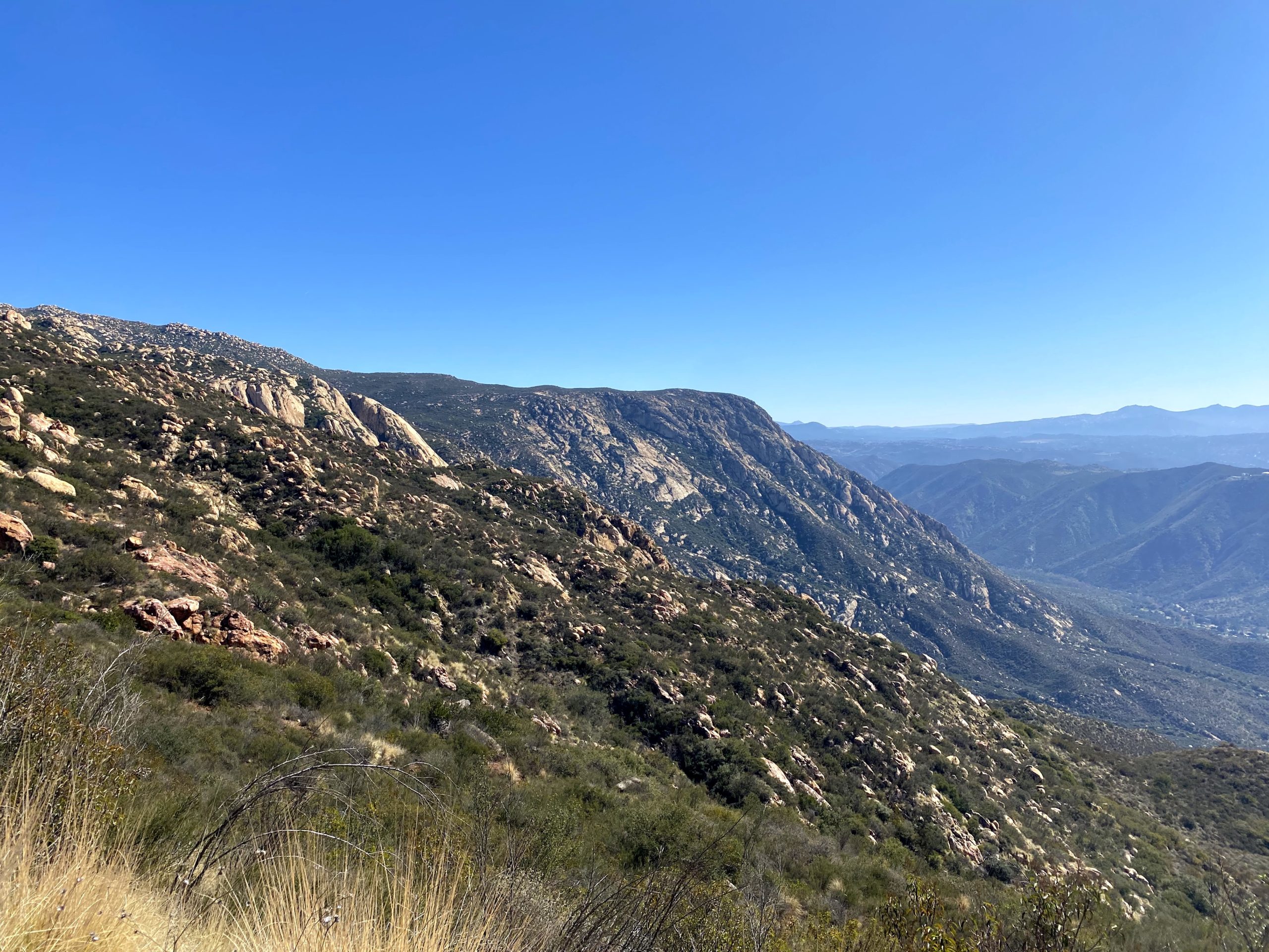
As we headed back down, we encountered more folks making their way up. Also, the day was warming up a touch. I had to think some of the folks are not going to like their hike back to the car. El Cajon is known as a hike that is “uphill, both ways”. I did regret not wearing a lighter shirt and pants, as I was starting to feel a tad warm. We plodded our way back to the car without any real issue. All told our active hiking time was 6:15, not too bad. I think if we had stayed longer at the summit, and I had some more recovery time before setting off our time could have been under 6 hours.
I am an avid peak bagger, sometimes backpacker, and former sea kayaker living in San Diego. I am the co-author of Urban Trails: San Diego, coming in Spring 2026!
This is probably my fifth time hiking the Ramona Grasslands. I have taken friends here when they were looking for an easy stroll, or as part of the Coast To Crest Challenge. This time I was here for the San Diego County Parks’ Tour Our Trails Challenge.
I am an avid peak bagger, sometimes backpacker, and former sea kayaker living in San Diego. I am the co-author of Urban Trails: San Diego, coming in Spring 2026!
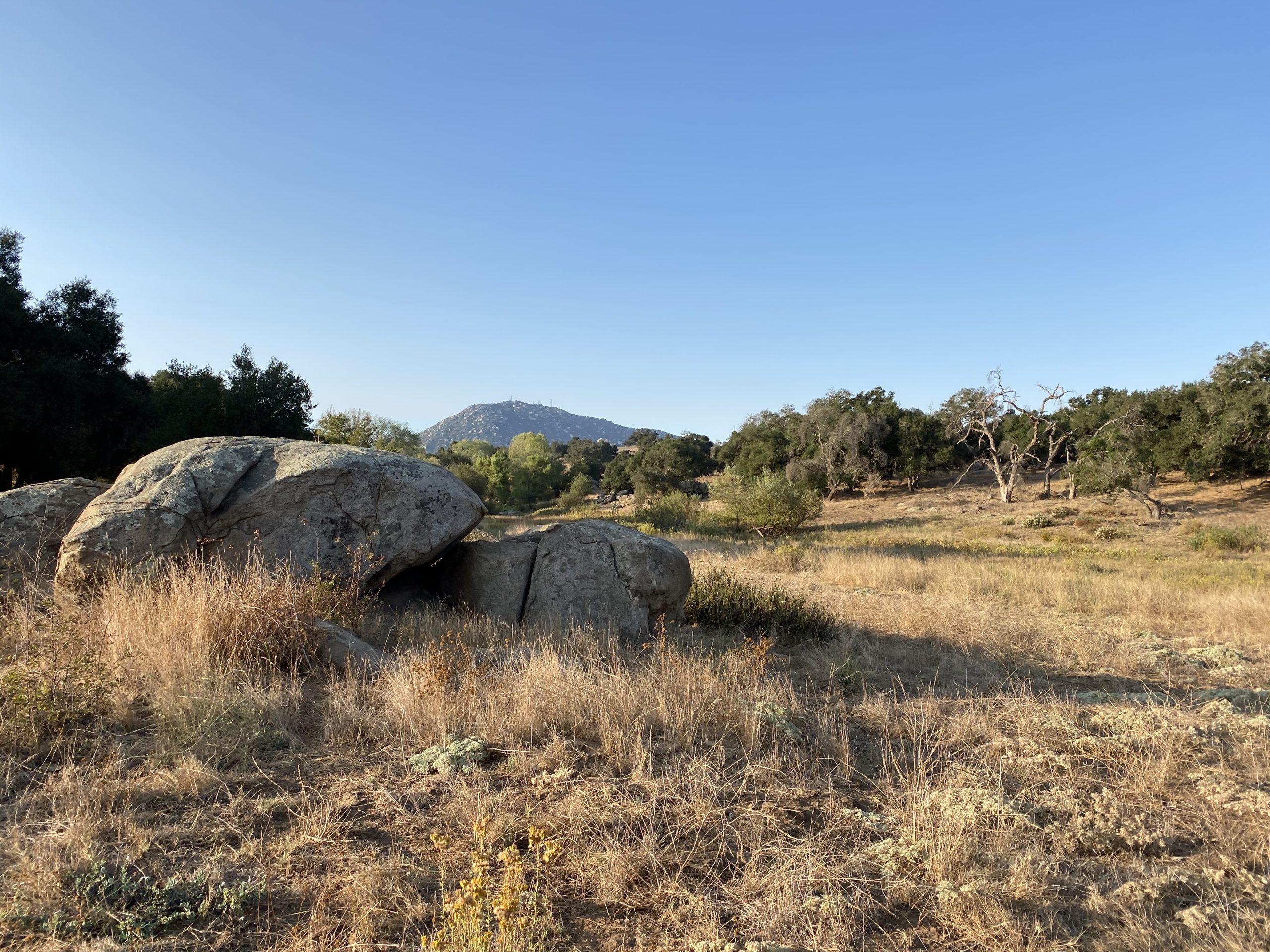
It had been some time since I had hiked Goodan Ranch, so I was looking forward to doing it again. I got there early and enjoy the quiet as I made my way down to the remains of the ranch. From there I had planned to make a big loop back to the car. But Covid had turned some of the trails into one-way routes. While I doubted I was going to encounter anyone, I wanted to be respectful of the rules.
I am an avid peak bagger, sometimes backpacker, and former sea kayaker living in San Diego. I am the co-author of Urban Trails: San Diego, coming in Spring 2026!
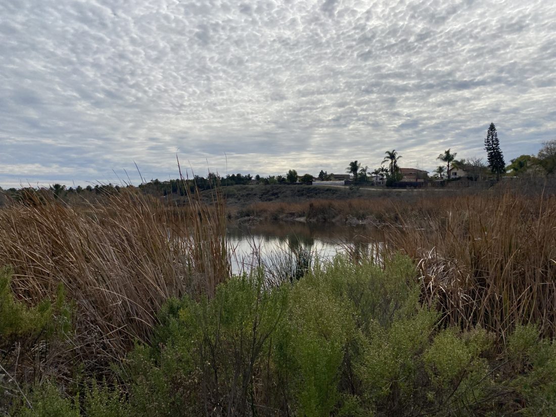
Another one of the ‘easy’ hikes on the San Diego County Parks’ Tour Our Trails Challenge, is out at Guajome Regional Park. My wife, our dog, and I drove up to Oceanside to take a nice stroll around. We did a nice loop, seeing both the south and north ponds.
I am an avid peak bagger, sometimes backpacker, and former sea kayaker living in San Diego. I am the co-author of Urban Trails: San Diego, coming in Spring 2026!
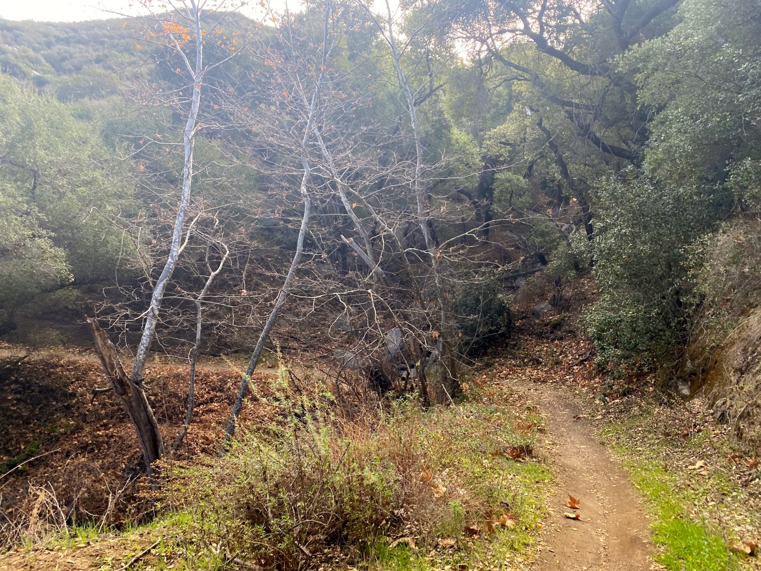
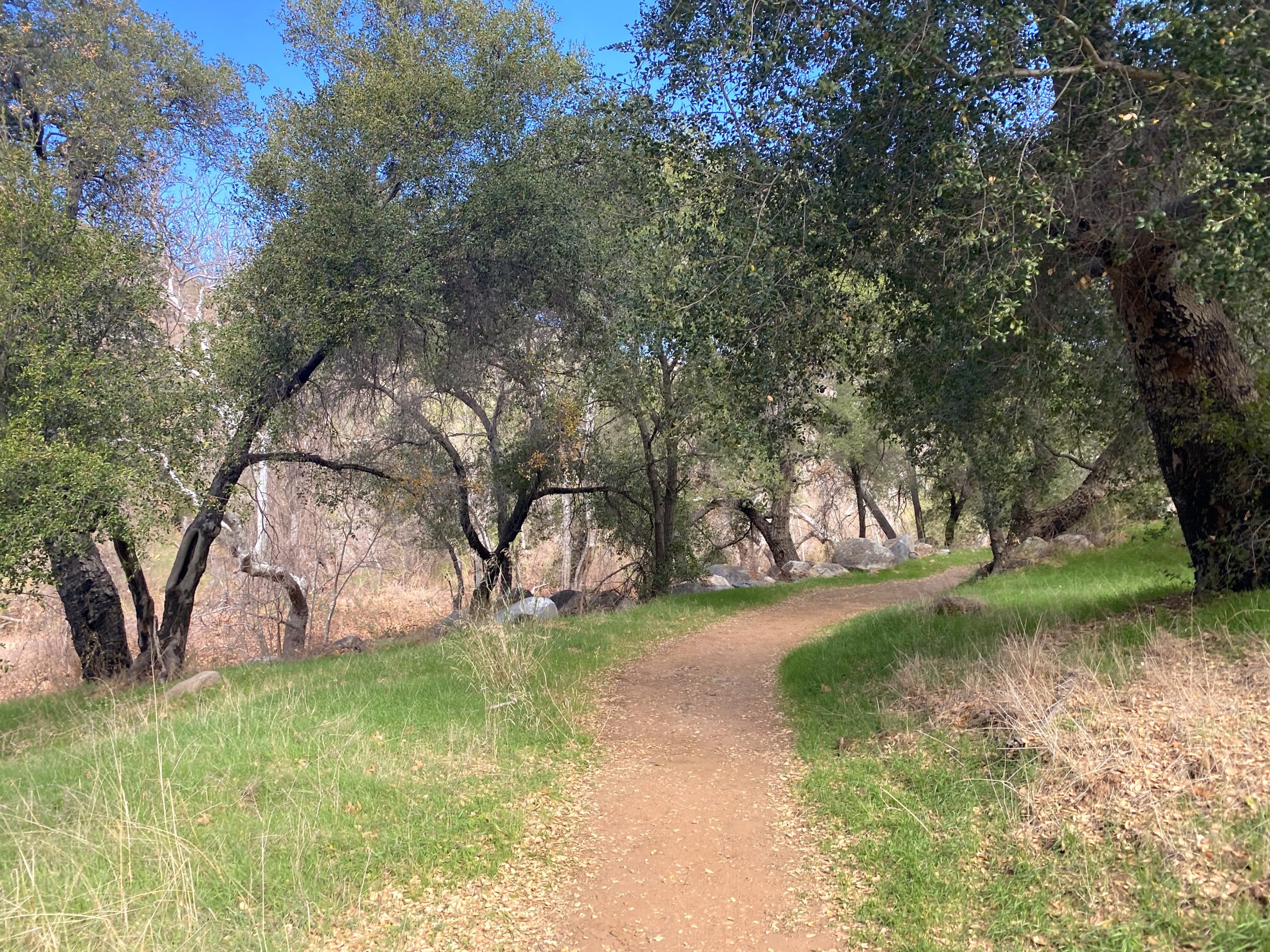
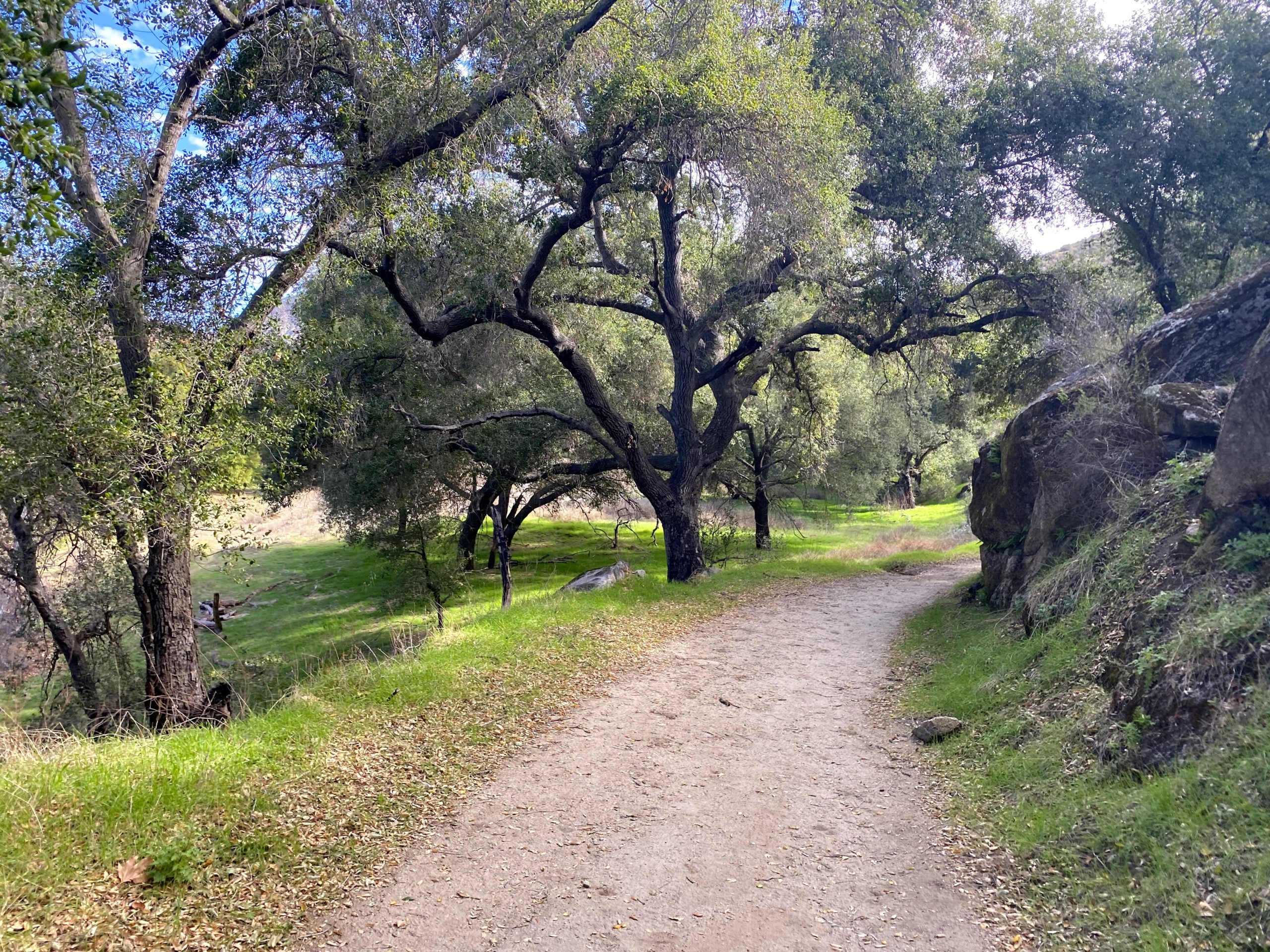
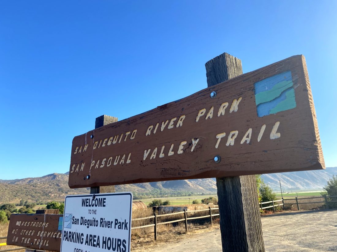
Decided to complete the 2020-2021 Coast to Crest Challenge today. The final hike I needed to do was a flat-ish 6.6 mile hike that starts in the Pamo Valley, then follows the San Dieguito River through Boden Canyon. I pulled into the same parking lot that you would use if hiking Pamo Valley, just before 9am, but instead of heading north, I set off to the west.
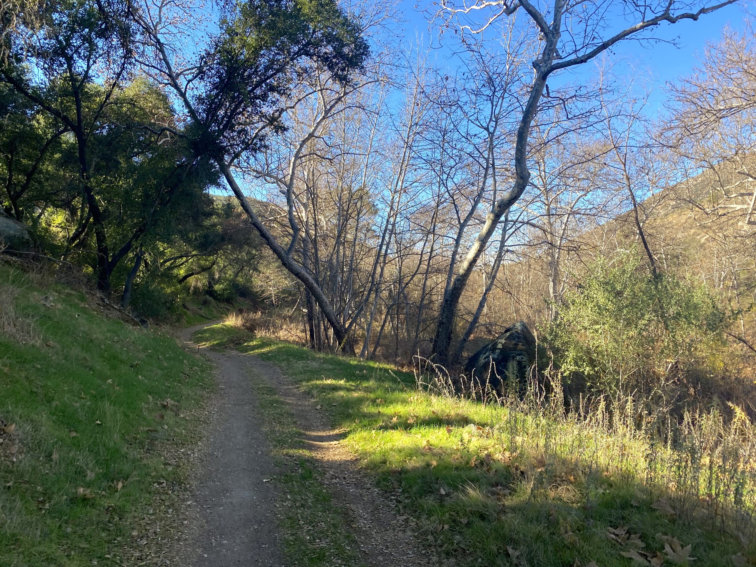
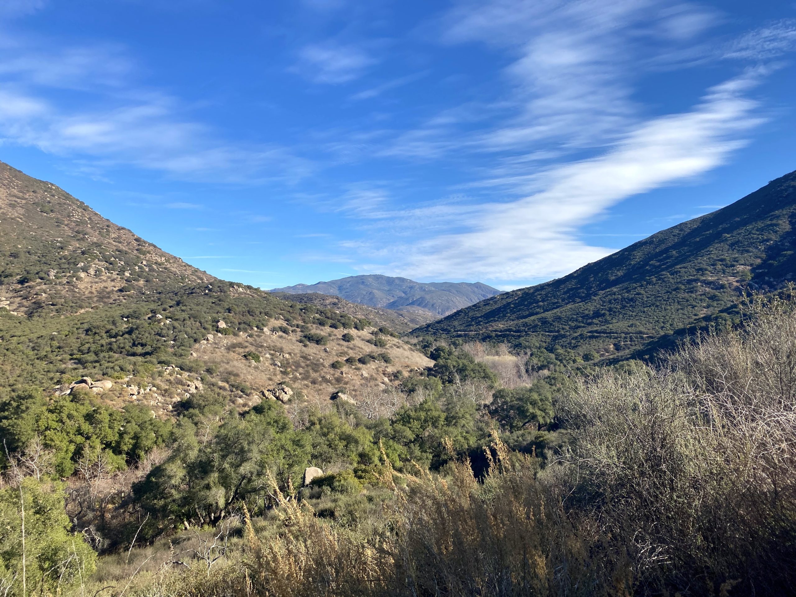
I knew this hike would be another good test of my knee, as it had some minor elevation gains, but also a nice amount of distance as well. The hike began with a gentle and short climb before leveling out for a while. I cruised along the wide trail as it weaved its way along the south side of the canyon. I was surprised at the beauty along much of this trail. Boden Canyon is certainly a hidden gem of a hike. My only regret was not doing it when the river might be flowing to add to the experience.
After about 3.3 miles, I reached the junction with the Orosco Truck Trail and the start of Clevenger Canyon. This was the designated “selfie spot”. The trail continued westward for a short distance before reaching Highway 78. In fact, there was a small trailhead there as well. I took my photo and began retracing my route. I encountered several groups of hikers and mountain bikers as I made my way back to the trailhead. When I got back to the car, the lot was mostly full. I have really enjoyed this year’s Coast to Crest Challenge.
I am an avid peak bagger, sometimes backpacker, and former sea kayaker living in San Diego. I am the co-author of Urban Trails: San Diego, coming in Spring 2026!
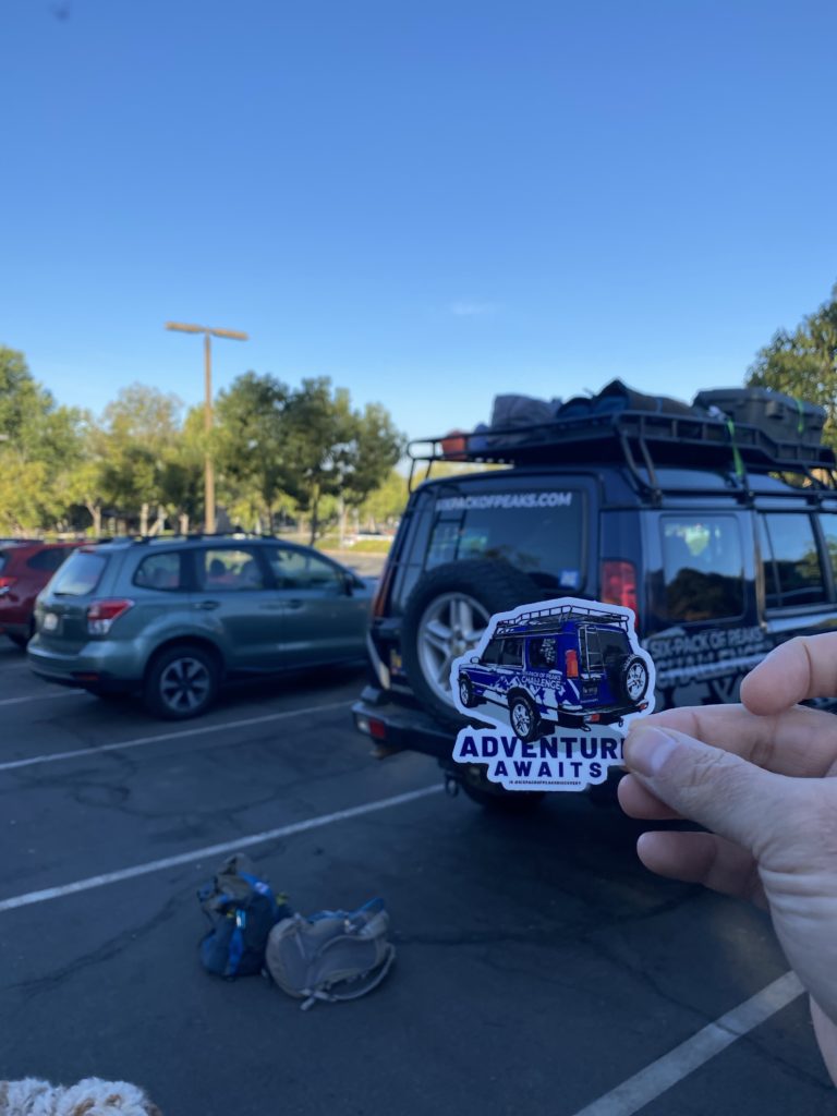
Jeff Hester, creator of the Six Pack of Peaks, was in town summiting most of the Six Pack’s San Diego peaks. He, along with his wife Joan, plus their two dogs, invited Derek Loranger and myself to join them climbing Mt. Woodson. Lately when I do Mt. Woodson, the hike has been a full moon hike, so I take the service road up from the Ramona side. It has been years since I used the trail from the Lake Poway side. Jeff was running late, so Derek and I chatted about how he was progressing on finishing his challenge and the fact there were now two more finishers to add to the list.
We spotted their newly wrapped SUV as it drove into the parking lot. Once we were all settled and geared up, we set off. Derek, Jeff and the dogs lead the way, while I stayed with Joan, chatting as we circled around the lake.
We stopped every so often to make sure the dogs got some water and take in the views. I would point out the various landmarks (aka: other peaks) along the way. We continued working our way up toward the summit, and after a while both Derek and I picked up the pace, with Jeff and Joan’s blessing. I was still feeling all the hiking I did in Sedona, as well as the drive back, so Derek pulled away from me.
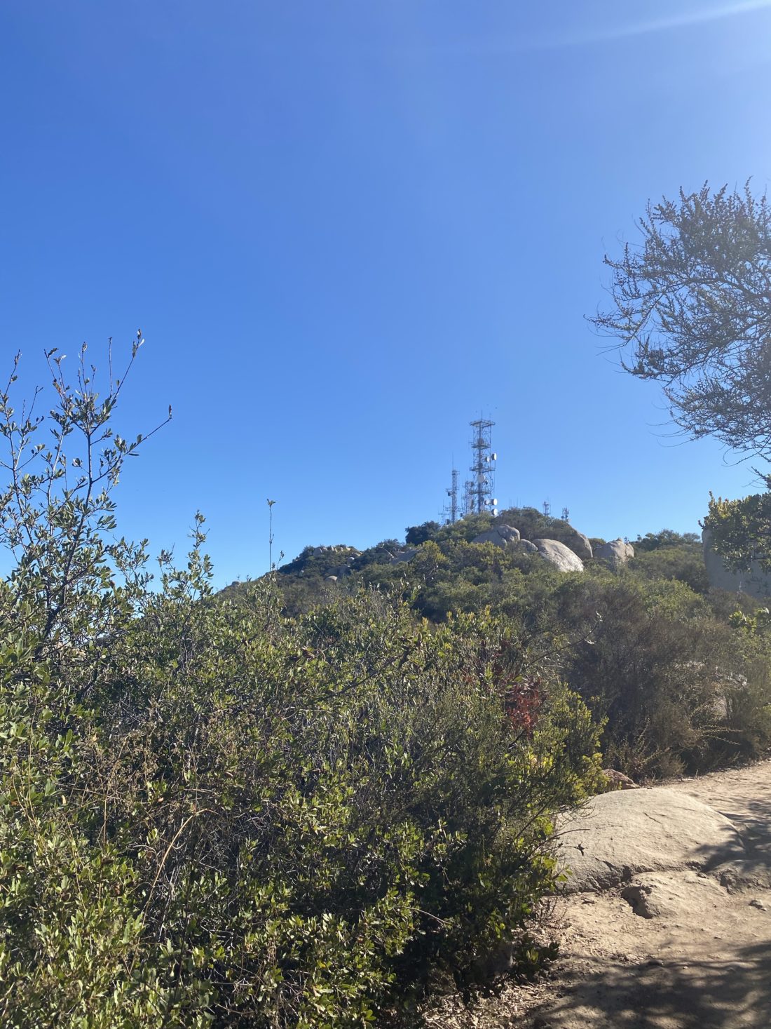
There was a crowd milling around the Potato Chip, so I just kept going for about .2 miles to the towers. Derek was sitting on log, enjoying the views to the west. We chatted some more, this time about our profession (my current, which is also his former) of being in the user experience field. After a bit, Jeff, Joan and the dogs rejoined us. They had done the ‘Chip’ but their phone ran out of battery, so no photo. We offered to wait and get it on the way down, but they were ok.
I wanted to try to climb back up the summit block and retake the benchmark photo again. Jeff and Derek followed me around to the block on the east side of the towers. Both declined to try to make the scramble up the rock. I carefully pulled myself up the ledge and finally onto the summit block. Carefully taking multiple photos of the reference marks and the actual benchmark, I scrambled back down.
With that task done, we set off back down the trail. Not before giving directions to the ‘Chip’ to several people who had made their way up via the service road. Derek needed to get back down and get to work at his restaurant, Burger Bench. I cruised down with Jeff for most of the way, chatting about hiking challenges, what running 6POP was like, and so on. We would stop for breaks for the dogs and to regroup with Joan.
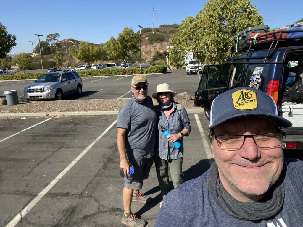
Soon we found ourselves back at the parking lot. Since we took the climb at a more mellow pace, and Jeff was a tad late, we had to skip lunch at Burger Bench due to early afternoon commitments. We took a socially distanced photo and said our goodbyes.
I am an avid peak bagger, sometimes backpacker, and former sea kayaker living in San Diego. I am the co-author of Urban Trails: San Diego, coming in Spring 2026!
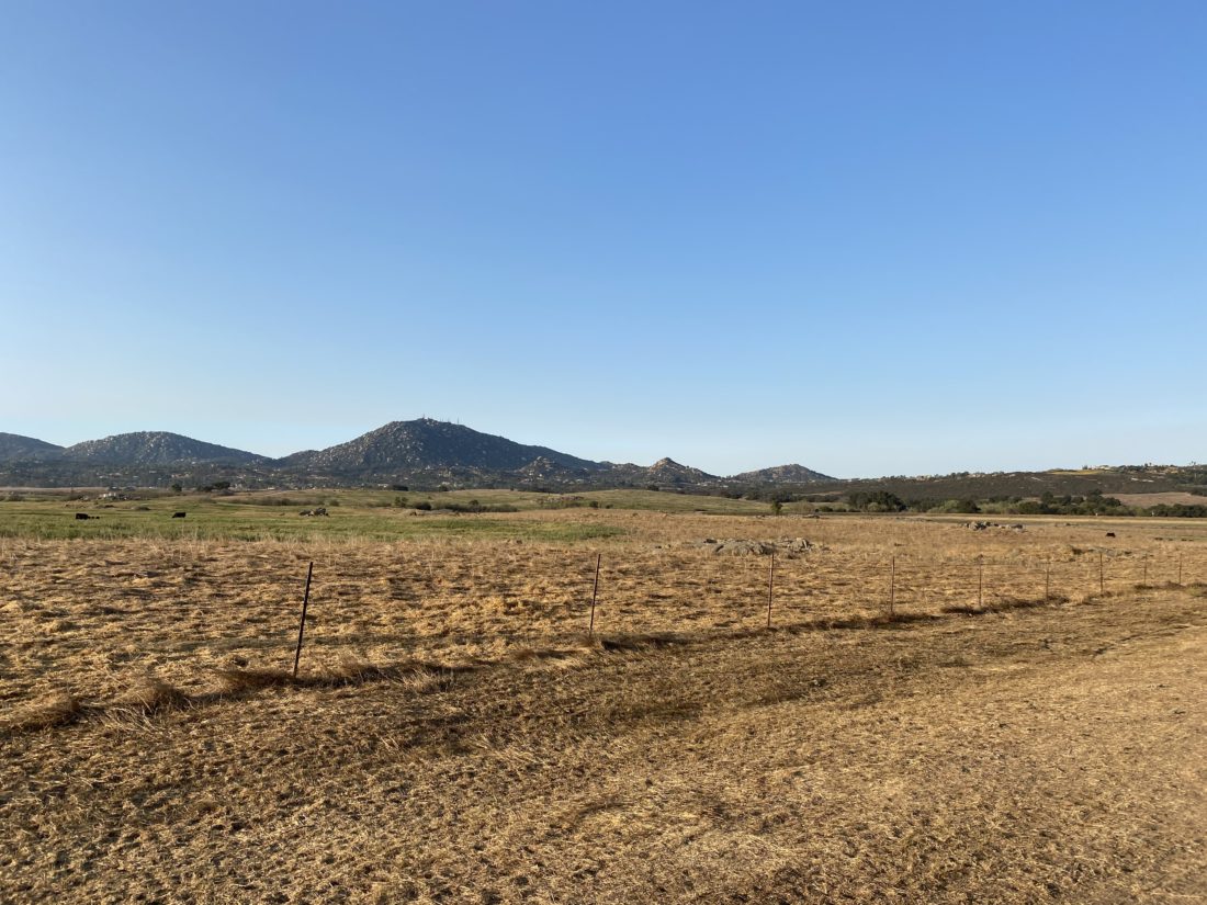
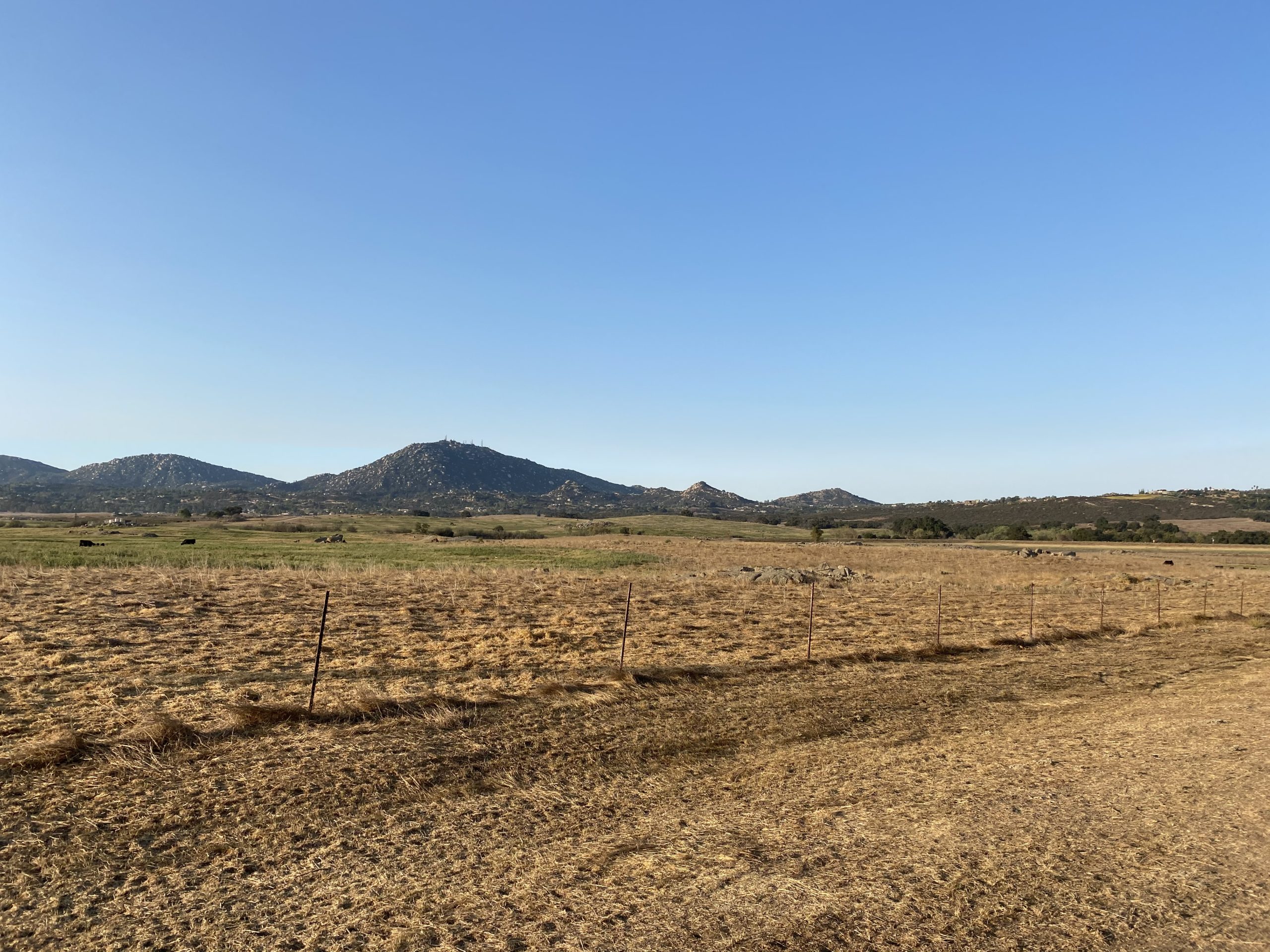
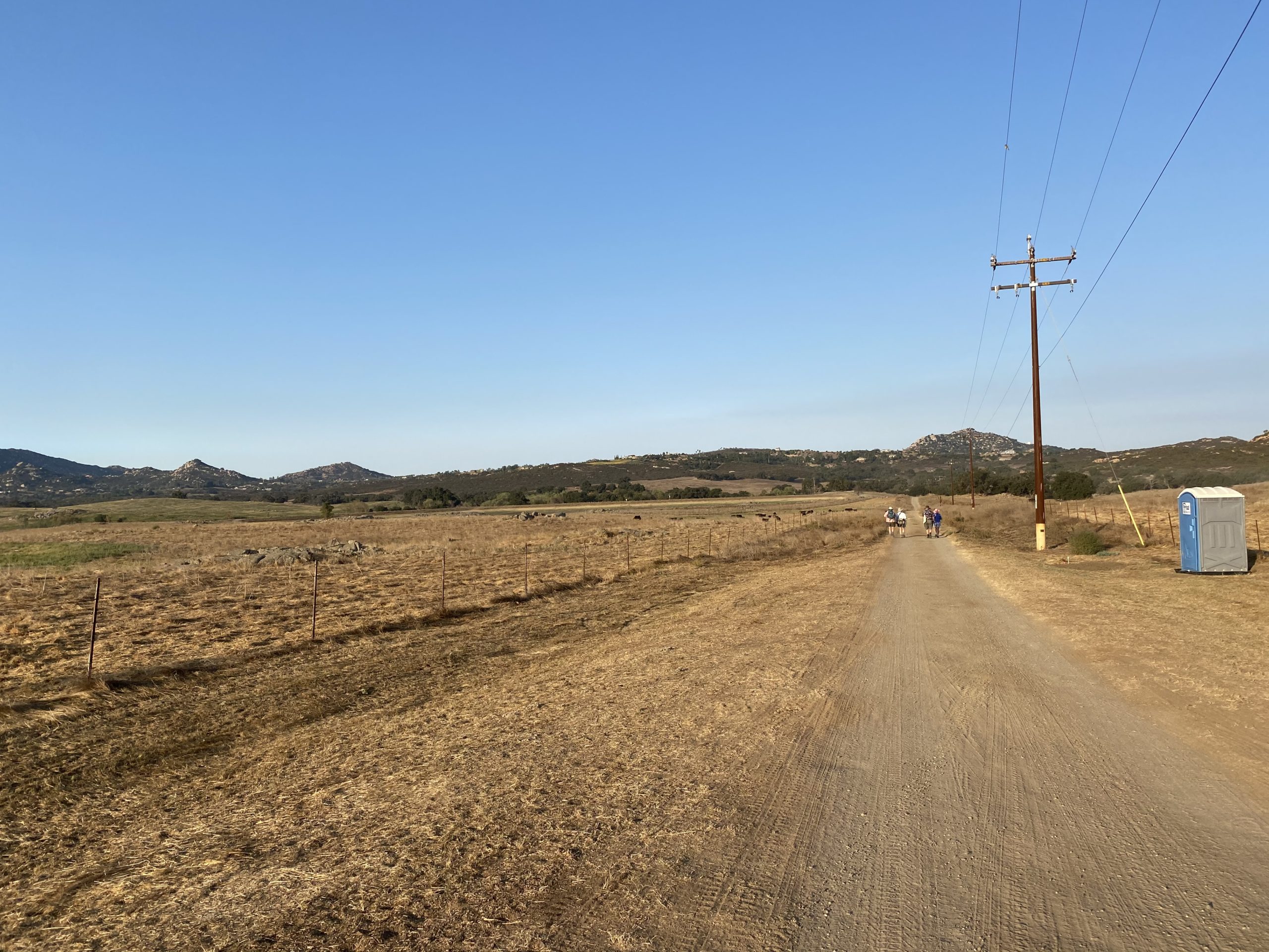
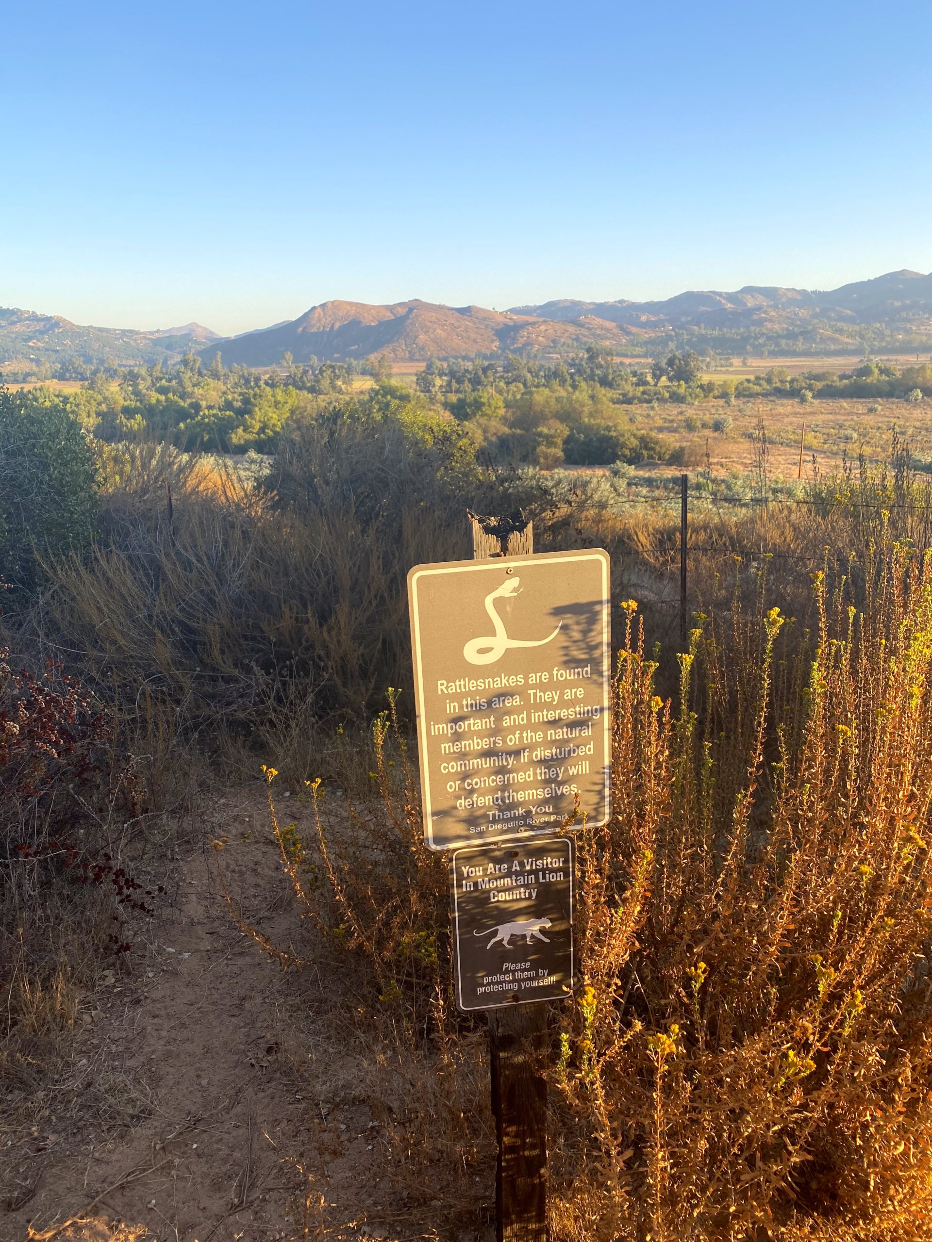
Ted Markus and I had a chance to hike the Old Survey Road out on the Ramona Grasslands. This hike requires a permit and is limited to 50 per day. The trail is only open on weekends and for just a few months of the year. While we knew today was going to be warm, it was just about our last chance to explore it.
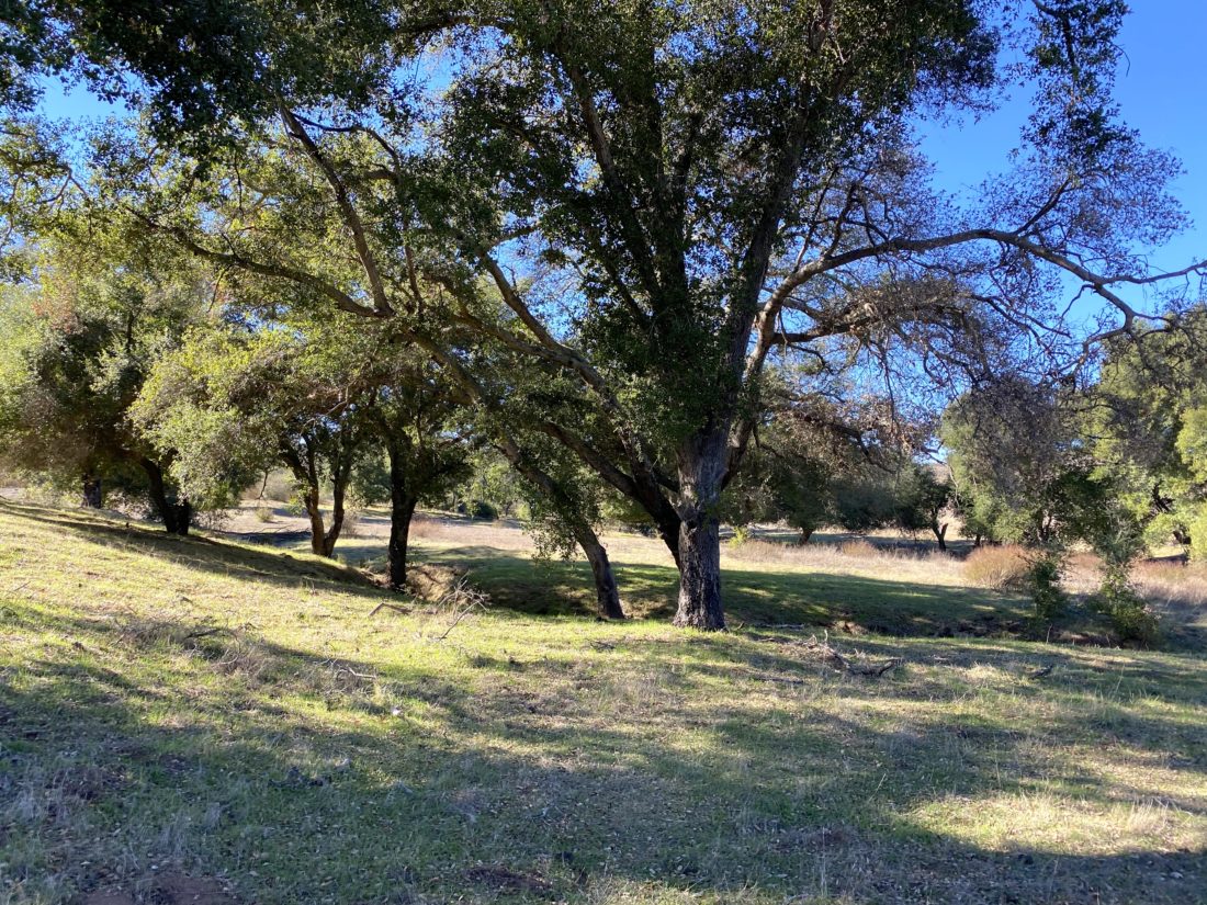
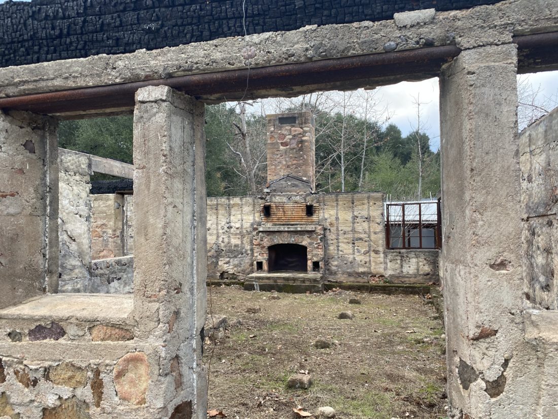
We arrived just before 8, and a group of four hikers were ahead of us, waiting to have their permits checked by the ranger. Once signed in, we headed down the dirt road. Cows to the left, Bulls on our right. The trail worked its way back to the northwest, past the ruins of a house and a lovely picnic bench under the shade of some oaks.
The main attraction is the chance to possibly see some Golden Eagles. This the main reason for the closure dates, to allow for proper nesting in the nearby rocks.
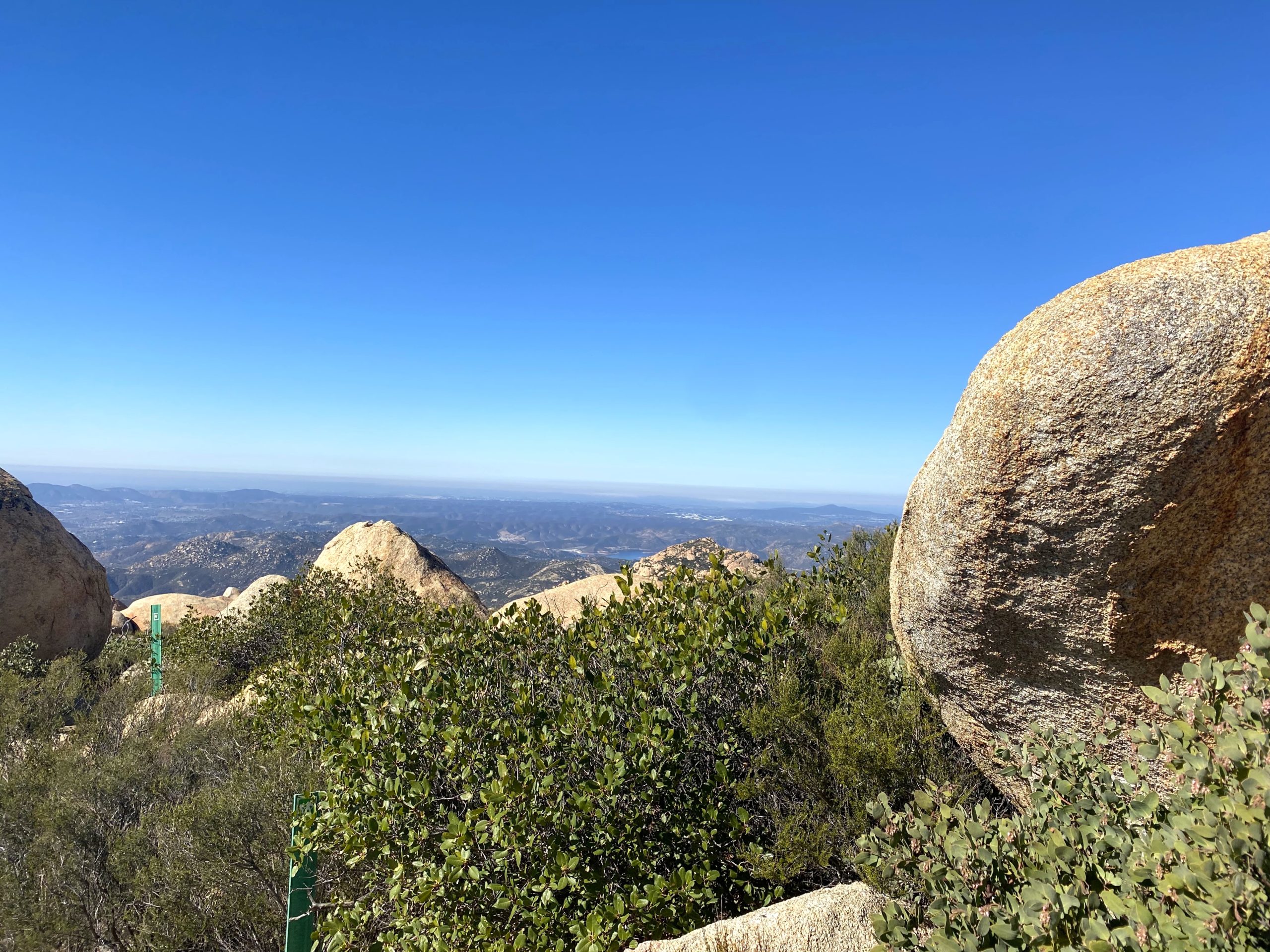
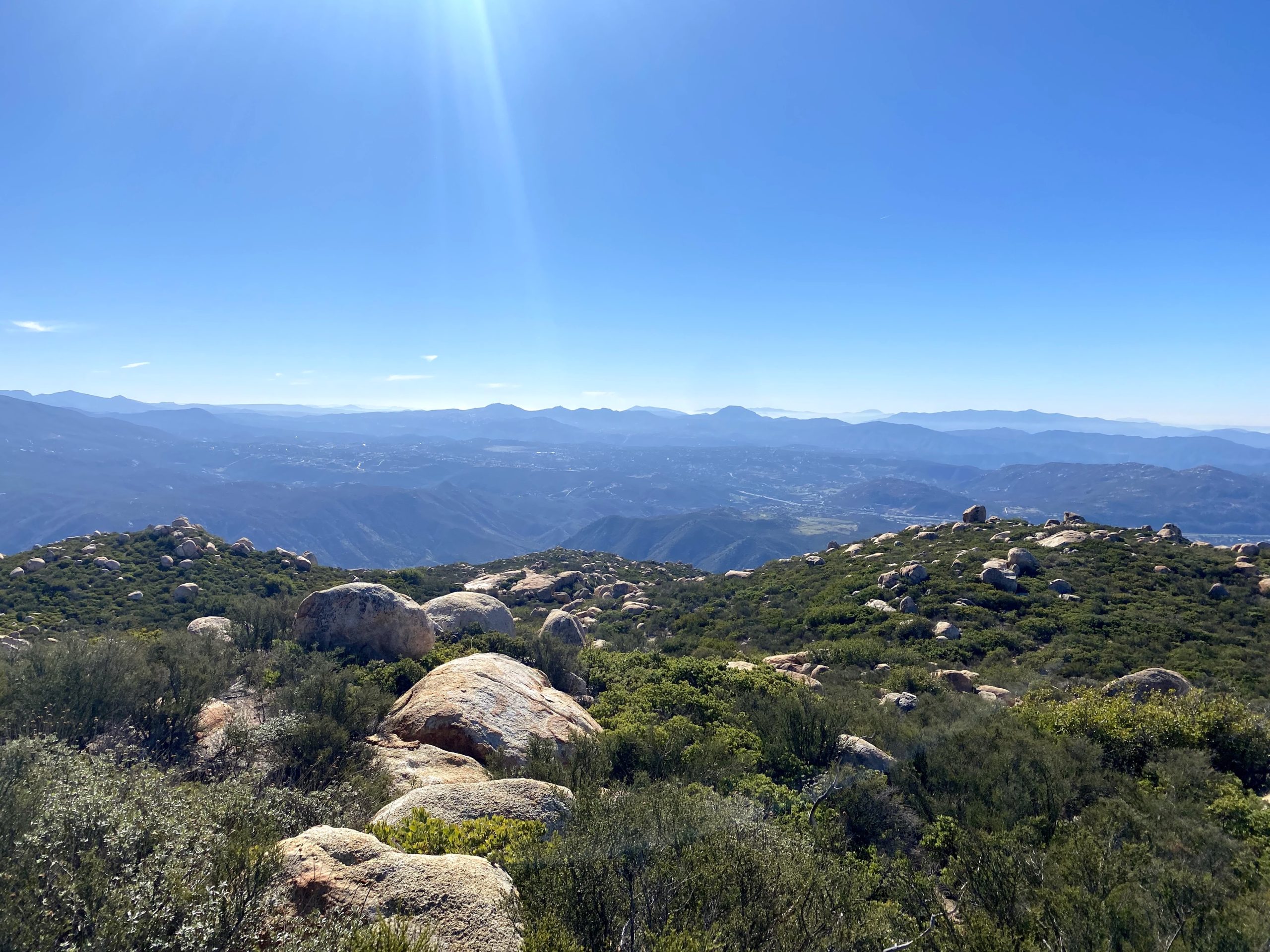
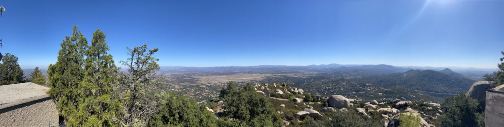
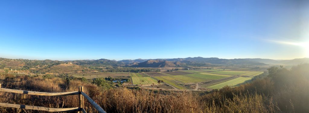
We climbed a small hill and were rewarded with a nice view of San Pasqual Valley. The Safari Park’s hot air balloon was clearly visible, as was much of the trail I took on Thursday.
We had a decent descent to the trail’s end. After snapping a few photos and waiting for the group that was ahead of us to have a chance to make some progress climbing back up, we set off. Neither of us was in a rush. A few more people passed us by as we made our way back, including one horseback rider.
As we drew closer to the car, we both commented that the day was certainly heating up. After checking back in with the ranger we tossed our gear into the car and turned on the AC. The thermostat read about 94 at just after 10 am. If you can get a permit and can do it, it was a really pleasant stroll.
I am an avid peak bagger, sometimes backpacker, and former sea kayaker living in San Diego. I am the co-author of Urban Trails: San Diego, coming in Spring 2026!
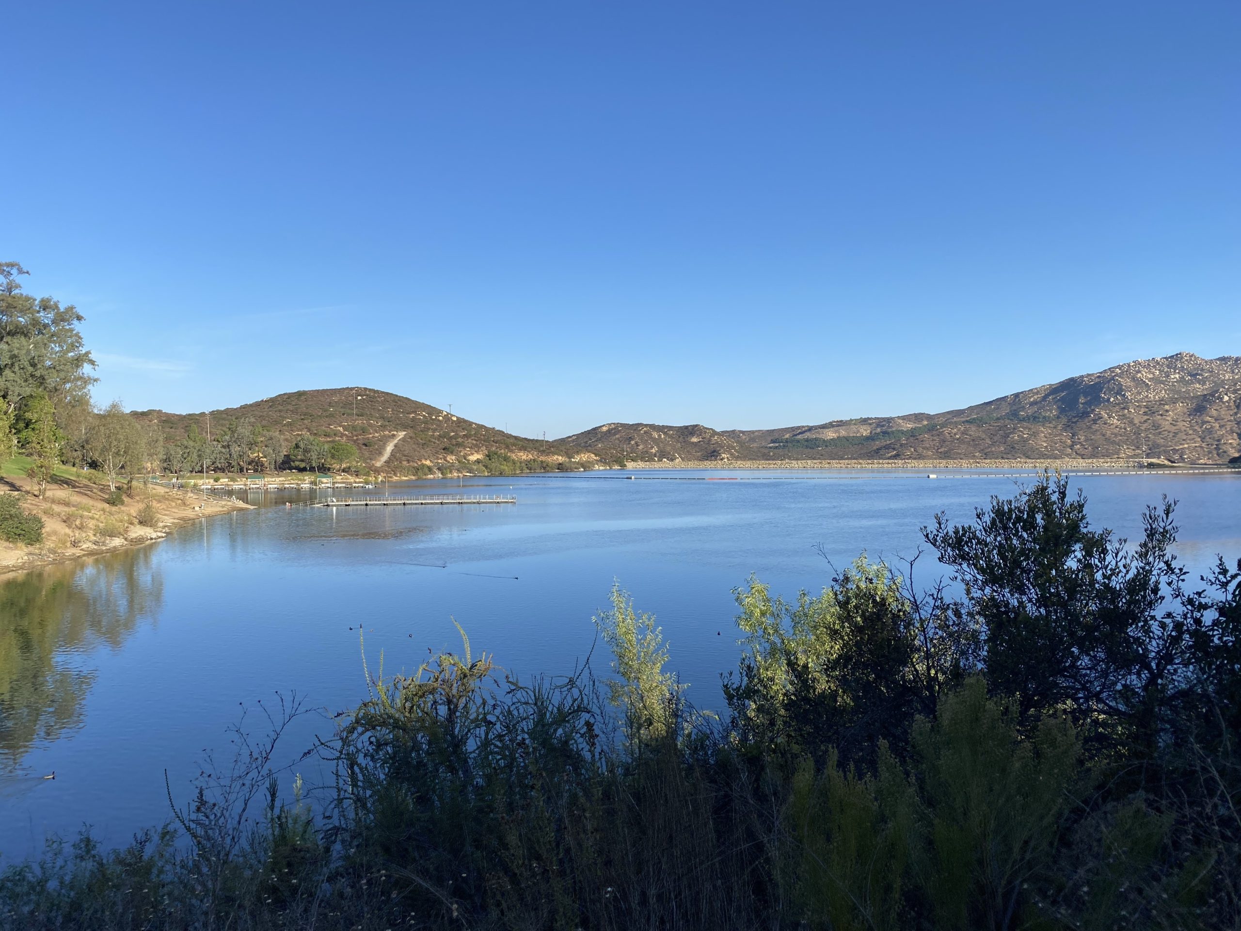
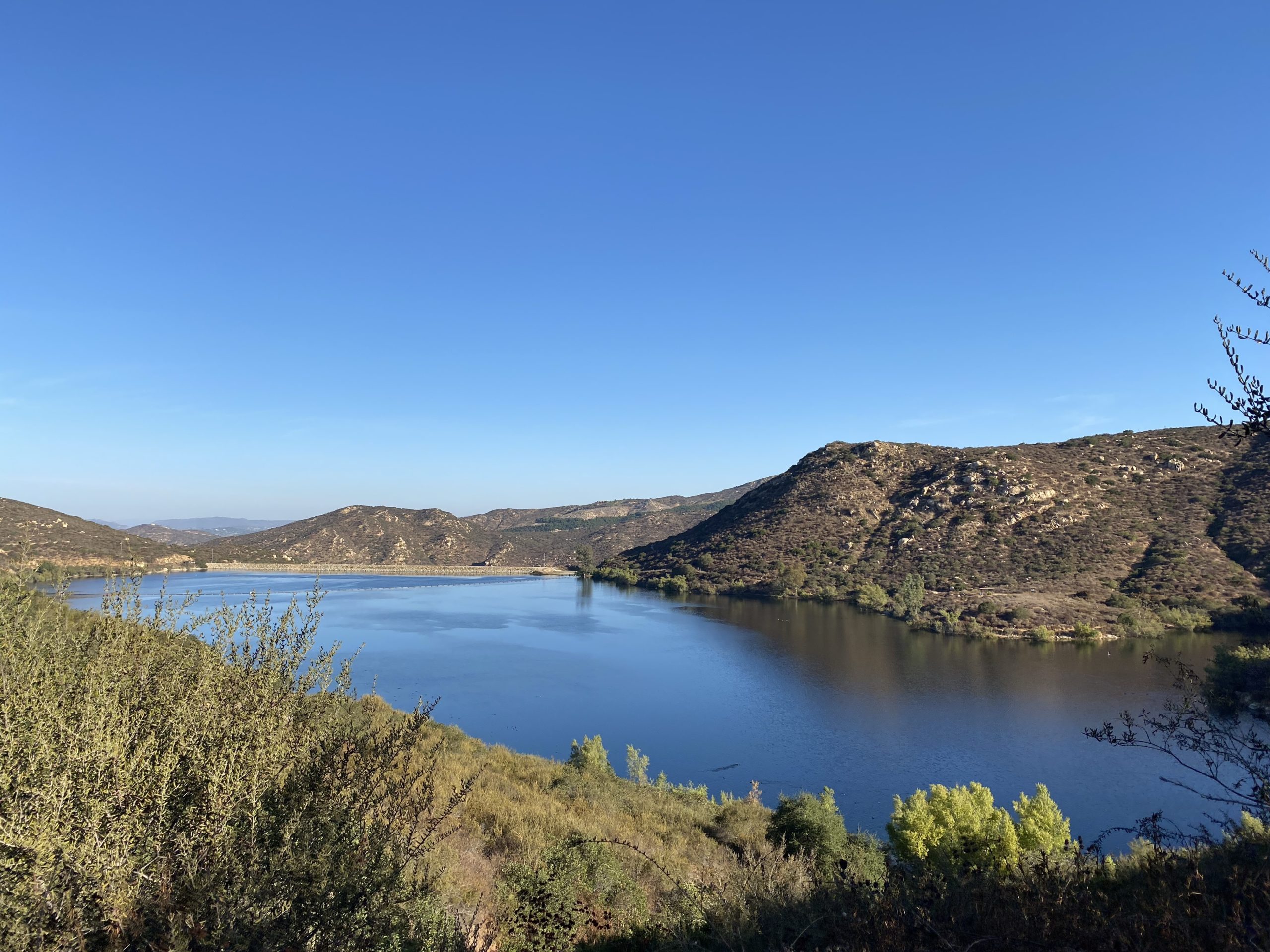
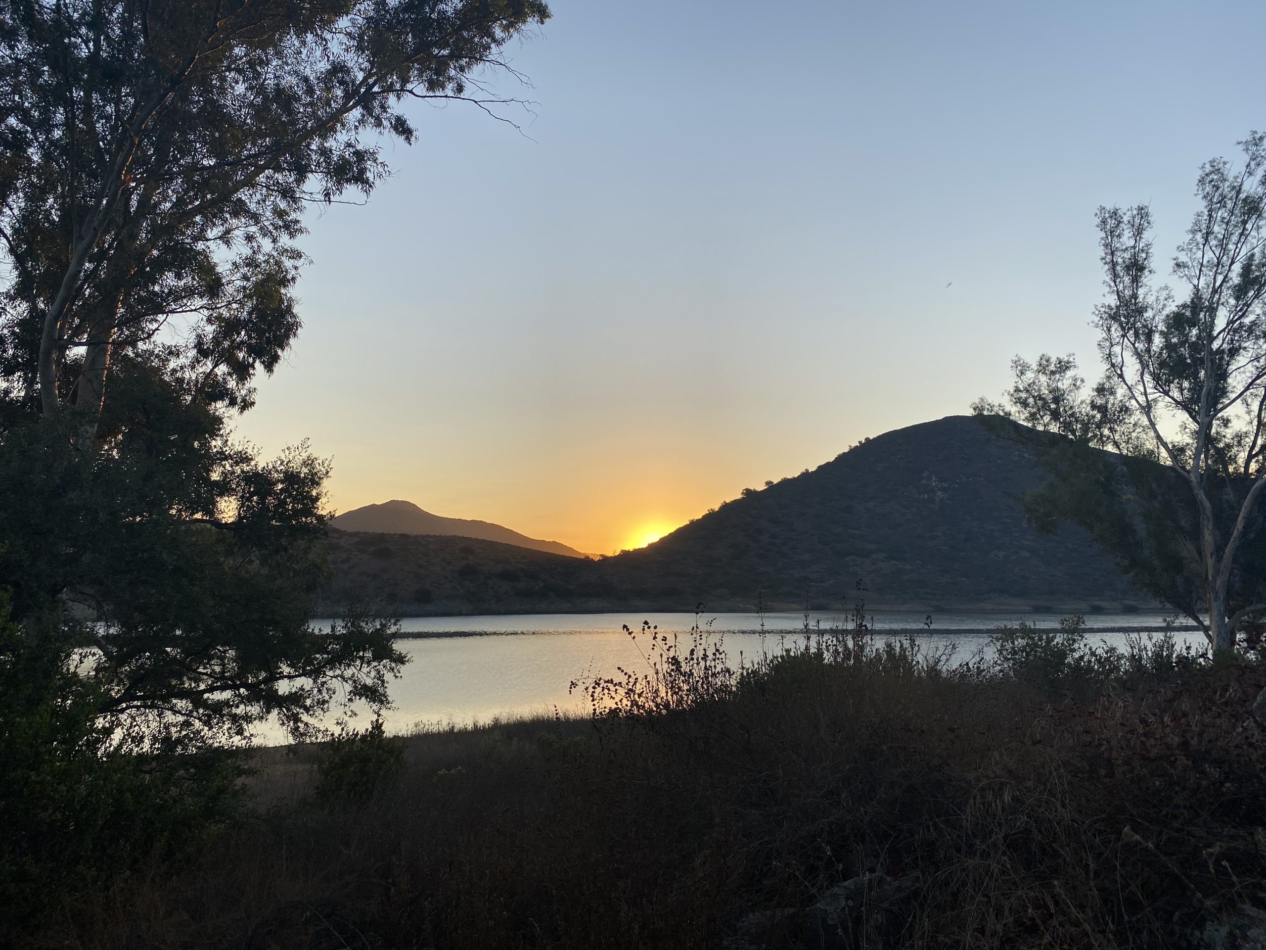
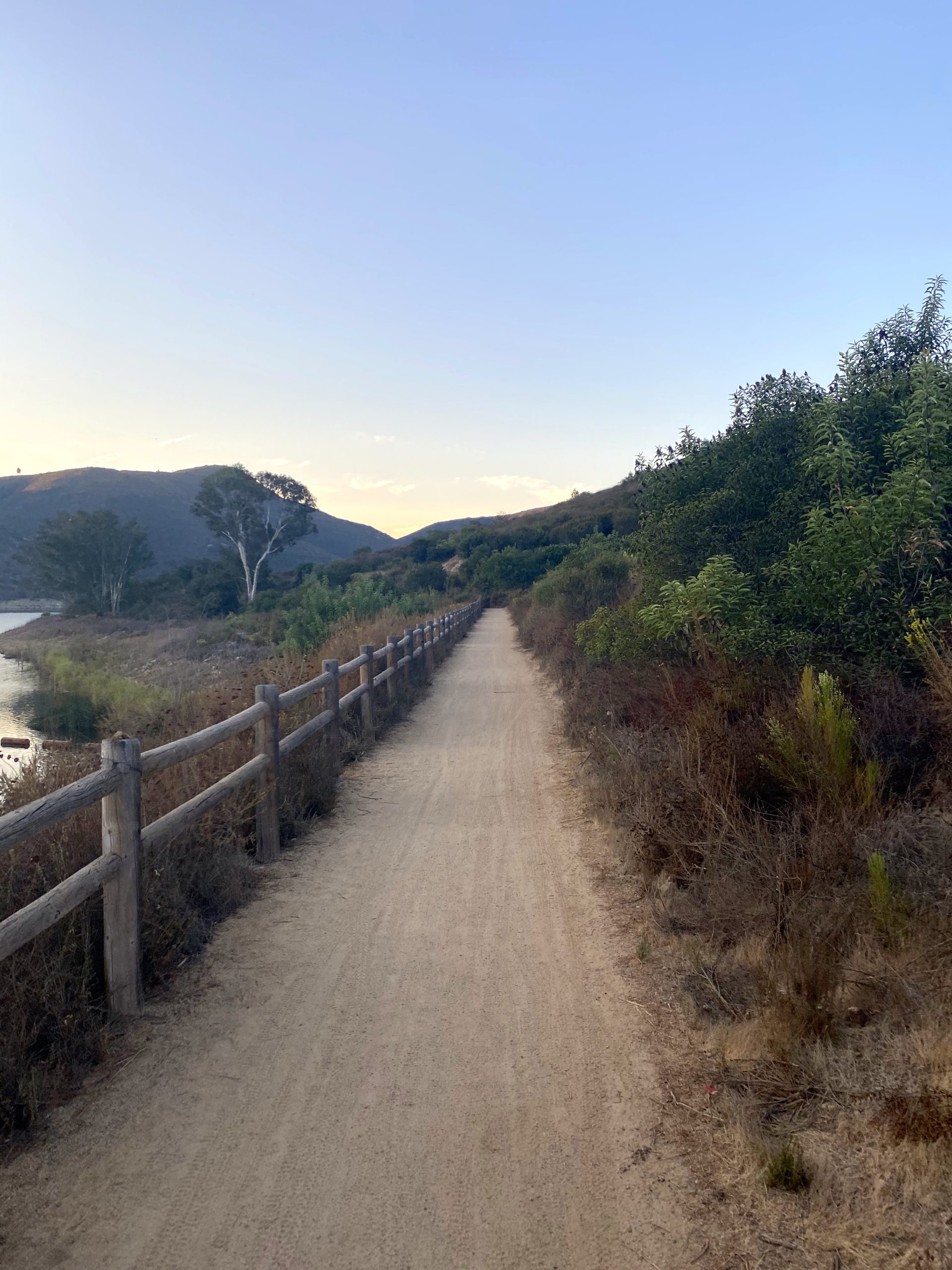
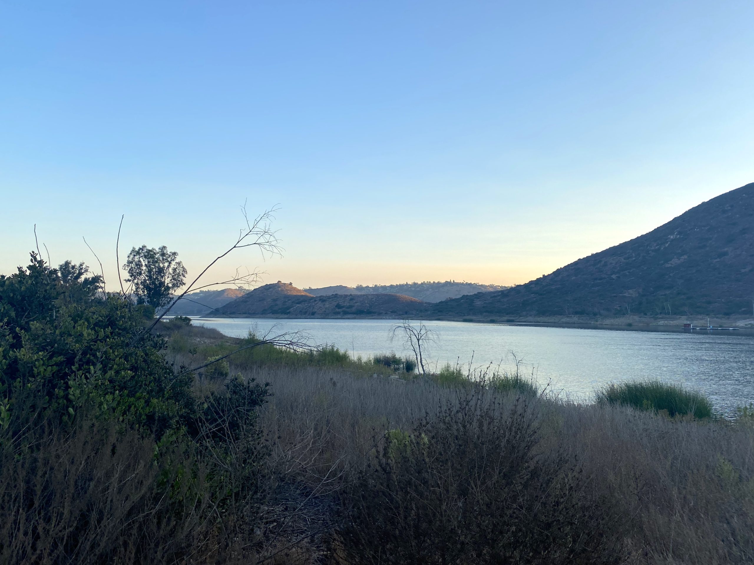
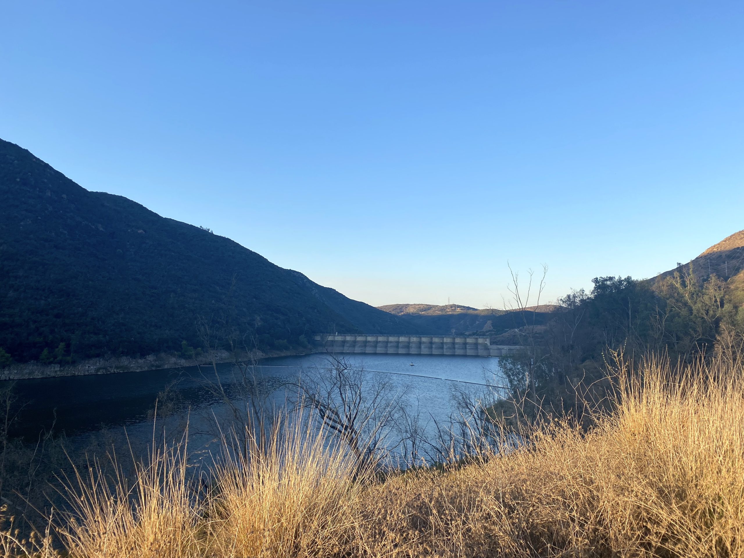
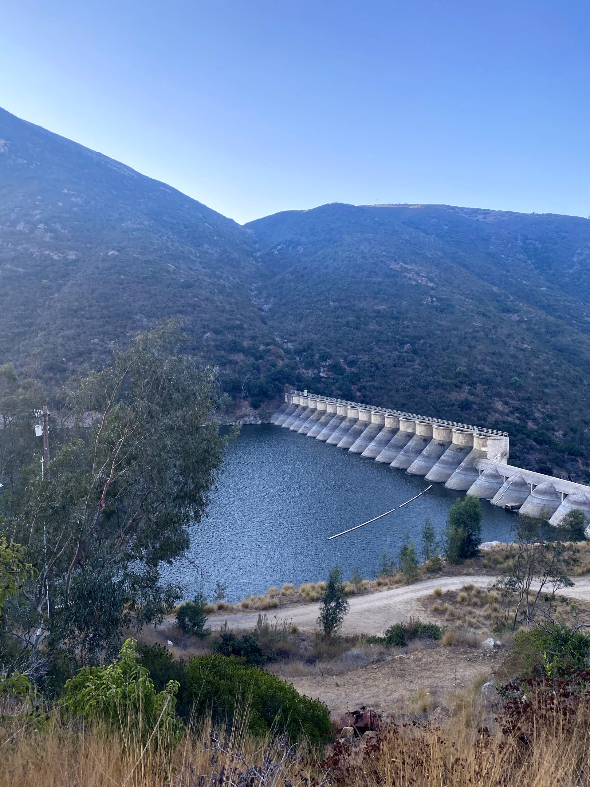
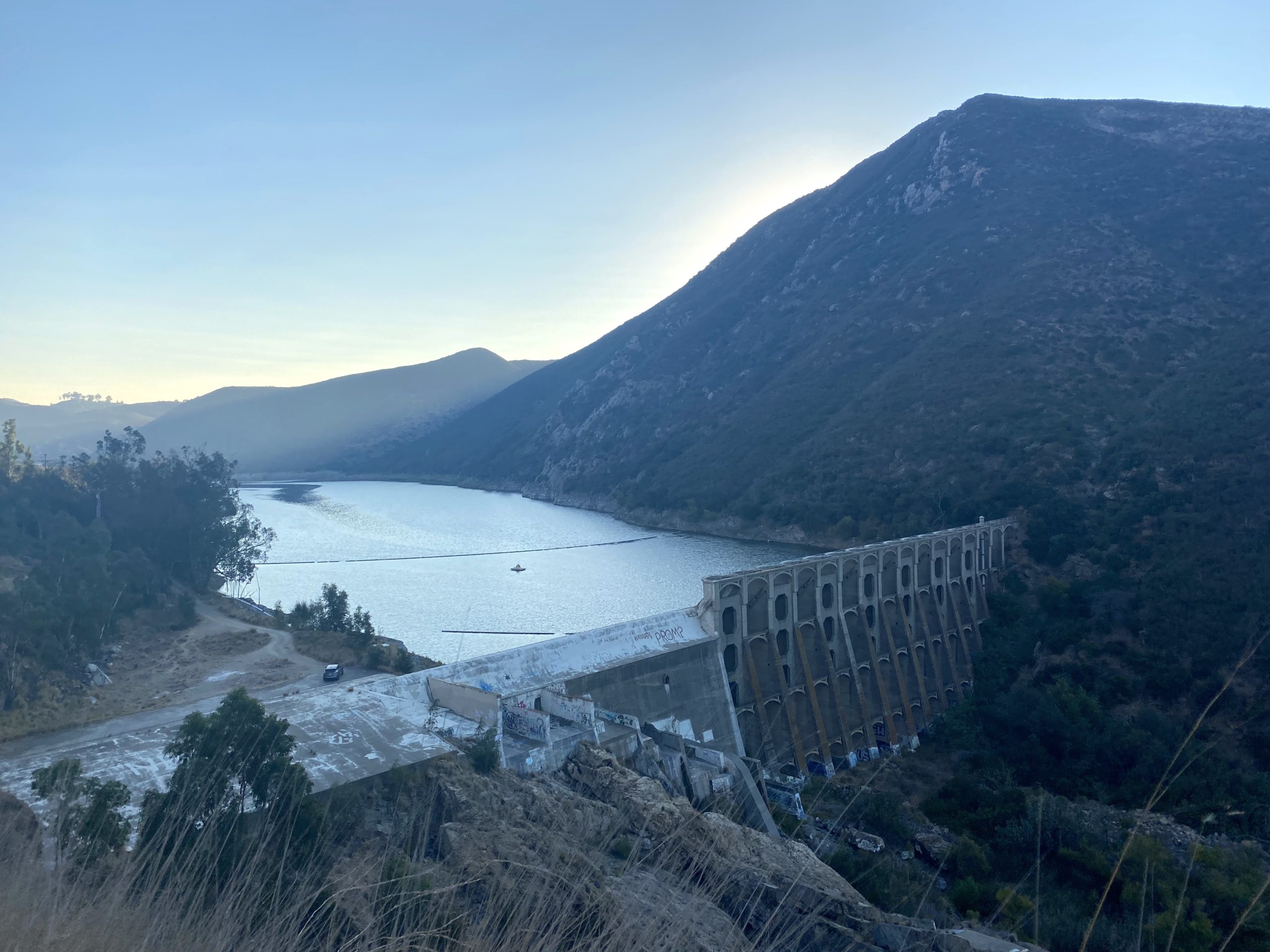
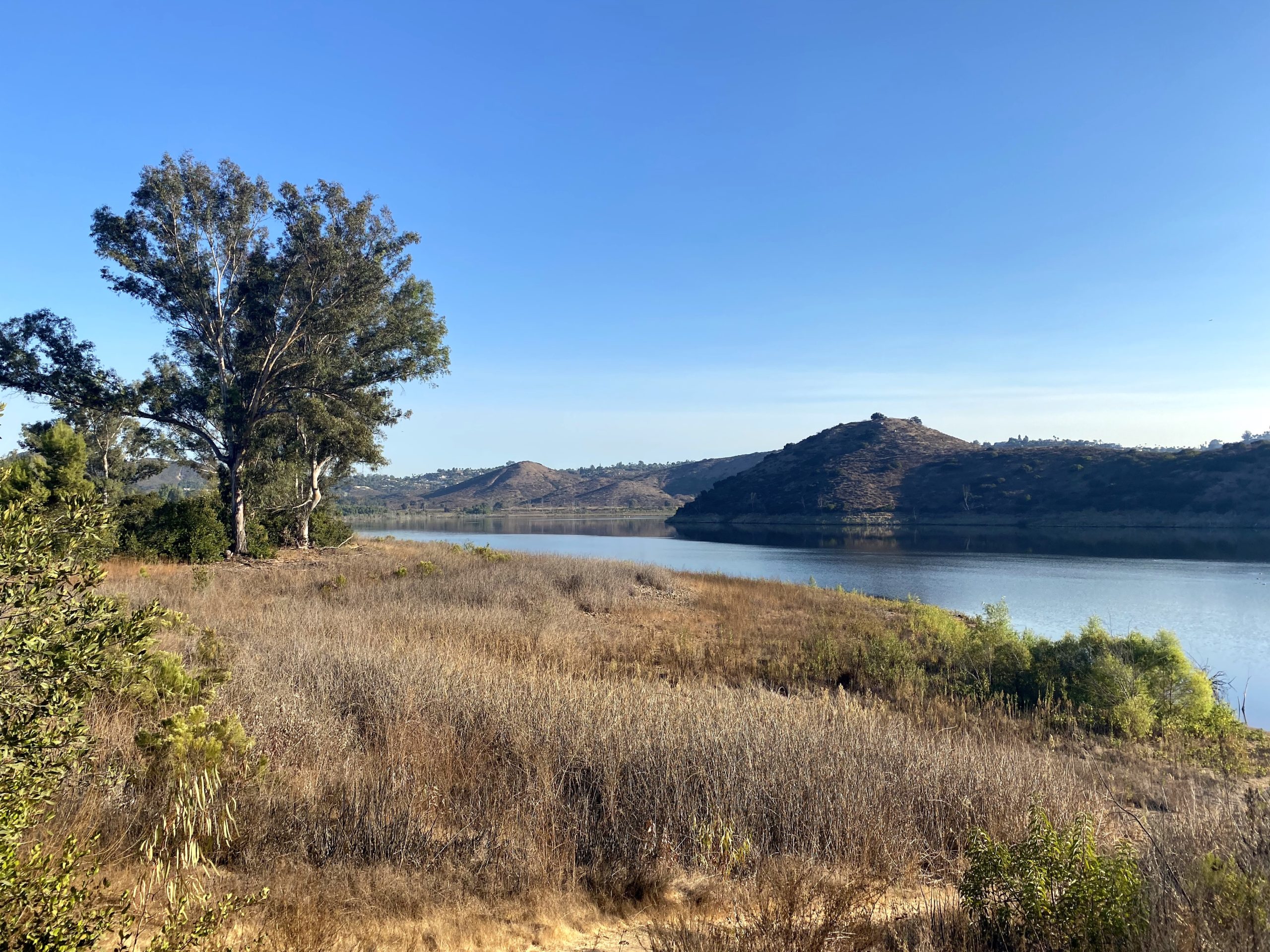
Did the North Lake Hodges trail this morning. This was my 3rd hike of this year’s Coast to Crest Challenge. Lovely hike, but you do have to keep an ear out for mountain bikers on this one. When I pulled into the staging area, there were three cars already parked there. The sun had not risen yet as I headed off down the trail. My route would basically follow Lake Hodges shore to the dam and then, onto the Rattlesnake View Spot. This selfie spot was used previously, so I knew exactly where I was headed.
The air was again nice and cool, making for some enjoyable hiking weather. I quickly found myself near the dam and the one tiny bit of elevation gain for this hike. I could see from the tracks on the ground that this trail is a favorite with mountain bikers, as it was mostly tire threads in the dirt. I think I encountered about 8 or so along the way, even this early.
I got the selfie spot and snapped a few photos. I opted not to interact with the telescope this time. Life in a pandemic…
While returning to the car, a section of the hike is on the service road to the dam. Thinking about a design problem, I missed my turn back onto the trail. I opted to stay on the road, as I knew it did intersect with the trail in a bit. I found a joining trail after a bit and got back onto the dirt trail and off the gravel road. Back at the parking lot, it had now almost completely filled up. Glad I hit it early.
I am an avid peak bagger, sometimes backpacker, and former sea kayaker living in San Diego. I am the co-author of Urban Trails: San Diego, coming in Spring 2026!
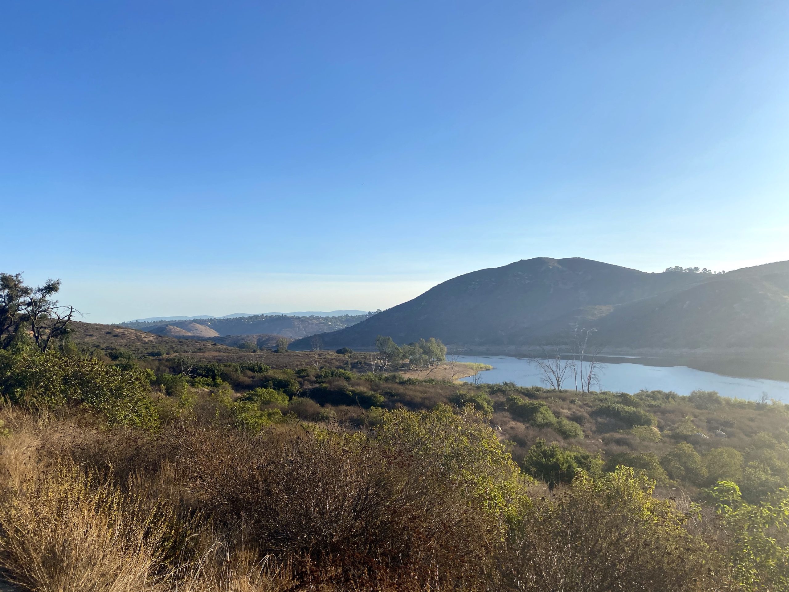
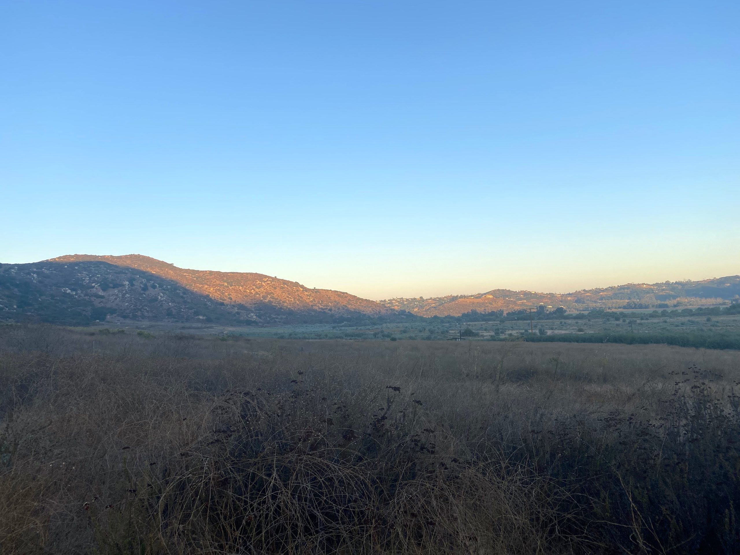
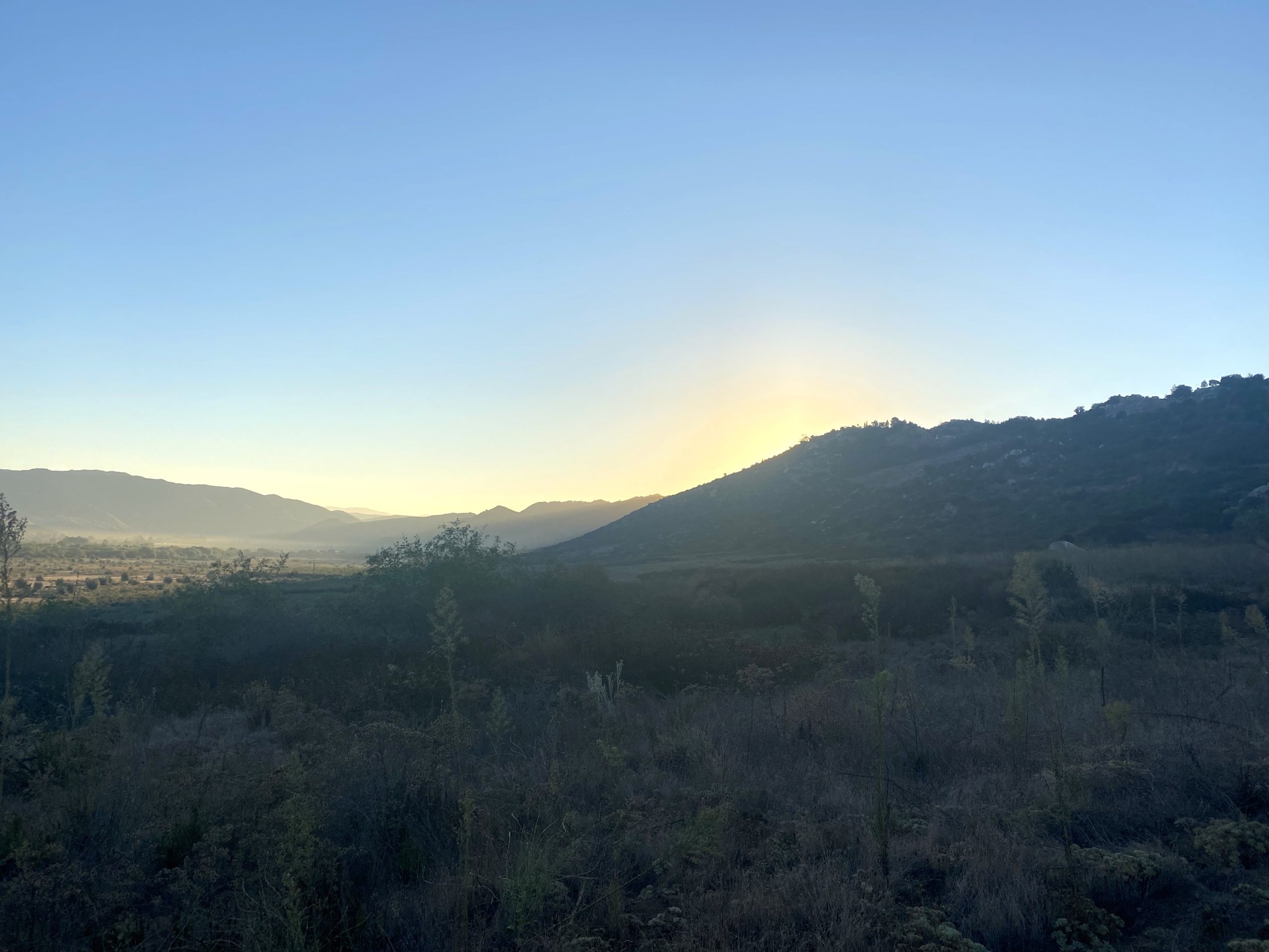
Today’s hike was through a section of San Pasqual Valley up to Raptor Ridge and back. This would be my second hike of the 2020-2021 Coast to Crest Challenge. I again arrived at the trailhead just before sunrise to beat the predicted heat.
The trail headed west along the south side of San Pasqual Valley. The air was nice and crisp as I cruised along, as the sun had not yet risen over the hills behind me. After about 1.5 miles I reached the base of the hill and began working my way up. A runner passed me, surrounded by her four dogs.
The sun began to spread its rays across the valley and the surrounding hills, making for some lovely views. I reached the “selfie spot” and took my photo. I rested for on the picnic bench for a few minutes before heading back down. As I worked my way back to the car, I encountered two more folks using the trail.
I am an avid peak bagger, sometimes backpacker, and former sea kayaker living in San Diego. I am the co-author of Urban Trails: San Diego, coming in Spring 2026!